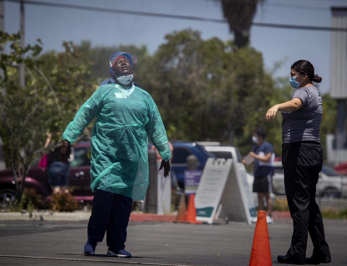
Cooling forecast for Southern California after weekend of record-breaking heat

- Share via
After a weekend heat wave brought record-breaking temperatures, much of Southern California will enjoy a slow cooling until Wednesday.
“People in many areas — at least the coast areas and the valley areas — will see maybe five to 10 degrees of cooling,” said David Sweet, a meteorologist with the National Weather Service in Oxnard. “So relief is on the way.”
The cooldown started Monday, when downtown Los Angeles saw a high of 85 degrees while coastal areas reached temperatures in the high 70s, meteorologists said.
In the valleys, temperatures remained warm but were much cooler than in the previous few days. Palmdale and Lancaster highs were 100 and 99 degrees, respectively, on Monday.
Palm Springs and Borrego Springs reached 121 degrees Sunday, surpassing the records of 120 and 116 degrees set for that date in 1985 and 1976, respectively, according to the National Weather Service. Temperatures hit 100 degrees in Ramona and 107 in Campo, topping July 12 records set in 1999 and 1983.
In Los Angeles County, weather service monitoring stations recorded a high of 108 degrees at Fox Field in Lancaster on Sunday, surpassing the previous July 12 record of 107 set in 2002. Sandberg, a ghost town in the Sierra Pelona Mountains, saw a high of 98, breaking the record of 96 set in 1994, according to the weather service.
A high-pressure system centered over New Mexico brought the warm temperatures to the area, but it’s now shifting to the south and east thanks to a weak low-pressure system pushing down from the Northwest, Sweet said. That’s leading to a stronger sea breeze, bringing a gradual cooling trend that’s expected to last through Wednesday, he said.
Tuesday’s temperatures are expected to drop to about 80 degrees in downtown L.A., and to the low to mid-70s along the coast, meteorologist Kathy Hoxsie said. In the valleys, temperatures will drop to between the mid 80s and high 90s.
Despite the cooler weather, meteorologists said it’s still mid-fire season. Particularly in the Antelope and Santa Clarita valleys, gusty afternoon winds combined with low humidity, heavy fuels and residual heat create conditions that can lead to rapid fire spread.
“The fire weather risk remains elevated, especially today and maybe tomorrow, because we still have some lingering heat over the Antelope Valley, and the increase in the sea breeze will give you a combination of gusty winds and lingering heat and low humidities,” Sweet said.
It’ll begin to warm up again by Thursday, but not nearly as much as last weekend.
“Thursday should not be much warmer, nor is Friday,” Hoxsie said. “When it heats back up, it’s not going to be as dramatic as this last time. It’ll be a gentle warming.”
More to Read
Sign up for Essential California
The most important California stories and recommendations in your inbox every morning.
You may occasionally receive promotional content from the Los Angeles Times.


