Winds to worsen Southern California fire danger as record-breaking fall heat wave continues
- Share via
A record-breaking fall heat wave and gusty Santa Ana winds will team up to heighten fire danger across a swath of Southern California this week, with officials saying the bone-dry, blustery conditions will make it easier for new blazes to both start and spread.
Given the foreboding forecast, the National Weather Service has issued a fire weather watch covering the Santa Clarita Valley, Los Angeles and Ventura county mountains, mountains and coastal slopes of the San Bernardino and Santa Ana ranges, as well as areas of the Inland Empire below the Cajon Pass.
Conditions are expected to be most critical late Thursday night through Friday afternoon, according to David Sweet, a meteorologist with the National Weather Service in Oxnard.
“Around 9, 10 a.m., that’s when the Santa Ana winds will peak and provide that risk of rapid spread to fires because of wind,” he said Thursday. “And then in the afternoon, we’re looking at low relative humidities — down to the single digits.”
Winds of 20 to 30 mph are expected, with gusts up to 45 mph, he said.
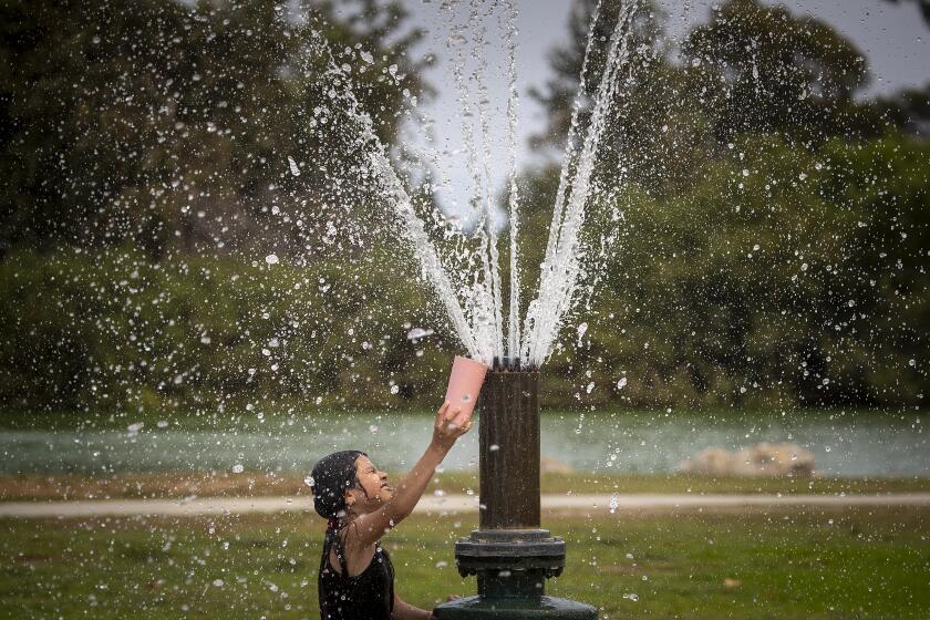
On top of that, much of southwestern California remains in the grip of a heat wave that has hiked temperatures 10 to 20 degrees above normal. A heat advisory remains in effect for the region through Friday evening.
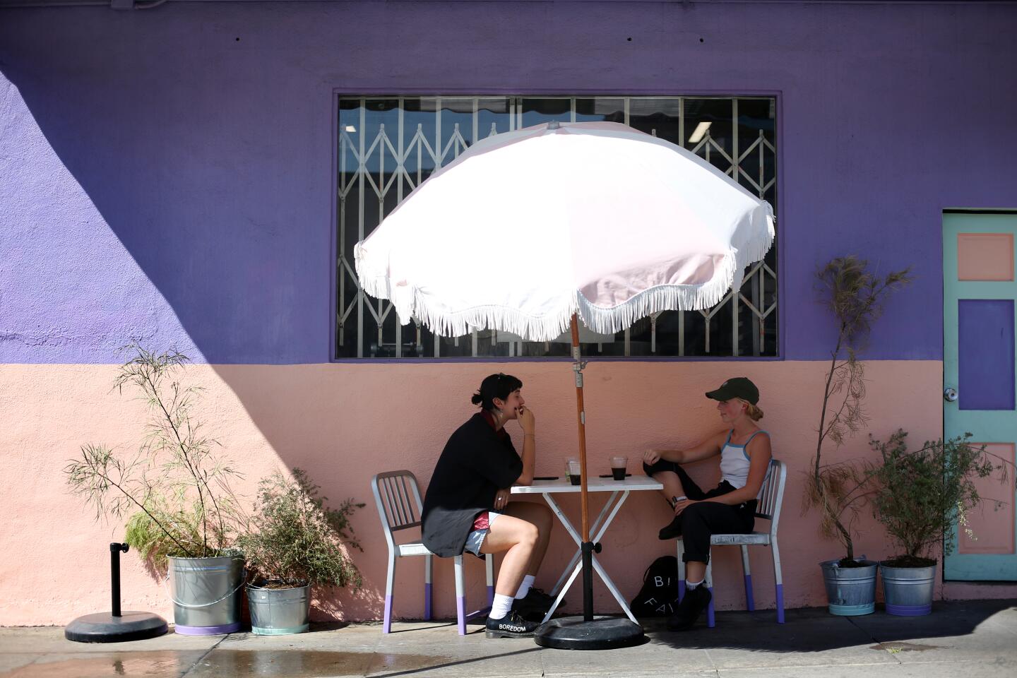
A fall heat wave will last through Friday, with temperatures in California 10 to 20 degrees above normal, forecasters say.
The current hot spell — the latest in a series of scorchers to smack California over recent months — has already rewritten the record books in some areas, according to the National Weather Service.
New daily highs were set Wednesday in Anaheim, at 96 degrees; Big Bear, 79; Idyllwild, 87; Campo, 100; Sandberg, 88; and at Santa Maria Airport, 102.
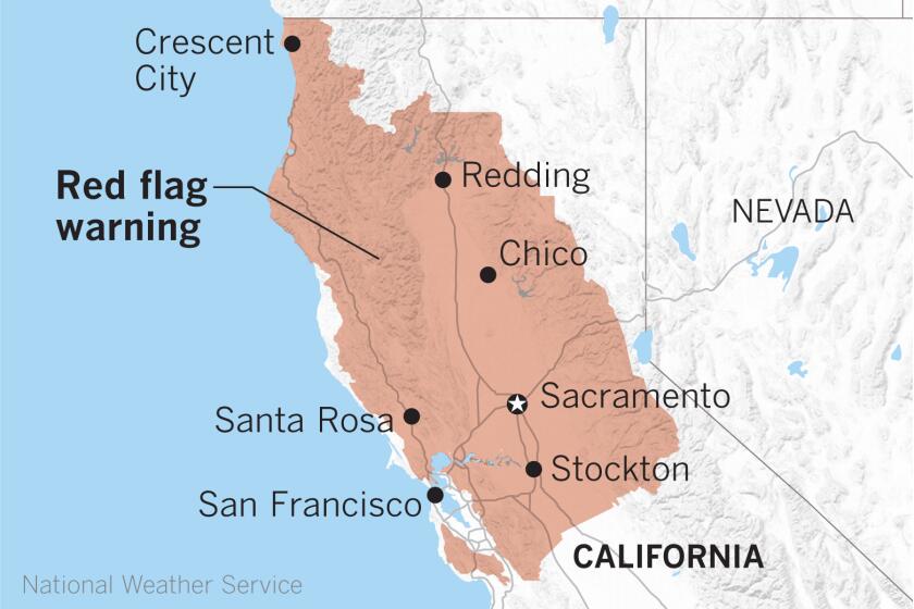
And sweltering, parched and breezy conditions aren’t limited to the Southland. Much of Northern California remains under a red flag warning — indicating critical fire weather conditions.
The California Department of Forestry and Fire Protection is increasing staffing in light of the forecast.
“Cal Fire is asking residents to ensure they are prepared if a wildfire strikes near them,” department officials wrote in a statewide situation update Thursday. “With red flag conditions in many parts of the state over the next couple of days, fires in these areas can spread rapidly.”
Diablo winds and low humidity will bring critical fire weather to Northern California through Friday
Heat, winds and dangerously dry air will make any fires spread quickly.
There is some good news on the horizon, though. Temperatures are expected to begin cooling over the weekend and continue to trend downward heading into next week, Sweet said.
“By the middle of next week or so, temperatures may still be a little bit above normal, but much closer to normal,” he said. “Hopefully, this extreme situation will be coming to a close.”
However, the one thing that would be most beneficial to this year’s historically active and devastating fire season — rain — remains stubbornly out of the forecast in Southern California for the foreseeable future.
“This is a critical time of year because any time we get to this season, it’s a race between the first rains and the Santa Ana winds,” Sweet said. “And if the Santa Ana winds get here first, then we have the real fire danger. If the rains get here first, that can help to cut down on the fire danger.”
For 2020, he said, “score one for Santa Anas.”
More to Read
Sign up for Essential California
The most important California stories and recommendations in your inbox every morning.
You may occasionally receive promotional content from the Los Angeles Times.


