Santa Anas to blow into the weekend, but rain dampens fire threat

- Share via
Santa Ana winds are expected to blow into Los Angeles this weekend, carrying gusts up to 30 to 40 mph in the county’s valleys and mountains, officials said.
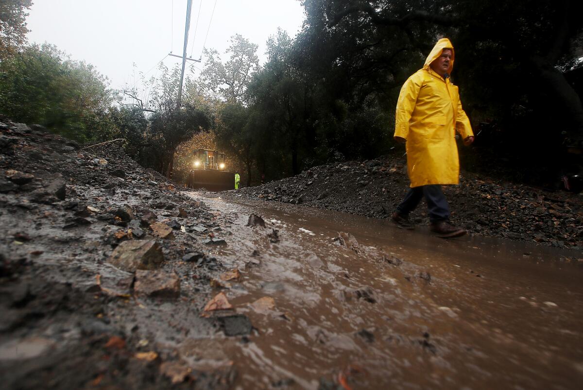
But thanks to Tuesday’s record-breaking storm and more rain Thursday, vegetation along the region’s slopes carries enough moisture to ward off threats of wildfires, said Ryan Kittell, meteorologist with the National Weather Service.
Areas that can expect the strongest winds are the San Fernando and Santa Clarita valleys and the Santa Monica Mountains, places that are usually tinderboxes for flames during drier periods of the year.
Though the Santa Anas will dry the air, temperatures will remain in line with the recent wintry weather trend, with lows in the 30s and 40s, and a slightly warmer 60s during the day, Kittell said.
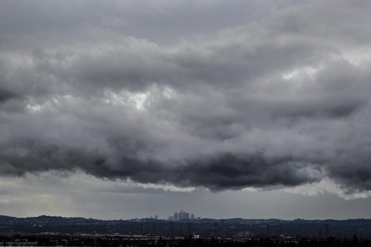
A weak storm system also traveled down California, hovering over Santa Barbara County on Thursday morning, and landed in Los Angeles in the afternoon. However, the nearer the storm drew to L.A., the weaker it got, weather service officials said.
Most places weren’t expected to get any rain, Kittell said, and in other areas only about a tenth of an inch was expected by Thursday evening.
“Just about enough to wet the ground,” he said.

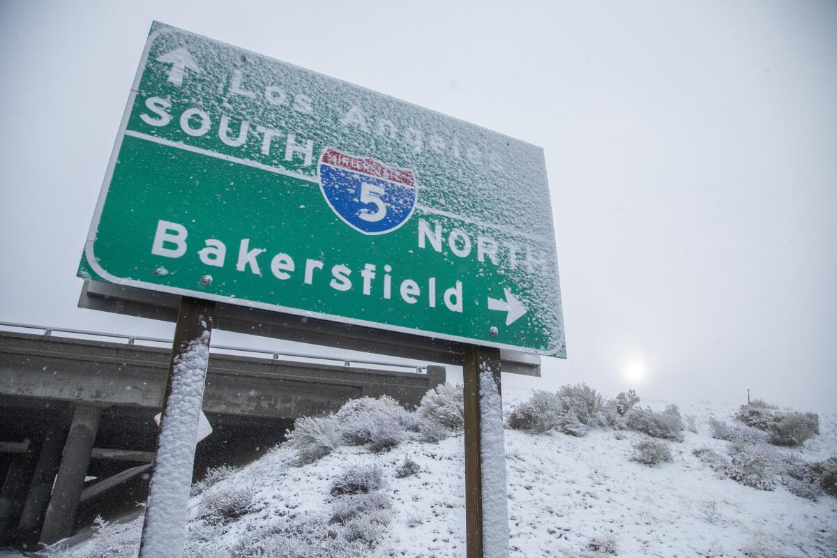
Though the recent rain and snow brought relief across California, bringing an end to another record-breaking wildfire season and the state’s driest year in a century, the precipitation was not enough to lift the state out of its drought conditions.
Experts said the recent rain was a glimpse of what a healthy, normal year for rain could be, but it would take more than normal to pull the state out of the drought. California’s water supply levels and snowpack in the southern Sierra Nevada remained significantly lower than normal.
Weather officials said Southern California is set to receive another serving of rain, starting Tuesday and into Christmas Day.
Forecasts indicate at least one significant storm is expected to blanket the region with more rainfall.
“It’s just where and how much is still troublesome to figure out,” Kittell said. “And it doesn’t look like we’re gonna get anything stronger than this past week.”

More to Read
Sign up for Essential California
The most important California stories and recommendations in your inbox every morning.
You may occasionally receive promotional content from the Los Angeles Times.


