More winter weather is on the way as drought persists
- Share via
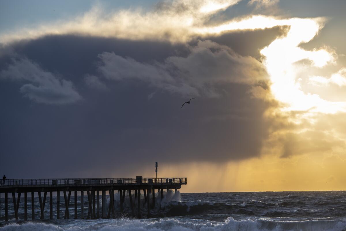
The slow-moving storm that dropped a deluge across California this week broke several rainfall records and marked a welcome reprieve for the drought-stricken state, but more precipitation is needed to get conditions on track, officials said.
Nine locations in the Los Angeles area set daily records Tuesday during what forecasters called the most significant storm of the season. Downtown L.A. received 2.16 inches of rain — more than twice the previous record for the date set back in 1888, according to the National Weather Service.
By Wednesday, another storm was brewing in Northern California. Officials said more rain was possible in Los Angeles on Thursday and again next week.
A powerful storm that has already walloped Northern California could bring as much as 3 inches of rain to Southern California’s coastal areas.
Yet despite the influx of moisture after months of bone-dry conditions, experts said the region’s drought persists. The recent storm was healthy, said UCLA climate scientist Alex Hall, but “not a drought-buster.”
“Really, what we need this year is not a normal year, but an above normal year,” Hall said, noting the significant absence of precipitation that has been plaguing the West. “We need many more of these [storms] to get out of the drought.”
The recent storm appears to have made a minor dent in the state’s water supplies. Lake Oroville on Wednesday was 8 feet higher than the week prior, according to the California Department of Water Resources. But at 680 feet, that’s only 31% of capacity.
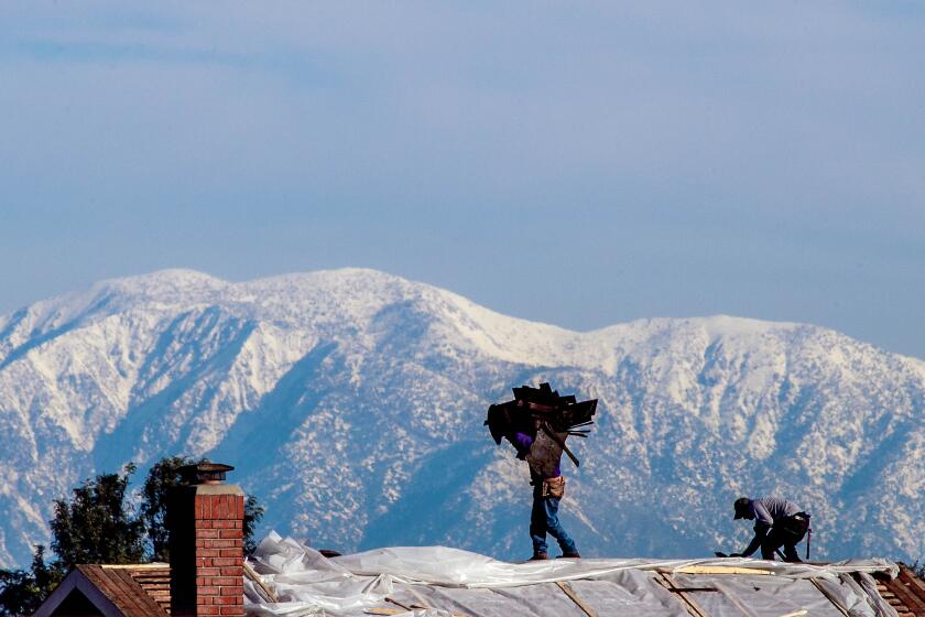
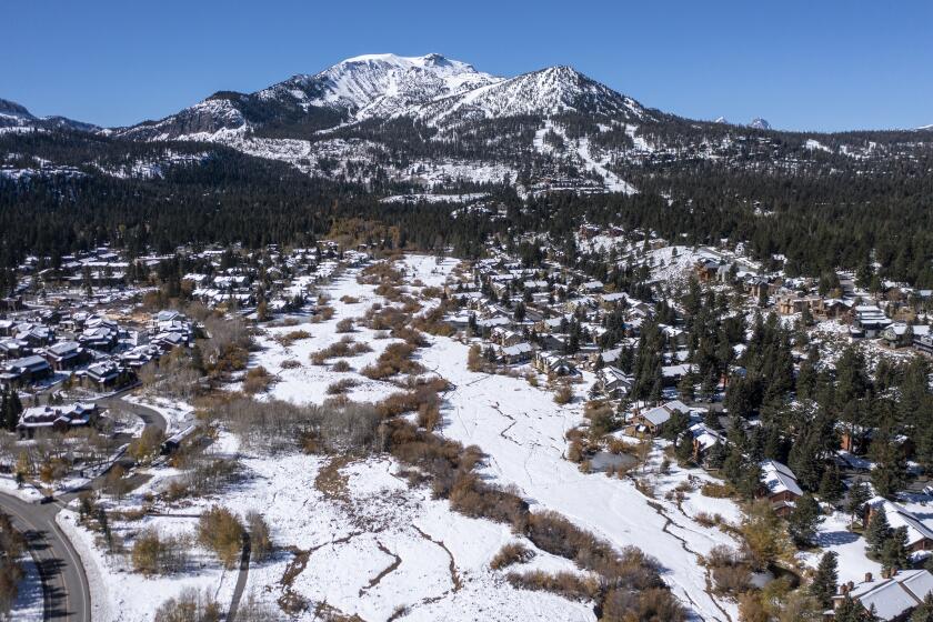
Hall said most of the storm’s precipitation fell as snow. Yet despite what felt like mountains of powder — including as much as 6 feet around Lake Tahoe — overall snowpack levels are still below normal.
The National Weather Service said the slow-moving storm broke several rainfall records for the date. Downtown L.A. saw more than 2 inches of rain by noon.
For the record:
4:10 p.m. Dec. 17, 2021An earlier version of this story said the southern Sierra Nevada snowpack was at 21% of average on Dec. 15, when it is normally around 97% this time of year. The story should have said that a storm brought the snowpack up to about 97% of its normal amount for that date.
In the southern Sierra Nevada, the storm brought the snowpack to about 97% of its normal amount for that date, according to state data.
Still, the arrival of snow in any amount was cause for celebration at ski resorts across the state, several of which had to delay the start of their seasons due to warm and dry conditions.
“Here we goooo,” officials at Big Bear Mountain Resort wrote on Twitter, Tuesday alongside an image of the falling snow. The ski area received up to 10 inches of fresh powder, they said.
Researchers recently found that due to climate change, winters of low snow — or even no snow — could become a regular occurrence in the state in as little as 35 years.
New research has found that winters of low snow, or even no snow, could become a regular occurrence in California in as little as 35 years.
Indeed, Tuesday’s storm arrived on the heels of one of the driest Novembers in recent memory, which followed California’s driest year in a century. Los Angeles received zero inches of precipitation in November for the first time in nearly 30 years, according to the weather service.
Gov. Gavin Newsom placed the entire state under a drought emergency earlier this year. Last week, officials at the state water board said they were weighing emergency regulations to help curtail water waste and conserve critical supplies.
Hall said the latest storm “doesn’t get us out of the woods” but does put the state back “on the path of a normal year.”
“We’re just so deprived of rain that when we have a normal storm, we’re excited,” he said. “That maybe says something more about deprivation.”
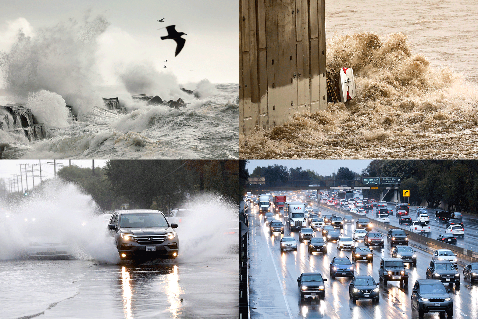
Though the storm was welcome, it made a mess of a region more equipped to handle sunshine. Reports of downed trees, power outages, debris flows and water rescues came in from across the Southland on Tuesday.
The normally constrained L.A. River roared to life amid the steady downpour, sucking vehicles into its surging waters and carrying a Sylmar man more than half a mile before rescuers pulled him from a tunnel.
To the north, Highway 1 was closed near Big Sur as officials assessed rockfall and debris that came down with the storm. Meanwhile, several wildfire burn scars around the state turned into sources of shallow mud and debris flows, prompting additional rescues.
But there were benefits to the rainstorm. Some L.A. residents celebrated the small victories, with one person noting on Twitter: “My garden is happy.”
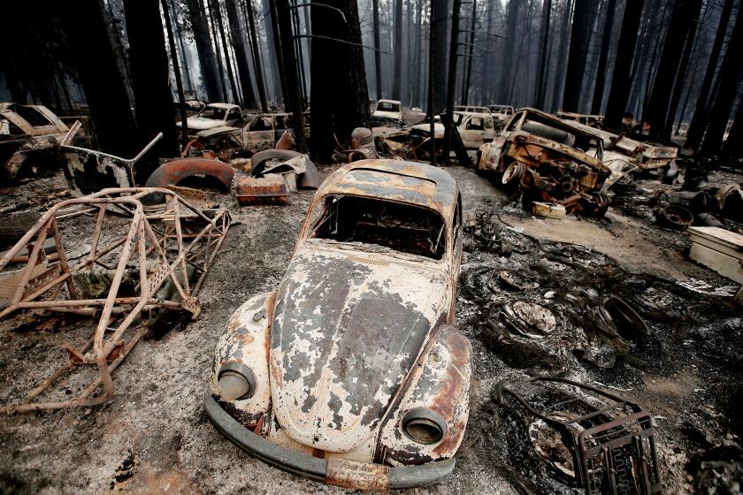
Officials also said the recent rains have drawn a curtain on this year’s fire season, which saw more than 2.5 million acres burned across the state and thousands of homes destroyed.
An approaching storm system and cooler temperatures may soon end Southern California’s wildfire season.
The National Oceanic and Atmospheric Administration’s seasonal outlook, issued in October, calls for drier and warmer conditions across much of the West this winter. But officials on Wednesday said there is more precipitation on the horizon in the days and weeks to come.
The National Weather Service has issued winter storm watches and warnings across large swaths of the state from northern and central California to the Sierra, advising residents of the potential for more snow and hazardous conditions through Thursday morning.
The building storm could drop up to 4 feet of snow in Lassen Park, while areas from Donner Pass to Sonora Pass could get as much as 2 feet, officials said. Travel delays, slick roads and near white-out conditions are possible.
Katrina Hand, a meteorologist with the weather service in Sacramento, said the cold system was moving in from the Pacific and heading southeast toward southern Nevada.
The storm will begin to taper off once it passes through the northern part of the state, she said, but “pretty much all rain and snow is welcome to some extent.”
“There are some hazardous mountain travel conditions expected, but it is looking like we are sticking in this weather pattern, at least for the rest of this week and into next week,” she said.
Some stormy weather could make its way south. There is a 40% chance of rain the L.A. area Thursday afternoon, according to David Sweet, a meteorologist with the National Weather Service in Oxnard.
“It’s a very quick-hitting, small system that has the potential to bring about a tenth of an inch [to Los Angeles],” he said.
A more active system could bring rain to Los Angeles again next week, with forecasters noting that “it is more than likely that every area will see rain at some point in the Tuesday-to-Wednesday time period.”
After so many months of dryness, the latest rainfalls have been a “real turnaround,” Sweet said.
“But of course, we’ve had a drought that’s lasted two years,” he added. “As good as those numbers sound, we’re still in bad need of some rain.”
More to Read
Sign up for Essential California
The most important California stories and recommendations in your inbox every morning.
You may occasionally receive promotional content from the Los Angeles Times.

