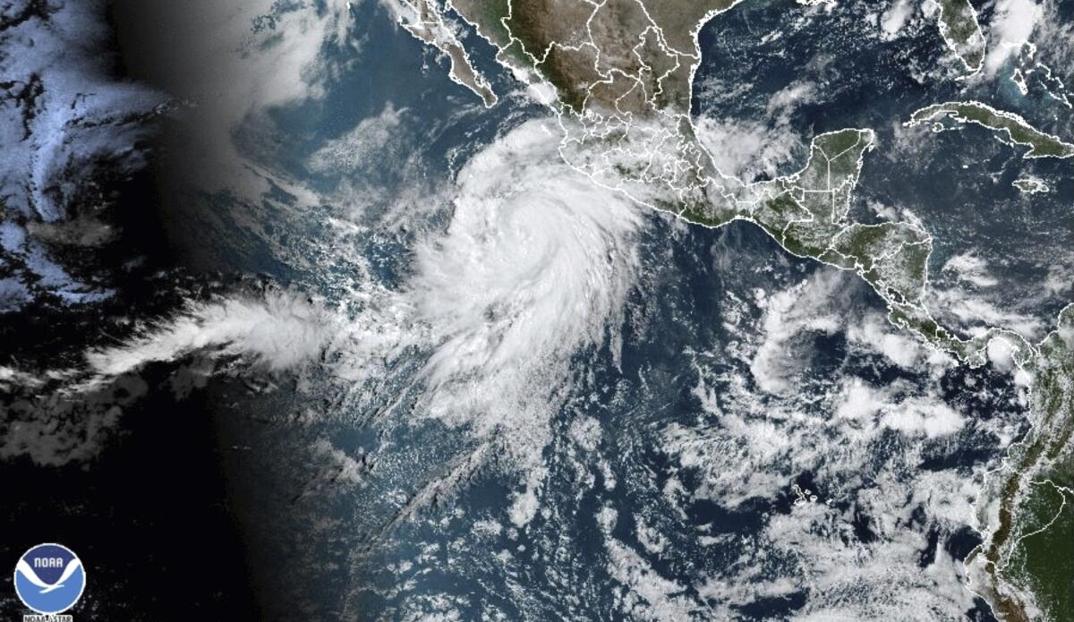
Hurricane Hilary is upgraded to Category 4, amplifying danger to Southern California

- Share via
Hurricane Hilary, rapidly intensifying off Mexico’s west coast, was upgraded to a Category 4 storm Friday morning, with forecasters warning that the storm will likely hit Southern California by the weekend and bring a deluge of rain, whipping winds and dangerous surf.
By the time the system makes it to the southwestern U.S., officials believe its hurricane-strength winds will have weakened — lessened by landfall or cooler waters, depending on its path. But there’s still a good chance that tropical-storm-force winds will hit the Southland, an event that the region hasn’t seen since 1939.
The National Weather Service in San Diego noted Thursday evening that heavy rainfall was expected, especially in mountain and desert areas. At that time, the service upgraded Hilary to a Category 3 storm, but hours later, it moved the hurricane up to Category 4.
Projections show the storm has about a 50% chance of hitting Southern California late Sunday or early Monday as a tropical storm, meaning sustained winds at or above 39 mph.
Much about the path and strength of the storm could still change in the coming days, officials warn.
“It’s going to be slowing down, but the pace it slows down makes it hard to say with certainty whether or not the winds will get [to Southern California],” said Jamie Rhome, the deputy director of the National Hurricane Center. “There’s potential that it could weaken faster than we are projecting right now. That’s certainly what we are all hoping.”
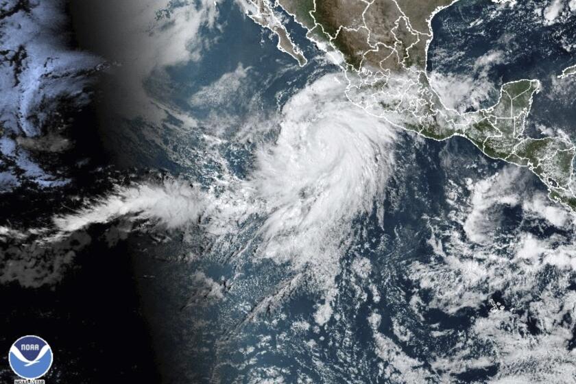
Hurricane Hilary, upgraded from a tropical storm, could slam Southern California and the southwestern U.S. this weekend with heavy rain, wind and surf.
Hilary’s potential track also remains relatively wide. It’s possible the storm could veer west of Los Angeles, remaining over the Pacific Ocean longer, or turn farther east and hit western Arizona most directly.
“All of southwest California is very much in play for a landfalling tropical system,” Eric Boldt, the warning coordination meteorologist with the National Weather Service in Oxnard, said during a press briefing.
Even if the storm doesn’t directly make landfall in Southern California, its impact could still be felt in Ventura and Los Angeles counties, Boldt said, with strong swells on the coast, powerful winds, heavy rain and even the possibility of “isolated but powerful tornadoes.”
That more easterly path would take the storm over more of the Baja California peninsula and more rapidly weaken the cyclone.
“That would lessen the chances of the winds making it into Southern California,” Rhome said.
If it steers clear of Baja California, cooler waters off the Southern California coast would still weaken the system, Rhome said.
“It is going to make landfall somewhere in Baja or Southern California, just exactly where and how intense it will be are still in question,” said Adam Roser, a meteorologist with the National Weather Service in San Diego.
Hurricane Hilary is headed toward San Diego and L.A., with about a 50-50 chance tropical storm-force winds hit SoCal. What to know and how to stay safe.
But even if the storm slows more rapidly or doesn’t hit Southern California as directly, Rhome warned that a downgraded storm “can be a wolf in sheep’s clothing.”
“The rain doesn’t care about the wind speed,” he said. “Whether it’s a depression or a tropical storm, it doesn’t matter. People need to be really thinking heavy rain and flood potential.”
Although Hurricane Hilary may not be as strong when it reaches California, it is still expected to drop a considerable amount of rain on the region.
Rain will be the main concern for the southwest U.S. as the storm approaches — particularly anywhere south of Las Vegas— with considerable precipitation expected as early as Saturday.
“The rain is really at the forefront of our minds right now,” Rhome said.
Summer rains are unusual for this part of the country, and any heavy precipitation this weekend raises the possibility for flash flooding across Southern California, as well as in southern Nevada and western Arizona. Much of inland Southern California has a moderate chance for flash flooding over the next five days, with the mountains and deserts of San Diego, Riverside and San Bernardino counties expected to see the most significant rainfall.
The first rains could reach Southern California’s mountains and high deserts Saturday afternoon, with high winds and more widespread rainfall expected by late Sunday, forecasts show.
Tropical cyclones in the Pacific basin rarely range north to California. In 1939 there were four in one month.
Some eastern-facing mountains in San Diego and Riverside counties could see up to 10 inches of rain by Tuesday. Up to 6 inches is possible for the Coachella Valley and San Diego deserts, according to the National Hurricane Center. Almost all of Southern California can expect up to 4 inches of rain through Tuesday.
Some deserts could see “close to their annual average [rainfall] in a couple of days,” Roser said.
The wind and rain are expected to peak Monday.
The latest track for the storm shows Hilary headed north toward the Baja California peninsula, and it’s expected to become a major hurricane by late Thursday, with sustained winds over 100 mph. The hurricane looks like it could make landfall in the southern Baja California peninsula early Sunday, and then move north.
A tropical storm warning and watch is in effect for the most southern portions of the Baja California peninsula, with flash flood and landslide concerns beginning late Friday to Sunday. The National Hurricane Center said additional advisories will likely be announced late Thursday.
Experts said the forecast will continue to become more accurate over the next few days, but it’s hard to pinpoint the path and intensity when so many factors are at play.
“They’re so dependent and so sensitive to the environment they’re moving through,” Rhome said.
Roser said Hilary is moving into two different systems: a weak trough of low pressure off the coast of Southern California and the relentless ridge of high pressure that’s hovered over Texas and moved across the southwest U.S. this summer.
“Hilary is kind of going to squeeze through there, and it really depends where those pressure systems are going to be situated,” Roser said.
Rhome expects more detailed forecasts for the storm’s impact on Southern California to be available Friday.
“It’s going to be a big rainmaker,” he said. “I don’t care if the peak winds are 50 mph or 30 mph. … Those rains are most likely to spread over [somewhere] in the southwestern U.S. and cause flooding problems.”
Times staff writer Salvador Hernandez contributed to this report.
More to Read
Sign up for Essential California
The most important California stories and recommendations in your inbox every morning.
You may occasionally receive promotional content from the Los Angeles Times.


