Avalanche buries 2, killing 1, at Lake Tahoe-area ski resort
- Share via
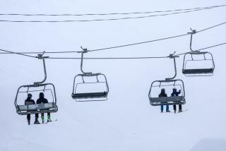
Sixteen-year-old Storm Jacobs was on a chairlift at Palisades Tahoe resort on Wednesday morning when he saw a tragedy begin to unfurl.
Jacobs was headed to the newly opened KT-22 peak when he saw a wave of snow that picked up momentum, knocking down a skier and then a snowboarder.
As people screamed, “Avalanche!” Jacobs said, he and his friends were “all in shock.”
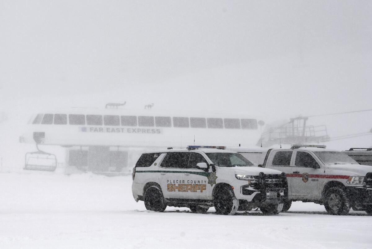
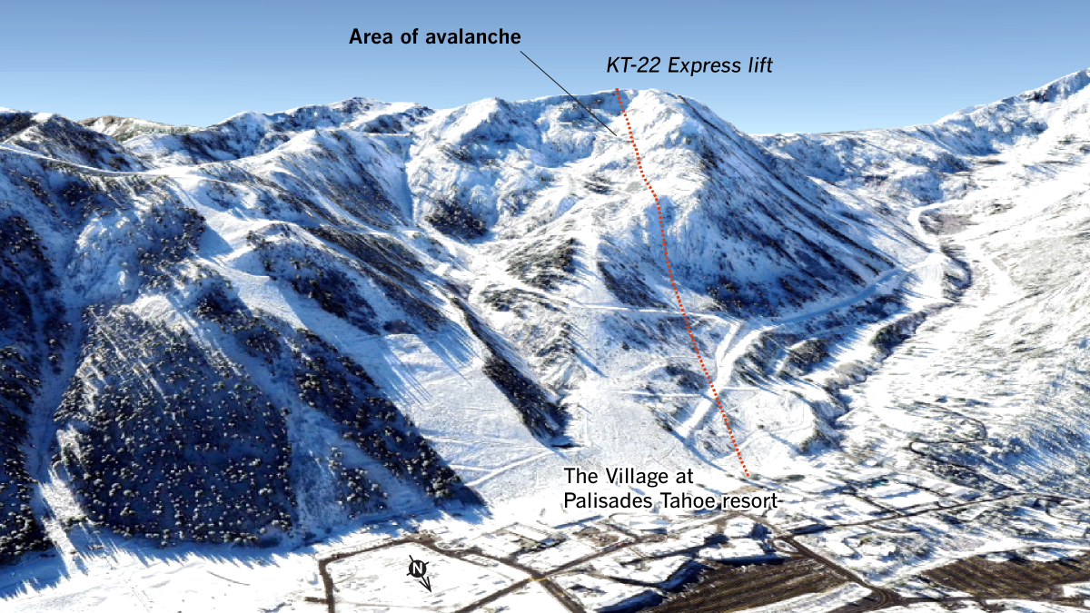
One skier was killed and another guest was injured when they were buried in the avalanche Wednesday at the popular ski resort near Lake Tahoe, officials said. It occurred at about 9:30 a.m. above the G.S. Gully area of the KT-22 peak, the resort said in a statement. Patrol and mountain operations teams began a search, and all lifts on both the Palisades and Alpine Meadows sides of the mountain resort were closed for the rest of the day.
The skier who died was identified Wednesday night by the Placer County Sheriff’s Office as 66-year-old Kenneth Kidd, a resident of both Point Reyes and the Truckee Tahoe area.
Two other people caught in the slide were pulled out by civilians, said Michael Gross, vice president of mountain operations at Palisades Tahoe. One was rescued by her partner, and the other was assisted by other guests. Gross told the San Francisco Chronicle that the two, as well as the skier who had been buried, were treated for unspecified injuries at a hospital and released.
“This is a very sad day for my team and everyone here,” said Dee Byrne, the president and chief operating officer of the resort, at the news conference. “This is a dynamic situation and we’re still undergoing investigation.”
Placer County sheriff’s deputies and the Olympic Valley Fire Department helped with the search and rescue operation, authorities said.
The search has concluded, resort officials said. No other people have been reported missing in the avalanche, whose debris field was 150 feet wide, 450 feet long and 10 feet deep, authorities said.
“There is nobody else up on the mountain as a result of the avalanche,” said Placer County sheriff’s Sgt. David Smith.
KT-22, one of Palisades’ most popular chairlifts, boasts diverse terrain, with moguls and chutes, trees and a bowl right off the lift. It opened for the first time this ski season at 9 a.m. Wednesday.
The avalanche came as one of the strongest storms to hit California so far this winter is expected to drop 12 to 18 inches of snow across the Lake Tahoe area from Wednesday to Thursday morning, according to the National Weather Service. A winter storm warning has been issued for those communities, including Truckee and South Lake Tahoe.
The Sierra Avalanche Center, which provides avalanche information for the Greater Tahoe area, had forecast “considerable” avalanche danger for Wednesday due to the storm and strong winds. The risk was expected to increase throughout the afternoon and into the evening.
Gross, however, said it was “absolutely” typical that KT-22 opened ahead of the projected snowstorm barreling toward the region. Ski patrol had been conducting avalanche control assessment on the terrain, he said, including evaluating weather conditions, the snowpack, wind speed and direction, and setting up safety and hazard markings since Sunday.
“We’ll evaluate the conditions,” Gross added, “and based on our expertise and experience and the history, if we deem the conditions safe, we’ll open the terrain.”
The resort will reopen Thursday, although the area around KT-22 will remain closed for investigation, the San Francisco Chronicle reported.
The avalanche center had warned that “weak snow” was buried about 1 to 2 feet below the snow surface throughout the region, which has resulted in avalanches during two storms over the last week. Wednesday’s storm was expected to pose a risk of unloading the weak layers and causing more avalanches.
Elevations above 7,000 feet west of Highway 89 could get 18 to 24 inches of snow, while the highest mountain peaks could see up to 30 inches of snow.
After a worryingly weak start to the winter for California’s mountains, two storms are expected to dump several inches of snow on the Sierra Nevada this week.
Wind gusts are also expected to reach as high as 50 mph in lower elevations and 90 to 110 mph along the Sierra Nevada ridges. Travel could be impossible; morning and evening commutes are expected to be affected.
Jacobs had arrived at the mountain around 8:30 in the morning and, after a run up Red Dog, got in line for the newly opened KT-22. From the chair, he said, he saw a wave of snow start falling about 4 to 5 feet below where skiers drop in at the crest of GS Bowl, a black diamond run.
Jacobs watched as one skier was bowled over by the cascading snow and a snowboarder sitting farther down the bowl was “engulfed.”
“I kind of just saw it start small,” he said, “and then it picked up a ton of snow.”
A second wave of snow barreled down the mountain, Jacobs said, dragging other skiers into its crush. Everyone was screaming warnings, yelling, “Avalanche, avalanche!” and calling for skiers to get out of the way. As soon as Jacobs got off the lift, he and his friends rushed to ski patrollers and pointed them in the direction where they believed people might be buried.
“We were all in shock, like, ‘Oh my goodness, we could have just watched people die,’” he said.
With a global average temperature of 58.96 degrees, the year was nearly one-third of a degree warmer than the previous hottest year on record, according to officials.
Larry Heywood was part of the ski patrol at Alpine back in 1982, when a monster avalanche crashed down the mountain and into the resort’s parking lot, killing seven people. Heywood was skiing at Alpine Meadows on Wednesday morning when he learned there had been an avalanche.
Before the resorts open, the ski patrol prepares explosive charges and analyzes which areas are most at risk. The explosives are deployed in danger areas and set off a shock wave that shakes the snow and releases the avalanche, so when the resort opens at 9 a.m., all the dangerous avalanches have already occurred.
“It doesn’t mean someone is at fault,” he said. “Sooner or later, Mother Nature catches up to you, no matter how thorough you are.”
On Wednesday, Mother Nature brought an onslaught of chilly weather to Southern California as well as high winds that could hit 80 mph.
The low-pressure system moving across the region Wednesday into Thursday was bringing cold temperatures, strong winds, mountain snow and the chance for showers, according to the National Weather Service.
A high wind warning was in effect from 6 p.m. Wednesday until noon Thursday for portions of southwest California, including Santa Catalina and Santa Barbara islands, the Santa Clarita Valley, the Malibu coast, the western Santa Monica Mountains, the San Fernando Valley, the western San Gabriel Mountains and the eastern Antelope Valley foothills.
Winds could reach 30 to 40 mph, with gusts up to 80 mph possible in isolated areas, posing a risk to trees and power lines. People should avoid being outside around tree branches and stay in the lower levels of their home during the windstorm, officials said.
A winter storm warning has also been issued for the northern Ventura County mountains and the Interstate 5 corridor, including the Tejon Pass, from 4 p.m. Wednesday until noon Thursday, according to the weather service. Light to moderate snow is expected, with total accumulations of 2 to 5 inches. Winds could reach 60 to 70 mph, with isolated gusts up to 80 mph possible. Travel could be dangerous, with the strong winds causing tree damage and almost zero visibility.
The storm will bring a chance of rain showers and snow in lower-elevation areas near Kern County, but totals are expected to be under 3 inches of snow and under a tenth of an inch of rain.
It’s expected to dry up by Thursday morning, although windy conditions could still continue through the late morning.
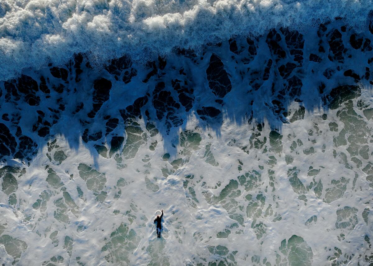
The weather service also issued a coastal flood advisory for beaches in San Luis Obispo and Santa Barbara counties. Large, breaking waves could reach 10 to 15 feet Wednesday and 12 to 17 feet Thursday, along with dangerous rip currents.
Flooding is likely during high tide, especially over low-lying coastal areas such as beaches, walkways and parking lots, just weeks after the coast was battered by heavy rainfall, flooding and rogue waves in December storms.
More to Read
Sign up for Essential California
The most important California stories and recommendations in your inbox every morning.
You may occasionally receive promotional content from the Los Angeles Times.
