Santa Ana winds to howl, blowing away spooky fog before Halloween

- Share via
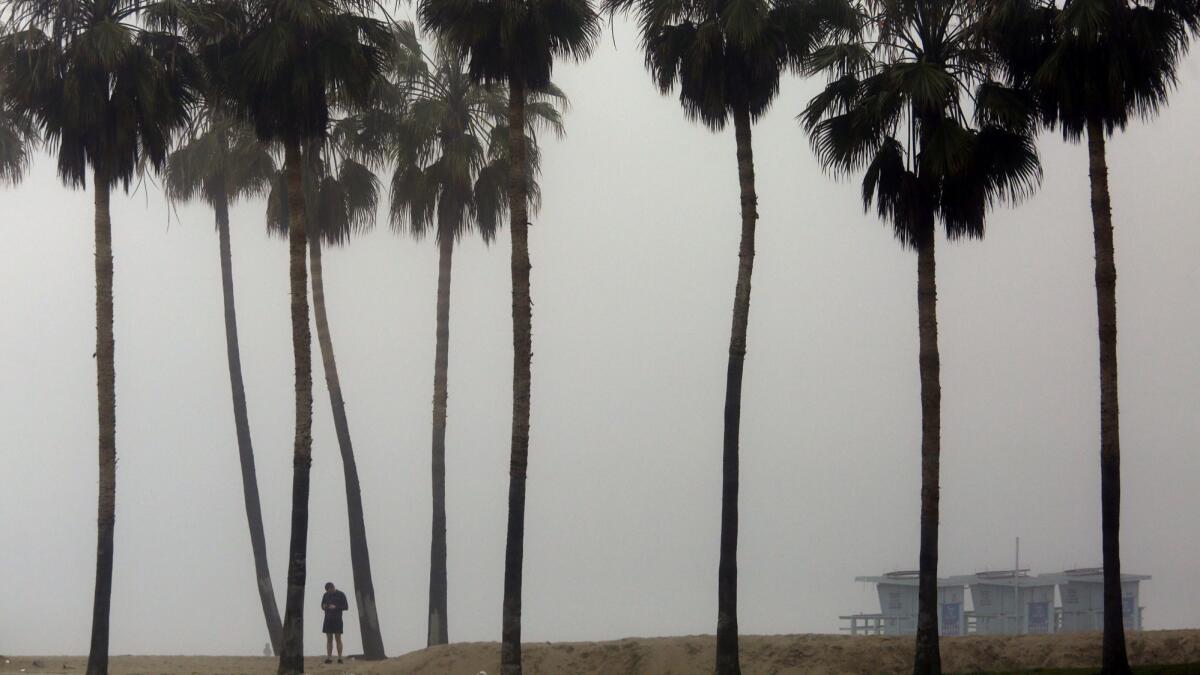
Southern California is getting a taste of fall weather, with spooky dense fog early in the week and howling Santa Ana winds picking up just in time for Halloween.
A low, dense fog blanketed much of Southern California on Monday morning, bringing cool weather from Los Angeles to San Diego. In the San Diego region, the widespread fog decreased visibility to less than a quarter-mile and prompted the National Weather Service to issue a hazardous-driving warning.
The fog, caused by a shallow marine layer and a lack of wind, was less widespread in the Los Angeles area but was thick along the county’s coast.
By Tuesday, Santa Ana winds will be back, pushing the fog inland, clearing the skies and making way for warmer weather, said David Sweet, a meteorologist with that National Weather Service in Oxnard.
On Tuesday and Wednesday, Los Angeles and Ventura counties will see highs in the low to mid-80s, while in San Diego and Orange counties, temperatures will hover between the high 70s and mid-80s.
Friday looks to be the warmest day this week, with widespread temperatures in the 80s and 90s, forecasters said.
In San Bernardino County, the winds will pick up as early as Monday night, reaching other areas Tuesday night, Sweet said. The mountains and valleys of Los Angeles and Ventura counties may experience gusts of up to 40 mph, with winds of about 15 mph in coastal regions, Sweet said.
In San Diego County, winds are expected to blow between 15 and 20 mph, with gusts up to 35 mph.
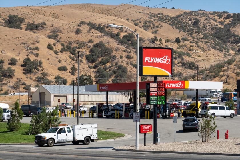
Forecasters warned of gusty northwest to north winds that are expected to develop across the mountains and south coast of Santa Barbara County on Monday night, causing difficult driving conditions, especially around canyons and mountain passes. Blowing dust in the Antelope Valley also may restrict visibility, making driving difficult.
The blustery winds are expected to bring warmer and drier weather in the latter part of the week, but it’s too early to tell whether a fire advisory will be necessary, Sweet said.
The National Weather Service in San Francisco issued a red flag warning from 11 p.m. Monday through 6 a.m. Tuesday for mountainous areas in the North Bay and for hilly regions in the East Bay.
Gusty offshore winds and low humidity could combine to create fire danger in the region, forecasters said. The highest threat exists for the hills in Napa County near the Yolo and Lake county lines.
alejandra.reyesvelarde@latimes.com
Twitter: @r_valejandra
Times staff writer Hailey Branson-Potts contributed to this report.
UPDATES:
6:10 p.m.: This article was updated with information about a red flag warning in the Bay Area.
This article was originally published at 9:40 a.m.
More to Read
Sign up for Essential California
The most important California stories and recommendations in your inbox every morning.
You may occasionally receive promotional content from the Los Angeles Times.


