Thunderstorms, waterspouts possible in L.A. County through Friday

The
- Share via
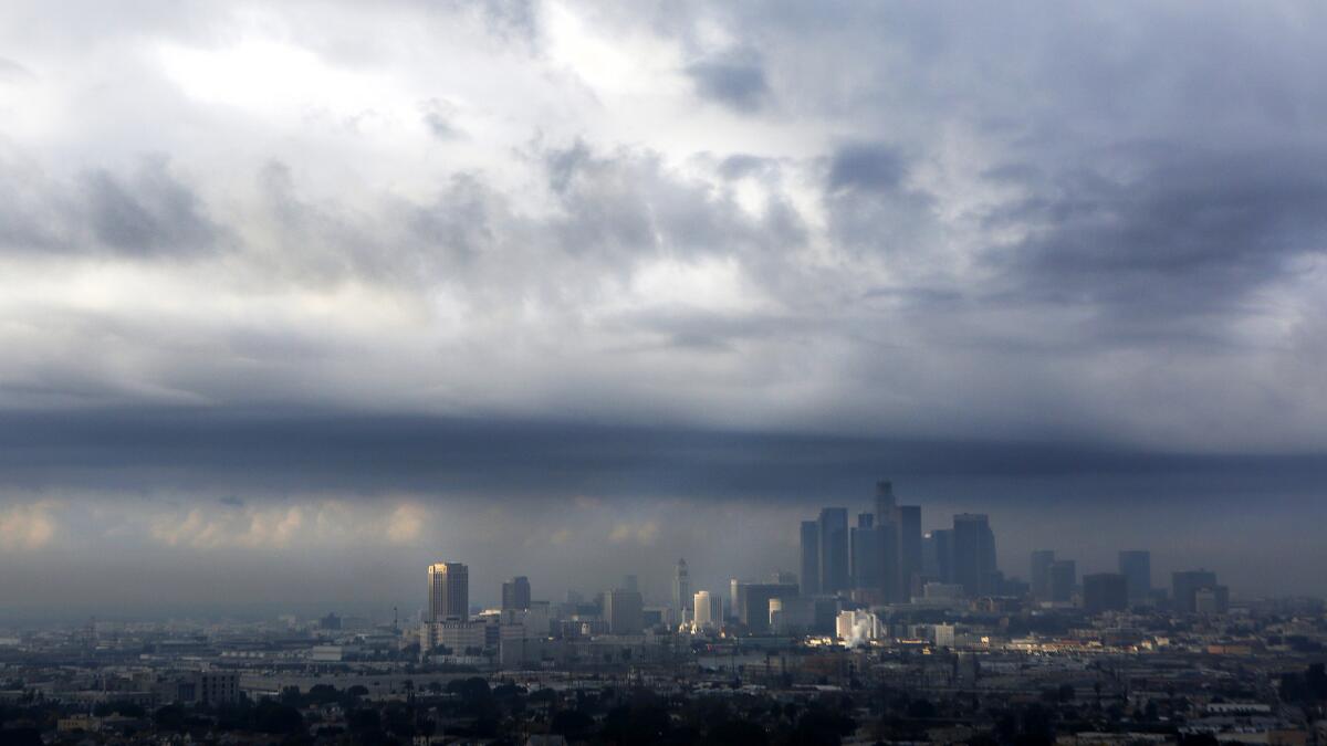
Dangerous lightning and possible waterspouts off the coast could bring hail to parts of Los Angeles and Ventura counties through Friday.
Cold and unstable air will move through San Luis Obispo and Santa Barbara counties Wednesday night, then shift toward Los Angeles and Ventura counties by Thursday afternoon, according to the National Weather Service.
“It’s very unseasonably cold for this time of year,” said Stuart Seto, a weather specialist with the National Weather Service in Oxnard.
Temperatures will be in the low to mid-60s Thursday and Friday. At night, temperatures will drop to the upper 40s to mid-50s.
The air mass could bring a slight chance of thunderstorms with rain, hail, winds and lightning. The tumultuous weather could flare up minor debris and mud flows in areas recently scarred by wildfire. The greatest chance for rain is on Thursday, but it could extend to Friday, the National Weather Service said.
Some areas could get up to a half-inch of rain and snow levels could dip to 5,000 feet.
Thunderstorms and waterspouts are possible over the coast, so forecasters are advising mariners to be prepared for a rocky ocean.
A northwest swell is expected to bring high surf of up to 10 feet along the central coast Thursday morning.
Gusty winds of up to 50 mph will blow across the Antelope Valley on Thursday, increasing the possibility of blowing dust and sand.
Visibility will be reduced to nearly zero along Highways 14 and 138 due to strong crosswinds.
For breaking news in California, follow @VeronicaRochaLA.
More to Read
Sign up for Essential California
The most important California stories and recommendations in your inbox every morning.
You may occasionally receive promotional content from the Los Angeles Times.


