Did the drought contribute to severe flooding in San Jose? Officials search for answers

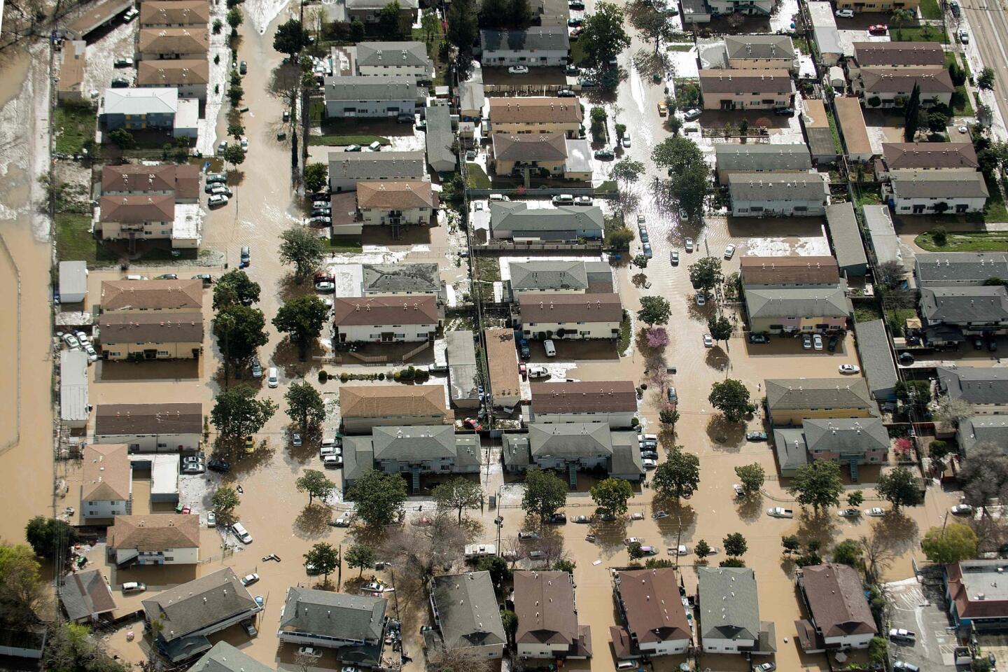
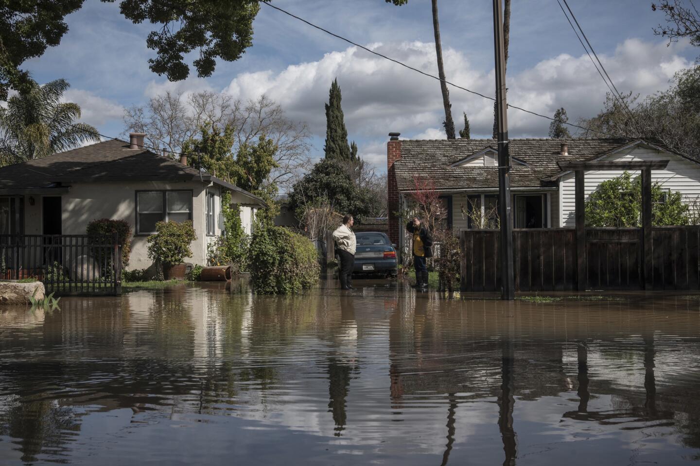
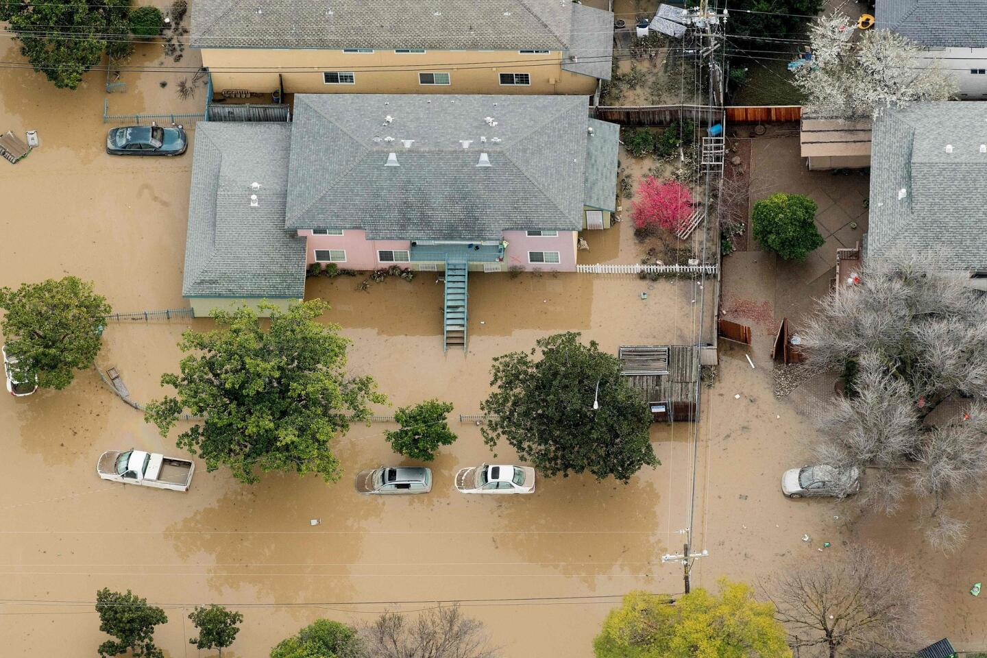
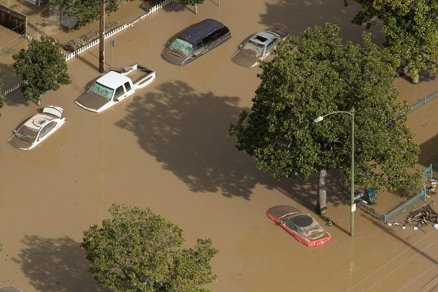
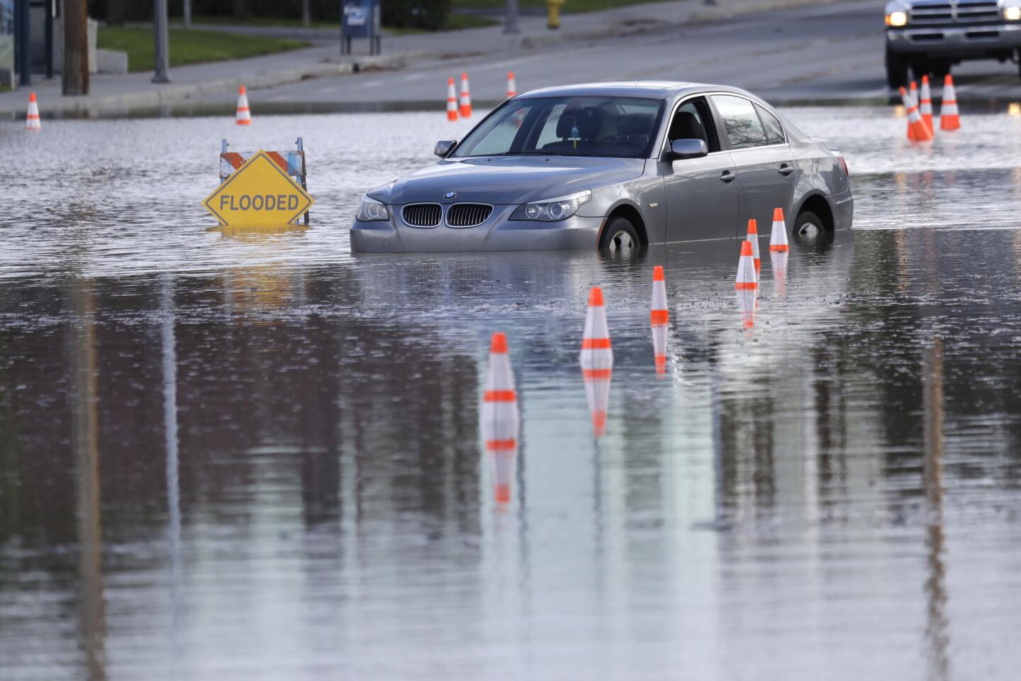
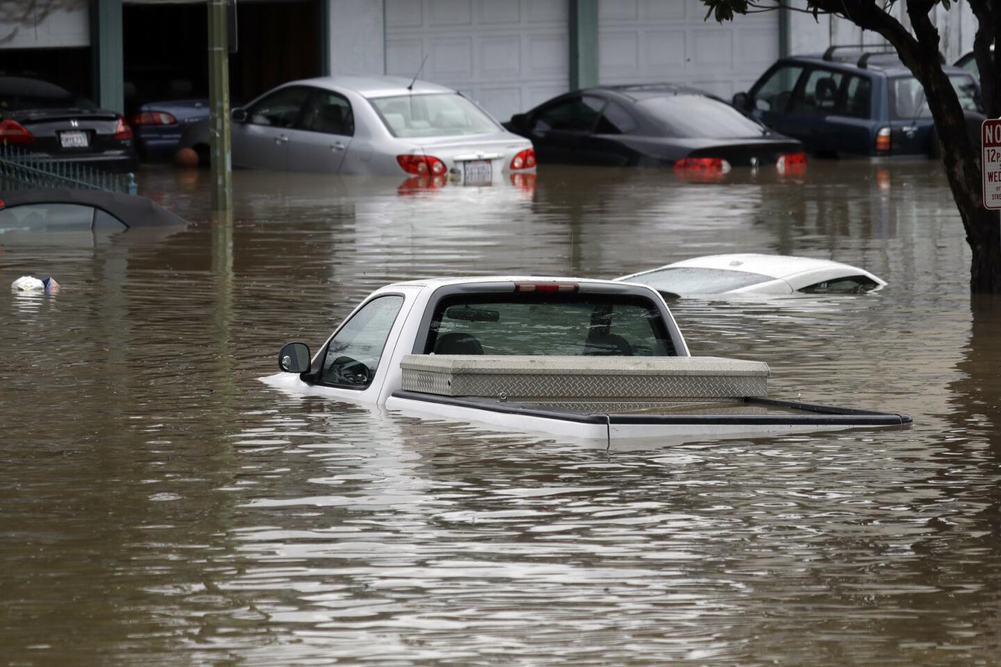
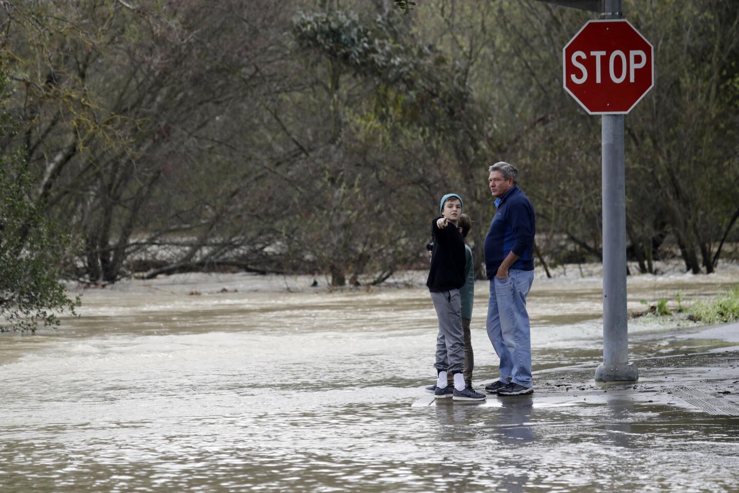
This week, the Coyote Creek swelled to record heights after water from a dam spilled into it, creating widespread flooding in central San Jose.
- Share via
Reporting from San Jose — For five long, drought-plagued winters, Mother Nature refused to refill Coyote Creek. Foliage filled its dry bed, and without regular rains, the vegetation remained in the creek rather than being flushed out to sea.
Then an epic winter of rain hit Northern California, and the dry creek suddenly became wet again. This week, the creek swelled to record heights after water from a dam spilled into it, creating widespread flooding in central San Jose.
Officials acknowledged they badly miscalculated how much flooding would occur, which left residents unprepared for the water that would inundate their neighborhoods.
By Thursday, the hunt was on for answers. Several theories are already gaining traction, including the idea that the debris and vegetation left at the bottom of the creek by years of drought caused water levels to rise farther than officials predicted.
But experts also see larger lessons from the worst flooding in San Jose in a century, which have implications for other parts of California: A robust plan for alerting the public to flood dangers and the need for better coordination among various agencies.
“The most important thing you can have in any flood planning is a very good notification and evacuation system,” said Jeffrey Mount, senior fellow at the Public Policy Institute of California’s Water Policy Center. “It clearly saves lives. … It didn’t work so well in this one.”
Some experts asked whether inaccurate information may have caused officials to miscalculate the capacity of the creek’s channel. Such intense floods are rare, experts said, and can be hard to plan for — even in a flood-prone region such as the Silicon Valley.
“Models are pretty good for cases you have seen before. They break down when you’re trying to guess what will happen in a situation you haven’t ever seen,” said Laura Feinstein, a senior research associate at the Pacific Institute. “The big failure was in the models of how much flow that stream could handle.”
Assistant City Manager David Sykes said late Thursday the city still needs to figure out why the models forecasting flooding on the Coyote Creek were wrong. For instance, at Rock Springs, one of the hardest-hit neighborhoods, the model said that the creek could handle a flow of 7,400 cubic feet of water per second before flooding. But Tuesday, it began to overflow despite receiving water at significantly slower speeds.
“What we need to investigate is: Why did it flood before the volume reached the capacity?” Sykes said.
There was a lot of debris in the creek, he said. But the city hasn’t made any conclusions about whether debris or other factors made the flooding worse than expected.
“The amount of water in the channel was really about a 100-year flow,” Sykes said. “I don’t think we could really expect to be able to clear the creek enough to create capacity for a 100-year flow.”
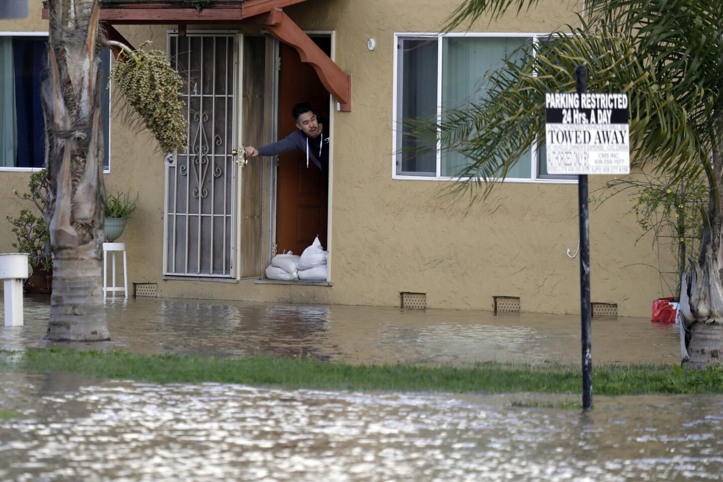
Debating the science behind the disaster was of little consolation to the 3,800 residents who remained under mandatory evacuations Thursday.
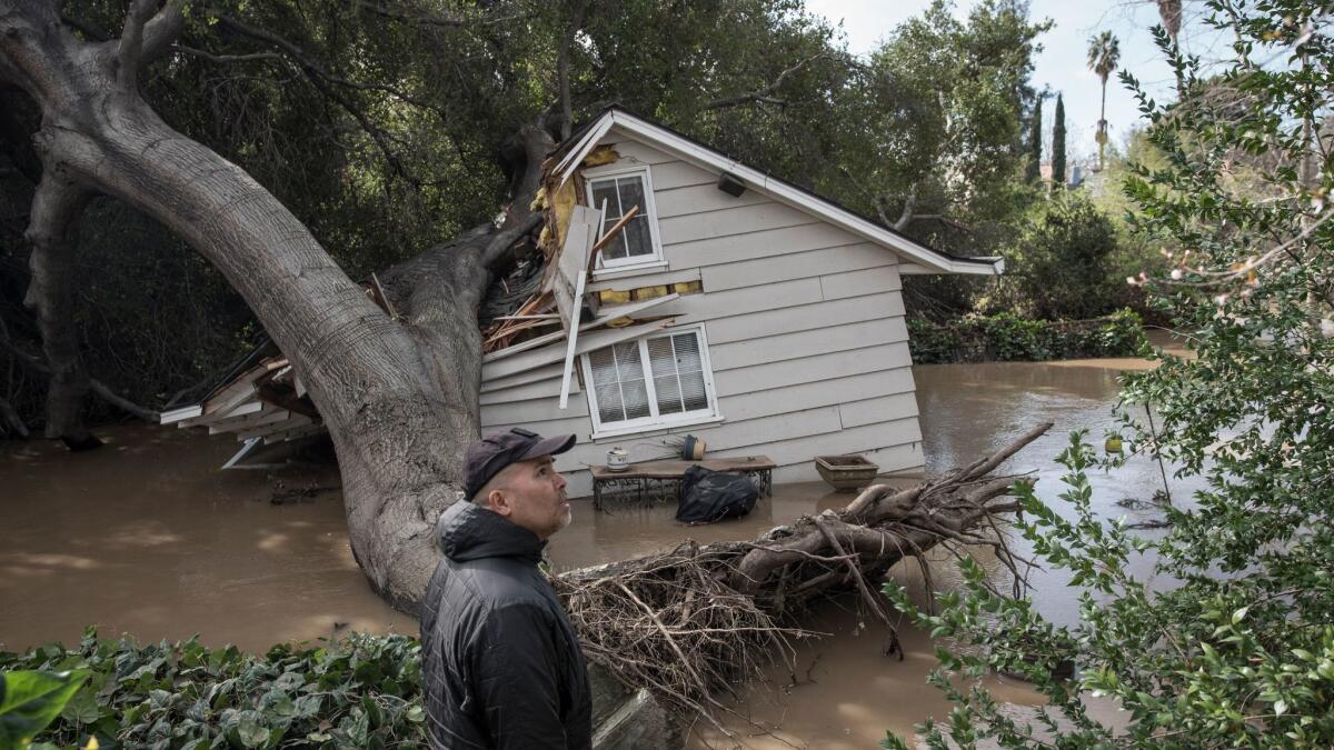
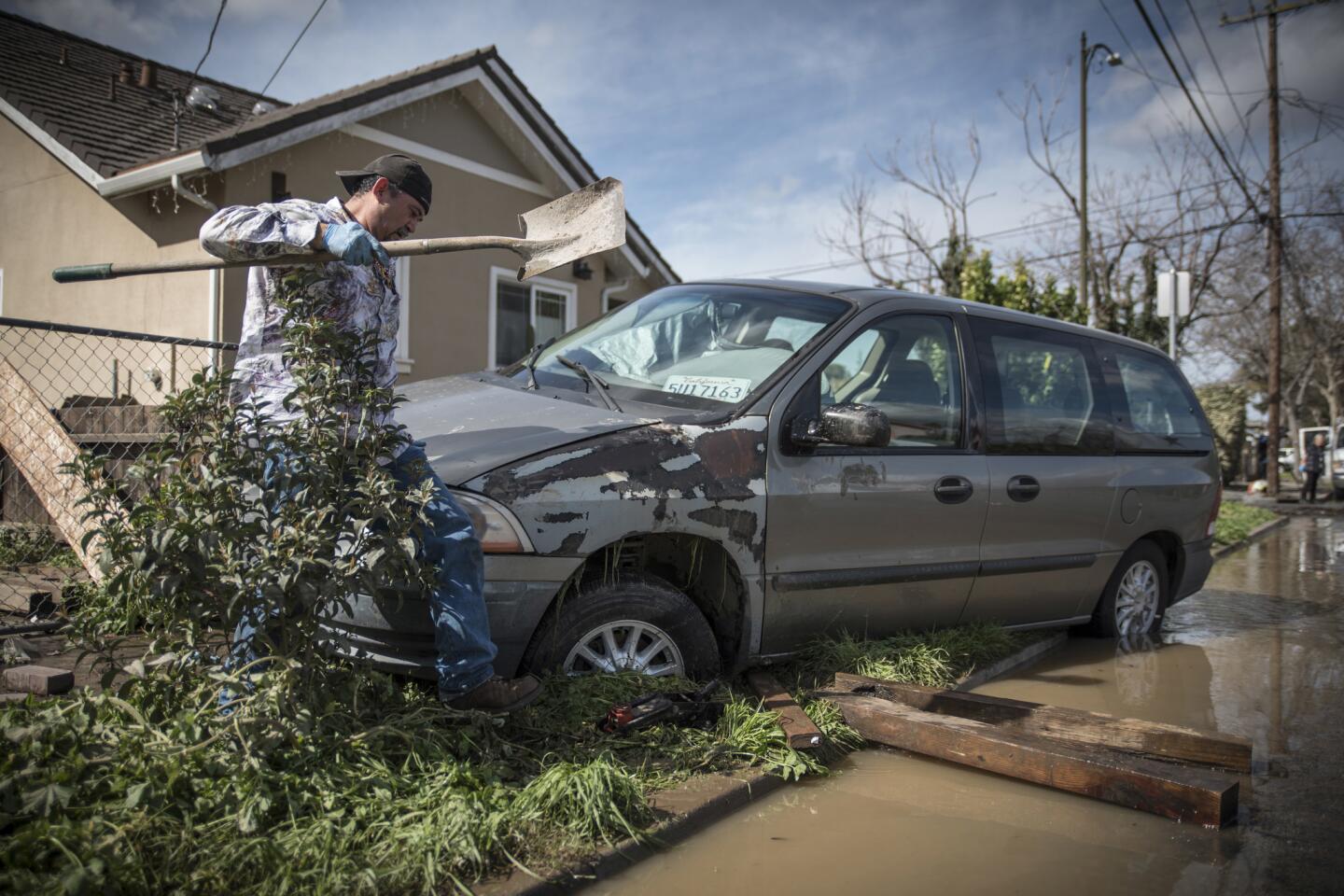
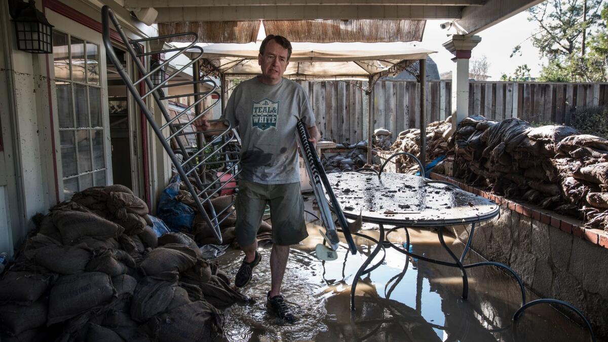
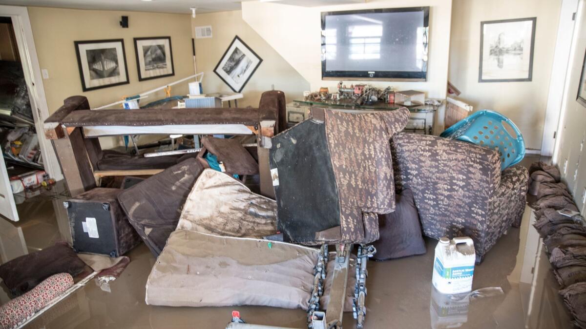
Sykes said he believed some locals wouldn’t be able to ever truly return home because their property had been so badly damaged. He estimated that the cost of destruction would tally several million dollars.
City Councilman Tam Nguyen said at least 350 homes were damaged in his district alone. Some residents in his district typically reside in homeless encampments, he added.
“After Sunday,” he said, “I don’t know where they are going to go.”
The good news was that by Thursday, water had receded into the creek. As a result, officials lifted mandatory evacuation orders for more than 10,000 residents and turned their attention to helping the displaced re-enter their homes.
Meanwhile, city crews were working to pump floodwater out of the Rock Springs area. Sewers there were still out of service, though, so the city was delivering portable toilets to the neighborhood as a temporary fix.
Half a dozen roads also remained closed as of Thursday morning.
With more rain on tap for the weekend, Sykes pledged that city officials would be “keeping a very close eye on the creek.”
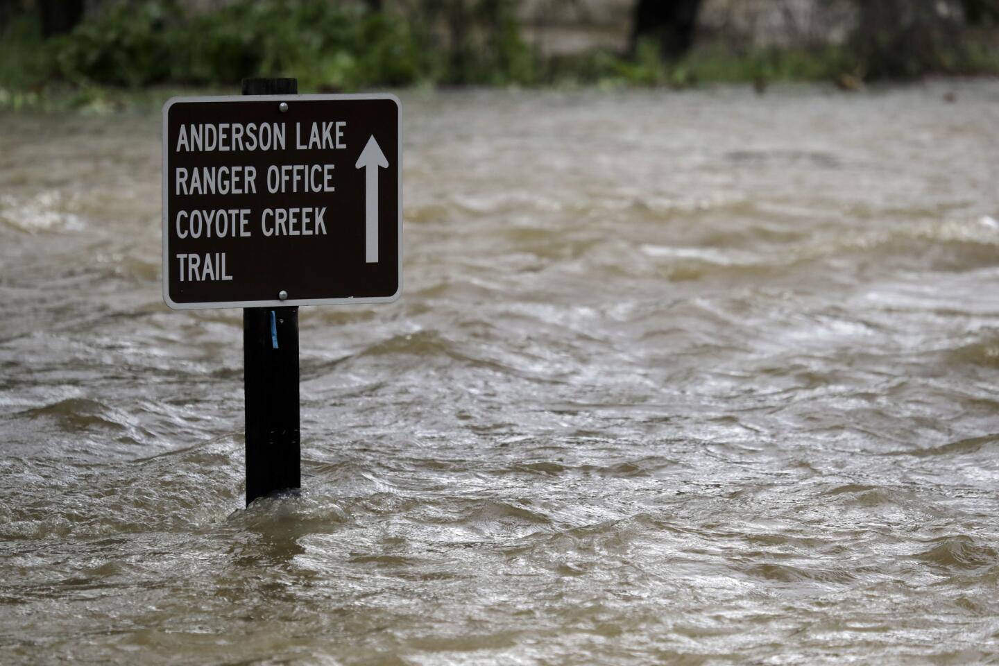
The trouble began Saturday, when Santa Clara County’s largest reservoir reached its capacity and water began flowing down its spillway. Another round of heavy rain exacerbated the situation Sunday night and Monday morning, boosting the flows from Anderson Reservoir into Coyote Creek.
The National Weather Service issued two flood warnings before water started pouring into San Jose homes on Tuesday. The first came Monday before 4 a.m., the second about 17 hours later.
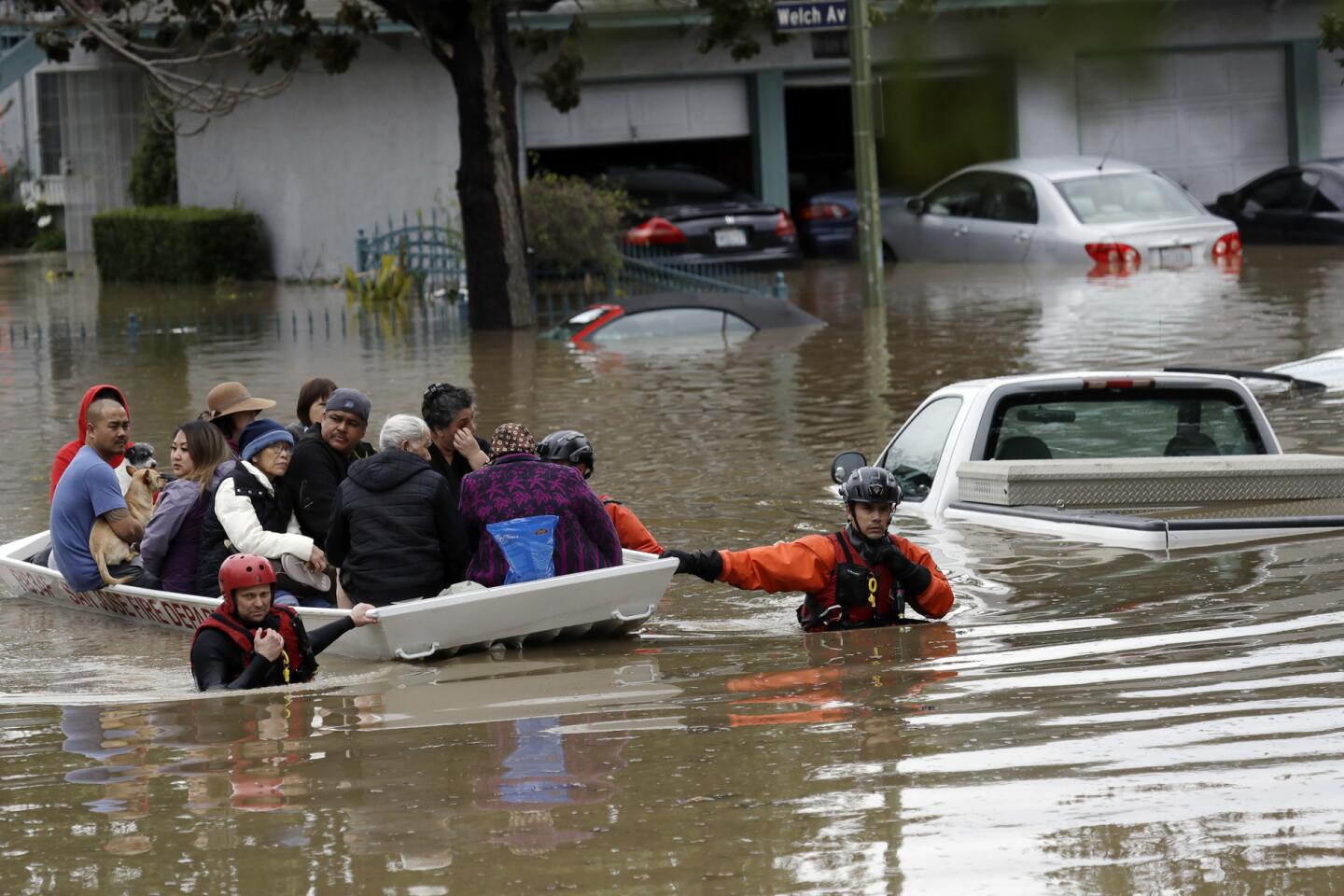
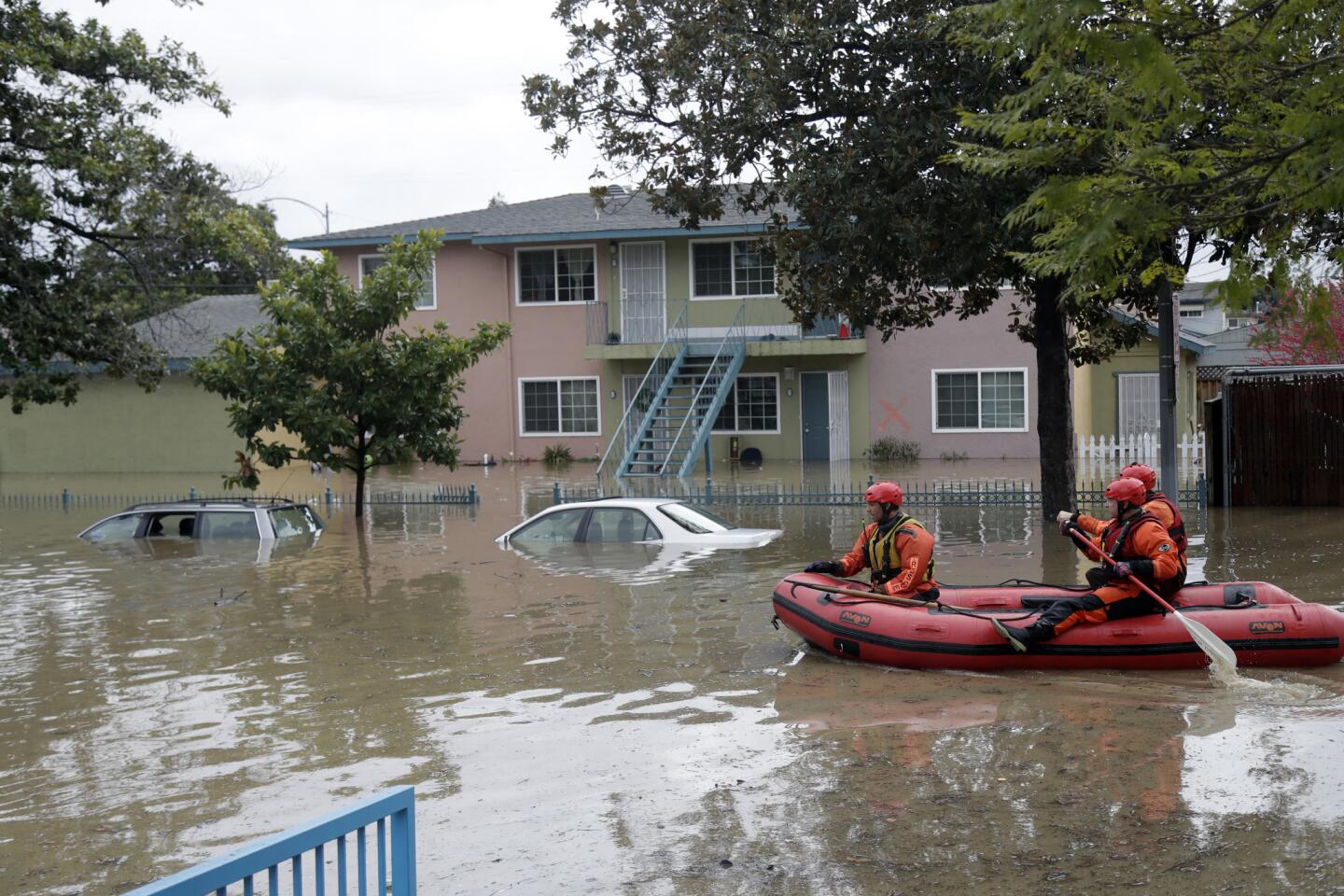
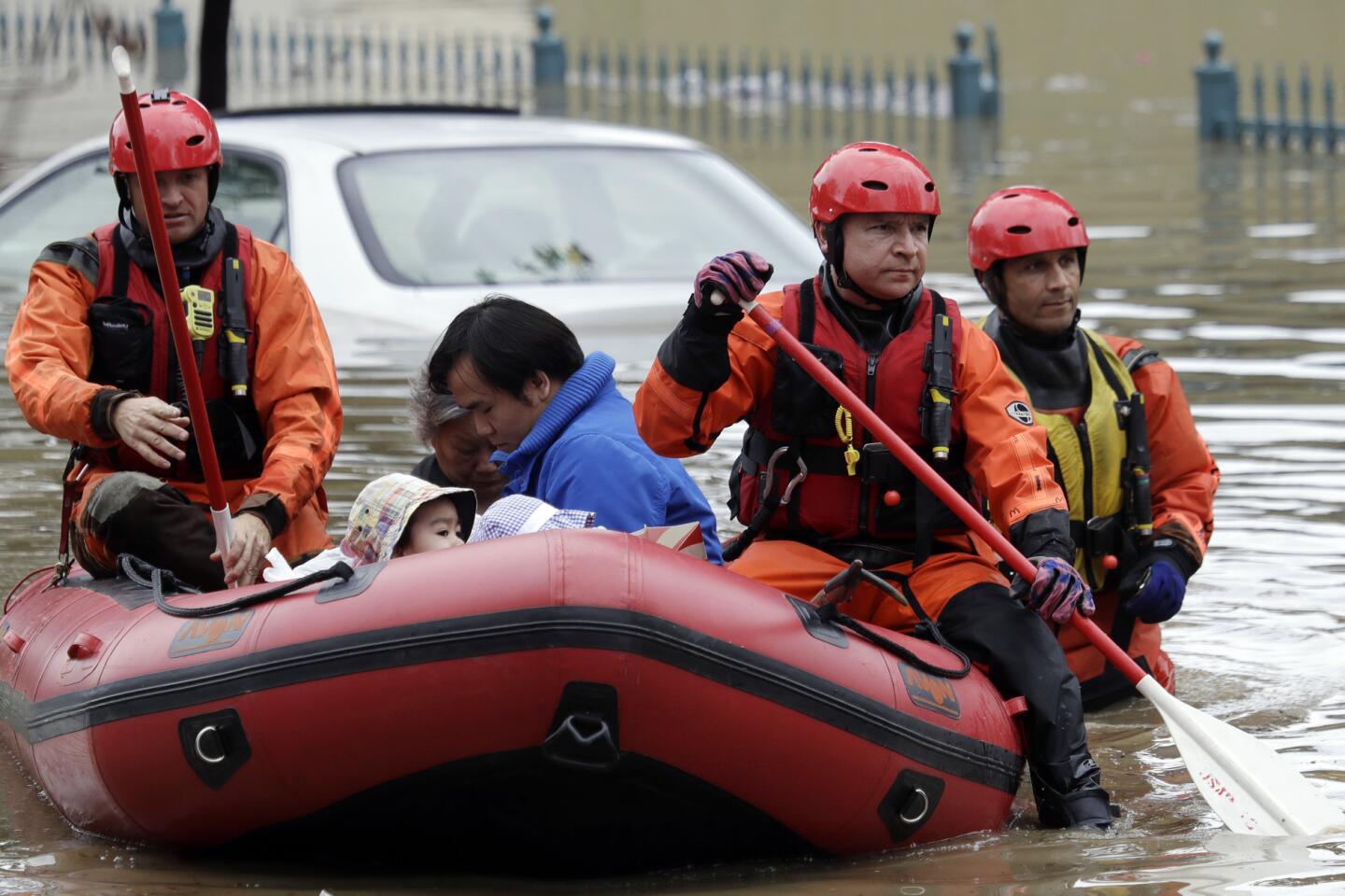
But some San Jose residents in one of the worst-hit neighborhoods, in the William Street area, said they received no warning from the city via cellphone alerts and no local authorities came knocking before floodwaters started rising. By that point, firefighters had to paddle on rafts and wade through a chest-deep deluge to rescue hundreds of residents trapped in homes.
From an administrative standpoint, “you would like to think they would have sort of an annual drill,” said Jay Lund, director of the UC Davis Center for Watershed Sciences.
“I’m sure a lot of people are surprised [by the flooding], but the public works people, it’s their job to know these things,” Lund said. “This is not a new area of flooding. … I’d like to think the agencies involved are going to do some postmortem on this to figure it out.”
Still, scientists were stunned by just how much the creek surged. It crested to a height of 13.6 feet at a South San Jose river gauge point on Tuesday evening — nearly 4 feet above flood stage, and breaking a flood record last set in 1922. On Thursday, U.S. Geological Survey officials said the force of the floodwater was so powerful it even destroyed some of the agency’s equipment at another gauge further downstream in Milpitas, close to where the creek empties into San Francisco Bay.
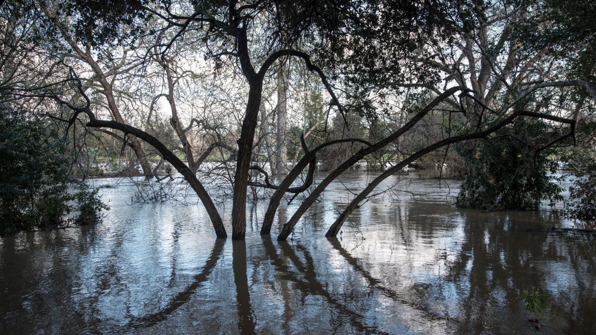
According to the Milpitas gauge that has monitored the creek since 1991, the highest the creek had previously ever reached there was 13.1 feet. This week’s flood sent it to 18.1 feet.
Also impressive was how fast the water flowed through Milpitas — at 8,400 cubic feet per second this week, more than triple the record of 2,500 cubic feet per second set in 2000.
The San Jose flood should serve as a warning for other cities, experts said. Agencies across the state may need to update their flood plans and reassess their levee and flood control systems, they said. And cities should also be aware that the drought may have caused local creek beds to become choked by vegetation — just like Coyote Creek.
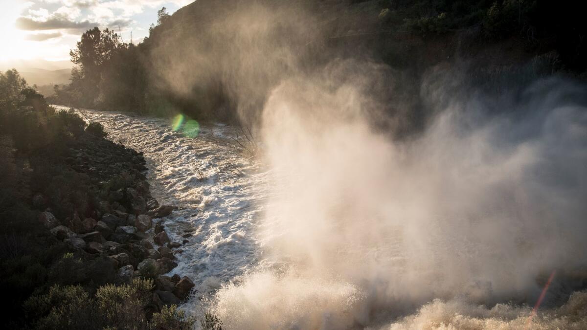
After he took flow measurements near the mouth of the creek Thursday morning in Milpitas, Anthony Guerriero, a hydrologic technician with the U.S. Geological Survey, spoke whimsically about the parts of nature man cannot control.
“Rivers and streams are dynamic and changing. They’re almost like living beasts,” Guerriero said. “The sediment comes and goes, the vegetation comes and goes over time. All of that displaces the water.”
And displaced water, he pointed out, can lead to flooding.
Lin reported from San Jose, and Rocha and Stevens from Los Angeles.
ALSO
Flooded California town fights to keep its only restaurant
Most of California is out of the drought
Shasta Dam makes history as water flows from top gates for first time in 20 years
UPDATES:
9:50 p.m.: This story was updated with numbers about how fast Coyote Creek water flowed through Milpitas this week.
8 p.m.: This story was updated throughout with a new approach.
This story was first published at 4:24 p.m.
More to Read
Sign up for Essential California
The most important California stories and recommendations in your inbox every morning.
You may occasionally receive promotional content from the Los Angeles Times.
