Intense Santa Ana winds returned, but not as bad as firefighters had feared
- Share via
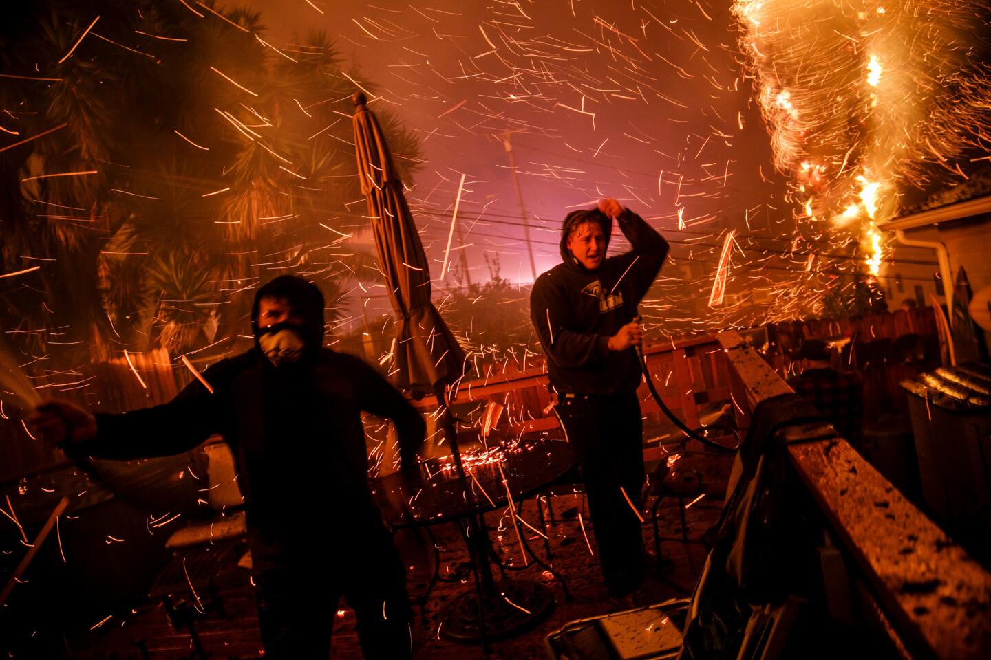
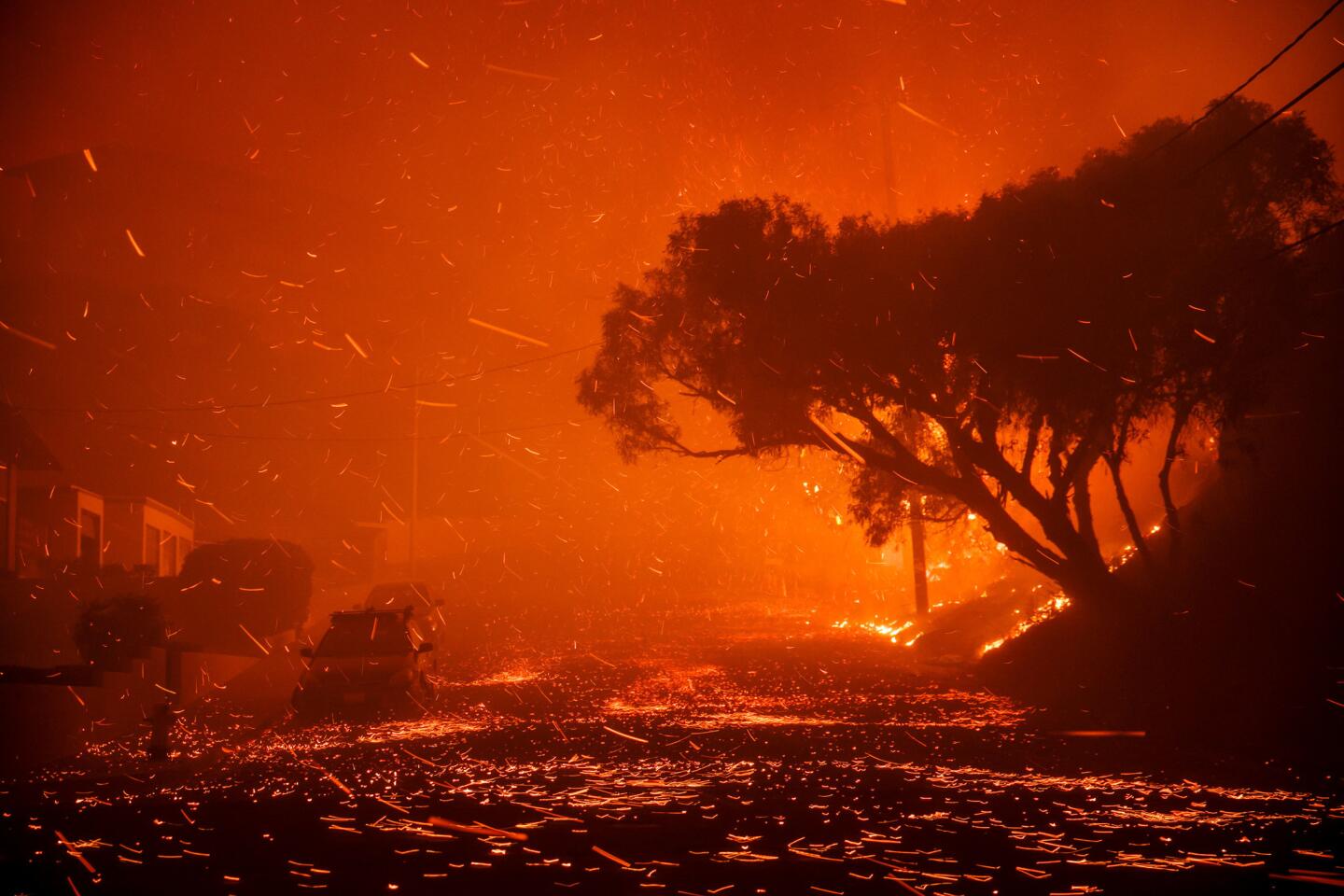
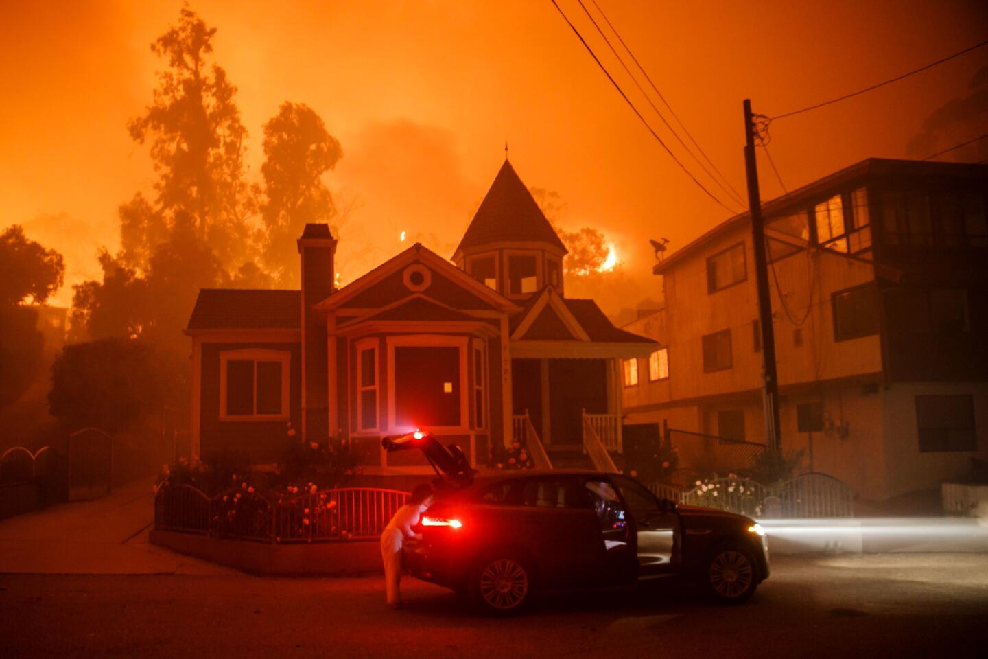
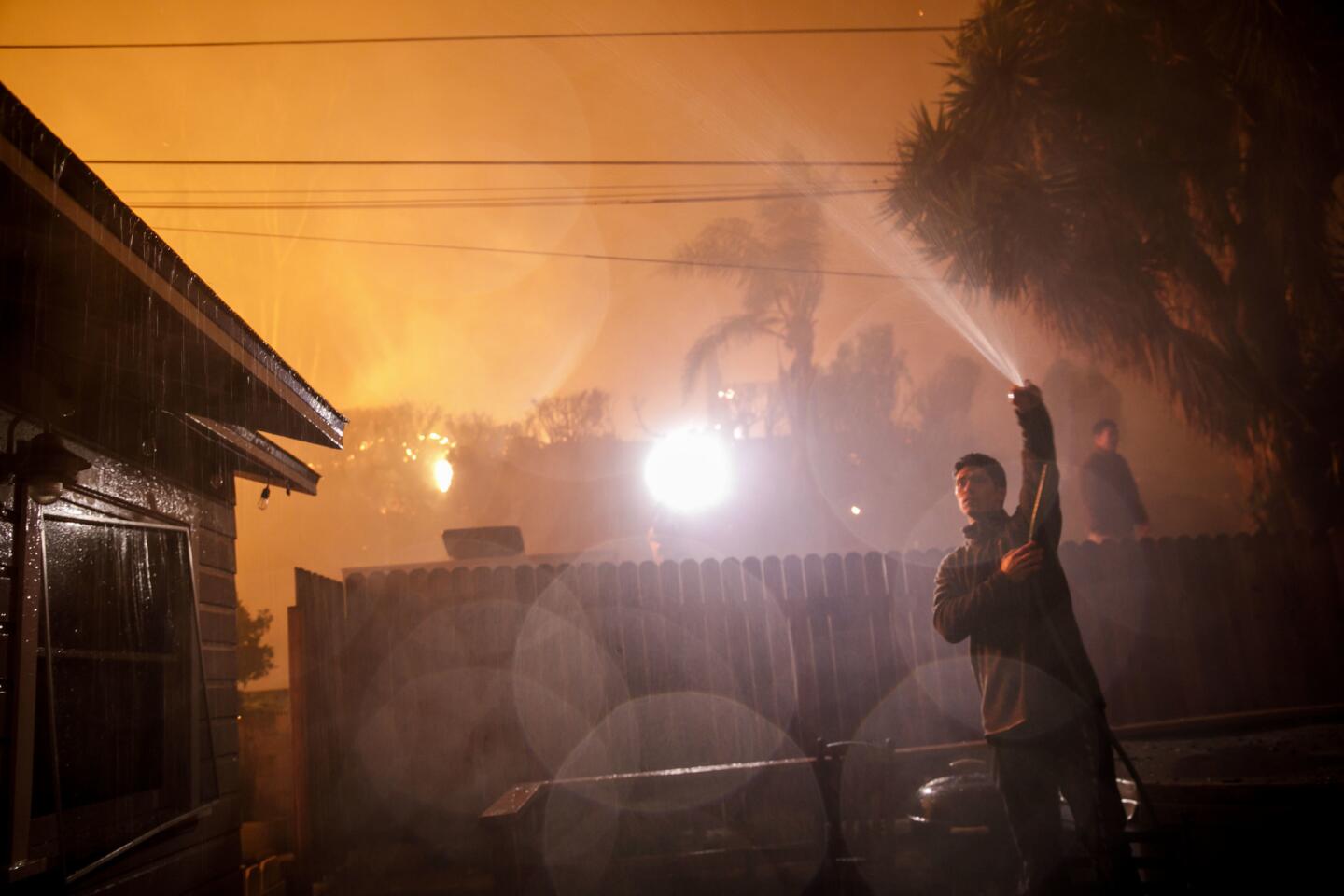
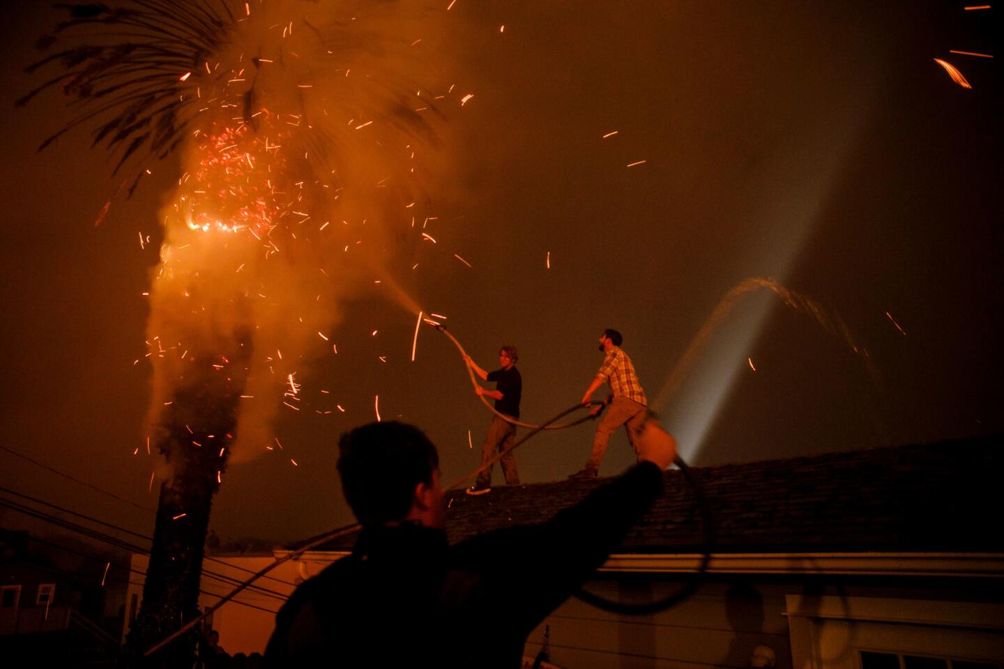
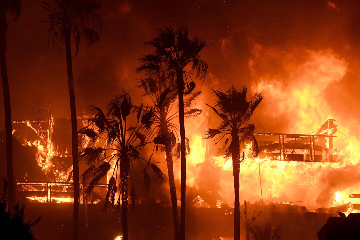
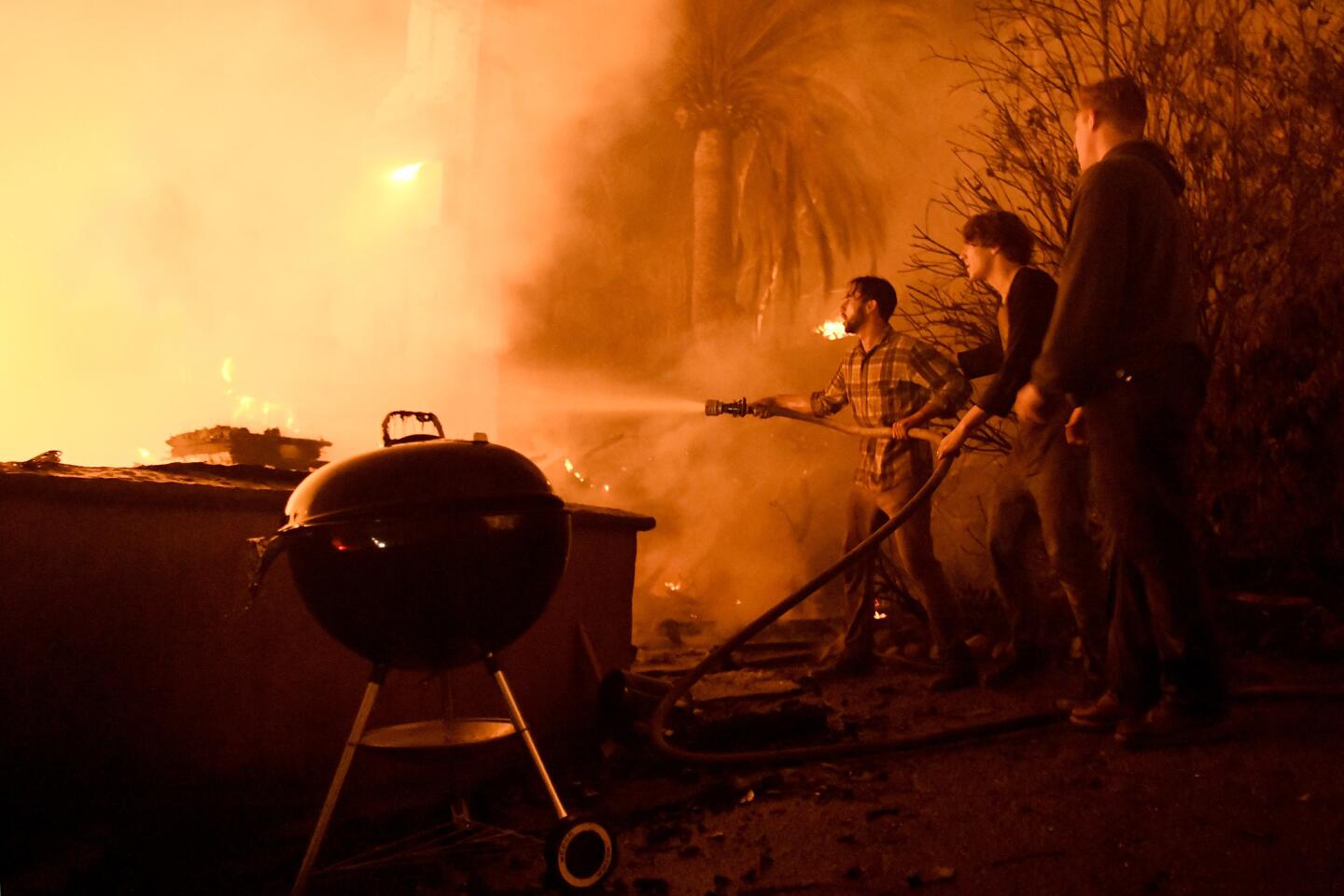
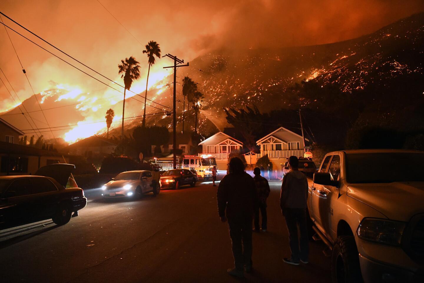
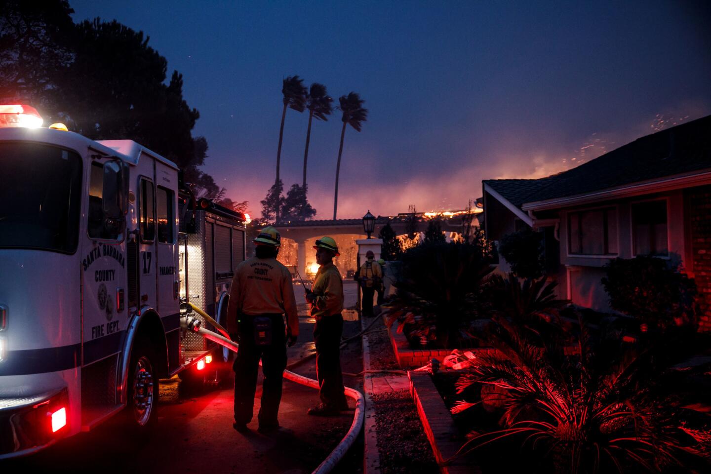
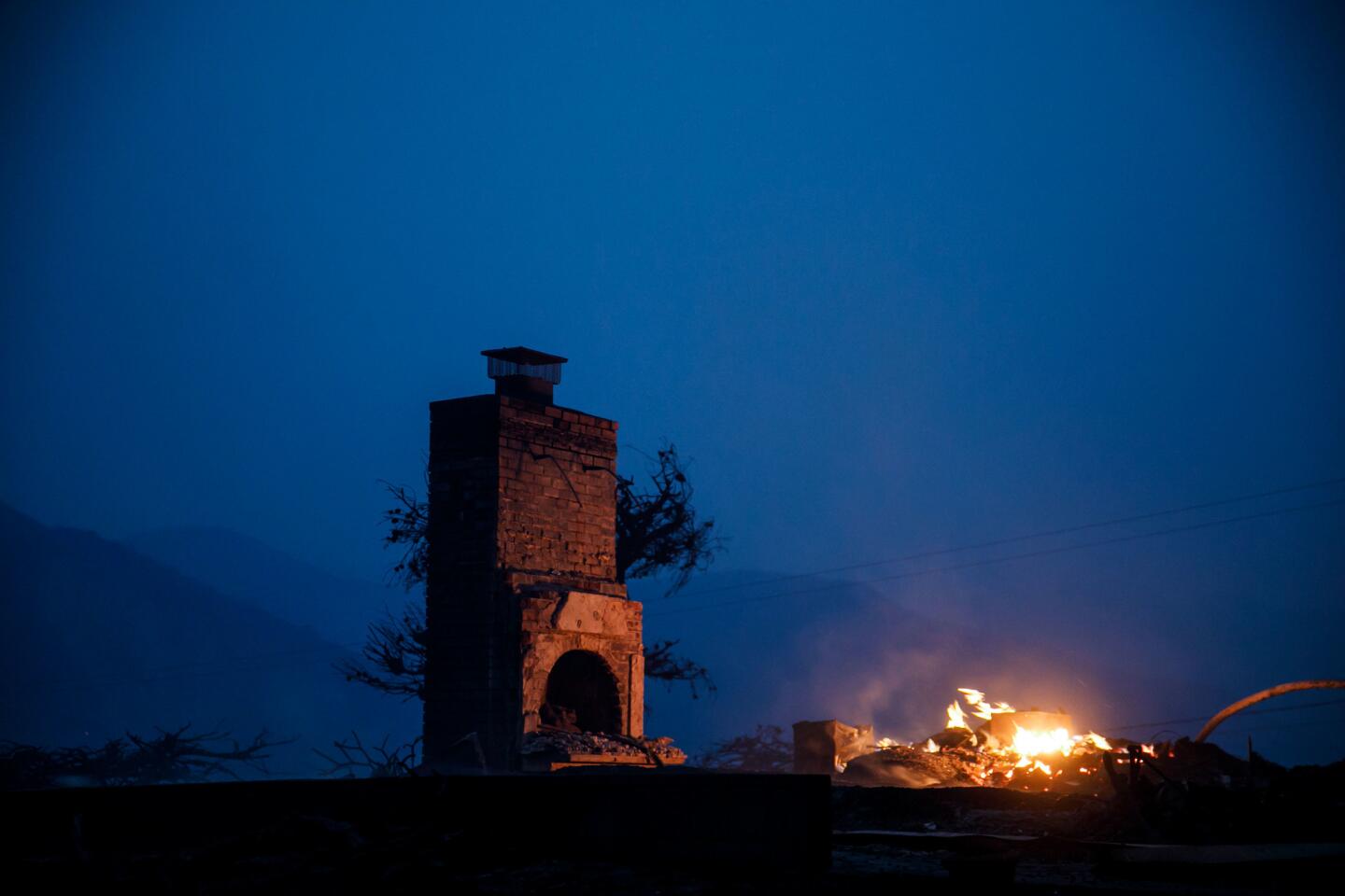
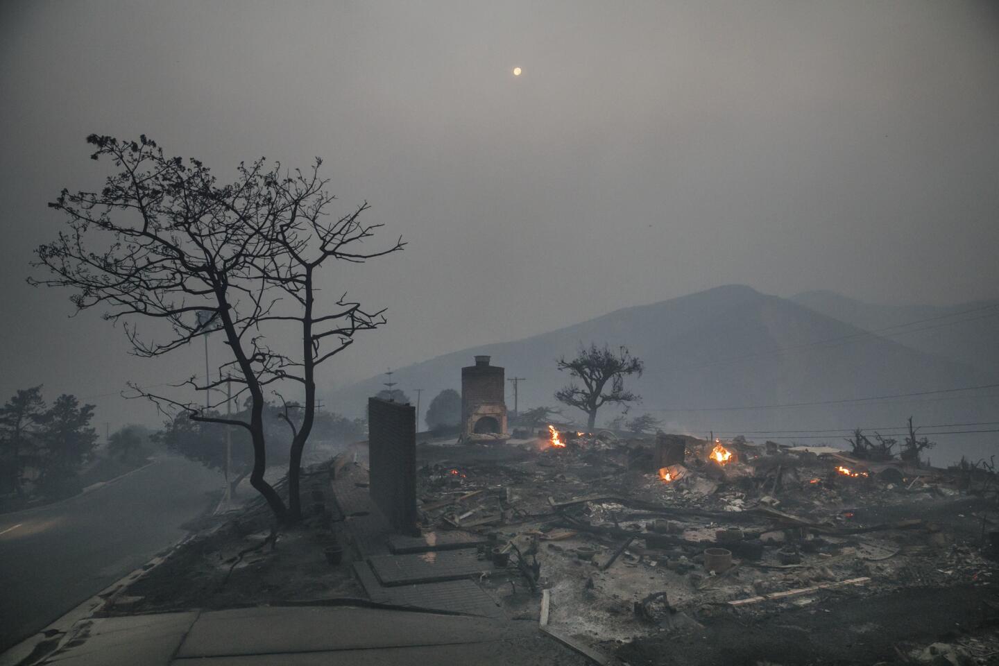
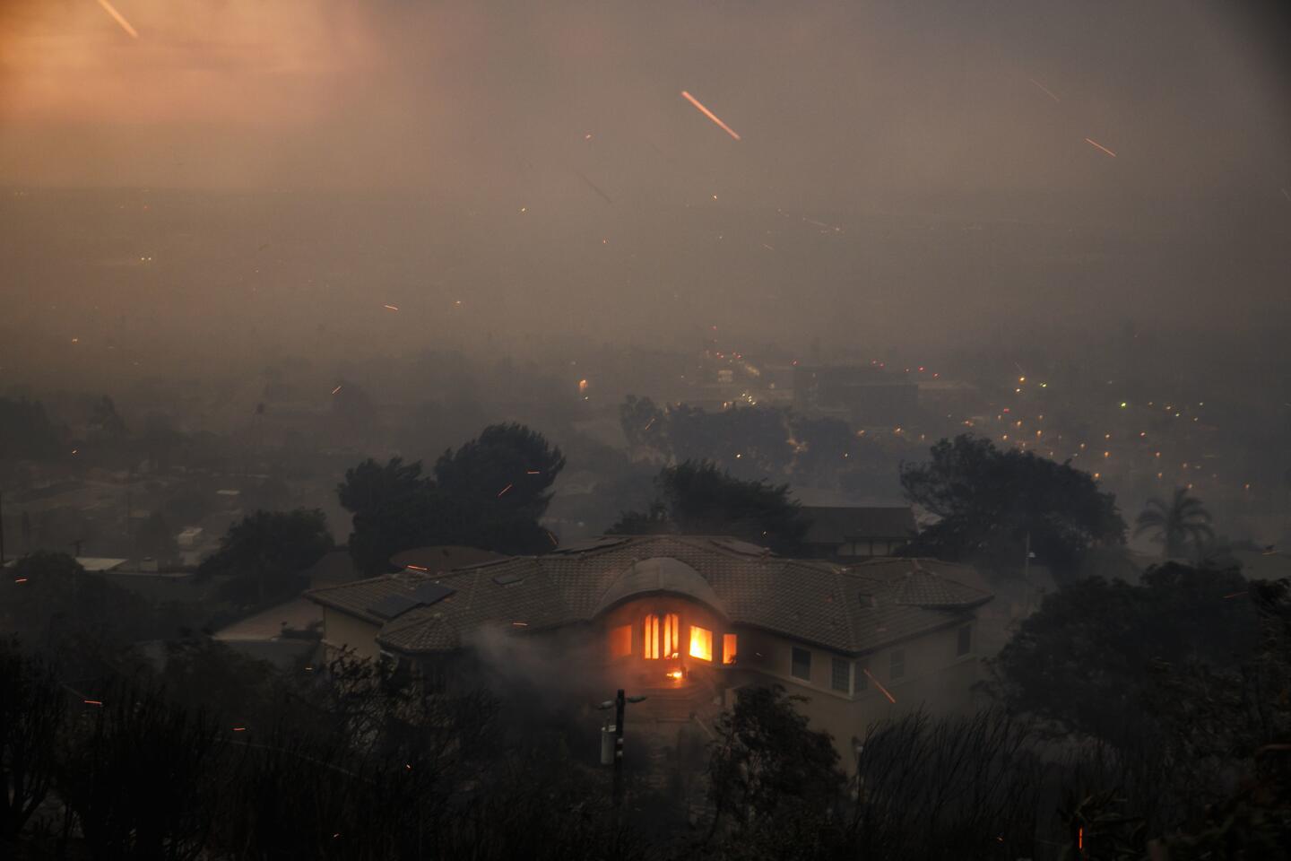
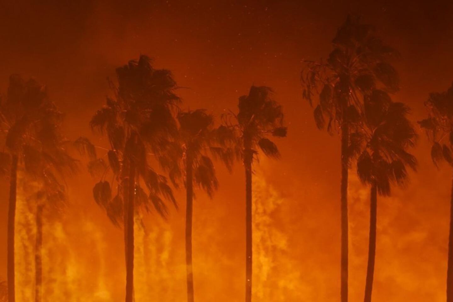
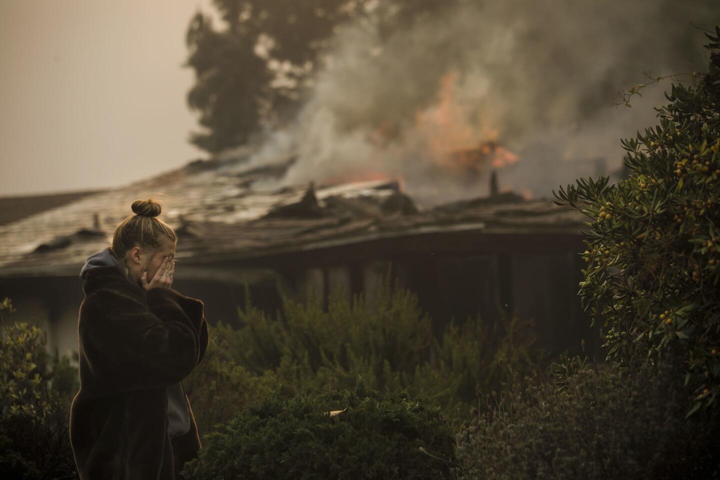
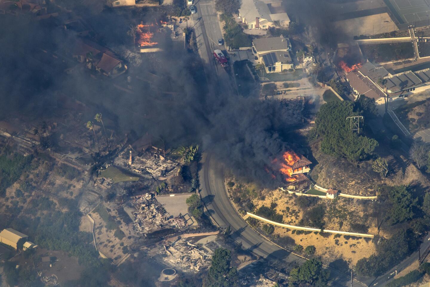
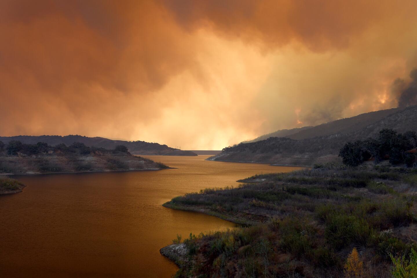
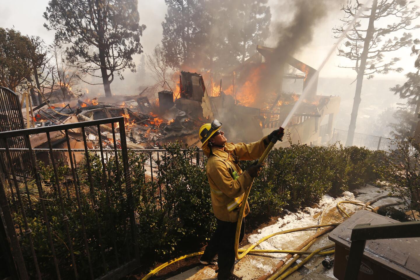
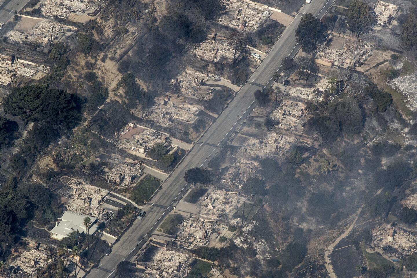
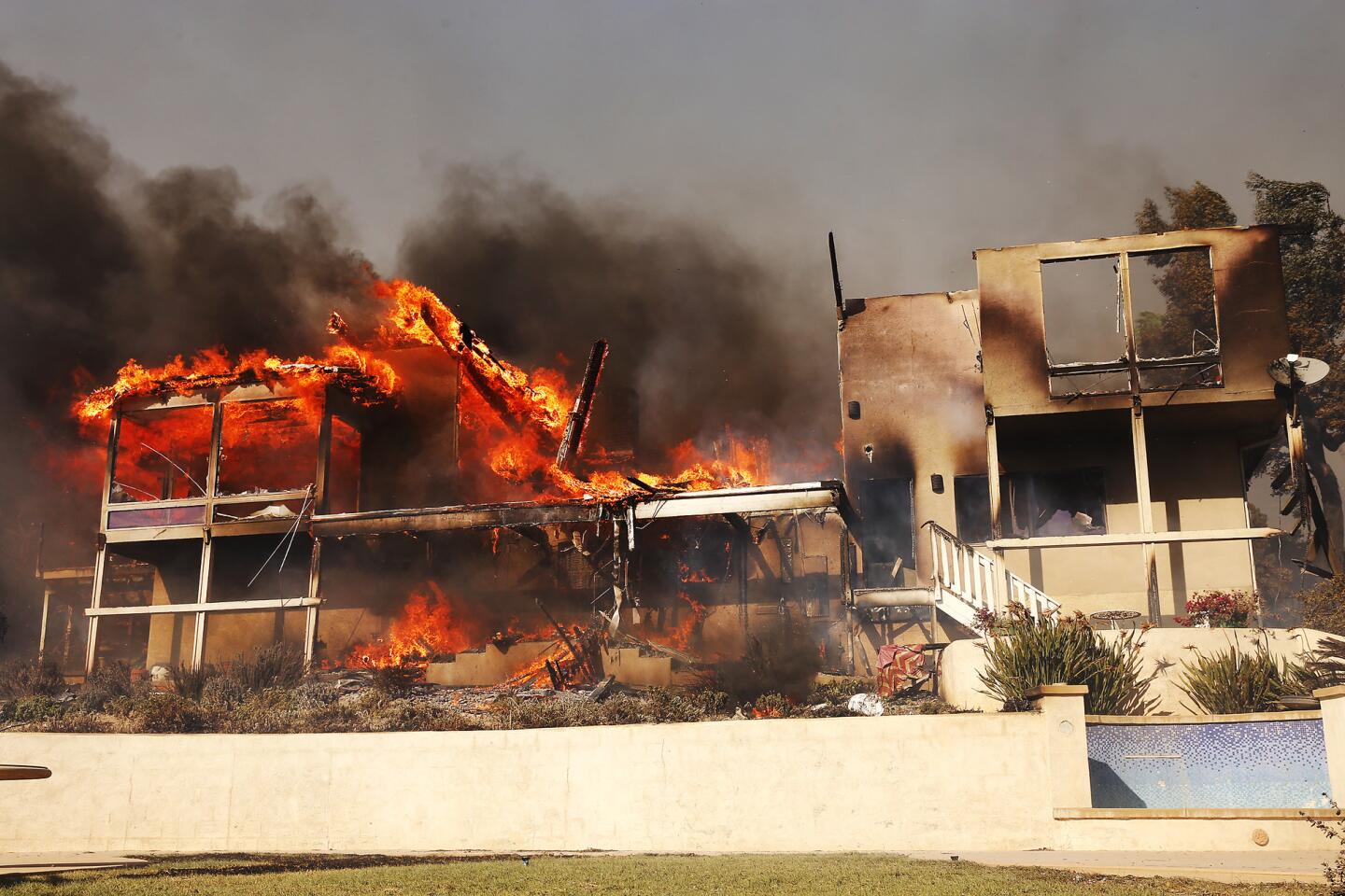
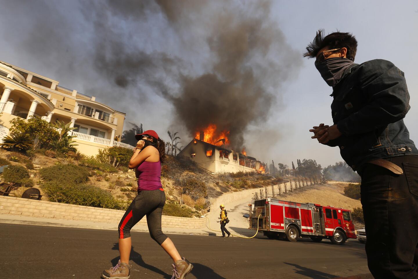
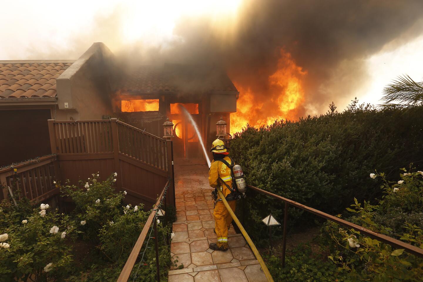
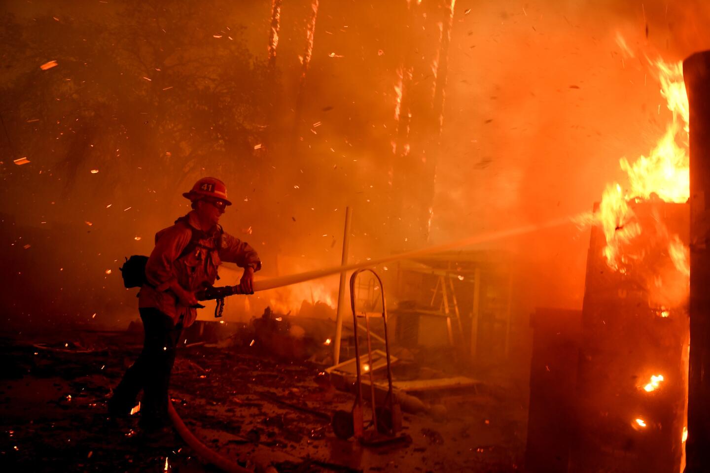
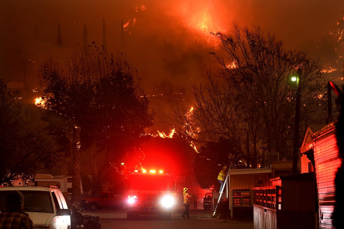
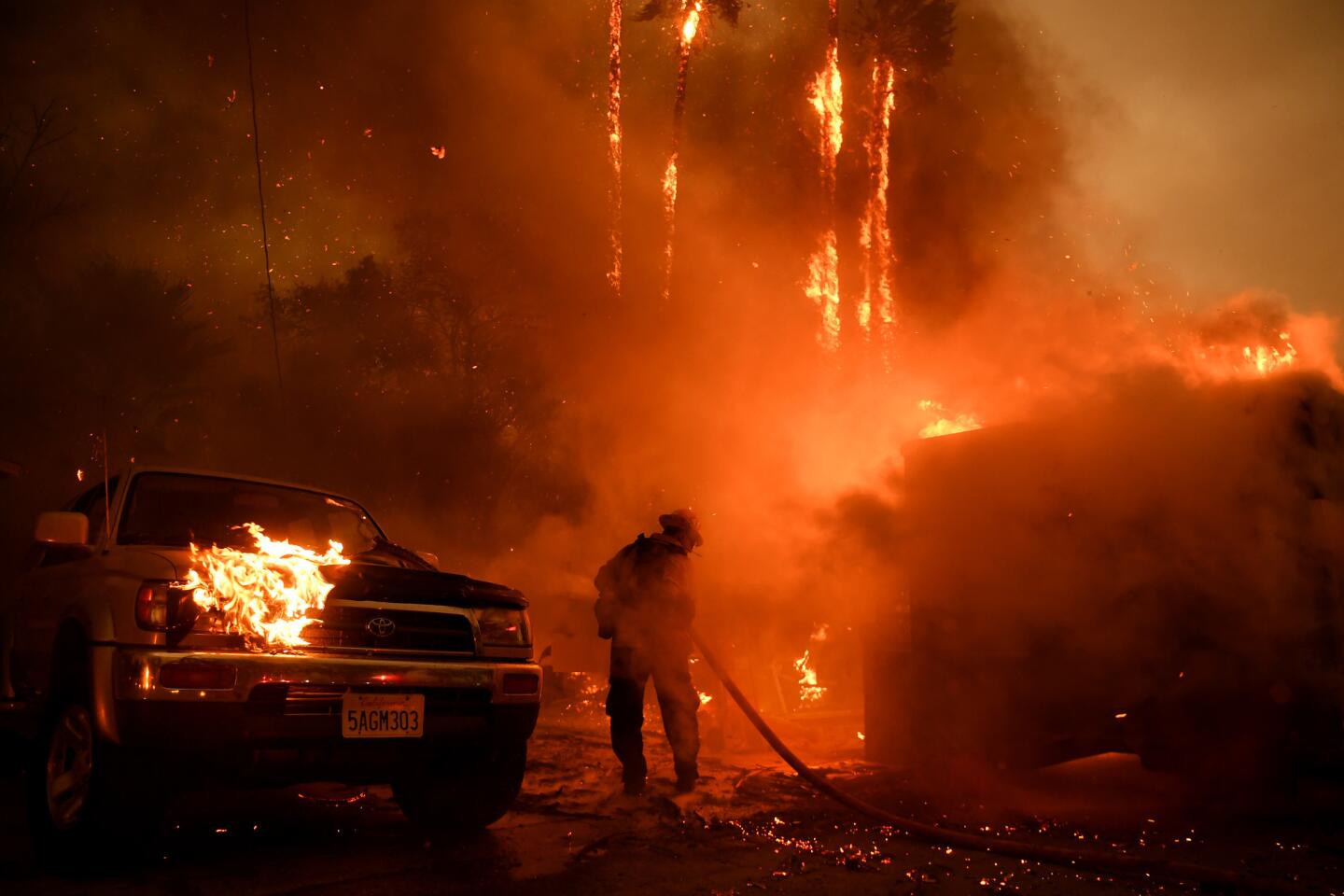
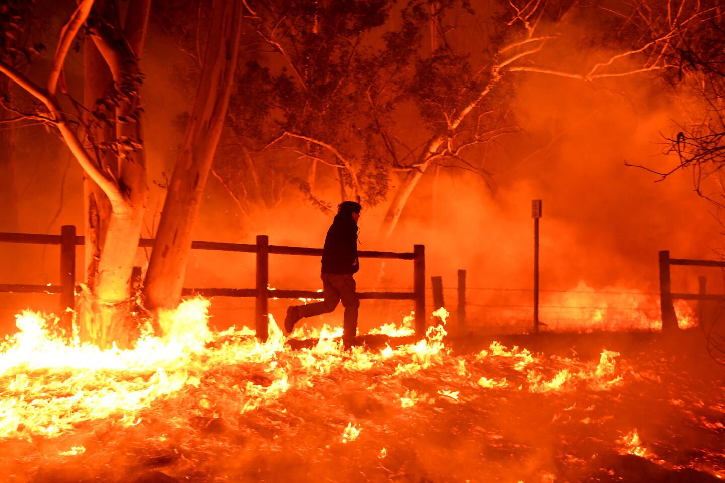
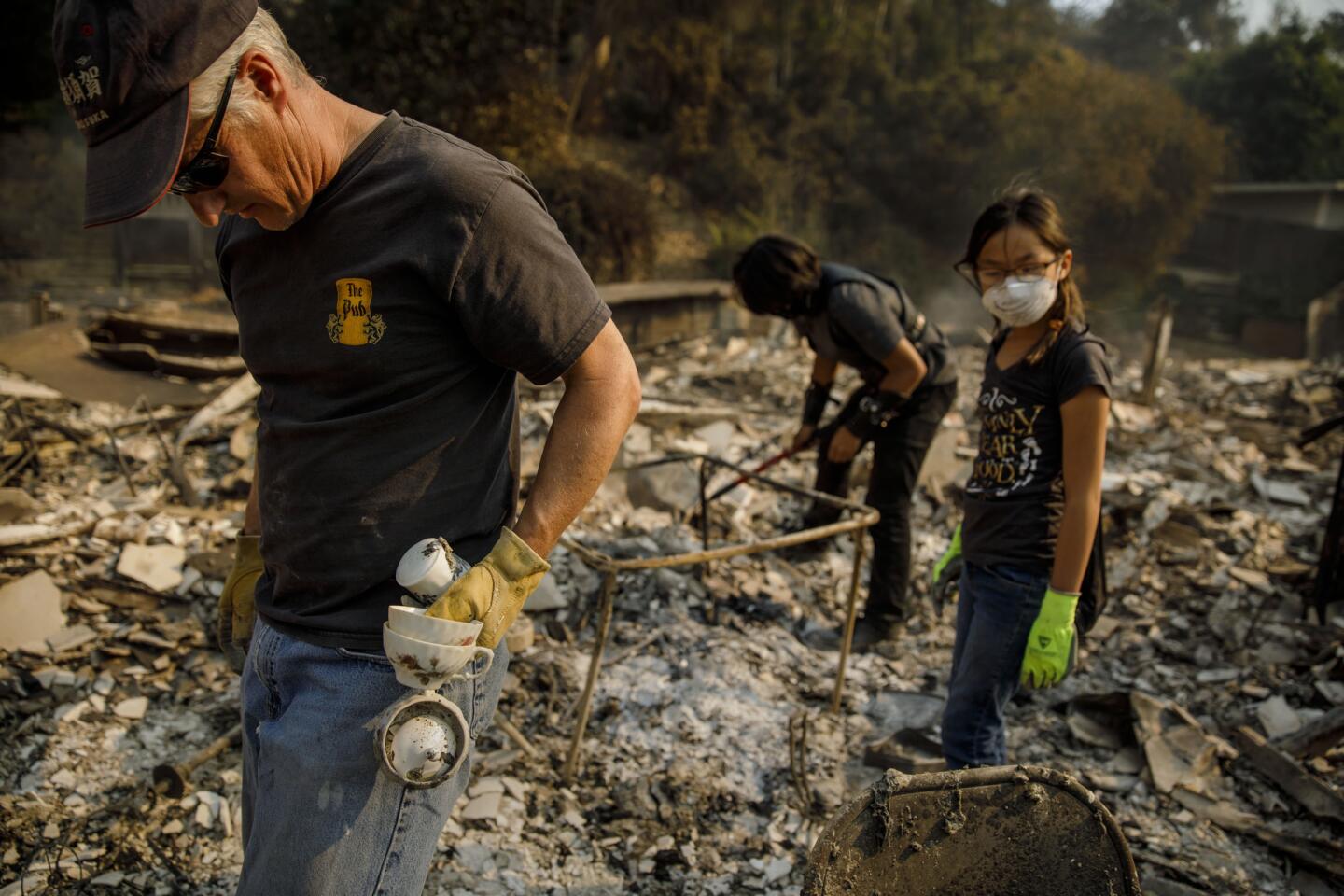
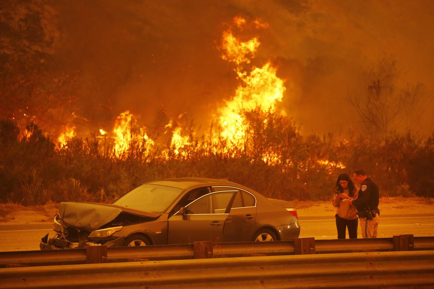
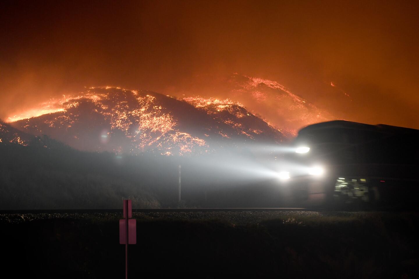
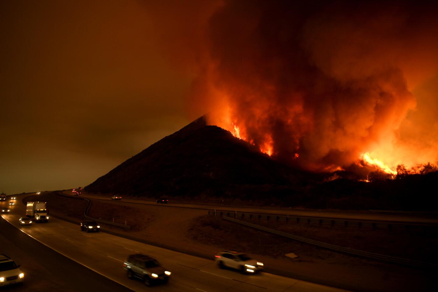
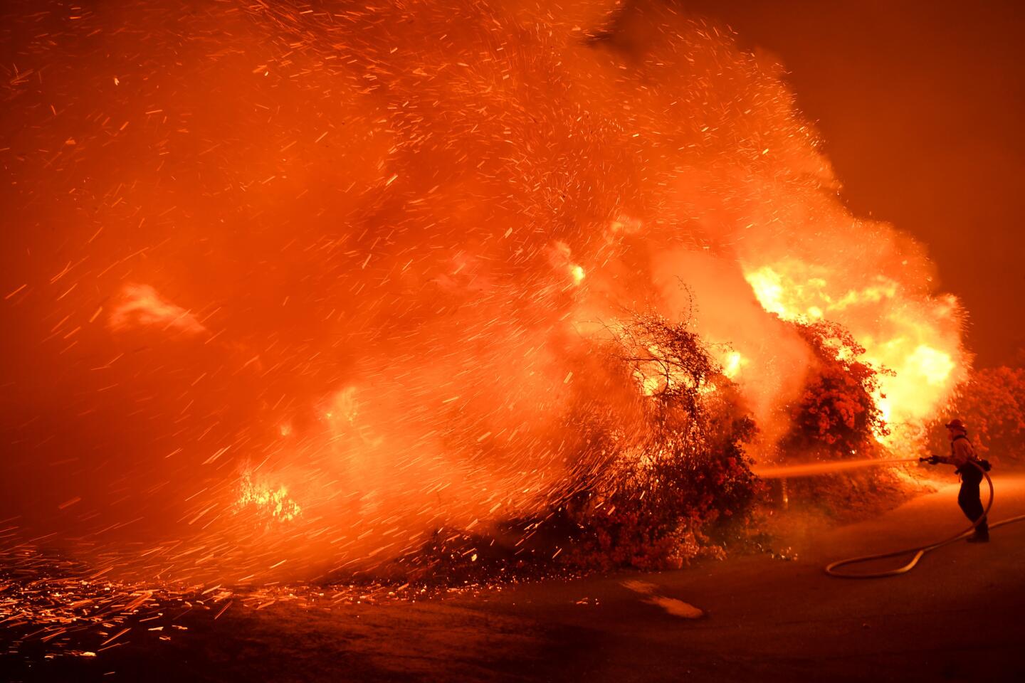
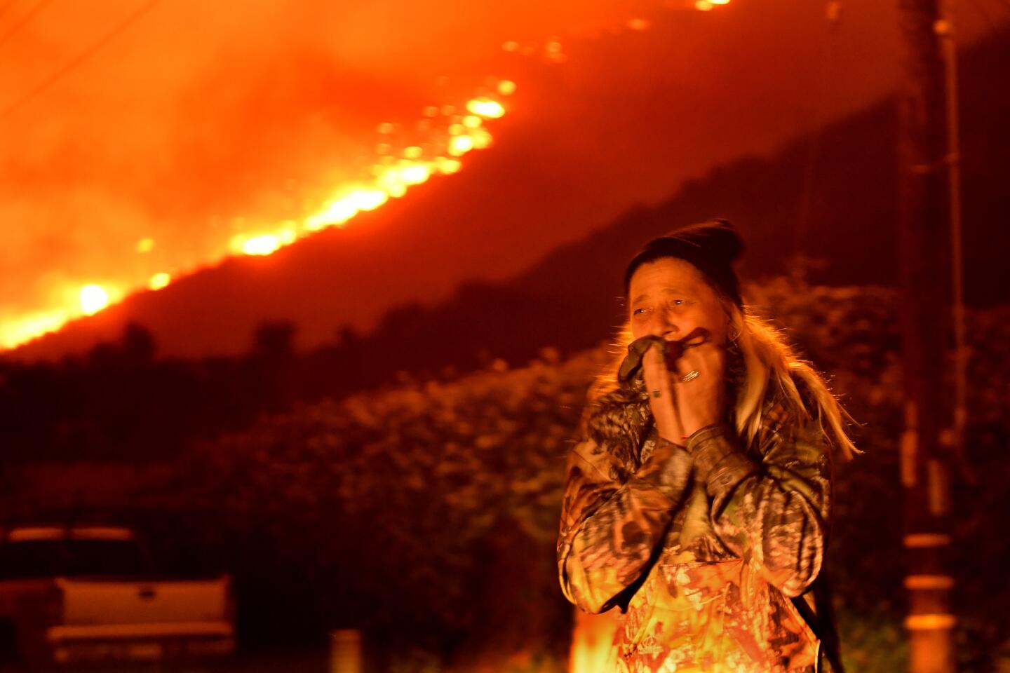
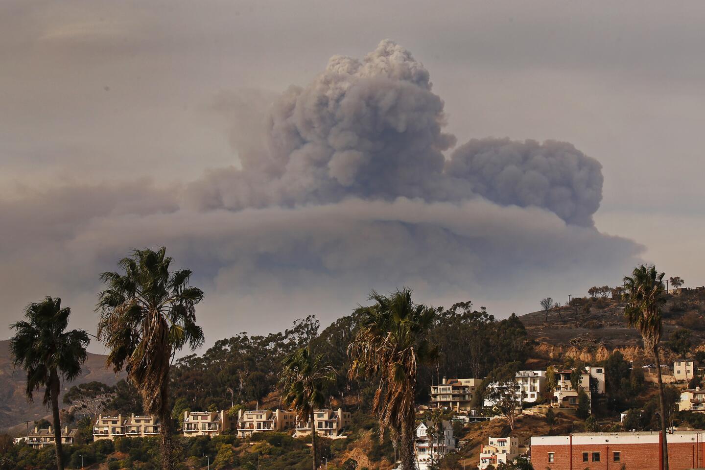
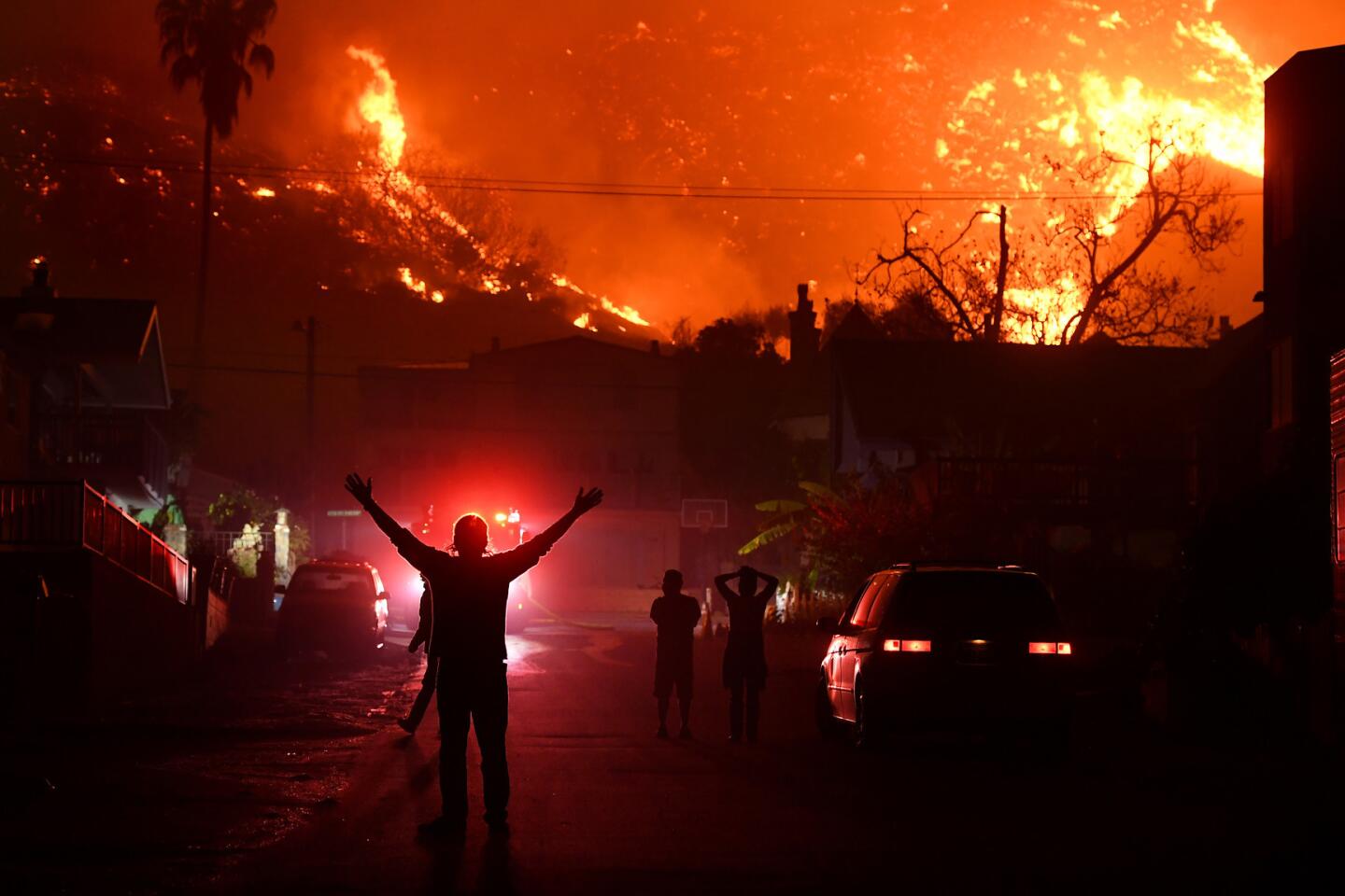
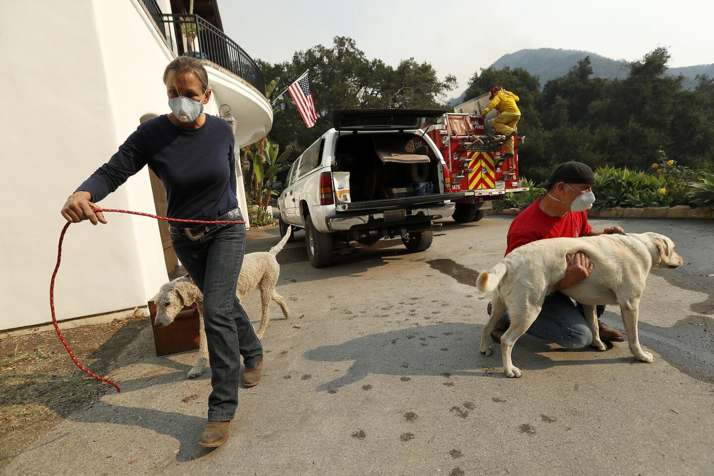
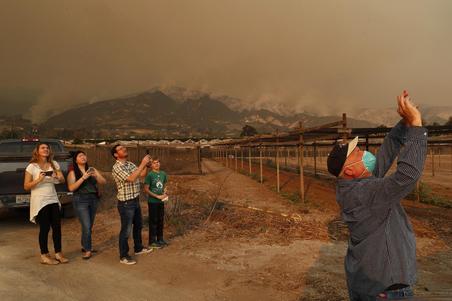
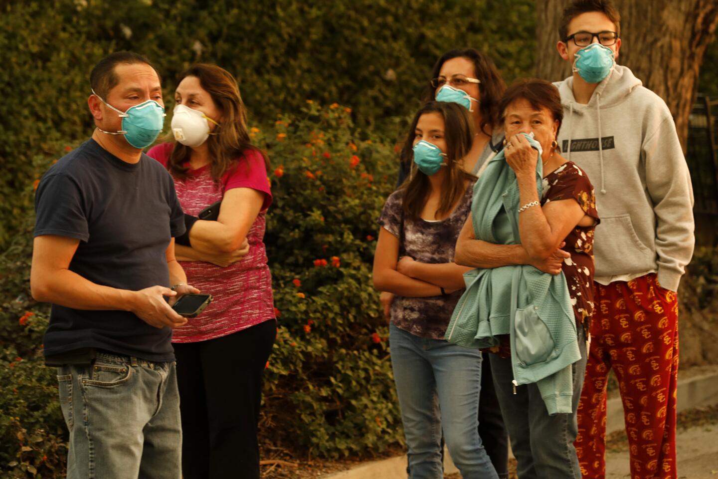
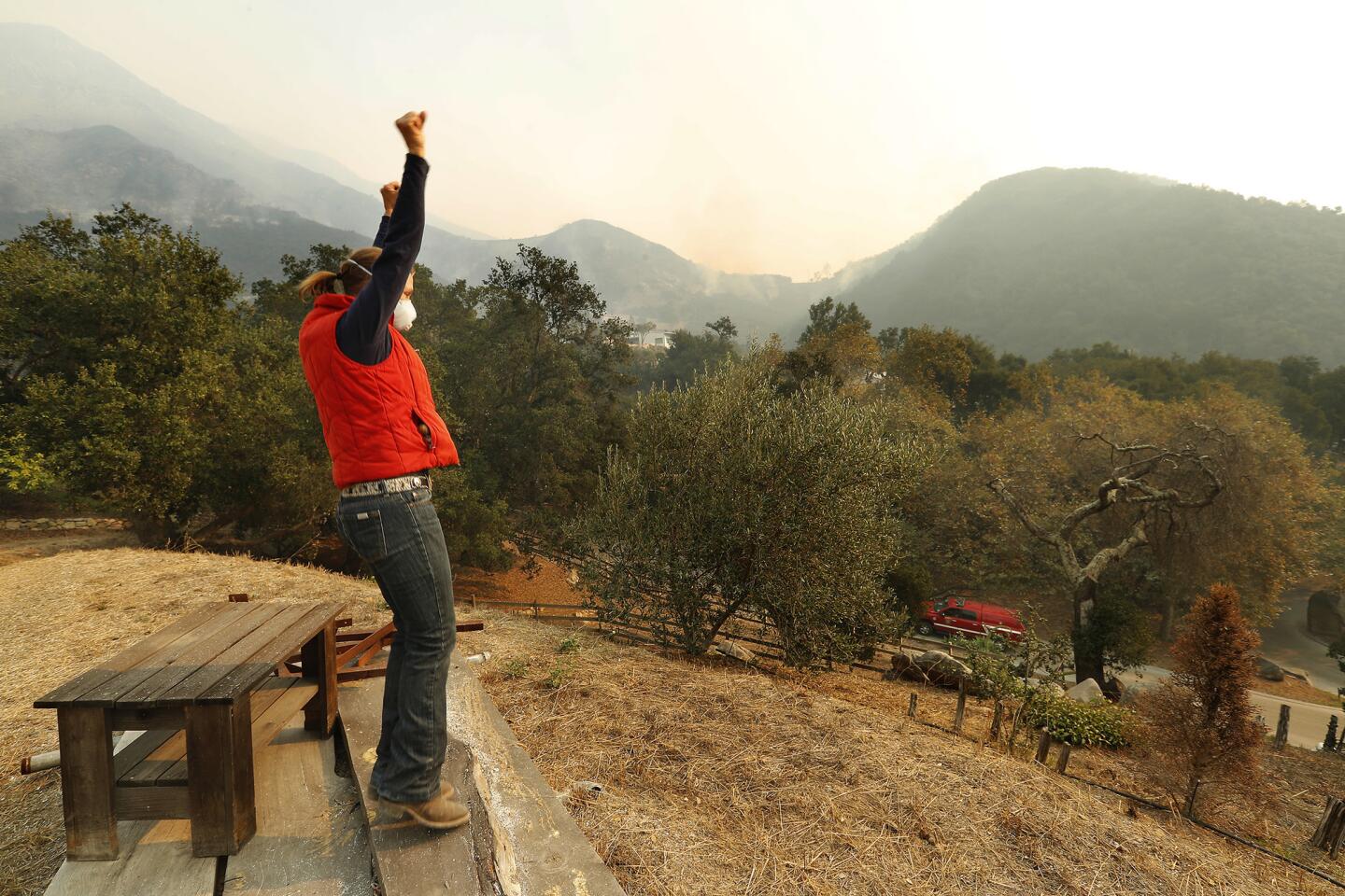
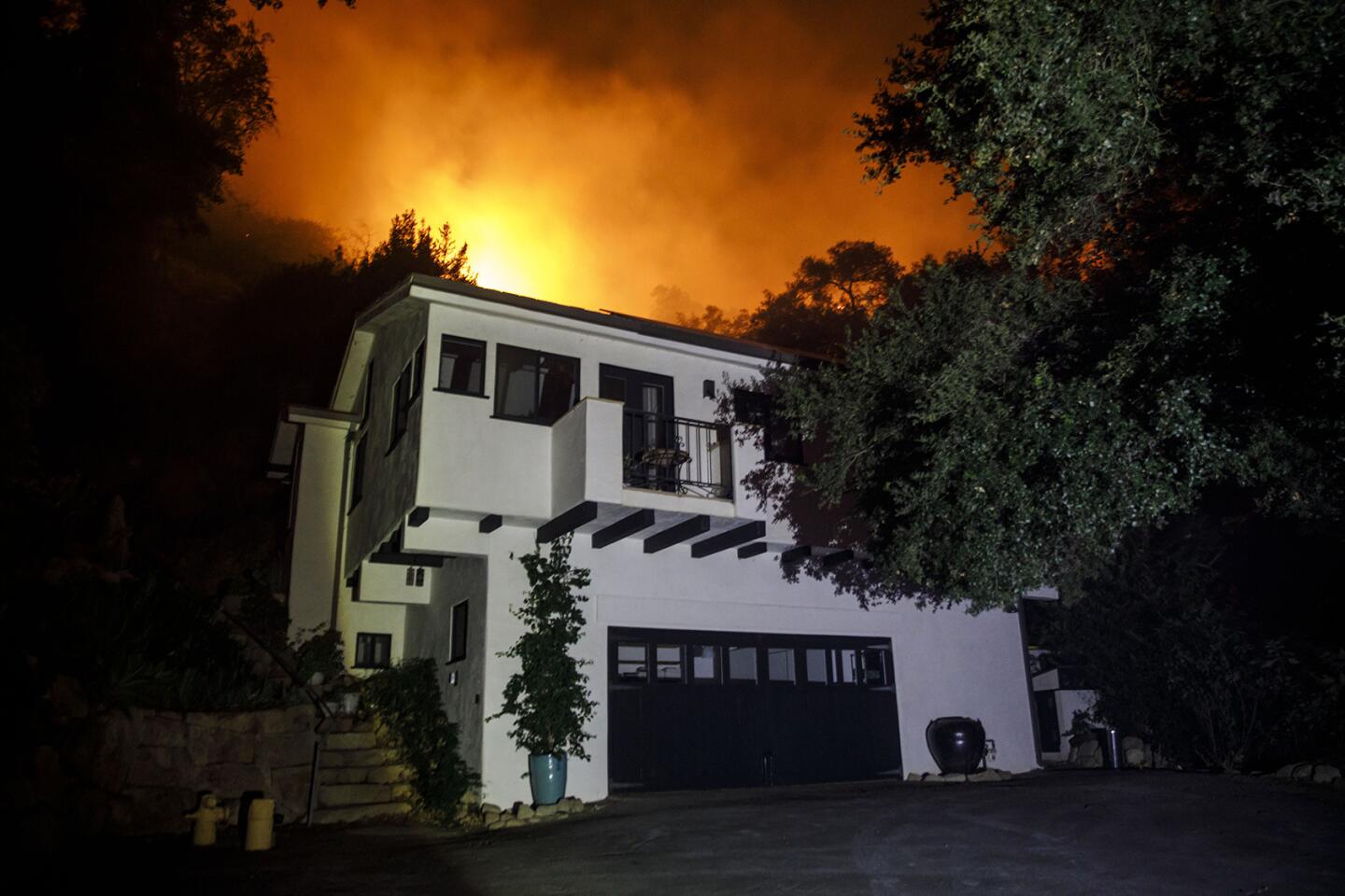
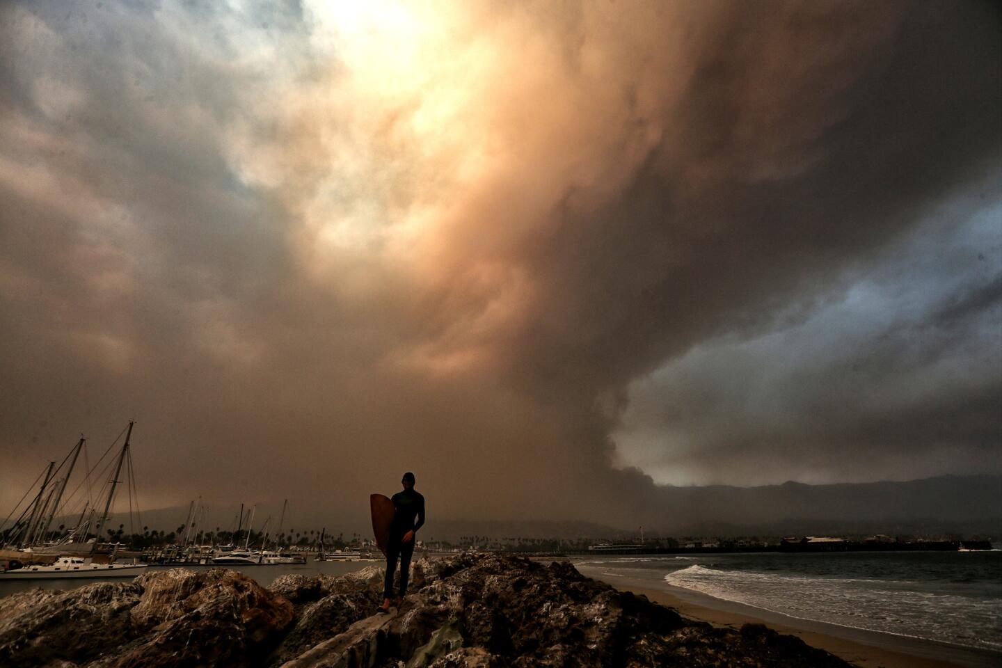
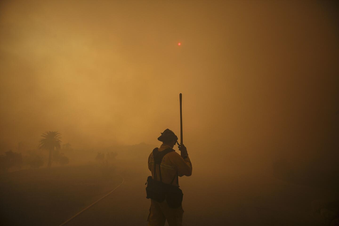
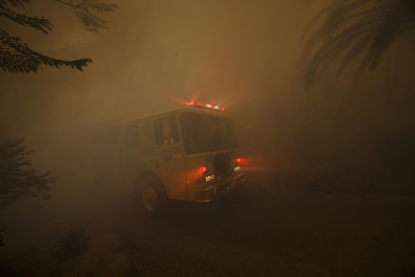
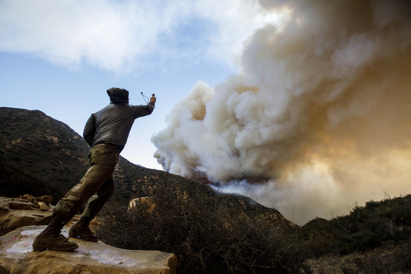
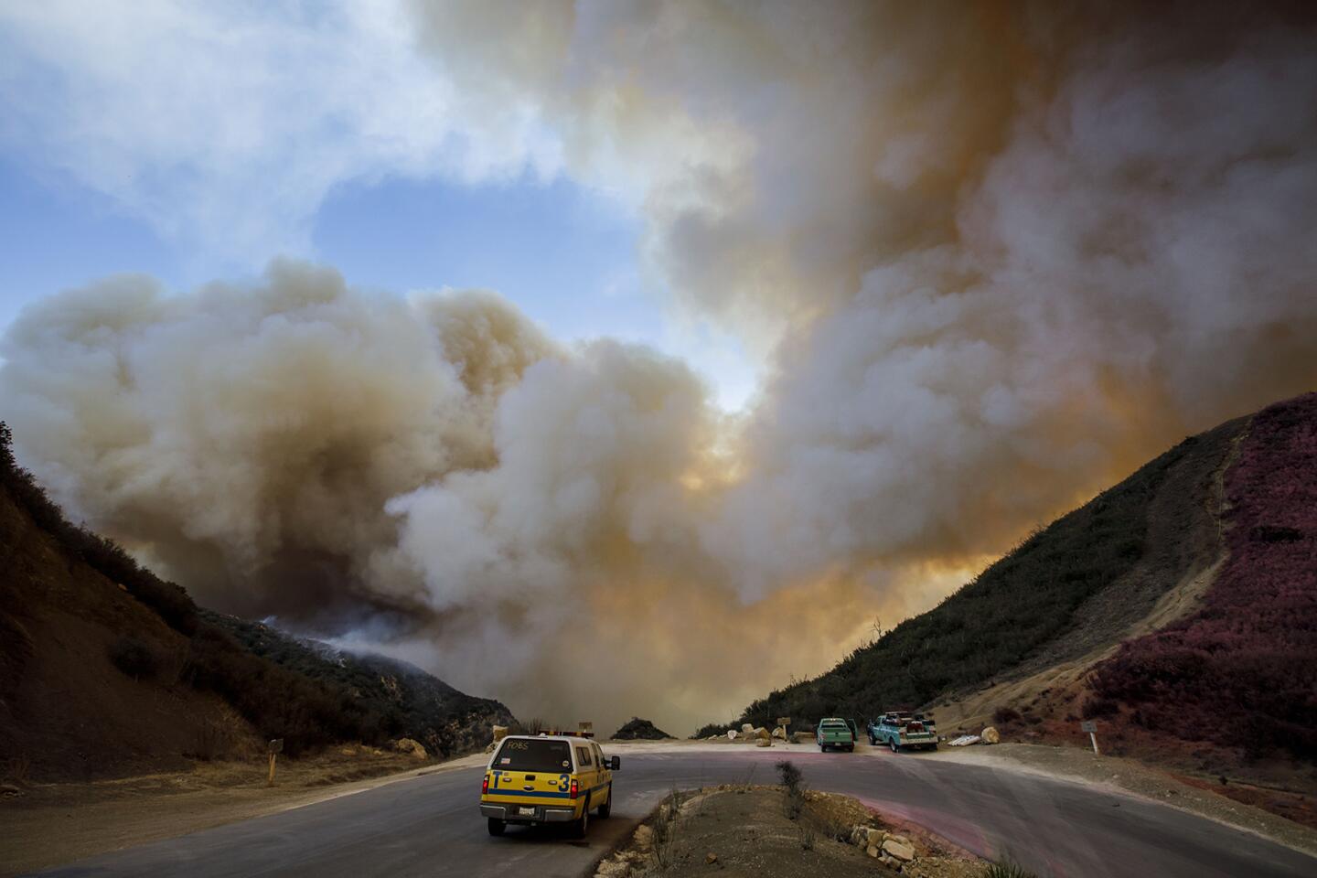
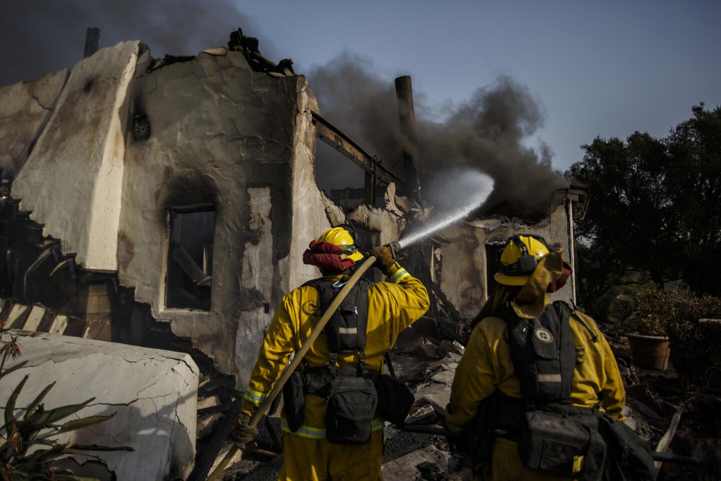
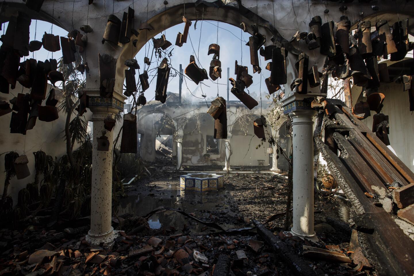
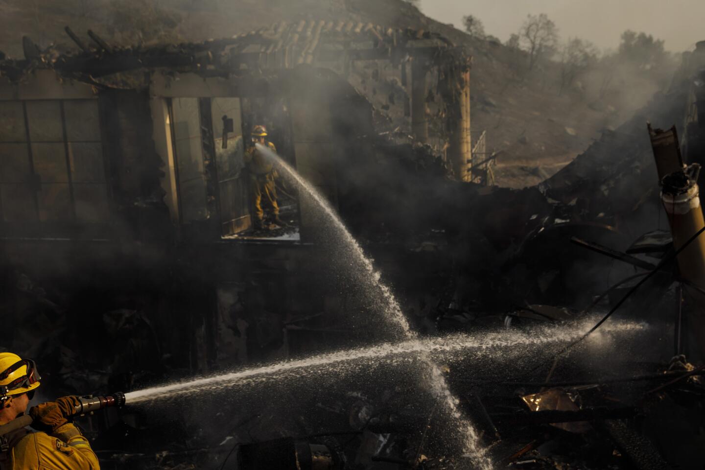
Santa Ana winds returned to Southern California with a vengeance, spreading multiple fires and burning some structures overnight, but they were not as bad as forecasters expected.
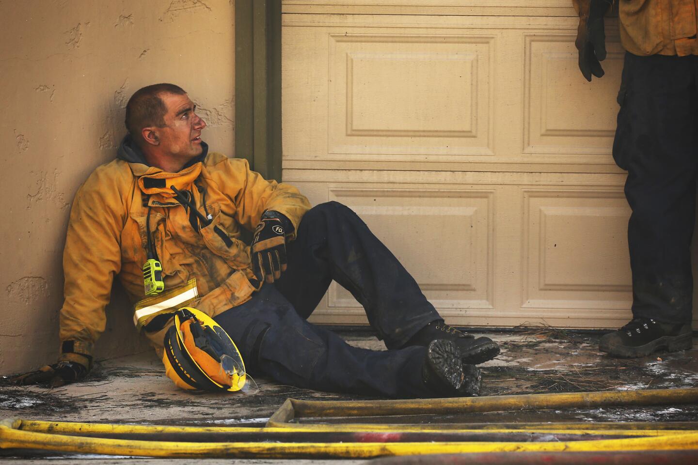
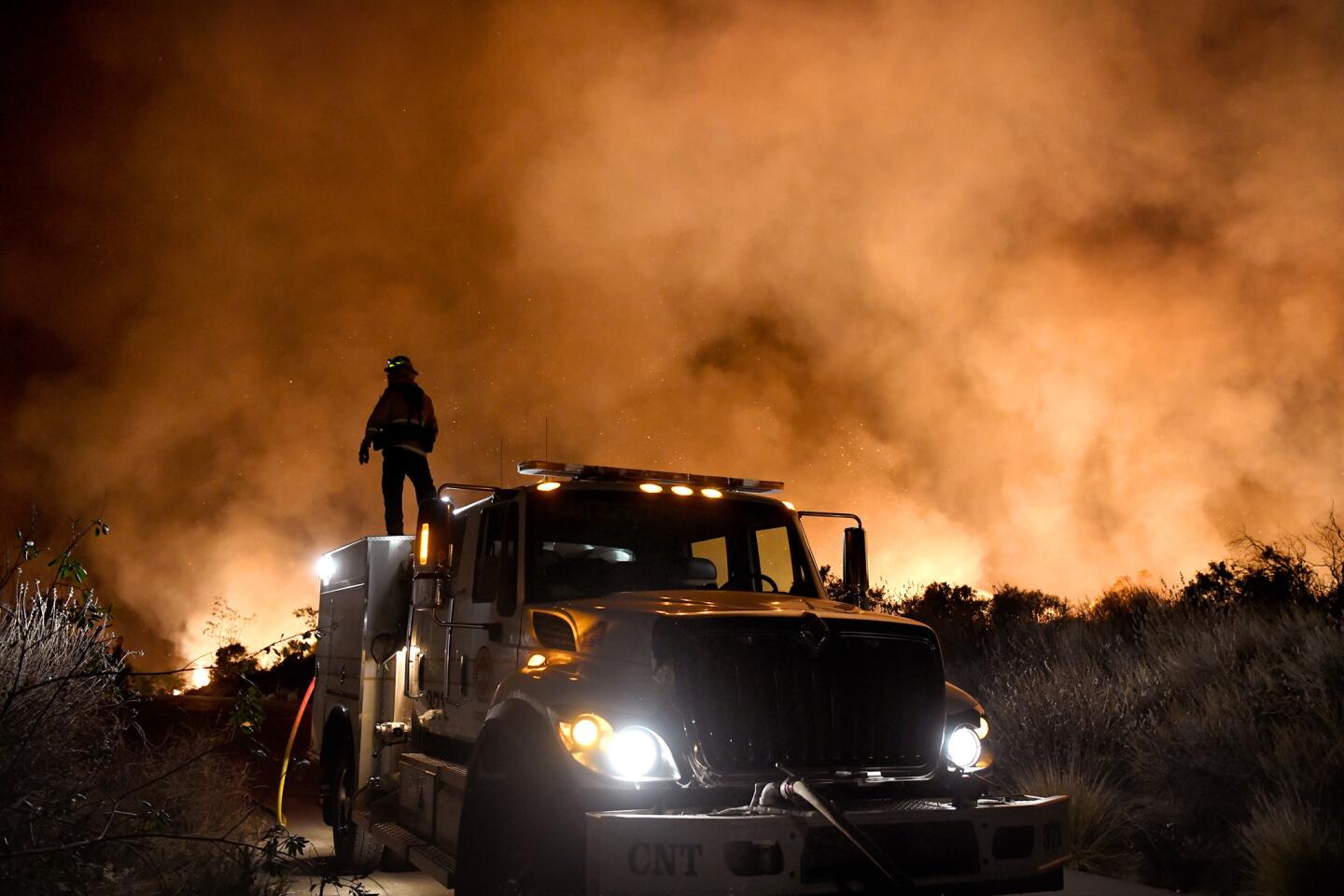
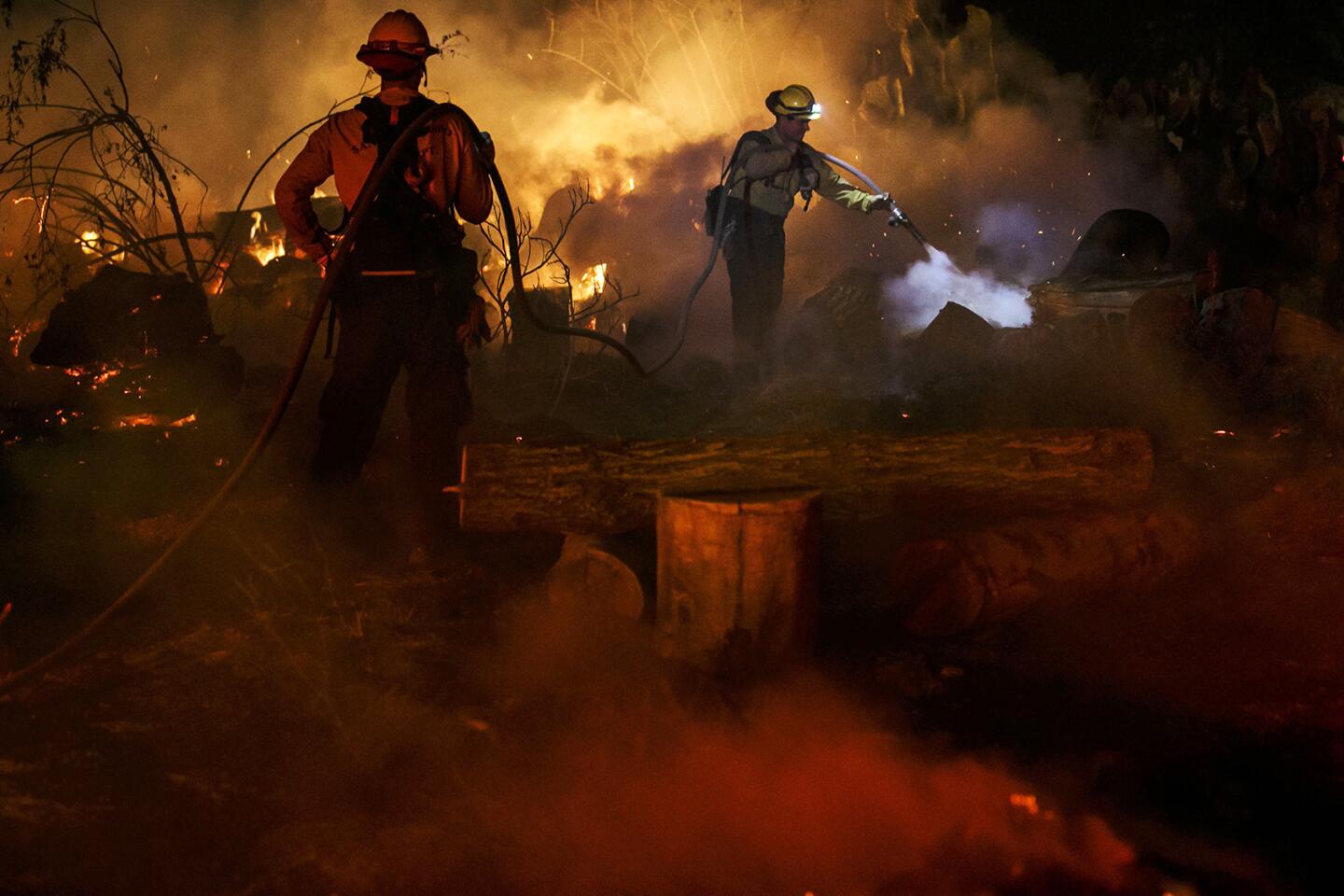
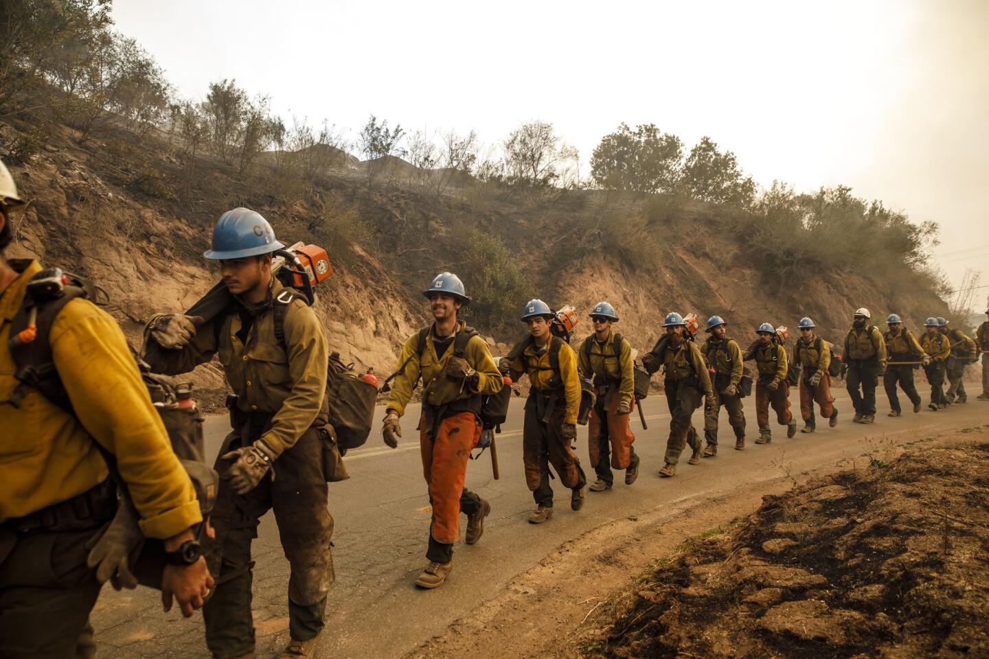
The difference was a small but important boost in the firefight — which stretched from Ojai to Bel-Air.
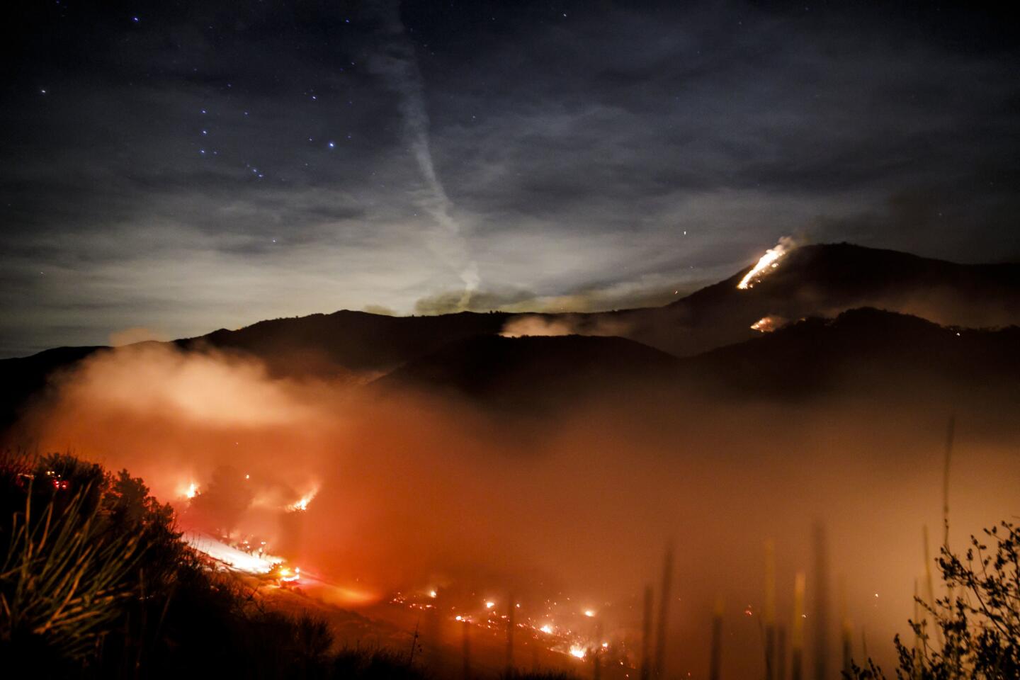
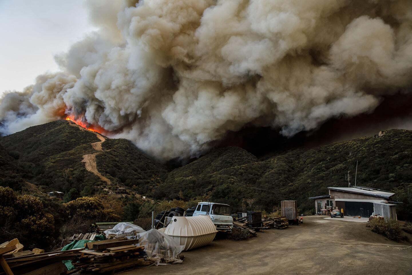
Bill Murphy, a public information officer with Cal Fire, said that over Wednesday night into Thursday morning, the fire burned north of Ojai, moving to the northwest.
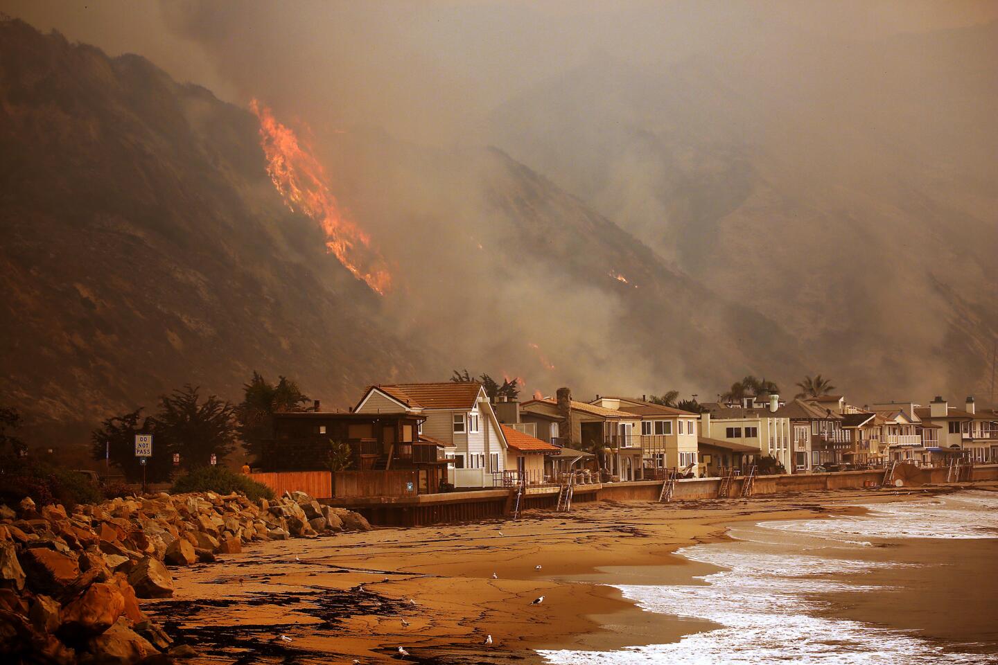
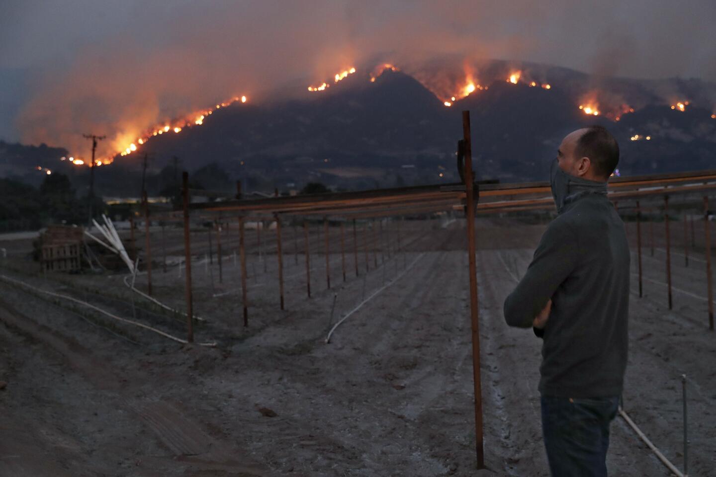
“Essentially for Ojai, the fire has skirted both sides of the community,” Murphy said. Fire continues to burn west of Highway 33, near Carpinteria, and although the winds weren’t creating as much of a challenge, the fuel bed and hilly terrain were, Murphy said.
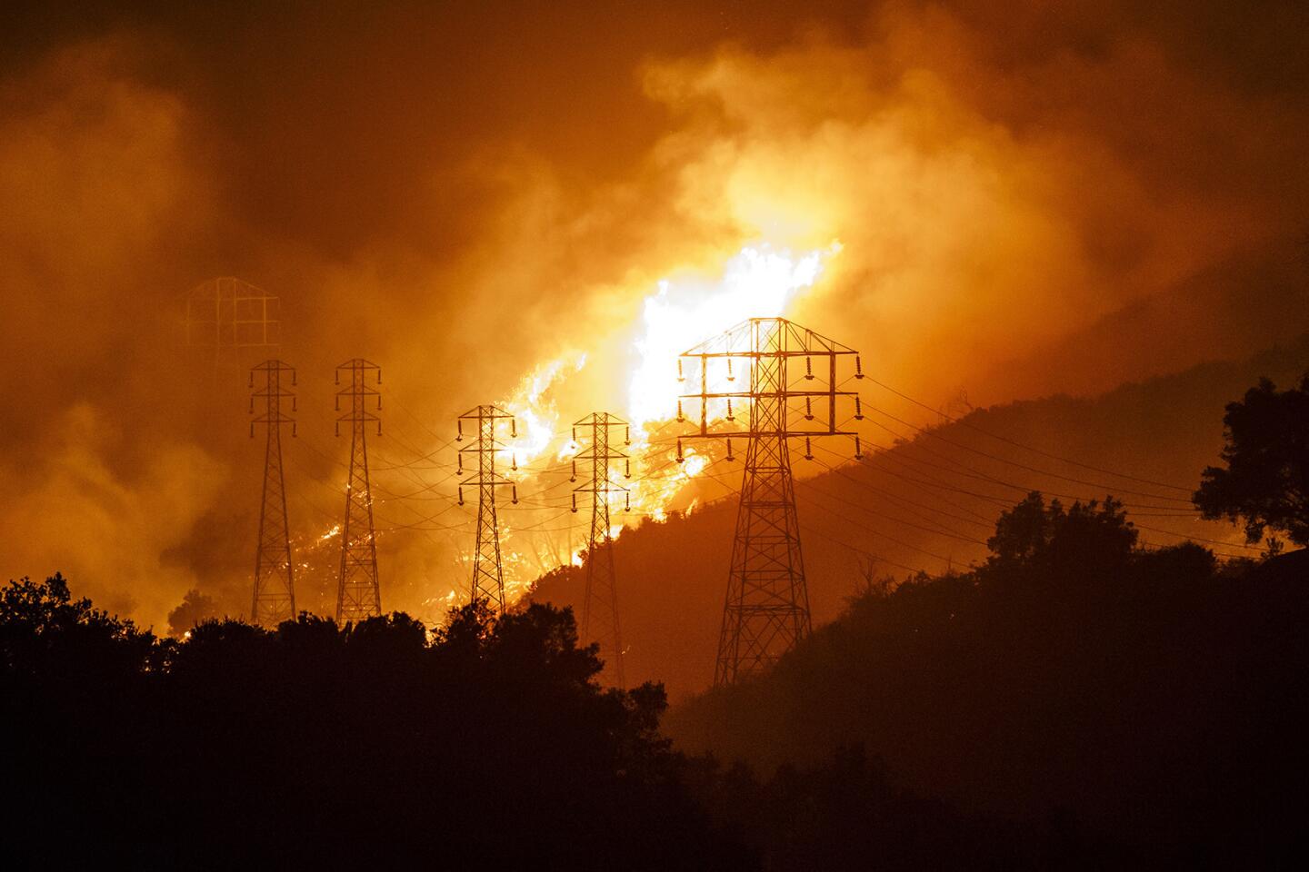
“The winds that were forecast for last night — it was windy on the ridge tops — the wind didn’t surface quite as much down low,” Murphy said. “Most of the fire behavior that was observed last night was as a result of topography and fuel conditions.”
The 80 mph winds expected in Los Angeles late Wednesday night and early Thursday morning did not materialize either.
The Skirball fire, burning just east of the 405 Freeway, remained 5% contained Thursday morning and had burned 475 acres, fire officials said. A portion of a fire perimeter is considered contained when firefighters have cleared a broad area to form a fire break or hauled in hose lines that will stop the blaze from advancing.
Winds reached speeds of 40 mph overnight, but the steep canyons east of the 405 worked in firefighters’ favor, sheltering the fire from the strongest gusts and preventing embers from sparking new spot fires, said Los Angeles Fire Department Assistant Chief Armando Hogan.
Although 95% of the Skirball fire is not contained, that does not mean the blaze is burning out of control, Hogan said. Many of the tallest flames have been knocked down, he said, adding that some active fires are still burning “but nothing that is raging and roaring, like we saw the other night.”
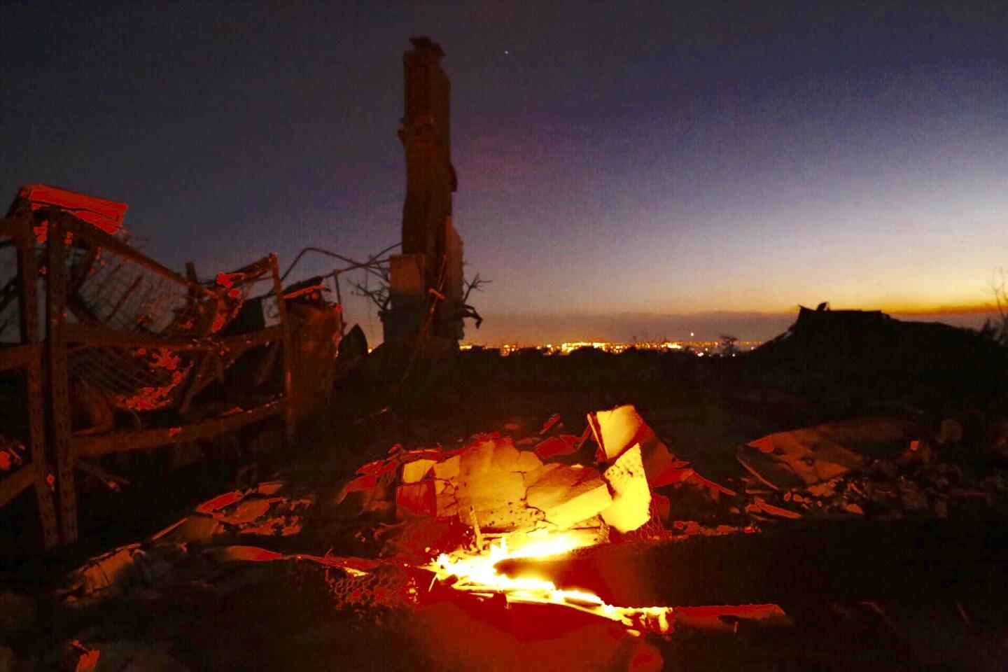
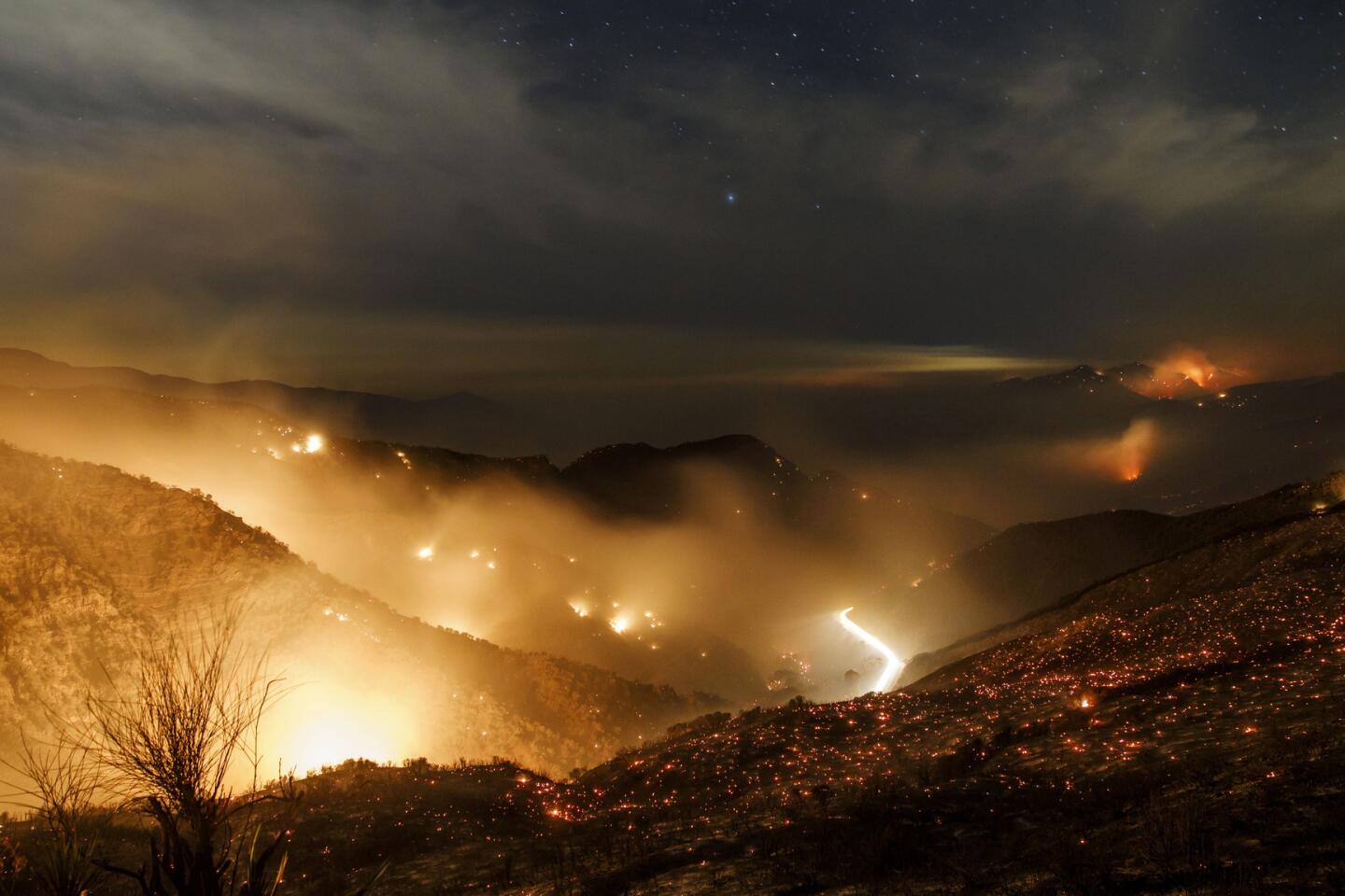
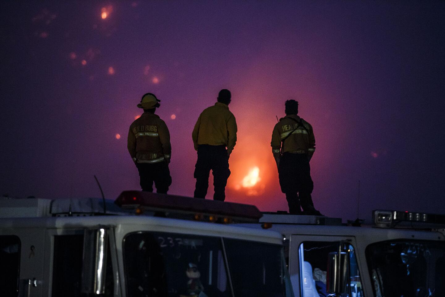
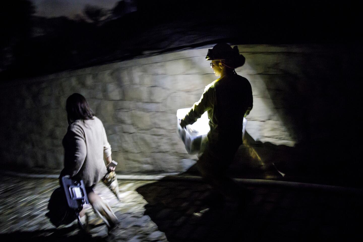
Some deep canyons have decades of heavy brush growth that is highly flammable and is burning off, LAFD spokesman David Ortiz said. Those areas are smoldering with embers that firefighters call “cat eyes” because they glint in the darkness with a certain feline quality.
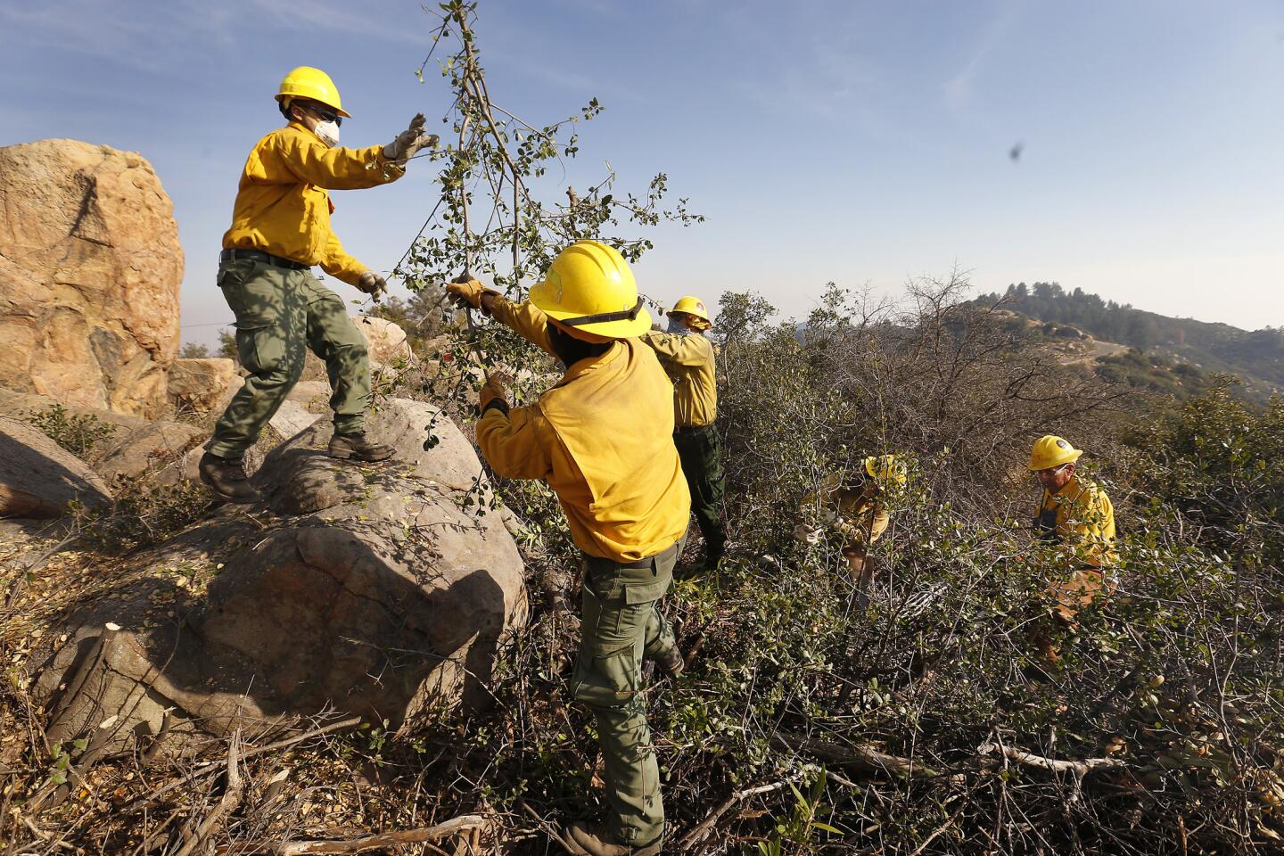
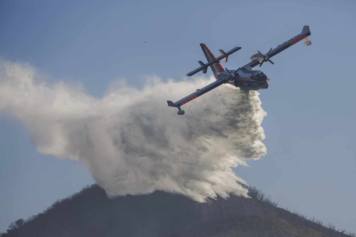
Some canyons have 70-degree inclines, too steep to accommodate firefighters at all. Fire crews are dropping water on those areas with one airplane, and another is on the way, LAFD spokesman Peter Sanders said.
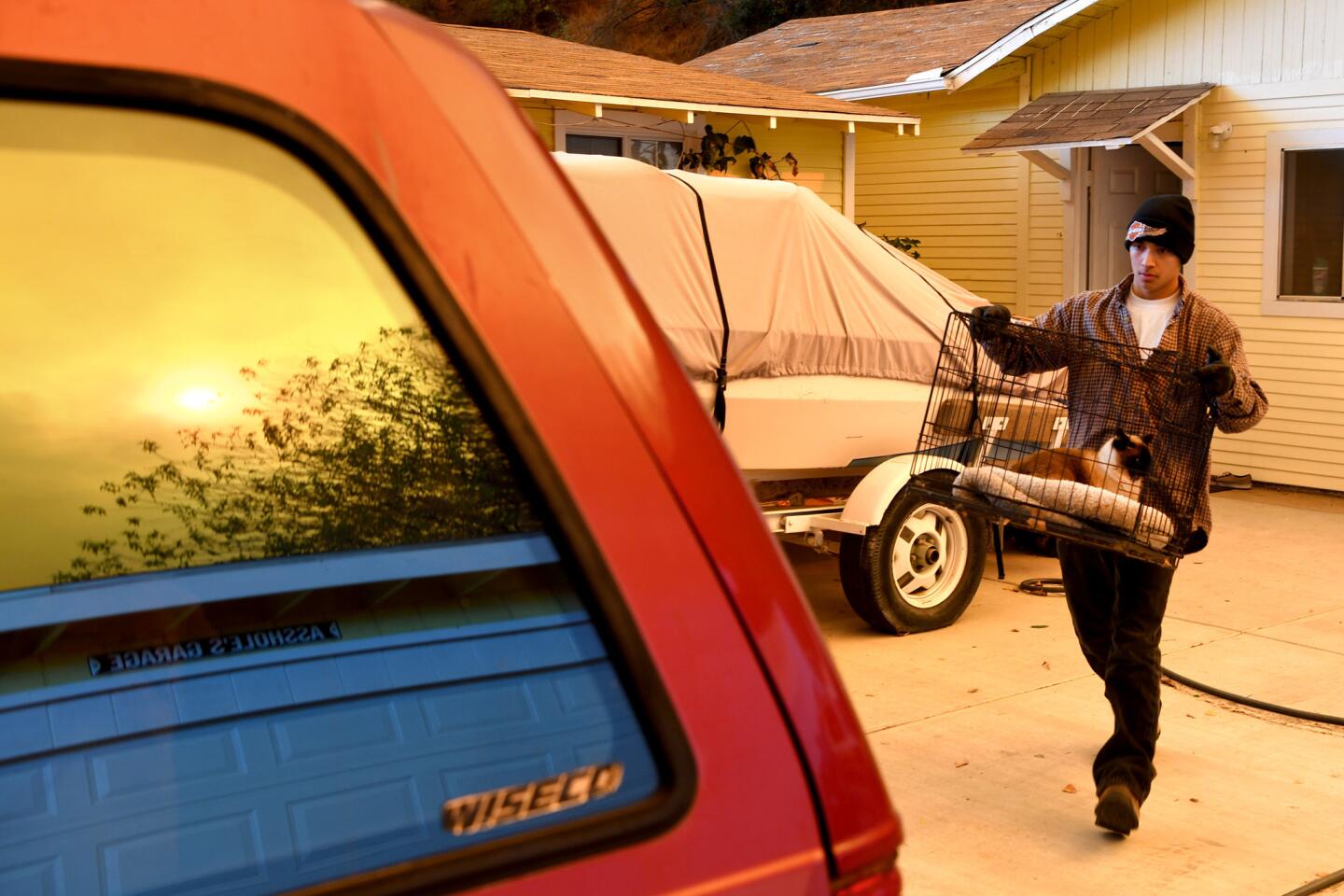
If the firefight goes well Thursday, with winds of 20 to 25 mph, officials may consider allowing some evacuated residents to temporarily return home to pick up clothes and medication, Hogan said.
“What we don’t want to do is pull the trigger prematurely,” Hogan said.
Santa Ana winds are strong, extremely dry downslope winds in Southern California and northern Baja California. They originate inland in desert regions and occur mainly in the fall and winter but can arise during other seasons.
Most Santa Ana wind events are caused by high pressure in the West’s Great Basin and lower pressure off the coast. Air from areas of high pressure flows toward that of lower pressure, and the gradient, or difference, causes the intense winds.
Air from areas of high pressure over high ground inland flows down toward sea level in Southern California. The sinking air heats up, loses moisture and speeds up, especially as it squeezes through canyons.
The severity of Santa Ana winds varies by year. Some years see less strong winds than others. The winds in some years — such as 1993, 2003 and 2007 — have produced multiple destructive fires.
More to Read
Sign up for Essential California
The most important California stories and recommendations in your inbox every morning.
You may occasionally receive promotional content from the Los Angeles Times.
