El Niño’s not dead yet: Rain headed to L.A. this weekend, snow to the Sierra Nevada

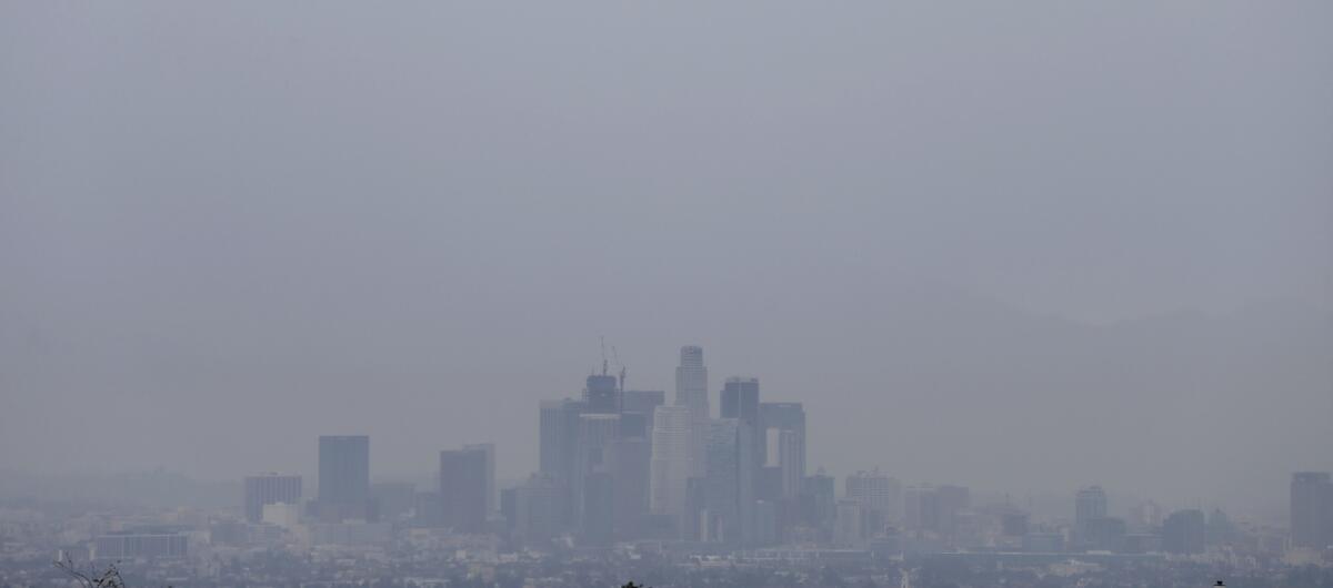
Rain obscures the view of downtown Los Angeles in February. More is expected late this week.
- Share via
A massive storm system plowing through California this weekend is expected to dump several inches of rain on Southern California and add sheets of snow to the Sierra Nevada, where the drought-stricken state needs it most.
Forecasters say the cold front will arrive in two waves: one Saturday night and into Sunday morning and another Sunday night, continuing into Monday.
In Los Angeles, the storms could bring as much as 2 inches of rain to downtown and as much as 3 inches in the foothills and mountains.
Meanwhile, important parts of Northern California that feed the state’s reservoirs could receive as much as 6 inches of precipitation and 3 feet of snow.
“This is a large-scale system,” said Dustin Norman, a meteorologist with the National Weather Service’s station in Reno. “Getting 4, 5, 6 inches of liquid precipitation along the [Sierra] Crest is definitely good.”
While Northern California has at times benefited from above-average rain and snow this winter, Southern California has been less fortunate.
Since the beginning of the so-called water year on Oct. 1, downtown Los Angeles has received about 5 inches of rain, said Bonnie Bartling, a weather specialist at the NWS station in Oxnard.
The “normal” amount hovers around 11 inches, she said; even last year, when statewide hydrology was suffering, downtown L.A. got more than 7 inches.
March usually brings about 2 1/2 inches of rain to downtown, Bartling said.
“So far, we’ve been at zero,” she said. But this weekend’s storm alone could almost get L.A. to average.
“At least we’re seeing some storms in March,” Bartling said.
The second storm in the system is likely to be colder than the first and could add thunderstorms to the mix on Monday, Bartling said. Snow levels also will drop Monday night into Tuesday and could affect travel through the Grapevine.
Snow levels are expected to fall rapidly in the Sierra Nevada starting Saturday night and could cause complications along Interstate 80, Norman said.
But California needs the snow. On Saturday, the water content contained in the state’s snowpack had fallen to 79% of normal. At one point in January, it had reached 119% of normal.
Precipitation levels at an eight-station index in the Northern Sierra were recorded at 103% of normal for Saturday, while almost all of the state’s most important reservoirs still hold much less water than they do historically.
“Mother Nature is not living up to predictions by some that a ‘Godzilla’ El Niño would produce much more precipitation than usual this winter,” Department of Water Resources Director Mark Cowin said in a statement earlier this week. “We need conservation as much as ever.”
State water officials are expected to have a better sense of drought conditions after they measure the snowpack again on April 1.
For more on the California drought and water, follow me on Twitter @ByMattStevens.
ALSO
San Gabriel commuters cheer as Gold Line rail extension officially opens
Drug lord ‘El Chapo’ sneaked into California twice after escape from prison, his daughter says
UC Davis chancellor makes $424,000, so why the $70,000 side job at DeVry?
More to Read
Sign up for Essential California
The most important California stories and recommendations in your inbox every morning.
You may occasionally receive promotional content from the Los Angeles Times.


