Caught Off Guard : While aiding drivers, the barrier has made cyclists’ only coastal route from Santa Barbara to Ventura a high-risk outing.
- Share via
The Great Barrier Beef began innocently enough for the California Department of Transportation.
In February, 1992, Caltrans erected a simple metal-beam guardrail along the ocean between Bates Road and La Conchita, a two-mile stretch of the Ventura Freeway also known as 101, Pacific Coast Highway and the Rincon.
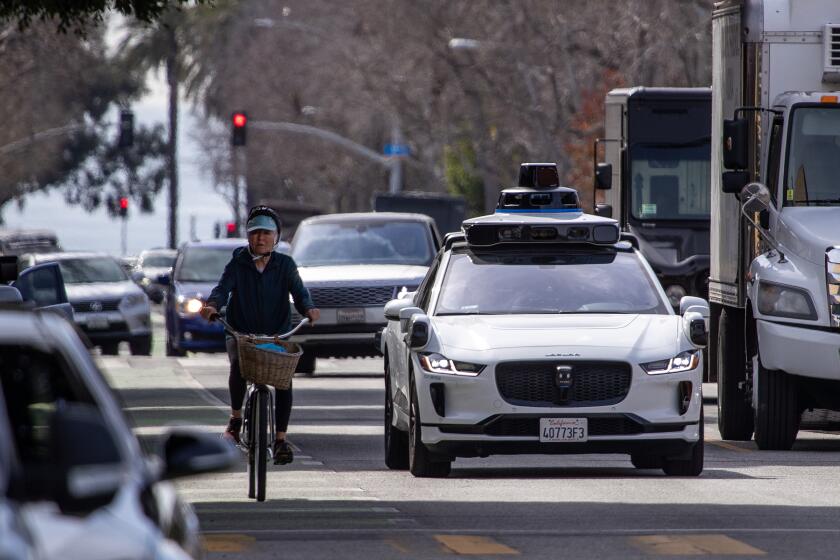
While improving safety for drivers--the guardrail prevented southbound vehicles from careening over a seawall--the Caltrans project had the opposite effect on bicyclists, making their only coastal route from Santa Barbara to Ventura a high-risk undertaking.
The multiuse shoulder includes a section of the Bicentennial Bike Trail, which runs from Canada to Mexico. Before the guardrail, the ride was never completely safe for cyclists, but at least they had room to maneuver in an emergency. When installation of the $138,220 barrier narrowed the shoulder from 18 to 14 feet, cyclists were forced to make life-and-death choices if suddenly confronted by a parked car with the driver’s door opened wide.
Caltrans admitted it made a mistake.
“We didn’t realize we’d cause a problem for cyclists,” traffic engineer Larry Louden said. “Frankly, we goofed.”
Moving quickly to appease cyclists, Caltrans only managed to compound one goof with another, enraging another segment of the population. This particular bend in the Ventura Freeway was not just a rest stop for truckers but a free parking spot for summertime beach-goers.
When Caltrans decided to ban parking to protect cyclists, “it caused an uproar,” said Kris Kuzmich, administrative assistant to state Assemblyman Jack O’Connell (D-Carpinteria).
The uproar drowned out pleas from cyclists. Caltrans rescinded the no-parking ban in about two weeks, which meant that cyclists were literally between a rock and a big rig. An arm’s length from vehicles cruising at 70 m.p.h., they had to ride on maximum alert in a constant state of terror. Fresh skid marks across the bike lane--ominous reminders that traffic sometimes took unexpected detours--also added to the anxiety.
“It was very scary and unpleasant,” said Bill Becher of the Conejo Valley Cyclists club.
By the spring of 1992, O’Connell and state Sen. Gary Hart (D-Santa Barbara) had persuaded Caltrans to schedule two informal public meetings to resolve the dangerous situation. At the second meeting, in September, 1992, Caltrans agreed to move the guardrail toward the ocean about four feet, creating a door zone between the bike path and the parking section. Everybody was satisfied, including Pat Larson, president of the Ventura-Oxnard Cycling Club, and representatives of the Surfrider Foundation.
“We supported Caltrans moving the guardrail as far back as possible,” said Larry Manson, a local Surfrider member.
But the move did not come soon enough for a 65-year-old female cyclist, who was killed last June when a car drifted into the bike lane and ran into her.
After the removal of the old guardrail and the construction of a new barrier in February--at a cost to the taxpayers of $274,596--Caltrans thought the Great Barrier Beef was finally over. But it was only getting warmed up.
Manson and others were stunned to see the new installation. Caltrans had widened the shoulder, but instead of using the same two-foot-high metal rail with a peekaboo ocean view, Caltrans had laid down a 32-inch-high, solid concrete wall.
Surfrider cried foul, contending that Caltrans switched plans without telling the public and should have applied for permits from the California Coastal Commission.
“Any time you build a significant structure along the coast--and I consider a two-mile concrete structure significant--you have to go through the permitting process,” said Manson, a history teacher at Ventura College.
Manson recently took Surfrider’s objections to the Ventura office of the Coastal Commission, which agreed to investigate the possibility that Caltrans is in violation of the 1976 California Coastal Act.
“No one disputes that cars do get launched off (the shoulder) and we agree about the need for a barrier,” Manson said, “but this is all about process. The whole issue of going through public review is reasonable. It’s good to have public input.”
Surfrider argues there is a big difference between a slender metal guardrail and a ponderous concrete barrier, but Caltrans officials counter that the barriers are exempt from the Coastal Act, falling under the “repair and safety” exclusion. The original guardrail didn’t need permits for the same reason.
“We replaced a safety barrier with a safety barrier,” said Ron Kosinski, a district chief of environmental planning for Caltrans. “If I had to go to hearings for every guardrail, (concrete wall) or stoplight, that’s all I’d do.”
But Chris Price, a Coastal Commission analyst and an avid cyclist, believes Surfrider might have a valid point. “There’s some ambiguity in the exclusion clause,” Price said. “I don’t know if it was the intent of the exclusion clause to exempt a cement wall.”
Others also object to the wall: It partly blocks the view for cyclists, motorists and La Conchita residents and possibly deters beach-goers and surfers from using the beach.
“It’s as much a mental barrier as a physical one,” surfer Stan Fujii said.
Why did Caltrans install the concrete barrier?
It had no choice. After the September, 1992, meeting, Caltrans field engineers discovered their inability to move the guardrail closer to the ocean. Rail posts have to be sunk three feet into the ground, but the thin lip of the shoulder was on top of huge seawall boulders called riprap, which can’t be drilled.
“Putting the guardrail in just wasn’t practical,” Robert Joe, a Caltrans engineer, said.
No matter how the Great Barrier Beef plays out, cyclists must deal with a bike path still considered the most dangerous in the county (see chart). Although Larson said the shoulder, with the inclusion of the door zone, “is very comfortable again,” other cyclists don’t share his enthusiasm.
“If anything, it’s more dangerous than it’s ever been,” said Tom Ramirez, a Santa Barbara rider who was cycling to Ventura. “You’re still riding right next to traffic, and the way Caltrans marked the shoulder is very confusing to drivers. The last thing a cyclist needs out there is a confused driver.”
If Caltrans really wanted to keep them safe from traffic, some cyclists said, it would have installed a barrier between the bike lane and the freeway. Caltrans’ own Planning and Design Criteria for Bikeways states: “Bike paths closer than five feet from the edge of a highway shall include a physical divider.”
Although the criteria “is desirable, it isn’t a requirement,” said Bill Weldele, district chief of a Caltrans’ traffic design branch.
Besides, putting a barrier on the edge of the freeway would prevent cars from parking along the shoulder, causing another controversy for Caltrans.
What about placing the bike lane on the ocean side of the barrier, separating cyclists from drivers? That option was discussed, Larson said, but eliminated out of fear that trash would be thrown on the path by people parked along the barrier, creating a hazard for cyclists.
“You’d have dead cats, discarded hibachis, old tires,” Larson said. “It would be unusable in a month.”
The ideal solution would be to relocate the bike path across the freeway along the Southern Pacific rail right of way. But that option was neither discussed nor considered. According to experts, acquiring right of way and laying a path would be prohibitively expensive. Furthermore, because the path would run in a gully about 18 inches below the level of the freeway, cyclists would have to give up their ocean views, a prospect some might not appreciate.
“I don’t know if they’d be happy riding in a hole seeing nothing but truck tires go by,” Caltrans’ Robert Joe said.
O’Connell’s assistant considers the current configuration the best. “I don’t think there will ever be a solution to please everybody,” Kris Kuzmich said. “That’s impossible.”
A Few Routes to Traverse With Caution
Ten popular county bike routes rated as dangerous by expert cyclists:
LA CONCHITA
* Ventura Freeway (Bates Road to La Conchita)--Cyclists must deal with high-speed heavy traffic and vehicles parked on the shoulder.
VENTURA
* Harbor Boulevard (Seaward Avenue to Ventura Harbor)--Heavy traffic, cars parked on shoulder and several cross streets make this an anxiety-producing ride.
* Harbor Boulevard (McGrath State Beach to Edison power plant)--Bike lane and traffic lane converge on narrow bridge, bringing cyclists inches from vehicles.
* Foothill Road--Hilly and winding with no shoulder, the route is not for the novice.
MOORPARK
* Los Angeles Avenue (just east of Balcom Canyon Road)--Railroad tracks above the road level cross bike route at an angle and can catch a bicycle’s front wheels, throwing cyclists into oncoming traffic.
CASITAS PASS
* California 150--Large potholes on the downhill grade are booby traps for cyclists.
SIMI VALLEY
* Arroyo Simi Bicycle Path--Although most of the route is protected, cyclists have to exercise caution crossing several major streets.
* Madera Road (Los Angeles Avenue south to just past Royal Avenue)--A designated lane suddenly disappears in a stretch with heavy traffic, giving cyclists little space to maneuver.
CAMARILLO
* Central Avenue (between the Ventura Freeway and Santa Clara Road)--The heavily trafficked street has no shoulder, providing cyclists with no safety margin.
HIDDEN VALLEY
* West end of Potrero Road--A blind curve offers cyclists no clue as to what lies beyond the bend.
More to Read
Sign up for Essential California
The most important California stories and recommendations in your inbox every morning.
You may occasionally receive promotional content from the Los Angeles Times.


