Sunken coastline and higher flooding risks: Scientists chart a worst-quake scenario
- Share via
Good morning. Here’s what you need to know to start your day.
- A new study of the Cascadia subduction zone looks at a worst-case quake scenario.
- L.A. County approves a $4-billion sex abuse settlement, the largest in U.S. history.
- 15 of the best places to shop for rugs in L.A., according to interior designers.
- And here’s today’s e-newspaper.
You're reading the Essential California newsletter
The most important California stories and recommendations in your inbox every morning.
You may occasionally receive promotional content from the Los Angeles Times.
A worst-quake scenario
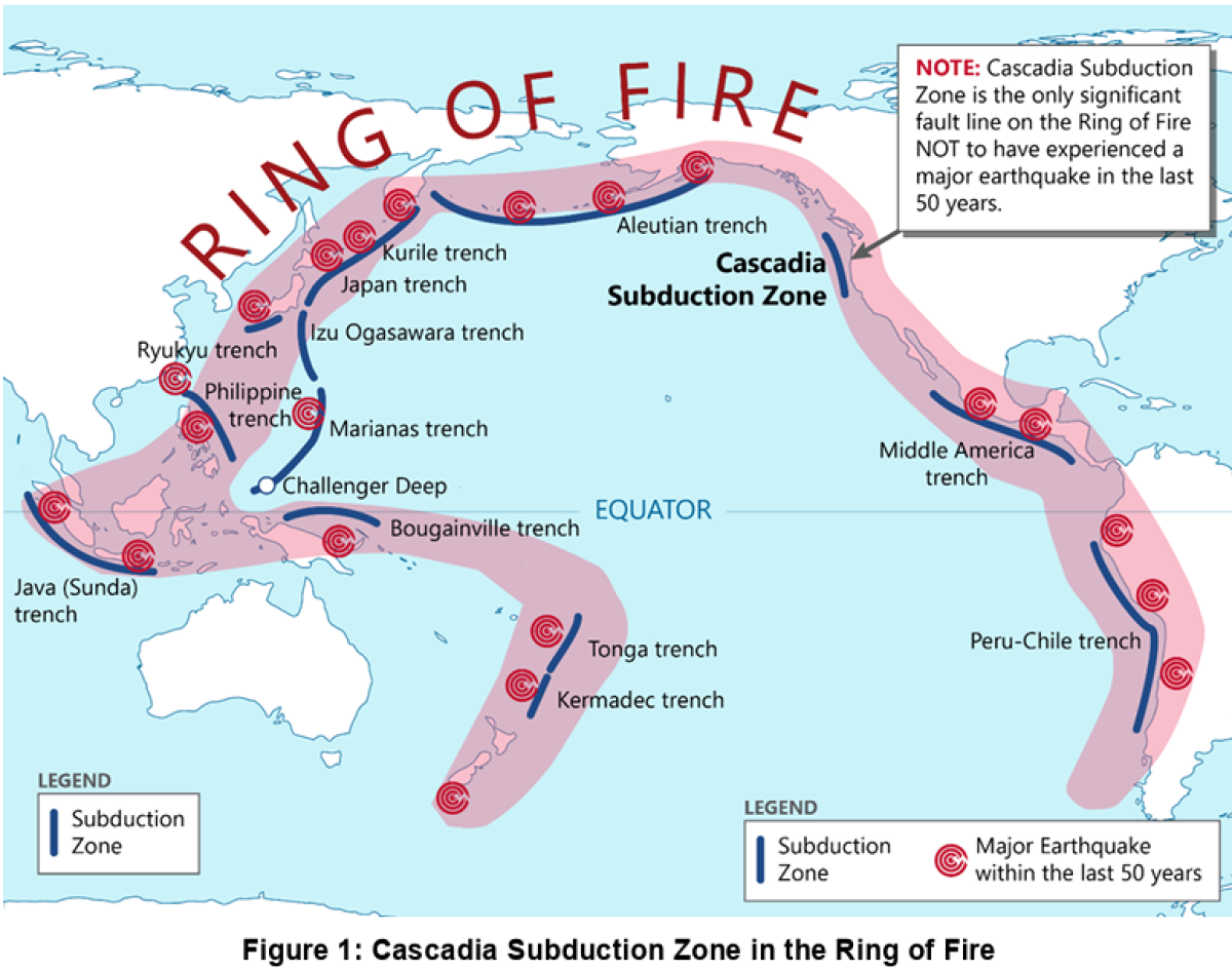
The Cascadia subduction zone might not be on the minds of most Californians, but it was for more than a dozen geologists and other scientists in a recent study analyzing flood risks along the Pacific coast.
Sea-level rise is the typical focus of such studies, but the authors focused on another hazard that experts say is a matter of when, not if: a megaquake.
According to the study, when the next magnitude 8-plus temblor occurs along the Cascadia subduction zone, which stretches from Northern California up to Canada’s Vancouver Island, it could cause sudden subsidence (aka land sinking) of 1.6 to 6.6 feet, dramatically heightening flood risk.
“Earthquake deformation modeling and geospatial analysis show that [land sinking] from a great earthquake at Cascadia today could double the flood exposure of residents, structures, and roads,” the authors wrote.
The study, published Monday in the journal Proceedings of the National Academy of Sciences, concluded that the worst-case quake scenario would expand the area at risk of flooding by 116 square miles. That’s 2½ times the size of San Francisco, The Times’ expert earthquake reporter Rong-Gong Lin II noted in his coverage this week.
“Traditionally, scientists and government officials have focused on climate-change-driven sea-level rise to calculate the projected increased risk of coastal flooding,” Ron explained, “But the study argues that neglecting the role of major earthquakes would be shortsighted.”
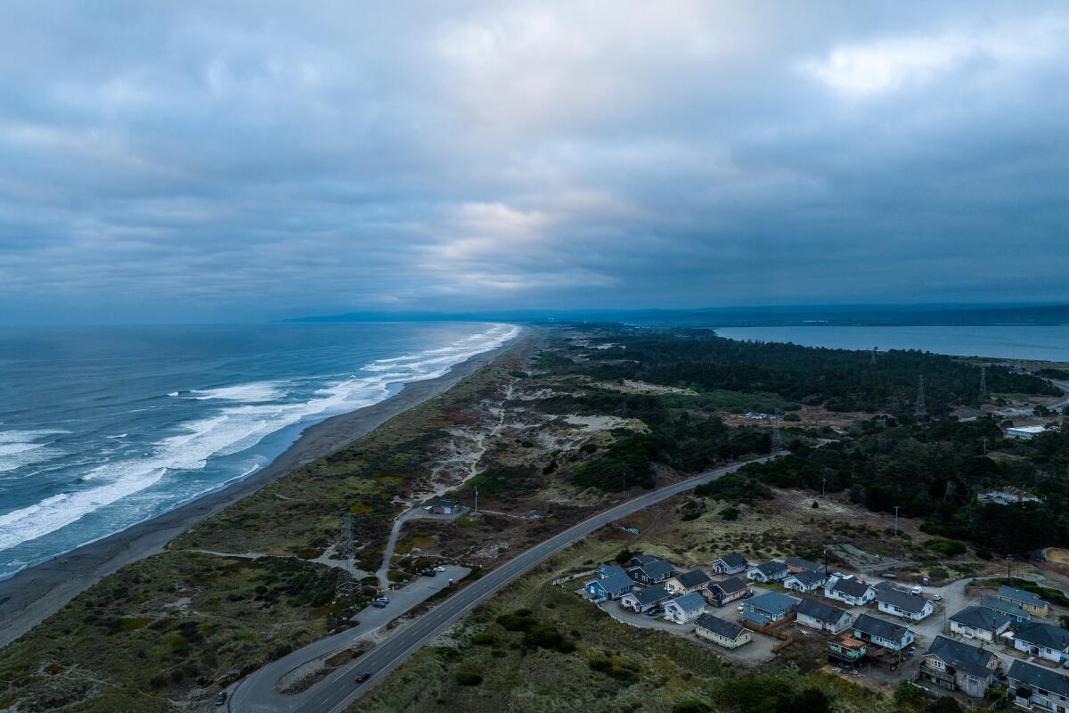
Some parts of the Pacific coastline are already sinking, “amplifying local relative sea-level rise (RSLR),” the authors noted. That includes California’s Humboldt Bay area, which is sinking at the highest rate along the whole Pacific coastline, according to the study.
The Humboldt Bay region, which includes the area around Eureka and Arcata, was identified in the study as especially prone to major land sinking in the event of a megaquake. Several other communities along the Oregon and Washington’s coastline were also highlighted.
This from the study caught my eye: Some areas along the Pacific coastline are actually rising slowly due to how the tectonic plates are moving. For now, that’s a bit of a buffer against sea-level rise, but it won’t last much longer, the authors wrote.
“By [about] 2030, rates of climate-driven sea-level rise are expected to outpace gradual uplift,” the study states, adding that over the 70 years after that, sea levels are projected to rise roughly 1 to 3 feet.
You can read more about the study and the history of major quakes in Ron’s full story.
Today’s top stories
L.A. County approves a $4-billion sex abuse settlement, the largest in U.S. history
- The vote is the culmination of years of fighting by victims, who argued that no one had paid the price for the rampant sexual abuse they said they suffered in county custody.
- The settlement includes nearly 7,000 claims, most of which involve alleged abuse from the 1980s through the 2000s.
LAFD union head made $540,000 in a year, with huge overtime payouts
- LAFD union leaders have padded their own paychecks with overtime, even as they complained that the LAFD did not have enough money to keep the city safe.
- In response to The Times’ inquiries, the LAFD said it has launched a “comprehensive review and overhaul” of its procedures for tracking the hours and reimbursement of those on leave for the union.
What else is going on
- Dolphin strandings are taking a toll on L.A. County’s lifeguards. Experts say there’s no end in sight.
- Paramount inches toward settling Trump’s $20-billion ’60 Minutes’ lawsuit.
- A judge orders Border Patrol to halt illegal stops in the Central Valley after dozens were arrested in raids.
- Kamala Harris blasts Trump’s policies in her first major speech since leaving office.
- Michael Bolton reveals he has brain cancer glioblastoma and is facing ‘a reality of mortality.’
- Priscilla Pointer, ‘Dallas’ and ‘Carrie’ actor and mom to Oscar nominee Amy Irving, dies at 100.
- Jeff Sperbeck dies after falling out of a golf cart reportedly driven by John Elway in Southern California.
Get unlimited access to the Los Angeles Times. Subscribe here.
Commentary and opinions
- The ‘USA’ brand was 250 years in the making. It took just 100 days to trash it, writes columnist Jackie Calmes.
- Military takeovers, questionable arrests, sanctuary city crackdowns. Hot Trump summer is here, columnist Anita Chabria writes.
- Climate change is cooking Los Angeles. Columnist Sammy Roth asks, does Karen Bass care?
- In this city, politics feels like Wrestlemania, argues columnist Gustavo Arellano. Who should we cheer?
This morning’s must reads
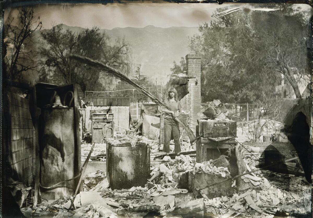
Hauntingly beautiful tintype photos memorialize what was lost in Altadena. While everyone’s seen images of the devastation, no photographers have captured the sadness quite as well as Sunny Mills, a set decorator who lost her home in the fire. Skilled in tintype photography, Mills has leaned into her hobby since Jan. 7, using a pair of cameras she was given and whatever nervous energy she has to head out into the community, shooting pictures of Altadenans with the structures they’ve lost.
Other must reads
- A coach is suspected of killing a boy. Did the D.A. take too long to charge him on an earlier accusation?
- Leave it to Beyoncé to make history the star of the Cowboy Carter tour.
How can we make this newsletter more useful? Send comments to essentialcalifornia@latimes.com.
For your downtime
Going out
- 🛍️15 of the best places to shop for rugs in L.A., according to interior designers.
- 🎥They shot their movie in 7 days for $7,000. They’re bringing it to theaters themselves.
- 🤠Want to tap into Black cowboy culture in L.A. beyond the Beyoncé concert? Start here.
Staying in
- 📚10 books to read in May including Alison Bechdel’s ‘Spent’ and a new Mark Twain biography.
- 🍴Here’s a recipe for orange and mustard-marinated asparagus.
- ✏️ Get our free daily crossword puzzle, sudoku, word search and arcade games.
And finally ... from our archives
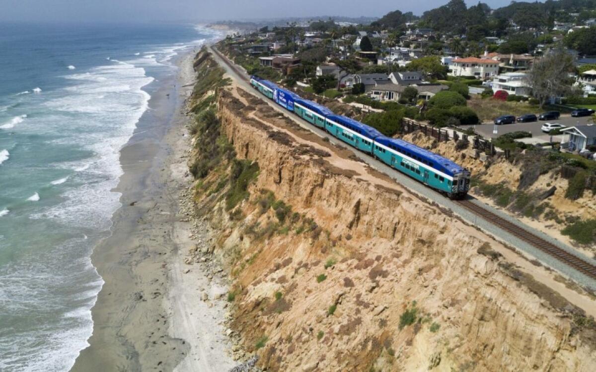
On May 1, 1971, Amtrak began service, operating nearly all intercity passenger trains in the United States.
In California, traveling by car is the most popular way to travel. But the train is the best mode of vacation transportation. Last spring, The Times published seven epic day trips to take by train from Union Station.
Have a great day, from the Essential California team
Ryan Fonseca, reporter
Andrew Campa, Sunday reporter
Kevinisha Walker, multiplatform editor
Christian Orozco, assistant editor
Karim Doumar, head of newsletters
Check our top stories, topics and the latest articles on latimes.com.
Sign up for Essential California
The most important California stories and recommendations in your inbox every morning.
You may occasionally receive promotional content from the Los Angeles Times.


