Storm slams into Northern California with heavy snow and rain, record low pressure

- Share via
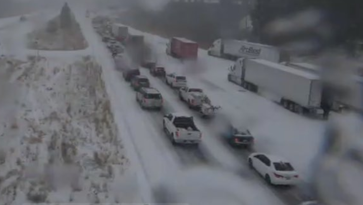
SAN FRANCISCO — The Thanksgiving-week storm hit Northern California on Tuesday, bringing heavy snow and winds that closed Interstate 80 near Lake Tahoe and Interstate 5 near Yreka.
The National Weather Service said snow was falling at the 2,500-foot level in the Sierras and that this was just a preview of worse weather to come.
Snow was also sticking at the 1,000-foot level in parts of Shasta County along Interstate 5. The 5 was closed between Fawndale and Yreka.
Officials urged drivers to stay off roads, if possible.
As the storm moved in, record low pressure was recorded in Crescent City. The weather service said it appears to be the lowest ever recorded in California, based on unofficial records.
“It means that this storm is extremely powerful, though low pressure by itself does not mean this is the ‘worst’ storm impact-wise,” the weather service’s Eureka office said on Twitter. “Other storms in our region have produced higher wind gusts & heavier rain & snowfall, by carrying more moisture, energy, and other factors.”
The cold front, which originated in the Gulf of Alaska, hit the San Francisco area with rain this afternoon. Most areas will see half an inch to 2 inches of rain. The heaviest rainfall will occur between 5 and 10 p.m., according to the National Weather Service.
Forecasters issued a flash flood watch from 2 to 10 p.m. for the portion of northern Sonoma County struck a month ago by the Kincade fire. The blaze charred nearly 78,000 acres and destroyed more than 370 homes.
Meteorologists are warning of moderate to briefly heavy rainfall rates of a half-inch to three-quarters of an inch per hour, bringing the potential for flash flooding, rockslides and debris flows in the burn area. Officials urged residents to monitor weather reports and be prepared to take action if a flash flood warning is issued.
The rain will likely hit the Central Coast by midnight before moving into Los Angeles County by sunrise on Wednesday. The storm is expected to dump one to two inches of precipitation in the coast and valleys, and up to three inches in the foothills and lower elevations of the mountains, said Kristen Stewart, a meteorologist with the National Weather Service in Oxnard.
“There’s likely going to be heavy rain for the morning commute in Los Angeles tomorrow, so people should be prepared for that,” she said.
The storm also brings the potential for debris flows in burn-scarred areas in Southern California, including the San Fernando Valley region affected by the Saddleridge fire and the Easy fire in Simi Valley.
There’s a slight chance of thunderstorms Thursday with brief pockets of heavy rain. Sustained precipitation could cause mudslides in burn areas, the weather service warned.
More to Read
Sign up for Essential California
The most important California stories and recommendations in your inbox every morning.
You may occasionally receive promotional content from the Los Angeles Times.


