Wildfire burns at California-Nevada border, spawning fire tornadoes, torching desert landscape

- Share via
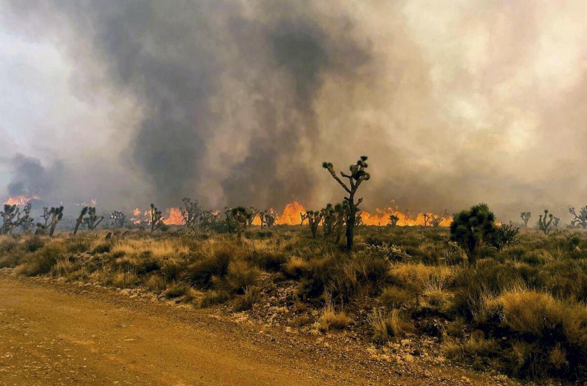
The 70,000-acre wildfire that started in California’s Mojave National Preserve before sweeping across the border into Nevada remained 0% contained Sunday night as firefighters faced dangerous “fire whirls” — a product of intense heat and turbulent winds, officials said.
Firefighters struggled Sunday to slow the blaze, which was rampaging across a Mojave Desert landscape that is a vast, delicate and vital ecosystem rich in wildlife — tortoises, foxes, badgers, bobcats, bighorn sheep — and Joshua trees, and the animals and plants are vulnerable to wildfires.
Earlier this year, heavy rains triggered explosive growth of grasses throughout Southern California’s desert regions. Feeding off nitrogen-laden smog wafting in from the Los Angeles area, the grasses left Joshua tree forests vulnerable to large-scale brush fires.

“Miles upon miles of invasive grasses are like flash paper in the understory of the Mojave Desert,” Frazier Haney, executive director of the Wildlands Conservancy, told The Times on Sunday.
“A wildfire like this one can, in a matter of minutes, wipe out a remarkable diversity of species created by nature over tens of thousands of years,” Haney said.
In 2020, the Dome fire killed as many as 1.3 million plants across more than 40,000 acres of California desert, including a large portion of Mojave National Preserve.
For the York fire, gusting, erratic winds have complicated the firefight.
The wildfire was creating spinning vortexes of flame and smoke, known as fire whirls or fire tornadoes, federal officials said: “They have the potential to spread embers over long distances and can start new fires ahead of the main fire front. Additional fire whirls can change direction suddenly, making them unpredictable and difficult to anticipate.”
Showers and thunderstorms in the area of the fire were also causing “sudden, erratic winds,” according to Ashley Nickerson, a meteorologist with the National Weather Service in Las Vegas. “That makes it really hard to contain a fire.”
Nickerson said the difficult conditions were not expected to let up over the next couple of days as the winds continued with gusts of 20 to 30 mph and moisture increased, bringing the possibility of more thunderstorms.
Despite the size of the fire and lack of containment, officials said there were no plans as of about 7 p.m. Sunday to issue evacuation orders for residential areas, including Nipton and Searchlight. “The fire ... remains some distance from these areas,” Clark County officials tweeted, “and [Clark County Fire Department] continues to coordinate response and resources with partner agencies.”
The blaze started in federal lands in Mojave National Preserve and was first observed Friday burning near Caruthers Canyon, said Stephanie Bishop, a National Park Service public information officer and spokesperson for the York fire. The cause of the blaze has not yet been determined, Bishop said.
Clark County advised the public to avoid State Route 164.
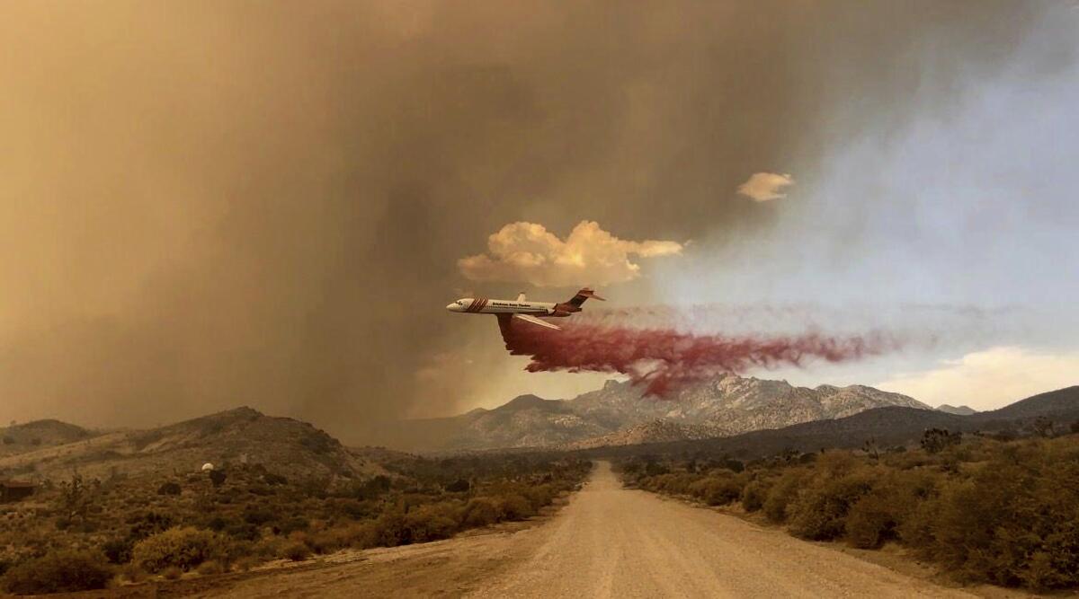
The National Park Service, Bureau of Land Management, San Bernardino County Fire Protection District and Clark County Fire Department were providing resources to support suppression efforts, which included air and ground crews. Officials said there were more than 200 personnel fighting the blaze.
In Riverside County, the Bonny fire was at 2,206 acres and 10% containment as of Sunday night. Multiple homes were threatened by the fire, which ignited Thursday afternoon near the community of Aguanga, southeast of Temecula.
Evacuation orders were in effect for north of the San Diego County border; east of Bonny Lane; south of Bowers, Bailey and Ramsey roads; and west of Anza Borrego State Park.
Times staff writer Ian James contributed to this report.
More to Read
Sign up for Essential California
The most important California stories and recommendations in your inbox every morning.
You may occasionally receive promotional content from the Los Angeles Times.


