Atmospheric river inundates roads, forces water rescues across SoCal. The next storm looks worse
- Share via
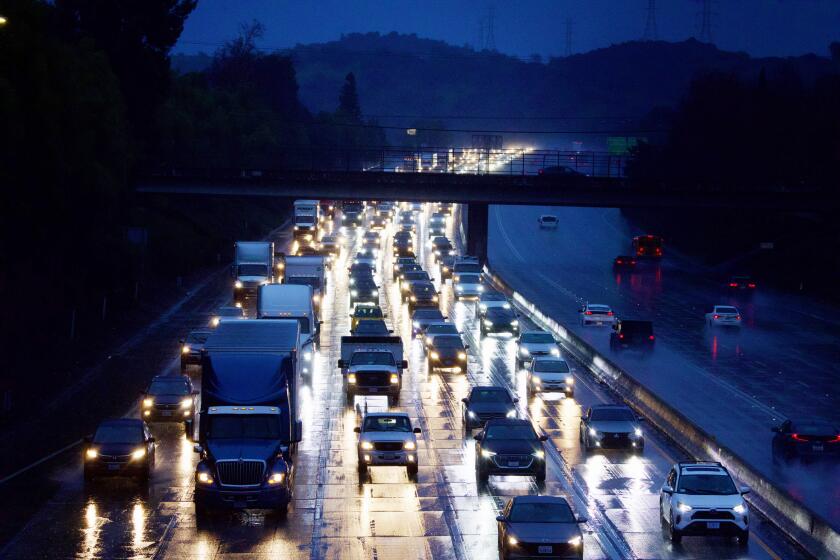
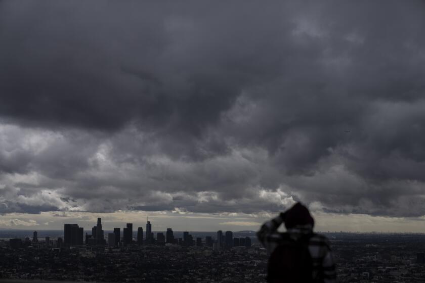
Heavy rain from a major atmospheric river storm moved across Southern California on Thursday, causing significant flooding and road closures — as well as several water rescues.
Even before the storm system had moved on, however, officials were shifting attention to another one tracking not far behind, expected to bring even more intense and sustained precipitation.
“There has been some flooding from today’s storm across parts of SoCal, especially in/near Long Beach, but the [next] system has *much greater* potential for more widespread and more serious flooding/debris flows,” Daniel Swain, a UCLA climate scientist and meteorologist, wrote in a post on X. That second storm continues to develop in the Pacific, but the National Weather Service’s latest forecasts show it bringing more rain and wind to the Los Angeles area likely by this weekend, with the potential to cause life-threatening flooding.
Forecasters say that coming system could be slower-moving — enabling it to dump larger amounts of rain on certain areas — than Thursday’s storm, which moved at a relatively fast clip, making its effects less dramatic.
Still, the initial moisture-heavy system forged a trail of wet, windy weather from the Oregon border down to Tijuana, hitting Northern California on Wednesday with significant rain and snow — including some historic rainfall amounts — that left minor roadway flooding, downed trees and some power outages.
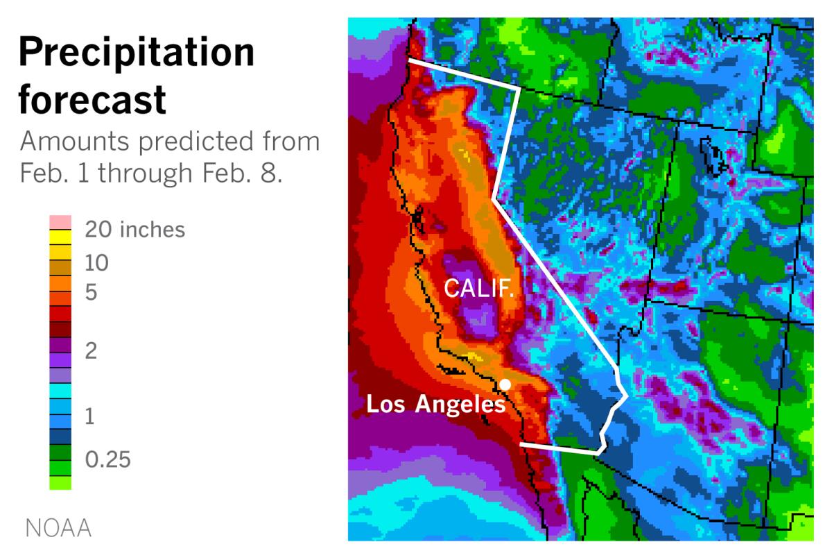
The National Weather Service predicts that two atmospheric-river-fueled storms will bring 2.3 to 10.2 inches of rain to the region.
That storm started battering the Southland on Thursday morning, with heavy downpours causing widespread flooding across Ventura, Los Angeles, Orange and San Diego counties, particularly in Long Beach and the Palos Verdes Peninsula.
A handful of rainfall records for the date were broken across the southwestern part of the state on Thursday, according to preliminary totals from the National Weather Service. Among the super-soaked areas were Los Angeles International Airport, where 2.37 inches fell; Long Beach Airport, which received 2.43 inches; Santa Barbara Airport, 2.93 inches; Sandberg, 1.8 inches; and Lancaster, 0.52 inches.
Inundated roads clogged the morning commute, closing southbound lanes of the 710 Freeway at Pacific Coast Highway in Long Beach and a portion of PCH at the McClure Tunnel in Santa Monica. In Huntington Beach, a three-mile stretch of PCH was also shut down by flooding.
Almost seven miles of Palos Verdes Drive South from Hawthorne Boulevard to Palos Verdes Drive East closed for a few hours because of flooding and a mudslide that left debris and mud across the roadway, with authorities urging residents to “shelter in place until the heavy rain passes.”
Knott’s Berry Farm closed for inclement weather, as did SeaWorld San Diego and several local parks.
In Hollywood Hills, a tree fell onto Cahuenga Boulevard near the 101 Freeway, hitting a moving vehicle, but LAPD spokesperson Officer Charles Miller said no injuries were reported. In Costa Mesa, Orange County firefighters rescued a man who became trapped in fast-moving waters in a storm channel.
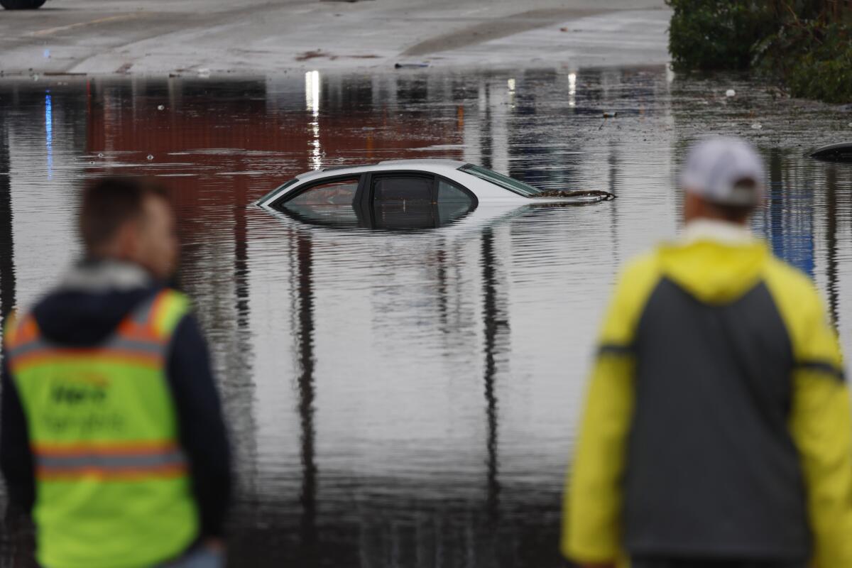
In Long Beach, many streets across the city took on inches, if not feet, of water, submerging vehicles and necessitating rescues. Along a stretch of roadway in the western, industrial portion of the city where many homeless people live in cars, RVs, trucks and vans, the water reached the base of many parked vehicles’ doors.
Nearby, Bill Deaver stood next to a shopping cart with bags full recyclables. He said the area is known for flooding, but it was the first time in the two years that he’s lived there that he had seen the water go past his ankles.
“It’s really bad,” Deaver, 49, said.
Not far away, Franklin Capítulo stared at his sunken silver 2003 BMW, one of three vehicles submerged beneath a railroad bridge near the Highway 103 onramp.
Capítulo, 54, said he got off work in Torrance around 7 a.m. and was heading home when he started to drive under the bridge. The rain made it difficult to see, but he noticed other vehicles around him, so he thought it would be safe to proceed.
“I started to feel my shoes get wet, then my pants,” he said. “That’s when I realized I may need help.”
The water prevented him from opening the door, he said, so he waited about 20 minutes for firefighters to pull him out of his car. At least two other drivers were also rescued from their vehicles.
Asked how far he was from his destination, Capítulo said: “Two blocks, I was almost home.”
A major atmospheric river storm is bringing heavy rain, strong wind and significant snowfall across California.
The storm moved south into the San Diego area by late morning, but officials there said it caused only minor disruptions, paling in comparison to last week’s historic rains that caused devastating flash floods in the downtown area. Before this storm arrived, San Diego officials had issued an evacuation warning for communities in the Chollas Creek watershed, including neighborhoods affected by the recent flash flooding, and although the city reported several roads flooded or closed, the day was overwhelmingly quiet.
“The rainfall was much less heavy than anticipated, but Monday threatens to bring much more, so we continue to be on high alert,” said Rachel Liang, a spokesperson for San Diego’s mayoral office.
Mayor Todd Gloria said the evacuation warning could be lifted by Friday morning but called for continued vigilance: “We are not out of the woods yet.
“We don’t know what Mother Nature has in store for us,” he said during a briefing Thursday evening, “so we’re going to continue to be proactive, prepared,”
However, effects from this storm would probably linger through Saturday, with a flood watch issued through Friday morning across the Orange and San Diego county coasts, valleys and deserts and into Riverside and San Bernardino counties.
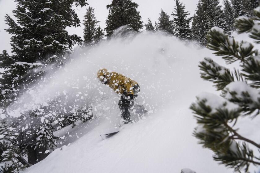
A winter storm warning also remains in effect for the mountains of Los Angeles, Riverside and San Bernardino counties through Friday morning, with the highest elevations expected to get up to 24 inches of snow. A dusting to a few inches of powder is possible as low as 4,500 feet as temperatures fall, and snow is possible in lower elevations early Friday.
Forecasters warn that “travel may be difficult to impossible” in the mountains, including along the 5 Freeway corridor; transportation officials said tire chains would be required for drivers in the mountain communities.
High surf is expected to bring waves up to 12 feet along the beaches of Ventura, Los Angeles, Orange and San Diego counties through Saturday, and rip currents will make any ocean activities dangerous, the weather service warned.
There won’t be much of a break until the next system moves in.
Hurricane Hilary is moving toward Southern California. Here’s how to prepare and stay safe before and during the storm, heavy rain and potential flooding.
The latest forecasts show the next atmospheric river storm hitting the L.A. area as early as Saturday night, with the brunt of the rain, snow and wind expected Sunday and Monday, said Ryan Kittell, a meteorologist with the National Weather Service in Oxnard.
“There’s still a growing potential for many hours of moderate to heavy rain and an increasing risk for life-threatening and damaging flooding,” he said.
Thursday’s rainfall totaled 1 to 3 inches across the region, though some areas received up to 5 inches, Kittell said. But the next system could bring almost double that, with 3 to 6 inches of widespread rain expected, and up to 12 inches in the mountains.
Ahead of the rains Wednesday, the state activated its Emergency Operations Center, prepositioning personnel, emergency responders and equipment for water rescues, clearing roads and restoring power, bracing for an extended wet, active weather pattern. Last winter, many regions — primarily in Northern California — were caught off guard by a series of atmospheric rivers that inundated many regions, overwhelming levees and leaving more than 20 dead.
Fire crews, swift water rescue teams and other first responders have been moving into place throughout the state in preparation for the storms.
Kittell said that after the second storm, a third will probably follow. Though it’s not expected to be particularly strong, it could present further challenges, he said.
“Based on what we’re expecting for the next storm, really any additional rainfall could cause issues,” Kittell said. “The potential is growing for a very significant storm.”
Times staff writer Luke Money contributed to this report.
More to Read
Sign up for Essential California
The most important California stories and recommendations in your inbox every morning.
You may occasionally receive promotional content from the Los Angeles Times.
