All hail our wacky weather: Strange spring storms bring pea-size pellets to Southern California

- Share via
Frozen rain in May has some Southern California residents wondering: What the hail?
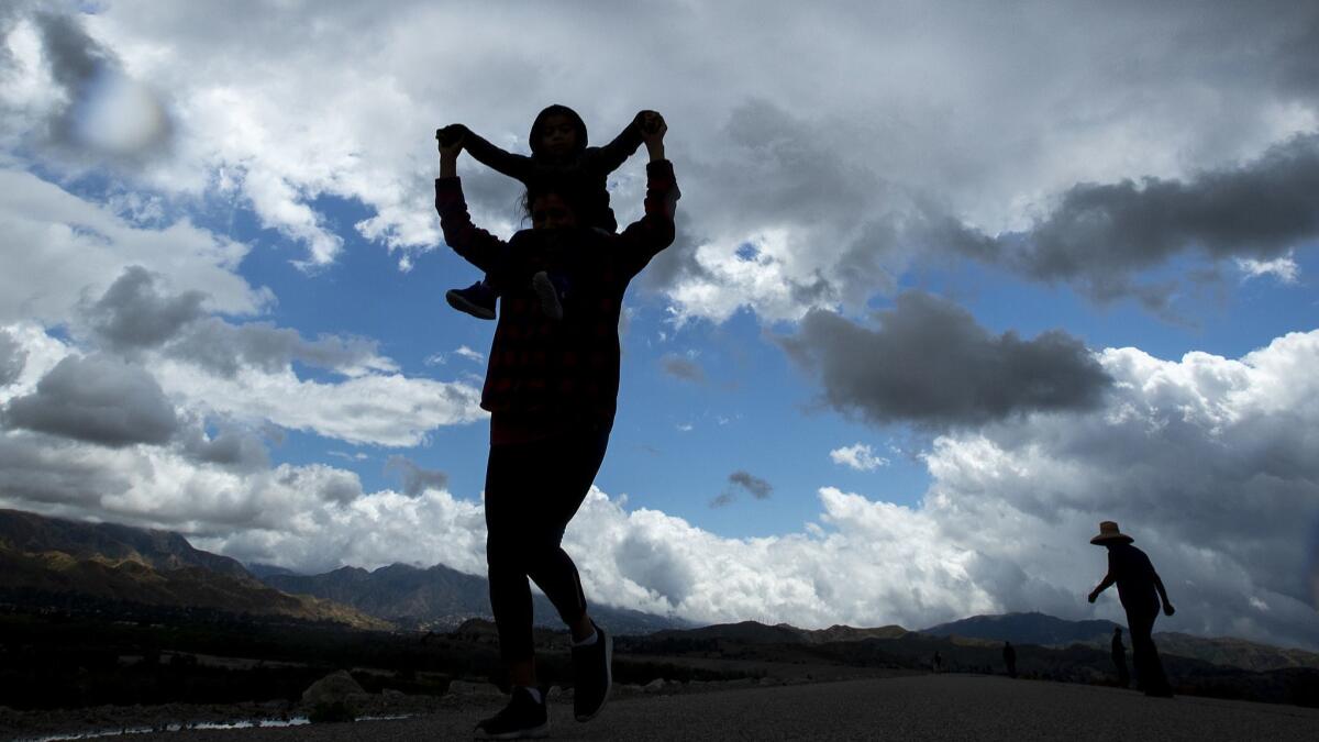
An unseasonably late spring storm that rolled into the region Wednesday brought pea-sized pellets of hail and thunderstorms to several communities, including Ontario and Yucaipa in San Bernardino County, according to the National Weather Service.
Tiny bits of hail also littered lawns and residential streets in South Pasadena as a chilly low-pressure system moved into the area.
Samantha Connolly, a meteorologist with the National Weather Service in San Diego, said while hail isn’t uncommon in Southern California, it’s certainly unusual for this time of year.
“This is a very late-season storm,” she said. “These storms coming in from the north are pretty cold, which creates conditions that allows hail to form.”
Hail forms when strong thunderstorm updrafts carry water droplets above the freezing level. The freezing process forms a hailstone, and eventually the stone becomes too heavy for the updrafts and it falls to the ground.
The forecast this month has been a doozy in California with rain, hail and snow falling across much of the Golden State two months after the end of winter.
Large swaths of the state, including parts of Los Angeles, have seen two to five times more precipitation than is normal for this point in May, according to the weather service.
The unusual rainfall amounts have been enough to break records in some parts of the state.
A weekend storm broke a 130-year-old tally for May rainfall in downtown Sacramento. By Sunday — with 12 days left in the month and more rain in the forecast — the downtown area had received 3.28 inches of rain, surpassing the previous monthly record of 3.25 inches set in 1889.
A storm last week broke at least half a dozen daily rainfall records for the date in Los Angeles, Orange and San Diego counties. Unlike the capital, though, those areas aren’t close to breaking monthly precipitation records — even with new showers on the way — data show.
Downtown L.A. is ahead of its normal rainfall pace. So far this month, 0.74 inches of rain have fallen in the area, which typically sees an average of 0.26 inches in May. This makes it the 18th-wettest May on record, so far, according to precipitation data.
Los Angeles International Airport has received 0.56 inches of rain this month, making it the eighth-wettest May on record, data show. The rainiest May at the airport was in 1977, when it received 2.55 inches.
This latest storm, which is expected to linger through Thursday morning, likely won’t amount to much precipitation along the coast or in the valleys. However, higher elevations could see more significant rainfall, Connolly said.
Twitter: @Hannahnfry
More to Read
Sign up for Essential California
The most important California stories and recommendations in your inbox every morning.
You may occasionally receive promotional content from the Los Angeles Times.


