Jerry Brown: Earthquakes ‘just around the corner,’ fault maps needed

- Share via
Gov. Jerry Brown vowed to increase funding to map California earthquake faults, calling the effort an important public safety measure.
“We’ll do whatever it takes. And the people of L.A. should be cautious because earthquakes are just around the corner,” Brown said at a news conference on Thursday.
Budget cuts stalled the state’s efforts to zone earthquake faults across California, including the well-known Hollywood and Santa Monica faults in the Los Angeles area. The Times found that without state zoning, numerous buildings were approved for construction on or near the faults without extensive seismic review.
LIVE CHAT at 9 a.m.: How earthquake fault maps affect L.A. development
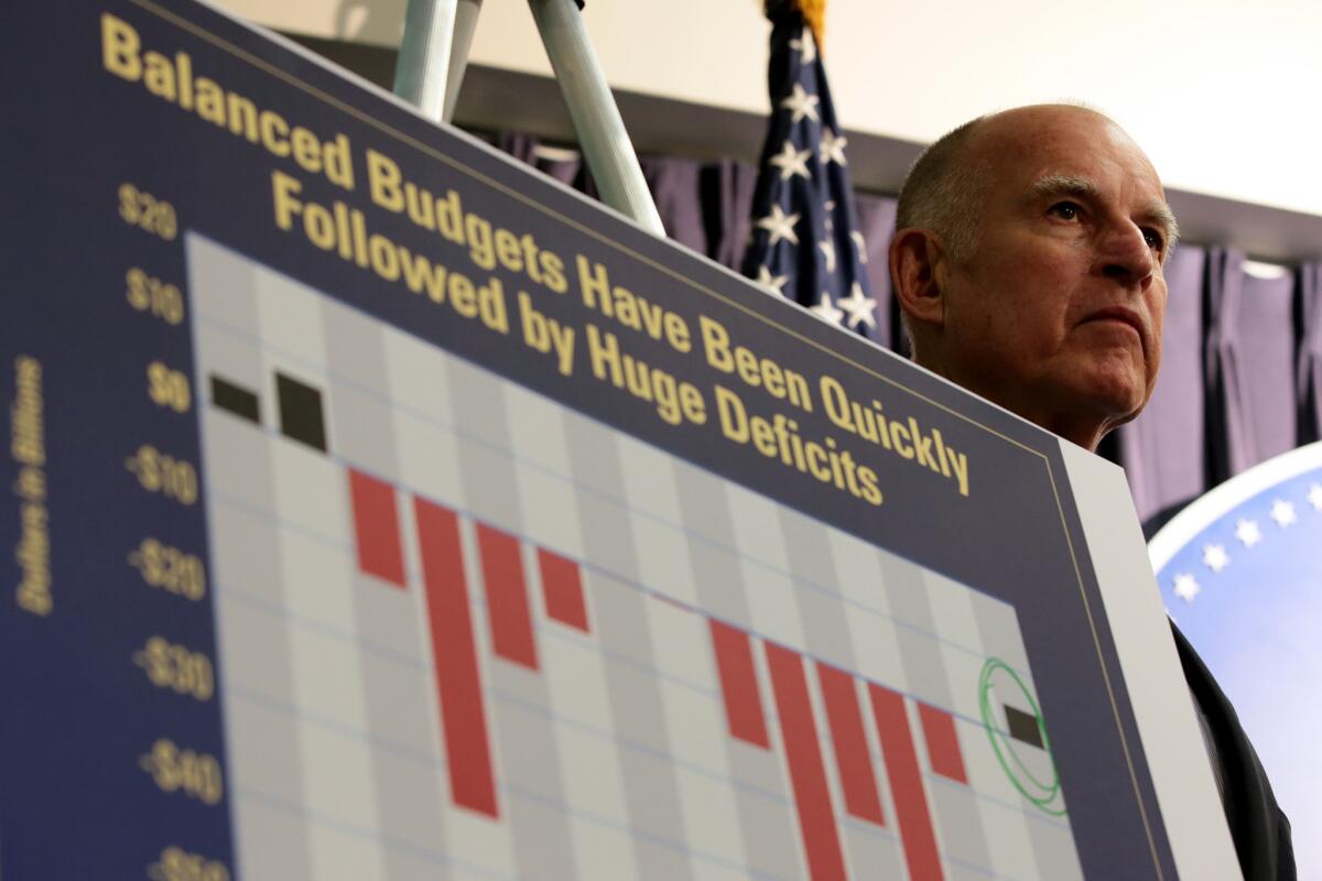
“We’re gonna map these things. It is a problem. It’s serious,” Brown told reporters at a downtown Los Angeles news conference, where he unveiled his proposed budget. “There’s a better than 50-50 chance that we’ll have a catastrophic earthquake in California that will kill thousands of people and be enormously fiscally devastating.”
The governor is seeking enough money from lawmakers to increase the number of scientists to draw earthquake zones from one to four — a staffing number not seen in about 20 years.
Brown’s plan calls for $1.49 million in new funding specifically for fault mapping for the next fiscal year. It also asks for $1.33 million in annual dedicated funding in future years, which would be paid for with increased building permit fees. There is currently no dedicated fund set aside to map faults.
Currently, building permit fees are set at $10 per $100,000 for residential construction, and $21 per $100,000 of other construction. Officials propose increasing those fees by about 30%.
The governor’s budget proposal also includes money to permit state scientists to have better technological tools to locate faults in areas where clues are obscured by trees, buildings and roads.
The governor’s budget plan was announced a day after the state geologist released a long-awaited draft map of the Hollywood fault zone. It showed the approximate location of the fault line going underneath a project now under construction — the $200-million retail and residential development, Blvd6200 — as well as underneath the proposed Millennium Hollywood skyscraper project, approved by the Los Angeles City Council in a 13-0 vote last summer.
The developers of both projects have said that they have no geological evidence a fault is underneath their properties.
Information about the Hollywood fault’s location has been available since at least 1997, when a new map was published by scientists. But budget cuts stalled the state’s mapping of the fissure until last fall.
The slow pace of mapping affects public safety and creates confusion about where the faults are. Without the state zones, communities across the state are left with limited information about the seismic risks of new development.
State lawmakers banned the construction of buildings astride faults after the Sylmar earthquake in 1971, when homes on top of the San Fernando fault were ripped apart when one side of the fault slid past the other. That movement split the foundations of buildings in half.
But the law cannot be enforced unless the state completes the maps, which tells developers and cities the general location of the fault. Anyone seeking to develop land in that zone is required to do intensive seismic study and prove they’re not building on top of a fault.
State officials were aggressive about mapping faults in the first two decades of the law, creating more than 500 maps. But in the last two decades, only about 20 have been drawn — and about 300 are still to be done.
The mapping program “is a very valuable program for California’s public safety. Anything that helps promote that is good in our eyes,” said Tim McCrink, head of the state’s Alquist-Priolo Earthquake Fault Zoning Act program.
Besides the Westside of Los Angeles, about 2,000 more miles of faults still need to be zoned, in places such as Orange County, the San Gabriel Valley, Lake Tahoe and the San Diego and San Francisco bay areas.
State Sen. Ted Lieu (D-Torrance), who had urged lawmakers to allocate more money for fault mapping, welcomed the governor’s proposal.
“I’m very pleased,” Lieu said. “It certainly is a good start.”
His remarks came after a Times investigation published last week found that Los Angeles and Santa Monica approved more than a dozen construction projects on or near two well-known earthquake faults without requiring seismic studies to determine if the buildings could be destroyed in an earthquake.
“We need to make sure that no future buildings are going to be built on fault lines simply because a map wasn’t updated,” Lieu said.
The state geologist’s budget has dropped from $9.1 million in 2001 to $2.9 million for the current fiscal year.
If approved, the governor’s budget would permit the state to work on the Santa Monica fault this year, which is next on the state geologist’s priority list.
ALSO:
L.A. officials missed possible sign of quake fault in Hollywood
Quake danger: Lawmaker calls on state to boost funding for fault maps
A Times investigation: L.A., Santa Monica buildings may sit atop quake faults
Twitter: @ronlin | @rosannaxia | @LATDoug
More to Read
Sign up for Essential California
The most important California stories and recommendations in your inbox every morning.
You may occasionally receive promotional content from the Los Angeles Times.


