More rain forecast Monday as third Alaskan storm takes aim at L.A.
- Share via
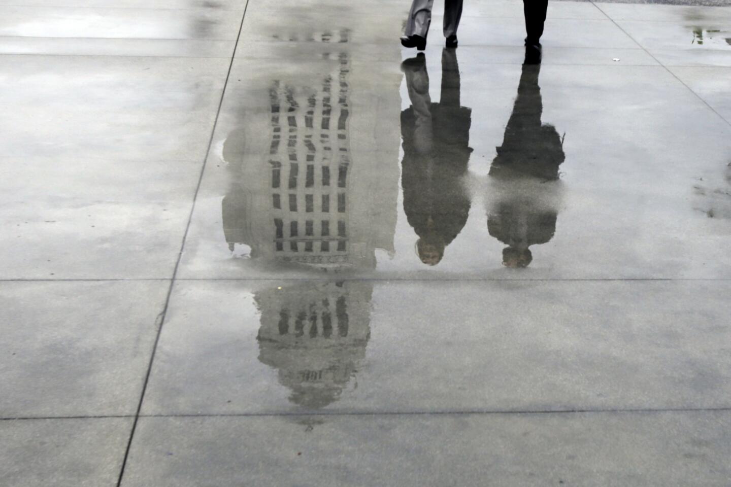
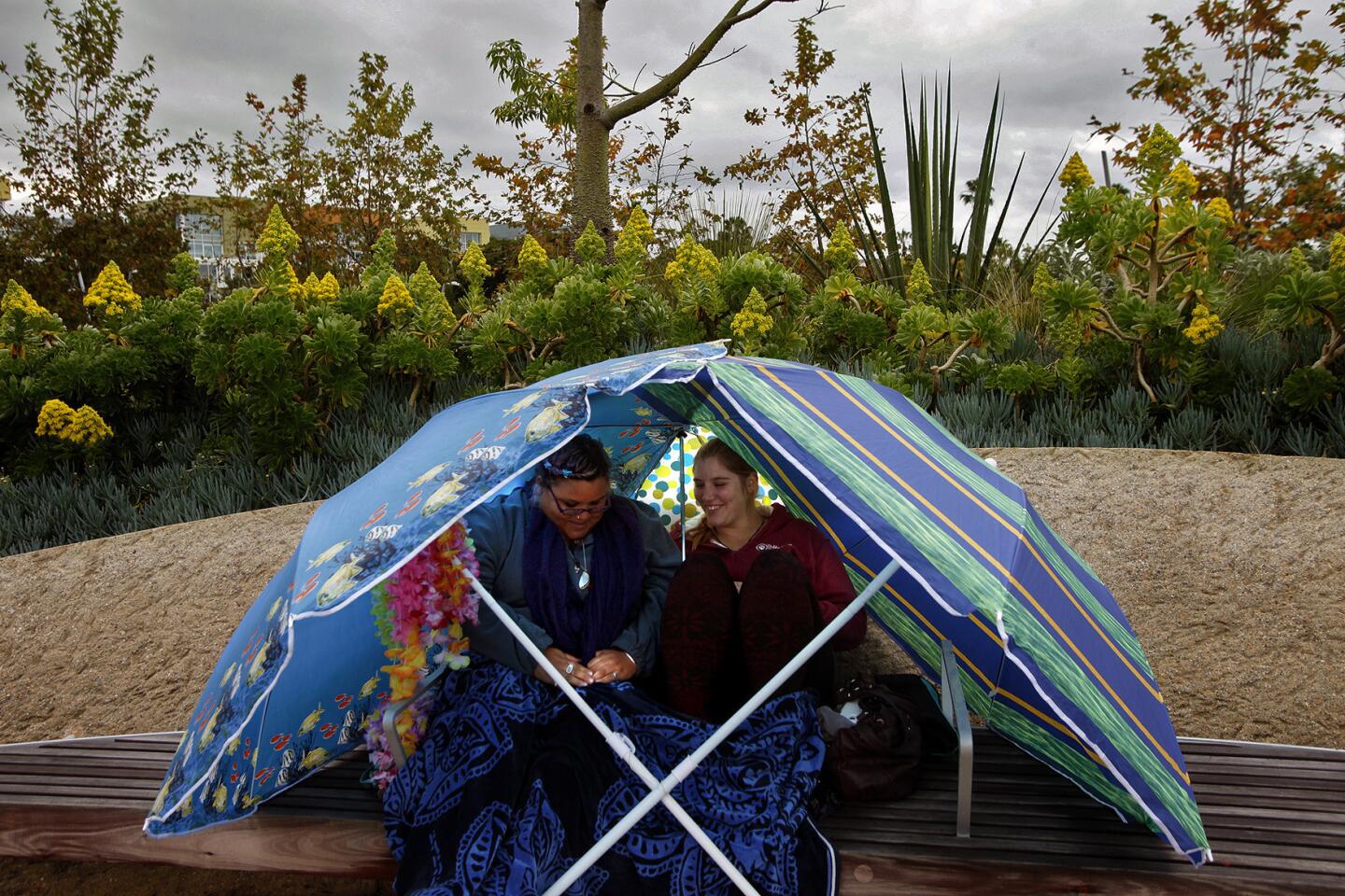
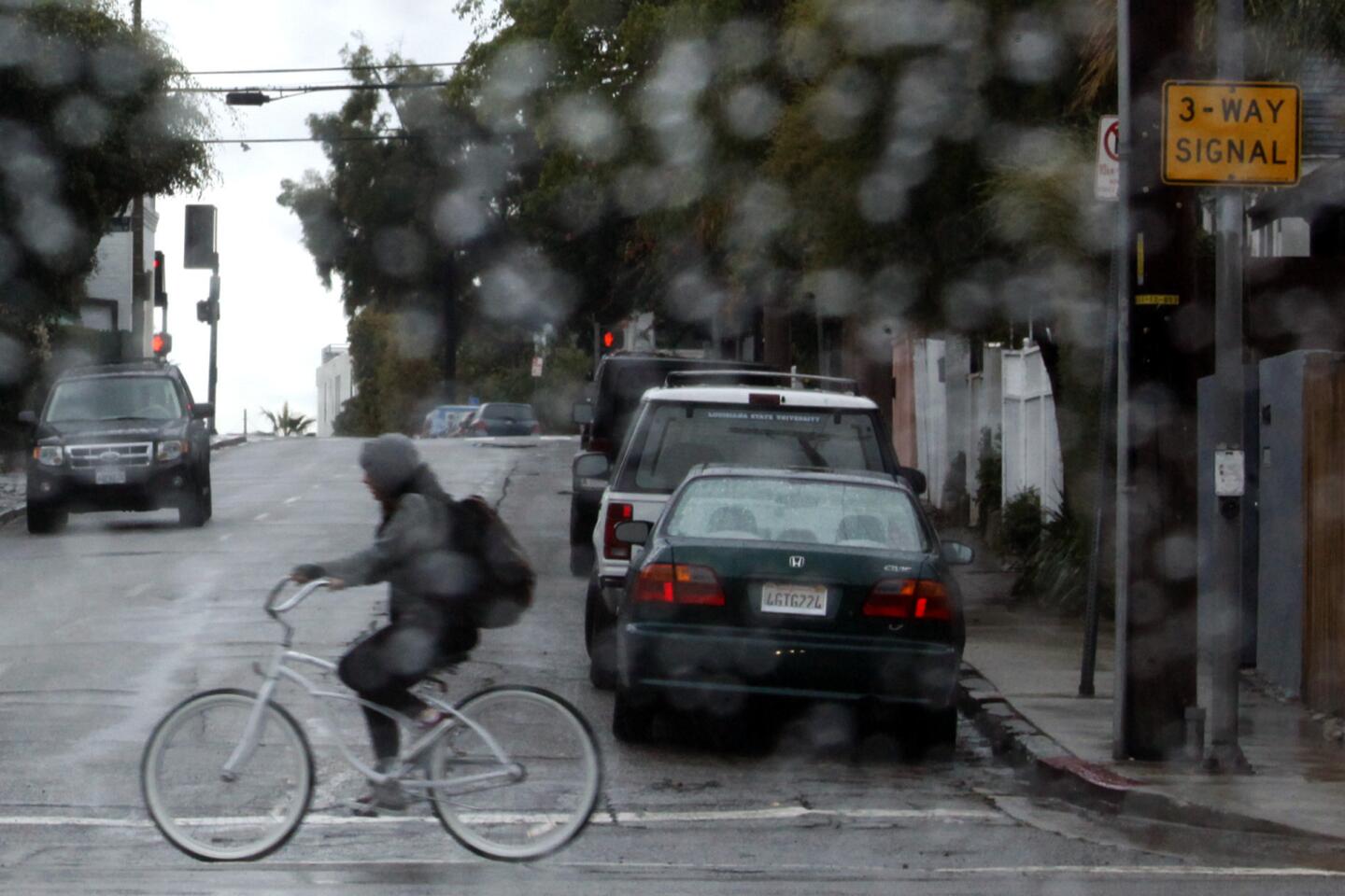
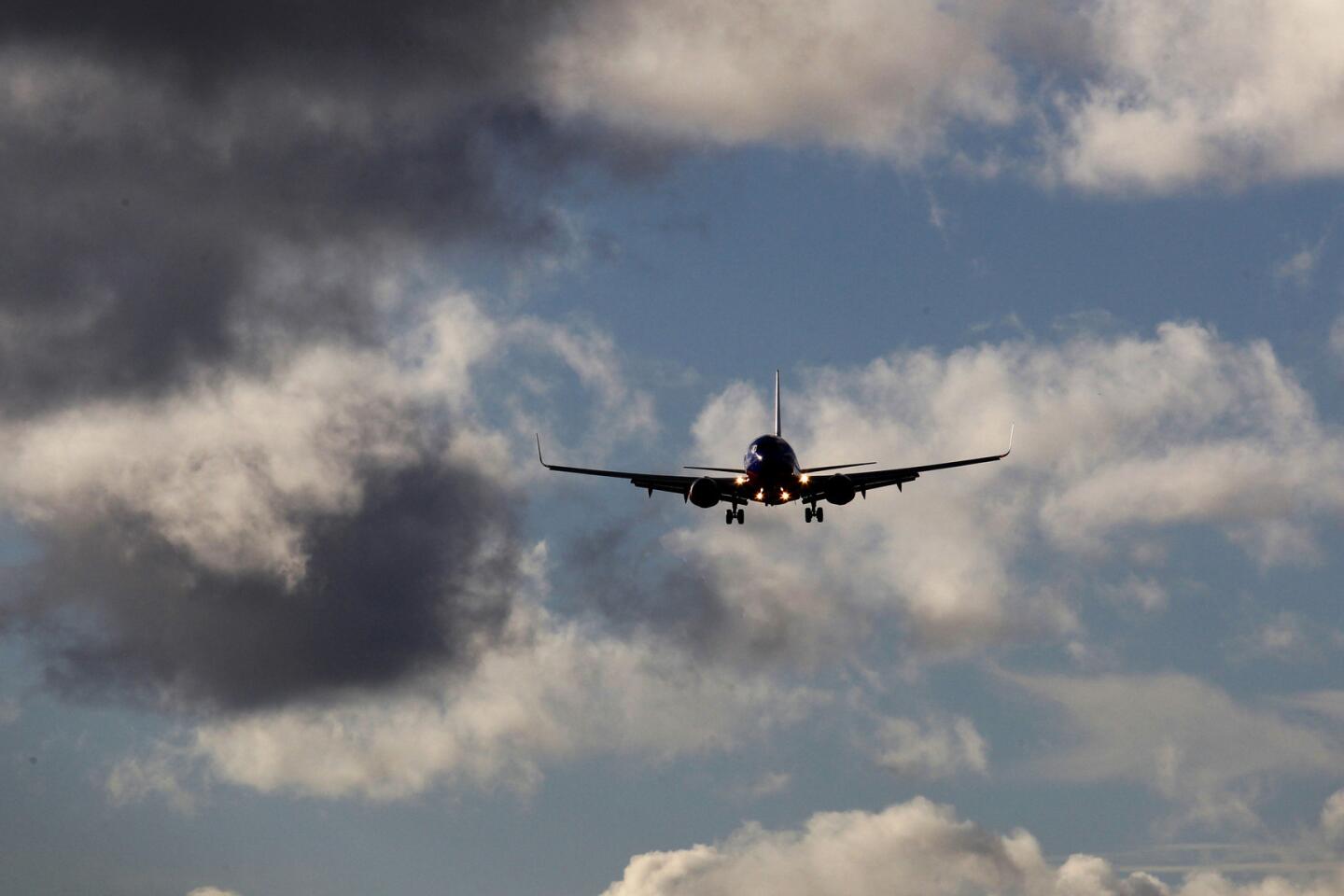
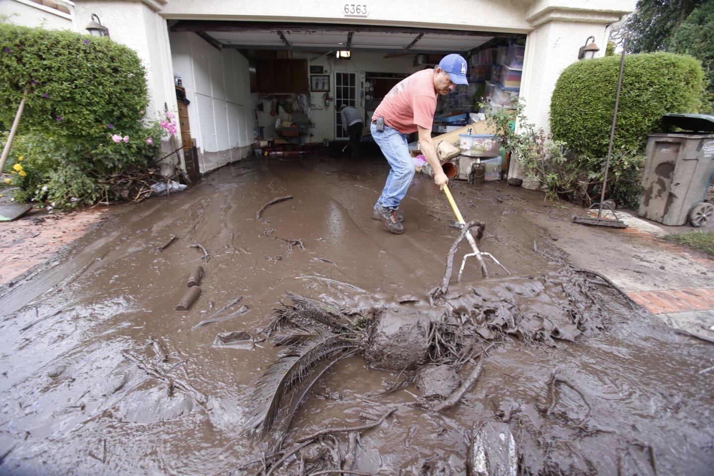
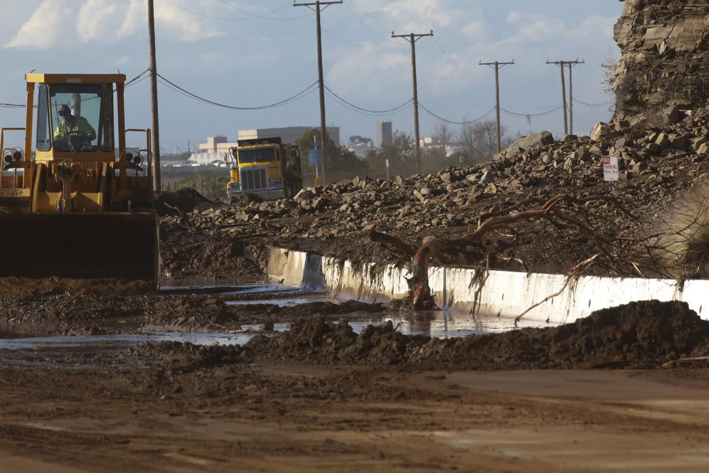
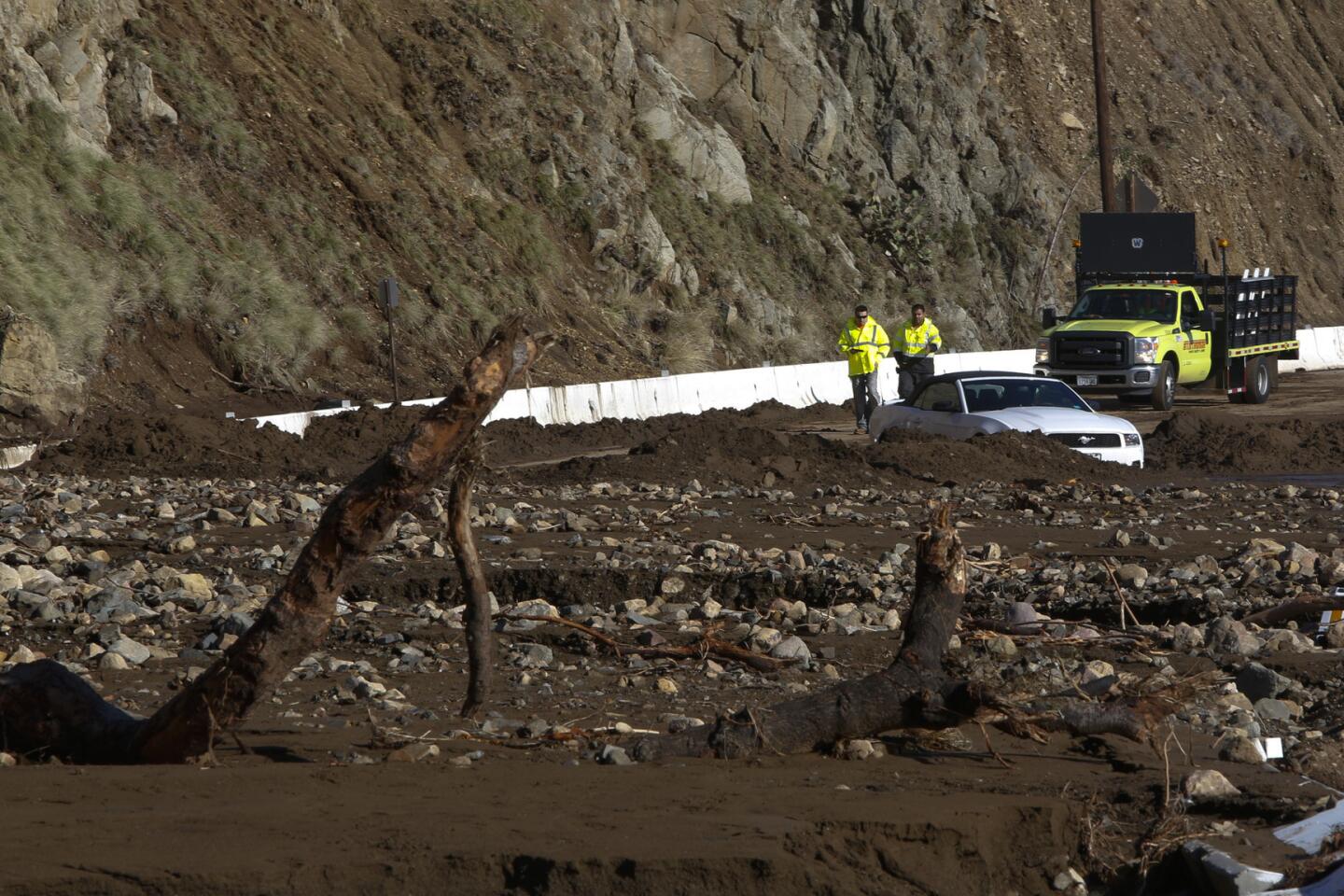
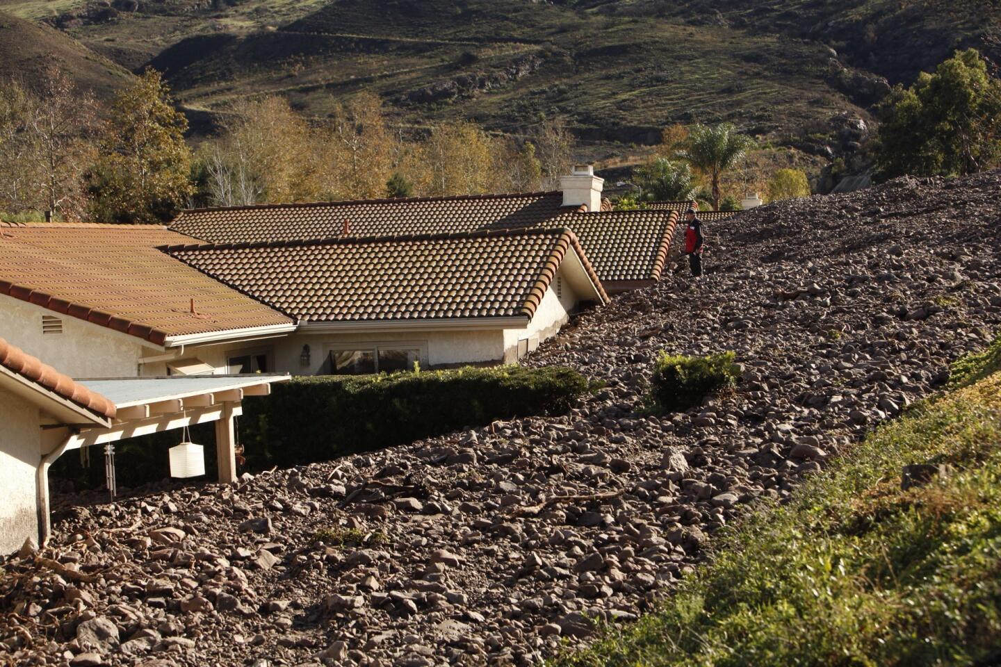
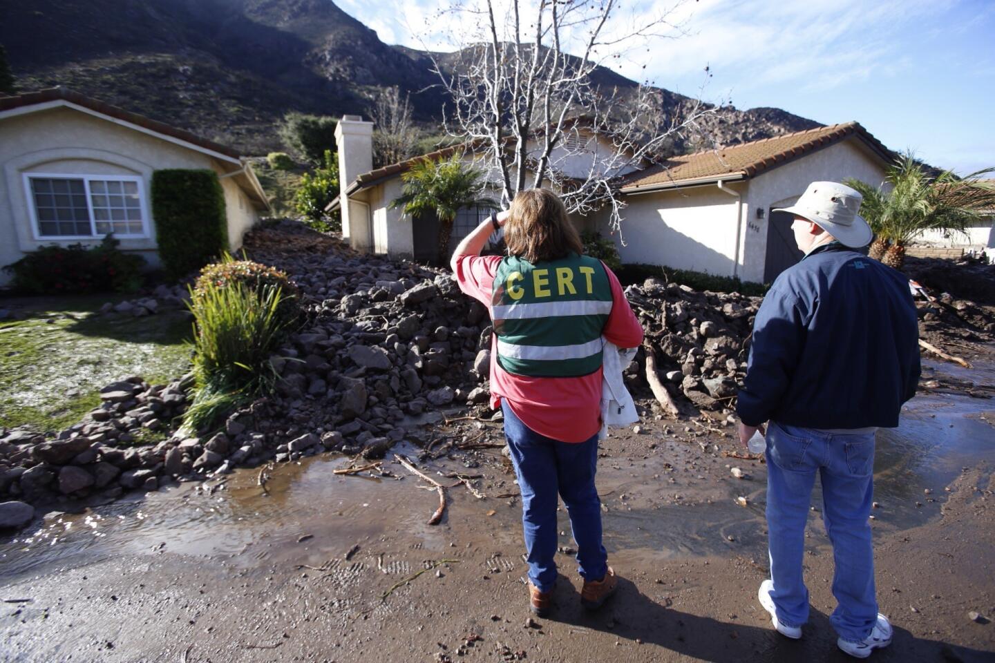
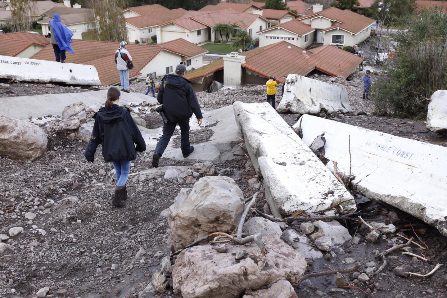
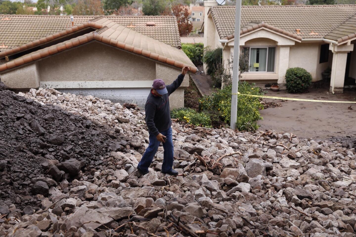
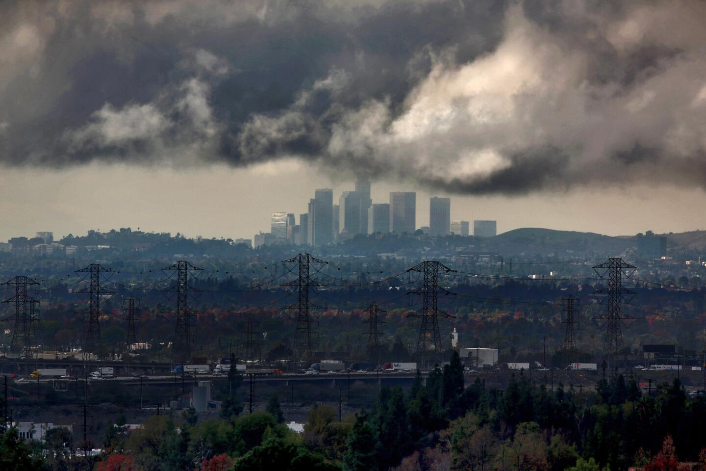
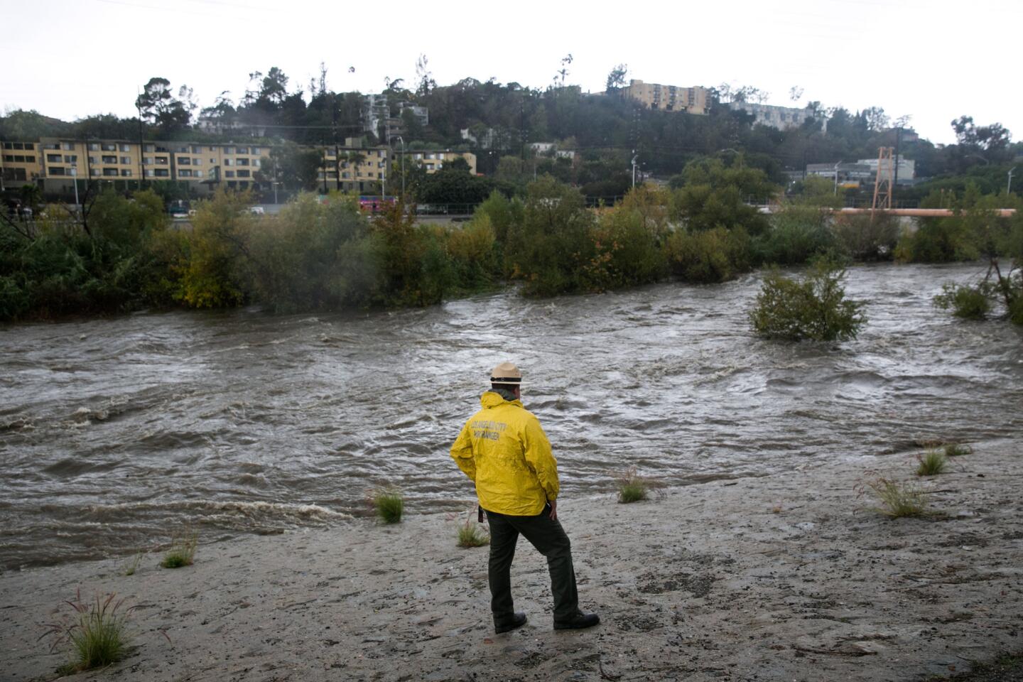
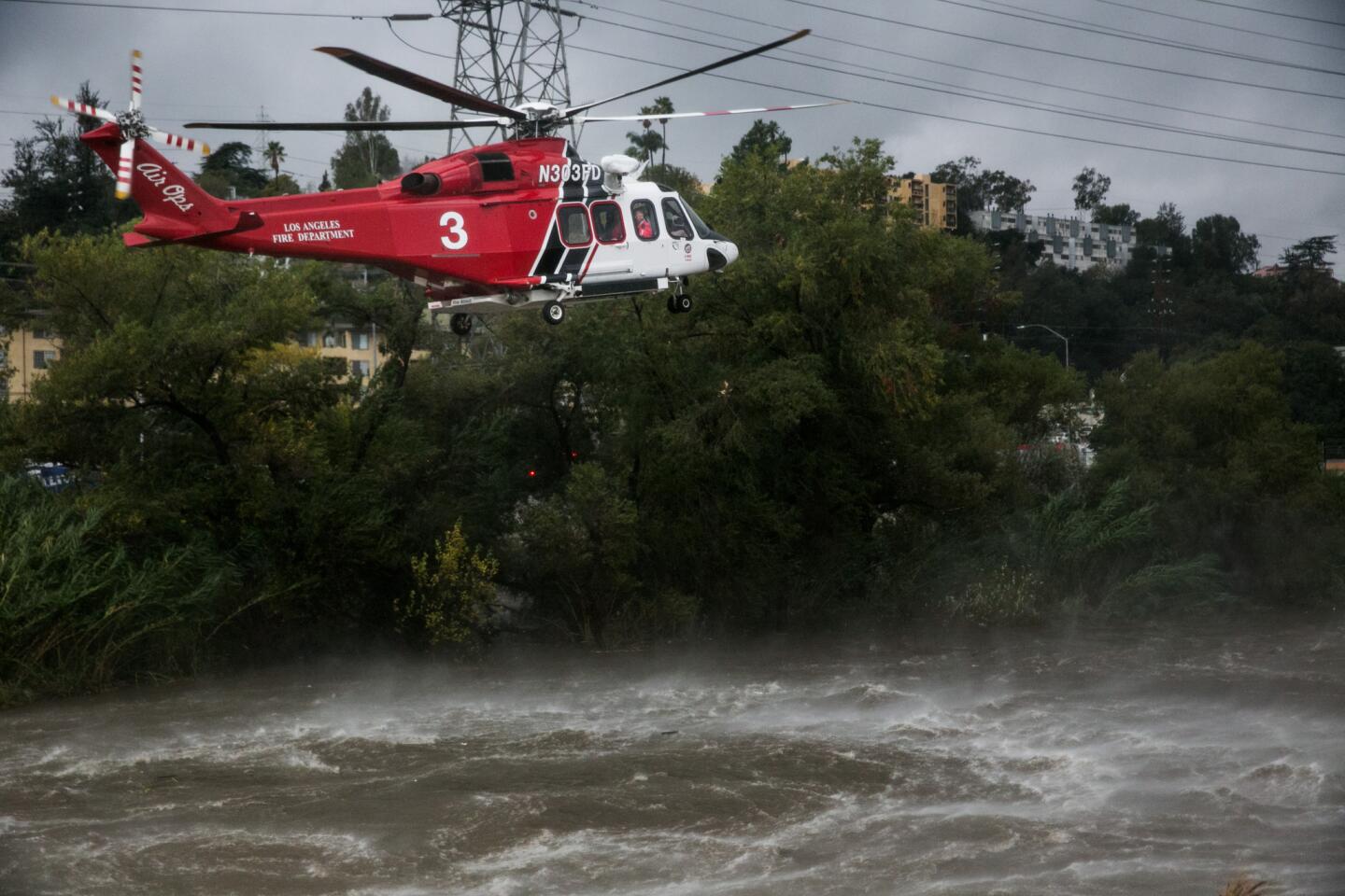
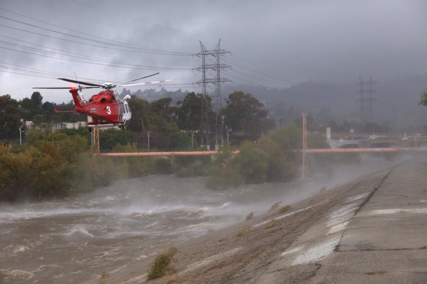
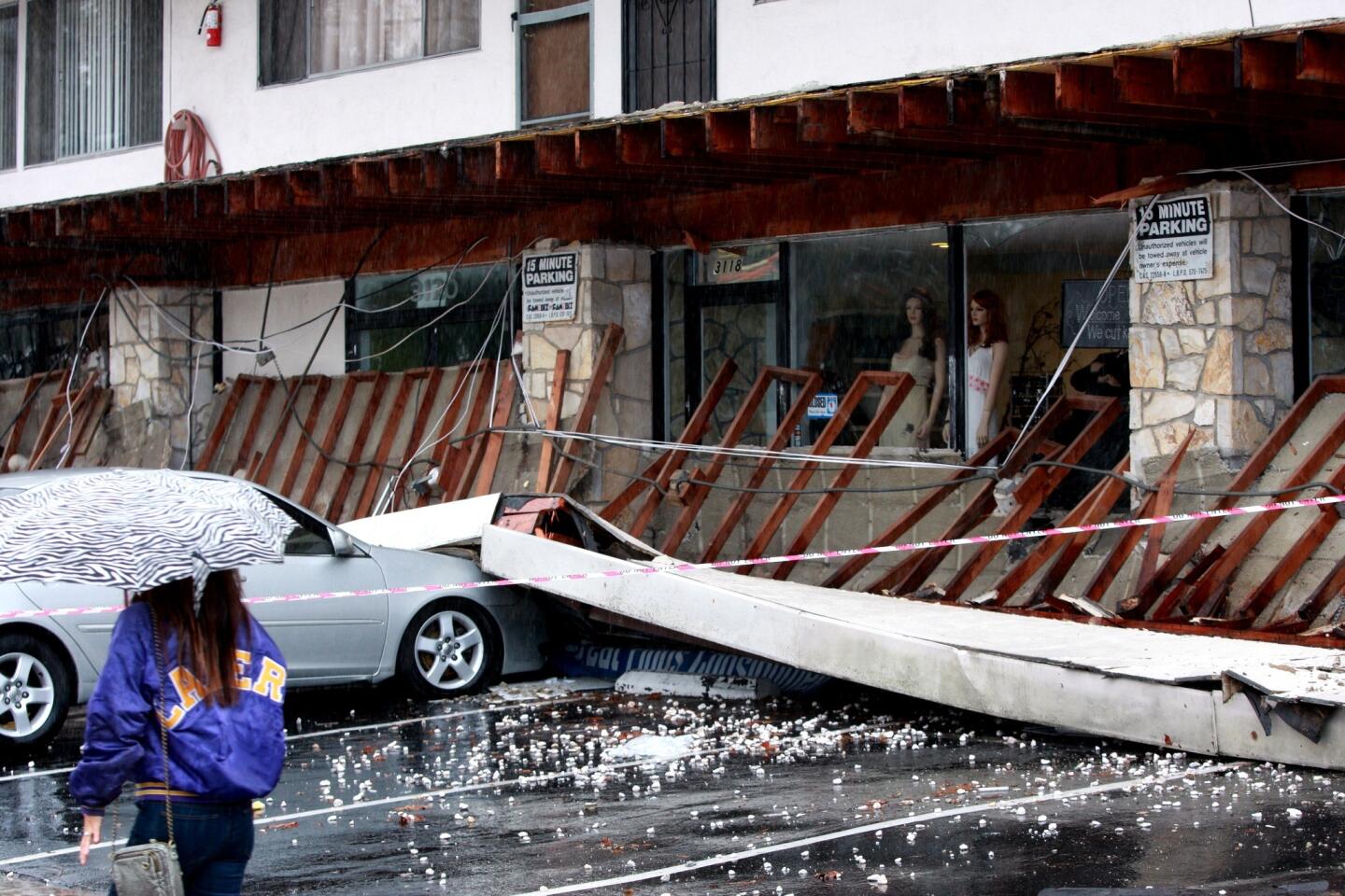
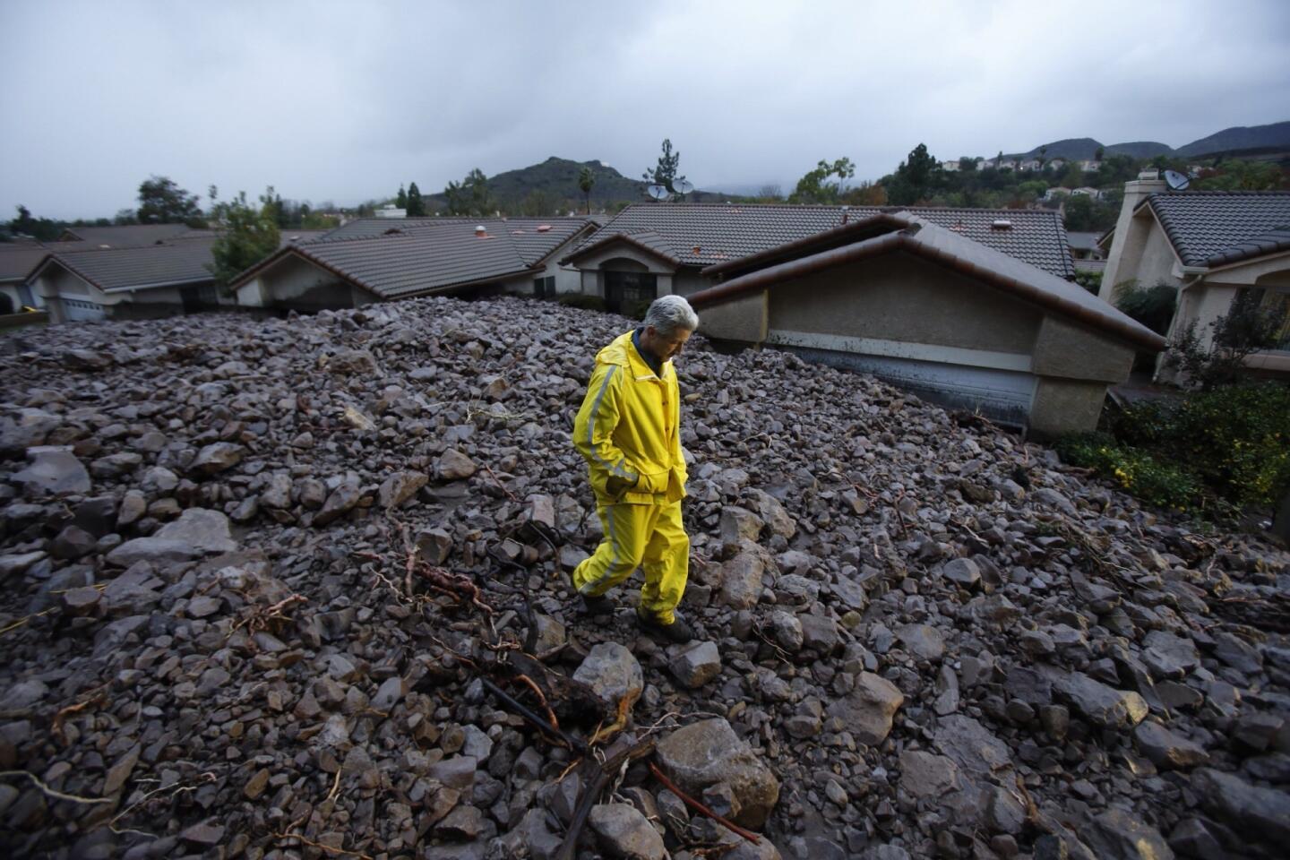
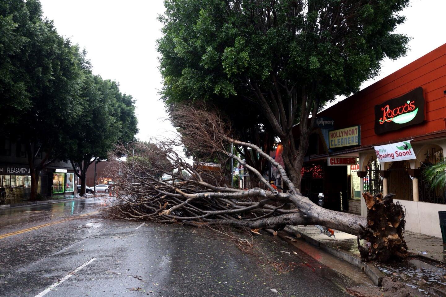
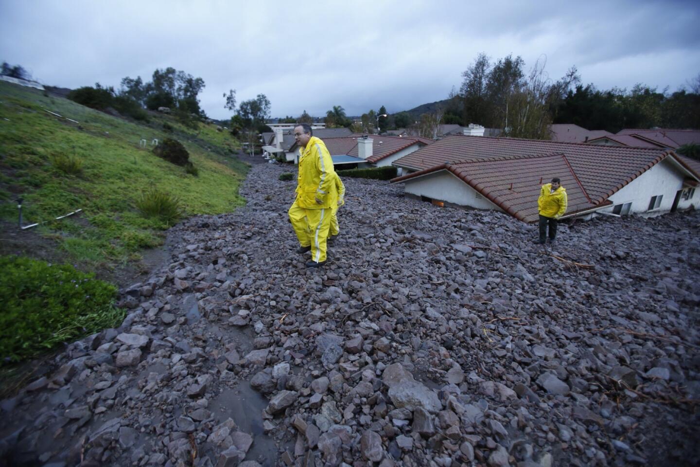
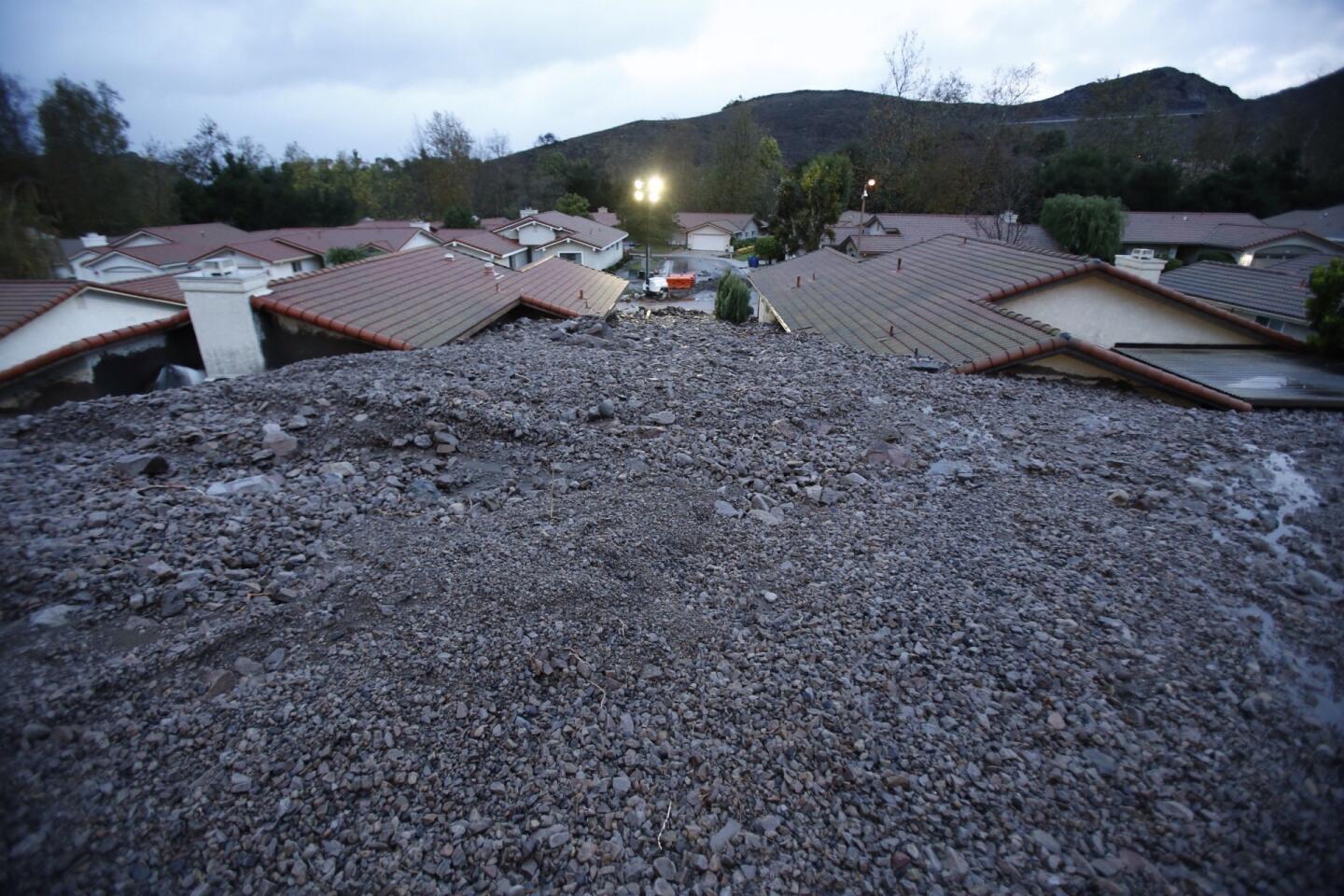
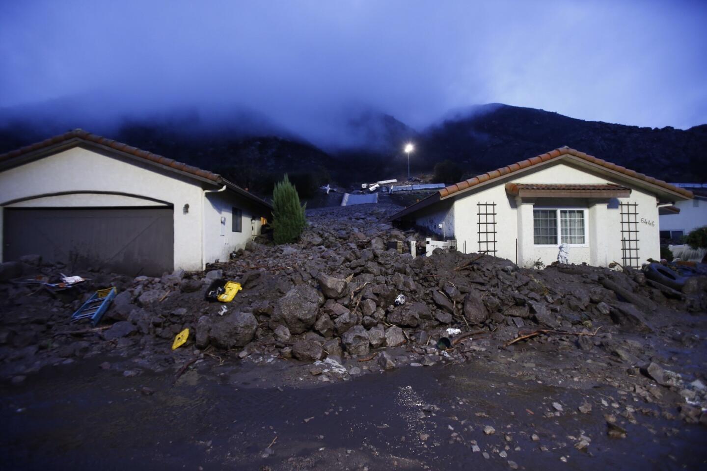
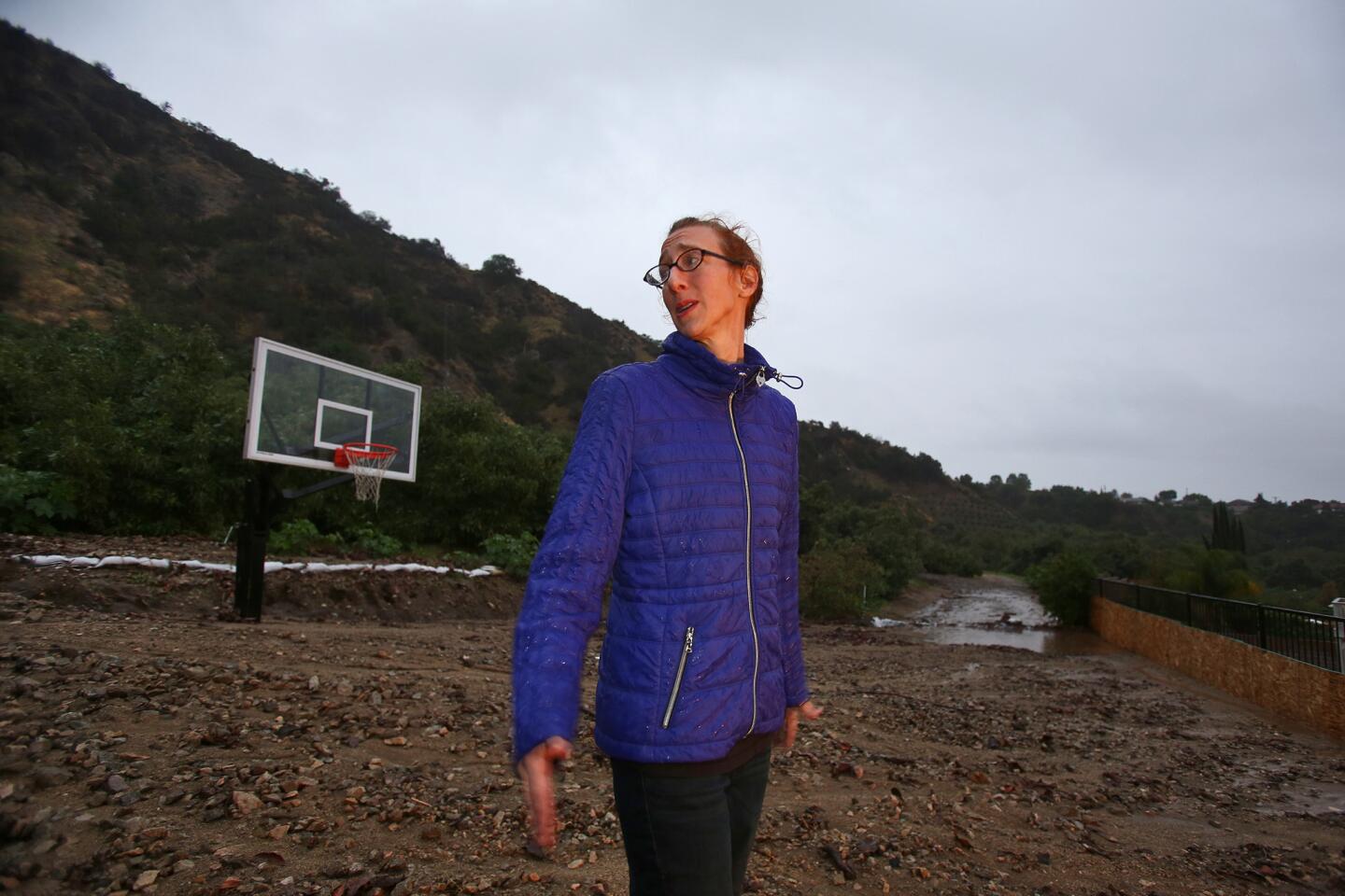
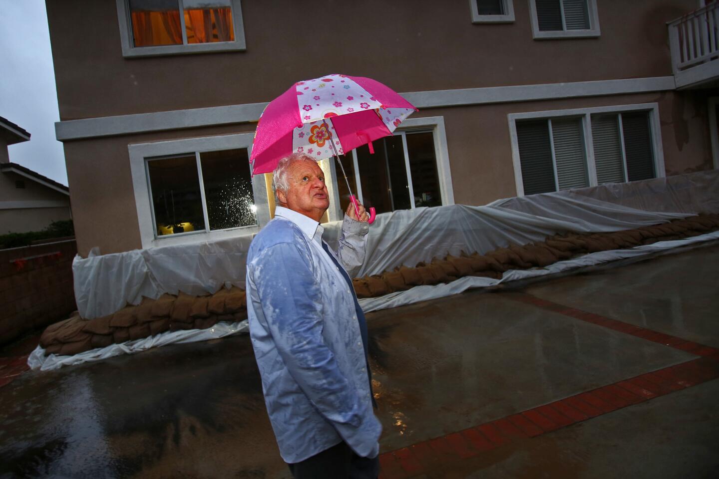
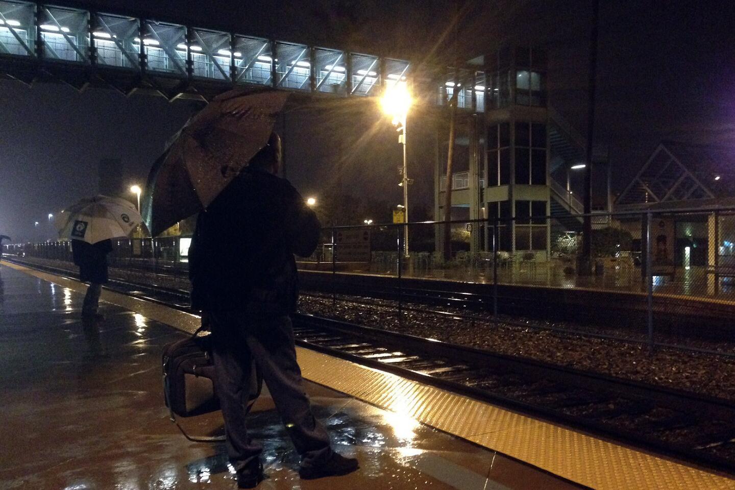
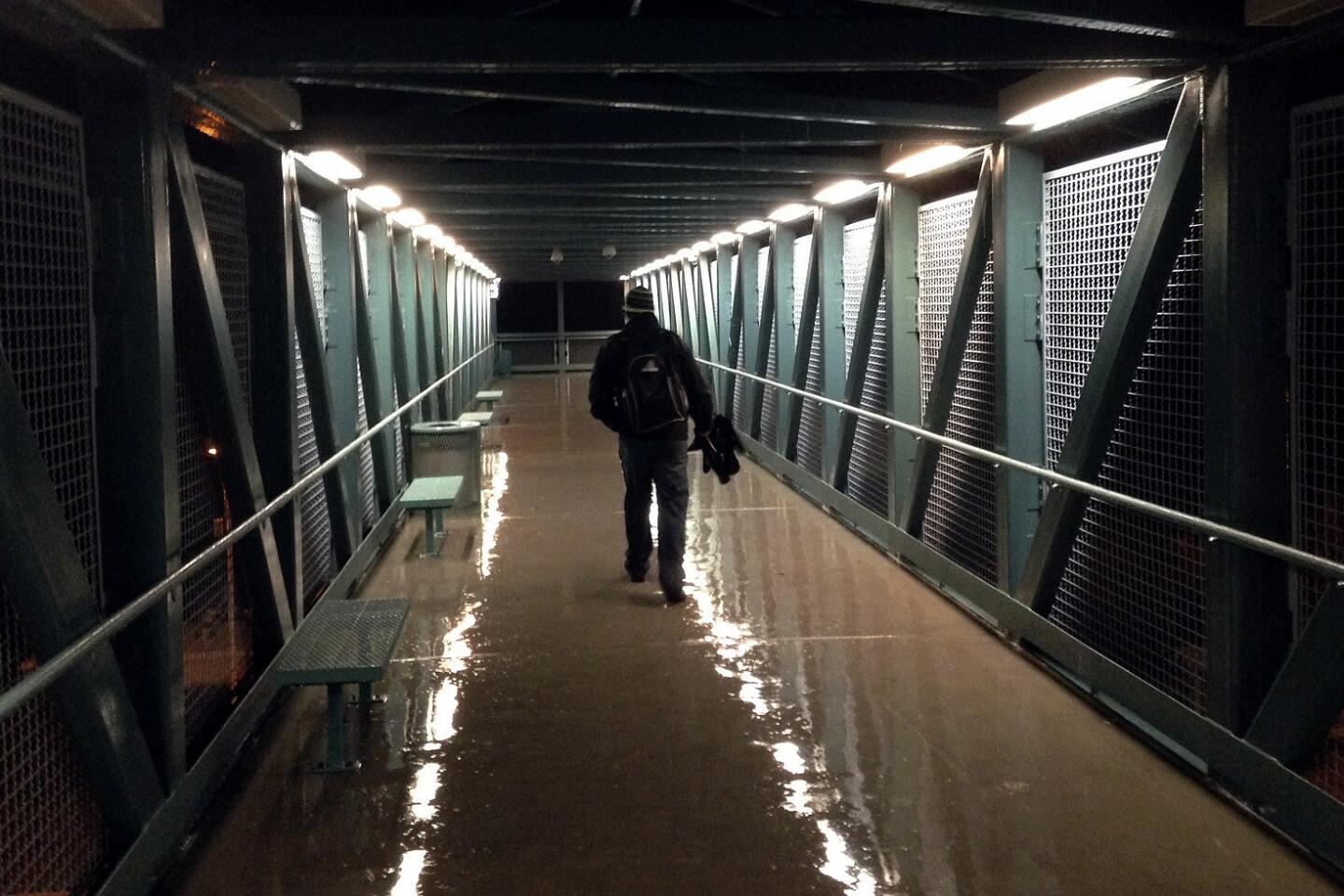
As Southern California dried out from a record-breaking rainstorm Saturday, another major front was barreling toward the region.
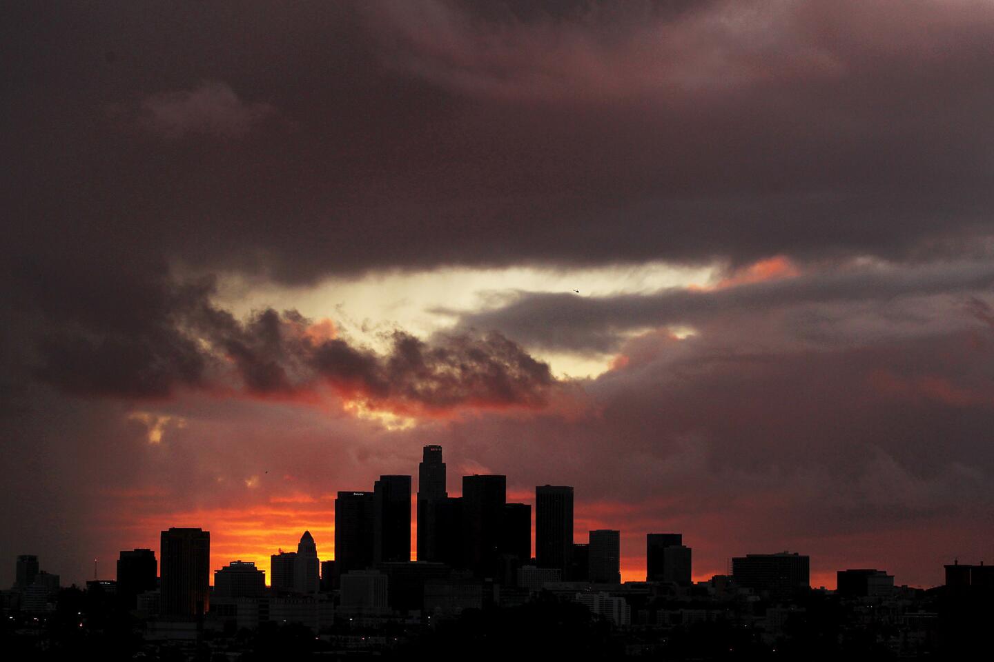
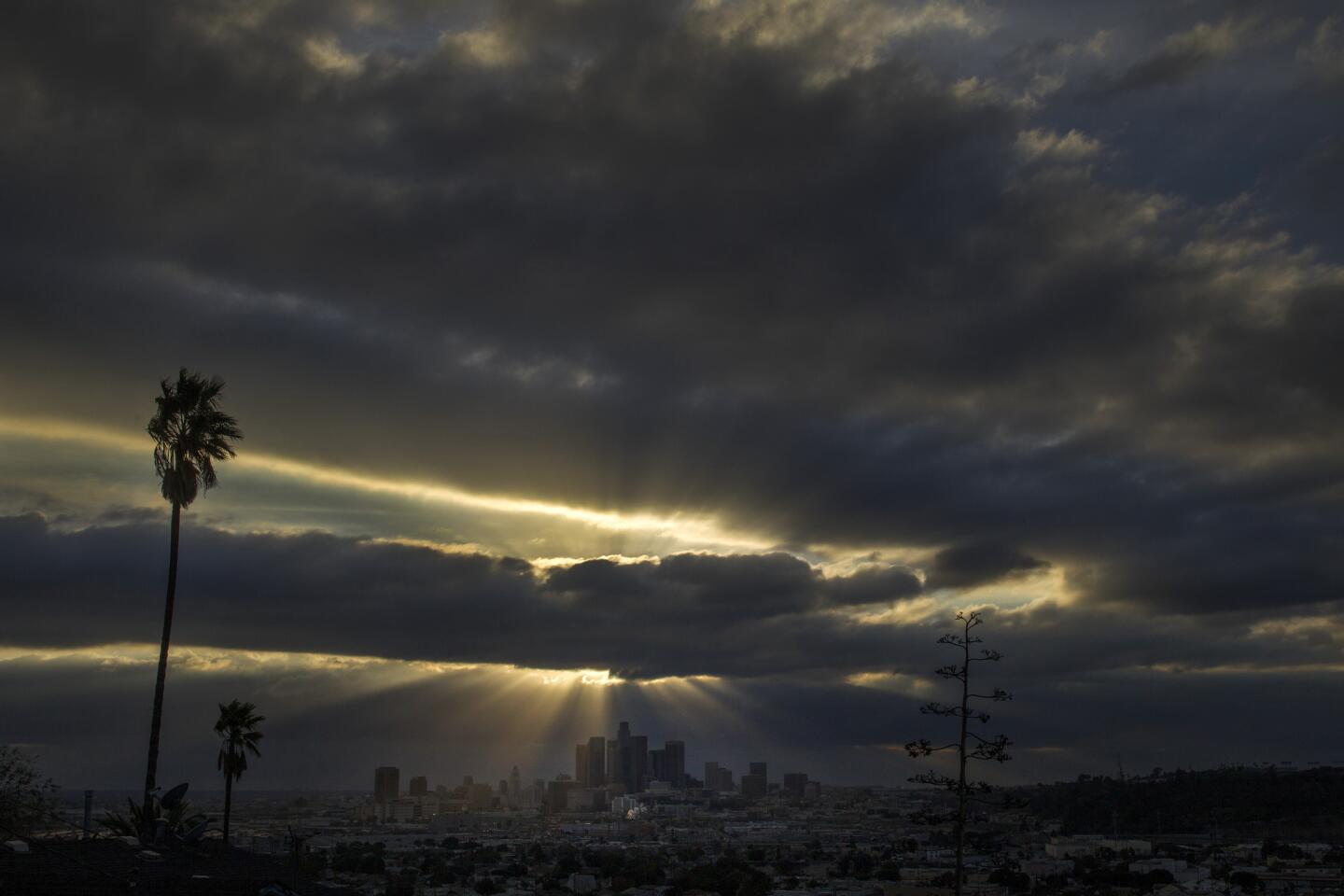
The storm system, originating in the Gulf of Alaska, is forecast to reach Los Angeles on Monday afternoon, bringing more rain and cooler temperatures.
The National Weather Service predicted up to two inches of rain could fall in the foothills and mountains and more than a quarter of an inch along the coast and in valleys, said meteorologist Scott Sukup of the agency’s Oxnard office.
“The main part of it will be Monday afternoon and evening and then we will have a chance of showers all week long,” Sukup said.
The system moving in Monday is expected to bring a gentle, drenching rain without the high winds that produced flash floods, a tornado and other severe weather this week. Temperatures will be in the mid-60s, slightly below normal, Sukup said.
The upcoming storm will be the third to hit drought-stricken Southern California in the last two weeks. December rain has accounted for almost all of the 3.91 inches that has fallen since July, said William Patzert, climatologist for the Jet Propulsion Laboratory. The storms have put the region 45% ahead of normal rainfall for this time of year.
“The best scenario we hope for every winter is these big, wet storm systems from the Gulf of Alaska,” Patzert said. “They dump a lot of snow in the Sierra.”
An ample Sierra Nevada snowpack is critical if California is to emerge from the drought because the mountains are a major source of drinking water in the state. But even with Monday’s anticipated rain, the drought is far from over. State hydrologists have said California would need about 75 inches of rain by September 2015 to declare an end to the drought.
Follow me @latimesharriet.
More to Read
Sign up for Essential California
The most important California stories and recommendations in your inbox every morning.
You may occasionally receive promotional content from the Los Angeles Times.


