L.A. City Council to review plan for eight-mile bike path connector

- Share via
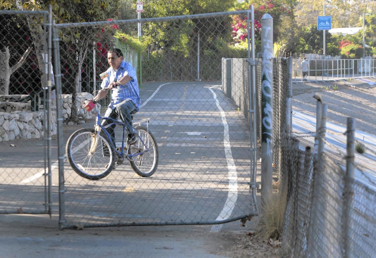
An eight-mile gap in the Los Angeles River bike path could be closed under a proposal that the City Council agreed Wednesday to explore despite concerns about heightened injury risks and maintenance costs.
Voting unanimously, the council without comment asked city engineers to study the feasibility of building at least three access ramps that would enable cyclists to pedal through downtown from Elysian Valley to Maywood, a longtime hole in the bike path network.
The review would look at costs and designs as well as concerns by the U.S. Army Corps of Engineers that it could be dangerous to permit the public into a channel intended to capture storm water.
Ordering the study also brings closer to fruition a long-held goal of cycling enthusiasts, river advocates and environmentalists: having another way to commute to downtown without getting in a car.
Yuval Bar-Zemer, a downtown loft developer and board member of Friends of the Los Angeles River, said that filling the gap would create a ready-made transit line from roughly Griffith Park to Long Beach. Bar-Zemer said he had commissioned studies showing that, depending on design, rain would make the path inaccessible an average of five days a year.
Friends of the Los Angeles River and other bike path supporters would make sure it is as safe as possible, he said.
“We are committed to putting in a warning system to make it significantly safer to ride in the river channel than to drive the 10 Freeway,’’ he said.
Lewis MacAdams, co-founder of Friends of the Los Angeles River, said advocates have long sought to connect the downtown portion of the bike path. But rail companies own much of the bank-side property that has been used to create other chunks of the trail.
The Army Corps of Engineers has also cited concerns that an in-river path is too risky. But the federal agency in recent months has softened that stance during public meetings on the project, MacAdams said.
“The Corps of Engineers, at least the commanders in the Los Angeles division, have come to put the river into perspective and not to see it as an enemy that has to be controlled at all costs,” he said.
Martin Schlageter, director of planning policy for Councilman Jose Huizar, who sought the city action, said the design of the bike path would be a crucial part of the review.
“It could be elevated a little bit from the channel floor,’’ Schlageter said.
In addition to the city, the project would need approval by the Army Corps of Engineers and the Los Angeles County Board of Supervisors.
NBCUniversal, in exchange for a development agreement, recently agreed to extend the existing bike path northwest from Riverside Drive to Lankershim Boulevard by 2016. If the downtown portion is completed, cyclists would enjoy 35 miles of continuous bikeway.
Backers hope to eventually build bike paths along the entire 51-mile length of the river.
Huizar’s proposal dovetails with the city’s $1-billion long-term push, with the Army Corps of Engineers, to refashion an 11-mile stretch of the river channel north of downtown from a giant concrete drain into a pedestrian-, recreation- and bike-friendly preserve.
The ambitious federal project, backed by Mayor Eric Garcetti, was recently approved by the Army Corps of Engineers and awaits funding approval by Congress. Construction of the 6th Street Viaduct, connecting downtown to Boyle Heights, is also in the works.
catherine.saillant@latimes.com
Twitter: @csaillant2
More to Read
Sign up for Essential California
The most important California stories and recommendations in your inbox every morning.
You may occasionally receive promotional content from the Los Angeles Times.


