As new storm barrels toward California, San Mateo County orders evacuations

- Share via
The latest in a series of winter storms rolling through California has triggered evacuation orders in San Mateo County after closing several major highways.
Officials are ordering residents in multiple coastal communities, including Big Sur, Loma Mar and Año Nuevo Island, as well as Butano State Park, to evacuate in anticipation of the heavy rain expected Tuesday evening.
A triple play of wet weather is bringing much-needed rain to drought-stricken California, but the latest round has forecasters warning of an atmospheric river that could deliver significant rain and snow. The heaviest precipitation in the state is expected Tuesday night, when the latest system connects with the stream of high-moisture-content air that could create a pipeline of water.
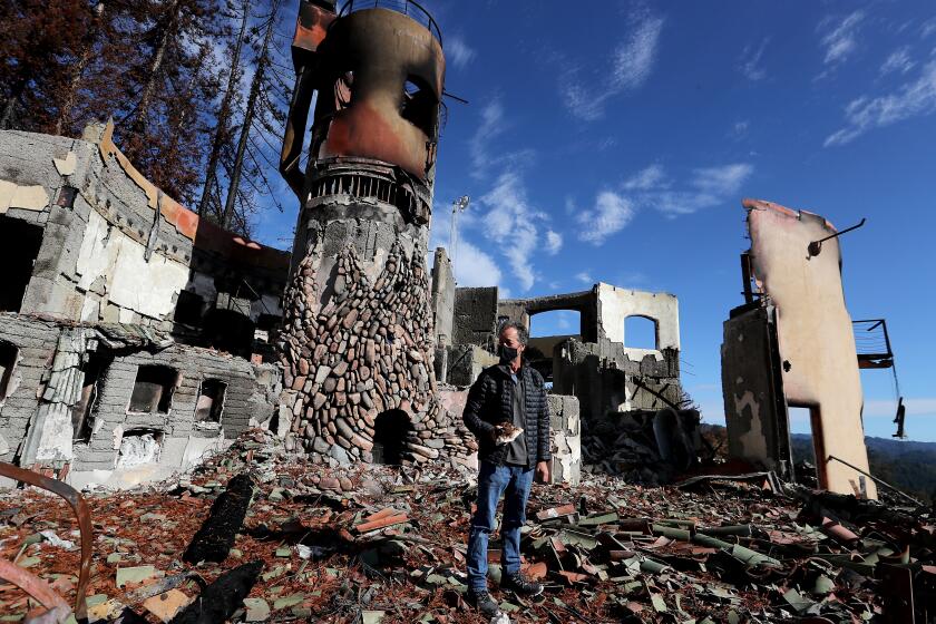
The 86,000 acres burned around the Santa Cruz Mountains in the fall by the massive CZU Lightning Complex fire is especially vulnerable. Burn scars left by the Dolan fire, which destroyed over 120,000 acres nearby, are also vulnerable. The soil is now weak without vegetation to hold it in place and at heightened risk for debris flows and mudslides, experts warn.
The Bay Area and Central Coast are in for a big soaking, with Big Sur expected to get the most rain: 6 to 8 inches, according to the National Weather Service. Santa Cruz will likely see 4 to 6 inches, and San Francisco 2 to 3 inches, forecasts say.
Some isolated areas of the Central Coast could receive as much as 10 to 15 inches, said Marty Ralph, director of the Center for Western Weather and Water Extremes at UC San Diego.
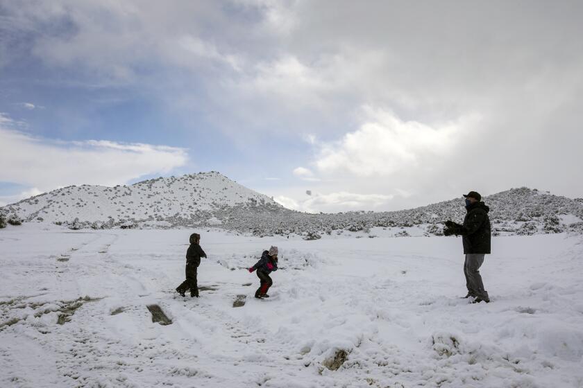
A winter storm swept over much of Southern California, dusting mountaintops with snow and bringing traffic to a standstill on several passes.
Much of California’s Central Coast is under a flash-flood watch, starting Tuesday afternoon and continuing through Thursday morning. The weather service has warned of the rapid ponding of water in poor drainage areas.
Meteorologists are also warning of high winds that could lead to scattered power outages, beginning Tuesday evening. Gusts of 25 to 60 mph are predicted.
In coastal Santa Cruz County, evacuation orders were issued Monday ahead of the most recent storm, and are still in effect, with officials warning of the increased potential for debris flows in the San Lorenzo Valley and the Santa Cruz Mountains.
Los Angeles County is expected to see less precipitation as the storm wrings itself out over the mountains. Rain is expected late Thursday morning, with up to 2 inches forecast in some areas.
Despite its predicted punch, this storm isn’t expected to be remarkably more powerful than the dozen or so atmospheric rivers that supply almost half of the state’s water every year, Ralph said.
Over the last few years, experts at UC San Diego have worked with scientists at the federal level and in Europe to hone their weather models and have developed a scale from 1 to 5 to rate the soaking power of atmospheric rivers, with 1 being the weakest and 5 the strongest.
Although an atmospheric river rated as a 1 or 2 is perceived to be weaker, the speed of the storm and its location are key, Ralph said. The atmospheric river that pounded Northern California in February 2017 was rated a 4 and nearly compromised the Oroville Dam, triggering mass evacuations and causing more than $1 billion in damage.
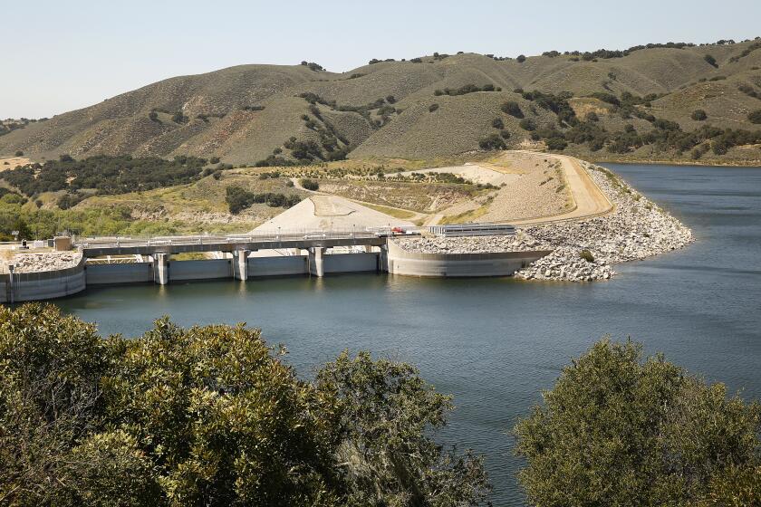
The storm arriving Wednesday is generally rated a 1 or 2 for much of the California coastline, the kind of steady, significant rain that can help refill reservoirs in Southern California and make up a large chunk of the depleted Sierra snowpack, a vital water resource for farmers come summer.
Still cleaning up from fires that swept through the Santa Cruz Mountains this year, residents are now prepping for the next disaster — mud slides.
But the storm is expected to stall over part of the Central Coast, which could spell disaster for communities tucked into steep and narrow coastal canyons recently visited by fire. If the storm brings with it just one extra-powerful rain band that sits over a severe burn scar for 15 to 30 minutes, it could trigger a large debris flow or worse.
“I’d say they’re under the gun,” Ralph said.
The storm that triggered the Montecito mudslide in 2018 was rated a 1, Ralph said. Within it, however, was a band of rain that dumped so much water so fast on the hills over Montecito that it amounted to a 1-in-500-year storm. Those rain bands are hard to detect far ahead of time, so the public should stay alert for warnings from the National Weather Service and their local emergency responders, experts say.
On Tuesday, the statewide Sierra snowpack sat at 41% of its average for this date, according to the Department of Water Resources. The upcoming storm could fill that deficit by about half, Ralph said.
Looking ahead, the type of boom-or-bust winters Californians have seen with greater extremes in the last decade are only expected to increase with climate change, Ralph said.
“The climate projections show more dry days each year, but the top couple percent wettest days get wetter,” Ralph said in an email to The Times. “California already has the most variable annual precipitation anywhere in the country. ... Climate change will amplify that.”
Climate change is increasing California’s wet-to-dry extremes, but average precipitation is not declining.
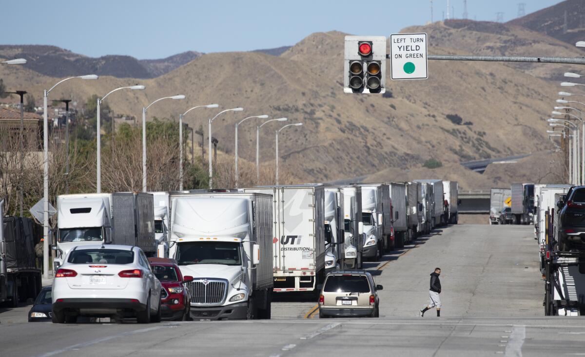
In Southern California, the remnants of an earlier storm prompted both directions of the 5 Freeway around the Grapevine to be closed overnight and through late Tuesday morning.
The California Highway Patrol reopened the northbound and southbound lanes of the 5, with CHP escorts between Castaic and the Grapevine, shortly before noon. One southbound and two northbound left lanes will remain closed in anticipation of more snow.
State Route 58 over the Tehachapi Pass, which also had been closed, reopened with CHP escorts as well.
Portions of Highway 1 in Big Sur will close at 5 p.m. in anticipation of potential debris flows.
In eastern San Diego County, the eastbound lanes of the 8 Freeway were closed in Alpine, and drivers heading west out of El Centro were being turned around because of icy conditions.
The California Department of Transportation was recommending that motorists outfit vehicles with tire chains if traveling along Route 178 in northern Kern County.
A blizzard warning for the Sierra Nevada goes into effect at 10 p.m. Tuesday and runs through Friday. The Transportation Department has advised that no one travel through the area after the sun sets, warning that extreme avalanche danger, strong winds and falling snow will make the terrain unsafe.
Times staff writer Susanne Rust and San Diego Union-Tribune staff writer Karen Kutcher contributed to this report.
More to Read
Sign up for Essential California
The most important California stories and recommendations in your inbox every morning.
You may occasionally receive promotional content from the Los Angeles Times.


