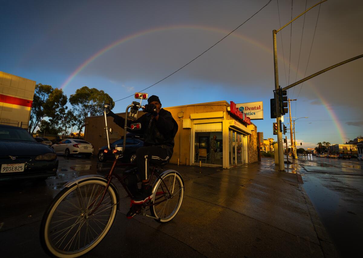
Rain rolling into Southern California this weekend

- Share via
Southern California is in for a wet weekend as a series of storms moves through the region, beginning this evening.
This storm system won’t be as intense as earlier ones that brought flooding to areas like Ventura Beach, which was battered in late December by heavy surf.
With the new storms, forecasters predict mostly light rain Friday night through Sunday, followed by moderate to heavy rain Sunday night and Monday.
Meteorologist Brian Adams with the National Weather Service’s station in San Diego said the core of a low-pressure system over the eastern Pacific Ocean is lifting toward Northern California and the Pacific Northwest.
“Because it’s so strong, it will be generating waves [of rain] down to Southern California,” Adams said. “There will be a little bit of moisture from that, and the real axis is split between the Northwest, Southern California and parts of Baja California.”
In Los Angeles County, the strongest likelihood for precipitation will come Saturday, Sunday night and Monday. But other regions could see sporadic rain throughout the weekend, according to the National Weather Service.
Overall, the weather service says 1 to 2 inches of rain is expected in the basin and up to 5 inches in the foothills.
Snow levels will be in the 7,000-foot range. Temperatures also are expected to drop, lowering by 3 to 6 degrees, with coastal areas likely to see the thermometer top out in the lower to mid-60s.
Northern California also will be hit will rain and snow.
The National Weather Service issued a winter storm watch for the Sierra from late Friday to late Monday, saying heavy snow is expected over 6,000 feet, and wind gusts up to 45 mph could be felt.
The start to 2024 has been relatively dry, especially compared with last year, when dozens of atmospheric rivers pummeled California. National Weather Service sites have reported about half the rainfall that is typically expected at this point in a “wet year,” a complete inverse of what meteorologists expected based on the La Niña-El Niño cycles.
By Tuesday, the storm should have passed through Southern California. High pressure then will build next week, creating dry conditions and a warming trend, with above-normal temperatures expected by Thursday, forecasters said.
More to Read
Sign up for Essential California
The most important California stories and recommendations in your inbox every morning.
You may occasionally receive promotional content from the Los Angeles Times.


![Vista, California-Apri 2, 2025-Hours after undergoing dental surgery a 9-year-old girl was found unresponsive in her home, officials are investigating what caused her death. On March 18, Silvanna Moreno was placed under anesthesia for a dental surgery at Dreamtime Dentistry, a dental facility that "strive[s] to be the premier office for sedation dentistry in Vitsa, CA. (Google Maps)](https://ca-times.brightspotcdn.com/dims4/default/07a58b2/2147483647/strip/true/crop/2016x1344+29+0/resize/840x560!/quality/75/?url=https%3A%2F%2Fcalifornia-times-brightspot.s3.amazonaws.com%2F78%2Ffd%2F9bbf9b62489fa209f9c67df2e472%2Fla-me-dreamtime-dentist-01.jpg)

