High avalanche danger, winds topping 100 mph as blizzard slams Tahoe, Mammoth, Sierra Nevada
- Share via
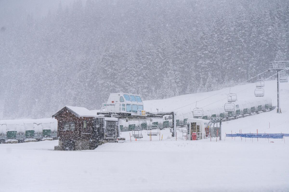
A treacherous, life-threatening blizzard was strengthening over California’s mightiest mountain range Friday, already bringing 100- to 110-mph gusts at the higher elevations, with conditions expected to deteriorate dramatically by the evening.
A gust of 145 mph was recorded Thursday night at Palisades Tahoe at an elevation of 8,700 feet above sea level.
Officials Friday warned of high avalanche danger through Sunday in the Central Sierra slopes and the Lake Tahoe area.
Up to 12 feet of snow could fall on the highest peaks of the Sierra Nevada through Sunday, the National Weather Service office in Sacramento said. Other areas with an elevation of 5,000 feet above sea level could get 5 to 10 feet of snow.
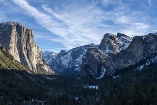
Yosemite National Park said it had closed through at least noon Sunday because of the storm. “Visitors currently in the park should leave as soon as possible, and no later than noon” on Friday, the park said. Several feet of snow is expected at Yosemite.
“Travel should be restricted to emergencies only,” the weather service office in Hanford said.
The storm is particularly strong and cold, as it’s moving in from the Pacific Northwest, and “it’s a really deep area of low pressure. It has a lot of cold air ingested into it. And the track and the setup of the system really enhances the upslope flow, or the training of precipitation, over the Sierra,” said Jeffery Wood, meteorologist with the weather service’s Sacramento office. “So as that cold air and moisture is moving up the mountains, it allows for several hours of continuous snowfall to fall.”
It’s possible this storm could result in one of the top 10 snowiest days in the central Sierra since 1970, Wood said.
There will be “whiteout conditions with near zero-visibility at times due to blowing snow,” the weather service office in Reno warned of the strongest Sierra storm of this winter. “Do not travel. If you must travel, have a winter survival kit with you. If you get stranded, stay in your vehicle.”
The main route between Southern California and Mammoth Mountain, Highway 395, could see 1 to 3 feet of snow, with gusts of up to 75 mph in these lower-elevation areas. On Thursday afternoon, the Mammoth area was already seeing gusts of 60 mph.
The highest elevation of the main roads to Lake Tahoe from the San Francisco Bay Area — Interstate 80 and Highway 50 — could see upward of 8 to 10 feet of snow. Interstate 5 in Siskiyou County, near the Oregon border, could see more than 1 foot of snow.
A post office in Leggett — an unincorporated commmunity in Mendocino County that sits next to the Smith Redwoods State Natural Reserve — caught fire Friday after a nearby tree was struck by lightning, according to local residents and emergency scanner reports.
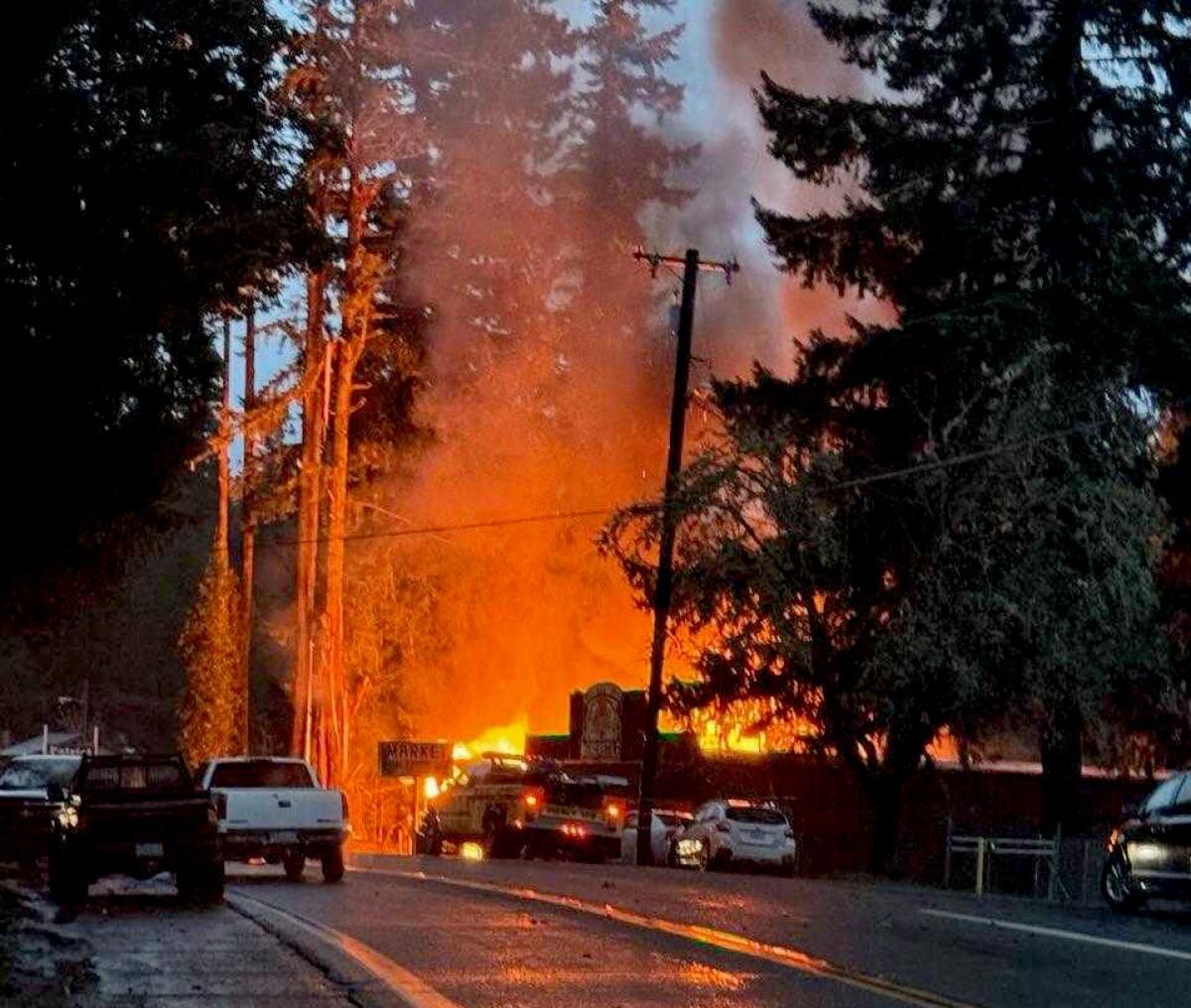
Resident Lizbeth Rangel and her boyfriend Josh Trimble reported the fire at about 5:30 p.m., after they pulled up to a local market connected to the post office to get something to drink.
“There has been a lot of lightning hitting today,” Rangel said when reached by phone. “I’ve lived here for the last eight years and I’ve never seen this much. It’s the worst lightning strikes ever.”
In Lake Tahoe, Manuel Jimenez Jr. and his son, Manuel Jimenez III, spent Thursday morning getting their tow trucks ready for what was sure to be a busy weekend on the roads. The two own two local towing companies — Lake Tahoe Towing and South Lake Tahoe Towing — and storms such as this mean long workdays ahead.
“This is when the big boys step up,” said the older Jimenez.
California’s third snow survey of the season measured statewide snowpack at 80% of normal for the date, and much more snow is on the way.
The father and son have been working in the area for seven years, and, while many will try to hunker indoors until the storm passes, this is one of the busiest times for their business.
The two also document their exploits online, posting videos of how they pull stranded drivers back to safety for their thousands of followers on Instagram.
Before the storm arrived, they checked the equipment on their trucks, loaded their snow blowers, packed an extra pair of chains and inspected them to make sure none of them snap in the cold snow.
They know people have been warned not to travel, but with seven years of experience towing stranded cars, they know the cars will still come.
“When they don’t heed the warnings, and people are saying this is going to be a big one, we end up with six, seven miles of car jams within town,” Jimenez Jr. said. “They can’t even leave the basin.”
During bad storms, the two companies will get two calls a minute from drivers asking for help, he said. Storms such as this can create so much demand that they stay working 24 hours straight.
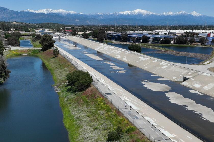
When it comes to stormwater capture, California stands out for “untapped potential,” according to the Pacific Institute.
Many of the calls are from drivers who have jumped off main highways and followed navigation apps that lead them through local paths and streets away from traffic, he said. But while the apps navigate drivers away from gridlock, many of them don’t take into consideration the fact that local roads might be too steep, unplowed or not passable to drivers unaccustomed to driving in the snow.
“I always tell people, don’t follow your Google maps or other apps, ever,” he said. “Know your route and stick to that route.”
The father and son know the work can be dangerous, but it’s been slow for most of the year, and strong storms are what will also help keep their businesses going.
Just in case, they and their drivers will pack extra food, blankets and clothes in the two trucks for the long, cold days ahead, and in case they themselves become stranded. During one of the last strong storms, Jimenez Jr. said, one of his drivers was stranded for about 14 hours before another tow truck was able to get to him.
But after a slow year for their business, they welcome the work.
“This is a feast-or-famine type of situation,” Jimenez Jr. said. “When it’s time to feast, we’re out there to make money.”
Ski resorts were thrilled with the impending snowfall but joined officials in warning that mountain roads could be closed during the worst of the storm. Ski resorts could face partial or full closures during the peak of the blizzard on Friday and Saturday.
“We do expect that Sunday will be a day of patience as we dig out,” Palisades Tahoe said on social media.
“It’s going to DUMP,” Mammoth Mountain said on social media. “It’s looking like we have a lot of digging to look forward to the next few days.”
“During these major storms expect DEEP snow, always ski and ride with a buddy, keep your buddy in sight and avoid the base of trees. Be aware of Snow Immersion Suffocation (SIS) dangers,” Mammoth Mountain said, referring to the risk when skiers leave groomed trails and fall into an area of deep, unconsolidated snow.
“If wind and snow were not enough, it will be much colder,” the National Weather Service office in Reno said. “Wind chills will drop below zero in the Sierra high country. This really does add a serious life-threatening element to this storm, and why you want to avoid getting stuck!”
The storm was slated to roll in hours after officials with the California Department of Water Resources conducted their third snow survey of the season at Phillips Station near South Lake Tahoe. The survey showed that statewide snowpack has improved considerably since the start of the year, when experts expressed concern about a potential “snow drought” due to a late start to the rainy season and a large number of warm storms that fell as rain instead of snow.
Statewide snowpack on Thursday measured 80% of average for the date, and 70% of average for April 1, the date when it is typically at its peak. But officials were optimistic that the incoming blizzard would offer a significant boost.
“The good news is that we have a big storm starting here through the weekend, and it will be a cold one,” said Andy Reising, water resources engineer in the department’s snow survey and supply forecasting unit. Reising said it should be a good snow producer, with heaps of powder expected at both low and high elevations.
“We’re quite pleased to announce that that’s coming, and it will help get us toward average, maybe even above average, for the state,” he said.
Daniel Swain, a UCLA climate scientist, said he strongly encouraged people not to head up to the mountains for a powder weekend, given that road travel will be dangerous. The California Highway Patrol office in Truckee has already warned about expected long delays and road closures.
Additionally, Swain said, ski resorts will probably need to halt chairlifts during strong winds.
The strong storm may come as a bit of shock to the Lake Tahoe area, “given how anemic this year’s snow season has been thus far at lake level,” Swain wrote in a blog post. “But this one looks like the real deal. ... This is virtually guaranteed to be a dangerous and disruptive snowstorm.”
Swain added in a briefing Thursday the storm could set top-five daily or two-day snow accumulation records in some locations. Snowfall rates of 2 inches per hour — or even up to 5 inches per hour — are possible for multiple hours on end, he said.
“The big story is going to be the Sierra Nevada and some of the other higher mountains in Northern California and in Central California … where there will be legitimate blizzard conditions developing later” Thursday night into Friday, Swain said during the briefing.
He noted the storm is somewhat unusual for its frigid temperatures and wet conditions.
“We rarely get air masses this cold that are also this moist and associated with this much storm activity,” Swain said. “We definitely get colder air masses than this one in California, but they’re usually much drier than this one.”
The National Weather Service issued a blizzard warning over a wide swath of the Sierra Nevada, from Lassen Volcanic National Park in Shasta County to Kings Canyon National Park in Fresno County. The blizzard warning began on Thursday and lasts through Sunday; the worst of the storm was expected between Friday afternoon through the midday of Saturday.
“For Sierra locations, don’t get caught up in the ‘worst conditions’ time frame. It is going to be really bad throughout the entire event!” the weather service office in Reno warned. “Winds ... will remain strong enough to produce near-zero visibility in the Sierra and the foothills.”
The weather service office in Eureka warned of snow on all roads 1,000 feet above sea level between Thursday through Saturday.
Highway 101 at Ridgewood Summit in Mendocino County could get half a foot of snow. And Highway 101 at Prairie Creek Summit in Humboldt County could get 1 to 1.5 feet.
Hail could strike coastal roads in Humboldt and Del Norte counties on Friday and Saturday, and linger, forecasters said. “Ease off the gas if you suddenly find yourself on a hail-covered roadway,” the weather service said. “Do not slam on the brakes. Avoid overcorrecting.”
There’s a chance of up to 1 inch of snow on the Grapevine section of Interstate 5, which connects Los Angeles County with the Central Valley through the Tejon Pass. Snow is also possible on Highway 58 over the Tehachapi Pass, which connects Bakersfield with the Mojave Desert.
In the mountains of San Diego, Riverside and San Bernardino counties, there could be 3 to 7 inches of snow at areas 7,000 feet above sea level, and 1 to 3 inches at areas between 6,000 to 7,000 feet.
In Los Angeles County, areas at 7,000 feet above sea level could see 5 to 10 inches of snow, and areas 4,000 above sea level could see at least 1 inch.
There’s a slight chance of rain in L.A., Orange and Ventura counties during the day Friday, a probability that grows on Friday night. Rain is expected during the day Saturday in those coastal counties as well as the Inland Empire.
From Friday through Sunday, downtown L.A. is expected to get 0.41 inches of rain; Long Beach, 0.34 inches; Redondo Beach, 0.29 inches; Santa Clarita, 0.51 inches; Pomona, 0.58 inches; Oxnard, 0.34 inches; and Santa Barbara, 0.48 inches.
Anaheim could get up to half an inch of rain; Irvine, San Clemente and Riverside, up to 0.4 inches; Ontario, up to 0.7 inches; San Bernardino, up to 1 inch; and San Diego, up to 0.2 inches.
The San Francisco Bay Area is forecast to see rain and winds Thursday through Saturday, with 0.5 to 2 inches of precipitation expected in the cities. Snow is possible on the Bay Area’s highest peaks.
Strong gusts from 35 to 55 mph are a concern in the section of the Sacramento Valley that is north of Marysville, the county seat of Yuba County.
Times staff writer Nathan Solis contributed to this report.
More to Read
Sign up for Essential California
The most important California stories and recommendations in your inbox every morning.
You may occasionally receive promotional content from the Los Angeles Times.
