First of three storms brings more rain to Southern California
- Share via
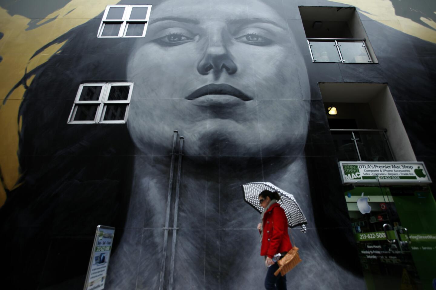
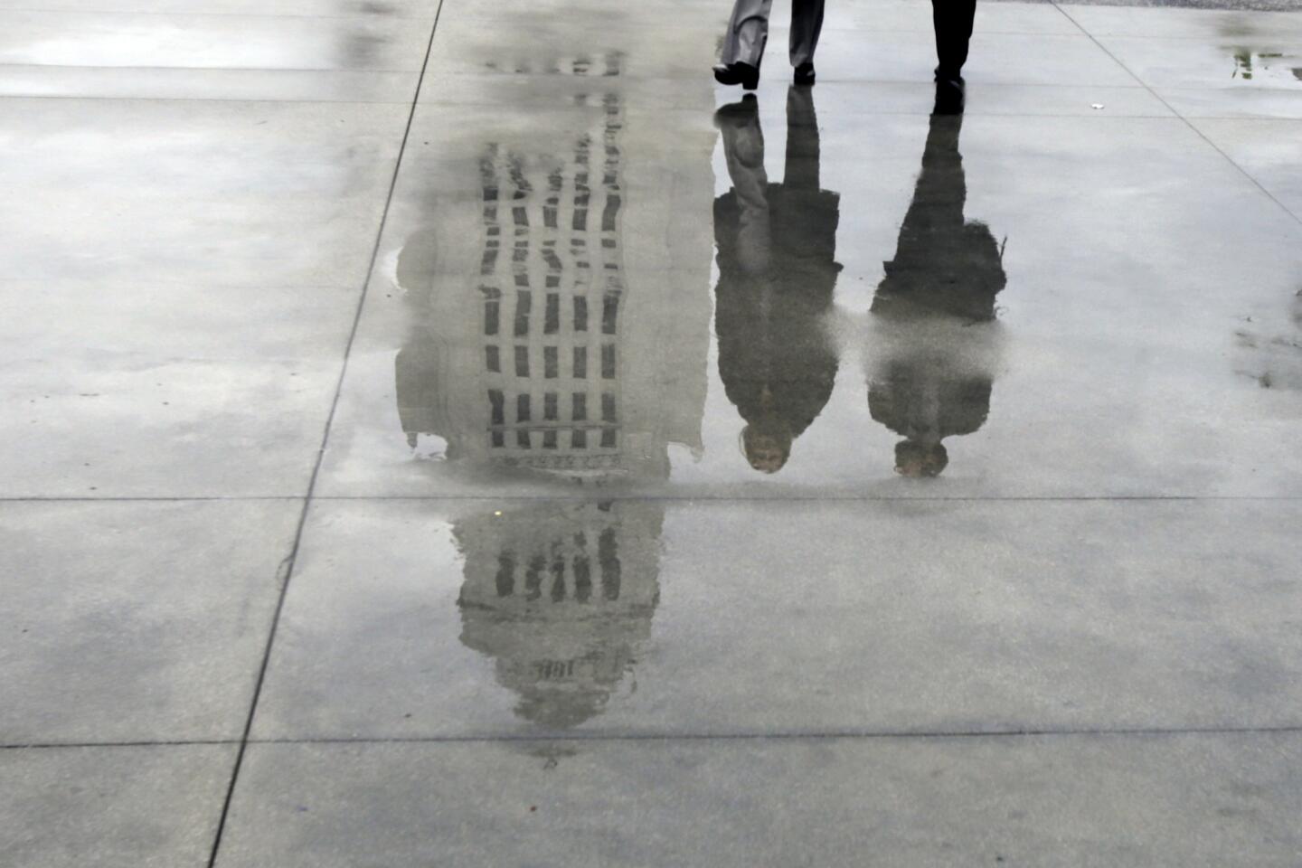
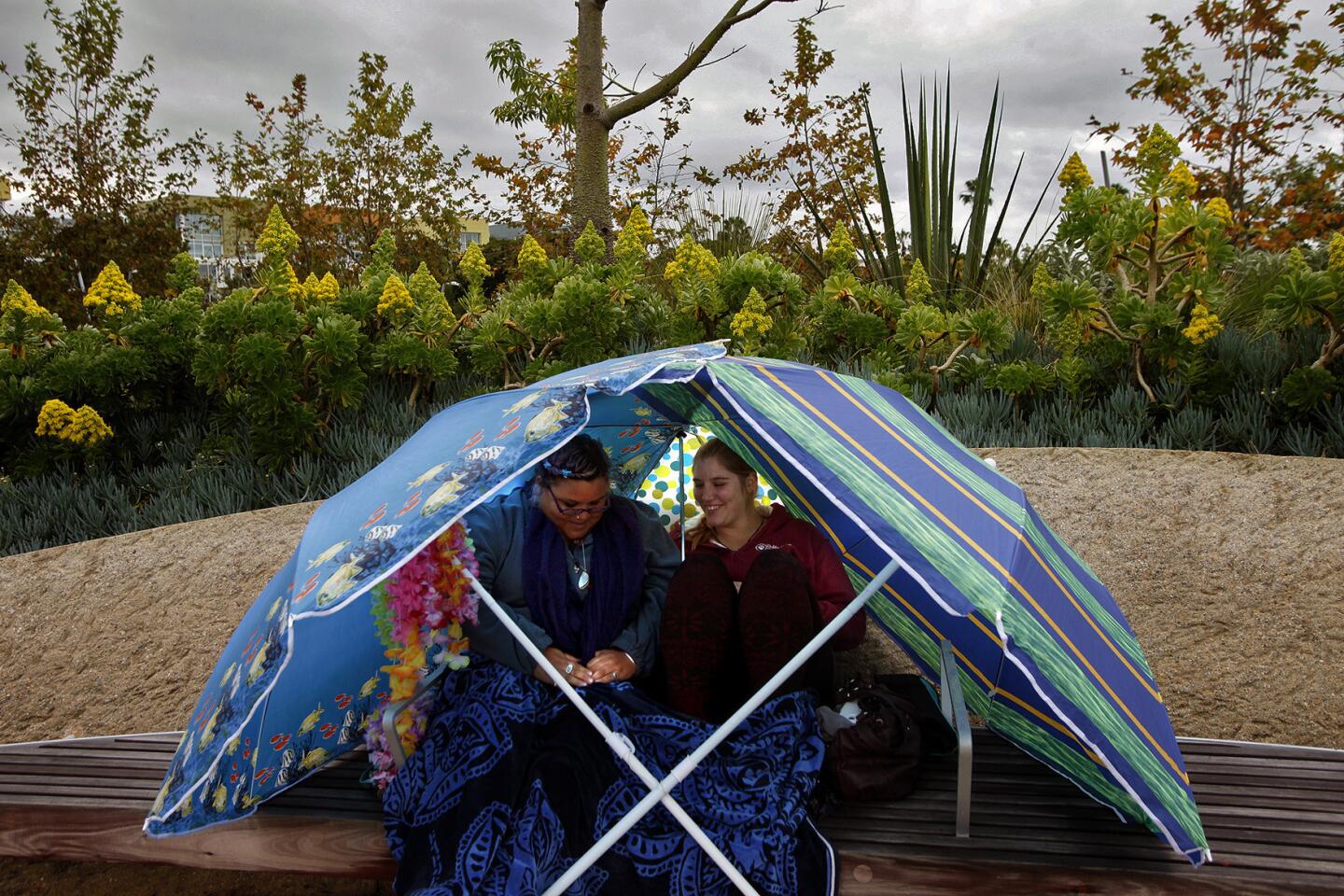
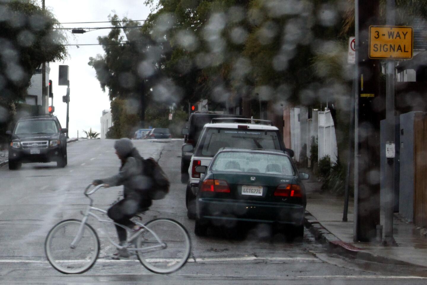
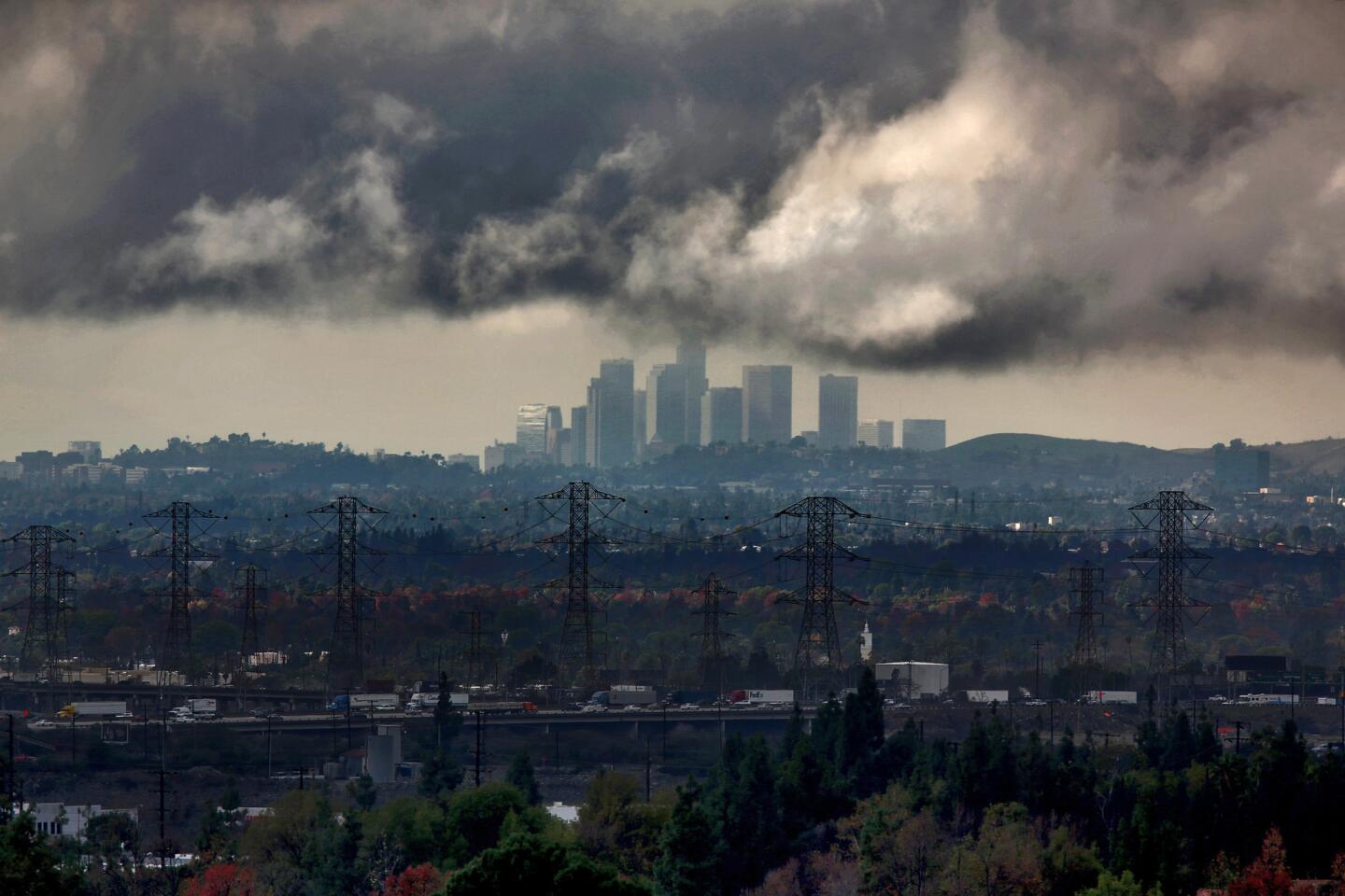
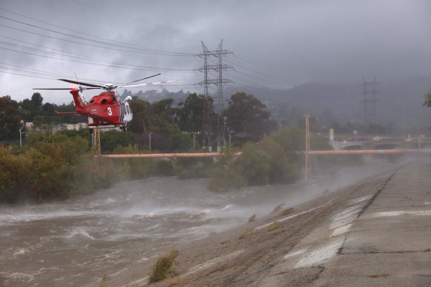
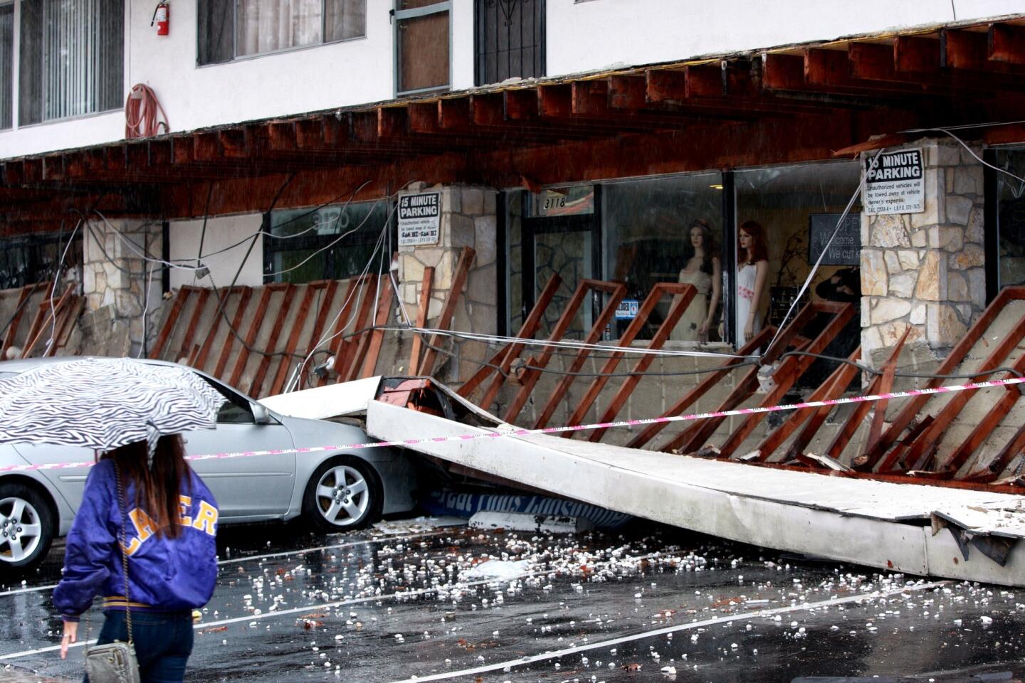
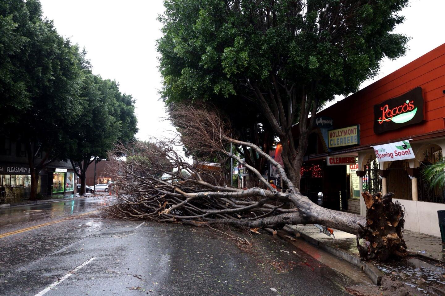
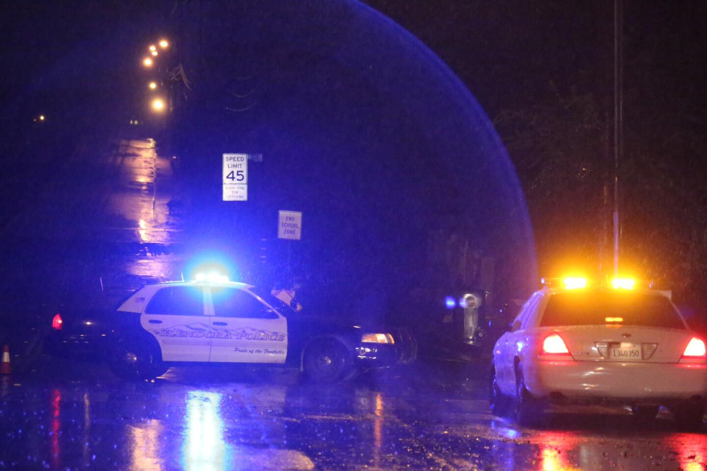
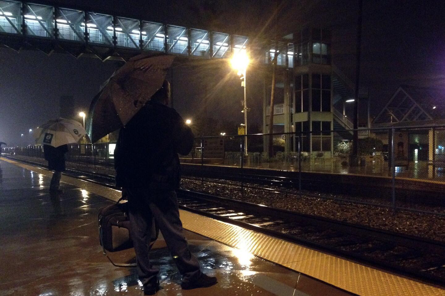
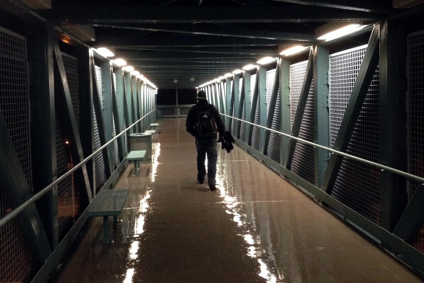
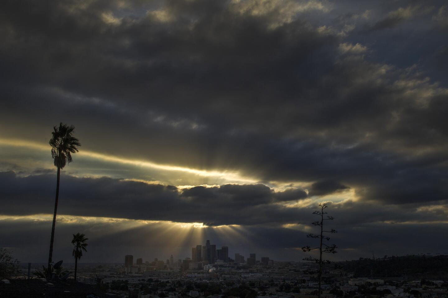
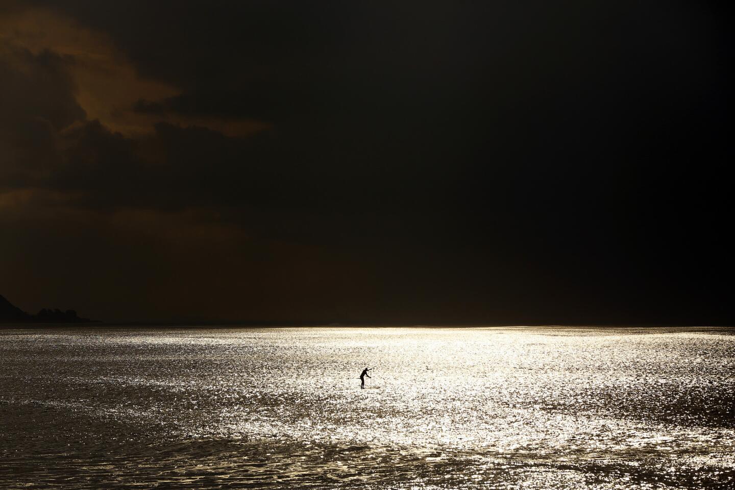
One of three storms forecast to hit Southern California this week blew in Tuesday morning, bringing scattered showers throughout the region.
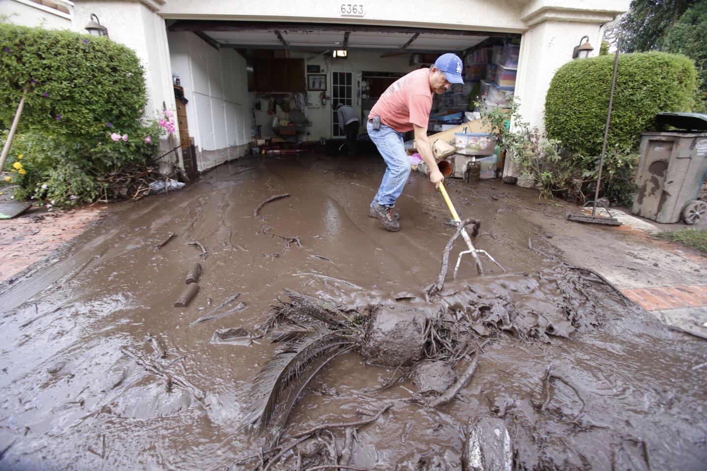
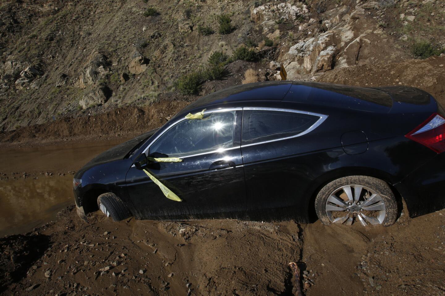
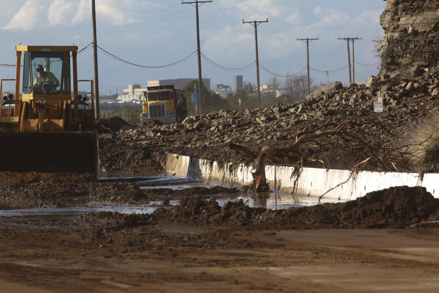
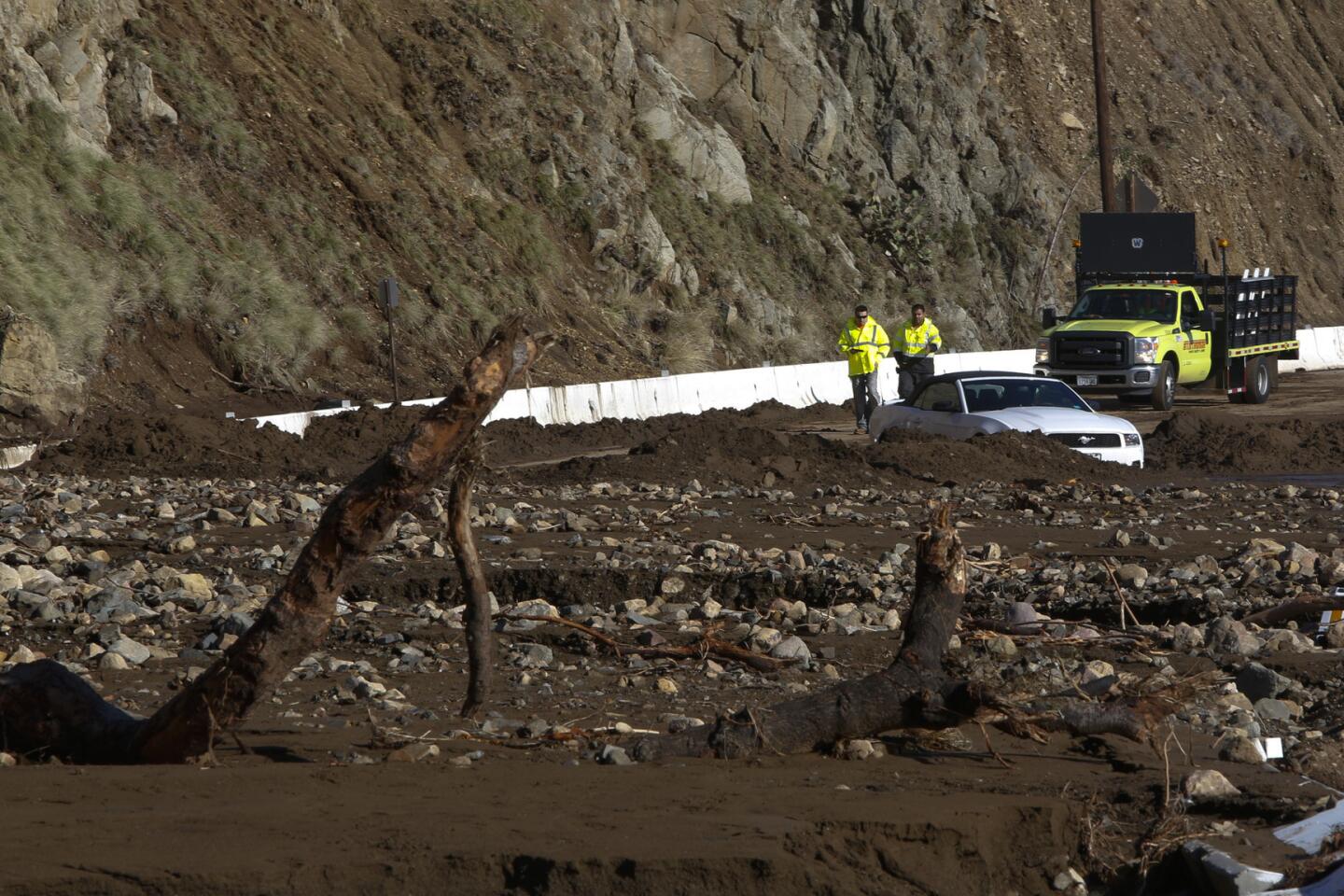
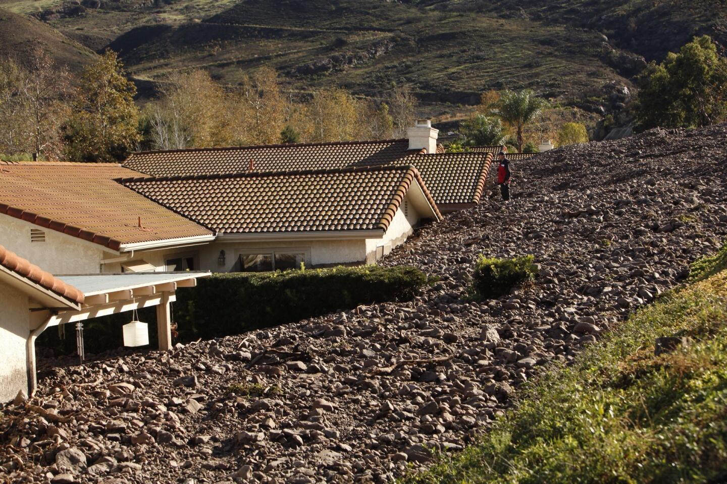
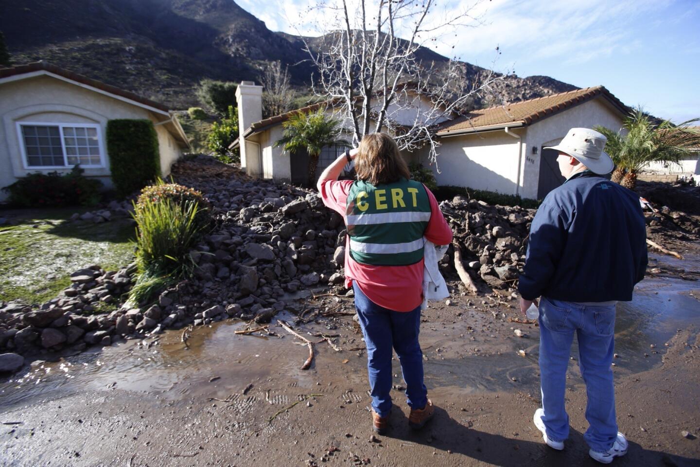
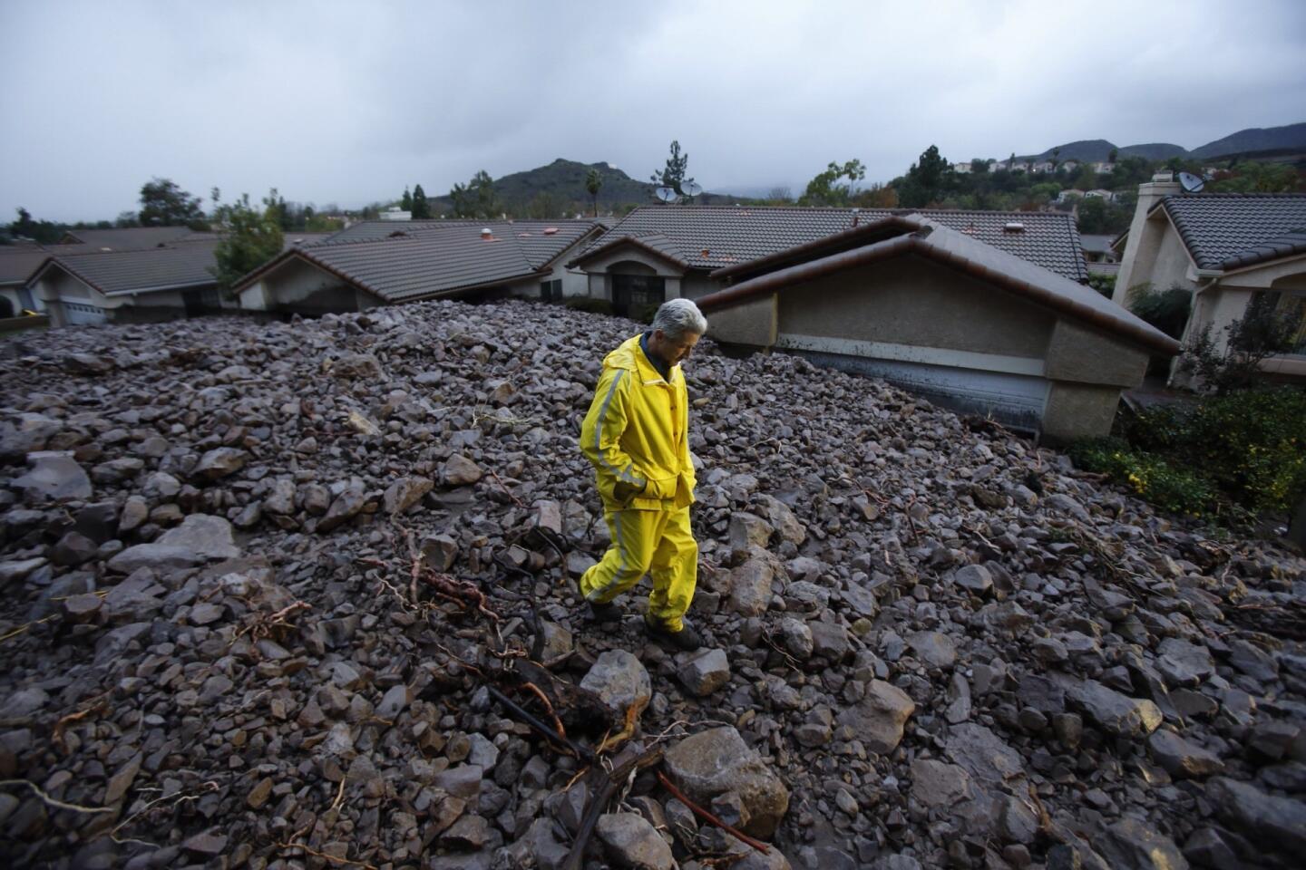
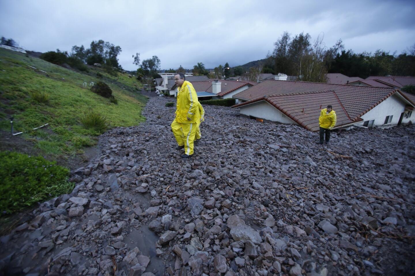
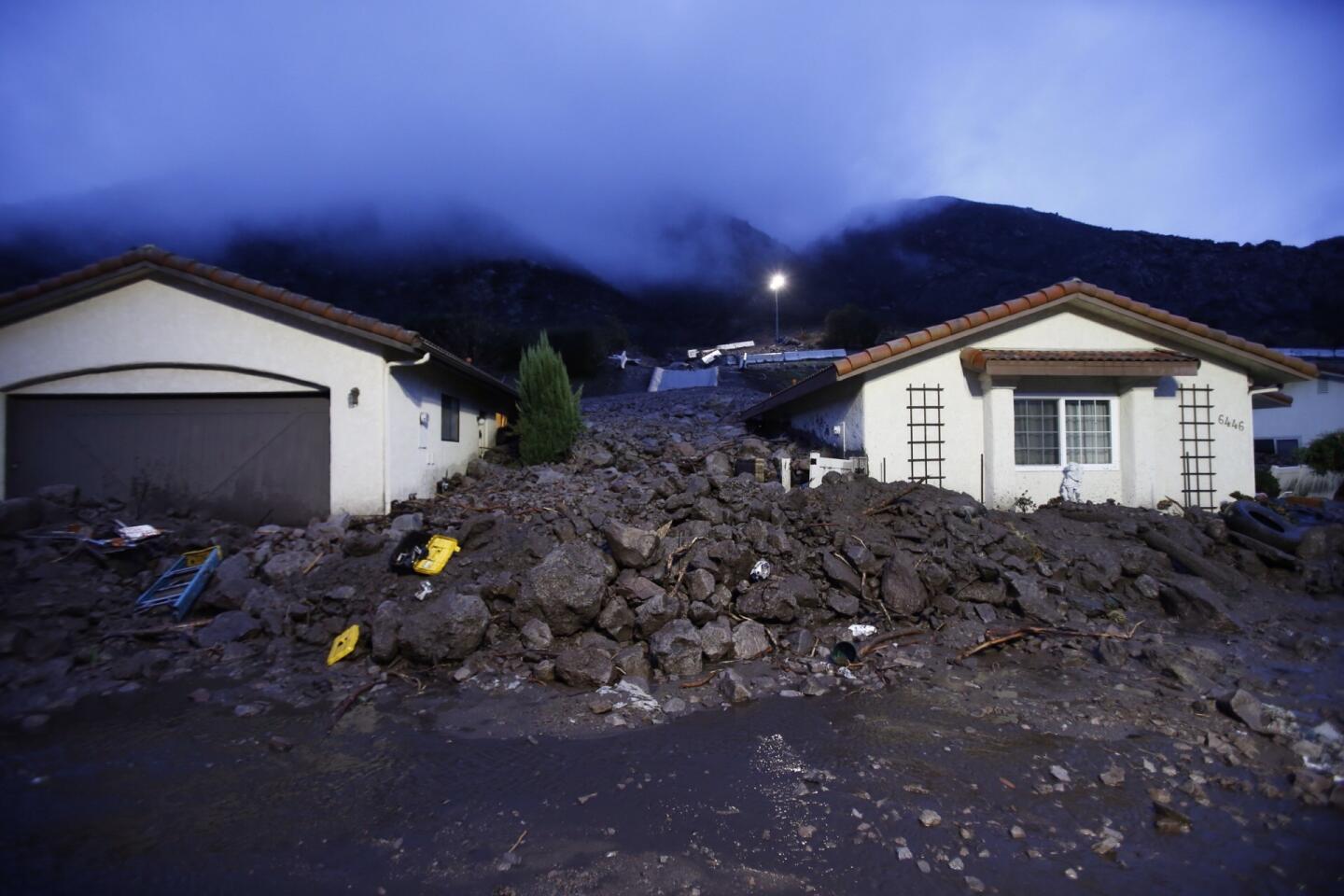
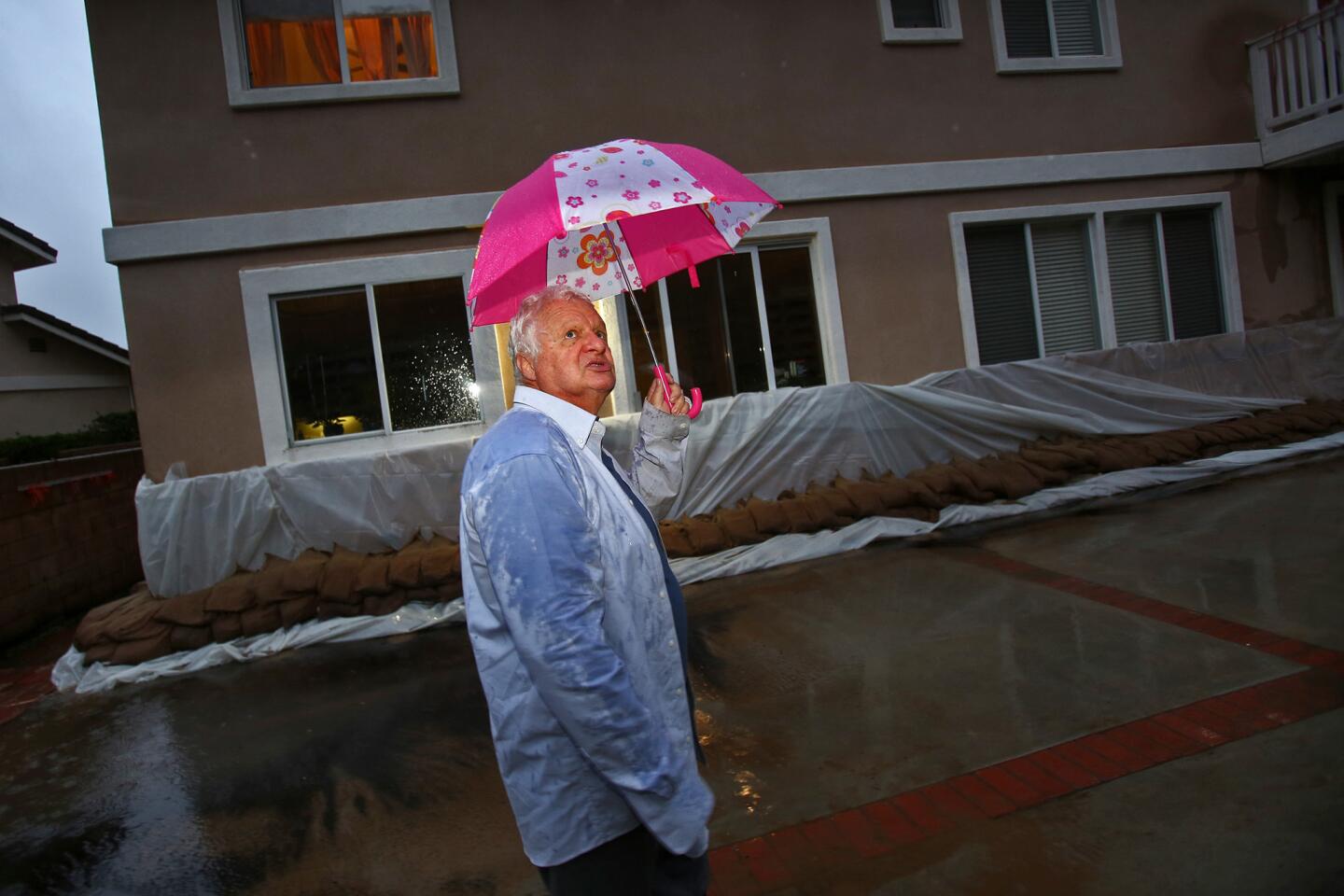
The storm system sprinkled light rain over the 2013 Springs fire burn area in Ventura County, but the National Weather Service reported that precipitation rates were below the level needed to set off significant debris flows in the Camarillo Springs neighborhood, which was devastated last week by a powerful storm that sent rocks and mud into homes.
“This storm was pretty light,” said National Weather Service meteorologist Andrew Rourke. “It’s a good one to keep our grass green.”
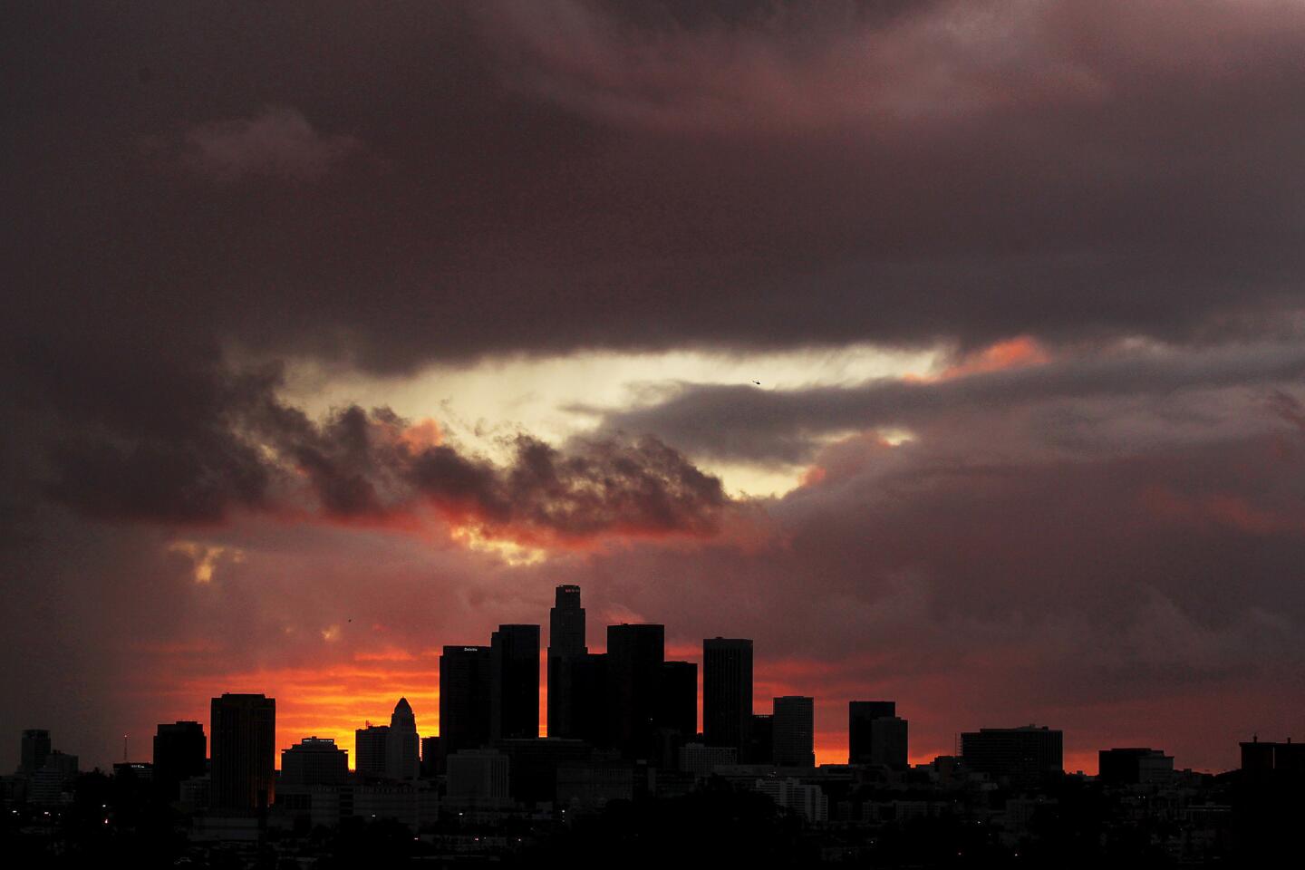
The current storm is expected to be followed Tuesday afternoon by a stronger, colder one that could bring some thunderstorms, according to the weather service.
Residents living in burn areas at risk for rock and mud slides “are going to have to be cautious with this storm,” Rourke said.
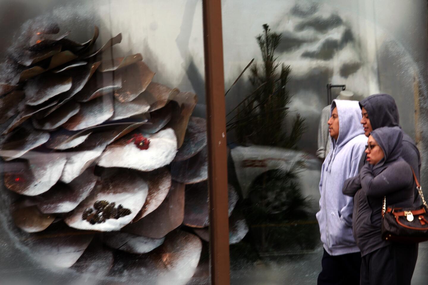
Snow levels are forecast to drop to 5,000 feet, and by Wednesday morning, some upper-elevation areas could get 4 to 8 inches, Rourke said.
The third storm, which should arrive Friday, will be the weakest, bringing light showers to San Luis Obispo County and cloudy skies to Los Angeles County, he said.
Elsewhere in California, the first system moved into Northern California early Monday, soaking Sacramento, the Bay Area and the Central Valley. Rain and snow are expected to continue in Northern California until Wednesday, with a brief break Thursday.
Snow levels dropped to 3,000 feet in north Shasta County and 4,000 feet over the Sierra.
In the Bay Area, this month has been the third-wettest December on record for San Jose, the weather service reported. San Francisco has received 9.14 inches of rain so far this month, a significant increase from last year, when it got only 2.08 inches from July 1 to Dec. 15.
For breaking news, follow @VeronicaRochaLA.
More to Read
Sign up for Essential California
The most important California stories and recommendations in your inbox every morning.
You may occasionally receive promotional content from the Los Angeles Times.
