L.A. sunshine will be short-lived. Here come showers and snow, forecasters say
- Share via
Don’t let Sunday morning’s clear skies and sunshine fool you, Angelenos. Forecasters say the chilly, overcast conditions that have characterized Southern California in recent weeks aren’t behind us quite yet.
Yet another Pacific storm — though a significantly smaller one than previous systems — is expected to arrive, and forecasters are urging travelers to plan before heading out this holiday weekend for mountain resorts where heavy rain earlier in the week prompted the closure of several highways.
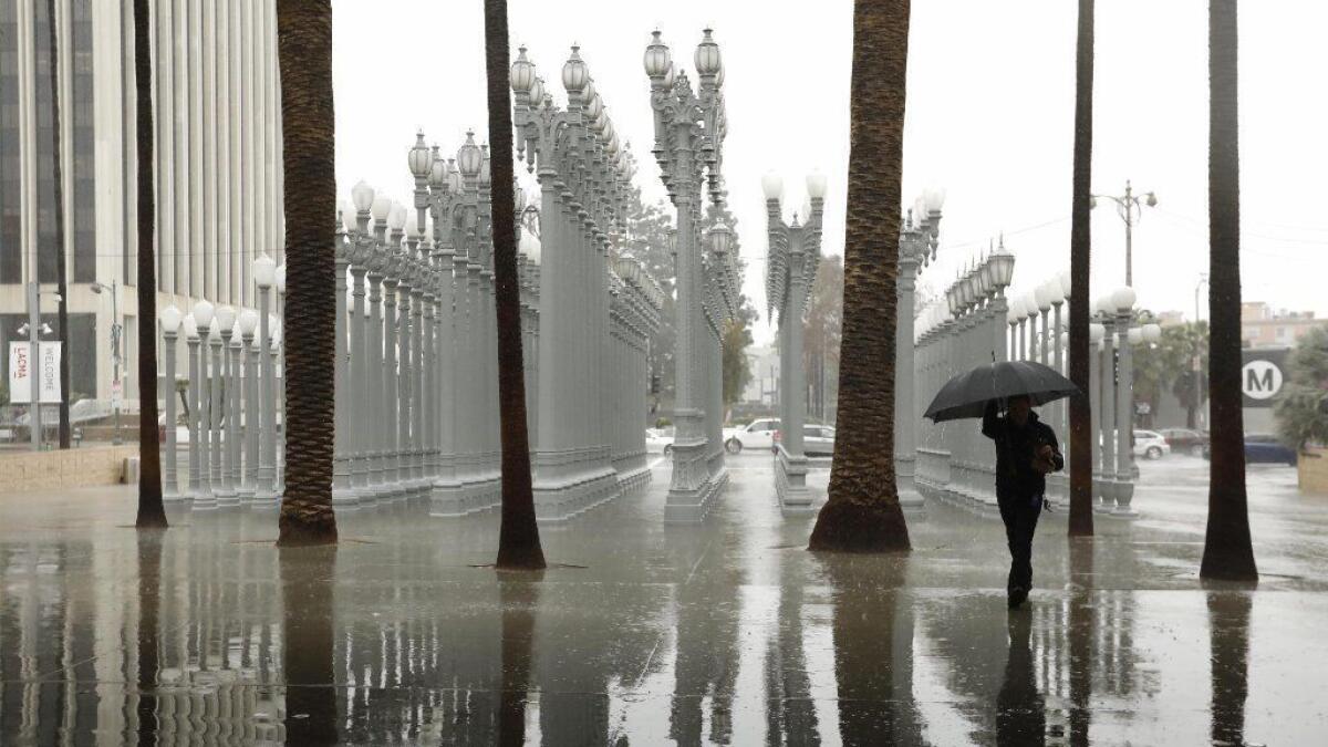
Scattered showers could bring roughly a quarter-inch of precipitation to Los Angeles County through Sunday before tapering off. But snow levels are expected to fall to 2,500 feet by Monday night in local mountains.
Pacific storms continue to pile snow onto Sierra Nevada snowpack »
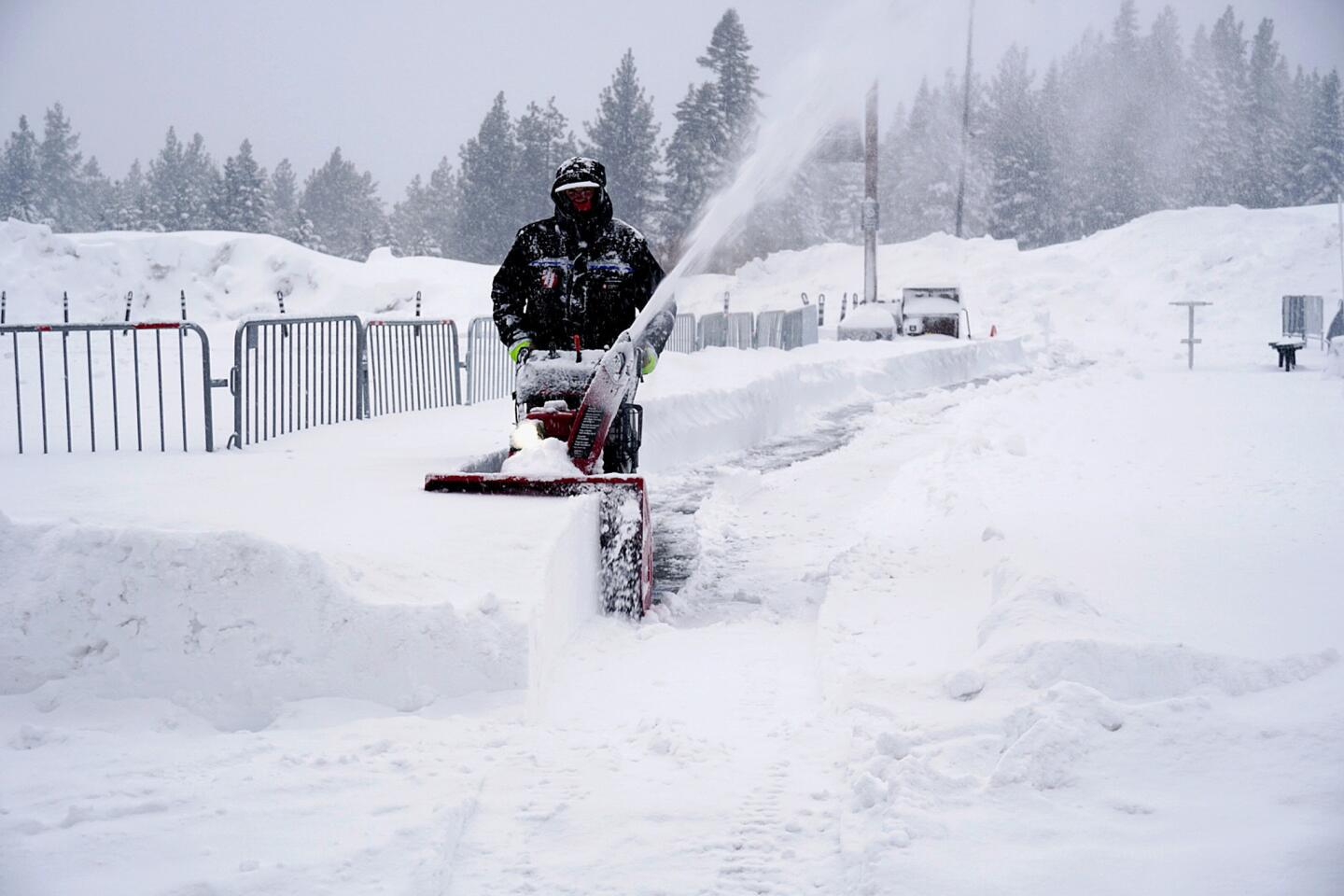
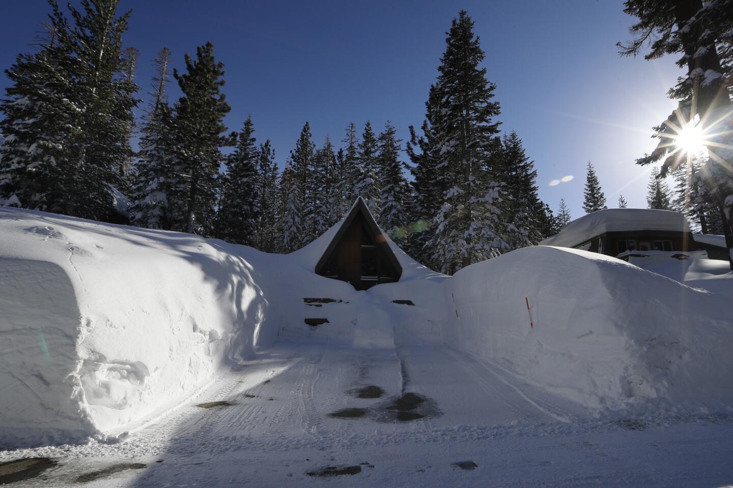
Caltrans officials said crews had been working around the clock for weeks to clear rock falls, debris flows and piles of snow off the region’s highways. The drop in snow elevation Sunday night could make the drive through the Tejon Pass in the Grapevine dicier than usual.
“That’s really the main concern — slick conditions on the major passes,” said Kathy Hoxsie, a meteorologist with the National Weather Service.
The storm was dropping rain on Santa Barbara County on Sunday morning but was expected to march toward Los Angeles by evening. Caltrans officials said drivers should consider leaving early for their destinations on Sunday or consider alternate routes.
“The concern is it’s a fast-moving storm,” said Caltrans spokesman Jim Medina. “There are questions on where it might hit and the snow level. We’re trying to be prepared as best as possible.”
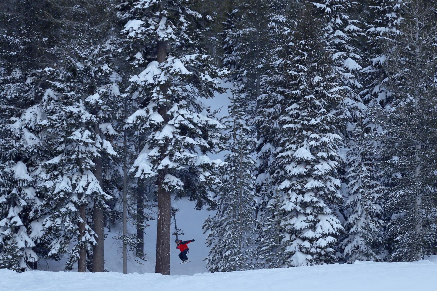
Forecasters predict up to 6 inches of fresh powder will fall at elevations above 5,000 feet, which could make weekend travel difficult. Lows will dip into the lower 40s in downtown Los Angeles and below freezing in the high desert, Hoxsie said.
A moisture-heavy atmospheric river brought intense downpours to California earlier in the week, triggering widespread flooding that prompted evacuations and even unleashed a mudslide that sent one home sliding into another in Marin County. The latest series of storms adds to an already wet winter for Californians.
Downtown Los Angeles saw 2.12 inches of rain in the 24-hour period that ended at midnight Friday. The area has seen 15.5 inches of rain this water year, which began Oct. 1, surpassing the average for the entire year of 14.93 inches. This represents the region getting 173% of average precipitation for this time of year. Typically, the downtown area sees less than 9 inches in that time frame.
With 14 of the last 20 water years — prior to this year — having been drier than average, forecasters say it’s not unusual for recent rainfall to surprise Californians.
“We’ve been lulled into a new normal with so much drought in the last several years,” said Miguel Miller, a meteorologist with the National Weather Service. “Now when it does rain normally, it seems like a lot. We’re not on a record pace, but we are definitely well above average.”
The latest storm, stemming from a low-pressure system that originated near Alaska, will bring colder temperatures and lower snow levels but much lighter rain than with the atmospheric river, forecasters said.
More to Read
Sign up for Essential California
The most important California stories and recommendations in your inbox every morning.
You may occasionally receive promotional content from the Los Angeles Times.
