Bay Area earthquakes struck on unusual section of San Andreas fault

- Share via
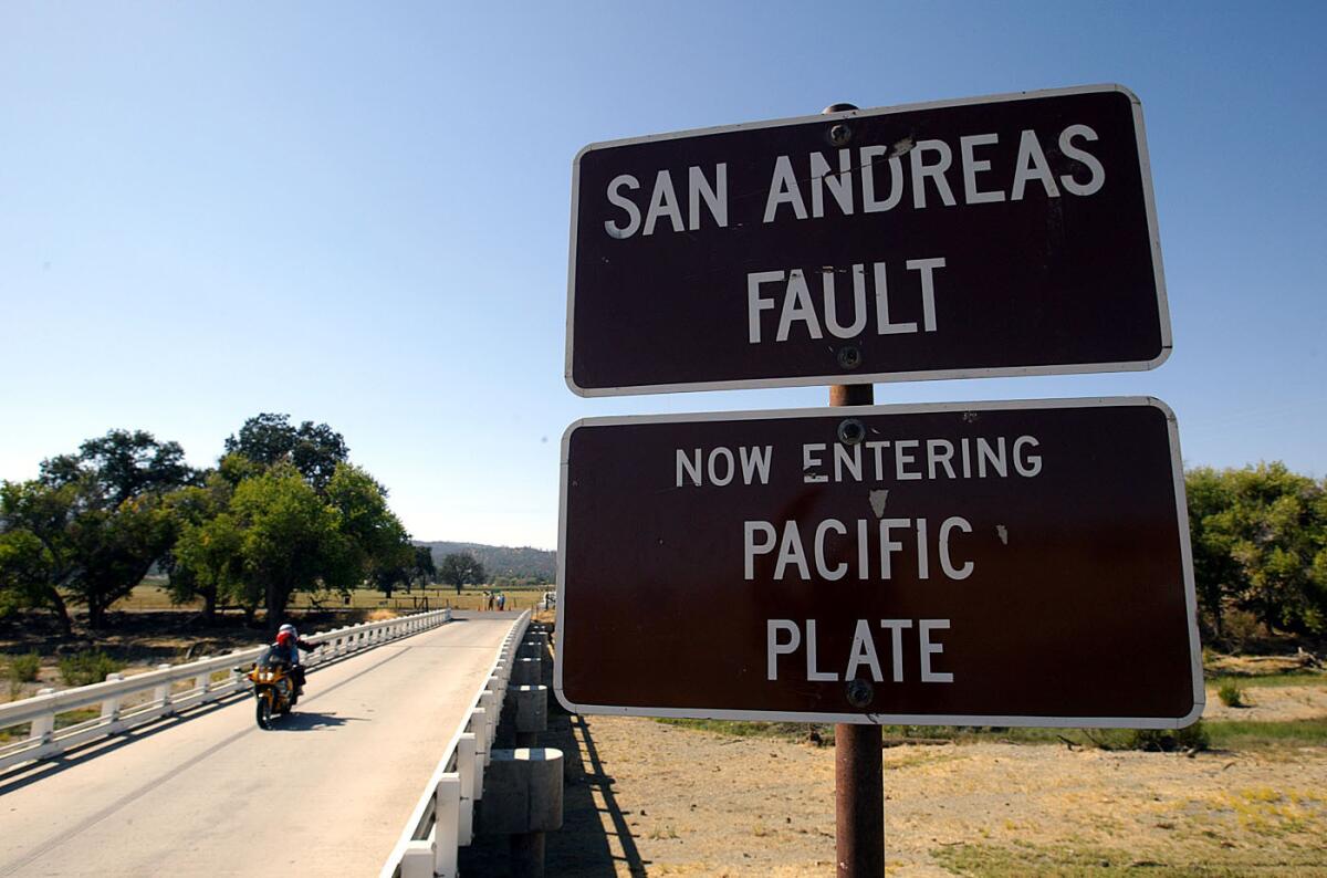
The magnitude 4.7 earthquake Tuesday east of Monterey Bay hit on a unique section of the San Andreas fault that has long generated interest from scientists.
The quake was felt across a wide area and caused no major damage. It was followed Wednesday morning with a 3.4 magnitude aftershock. But it offered a reminder of the San Andreas’ presence as a dangerous seismic presence in California.

The ‘creeping’ section
The San Andreas fault has produced devastating quakes in Northern and Southern California.
But Tuesday’s quake occurred along the so-called creeping section, a part of the fault notable for not having had dramatically large earthquakes in the modern historical record. Keith Knudsen, USGS geologist and deputy director of the agency’s Earthquake Science Center, called Tuesday’s quake “a garden variety San Andreas event” in this section.
“This is the 10th earthquake larger than magnitude 4 in the last 20 years in this area” within a radius of about six miles from Tuesday’s epicenter, Knudsen said.
Power to the north and south
The stretches of San Andreas north and south of the creeping section have acted very differently in the modern historical period, rupturing in the state’s largest catastrophic quakes on record.
About 300 miles of the northern San Andreas fault, between San Juan Bautista in San Benito County and Cape Mendocino, ruptured in the great 1906 earthquake that destroyed much of San Francisco in shaking and fire.
Here’s what we know about the San Francisco earthquake’s epicenter and the many fault lines in the region. Also, a map shows the places at risk.
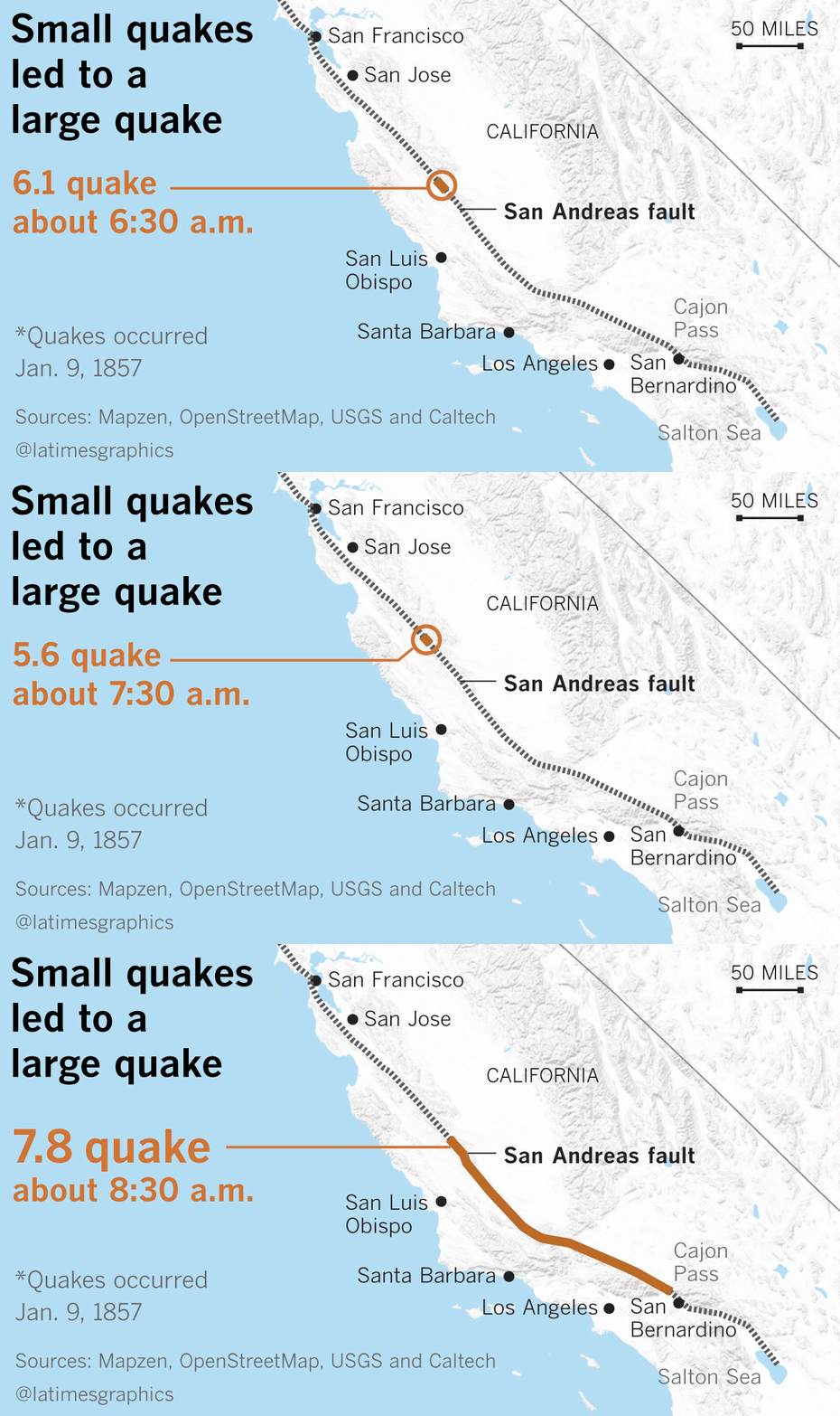
A 225-mile stretch of the southern San Andreas fault south of this creeping section, from Parkfield in Monterey County to Wrightwood in San Bernardino County, ruptured in the great 1857 earthquake, the most powerful event in modern Southern California history.
Both quakes are estimated to have been magnitude 7.8.
The 90-mile creeping section between San Juan Bautista and Parkfield hasn’t seen a big earthquake in the modern record. Scientists are continuing to study whether big earthquakes can continue to rupture through the creeping section of the San Andreas.
A lurking danger
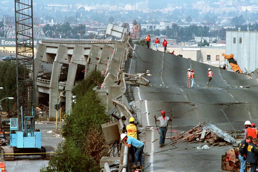
A big quake on the northern or southern San Andreas would be devastating.
The U.S. Geological Survey published a hypothetical scenario of a magnitude 7.8 earthquake on a 185-mile stretch of the southern San Andreas fault, from Imperial County to Los Angeles County. In this scenario, the quake would kill 1,800 people, injure 5,000, displace some 500,000 to 1 million people from their homes and hobble the region economically for a generation. It also would send strong shaking into Los Angeles, Orange, Riverside, San Bernardino, Kern and Ventura counties within minutes.
The necessity of stockpiling supplies became more pronounced after twin earthquakes rocked Southern California, yet many people still fail to prepare, experts say.
Here’s a list of strong quakes on the San Andreas fault over the last 200 years, according to the USGS and California Geological Survey:
1812, southern San Andreas and parts of San Jacinto fault, magnitude 7.5: The quake destroyed the Great Stone Church at Mission San Juan Capistrano, killing more than 40 people attending Mass.
1838, northern San Andreas fault, magnitude 7.4: Damage was reported from San Francisco to Santa Clara; the fault likely ruptured from Woodside on the peninsula south of San Francisco to Watsonville.
1857, southern San Andreas fault, magnitude 7.8: The fault was ruptured fault from southernmost Monterey County to the Cajon Pass in San Bernardino County; damage was reported from Monterey County to Los Angeles County.
1890, northern San Andreas fault, magnitude 6.8: The temblor occurred east of Watsonville; damage was reported in San Benito and Santa Cruz counties.
1906, northern San Andreas fault, magnitude 7.8: This was the great San Francisco earthquake; the San Andreas produced shaking waves from a long stretch of the fault, from Mendocino County to San Benito County. Experts estimated that the earthquake caused, directly or indirectly, more than 3,000 deaths.
More to Read
Sign up for Essential California
The most important California stories and recommendations in your inbox every morning.
You may occasionally receive promotional content from the Los Angeles Times.


