Camp fire death toll rises to 86 after burn victim dies in hospital
The death toll from the devastating Camp fire in Butte County, Calif., rose to 86 after an 80-year-old man died of his burn injuries, authorities said Tuesday.
Larry Smith of Paradise was burned Nov. 8 while attempting to put out flames that engulfed his car, the Butte County Sheriff’s Office said. He was flown to the UC Davis Firefighters Burn Institute Regional Burn Center, where he died Nov. 25.
Authorities also released the name of one other person who died in the blaze: Shirlee Teays, 90, of Paradise.
Of the 86 people killed, 52 have been identified. Three people are still missing.
Three more Camp fire victims identified
The Butte County Sheriff’s Office on Monday released the names of three more victims who died in the Camp fire.
Authorities identified the following people and have notified their families:
- Rafaela Andrade, 84, of Paradise
- Don Shores, 70, of Magalia
- Jean Forsman, 83, of Magalia
Of the 85 people killed in California’s deadliest blaze on record, 50 have been identified. Three people remain missing.
Woolsey fire victims identified as mother and son
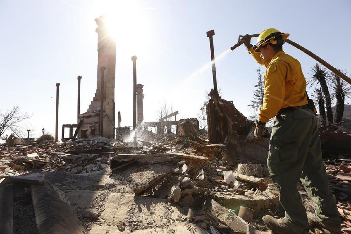
Los Angeles County coroner’s officials Monday identified a mother and son who died trying to escape flames in the destructive Woolsey fire.
Shoushan Baklayan, 82, and her son Anthony Noubar Baklayan, 57, died in a car Nov. 9 in the 33100 block of Mulholland Highway in Malibu, coroner’s officials said.
Authorities said that the younger Baklayan died of effects of thermal injuries; investigators have not determined a cause of death for his mother.
The two were among three people who died in the blaze. The third victim has not been identified.
The family released a statement through their spokesman, Brian Glicklich, in which they asked for privacy as they continue to grieve.
The blaze, which erupted Nov. 8, ripped through nearly 97,000 acres in Ventura and Los Angeles counties, destroying 1,500 structures.
Camp fire death toll is revised to 85
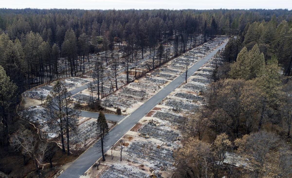
Authorities in Butte County revised the Camp fire death toll to 85 after investigators determined that, in three cases, human remains collected in multiple bags belonged to a single individual.
Butte County Sheriff Kory Honea said investigators had identified 43 victims.
For weeks, hundreds of searchers scoured 18,000 structures destroyed by the blaze looking for human remains, going over some areas more than once. Honea advised residents who head back to their neighborhoods in coming days to call the sheriff’s office if they find bones or bone fragments.
Investigators have accounted for all but 11 people reported missing in the wildfire.
Crews have been working to clear tree hazards on public roads, but urged residents to be cautious because they have not assessed private properties.
Strangers from Paradise support one another in hotel lobby far from home
Over the last few weeks, some Paradise evacuees have made a Best Western hotel home. They didn’t know each other before the fire, though they lived in the same small town for years and frequented the same haunts.
They have formed a little community at the Corning hotel around the waffle maker during breakfast, passing one another in the elevator and lounging in the lobby,
Around the table, they trade stories of dodging embers and feelings of guilt. Together, they try to make sense of the tragedy that unites them.
They are among thousands of Paradise residents who fled their homes the day the fire started and have not been allowed to return since. There is growing frustration at the pace of getting people back to see what is left of their properties as well as longer-term shelter plans for those who lost their homes.
Rain brings new dangers in Northern California areas burned in recent fires
As a series of rainstorms begins to move across the state, officials in areas recently scarred by wildfires are on high alert for potential mudslides and flash flooding.
The National Weather Service issued a warning of possible flash flooding in three counties in Northern California in advance of a storm expected to arrive late Wednesday.
Forecasters predict the second in a series of three storm systems this week could drop more than an inch of rain on the Camp fire burn area in Butte County; the Carr, Delta and Hirz fires burn areas in Shasta County; and the Mendocino Complex fire scar in Lake County.
Costs from Paradise fire will likely be in the billions, Zinke says
U.S. Interior Secretary Ryan Zinke returned to Paradise, Calif., on Monday, saying the cost of California’s worst fires would probably be in the billions and that care would have to be taken in rebuilding the city.
“When we rebuild, having a frank discussion whether it’s appropriate to rebuild every place is an important part of the equation,” he told the Associated Press in an interview.
Some victims of Paradise fire may never be found, officials say
Authorities are coming to terms with the possibility that the search for victims of the Camp fire might never be complete and that some human remains won’t ever be recovered.
“Is it possible that there could be a circumstance where someone was completely consumed by fire and therefore we wouldn’t have something that we could collect? I would say it is within the realm of possibility, unfortunately,” Butte County Sheriff Kory Honea said Monday.
“There’s nothing easy about this. This is just an unprecedented situation,” he added.
Read the latest here.
New storms bring fresh anxiety in Paradise
The first of three storm systems expected in wildfire-ravaged Butte County, Calif., dropped a smattering of rain Tuesday. Forecasters predicted about an inch of precipitation, saying the relatively weak system would sputter out by early Wednesday.
But a stronger storm will roll in late Wednesday, bringing with it the potential for debris flows and up to 3 inches of rain through Thursday night.
The Butte County Emergency Operations Center has prepared for the rain by clearing drainage culverts of debris, said Matt Gates, public information officer for the Paradise Police Department.
The California Conservation Corps also has been working on erosion-control measures for mountain slopes filled with fire-damaged pine and chaparral.
“Ash doesn’t absorb water, which complicates things,” Gates said.
A third storm could bring 2½ to 4 inches of rain to the charred region from Friday through Sunday.
“It’s the intensity that can cause debris flows,” said Eric Kurth, a meteorologist with the National Weather Service. “If the rain comes over time, there’s some opportunity for it to absorb or gradually run off. When we have rapid runoff, that’s when it can bring down entire hillsides.”
The soil in recently burned areas cannot absorb significant amounts of rainwater, so excessive precipitation can lead to fast-moving flows containing mud, debris and even trees and boulders. The devastation can be deadly and often comes without warning.
The rain is also expected to complicate the already challenging search for human remains among the rubble of the Camp fire.
Typically, crews scoop fire debris into a screen and sift it, looking for bone or bone fragments, but the ash and rain have mixed to form a clay-like substance, making the task nearly impossible. Officials have had to bring in water and gently wash away the clay to expose potential human remains in the charred mess.
Mountain lion P-74 believed killed in Woolsey fire
Officials say a mountain lion tracked by researchers probably died in a wildfire that tore through Southern California communities and wilderness areas.
The Santa Monica Mountains National Recreation Area tweeted Monday that there’s been no signal from the GPS collar on the young mountain lion dubbed P-74 since Nov. 9. That’s the day the Woolsey fire swept into the central part of the Santa Monica Mountains northwest of Los Angeles.
P-74 was a male born last year.
Several other mountain lions and bobcats monitored by scientists in the area have been located.
The huge fire charred a swath of national park land that’s home to the big cats and popular among hikers, mountain bikers and horseback riders.
The blaze burned 1,600 structures in and around Malibu and left three people dead.
88 dead and 203 still missing in Paradise fire zone
The death toll from California’s worst fire jumped to 88 on Monday with 203 people still missing, officials said.
Searchers have spent the last two weeks combing through the remains of Paradise, where much of the city was burned in the Camp fire.
Officials said Monday that they had covered a good portion of the city. It’s been a grim task, with most of the remains being found as just bones or bone fragments.
The fire, which burned more than 14,000 homes in the Paradise region, was fully contained Sunday morning.
A new rainstorm will move into the area in the coming days, and officials are worried that could make search efforts more difficult.
Officials believe mountain lion P-74 died in the Woolsey fire
Officials say a mountain lion tracked by researchers probably died in a wildfire that tore through Southern California communities and wilderness areas.
The Santa Monica Mountains National Recreation Area tweeted Monday that there’s been no signal from the GPS collar on the young mountain lion dubbed P-74 since Nov. 9. That’s the day the Woolsey fire swept into the central part of the Santa Monica Mountains northwest of Los Angeles.
P-74 was a male born last year.
Several other mountain lions and bobcats monitored by scientists in the area have been located.
The huge fire charred a swath of national park land that’s home to the big cats and popular among hikers, mountain bikers and horseback riders.
The blaze burned 1,600 structures in and around Malibu and left three people dead.
296 still missing in Paradise fire zone; 85 dead
As of Sunday night, the number of people missing stands at 296 in California’s worst wildfire on record.
The Butte County Sheriff’s Department said the death toll was at 85. Searchers spent the day looking for remains in the Paradise area, where 14,000 homes were lost in the Camp fire.
The number of missing has been going down as officials connect with people whose names are on the list. As of last week, it topped 1,000.
Searching for ‘anything that looks human’: Grim work in Paradise continues
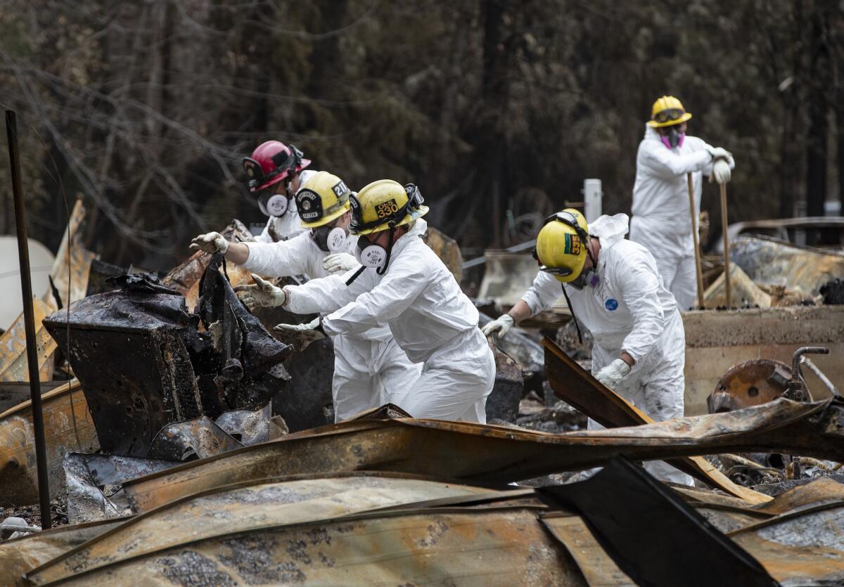
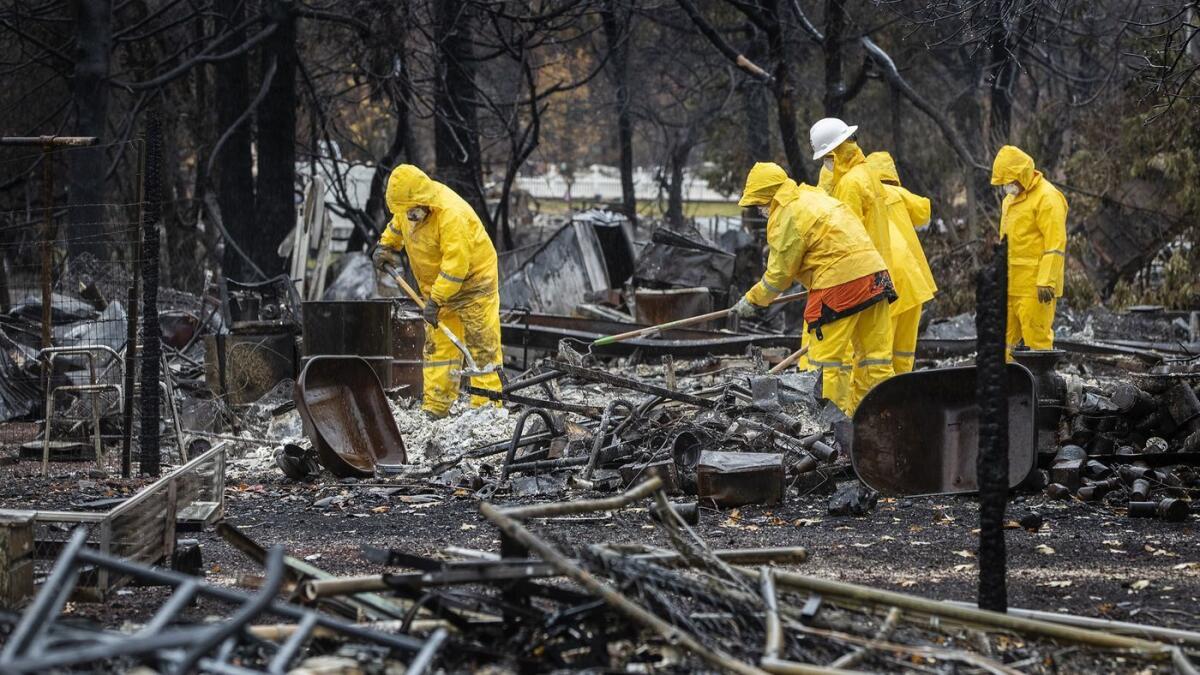
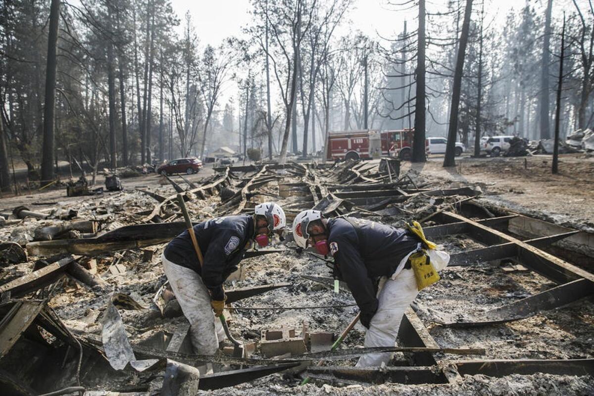
At the Ridgewood mobile home park for senior citizens in Paradise on Sunday, more than 100 search and rescue workers in white jumpsuits and gas masks combed through the rubble with shovels and rakes.
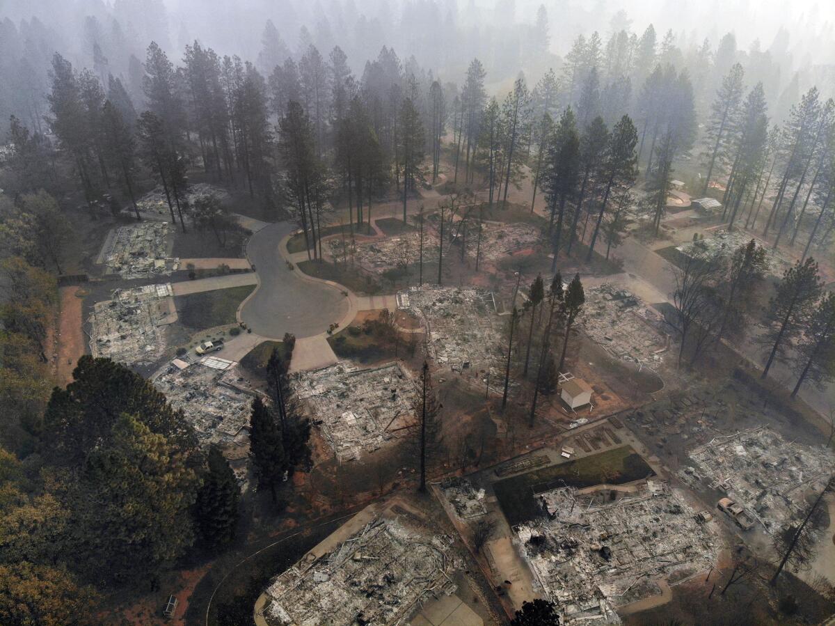
The surrounding pine trees were singed, ringing a neighborhood where every home had been reduced to charred, twisted wreckage.
Last week, searchers found the remains of two people there, said Sgt. Dave Thompson of the Sonoma County Sheriff’s Office.
On Sunday, the grim, painstaking task yielded some bones, including those of two small dogs. But none were human.
The searchers, many of whom are volunteers, also found a safe full of coins as they combed through Ridgewood and Ponderosa Mobile Estates next door.
“We’re going trailer by trailer, piece by piece, turning it over for anything that looks human,” said Thompson, who led an operation that drew searchers from counties such as Marin, Contra Costa, Shasta and Kern, as well as the National Guard and California Conservation Corps.
Facebook photos before the fire of the Ridgewood community at Pentz and Wagstaff roads, where residents were 55 years and older, showed tidy mobile homes with well-kept gardens.
The fire came over the ridge very fast, and senior citizens with limited mobility could have had trouble fleeing, Thompson said.
As teams wrapped up their work, Thompson dispatched them to other neighborhoods to continue searching for people who lost their lives in the fire.
Disaster assistance operations are extended in Malibu and Agoura Hills
Operations at disaster assistance centers in Malibu and Agoura Hills have been extended to keep helping residents affected by the Woolsey fire.
The centers, located at the former Malibu Courthouse and the Conrad N. Hilton Foundation in Agoura Hills, are scheduled to be open through Dec. 8. Hours of operation are between 1 to 8 p.m. from Monday to Thursday, and 10 a.m. to 6 p.m. Friday and Saturday.
At the centers, residents affected by the fire can get help filing insurance claims and applying for assistance from the Federal Emergency Management Agency. They can also receive advice on how to clean up, repair and rebuild their properties.
Woolsey fire destroyed 1,643 structures in destructive siege of Ventura County and Malibu
The Woolsey fire destroyed 1,643 structures as it swept through Oak Park and Ventura County and into Malibu, according to a final report released Sunday.
That makes it one of the most destructive fires in Southern California history, though it pales in comparison to the 14,000 homes lost in the Camp fire in Butte County.
Hundreds of evacuees from the Malibu, Agoura Hills and Thousand Oaks areas spent the holiday weekend returning to their burned-out neighborhoods to survey their damaged or destroyed homes and to begin rebuilding their lives. Some were still debating whether to stay or leave.
The Woolsey fire scorched more than 96,000 acres and left three people dead before it was fully contained on Thanksgiving Day, fire officials said.
Pono Barnes, a spokesman for the Los Angeles County Fire Department, said firefighters are working on encouraging residents to prepare for winter rainstorms that could move over the burn area.
“The whole landscape in the area has changed,” Barnes said. “The vegetation that was there to hold the ground together was burned off.”
Rain is helping firefighters battling Northern California fire, but a new storm could bring dangers
Light rains in the area have assisted firefighters in achieving 100% containment of Northern California’s devastating Camp fire, but most evacuations and road closures remain in effect. More than 1,000 firefighters remain on site, assisting with search and recovery efforts.
Full containment came as a big relief for fire officials, who noted that the rain sped up the process. Full containment was originally projected for Nov. 30.
“We didn’t get mudslides, so that was good,” said Brigitte Foster, fire prevention officer for the Lassen National Forest and spokeswoman for fire officials regarding the Camp fire. “We got enough to hamper down on the fire.”
The rains also gave officials the ability to reduce the number of fire personnel on duty and allow some to go home for the holiday weekend.
“We still have plenty of resources out there to work from the containment line and make sure there are no smoldering spots along the edge,” Foster said. “We still have search and rescue teams working in the area.”
And in preparation for residents being allowed to return to burn areas and assess property damage, crews were helping clear roadways and remove hazardous materials such as trees that could fall down. It’s unknown when evacuees will be able to return.
There are concerns about another storm approaching burn areas this week.
Rain is expected to move into the Camp fire burn areas beginning Tuesday and continue through the end of the week, according to the National Weather Service. Up to 3 inches could fall in some lower elevations, forecasters said. On Wednesday, the same system is expected to deliver a half-inch to 2 inches in burn areas in Southern California.
Woman returns to see ruins of Malibu drug treatment center: ‘This place saved my life’
Along Trancas Canyon Road on Saturday, a woman snapped photos of the blackened wreckage of what was once an alcohol and drug treatment center. A wedge of scorched wall stood at a tilt, like a listing ship, peering over the Pacific below. Someone had taped business cards to a wall bordering the site, advertising a restoration business, but it was hard to imagine what could be restored.
The woman, who declined to give her name, said she had been sober nearly seven months. “This place saved my life,” she said.
She stayed in Newbury Park after she was evacuated, and it was the first time she had gotten a moment to see what had become of Creative Care Inc. There were people she had gotten to know there who are now living out of state and wanted photos. “It’s sad,” she said. “But it’s just material.
“I have sobriety. I have life,” she said. “And they’ll rebuild.”
Read more here.
50,000 displaced by Northern California fire. Where will they go?
Across Butte County — a primarily agricultural area known for its walnut, almond and rice farms — towns are struggling to absorb the roughly 50,000 people displaced by the Camp fire. Through no fault of their own, the evacuees’ arrival has worsened the state’s housing crisis and raised the possibility that they could be evicted from the region again, not by fire but by a scarcity of suitable dwellings.
Hotels and motels from Sacramento to Redding are full. The vacancy rate in the rental market, which hovered around 3% before the fire, has fallen to near zero. Unable to find single-family homes in the area, evacuees have resorted to renting individual bedrooms, buying recreational vehicles and purchasing travel trailers. Others are simply leaving California for other Western states with a lower cost of living.
Read more here.
Northern California fire now 100% contained; 85 dead, 249 still missing
The worst fire in California history reached full containment Sunday morning, a milestone for a catastrophic inferno that killed at least 85 people with nearly 250 people still missing weeks later.
The Camp fire is now 100% contained, California Department of Forestry and Fire Protection said Sunday, after burning nearly 14,000 homes and consuming 153,000 acres in and around Paradise in Butte County.
Much of Paradise was lost in the fire, and search and rescue crews will continue looking through the ruins for more victims.
At one point, there were more than 1,300 people listed as missing from the fire. But that number has been dropping in recent days. Over the weekend, it declined from more than 400 to 249 as officials were able to confirm more people on the list were actually alive.
Several days of rain last week helped firefighters get a handle on the fire.
Authorities expect the removal of ash and other toxic debris from the fire will be the largest such effort ever undertaken by state officials.
The amount of debris is expected to dwarf the cleanup effort undertaken from last year’s Northern California fires. That effort led to more than 2 million tons of toxic debris removed from 6,000 properties in seven California counties: Sonoma, Napa, Lake, Mendocino, Butte, Yuba and Nevada, said Eric Lamoureux of the Governor’s Office of Emergency Services.
County, state and federal governments jump start the process of removal of toxic ash and other debris, and can do so at no cost to the owner, Lamoureux said. Typically, about 80% of owners give the government permission to conduct the cleanup operations, with the rest opting to do it themselves.
Schools devastated by California fire struggle to get back to the business of educating students
As this region still reels from the worst fire in California history, educators are faced with the challenging task of reopening schools even as the firefighters continue their work and searchers scour the area for more victims.
They are working to identify replacement classroom space for schools that were burned to ashes during the fire.
Paradise Unified School District was hardest hit, with multiple school buildings lost to the fires. Charter schools in the area also suffered.
Read more here.
Paradise fire search efforts pick up as firefighters increase containment
The worst fire in California remained 95% contained Saturday morning.
Rains helped put out the flames but also made it harder for firefighters to access some areas.
“The fireline that remains uncontained is located in steep and rugged terrain where it is unsafe for firefighters to access due to the heavy rains,” CalFire said in a statement.
With the rain passing, officials hope to intensify search and rescue efforts, with more than 400 still reported missing.
The fire burned 153,336 acres and nearly 14,000 homes, with 84 dead.
Some Malibu residents still under evacuation order
In Malibu, some residents who evacuated from the Woolsey fire were still waiting to return home as officials worked to restore utilities and road access. That fire, which charred 96,949 acres and destroyed 1,643 structures, is 100% contained. Three people were killed.
“There is still a lot of work to be done,” said Los Angeles County Fire Department spokesman Pono Barnes. “Strike teams are in the area helping residents repopulate.”
Firefighters’ biggest job Friday was working with Southern California Edison and Southern California Gas Co., Barnes said.
“There was quite a bit of infrastructure damaged during the burn,” he said. “Edison is working to replace downed power lines and burned-out power poles.”
As many as 2,000 power poles have been replaced, he said.
“That is why we still have some evacuations in place,” Barnes added.
A wheelchair and gurney sit in rain amid devastation of Paradise medical complex
The grim search for victims continued in Paradise on Saturday amid the rain.
Times photographer Gina Ferazzi was struck by the image of an abandoned wheelchair and gurney in front of the destroyed Cypress Meadows post-acute medical facility.
“The rain is making the devastation in Paradise even more eerie and sad,” she wrote.
Wildfire much worse because of climate change, new report finds
A new federal report found that climate change is taking an increasing toll on communities across the United States. It projects widespread and growing devastation as increasing temperatures, rising sea levels, worsening wildfires, more intense storms and other cascading effects harm our ecosystems, infrastructure and society.
Among the findings: The area burned across the western U.S. from 1984 to 2015 was twice what it would have been if climate change had not occurred, according to analyses cited in the report.
“Earth’s climate is now changing faster than at any point in the history of modern civilization, primarily as a result of human activities,” the report says. “But the severity of future impacts will depend largely on actions taken to reduce greenhouse gas emissions and to adapt to the changes that will occur.”
The report comes as California faces a series of devastating wildfires that have claimed scores of lives and burned thousands of homes.
Read more on the report here.
He’s giving $1 million to help the high school students of fire-ravaged Paradise
With many of their homes damaged or destroyed in the state’s most devastating wildfire on record, the students of Paradise High School face an uncertain future.
On Tuesday, a man they have never met from a city more than 500 miles away will give them a gift he hopes will provide at least a small measure of security, support and comfort in a dark hour.
Rancho Santa Fe businessman Bob Wilson plans to personally deliver a $1,000 check to each of the school’s 980 students and 105 employees in Chico at a venue that has yet to be determined. That’s a total of $1 million for the wildfire victims to use as they see fit, no strings attached.
Camp fire now 95% contained, with help from rain
Firefighters battling California’s deadliest fire on record continued to make progress Friday, with containment growing to 95% and the number of homes burned at nearly 14,000.
The Camp fire has scorched more than 153,000 acres and killed at least 84 people in Butte County, according to California Department of Forestry and Fire Protection officials. But hundreds of residents are still missing, and thousands more have been displaced by the massive blaze.
Another Camp fire death recorded as rain lessens fire danger
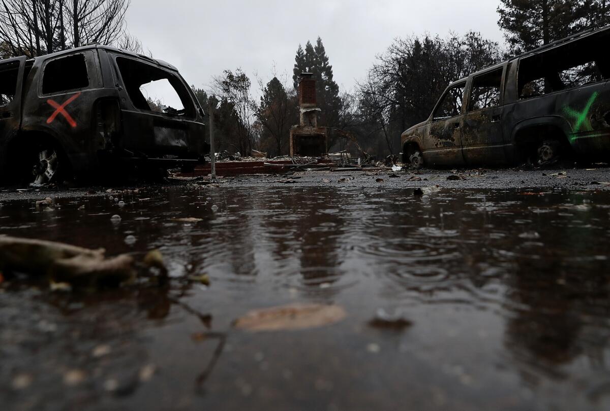
Another day of searching, another grim finding.
The death toll from the Camp fire rose by one Thursday to 84, on a day when rain seemed to halt further growth of the state’s deadliest blaze.
By Thursday evening, the Jarbo Gap, where the fire probably started, had received just over an inch of rain in the preceding 24 hours, according to the National Weather Service. Rain totals varied across the region.
The forecast calls for more.
In the nearby town of Paradise, which was nearly obliterated by the fire, the forecast for Thursday night was more showers, heavy at times, with winds of 18 to 24 mph and gusts as high as 37 mph.
Such winds would have fueled the fire just days ago, but instead they are harbingers of precipitation that is expected to drop three-quarters of an inch to 1 inch of rainfall Thursday night.
Another 1 to 2½ inches could fall Friday.
The wet weather has helped bring containment of the fire to an estimated 95% as of Thursday evening. But it also brought damp, chilly discomfort to evacuees living in tents — thousands of residents have been displaced — and new worries about potentially deadly mudslides in burned areas. A flash-flood watch and wind advisory will remain in effect until 4 p.m. Friday.
The rain also complicates the search for human remains, which could be washed away. Hundreds of people are still unaccounted for.
Crews also are involved in another grim tally, figuring out exactly which homes and business burned. Officials have released a preliminary interactive map that shows the damage, house by house.
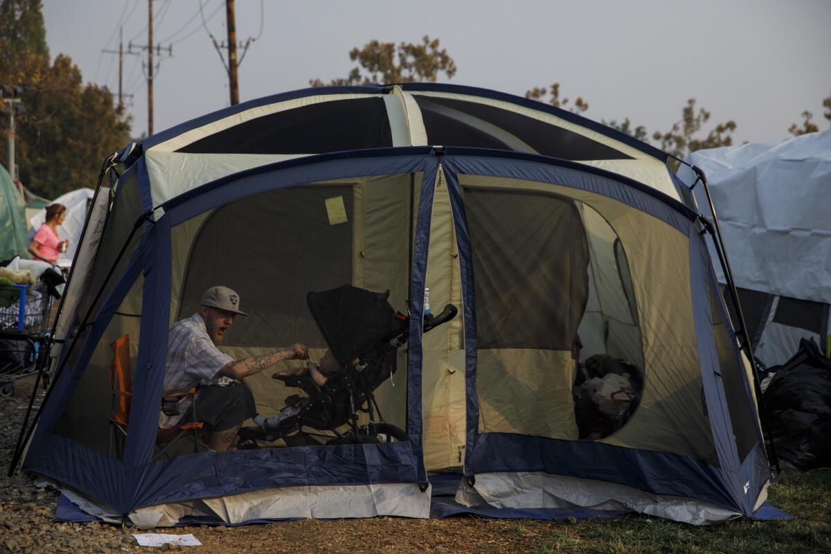
Malibu schools to reopen by early December; other schools aiming for Monday
Schools in Malibu survived the Woolsey fire almost intact but they got very dirty, and cleanup efforts will keep campuses closed even as residents are allowed to return to their properties.
The fire killed three people, burned 97,000 acres and destroyed 1,500 structures. Malibu’s four schools have been closed since Nov. 9, when they were included in the mandatory evacuation zones.
The tentative date to reopen Webster Elementary is Nov. 28. Point Dume Marine Science School is scheduled to reopen Dec. 3. Juan Cabrillo Elementary School should be ready between Dec. 3 and Dec. 5, pending results of air testing inside and outside for traces of lead, asbestos and polychlorinated biphenyls (PCBs). Malibu High will be back in business between Dec. 4 and Dec. 10
The district had planned a swifter reopening but slowed down out of an abundance of caution, spokeswoman Gail Pinsker said.
“We are hearing from parents that they want thorough cleaning and testing, which we plan, but the cleaning and testing and waiting for results take a day to more than a week,” she said.
Three other districts in the region also had closed campuses. Schools in Conejo Valley Unified, Oak Park Unified and Las Virgenes Unified are aiming to reopen Monday.
Residents who had to evacuate included Las Virgenes Supt. Daniel Stepenosky, who estimated that about 90 families with district students lost their homes, as did two staff members.
In a video update on social media, he said that everyone is eager for schools to reopen: “Everyone wants to get back to a state of normalcy, to be honest with you.”
To that end, a crew of 200 has been working for several days, and the district had brought in 300 air scrubbers and 300 hydroxyl deodorizers. Playgrounds that are not ready by Monday will be cordoned off.
Stepenosky said that a “full-court press” will continue because “the schools are really boring when they’re empty.”
A photographer’s personal journey through the devastation of Paradise
Times photographer Marcus Yam shared on Twitter a very personal photo essay about the victims of Paradise.
“This #thanksgiving we should to take a moment for the victims of the #CampFire,” he wrote. “So many families will not be spending #Thanksgiving in the comfort of their own homes. Take a moment to think about them.
Read the whole thread here.
‘We can make ugly pretty again’: The fighting spirit of Paradise residents

Anna Longacre booked her flight home months ago.
Back then, the 26-year-old Army sergeant imagined the comforts that awaited her Thanksgiving week, the things that never change no matter how far away from Paradise, Calif., the military takes her.
The old cast-iron stove that warmed the entire house during winter. The small stone-fruit orchard that ran along the side and back. Her dad’s breakfast hash browns.
Anna’s family had lived on their 3-acre lot in the Sierra Nevada foothills for 20 years. She moved away at 18 and has been stationed in Afghanistan, South Korea and Kansas.
But her heart stayed in Paradise.
Instead of being home Thanksgiving morning, she found herself in a cavernous auditorium at Cal State Chico, where turkey and fixings had been prepared for evacuees of California’s deadliest and most destructive wildfire.
She dragged her dad, Bruce, with her. She wanted to get him out of her grandma’s house in Chico, where they’d been staying with her mom and dogs. And she had heard celebrity chefs Guy Fieri and José Andrés were making the food. It couldn’t hurt to try and have a little fun, she thought, despite everything.
The father and daughter were greeted by volunteers in plush turkey hats and handed sanitary wipes at the door.
Stories of thanks and gratitude amid the devastation in Paradise

As of Thanksgiving Day, the devastation logged by the Camp fire in Northern California was nearly 14,000 homes, more than 150,000 acres and at least 83 lives.
Some of the thousands displaced by the fire, mostly from the town of Paradise, said they nonetheless counted themselves among the lucky and found things to be grateful for this Thanksgiving.
Times reporters on the ground in Butte County asked people about the meaning of this holiday.
California’s tab to fight Camp and Woolsey fires tops $118 million
California’s costs to fight two deadly wildfires that ignited less than two weeks ago have already topped $118 million — a sizable financial hit to a program that needed an unexpected cash infusion just two months ago.
Cal Fire officials said Tuesday that $589.7 million has been paid out by the state’s fire emergency, or “e-fund,” account since July 1. Officials are poised to free up additional dollars before lawmakers consider a new state budget early next year.
Read more here.
Rapid DNA analysis is being used to identify dozens of California fire victims
Rapid DNA analysis is being used to identify dozens of California fire victims burned beyond recognition. Of 83 victims, sheriff’s officials have made tentative identifications on 58 of them, but they await DNA confirmation.
“We’re working diligently to identify those individuals so that we can contact their next of kin and notify them,” said Butte County Sheriff Kory Honea.
It used to be that DNA analysis could take months before answers would firm up, but now DNA analysis can be done within a matter of hours, Jim Davis of Ande, a Massachusetts-based company that specializes in rapid DNA analysis, said at a press conference in Chico on Wednesday.
Davis said his company has been asked by the sheriff to use its rapid DNA analysis method to help identify victims in a mass casualty incident the first time his company has been asked to do so for this purpose.
Davis said he’s working with the coroner’s office in Sacramento County to collect tissue samples from the autopsies of the deceased; 80% of the time, those samples are usable for DNA analysis. Butte County sheriff and California Department of Justice officials are coordinating the collection of DNA samples from living relatives.
Air quality finally improves in Northern California thanks to rain
The rains in Northern California have finally improved the air quality.
Smoke from the Camp Fire had brought unhealthful air quality to the Bay Area and Sacramento Valley for more than a week.
A second storm was moving into Northern California tonight, with rain in the forecast Friday.
She lost her home and dogs in the Paradise fire. This Thanksgiving is difficult, but she’s grateful to be alive
Tamra Gray’s Facebook friends have started posting photos of their newly decorated Christmas trees. When she stumbles upon this display of normalcy, she can barely hold it together.
“It’s hard to think about the holidays right now,” she said as she sat at a table in the Chico Mall food court, where she and her husband were discussing their options with a home insurance company representative. “I don’t have a home to put a tree in right now.”
Gray and her husband, Scott, lived in their Paradise home on Oak Way for 20 years. What she will miss the most are the pine trees in her backyard and the cool shade they provided, a simple pleasure she could count on even when the mercury hit 100.
At 10 a.m. on the day of the fire, Gray’s 19-year-old son, Dylan, came running down the street. He had gotten stuck in gridlock traffic on Wagstaff Road, and seeing the plumes of black smoke ahead of him, he ditched his car in the closest parking lot and darted home, the only one he’s ever known. “There’s a fire, we gotta get out,” he shouted. They had not received an evacuation alert.
Gray did not think the house would burn. They lived a block from a fire station. Before leaving, she touched a redwood keepsake box that contained her children’s first teeth. “If I take this to a shelter, it could get stolen,” she thought. She left it.
The family also left three dogs behind, taking several others with them in separate cars. Gray’s thinking was this: if there was looting, the big dogs would protect the home. Gray found the animals’ remains when she returned to Paradise last week. She is consumed by guilt.
Gray and her family -- four adults and two kids -- are staying in an RV as they search for a rental. Her 29-year-old daughter, Shannon, also lost her home in Magalia.
“I feel lost. I just feel so homesick and I can’t seem to get past that yet,” Gray said, tearing up. “It’s hard for me to think about where I want to be in the future.”
Just as she was being asked what she was grateful for on the eve of Thanksgiving, Gray’s teenage daughter, Victoria, bounded up to her in the food court with several shopping bags in her hand.
“I got you shoes,” Victoria said, pulling out a pair of gray Champion slip-ons. “They were on sale.”
Gray tugged off one of the brown Ugg boots she got at a shelter. She tried on a sneaker.
“I’m grateful that my family made it out alive,” Gray said, returning to the question. “It’s easy to answer that when it’s staring me right in the face. It’s when I’m alone that I go into a dark place.”
‘You could feel the heat from the flames’: Paradise survivor describes horror, survival
They called it their little green house in the forest. A two-bedroom mobile home with a birdbath out front on Skyway road where deer and bobcats roamed.
It is likely gone, they think, because they have seen a map of the burn area — a cloud of red over where they lived for four years.
Steve Weathington, 67, and his girlfriend, Irene Schwab, 65, now lay their heads on green cots in an exhibit hall at the Yuba-Sutter Fairgrounds. Their possessions are few, but they made it out with their two trucks, two dogs and two cats. A fortune, they know, compared with what others escaped with.
The morning the fire broke out, the couple had sat down to waffles and eggs when they noticed the sky was a smoky orange. Schwab went outside to settle a patio umbrella that was thrashing in the wind. A manager of their mobile home park had begun driving around, honking.
Grabbing clothes, toiletries, medicine and the animals, Weathington hopped into his truck. Schwab followed behind in hers.
“It was burning on both sides of the road,” Schwab recalled. “You could feel the heat from the flames.” It took them more than three hours to get to Chico, usually a 25-minute drive.
They are grateful to be alive, to have had insurance on their home, to be capable and willing to start somewhere new. They may stay and find a place in Yuba City, a community they’ve grown to appreciate. When they venture out of the shelter, an act of kindness is usually bestowed upon them. Waitresses have bought them dinner, a barber refused money for a haircut. They have picked out clothes for free and marveled over the donations that file in daily.
“We get a little teary-eyed because it’s really emotional,” said Weathington, a retired commercial painter and U.S. Marines veteran, his eyes growing red.
Still, the timing of everything is hard to take. The couple used to host Thanksgiving dinner for family with a spread of traditional fare, including pumpkin cheesecake and homemade biscuits. The holiday rings a bit hollow now, eliciting memories of what they once had.
Number of homes lost in Paradise fire approaches 14,000 as containment increases
Firefighters continued to make progress with California’s deadliest fire, with containment rising to 90% but with number of homes burned now at nearly 14,000.
At least 83 people were killed when the fire swept into Paradise two weeks ago, and hundreds are still missing,
Rain helped firefighters, but the weather has made the search for victims more difficult.
“Precipitation has minimized fire activity and all fire lines continue to hold. Firefighters and resources continue to be deployed throughout the fire area to patrol and remove hazards,” Cal Fire said Thursday morning.
Camp fire death toll increases to 83, while 563 still missing
The remains of two more people were recovered in the Camp fire burn zone Wednesday, raising the death toll in the blaze to 83.
One person was found in a structure in Paradise, while the other was located in a structure in Magalia, Butte County Sheriff Kory Honea told reporters at a news conference.
“We’re working diligently to identify those individuals so we can contact their next of kin and notify them,” Honea said, adding that investigators have tentatively identified 58 of the dead.
Authorities have identified six more people who died in the blaze. They are:
- Teresa Ammans, 82, of Paradise
- Richard Brown, 74, of Concow
- Marie Wehe, 78, of Concow
- Kimber Wehr, 53, of Paradise
- Joseph Rabetoy, 39, of Paradise
- Joan Tracy, 80, of Paradise
About 830 searchers will work on Thanksgiving to look for victims of the blaze, though the search could be suspended if rain triggers mudflows in the area.
The number of people unaccounted for dropped to 563. A total of 2,052 people have been crossed off the missing-persons list.
“That’s a dynamic list,” Honea said. “You may see it go up or down depending on the information we receive during the course of the day.”
The blaze has scorched more than 153,000 acres and destroyed more than 18,000 structures, including 13,500 single-family homes. It was 85% contained.
The heavy rain has minimized fire activity.
“That fire activity is almost nothing,“said Josh Bischof of the California Dept. of Forestry and Fire Protection. Forecasters expect six inches of rain to fall across the burn area through Friday.
Butte County Dist. Atty. Michael Ramsey said his office has put together a team to deal with price gouging.
“People are not allowed to jack up prices more than 10% of what they were before the fires,” he said, adding that people can call (866) 323-6283 to report price gouging.
Rain pours down on tent city of Paradise evacuees, causing new problems
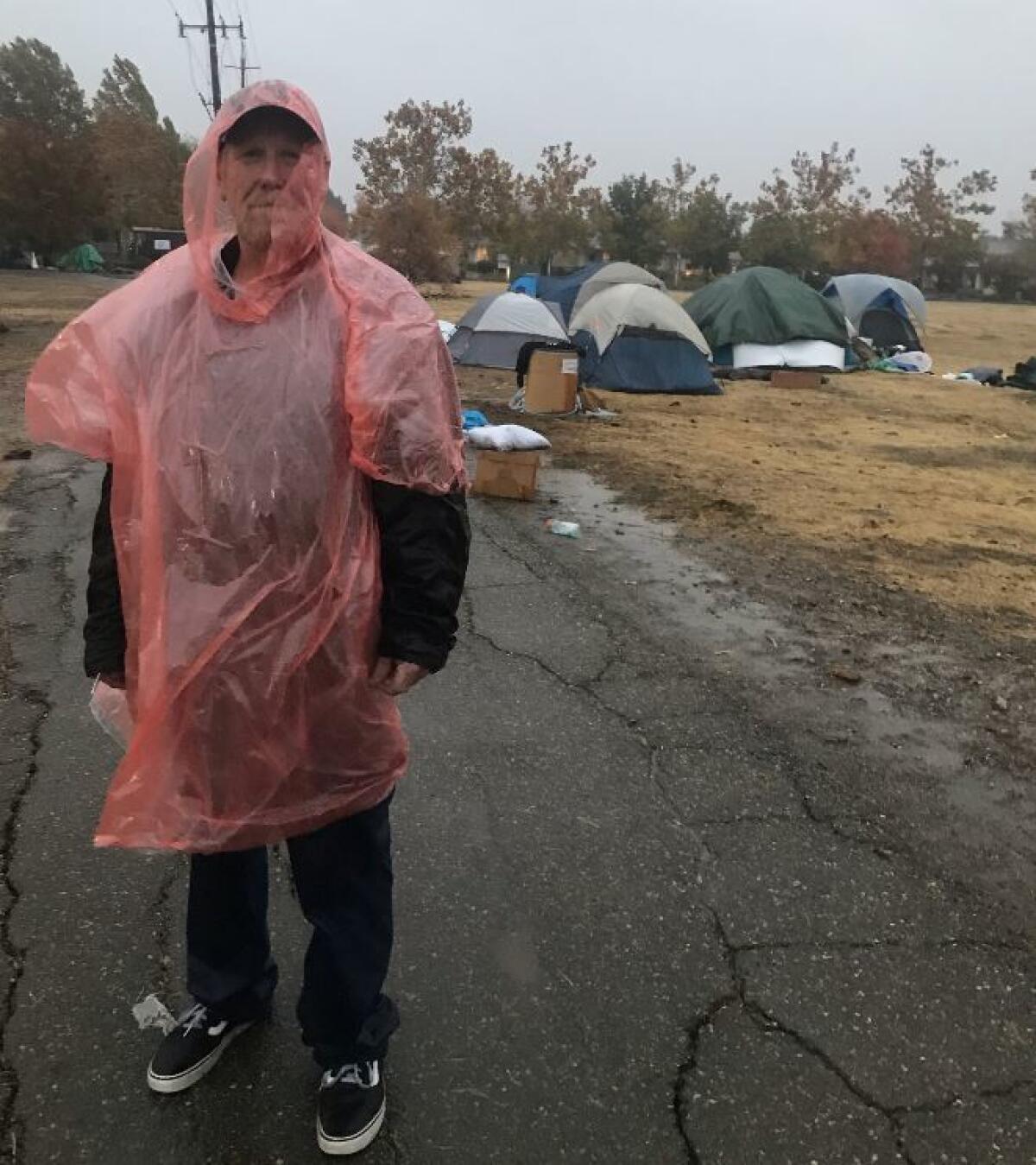
Rain began to pound on the tent city of Paradise evacuees Wednesday afternoon in Chico, causing more problems for people who have already been through so much.
Two women walked around holding a blanket, offering it to anyone who needed it. Standing alone, wearing a red hooded rain poncho, John Owens shivered.
“I don’t know how much longer people can hang on like this,” he said.
Owens lost his home and car in the fire. He said he was clinging on to what he had left: his wife, his dog and a part-time manufacturing job.
“I told my boss I can’t hang here for too long,” he said. “If it’s going to be like this, I won’t last long. I’ll have to quit my job and go to the shelter.”
Owens said he said he hasn’t left because transportation to his job is best from where he is now. He said he has to commute between Chico and Yuba City.
“This stinks,” he said.
Despite the cold, wet weather that is coming down on him and others, Owens said he’s grateful to be alive.
“You only got a short period of time on this place,” he said, referring to Earth. “You gotta have a good time.”
California fires: Volunteers out in force to make a horrible Thanksgiving a little better
In Chico, where thousands of evacuees have gathered, it’s going to be a Thanksgiving like no other. Some people who had been living in tents at a Walmart parking lot began to move on, some going to shelters.
Volunteers have also been out in force to help.
Sierra Nevada Brewing Co. in Chico has been prepping a Thanksgiving meal that will feed about 2,000 people.
The event is in conjunction with other groups who are putting together meals and it includes Cal State Chico and World Central Chicken.
The meal will consist of turkey, pork, green beans, mashed potatoes and gravy. The meals will be served in waves starting at 11 a.m., then at 1 p.m., 3 p.m. and 5 p.m.
Leslie Jessee, 33, tore sheets of foil and laid them in a stack as she prepped the turkey.
She said she hopes the Thanksgiving meal will bring some sense of peace for the people affected by the fire.
Nearby, Ken Grossman, the owner of the beer company, worked on making the gravy.
“On Thanksgiving I always make the turkey, the gravy and mashed potatoes for a big family,” he said. “This time, it’s a bigger family.”
Grossman said about 40 of his employees lost homes to the Camp fire. He also has friends who have lost so much.
“Hopefully family and friends will enjoy the meal,” he said.
California fires: ‘We’re just trying to get back to normal, whatever normal really is’
With the public still prohibited from entering the worst-hit areas of Paradise and Magalia, the towns were silent, save for the hum of generators.
The gas station was shuttered. Ponderosa Elementary School abandoned. The blackened husks of cars were still visible across the town. At the site of a gym on Pentz Road, all that remained were the contorted remains of elliptical machines atop a pile of ash.
Crews worked on repairing utility lines, forcing motorists to just one side of many roads, and continued the process of looking for any signs of human remains, despite the rain.
“They’re looking for basically bone fragments. And they’re just systematically going from burned house to burned house, looking to see if there’s anything,” said Capt. Matt Bergstrand of the California Department of Forestry and Fire Protection station in Magalia.
A day earlier, a hearse was spotted in Paradise, accompanied by the California Highway Patrol.
At the fire station in Magalia, things are still “pretty devastating,” Bergstrand said. “We’re just trying to get back to normal, whatever normal really is.… I don’t know what normal is really going to entail. A pretty big chunk of our area has been consumed.”
Stanley the giraffe is safe after the Woolsey fire, but Jillian Michaels isn’t satisfied

The saga of Stanley the giraffe continues as yet another celebrity has made the animal’s welfare her mission despite his keeper’s assurances.
Fitness celebrity Jillian Michaels is demanding that Malibu Wine Safaris move Stanley to a better home. In a letter to founder Dakota Semler, Michaels said that despite the Woolsey fire’s passing, the giraffe remains in danger as long as it is in on their property.
Celebrities and tourists have visited Saddlerock Ranch’s safari attraction for years to drink wine and snap selfies with the lone giraffe. But after the Woolsey fire, they used their clout to draw attention to the animal’s safety as the Woolsey fire roared toward the property.
They and hundreds of nearby residents, strangers and animal lovers believed Stanley had been abandoned when Malibu Wine Safaris staff evacuated.
A photo of the exotic animal on an open field with flames in the distance circulated on social media. Despite multiple statements made by the company, some people remained dubious.
Due to the short notice given to area residents, the animals were not evacuated; instead, they were placed in an open dirt field that did not have much fuel to burn.
“Stanley is doing fine,” said Bob Dunn after the fire passed through. Dunn, a close family friend who has helped care for the giraffe since its birth, said Stanley was “completely safe. He’s healthy.”
Although many have moved on, Michaels isn’t satisfied.
“Like millions of others, I saw and cannot shake off the picture of Stanley that showed flames approaching behind him, and I urge you not to keep him in the same path of danger,” Michaels wrote. “But fire or no fire, he needs to be moved to a place where he can thrive and he’s not just waiting for the monotony of his life to be broken when someone offers him a treat.”
Michaels is backed by the animal rights group PETA, which has been working to identify alternate homes for the animals, should the Semlers comply with Michaels’ request.
“Giraffes’ special needs simply cannot be met at a roadside zoo like this,” Michaels said in the letter, “and if he hasn’t already, he will soon begin to exhibit neurotic behavior resulting from captivity-related stress, frustration, and privation.”
Rebecca Smudzinski, a wildlife specialist with PETA, said young male giraffes like Stanley often travel in “bachelor herds” and roam large savannas. One in captivity is likely to display signs of stress, such as repetitive licking and pacing.
“The Woolsey fire exposed Stanley’s sad, lonely life in that barren enclosure,” she said. “He’s got nowhere to go and nothing to do, and so he just waits for people to feed him.”
Organizations housing exotic animals are required to have a permit from the U.S. Department of Agriculture, which follows minimal standards set by the Animal Welfare Act. The permit includes an annual inspection visit to ensure the animal is taken care of properly. But that isn’t enough, Smudzinski maintained.
PETA wants the animal to be moved somewhere accredited by the Global Federation of Animal Sanctuaries or the Association of Zoos and Aquariums, which both require disaster plans to be reviewed and practiced regularly, she said.
Michaels referenced Safari West in a Twitter post as an example of an organization that successfully saved exotic animals.
Nancy Lang, co-owner of Safari West, said the organization was accredited by the Association of Zoos and Aquariums and the California Department of Fish and Wildlife. The staff there meet annually with law enforcement, the Humane Society and others to discuss disaster plans and practice regular drills, and partner with organizations that offer their facilities in case of emergencies.
When the Tubbs fire approached their property in 2017, they had little time to react, making an evacuation impossible. Lang said whether Malibu Wine Safaris did the right thing is impossible to say without knowing their circumstance.
Some of Safari West’s animals were also placed in an open field with little fuel to burn.
It’s unclear what disaster plan Malibu Wine Safaris had in place, but its staff only had a couple of hours to act. Malibu Wine Safaris did not respond to multiple requests for comment.
Homes burned in the Camp fire could contain dangerous materials including radiation and residents should stay away, health officials say
Butte County health officials are urging residents not to try to move back into homes damaged by the Camp fire in Paradise.
Some residents have been allowed back into Paradise to survey their homes and collect any valuables still left.
“There is evidence from recent fires in California that homes and property destroyed by fire contain high and concerning levels of heavy metals, lead, mercury, dioxin, arsenic, and other carcinogens. Some property may have the presence of radioactive materials,” the county said in a statement. “Exposure to hazardous substances may lead to acute and chronic health effects, and may cause long-term public health and environmental impacts.”
Assessing the risk of mudslides in Malibu after California fires
If the expected rainfall on the eve of Thanksgiving day is intense enough, areas where the Woolsey fire burned would be more susceptible to mud flows than areas affected by the Camp fire, according to the U.S. Geological Survey.
USGS researchers created a map that shows the probability that different fire-affected areas will experience mud flows if there’s a storm that produces 24 millimeters of rain per hour, or a quarter of an inch in 15 minutes.
“We have historical information about where debris flows occurred, how big they were and the rainfall associated with triggering those events,” said Dennis Staley, a research geologist with the USGS. The model also considers slope steepness, topography and fire severity.
The dark red portions of the map indicate between an 80 and 100% chance of debris flows if rain reaches the assigned threshold for the map. Most areas affected by the Camp fire are colored yellow, indicating a 20% chance or less of debris flow. The Woolsey fire area on the other hand is mostly colored orange and red.
The reason for the higher probability, Staley said, is that areas affected by the Woolsey fire are steeper than where the Camp fire burned.
However, weather experts say rainfall in Southern California likely won’t be intense enough for dangerous mud flows. Rich Thomas, with the National Weather Service, said there will only be about quarter to three quarters of an inch of rainfall total.
There’s only a 10 to 20% chance the rain will become heavy enough to create mudflows, he said.
”There could be some minor debris flows, but nothing significant,” he said. “Rocks over the roadway, stuff like that.”
Still, Thompson said people should be prepared and pay attention to local authorities for evacuation orders.
To the west, the area affected by the Mendocino Complex fire appears to be at higher risk, Staley said. In August, the Mendocino Complex fire consumed more than 450,000 acres, becoming the largest wildfire in state history.
The area’s steep terrain made it a challenge to firefighters and also increases the likelihood of mud flows.
Heavy rain is expected this Thanksgiving holiday and debris flows will be a particular threat in the areas affected by the Camp, Carr, Delta, Hirz and Mendocino Complex fires, the NWS said.
After fires, risk of Malibu mudslides will be high through the winter
The first rain to fall over the burn-scarred areas of the Woolsey fire is expected to start Wednesday night. Forecasters are predicting it will be a weak storm, not intense enough to trigger significant flows of mud and debris — although it could cause some minor rockslides and mudslides.
But experts say stronger storms in the coming months have the potential to send life-threatening mudflows plowing through neighborhoods. That threat has authorities urging residents living on or below hillsides, in canyons and along stream channels to take steps to prepare their homes, keep an eye on the weather, quickly heed warnings and evacuation orders, and be ready to leave well before the rain arrives.
“If you can see burned hillsides from your house, you are threatened by debris flow,” said National Weather Service meteorologist Eric Boldt, who works with emergency planners and other local officials to coordinate warnings. “You don’t want to be there when the rain starts. There’s just not enough time to wait and see what happens.”
Read more here.
Dramatic NASA images show destruction of California fires from space
NASA has released dramatic satellite images of the destructive wildfires in California.
The data show the progression of the fires and how they burned homes, as well as satellite images of what they look like from space.
See more here.
How fires can lead to deadly mudslides
Rain is forecast this week in the burn zones of Paradise in Northern California and the Malibu/Ventura County area in Southern California.
This has prompted concern about mudflows.
Soil in a burned area can be repellent to water, creating a flood-like flow on the ground that picks up rock and debris.
In an area that has not burned, soil can become saturated. Pressure builds up underground, and soil starts moving and begins picking up mud and debris as it starts flowing downhill.
Here’s how hillsides that have been burned by wildfire become prone to flash floods and dangerous mudslides during heavy rains.
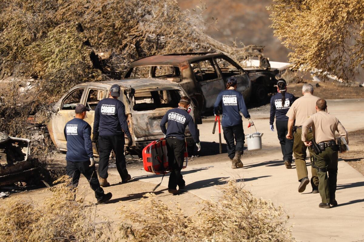
Remains found above Malibu are not those of a Woolsey fire victim, but from earlier death, officials say
A broken skull and a few other bone fragments found in the scorched hills of Latigo Canyon on Saturday came from a human who died well before the Woolsey fire, Los Angeles County sheriff’s investigators said Wednesday.
A landowner spotted what appeared to be human bones Thursday as he was checking fire damage to his property off Latigo Canyon Road, about a mile north of Ocean View Road, near mile marker 6.92, Sgt. Marcelo Quintero said.
The property didn’t notify authorities about the bones until Saturday.
Quintero said the skull was likely hidden by heavy brush in the area before the Woolsey fire, which scorched much of the land and several structures in the canyon above Malibu.
Investigators believe the wildfire may have dislodged the remains from where they were stuck higher up the hilly terrain, and sent them tumbling down into the pathway where they were found, on property owned by the Ava and Cole Weintraub Family Park conservancy group.
“The skull was broken into pieces but we were able to piece it somewhat together,” Quintero said. “The anthropologists at the coroner’s office believe it definitely predated the fire.”
Coroner’s investigators believe the remains could been there between six months and 50 years, he said. They have some fire damage, he said, but no bite marks.
“We only have parts of a skull, parts of a jaw and possibly some cervical vertebra pieces,” Quintero said.
The Los Angeles County coroner’s Special Operations Response Team, or SORT, combed the area, hoping to find more remains. They did find additional bones, Quintero said, but they turned out to belong to animals.
“We’re going to do our best to try to identify whoever this person was,” he said. “But it’s going to be a long shot, at best.”
Anyone with information should contact the sheriff’s Homicide Bureau at (323) 890-5500. Those wishing to remain anonymous should call Crime Stoppers at (800) 222-8477.
Woolsey fire expected to be fully contained today
Firefighters are hoping to have full containment of the Woolsey fire sometime today.
The fire, which killed three people, destroyed more than 1,600 structures and burned over 96,000 acres from Oak Park to Malibu, was 98% contained as of Tuesday night.
People continued to return to their homes, but officials warned of possible rain in the burn areas later this week.
Storms could wash away remains of Camp fire victims, officials fear
A pair of incoming storms are threatening to hamper recovery efforts in Paradise, Calif.
In a worst-case scenario, the downpour could flood the ruins and wash away human remains, leaving authorities unable to find and identify every victim of California’s deadliest wildfire on record.
Authorities fear bones could sink underwater, making them harder to spot and drowning any scent that cadaver dogs rely on to find them.
Meteorologists say the Camp fire burn scar — which is larger than the city of San Jose — could see up to 6 inches of rain through Saturday, with the heaviest downpour expected overnight Thursday. The forecast has triggered a flash flood watch for possible rock slides and debris flows.
Light showers were falling Wednesday morning with heavier rain expected later in the day.
“That rain is going to get in that ash, it’s going to turn into it a paste-like substance,” said Monterey County sheriff’s Cmdr. Joe Moses, who is helping in the recovery effort. “It’s going to stick to everything and slow things down.”
Read more here.
Paradise narrowed its main road by two lanes despite warnings of gridlock during a major wildfire
Paradise narrowed its main road through town as well as two other streets in recent years, hoping to slow traffic and improve pedestrian safety.
The changes came despite warnings that a major fire would cause crippling gridlock during evacuations, a scenario that became grim reality when California’s worst wildfire swept into Paradise this month.
Read the full story here.
Paradise narrowed its main road by two lanes despite warnings of gridlock during a major wildfire
After a fast-moving fire swept into town a decade ago, burning more than 200 homes and trapping thousands of fleeing residents on gridlocked mountain roads, a grand jury called on officials to improve evacuation routes.
But six years later, the city decided to narrow a portion of the main road through town from four lanes to two as part of an effort in the downtown area aimed at boosting commerce as well as traffic and pedestrian safety.
Number of people missing in Camp fire jumps to 870
The number of people unaccounted for in the destructive Camp fire rose to 870 on Tuesday after investigators were able to work through a backlog of voicemails, authorities said.
The surge comes as the death toll increased to 81, with two bodies recovered inside structures in the Butte County town of Paradise. Of the 81, authorities said they had tentatively identified 56 people.
By Tuesday evening, investigators had also been able to locate nearly 200 people reported missing, raising the number of people checked off the missing-persons list to 1,864.
The blaze has chewed through more than 152,000 acres and destroyed more than 12,600 homes. It was 75% contained.
Death toll from Camp fire rises to 81 as searchers continue their grim work
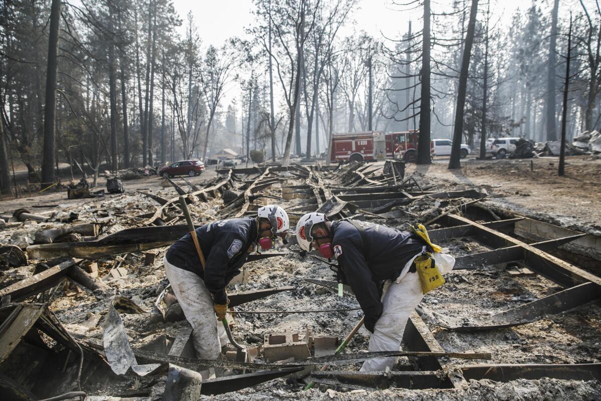
The death toll from California’s worst fire rose to 81 on Tuesday as the search continued for the missing.
The fire has burned more than 12,000 structures, destroying most of the town of Paradise and other nearby communities.
As of Monday night, there were nearly 700 people still missing.
Rain is expected to hit the area tonight, complicating the search efforts.
Joe Moses, a commander with the Monterey County Sheriff’s Office who is assisting with search-and-rescue operations, said the rain is a concern for him and recovery crews.
“That rain is going to get in that ash [and] it’s going to turn it into a paste-like substance,” Moses said. “It’s going to stick to everything and slow things down.”
In a worst-case scenario, if torrential downpours were to hit Paradise, the foundations could flood and wash human remains away, increasing the possibility that workers may be unable to locate and identify victims. This concern appears to be greatest in rural areas such as Concow.
Authorities fear that bones may also lie underwater, making it harder for workers to spot them, and that the rain may wash away the scents that cadaver dogs seek out to find human remains.
California fires: Anxiety and nightmares grip evacuees in Paradise fire zone
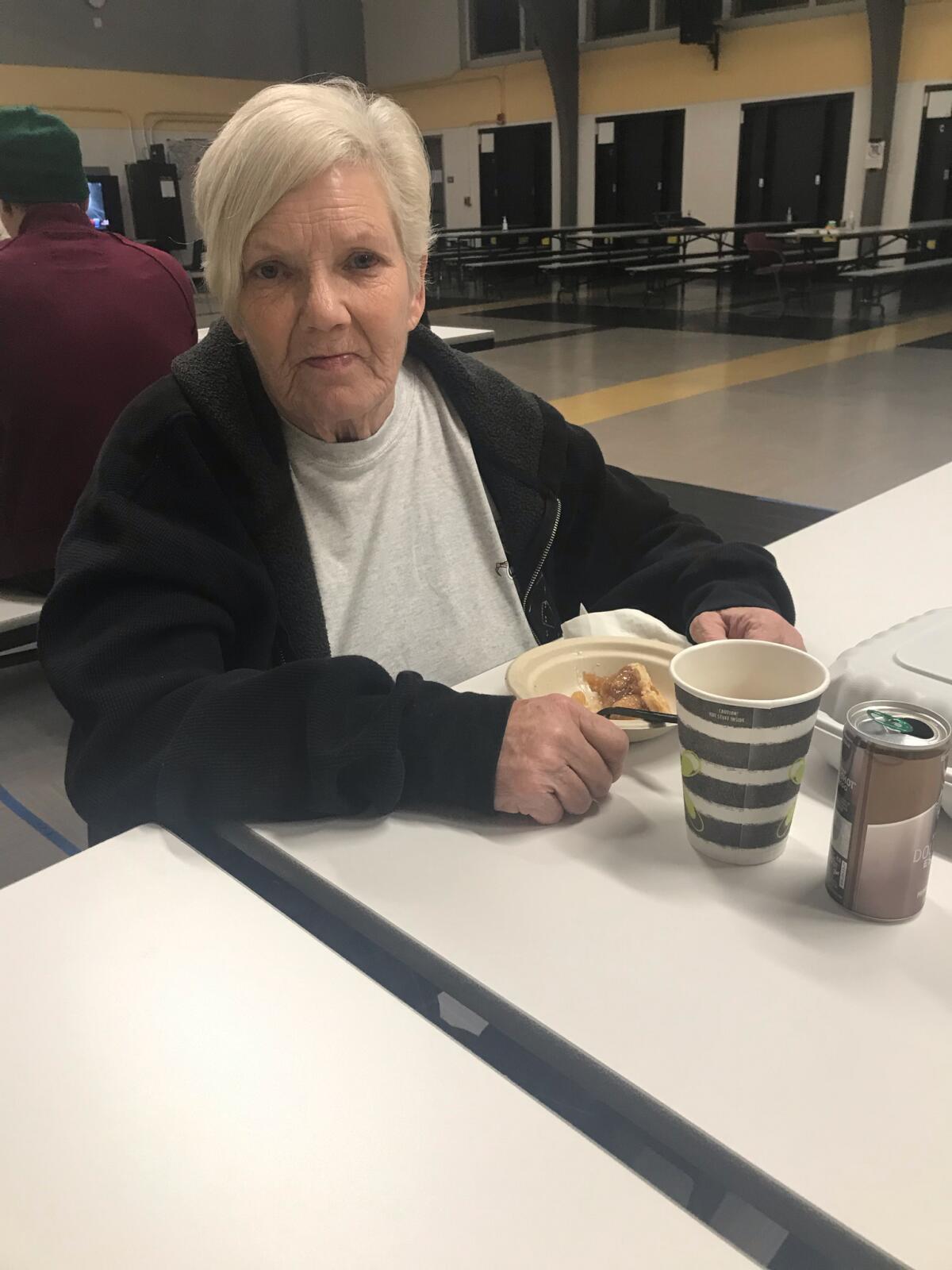
Inside the cafeteria of Bidwell Junior High School, 63-year-old Deborah Laughlin sipped on coffee and scooped up some apple pie.
A lot was on her mind.
Laughlin said she lost her home in Paradise. She had been living at Evergreen Mobile Home Park. Since the evacuations, she has been at the middle school, where the Red Cross operates a shelter. She said she registered with FEMA and hopes she’ll be able to get housing.
“I don’t know what I’m going to do,” she said. “I told the manager of the Red Cross: ‘When you leave, I’m going with you.’”
Perhaps her greatest worry is her son, Shawn Evans, 40, whom she last heard from while he was evacuating from Magalia. She said he was driving on Imperial Way with his wife, who is eight months pregnant.
“I know where my husband is but I don’t know here my son is,” she said with teary eyes. “Please don’t tell me he died. Please.”
She said she is clinging to hope that her son is OK and that they’ll be reunited soon. She said she’s afraid about the storm that is approaching the region. She’s afraid because she knows there’s still people who are missing, people who may have died in the fire.
“I’m scared,” she said. “I’m scared they’ll be washed away and people’s remains will never be found.”
Sitting across was Anthony Salzarulo, 60, who had fought to save his home and five others in Concow. He said the fire was worse than any other blaze that had hit the region.
Salzarulo lost his home to a fire 10 years ago. Sipping water, he said his home suffered some damage in the Camp fire, mostly to his solar panels and generator. He lost a bus and a car.
When he was leaving the area, he saw animals that had died in the fire. A bobcat that had suffered burns walked near him. He’s had nightmares since.
He heard about the storm approaching. He worries a mudslide may take out his home, and it’s made him anxious. He wants to go home.
“I hope I have a home after this storm because it sounds like it’s a pretty bad one,” he said.
He said the storm had added to his nightmares.
“I was dreaming that there was a tornado and all these things were sticking to me,” he said. “They were human bones.”
California fires: Heavy rains could wash away human remains in Paradise, searchers fear
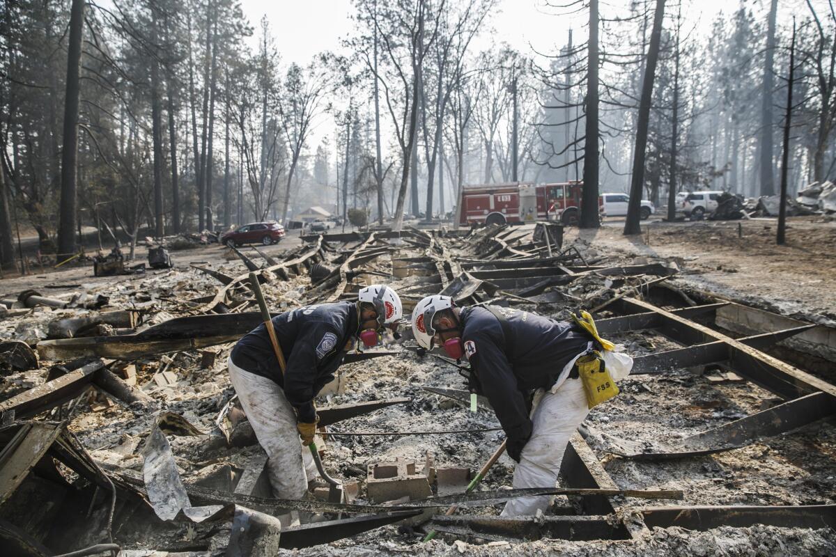
Four members of the Oakland Fire Department’s Urban Search and Rescue Task Force removed a charred mattress spring and began combing through a mixture of ash, dirt, shredded wood and pieces of roofing tiles.
Using their gloves to move around the blackened dirt, they looked for human remains.
“This is hard,” one of the recovery workers said. “But we’re trying. Let everyone know we’re trying.”
By Wednesday afternoon, the recovery work will get harder. Forecasters said that’s when the rain will most likely start to come down over the Camp fire.
Joe Moses, a commander with the Monterey County Sheriff’s Office who is assisting with search-and-rescue operations, said the rain is a concern for him and recovery crews.
“That rain is going to get in that ash [and] it’s going to turn it into a paste-like substance,” Moses said. “It’s going to stick to everything and slow things down.”
In a worst-case scenario, if torrential downpours were to hit Paradise, a town devastated by the fire, the foundations could flood and wash human remains away, increasing the possibility that workers may be unable to locate and identify victims of the fire. This concern appears to be more evident in rural areas such as Concow.
Authorities fear bones could also lie underwater, making it harder to spot them and whatever scent cadaver dogs rely on to spot human remains could be drown out.
But Moses doesn’t believe the rain won’t be too bad and they plan to see their mission through.
The fire destroyed much of Paradise, burning more than 10,000 homes. Nearly 80 are confirmed dead, but nearly 700 remain missing in the worst fire in California history.
Woolsey fire victims file lawsuit against Southern California Edison
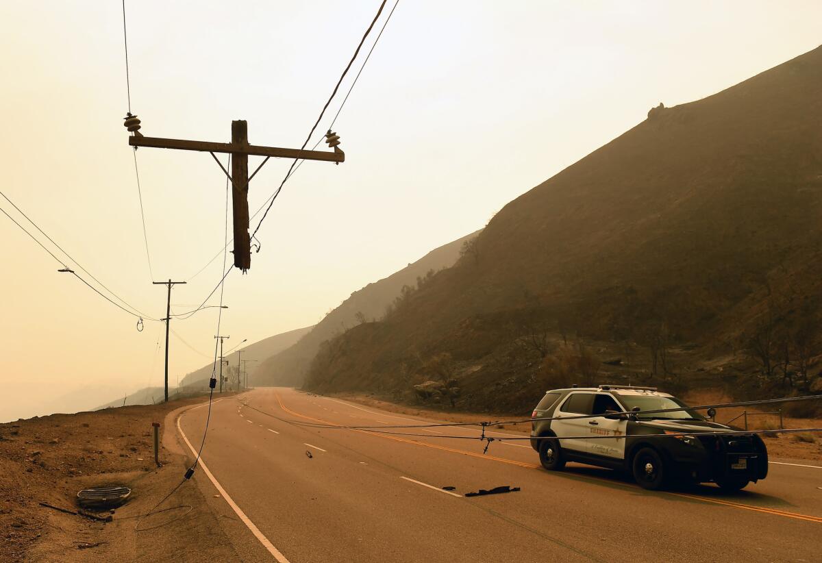
Victims of the Woolsey fire have filed a lawsuit against Southern California Edison alleging the utility was negligent in failing to shut off power before the wildfire started, attorneys announced Tuesday.
The lawsuit, filed Friday in Los Angeles Superior Court on behalf of 17 plaintiffs, alleges the company ignored warnings of extreme fire weather and only shut power off once the fire started. That delay contributed to the Woolsey fire’s destruction, plaintiffs say.
The fire, which is currently 96% contained, killed three people and destroyed 1,500 structures, according to the California Department of Forestry and Fire Protection. The cause of the fire remains under investigation.
Attorneys are seeking compensation for plaintiffs’ damaged property, lost wages and attorney fees.
The lawsuit claims that once the electricity was shut off on Nov. 12 — four days after the fire started — residents and firefighters lost water pressure, hampering efforts to battle the flames. That in turn heightened the safety risk for firefighters and homeowners who sheltered in place.
R. Rex Parris, one of the attorneys on the case, references the utility’s preliminary report filed Nov. 12 with the California Public Utility Commission stating an electric substation experienced a disturbance two minutes before the fire, which started in the same area.
“The report is preliminary,” said Edison spokesman Steve Conroy when the report was made public. “We have no other information other than a line went out of service and we don’t know why.”
In the report, the utility said a circuit in its Chatsworth substation near where the Woolsey fire started “relayed” two minutes before the fire broke out.
“This means an outage remains until it is safe to manually reenergize the circuit,” Conroy said. “This is not a Public Safety Power Shutoff; it is simply a safety feature to help mitigate wildfire risk.”
The lawsuit also blames Edison for potential damage to the environmental and public health caused by the burning of the Santa Susana Field Laboratory nuclear cleanup area, though some experts have said there was no damage.
The state Department of Toxic Substances Control, which oversees the long-delayed cleanup of the former rocket engine testing and nuclear research facility, said fire officials believed the blaze “did not present any risks other than those normally present in a wildfire situation.”
Edison said in an emailed statement that it cannot comment on lawsuits related to the Woolsey fire at this time and that it may take some time before an investigation into what caused the fire is completed.
“SCE’s focus at this time is service restoration to customers still impacted in the Malibu area, and providing additional assistance to customers through the L.A. County local assistance centers,” an Edison spokesman said.
The utility said it’s offering support for customers looking to turn service on and off, waiving charges associated with extended bill payments and charges associated with relocating and starting new service.
Parris said utility companies know of the dangers of high power lines running through fire zones, but that they do little to implement safeguards to prevent potential tragedies.
“When you have rules that are this important and you know people are violating them it’s inevitable that these catastrophic events happen,” Parris said of Edison and other utility companies. “Their view of safety is public relations.”
Victims of the Camp fire filed a lawsuit against Pacific Gas and Electric Co. also on Friday, alleging that utility is responsible for the fire that killed at least 79 people.
------
2:05 p.m.: This article was updated with statements from R. Rex Parris.
This article was originally published at 11:05 a.m.
Here are the latest evacuations, road and school closures, animal shelters and victim services
Mandatory evacuations
- Malibu, from the Ventura County line east to Anacapa View Drive.
- Monte Nido West of Malibu Canyon Road.
- Liberty Canyon West to Decker Canyon and south to PCH
For all evacuation areas click here.
Road closures
- Highway 101 offramps from Valley Circle Blvd to Liberty Canyon Road
- Highway 1 southbound (Pacific Coast Highway) closed at Las Posas Road
- Bell Canyon Road at Valley Circle Boulevard
- Borchard at Los Vientos Drive
- Lynn Road at Reino Road
- Potrero Road between Rancho Dos Vientos and South Lewis Road
- Kanan Road between Westlake Boulevard and Lindero Canyon Road
- Falling Star Avenue at Kanan Road
- Potrero Road at Wendy Drive
- State Route 118 eastbound between Topanga Canyon and Yosemite Avenue
- Mureau Road, Calabasas Boundary to 101 Freeway
- Cornell Road, Mulholland Hwy to Kanan Road
- Encinal Canyon Road, Malibu Boundary to Mulholland Hwy
Click here to see a full list of closures.
Evacuation centers
- Camarillo Community Center – 1605 E. Burnley Street, Camarillo (accepting small animals)
- Borchard Community Center – 190 Reino Road, Newbury Park (accepting small animals)
- Goebel Senior Adult Center (obscured on map)– 1385 E. Janss Road, Thousand Oaks (at capacity)
- Thousand Oaks Teen Center – 1375 E. Janss Road, Thousand Oaks
- Thousand Oaks Community Center – 2525 North Moorpark Road, Thousand Oaks (closed)
- Rancho Santa Susana Recreation Center – 5005 Unit C Los Angeles Ave., Simi Valley (no animals accepted)
- Taft Charter High School – 5461 Winnetka Ave., Woodland Hills
- Pierce College – 7100 El Rancho Drive, Woodland Hills (Entrance off Desoto Avenue); Los Angeles County Animal Services (accepting large animals)
- Canoga Park High School – 6850 Topanga Canyon Blvd, Canoga Park
- Palisades Charter High School (not displayed on map) – 15777 Bowdoin St, Pacific Palisades
School closures
- Cal State Channel Islands
- Cal Lutheran University (except for emergency personnel)
- Moorpark Community College
- Pepperdine University (Malibu and Calabasas campuses)
- For Ventura County school closures, please check the Ventura County Office of Education website https://www.vcoe.org/
Animal shelters
- Ventura County Fair Grounds – 10 W. Harbor Blvd., Ventura, (at capacity); Ventura County Animal Services (805) 388-4258
- Ventura County Animal Shelter – 600 Aviation Drive, Camarillo (accepting small animals)
- Simi Valley Animal Shelter – 670 W Los Angeles Ave., Simi Valley, (805) 388-4341 (accepting small animals)
- Pierce College – 7100 El Rancho Drive, Woodland Hills (entrance off Desoto Avenue) (at capacity); Los Angeles County Animal Services
- Hansen Dam Equestrian Center – 11127 Orcas Ave., Lake View Terrace (at capacity); Los Angeles County Animal Services
- Earl Warren Show Grounds (not on map) – 3400 Calle Real, Santa Barbara (Check-in at Gate C off of Calle Real) (accepting large animals)
- Shelter Hope — 193 N Moorpark Rd, Thousand Oaks, CA 91360 (lodging for evacuees and volunteers available)
If you need large animal assistance, please call (805) 388-4258
N95 Particulate filter mask availability
- Goebel Senior Adult Center (obscured on map)– 1385 E. Janss Road, Thousand Oaks
- Thousand Oaks Teen Center – 1375 E. Janss Road, Thousand Oaks
- Rancho Santa Susana Recreation Center – 5005 Unit C Los Angeles Ave., Simi Valley
- Borchard Community Center – 190 N Reino Road, Newbury Park
- Camarillo Community Center – 1605 E Burnley St., Camarillo
- North Oxnard Public Health – 2240 E. Gonzales Road, Oxnard
- South Oxnard Public health – 2500 S. “C” Street, Oxnard
- Channel Islands harbor master – 3900 Pelican Way, Oxnard
- Las Posas Family Medical Group – 3801 Las Posas, Suite 214, Camarillo
- Sierra Vista Family Medical Clinic – 2700 E Los Angeles Ave., Simi Valley
- Moorpark Family Medical Clinic – 612 Spring Road, Building A, Moorpark
Some Camp fire evacuations are lifted as firefighters continue working to contain the blaze
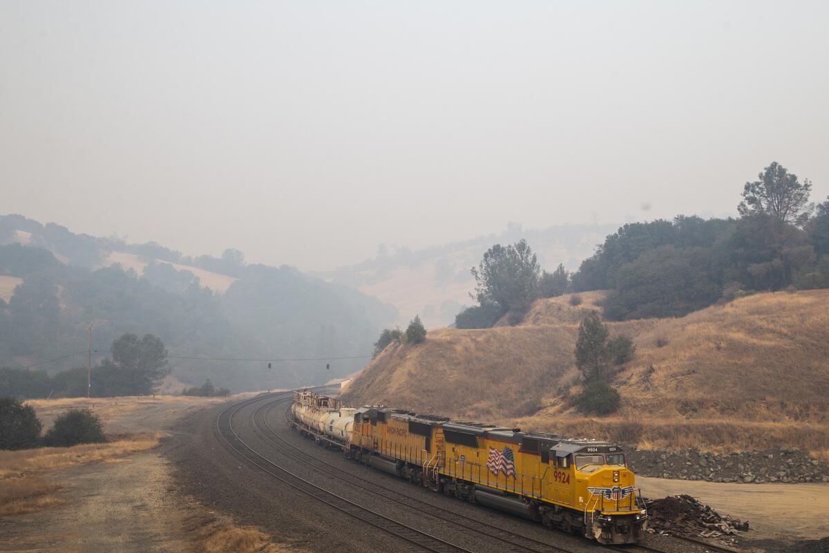
Officials lifted evacuation orders for several communities near Lake Oroville on Tuesday.
The news comes as firefighters make progress in the battling the Camp fire, which as of Tuesday morning was 70% contained. The fire has consumed more than 151,000 acres and killed at least 79 people, according to the California Department of Forestry and Fire Protection.
Officials announced that residents of all Berry Creek zones can return home, except the areas northbound Encina Grande Road at Choc Taw Ridge Road, northbound French Creek Road at Stephens Ridge Road and northbound Highway 162 at Four Mile Ridge Road.
Communities in the Cherokee Zone B zone can also return to the area, with the exception of areas northbound Red Tape Road at Condor Road, Rocky Top Road at Cherokee Road, Vinton Gulch at Cherokee Road, Crystal Pines Road at Cherokee Road and Highway 70 East of the West branch bridge.
All residents of the Messilla Valley Zone B can return home.
As California fire slowly is contained, air quality begins to improve in the north
The rain forecast for Northern California is expected to improve air quality in the region, which has experienced unhealthful air due to the Camp fire.
Air quality improved somewhat Tuesday, but the smoke was supposed to dissipate more on Wednesday.
The Camp fire burn zone could see up to 6 inches of rain through Saturday, which isn’t unusual for that region, said Johnnie Powell, a meteorologist with the National Weather Service in Sacramento. In April, fire-ravaged Paradise, Calif., saw nearly 6 inches of rain in one day in what was its last significant storm.
In Paradise, the grim search for bodies after California fire: ‘We’re finding remains in various states’
The search-and-rescue team took a break as it waited for an excavator to moved debris from a pair of charcoal gray vehicles sitting next to a burned home in Butte Creek Canyon in Chico.
Nearby, a line of fire trucks and sheriff’s vehicles drove past the group, their occupants waving. The sun was starting to dip. Monday was coming to an end.
Since the Camp fire broke out on Nov. 8, authorities have been combing through crumbled homes and melted metal in an effort to locate and identify human remains.
The fire has killed at least 79 people, and about 700 others are unaccounted for, a significant drop from a few days ago when the list was more than 26 pages and had more than 1,200 names, but still a daunting number.
Now two storms are moving toward Northern California and are expected bring up to six inches of rain through Saturday, possibly hindering search operations.
“The pros and cons are that the weather will be in our favor to contain the fire,” said Cal Fire spokesman Manuel Garcia. “But the cons are that there will possibly be loose terrain, fallen trees, mudslides and downstream flows.”
The National Weather Service said the first of the storms will move into the region on Wednesday. The second storm will bring the heaviest rain on Thursday night through Friday morning.
Forecasters said the soil in the burn area cannot absorb rainwater, which could lead to fast-moving flows of mud, debris and even trees and boulders up to several feet deep that can be deadly.
Blocked roads caused by the storms as well as rivers of ash and debris could hinder search crews from conducting a massive search operation in a burn zone that is bigger in area than the city of San Jose.
Tom Madigan of the Alameda County Sheriff’s Department said that in some cases remains were so badly burned that they could not be recognized or just a few bones could be located.
“We’re finding remains in various states,” Butte County Sheriff Kory Honea said. “I suspect there are some that will have been completely consumed.”
“There is certainly the unfortunate possibility that even after we’ve searched an area, once people get back in there, it’s possible that human remains could be found. I know that’s a very difficult thing to think about, but that’s the difficult situation we find ourselves in today. “
Recovery workers in white jumpsuits and boots, firefighters, coroner employees and police chaplains from across the state have been working around the clock searching neighborhoods destroyed by the fire, but as the storms approach, the possibility of perhaps not finding everyone is starting to set in.
Firefighters boost containment of deadly Camp fire to 70% as residents prepare for rain
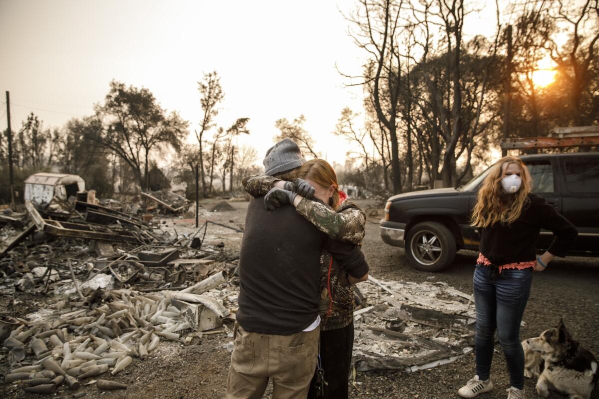
The deadly Camp fire grew slightly overnight — to 151,373 acres — as firefighters continued their efforts to get the blaze under control.
The fire, which has claimed at least 79 lives and destroyed more than 17,000 homes and commercial structures, is 70% contained, the California Department of Forestry and Fire Protection said Tuesday.
At the same time firefighters work to control the blaze, residents in the burn area now face the potential for mudslides as a series of storms begin to make their way into the region.
The National Weather Service issued a flash flood watch through Friday morning where the fire raged through Butte County. While the rainfall will help with the firefight, neighborhoods that were destroyed, and those downstream of them, could see mudslides and debris flows, authorities said.
The burn zone could see up to 6 inches of rain through Saturday, which isn’t unusual for that region, said Johnnie Powell, a meteorologist with the National Weather Service in Sacramento. In April, Paradise saw nearly 6 inches of rain in one day in what was its last significant storm.
“Best-case scenario, it’ll rain on it and nothing will move. Worst-case scenario, the mud will start moving,” Powell said. “We just have to wait and see what happens. All we know for sure is, it’s going to rain really hard.”
California fire burned more than 10,000 homes, but trees remained standing. Why?
One of the many striking, horrifying in images from Paradise is that trees still stand next to homes incinerated by fire.
Here is why.
Fires that spread from house to house generate a force of their own. Embers, broadcast by the wind, find dry leaves, igniting one structure then another, and the cycle is perpetuated block after block. Break that cycle and the fire quits, and destruction can be minimized.
Paradise never had that chance. Defensible space and hardened structures could not have kept the firestorm, carried on gusts clocking in the low 50s and feeding on the homes and low-lying vegetation, from reducing the town to ash.
Most telling were the trees. Most of the pines that sheltered this community still had their canopies intact. The needles, yellowed from the intense heat, were not burned — evidence that the winds that morning had pushed the fire along so fast it never had a chance to rise into the trees. But as a surface fire, it lit up the homes that lay in its path.
Read more here.
California fires interrupt TV production
Netflix’s teen drama series “13 Reasons Why” was in the midst of shooting its third season in Vallejo when the massive Camp fire and other blazes broke out in Northern California. The sets, which include a sound stage on Mare Island, weren’t touched by the conflagrations, but the pervasive smoke that has shrouded much of the Bay Area has forced the show to temporarily halt shooting.
The Paramount-produced series is one of a number of TV and commercial shoots that have experienced disruptions because of the fires that have devastated California in recent weeks. Some prime shooting locations — including Paramount Ranch, which serves as a set for HBO’s “Westworld,” and the Peter Strauss Ranch in Agoura Hills — have experienced extensive damage, rendering them inaccessible to crews. Large swaths of Malibu that are popular filming sites are also closed to production.
Read more here.
California fires: New disaster danger in Paradise is mud and ash flows
The National Weather Service issued a flash flood watch through Friday morning where the Camp fire raged through Butte County, Calif. While the rainfall will help with the firefight — the blaze is 70% contained and has burned 151,272 acres — neighborhoods that were destroyed, and those downstream of them, could see mudslides and debris flows.
The Camp fire burn zone could see up to 6 inches of rain through Saturday, which isn’t unusual for that region, said Johnnie Powell, a meteorologist with the National Weather Service in Sacramento. In April, Paradise saw nearly 6 inches of rain in one day in what was its last significant storm.
“Best-case scenario, it’ll rain on it and nothing will move. Worst-case scenario, the mud will start moving,” Powell said. “We just have to wait and see what happens. All we know for sure is, it’s going to rain really hard.”
The soil in recently burned areas cannot absorb rainwater. Enough rain can lead to fast-moving flows of mud, debris and even trees and boulders that can be deadly for those in their path. The devastation often comes without warning.
Video shows pilots in dramatic Woolsey fire rescue of three people and two dogs
The two pilots were dropping water on a flank of the destructive Woolsey fire the day after it broke out when they got a request to rescue people stuck nearby on Castro Peak in the hills above Malibu.
Their fuel supply was dwindling and thick smoke filled the air around them. Eventually they found a flat spot to ground the helicopter, and one of the pilots hopped out. Moments later, he emerged with three people and two dogs.
The dramatic mountain rescue, involving Los Angeles Fire Department pilots David Nordquist and Joel Smith, was captured in an 11-minute video the agency released Monday.
Once the people and pets were in the plane, the pilots took off.
“Ah, that was close,” one says after taking off
“Yeah, it was,” the other replied.
“That’s enough excitement for me today.”
The other laughed.
“You and me both, brother.”
California fires: Paradise anxiously awaits rain and the dangers it might bring
Calvin Daley, 66, sat listening to jazz on his battery-powered radio on the front porch of his two-story home in the charred hills of Chico. Tiny birds hopped from the burned branches of a pine tree to a bird feeder.
Nearby, Pacific Gas and Electric crews repaired voltage lines, and other workers used an excavator to move aside hunks of melted metal that once were cars.
Daley didn’t evacuate. Instead, he hooked up three hoses, stationed them around his home and began dousing everything. Some people who stayed to fight for their homes died. He had at least three hours to work before the fire arrived with fury.
He had no goggles, no mask, just jeans, a T-shirt and hoses. Sometimes, the water evaporated before hitting its target.
His next-door neighbor’s home went up: “My heart sank; I couldn’t go over there and save it.”
Flames also claimed his wife’s ski boat and his 1987 Dodge Ram. Also incinerated was the nearby Honey Run covered bridge. By 10:30 p.m. the fire had moved on. Exhausted, Daley woke himself every hour or so to check on hotspots.
It was eerily quiet for three days, then the birds returned.
Next door, the neighbor’s cats had survived. He began feeding them.
As heavy rain approaches, he’s worried contaminants will run into his well. He also worries for people who have lost homes, for people living in tents. He wishes it were summer.
Legally blind and under evacuation: ‘The unknown is the worst part’
At the Butte County Fairgrounds in Gridley, the five Thompsons live at the end of a row of green cots.
Hot meals are served, snacks and water are readily available, as are toiletries and American Red Cross volunteers.
“We’re having to turn stuff away,” said Melissa Thompson, 38. “Someone handed me a $100 bill, and she lost her own home. It’s victims helping victims, and it’s amazing.”
But she’d like to find out if her apartment in Magalia survived.
“The unknown is the worst part,” said Thompson, who is legally blind and on disability.
As in other places, the fire caught them unawares and they ran for their lives, hopping onto two firetrucks. Daughter Savanna, 12, raced home from school to search for her family but could not get through. She ended up in Chico before being reunited with them.
Now she waits on her cot under fluorescent lights texting friends, watching YouTube videos, reading and listening to bands like Falling in Reverse. Her favorite donated shoes are a pair of black Vans high tops and some white Adidas sneakers.
“They’re expensive and I got them for free,” she said.
She’s not big on the 15-minute shower rule here: “It takes me 15 minutes just to get into the shower.”
He alerted people to the Thousand Oaks shooting, then warned of the California fires that came next
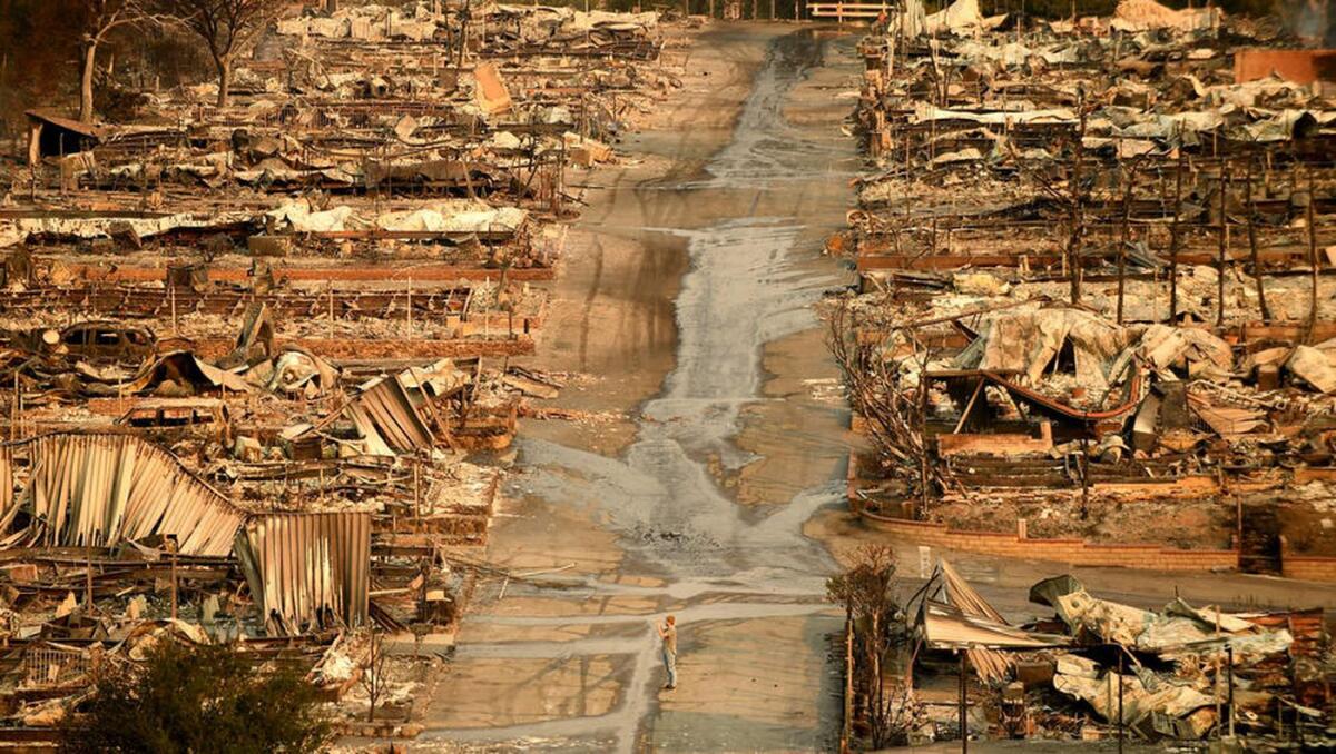
For the last 10 years, the sound of police scanners has served as Thomas Gorden’s preferred soundtrack.
He doesn’t pay attention to every bit of information broadcast from the handful of devices he owns. But there are certain words and conversations he’s learned to key in on.
On Nov. 7, a call went out that someone had been shot outside the Borderline Bar and Grill in Thousand Oaks. Then another. Gorden listened to the drone of 911 calls picking up in the background. He realized there was nothing typical about this shooting.
“When [officers] went inside and said they’re going to need a lot of ambulances, that’s when I realized this was a mass shooting,” said Gorden, 22.
Gorden tweeted from @VCScanner — his Twitter account that has amassed a following of thousands — alerting many in the area to the shooting, including the first Los Angeles Times reporter on the scene.
Jess Weihe had just been about to close her laptop when she saw Gorden’s all-caps tweet about the shooting.
She stayed awake for several hours, anxiously refreshing her feed for more updates. Many in Thousand Oaks shared a similar story of a sleepless night after seeing the tweet that rattled their community.
“Early on, the not knowing is the scariest part,” said Weihe, who lives in Newbury Park.
Within 24 hours, another disaster hit Ventura County. First one fire, then a second.
Gorden heard the call for the Hill fire in Ventura County. As it grew, the Woolsey fire started in Ventura and Los Angeles counties. As it headed toward Oak Park, Gorden began tweeting. At one point, he worked for 48 hours straight without sleep. He didn’t slow down until this weekend.
“A lot of people are saying that they found my information more helpful than what officials were putting out or were able to evacuate earlier than other people who evacuated Oak Park after all the gridlock.”
Many said they relied on the account when they could smell smoke or see a fire but hadn’t yet received an emergency alert.
Cal Lutheran University senior Annabelle Worrall was in shock from the shooting, which took the life of Cal Lutheran alum Justin Meek, who graduated from the school in May.
She was sitting across from her roommate at a table when she got a Twitter notification from @VCScanner about a wildfire. They couldn’t believe it.
“Everyone was still freaked out from that day,” said Worrall, 21.
Worrall went to her house in Westlake Village and a few hours later, she had to evacuate again. She eventually ended up in Pasadena.
“We’re just exhausted. I’m exhausted,” she said.
Police scanners aren’t foolproof methods for learning about emergencies and authorities caution against reporting on what’s overheard. There are rules Gorden abides by when it comes to sharing information. Tactics that could compromise the safety of police officers, for example, are something he never touches.
“Certain things shouldn’t be tweeted.”
Gorden, who lives in Simi Valley, started the @VCScanner account in 2011. The first wildfire he actively covered was 2013’s Springs fire in Ventura County. But it was last year, during the Thomas fire in Ventura and Santa Barbara counties, that people started paying more attention.
“I learned a lot from that one. People need to leave before there’s an evacuation order. You can’t rely on authorities to always get you out on time.”
In the case of the fires in Ventura County, Gorden said he heard from people who saw his tweets about 30 to 45 minutes before the official evacuation orders.
Gorden’s @VCScanner account following grew from 6,000 to 26,000 after the Thomas fire and has doubled to 55,000 since this month’s back-to-back episodes.
Victims of the Camp fire file class action lawsuit against PG&E
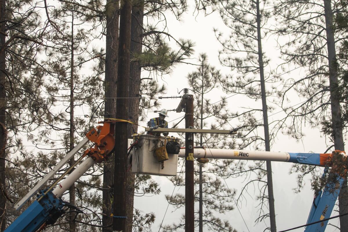
Victims of the Camp fire filed a class action lawsuit against Pacific Gas & Electric Company alleging the utility is responsible for sparking the deadly blaze that killed at least 77 people and destroyed more than 11,000 homes.
The lawsuit, filed Friday in a Butte County superior court by two law firms — Garner & Associates and Franklin D. Azar & Associates— alleges PG&E has a history of disregarding safety regulations to maximize corporate profits.
Attorneys are asking that PG&E pay victims for their loss of property and other costs related to the fire.
The lawsuit alleges PG&E has failed in the past to trim trees near power lines or proactively shutoff power in hazardous fire conditions, and that the fire was preventable. It references a report the utility filed that notified the California Public Utilities Commission of problems with a power line minutes before the Camp fire started.
“PG&E observed by aerial patrol damage to a transmission tower on the Caribou-Palermo 115 kV Transmission line … in the area of the Camp fire,” the utility said in the report.
The lawsuit also references radio transmission recordings of firefighters discussing a damaged transmission line near where the Camp fire started.
A spokesman for the utility said the report was preliminary.
PG&E had notified 70,000 customers that the utility may shut power off due to dangerous fire conditions, but no proactive power shutoffs were initiated. The lawsuit claims the company was negligent in failing to de-energize power lines in fire-prone conditions.
One of the plaintiff’s attorneys urged people affected by the fire to report their claims against PG&E.
“We encourage people affected by the Camp Fire to not respond to robocallers, but to contact the Butte County Bar Association or your local attorney first,” said attorney Ivy Ngo.
A representative for PG&E said the company is aware of the lawsuits regarding the fire.
“The safety of our customers and the communities we serve is our highest priority,” said spokeswoman Lynsey Paulo in an emailed statement. “It’s important to remember that the cause of the Camp Fire has yet to be determined. Right now, our primary focus is on supporting first responders and positioning our employees to assess damage, restore service and rebuild infrastructure, and helping our communities.”
On Wednesday, the utility said if it were found responsible for the fire, its liability would exceed its insurance coverage.
Officials have not yet announced findings on its investigation of what caused the Camp fire.
-------
2:25 p.m.: This article was updated with a statement from PG&E and additional details about the lawsuit.
This article was originally published at 1:45 p.m.
California fires: A timeline of rain moving into the Paradise area
Here is a timeline of rain moving into the Paradise burn zone:
Monday: Dry skies.
Tuesday: Mostly dry skies with rain moving into coastal hills in afternoon and evening.
Wednesday: Rain across Northern California.
Thursday: Second storm system, with heaviest rain Thursday night and Friday morning; chance of debris flows..
Friday: Heavy rain; chance of debris flows.
Source: National Weather Service
California fires: Dramatic before-and-after images of Paradise destruction
A McDonald’s. A gas station. Thousands of homes. Residents of the town of Paradise lost everything.
The California Department of Forestry and Fire Protection is conducting an inventory of the damage. So far the agency has found more than 15,000 buildings ruined by the Camp fire.
Throughout their investigation they’ve taken thousands of photos. Here are some of them.
Cal Fire’s photos of destroyed buildings are haunting
As the California Department of Forestry and Fire Protection inventories the damage caused by the Camp fire, investigators are taking thousands of photos.
They reveal a town destroyed.
Jerry Brown tells truth about California fires that few want to hear: ‘It’s people’
Times columnist George Skelton says Gov. Jerry Brown told the truth about the fires that no one wants to hear:
“You know, we’ve had fires for long before the Europeans showed up here,” the four-term governor replied. “And our indigenous people had a different way of living with nature. For 10,000 years, there were never more than 300,000 [people living in California]. Now we have 40 million and we have a totally different situation.
“So it’s not one thing. It’s people. It’s how people live, it’s where they live, and it’s the changing climate…. And the truth is…we’re going to have more difficulties. Things are not going to get better. They’re going to get more challenging because of the continuing alteration in the climate — lack of moisture, early snowmelt and faster winds, the whole thing.”
Read Skelton’s column here.
Two arrested in connection with alleged burglary of a Cal Fire station in Butte County

Officials have arrested two men in connection with the burglary of a fire station in Butte County.
Robert DePalma and William Erlbacher, both from Concow, Calif., were arrested on suspicion of vehicle theft, looting during an emergency and possession of stolen property, the California Department of Forestry and Fire Protection and the Butte County Fire Department said in a statement Monday.
Bail was set at $250,000 for each man, officials said.
The Cal Fire station was set up to help with the Camp fire, which so far has burned 151,000 acres and was listed as 66% contained as of Monday morning.
Last week, Butte County officials arrested six others on suspicion of looting areas that had been evacuated.
Some in Malibu call this the YOYO fire: ‘You’re on your own’
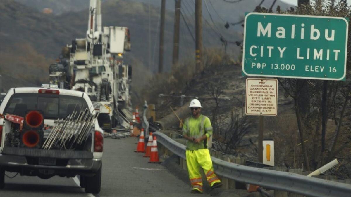
At Malibu Colony Cove, some residents who managed to get past the checkpoint Sunday where sheriff’s deputies were turning back cars groused about the restrictions on their comings and goings.
Angelina Radden’s mother had returned to her West Malibu home.
“She’s very persistent,” Radden said cryptically when asked how her mother had pulled that off.
They had spent days cleaning ash from the house. When Radden heard Friday that a nearby Ralphs was open, she jumped in the car to get groceries — only to learn that the deputies would not let her drive back in. She ended up making the trip on foot.
“You kind of feel like you’re under house arrest,” said Radden, who was hiking back Sunday morning south along Pacific Coast Highway, heading to an area past the Paradise Cove road closure to meet up with a friend who would ferry her back to her car.
“You can’t go anywhere or do anything.”
Lynn Jacob strode past him, toting bags loaded with ice and other supplies back to her car. “The aftermath of this disaster is a disaster in itself,” she said.
Jacob, a longtime West Malibu resident who had returned to her home Sunday, said one of her elderly neighbors had gone to the grocery store without realizing she would be unable to return to her husband, Jacob said.
“She had to cry and cry. She went back three different times before she finally got through,” Jacob said.
Residents have ruefully started calling it the YOYO fire, she said, for “you’re on your own.”
California fires: Deadly Camp fire grows slightly overnight as firefighters boost containment to 66%
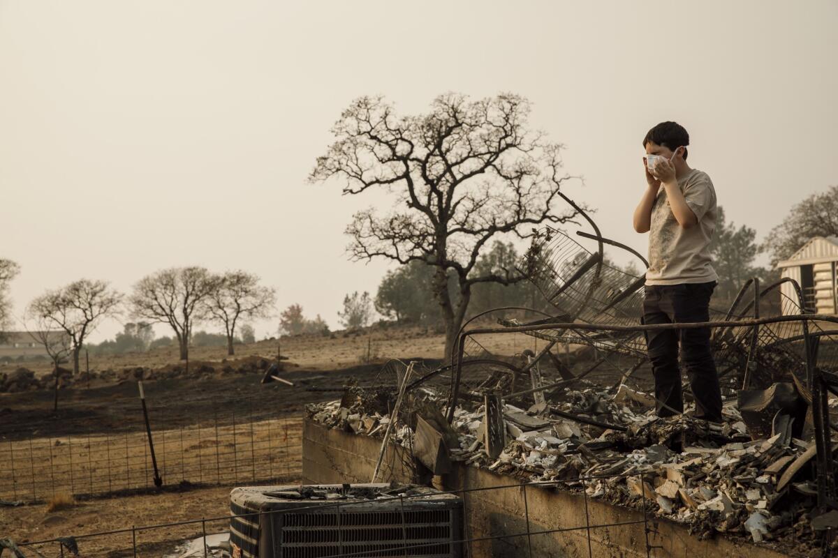
Firefighters continued to make progress overnight against the deadly Camp fire, which has ravaged Northern California for more than a week, boosting containment to 66%, the California Department of Forestry and Fire Protection said Monday.
The fire grew slightly overnight and has chewed through 151,000 acres in Butte County. The blaze, which is the state’s deadliest wildfire, has claimed at least 77 lives and destroyed 15,850 structures. More than 11,000 of those buildings were homes.
Fire officials expect the blaze to be fully contained on Nov. 30.
California fires: Malibu residents stunned at what burned and what survived
When Jeff and Nan Thompson and their son Alex, a ruddy-haired 5-year-old with boundless energy, returned to their hilltop home in Malibu on Sunday, they were astonished by what had burned and what had not.
Burned: bushes scorched black along their driveway, a metal grate only steps from their living room windows, and a nearby house that used to loom over them from the hills.
Not burned: their butterscotch-colored house, which seemed practically untouched save for a scattering of Spanish tiles that had tumbled from the roof.
They already knew it had survived, thanks to neighbors and television footage, but it still amazed Nan Thompson to see just how close the flames had come. She stepped carefully over the broken tiles to photograph bits of damage: a charred patch of the sprinkler system, a garage window that had shattered.
Perhaps the strangest thing was their massive metal storage container, bigger than a dumpster, that had somehow been spun around and flung across the blackened land behind the house. The Thompsons feared it might tumble down the ravine, warning Alex not to get too close.
“Where’s the beehive that was under the container?” Alex asked as he zipped back and forth, a toy dog in his hand.
“It’s gone. All burned up,” Jeff Thompson replied.
Alex paused to take it in. “The bees’ home is burned,” he said.
California fires: Gold Nugget Museum destroyed in Paradise, beloved docent killed
Michelle Rader, who lives in hard-hit Magalia, Calif., said that as far as she knows, her home is still standing. But she attended a vigil because a house is not the only thing destroyed in a fire.
“Many of my friends and co-workers and colleagues have lost their homes,” she said. “I lost my workplace, which is something dear to my heart.”
Rader is the office manager and a board member of the Gold Nugget Museum, which burned in the Camp fire conflagration. One of the museum’s docents died in the Nov. 8 disaster.
John Sedwick, she said, “was an amazing storyteller and historian. It is quite a loss. ... He grew up in Old Magalia and had many amazing stories to tell.”
According to its website, the Paradise museum was founded in 1973. “Its mission is to preserve and protect the Ridge heritage through the collection and display of local artifacts, and with community education programs.”
California fires: Number of structures destroyed in Woolsey fire climbs to 1,500 as containment jumps to 94%
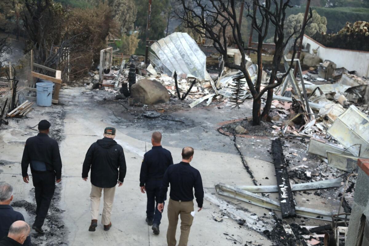
The number of structures destroyed in the Woolsey fire has climbed to 1,500, according to figures released Monday morning by the California Department of Forestry and Fire Protection.
That number could rise in the coming days as fire officials continue their inventory of damage, which is authorities said is about 90% complete.
As additional evacuees were allowed to return to their homes over the weekend, firefighters increased their progress on containing the fire, which swept from Ventura County to Malibu.
The fire is 94% contained and has burned 96,949 acres, officials said Monday. At least three people have died in the blaze.
California fire: Paradise mayor say town will need at least two years to recover
Paradise Mayor Jody Jones, said Sunday authorities have estimated that it will take at least two years for her city to begin to bounce back from the devastating Camp fire — one year to clear debris from the thousands of structures that burned and another to rebuild.
She and her husband are now living in their motor home. So they can have a base of operations as the city comes back, they made an offer on a home in Chico on Tuesday, she said, and it is now in escrow.
“We’ve hugged and tried to support each other,” Jones said as she left a vigil for the victims of the blaze. “We’re all in this together.”
Much of the town was lost in the fire, which burned more than 12,000 structures.
California fires: A loved one missing in a place called Helltown. But search had happy ending
For nearly a week, Laura Cartwright and her brother looked for their 71-year-old reclusive uncle from Helltown, a small community just north of Paradise.
They tried calling him by phone when the Camp fire broke out, but they couldn’t get through. Even on normal days, cell service there is spotty. They checked the American Red Cross shelter’s online list to see whether their uncle had marked himself safe. He hadn’t.
By Day 3, they were worried. By Day 5, they couldn’t sit at home anymore and drove up from Concord to the disaster zone. They ended up roaming a tent city in a Walmart parking lot, asking if anyone had seen their uncle.
A volunteer with family in Helltown overheard them and called his cousin: Was Brian Moriarty there?
“He’s there?” the volunteer asked.
Cartwright placed her right hand over her heart.
“He’s there?” she said, crying.
“Yes. We found him,” the volunteer said.
The siblings hugged.
“You can’t imagine the thoughts I had,” Cartwright said. “We were sure he had lost his life.”
California fires: Number of structures destroyed soars to 1,452 in L.A. and Ventura counties
The number of structures destroyed in the Woolsey fire soared to 1,452 on Sunday night, according to the latest figures from the California Department of Forestry and Fire Protection.
That’s an increase of about 400 structures since a count released Saturday.
As more evacuees were allowed to return to their homes Sunday, firefighters increased their progress on containing the fire, which swept from Ventura County to Malibu.
The fire is 91% contained, according to the L.A. County Fire Department. It has burned 96,949 acres.
At least three people have died.
California fires: He’s inside the Camp fire evacuation zone. That makes him a lifeline for so many
Jeff Evans is one of a handful of people left in Concow, a mountain hamlet tucked deep in the woods that has been under mandatory evacuation orders since the Camp fire tore through here on Nov. 8. If he leaves, he can’t get back in.
His neighbors stuck on the outside have been emailing him requests. Because the gas in the generator powering his electricity — and his internet — is limited, he hops online for a few minutes each day, answers their questions and gets going.
“Every single morning until the afternoon, I’m huffing it,” Evans said. “I’m going and going and going. There’s pigs to feed and goats and ducks and chickens.”
Read more here.
Woolsey fire now 91% contained
As more evacuees were allowed to return to their homes Sunday, firefighters made more progress on containing the Woolsey fire.
The fire is 91% contained, according to the L.A. County Fire Department. It has burned 69,949 acres in Ventura County and Malibu, destroying more than 1,000 structures.
At least three people have died.
Small brush fire reported in Shadow Hills
A small brush fire was reported Sunday afternoon in Shadow Hills after a car rollover.
The Los Angeles Fire Department said the fire was burning around 8300 W. La Tuna Canyon Road.
California fires: 50% chance of rain in Woolsey burn area Wednesday
In Southern California, there’s about a 50% chance of rain over the areas charred by the Woolsey fire as early as Wednesday, said David Gomberg of the National Weather Service. Forecasters say the area could see a quarter to three-quarters of an inch of rain.
“It doesn’t look like a real heavy rain producer,” he said. “In San Bernardino County … it’s very high certainty you’ll get some rain, and going south into Ventura and Los Angeles counties, the probability weakens.”
Even so, forecasters warned of potential rock slides and debris flows across roadways below fire-ravaged slopes, especially along Highway 1 and canyon roads.
California fires: Heading to a Malibu home they said they knew had burned down
Evacuation orders were lifted for some parts of the Malibu Colony Cove neighborhood on Saturday and others were expected to be allowed back into the community at 2 p.m. Sunday. Check here to determine what properties remain under evacuation.
But some people couldn’t wait any longer to return home. Around noon Sunday, Valerie and Edward Nalbentian walked north along the shoulder of Pacific Coast Highway near Zuma View Place in Malibu, heading to a home they said they knew had burned down.
“We haven’t seen it yet,” Valerie said, her expression grim. “But we’ve seen plenty of pictures.”
They had had the Point Dume house for only a year and a half, she said. In the aftermath of the disaster, the couple was preoccupied by trying to find somewhere to rent. In just a few days, she said, someone had hiked the rent on somewhere she was eyeing by $2,000 a month — raising their prices amid the booming demand, she said.
“People are renting places without even looking at them because there’s such a shortage,” she said.
A Los Angeles County Fire Department vehicle slowed alongside them and the driver asked if they needed a ride. The Nalbentians took him up on the offer, piling into the two spare seats for the sobering drive up to Point Dume.
Farther south, Mimi Goldfinger gazed up at the scarred hillside at the intersection of Latigo Canyon Road and Pacific Coast Highway, cradling a fluffy white dog in her arms. Before, she said, “it was all lush.”
She and her husband, Morris, were waiting to return to their home in a gated community and find out whether it had survived.
From their hotel near Los Angeles International Airport, they had heard bits and pieces from the utility workers who had been dispatched to do work in the aftermath of the disaster — and who were staying at the same Sheraton hotel — as well as the security company their community had hired to patrol the area. They knew that other homes above and below had been destroyed, but “I don’t know about our house,” Mimi said.
She was wearing the black athletic pants she had on when she headed to the gym the morning that the fires broke out, before she discovered that the shops had no electricity and realized what was going on. When she got back to the house, Morris was packing up.
“I grabbed almost nothing,” he said.
“The laptop,” Mimi replied.
“And the dog,” he added.
“And the daughter!” Mimi said, smiling.
Disaster assistance centers will be open Monday in Malibu and Agoura Hills to help residents replace records lost in the blaze, file insurance claims and apply for disaster assistance.
California fires: Finland president isn’t sure what Trump is talking about on raking and forests
Finland’s president isn’t sure where U.S. President Trump got the idea that raking is part of his country’s routine for managing its substantial forests.
Trump told reporters Saturday while visiting the ruins of the Northern California town where a fire killed at least 76 people that wildfires weren’t a problem in Finland because crews “spend a lot of time on raking and cleaning and doing things” to clear forest floors.
Finnish President Sauli Niinisto said in an interview published Sunday in the Ilta-Sanomat newspaper that he spoke briefly with Trump about forest management on Nov. 11, when they were in Paris for Armistice Day events.
Niinisto said their conversation focused on the California wildfires and the surveillance system Finland uses to monitor forests for fires. He remembered telling Trump, “We take care of our forests,” but couldn’t recall raking coming up.
The U.S. leader’s comment generated amusement on social media in Finland, which manages its vast forests with scientific seriousness.
Forests cover more than 70% of Finland’s 338,000 square kilometers. The Nordic country with a population of 5.5 million is home to some of the world’s biggest paper and pulp companies.
California fires: Latest forecast confirms rain in Paradise by Wednesday
The latest forecast from the National Weather Service on Sunday confirms rain moving into the Paradise, Calif., burn area by Wednesday.
Meteorologists have “very high confidence” that Butte County will get four to five inches of rain from Tuesday night through the weekend, with the heaviest rain Thanksgiving night, said Eric Kurth, a meteorologist with the National Weather Service.
California fires: Paradise schools devastated, need 100 portable classrooms for students
Fire-ravaged schools in Butte County are expected to reopen Dec. 3.
The Butte County office of education said in a statement that it needs the equivalent of 100 portable classrooms to handle the students whose schools were burned in California’s worst fire.
“The greatest need is in Paradise where the Paradise Unified School District and a thousand charter school students are now displaced because multiple school sites were damaged or destroyed,” the office said in a statement.
The office also said it was seeking donations from “a wide range of potential benefactors ranging from philanthropists, high-tech businesses, and members of the entertainment industry” to help with the rebuilding and reopening efforts.
California fires: Why didn’t PG&E shut off power before Paradise burned?
On Nov. 6, PG&E again began warning 70,000 customers — including those in the town of Paradise, Calif. — that it might flip the switch in the face of fire danger.
But for reasons that remain unclear, the utility decided not to shut off power that day.
Fierce winds picked up in the Sierra foothills that morning, fueling the most destructive fire in California history, which has burned nearly 10,000 homes, killed at least 71 people and left more than 1,000 unaccounted for.
The cause of the Camp fire is still under investigation, but there is suspicion that, like several of the wine country blazes last year, it was sparked by power lines. PG&E said a transmission line in the area went offline 15 minutes before the fire was first reported, and the company found a damaged transmission tower near where investigators have said the fire began.
PG&E has said weather conditions “did not warrant” a shut-off but has declined to explain further. Utility officials have said a preemptive blackout would probably not have prevented the Camp fire, even if power lines turn out to be the cause. The company doesn’t shut off transmission lines that operate at or above 115 kilovolts, the size of the line under scrutiny in the Paradise blaze.
California fires: Search continues for victims in Paradise
California’s worst wildfire is now 60% contained as searchers look for more victims in Paradise.
As of Sunday morning, the Camp fire had burned 149,000 acres and more than 12,000 structures. The death toll rose to 76 Saturday with more than 1,000 people still unaccounted for.
Firefighters on Sunday will be dealing with elevated winds, with a red flag warning in effect through the afternoon.
A huge loss for treasured open spaces in Santa Monica Mountains
For miles and miles in the Santa Monica Mountains, from ridgeline to ridgeline in all directions, the Woolsey fire exacted a heavy toll, burning 100,000 acres — 83% of the area’s federal parkland.
It is a huge loss for an unlikely wilderness that has persisted for decades through dogged conservation despite surrounding urban sprawl.
Public access to the range was hard fought by a bipartisan coalition of conservation and civic groups starting in the 1960s. Their goal: a unique combination of city, county, state and federal land, together with beaches, trails and scenic corridors that would run from Griffith Park to Point Mugu in Ventura County.
Smoke continues to choke Northern California, but relief on the way
Smoke continues to choke large swaths of Northern California, but relief is on the way in the form of upcoming rains.
The Bay Area and Sacramento Valley have seen unhealthful air for days thanks to smoke from the Camp Fire.
Air quality got slightly better this weekend, but officials said the big change will come with the rains.
Though it’s too early to give more precise estimates, meteorologists have “very high confidence” that Butte County will get 4 to 5 inches of rain from Tuesday night through the weekend, with the heaviest rain Thanksgiving night, said Eric Kurth, a meteorologist with the National Weather Service.
“That’s going to be spread out over a period of days … not coming down all at once,” he said. That may be a good sign.
Typically, debris flows are expected when rain falls at half an inch per hour or more, said David Gomberg of the weather service. That means the rain would have to be fairly heavy to lead to mudslides.
In Southern California, there’s about a 50% chance of rain over the areas affected by the Woolsey fire as early as Wednesday, Gomberg said. If the rain does come, the weather service expects the area to get a quarter to three-quarters of an inch of rain.
California fires: Number of structures destroyed in Woolsey fire tops 1,100
The destruction from the Woolsey fire keeps expanding.
As of Sunday morning, the fire had destroyed more than 1,100 structures.
The fire is now 88% contained, having burned nearly 97,000 acres from Oak Park and Malibu.
Three people have died.
More than 1,000 structures destroyed in Woolsey fire, marking grim milestone
The number of structures destroyed in the Woolsey fire jumped above 1,000, officials said Saturday night, establishing it as one of the most destructive Southern California wildfires in years.
The new damage estimates come as firefighters continue to make progress in containing the blaze. The fire has burned more than 98,000 acres from the Oak Park area to Malibu and is 84% contained.
The fire has killed three people.
President Trump toured Malibu Saturday to survey the destruction with Gov. Jerry Brown and governor-elect Gavin Newsom. He vowed to helped with the recovery effort and work to reduce the risk of such fires.
“We’ll be looking at everything,” he said. “It’s land management — it’s forest management, really, is what you mean. We’re going to get to the bottom of it.”
The fire started near the old Santa Susana test lab near Simi Valley. Pushed by powerful winds, it marched into Oak Park, Westlake Village and other parts of Ventura County before hitting Malibu.
While Trump toured the area, other residents were trying navigate the disaster zone.
Carol Bretonne, 78, stood in line behind more than a dozen people, waiting for the doors of a Malibu courthouse to open. The courthouse was serving as a disaster center for victims of the Woolsey fire.
Bretonne wanted to find out what services would be offered to help rebuild her Malibu home. It was the second time she’s lost everything.
A 1978 blaze swallowed her house. A year later, she started construction on the boxy structure that was consumed in the Woolsey blaze. Now, she wonders if she can shoulder the high cost of debris removal, which her insurance doesn’t cover.
“We lost our neighborhood,” she said. A week after she lost her home, Bretonne also lost her mother to old age.
Dozens of federal, state and local agencies have set up tables inside the Los Angeles County Superior Courthouse in Malibu to help residents navigate the services to get the help they need.
Tables lined the usually empty hallways, and an official allowed five people into the building at a time. Those in need went from one table to another, stuffing forms, pamphlets and snacks into reusable bags. The disaster center is slated to stay open until mid-December, officials said.
Steven Cordrey, 52, stood in line near Bretonne. He said that despite the horrific devastation some Californians endured during the Woolsey fire, some things remain the same.
He spotted surfers catching the waves. The trees, some tinged with fall, swayed in the wind, adding beauty to the landscape. And the sun reflecting off the rippling ocean was picturesque.
“It’s very surreal,” he said. “Because where we’re at, there is nothing.”
Cordrey lost his house in the 1994 Malibu fires, but he found this time around was worse. He said the lack of information has frustrated him. For nine days, Malibu residents hadn’t had an array of services lined up in one place as they were at the courthouse Saturday.
California fire: Death toll rises to 76 in Paradise; 1,276 on list of missing
The death toll from California’s worst fire on record rose to 76 as President Trump vowed Saturday to help California recover from the devastation and work to prevent catastrophic blazes.
The number of those still unaccounted for continued to rise, standing at 1,276 people as of Saturday night. But Butte County officials said the list is far from precise and could include duplicates as well as the names of people who have not checked in with loved ones or authorities.
The remains of five more people were found Saturday.
Areas affected by the California fires will probably get some rain over Thanksgiving
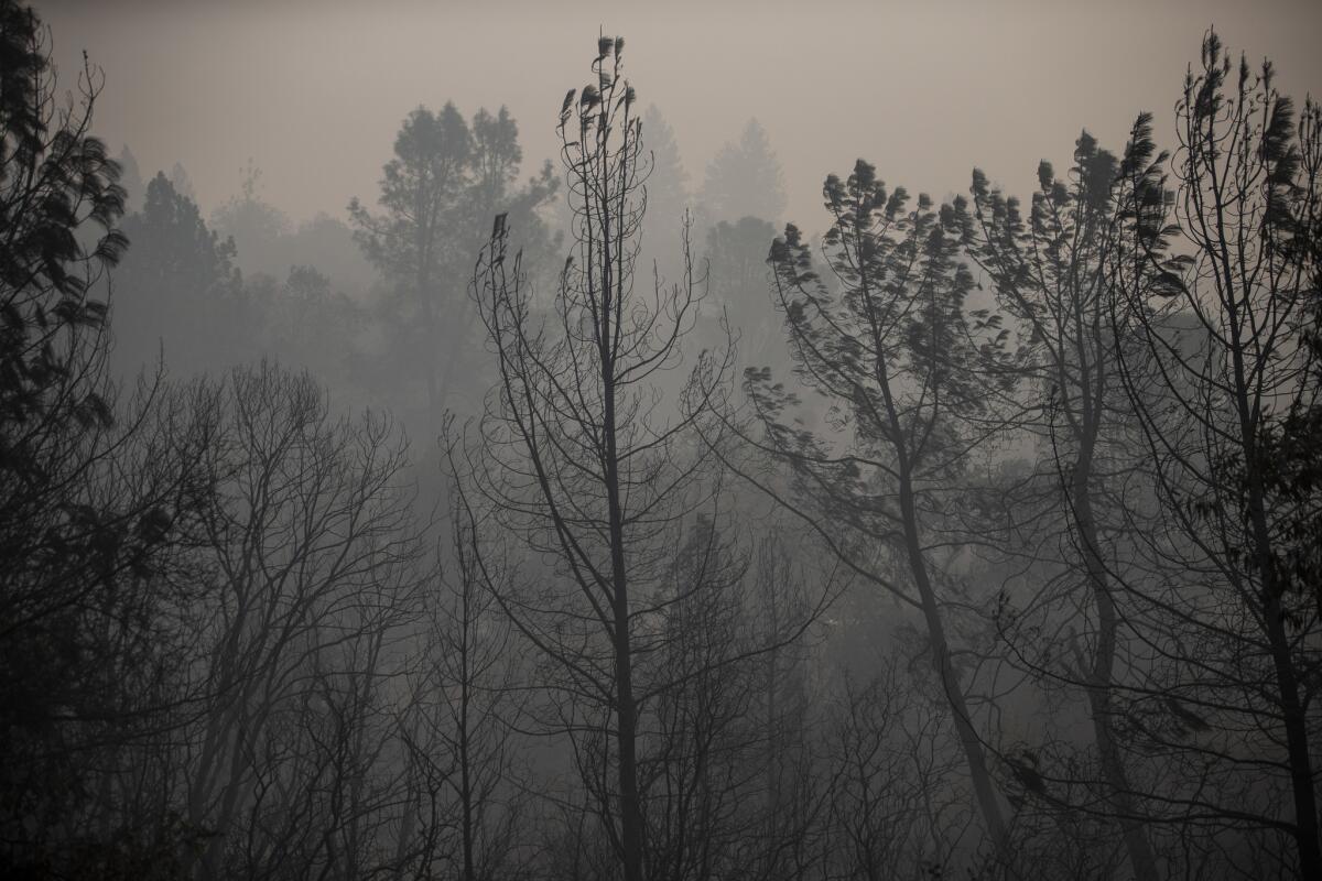
Rain is likely to fall over areas recently affected by the Camp and Woolsey fires in the coming week, weather experts said.
Though it’s too early to give more precise estimates, meteorologists have “very high confidence” that Butte County will get 4 to 5 inches of rain from Tuesday night through the weekend, with the heaviest rain Thanksgiving night, said Eric Kurth, a meteorologist with the National Weather Service.
“That’s going to be spread out over a period of days … not coming down all at once,” he said. That may be a good sign.
Typically, debris flows are expected when rain falls at half an inch per hour or more, said David Gomberg of the weather service. That means the rain would have to be fairly heavy to lead to mudslides.
In Southern California, there’s about a 50% chance of rain over the areas affected by the Woolsey fire as early as Wednesday, Gomberg said. If the rain does come, the weather service expects the area to get a quarter to three-quarters of an inch of rain.
“It doesn’t look like a real heavy rain producer,” he said. “In San Bernardino County … it’s very high certainty you’ll get some rain, and going south into Ventura and Los Angeles counties, the probability weakens.”
Trump will visit families of Borderline mass shooting victims in Thousand Oaks
President Trump, after touring areas of Malibu burned by the Woolsey fire, said he will meet with families of victims of the Borderline Bar and Grill mass shooting in Thousand Oaks.
Twelve people were killed when an ex-Marine opened fire at the bar, which was hosting a college night. The shooting occurred hours before the Woolsey fire ignited, burning homes in Ventura County and forcing evacuations in Thousand Oaks.
Trump called the shooting horrible and noted it occurred in a “perfect area” that had a very low crime rate.
President Trump arrives in Southern California to assess Woolsey fire damage
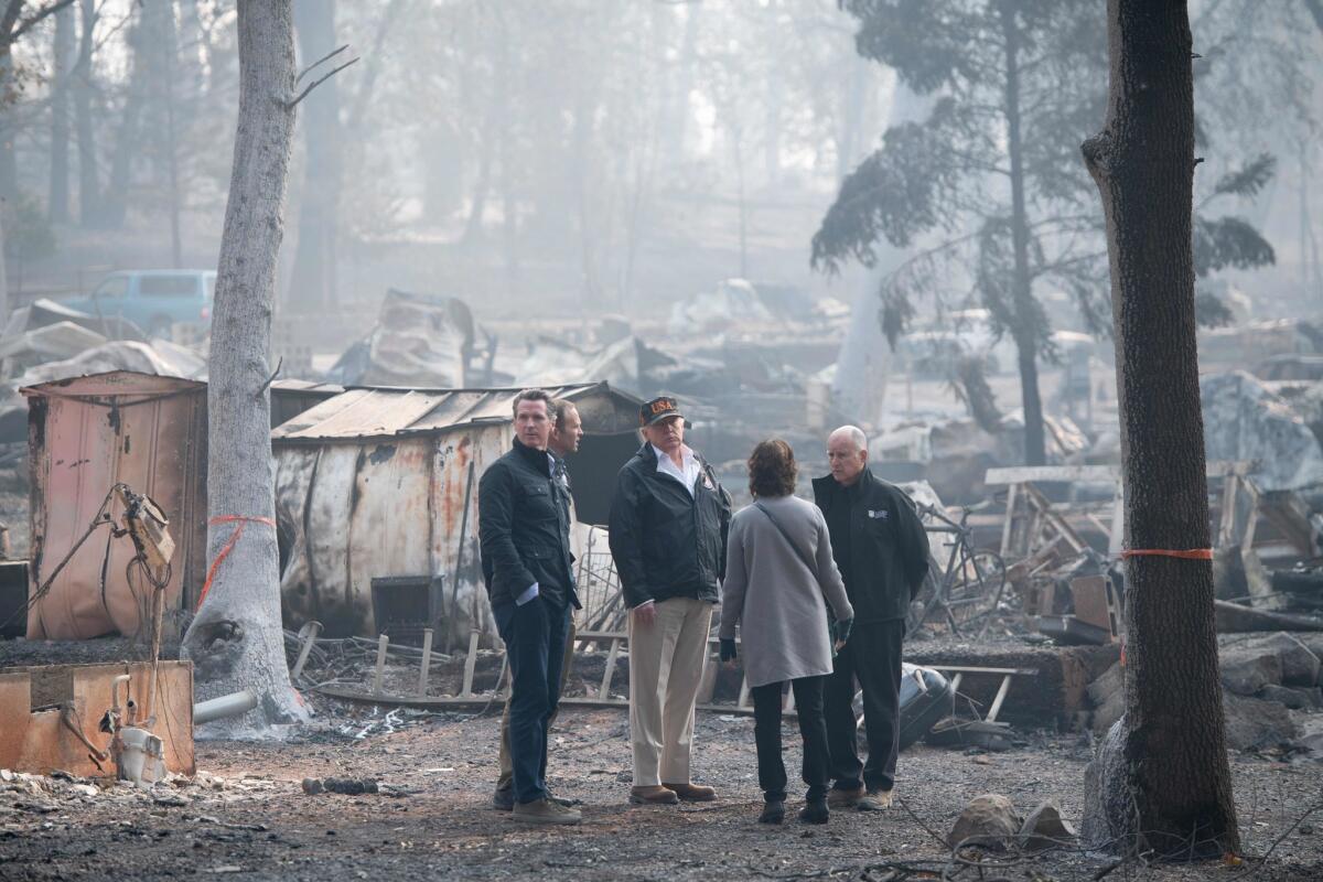
President Trump arrived in Point Mugu on Saturday afternoon after a flight from Beale Air Force Base in Yuba County.
Accompanied by Gov. Jerry Brown, Gov.-elect Gavin Newsom, California Rep. Kevin McCarthy and Federal Emergency Management Agency chief Brock Long, the president shook hands with greeters on the tarmac.
The presidential motorcade left Naval Air Station Point Mugu about 3:25 p.m. to tour areas affected by the Woolsey fire, which has grown to more than 98,000 acres, destroyed 836 structures and killed three people.
Later, Trump addressed reporters who asked about his views on climate change and gun control in light of the Woolsey fire and the Borderline bar shooting, which both struck Thousand Oaks.
“We’ll be looking at everything,” he said. “It’s land management — it’s forest management, really is what you mean. We’re going to get to the bottom of it.”
He did not address his views on gun control but said he would be meeting with families who lost loved ones in the Thousand Oaks shooting, a “horrible event in a great area.”
When asked about whether his relationship is now improved with the California leaders he has so openly criticized, Trump said, “I think we’ve developed a good relationship.” He reached toward Newsom standing several feet away, patting his back and shaking his hand.
Malibu residents shift focus to resources that will help them rebuild after Woolsey fire
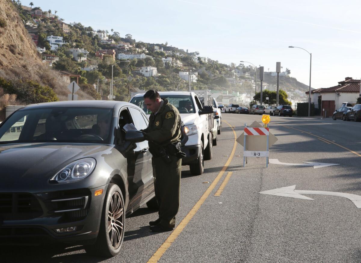
Carol Bretonne, 78, stood in line behind more than a dozen people, waiting for the doors of a Malibu courthouse to open. The courthouse was serving as a disaster center for victims of the Woolsey fire.
Bretonne wanted to find out what services would be offered to help rebuild her Malibu home. It was her second time she lost everything.
A 1978 blaze swallowed her house. A year later, she started construction on the boxy structure that was consumed in the Woolsey blaze. Now, she wondered if she could shoulder the high cost of debris removal, which her insurance doesn’t cover.
“We lost our neighborhood,” she said. A week after she lost her home, Bretonne also lost her mother to old age. The double tragedies have left her unconcerned about President Trump, who Saturday afternoon was making his way to Malibu to assess wildfire damage.
“What is he going to do?” she said. “He doesn’t do anything. He did finally claim a disaster area so we can get FEMA.”
Right now, she doesn’t have the time to keep up with Trump. She’s trying to map out what’s next.
Dozens of federal, state and local agencies have set up tables inside the Los Angeles County Superior Courthouse in Malibu to help residents navigate the services to get the help they need.
Tables line the usually empty hallways, and an official allowed five people into the building at a time. Those in need go from one table to another, stuff forms, pamphlets and snacks in reusable bags. The disaster center is slated to stay open until mid-December, officials said.
Steven Cordrey, 52, stood in line near Bretonne. He said despite the horrific devastation that some Californians endured during the Woolsey fire, some things still remain the same.
He spotted surfers catching the waves. The trees, some tinged with fall, swayed in the wind, adding beauty to the landscape. And the sun reflecting off the rippling ocean was picturesque.
“It’s very surreal,” he said. “Because where we’re at, there is nothing.”
Cordrey lost his house in the 1994 Malibu fires, but he found this time around was worse. He said the lack of information has frustrated him. For nine days, Malibu residents haven’t had an array of services lined up in one place as they were at the courthouse Saturday.
“It’s 2018!” he said, his voice shaking with emotion. “This is a travesty. We have not been allowed in for nine days. We’re treated like criminals when I go to checkpoints to ask.”
He believes he spotted rubble where his home once stood when Caitlyn Jenner posted a video from her hilltop home that panned what was his neighborhood.
“That’s how all of us found out,” he said. “Nine homes. Nine neighbors. That’s not OK that’s how we found out there’s no neighborhood and nobody’s there.”
#RakeAmericaGreatAgain: Twitter claps back at Trump’s comments about forest management
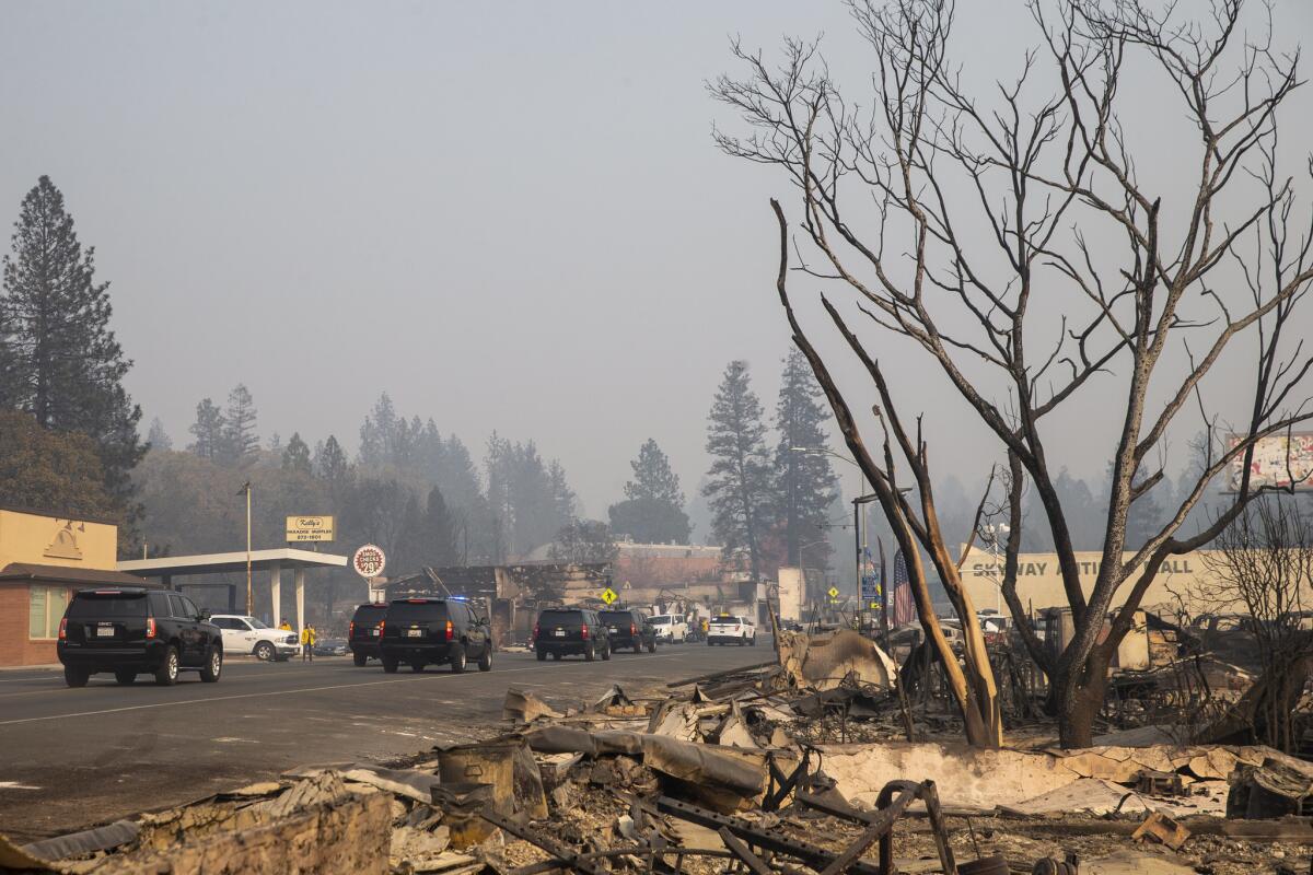
President Trump’s rhetoric on California’s wildfires has been a source of consternation for some.
Last week, he was widely criticized for blaming the state’s deadly fires on poor forest management, an idea experts were quick to debunk. But during his visit to Paradise, Calif., on Saturday morning, Trump made similar comments about forest management.
Addressing reporters after surveying what was left of the Skyway Villa Mobile Home and RV Park, Trump praised Finland, which he called “a forest nation” for doing things differently.
“They spend a lot of time raking and cleaning and doing things, and they don’t have any problem,” he told reporters Saturday. ‘I know everybody’s looking at that.”
Twitter users quickly responded, using the hashtag #RakeAmericaGreatAgain to criticize the president’s statements.
Some Woolsey fire victims feel anger toward Trump as he makes his way to Malibu

As President Trump makes his second visit to California since taking office, to view the damage caused by the deadly Camp and Woolsey fires, those who were forced to flee questioned his motives Saturday.
Carrie Armstrong, 57, of Topanga said she read the statement Trump posted on Twitter as the Woolsey fire in Malibu raged through the canyon and threatened her home. That tweet, posted a week ago, blamed the wildfires on poor forest management and misappropriation of funds.
For Armstrong, the erroneous remark added what she said was a new level of betrayal by the president.
“To say what he says, to tweet what he tweets, then to come and act like he cares about what is going on here is absurd,” she said. “He’s still the president. He shouldn’t speak so badly about people [in crisis]. He hates California.”
Armstrong said she spent six days holed up in her niece’s Van Nuys apartment with her cat and dog. She returned, grateful to be alive and her home still standing. The worry, she said, has turned to anger as she thinks about the president descending on her home state.
“He’s only visiting because he got so much flak and negative feedback” from his tweet, she said.
Nine days ago, the deadly Woolsey fire forced tens of thousands of people from their homes and left three dead. On Saturday, some of those who fled — such as 47-year-old Ryan Victor — found themselves trying to return to the natural rhythm of life.
Up first on Victor’s list: pick up the pile of mail that has accumulated since he was evacuated from his Topanga home.
But as he went about his errands, he said he had become numb to Trump’s rhetoric but that this was different.
“The idiotic things that comes out of his mouth doesn’t register much anymore,” he said. “But I’m outraged over the hypocrisy.”
He noted the president’s tweet that seemed to place the blame for the wildfire on California and its policies, followed by what now seems like a show of support and compassion by visiting.
“With him, as long as he signs the check” to help with the recovery “and doesn’t withhold federal funds for forest management, that’s all that matters,” he said.
Everything else: “It’s a lot of noise.”
For Victor, there’s no way Trump can redeem himself.
“He has no credibility,” he said as he grasped the leash of Luna, his Australian shephard. “What is he going to do? Come here and throw paper towels at people like its Puerto Rico?”
On Saturday, people teemed in and out of the Topanga Post Office to pick up mail. Some people carried plastic bins to haul their mail; others hugged thick stacks close to their chest.
Jesse Gordon, 49, clutched junk mail, grocery advertisements and letters. His Topanga home was spared. He said he opposes many of Trump’s policies but thinks the president’s visit could be a step in the right direction.
But it will take more than a visit, Gordon said, adding that Trump might redeem himself by supporting and crafting policies that protect the coast and parks and address climate change.
He said he hopes Trump learns that “it’s not about pointing the finger. It’s what can we do to keep us all safe in this planet that is changing so quickly and dangerously.”
California fires: Trump, Brown, Newsom survey the Paradise devastation, vow to work together

President Trump, Gov. Jerry Brown and Gov.-elect Gavin Newsom tour the fire-wrought devastation in Paradise, Calif.
President Trump, Gov. Jerry Brown and Gov.-elect Gavin Newsom on Saturday toured the devastation left by the Camp fire in Paradise, Calif.
Along with Jody Jones, Paradise’s mayor and Brock Long, director of the Federal Emergency Management Agency, Trump walked through a smoky haze among the ruins of Skyway Villa Mobile Home and RV Park.
He held his hands to his waist and looked around him, surveying the damage of the state’s most destructive wildfire that killed 71 people with more than 1,000 unaccounted for.
Light ash was still falling in the area, but Trump, Brown and Newsom did not wear masks. California representatives Kevin McCarthy and Doug LaMalfa were in attendance, but did not walk around the area with Trump.
Trump listened to officials, who spoke to him about the many who sheltered in place from the fire, including patients at a nearby hospital and a K-Mart store. He asked about the Wal Mart in Chico.
“By 5 o’clock, Paradise was completely gone,” Jones said told Trump.
Trump then stopped to briefly address reporters. He lauded law enforcement’s efforts and offered support to the representatives accompanying him. He, along with Brown, vowed to work together to help the state recover.
“Nobody would have ever thought this could have happened,” he said. “The federal government is behind you, we’re all behind each other.”
“Kevin, anything we can do, you know we’re here,” he continued, speaking to McCarthy. “You just bring it over to the office, okay?”
Trump made reference to his earlier comments about better forest management, citing Finland as a good example of country that keeps its forest clear. But his comments were more restrained.
“We have to do management, maintenance and we’ll be working also with environmental groups,” he said. “I think everybody’s seen the light on that.”
Later, when a reporter asked if his opinions on climate change have changed since wildfires have ravaged the state, Trump replied simply: “No.”
That morning, the presidential motorcade had driven past scorched fields as well as destroyed homes and burned out cars.Along the route are some bystanders who are holding Trump signs.
One man was holding a garden rake to which he taped a sign that said: “Our Fault: Really?”
The president is expected to fly to Southern California Saturday afternoon to assess the Woolsey fire’s damage.
-------
1:10 p.m.: This article was updated throughout with details about Trump’s tour of Paradise.
This article was originally published at 12:03 p.m.
Victims of the Camp fire have mixed feelings about the president’s visit to California
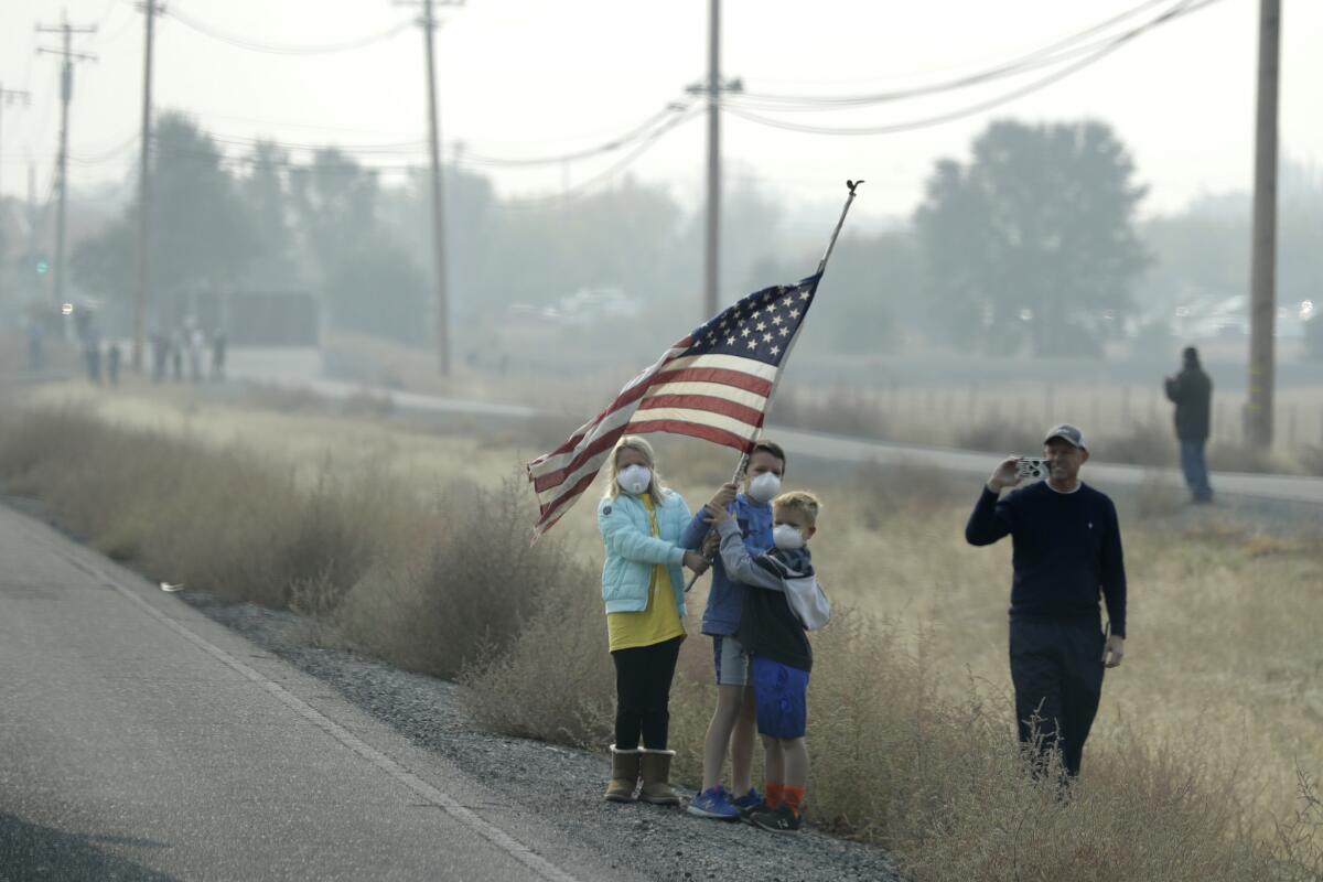
On the morning the Camp fire broke out, Pam Weaver was talking to her cousin on the phone about California’s recovery from the Santa Rosa fires last year.
Just then, she looked out her window and saw embers flying everywhere. She had to evacuate.
One week later, Weaver waited in line Saturday at the disaster recovery center at the Chico Mall. The line at the center, managed by Butte County and the Federal Emergency Management Agency, was hundreds of people long, snaking around the building.
Victims of the Camp fire waited to begin the process of replacing their official documents, such as birth certificates and Social Security cards, and to apply for FEMA aid.
The same morning, President Trump’s motorcade passed through Chico. He arrived at Beale Air Force Base just before 10 a.m. and was scheduled to meet with firefighters and victims of the destructive Camp fire, which has burned 148,000 acres and killed 71 people.
Weaver said that the president’s visit makes her feel like her town is “not forgotten.”
“I think it’s going to make the community feel like they’re important,” she said.
Trump was criticized last week for erroneously blaming the fires on poor forest management and threatening to cut off funding to California. He has since taken a more conciliatory tone.
”We are with you all the way — God Bless you all!” he tweeted Saturday morning as he made his way to California.
Sean Bandstra, 43, who voted for Trump, said the president’s comments about the fires were “offensive.” Bandstra, of Magalia, lost his home, but got a one-bedroom apartment in Orland.
“And that’s the first thing he comes up with?” Bandstra said. “I could do without him.”
Pam Kopping, 46, still gets the chills when she thinks about her escape from Paradise. Kopping remembers ash falling like rain as she filled her gas tank and hardly being able to see or breathe as she drove out of town.
“I’m so thankful to be here,” she said.
Kopping, along with her two sons, ages 6 and 10, are staying with an aunt in Chico and will be moving into an apartment in a month.
“I’m one of the lucky ones,” she said. “There are thousands of us looking.”
Her children’s charter school may set up portable trailers in Chico so the kids don’t have to start all over at school and get to maintain some normalcy, she said.
Deborah Clark, 57, and her husband, 71, are staying in the living room of her sister’s house in Los Molinos, about 30 miles northwest of Chico. Her home at the Holly Hills mobile home park is “totaled,” along with all the other trailers there.
“I was ready to go down with the house,” she said. “My husband and the fireman shoved me into the car.”
She had to leave her two cats behind, ages 12 and 2, and she’s hoping they got taken to an animal shelter. Clark and her husband are on fixed incomes. She’s hoping federal officials can help her find more permanent housing.
“We just paid rent the day before the fire,” she said.
She hopes to get another mobile home and someday go back to Paradise.
“It checked off every box we ever dreamed of for retirement,” Clark said. “It was everything that the name implied.”
Clark said she’s glad the president was paying a visit to see the destruction of the fire.
“It’s good that he’s coming to actually see it,” she said.
California fires: Rep. Doug LaMalfa dismisses criticism of Trump’s tweet that blamed fires on the state’s forest management

President Trump did not speak with journalists after landing at Beale Air Force Base in Northern California on Saturday morning.
The president was accompanied by White House senior advisor and Trump son-in-law Jared Kushner, White House Chief of Staff John Kelly and Reps. Kevin McCarthy (R-Bakersfield) and Ken Calvert (R-Corona). Gov. Jerry Brown and Gov.-elect Gavin Newsom met Trump on the tarmac, according to a White House pool report.
Trump was roundly criticized last week for erroneously blaming the fires on poor forest management and threatening to cut off funding to California. Rep. Doug LaMalfa (R-Richvale), who was also traveling with the president on Saturday, talked to reporters on the significance of forest management before Air Force One landed in California.
“The president wants to get something done on this,” LaMalfa told journalists. “We need to be a lot more aggressive.”
LaMafa dismissed criticism of the president’s earlier tweets about the state’s poor forest management, saying the criticism has more to do with its timing and politics than the substance of the argument.
He said that forest management does not mean clear cutting but rather thinning and creating buffers around populated areas.
“Without forest management, things can go wrong,” he said.
California fires: 836 structures lost in blaze that swept through Ventura County and Malibu
The toll of destruction from the Woolsey fire continues to increase as crew assess the burned landscape.
As of Saturday morning, officials said the fire had destroyed 836 structures. It has burned 98,362 acres and is 82% contained. Three people have died in the blaze, which burned through Ventura County and into Malibu in coastal Los Angeles County.
Cal Fire said 70% of the damage assessment has been completed.
An aerial view of Malibu before and after the Woolsey fire
Geospatial Imaging Center/Vexcel Imaging
California fire: Why did some Paradise homes burn and others survive? A Cal Fire team sifts through the ruins to find out
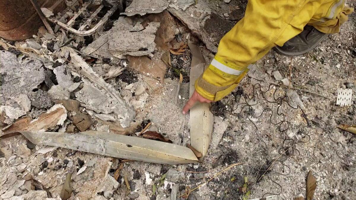
The survivors of Paradise aren’t the only ones with a story to tell about the fire that destroyed their town.
Buried within the harrowing tales of escape and heart-wrenching loss suffered by Paradise’s 27,000 residents, among the charred Ponderosa pines and scorched rubble, are clues to what transpired when a small fire broke out nearby on the morning of Nov. 8 and swallowed the town in a matter of hours.
While thousands of firefighters currently battle the Camp fire in Butte County and hundreds of law enforcement officers search for human remains among the ruins, it’s up a few dozen California Department of Forestry and Fire Protection investigators to read what the forest — and the buildings both standing and destroyed within it — has to tell them about why the Camp fire chose to destroy what it did that day.
The story is of keen interest to Jeff Hakala, a fire captain who was a firefighter for 20 years with Cal Fire before switching over to the agency’s prevention side with a focus on land use planning. Hakala spent a part of his firefighter training at Paradise’s Fire Station 35, about a mile down the road, in the 1990s.
He was at the wine country fires last October, the Thomas fire in December and both the Carr and Mendocino Complex fires this past summer. On Friday, he spent the afternoon surveying the damage to properties off Skyway west of Clark Road from the most destructive, deadliest wildfire of them all.
“I see the areas [where] I used to go shopping and be a part of,” said a melancholic Hakala. “I kind of knew this area.”
Wearing yellow turnouts, thick boots and a helmet, Hakala circled the cinderblock walls that hid the gutted interior of a two-story home.
He leaned down and picked up a piece of broken glass. It fit like a puzzle piece with the other shards that lay around it flat on the ground, still recognizable as the shape of a window.
The glass didn’t look thick to the untrained eye, but to Hakala, it was. If it had been a dual-paned window, it would have been thinner and possibly had a filmy sheen from the argon gas used to maximize thermal efficiency.
He pointed to the square hole in the wall it fell from — the top of it had metal framing — another telltale sign of a single-pane window, he said.
Next to the glass, under dirt, ash, debris, blackened twisted metal and a piece of that window frame, he pointed to a piece of gravely skinned material that blended in with everything around it but bore significance to him.
“This is composition shingles, because it’s kind of rough like that,” he said, running his index finger over the top. “If it was tile … it’d be in the body of the structure.”
Every detail — from the shape and material of a home’s eaves and the size of its vents to the types of windows and walls it’s framed in — will be added into an ever-growing database Cal Fire is building about Paradise.
“All that data is ultimately going toward finding out why homes are burning down,” Hakala said.
The job is simple but meticulous.
The damage assessors divided Butte County’s burnt ridges into zones and smaller divisions. They use parcel maps to determine where properties are supposed to be, then go lot to lot, circling what’s left of the building on foot. They make notes on an app on their cellphone.
One damage assessor said he can survey between 60 and 100 properties in a day, depending on the density of the area and complexity of the scene.
More than 12,000 buildings were destroyed in the 146,000-acre Camp fire, with at least 9,700 of those being single-family homes like the one Hakala was inspecting on Friday. The entire area will eventually be searched, he said. All of that information is transmitted back to headquarters, where it’s compiled and ultimately used to create the map the public sees online that shows which homes are destroyed, suffered major or minor damage or came out of the blaze unscathed.
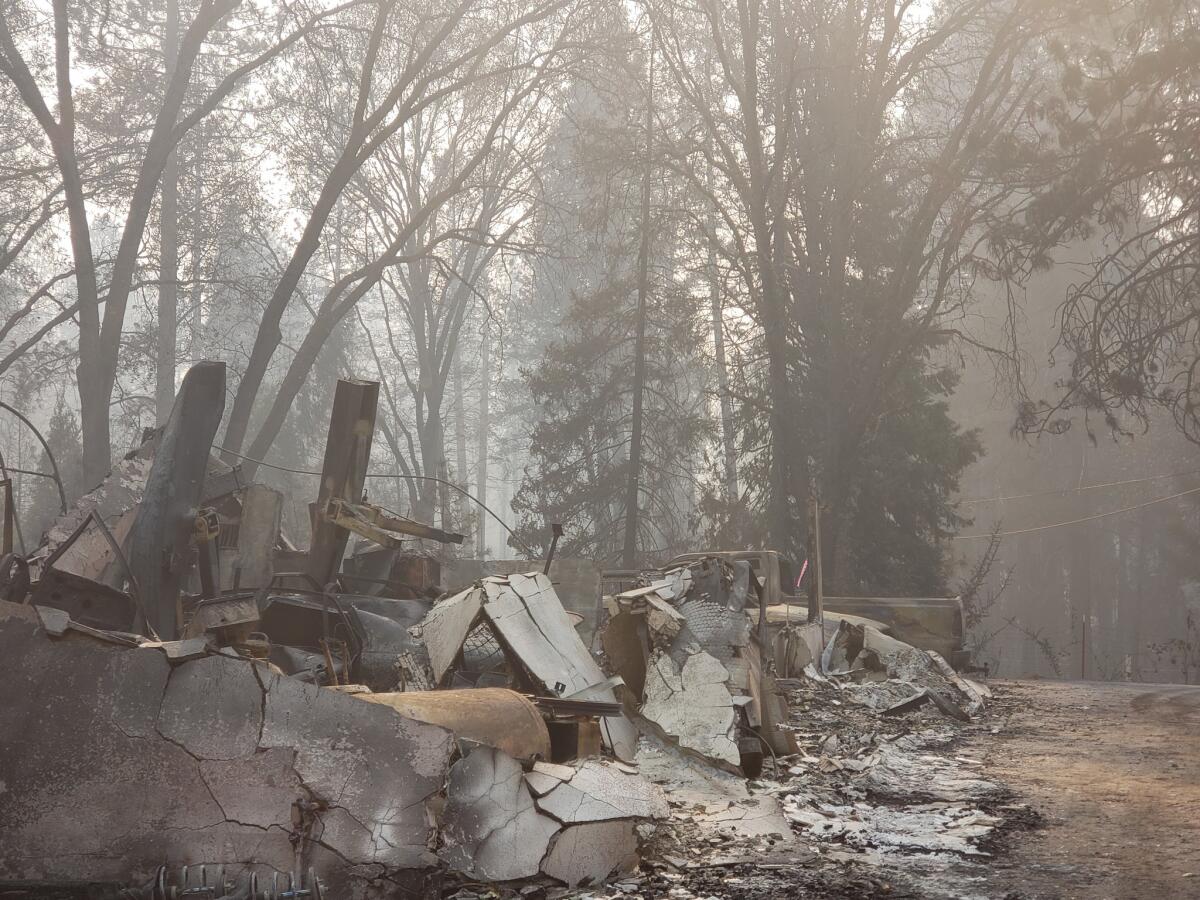
The Camp fire, Hakala said, is the worst fire he’s seen of his career.
“[It’s] the damage and destruction,” he said. “I was at Carr — that was devastating this year — I was at Napa, I was at Thomas, I was at the Mendo and all of those fires had their own genuine feel. But this one in particular is pretty catastrophic. The intensity it came through at … someone mentioned it was eight football fields a minute. That’s crazy.”
Hakala walked around to the front of the building and pointed to the garage. Among the other indications that the building was once a home, that was an obvious one. Inspectors not only note if the buildings are residential or commercial, but how close they are to vegetation, propane tanks, and any other structures.
Every piece fits into the larger conversation about homes in the wildland-urban interface.
He kicked a rock by the front door, and its face fractured and fell to the ground like pieces of slate tile. That’s how intense the heat and fire got on this side of the home.
About 60 feet away, near where the land begins to slope and form the shoulder of the ridge, he pointed out branches halfway up a tree. All the leaves were cooked, intact, and pointing the exact same direction, southwest toward the slope.
It’s what firefighters call a “foliage freeze,” when wind from the firestorm causes green vegetation to point in a singular direction and the searing heat dries and “freezes” it in place.
All around the home, signs of why it burned emerged.
It was surrounded by conifers, Hakala said. Without a doubt, that roof had a layer of dried needles resting on top, perfect kindling to put fire directly onto the home.
“Other than direct flame impingement, it’s more about where the embers are landing,” Hakala said.
Even the most fire-resistant building can be felled by one weakness in the armor. Or, on the contrary, by sheer luck they can remain standing.
Down the road from where Hakala was working, two homes in a wide clearing of brush — one with modern construction and one older — were undamaged. Yet homes nearby with equally cleared land were completely destroyed.
A common thread among all the destroyed homes has yet to reveal itself, Hakala said. There’s more data to crunch.
All investigators know is that much of the damage was caused by flying embers hopping from home to home, starting fires that created more embers to start more fires.
“I’ve learned that basically fire departments are having a hard time fighting the fires. There’s nothing that could’ve been done here except for saving people’s lives and get people out, which was the main goal,” Hakala said. “When you have a fire of this magnitude there’s little you can do from the suppression side to fight that fire. You just get people out.”
The death toll from the fire is 71 and sure to grow. More than 1,000 people were considered unaccounted for as of Friday.
California fire: President Trump arrives in Northern California to assess Camp fire damage

President Trump arrived in Northern California at about 10 a.m. Saturday to tour areas ravaged by the Camp fire.
Trump was met at Beale Air Force Base in Yuba County by Gov. Jerry Brown and Gov.-elect Gavin Newsom.
In a tweet earlier Saturday morning, the president said he would be accompanied by California Reps. Kevin McCarthy, Doug LaMalfa and Ken Calvert and meet with firefighters who battled the 148,000-acre fire.
The Camp fire has been the most deadly and destructive in California history, killing at least 71 people and destroying nearly 10,000 homes.
The White House announced Trump’s visit Thursday. During visits to other natural disaster sites, Trump has focused on meeting with first responders and public officials, and has had less direct contact with victims than his predecessors.
This is the president’s second visit to the nation’s most populous state since his election. His first was in March, when he inspected border wall prototypes in the San Diego area.
California fires: Trump arrives in Northern California to view wildfire devastation
President Trump landed at Beale Air Force Base in Yuba County on Saturday before heading to Butte County to tour the devastation from the Camp fire.
Trump will tour fire-ravaged areas in and around the community of Paradise in Northern California before heading to Southern California in the afternoon. The Camp and Woolsey fires combined have killed more than 70 people, burned more than 250,000 acres and destroyed more than 10,000 structures. More than a thousand people are still reported as missing.
“Many more people are missing than anyone thought possible,” Trump said before departing for California. “I want to be with the firefighters and the FEMA first responders.”
Unhealthful air quality continues this weekend across Northern California
The horrible air quality that has plagued much of Northern California for days will continue this weekend, officials said,
Smoke from the Camp fire in Paradise will continue to flow into the Sacramento Valley and San Francisco Bay Area. A “slight improvement” is possible by the afternoon and evening, according to the National Weather Service.
Since the blaze broke out last week, communities in the Sacramento Valley and Bay Area — including Chico, Oroville and Sacramento — have had some of the dirtiest air in the world, according to Purple Air, an air quality-monitoring network.
Berkeley Earth, a nonprofit that tracks air quality data, said Friday that San Francisco, Stockton and Sacramento ranked as the world’s three most polluted cities, worse than cities in India and China notorious for their poor air.
The hazardous air quality disrupted life for thousands of people in Northern California not directly affected by the fire.
While officials routinely advise that children and seniors living near wildfire zones remain indoors, the air in Northern California this weekend may pose a health danger to all age groups.
Dozens of schools have canceled classes, and public health officials are warning people to avoid the outdoors, especially those with heart or lung diseases and older adults and children.
Firefighters increase containment of Camp fire as winds pick up
Firefighters increased containment of California’s worst wildfire to 55% as of Saturday morning, Cal Fire said.
The Camp fire in Northern California has now burned 148,000 acres, officials said. At least 71 people have died as a result of the blaze, with more than 1,000 still unaccounted for.
About 9,700 homes were destroyed, mostly in the town of Paradise.
Officials said winds are expected to pick up this weekend, causing problems for firefighters. Rain is forecast for next week.
Sifting through the remains of her home

As classes at Oaks Christian School are canceled until after the Thanksgiving holiday, teachers help Seminole Springs mobile home park resident and homeowners association President Paulette Koenig sift through the remains of her home for a treasured
Trump and Brown vow to work together to help California after devastating wildfires
President Trump and Gov. Jerry Brown are pledging the work together to help California in the wake of devastating wildfires, with the president scheduled to tour burn areas Saturday.
Brown and Trump have clashed on numerous policies including immigration and climate change. And Trump was roundly criticized last week for erroneously blaming the fires on poor forest management and threatening to cut off funding to California.
But on Friday, Brown said on Twitter that he and Gov.-elect Gavin Newsom would meet with Trump during his visit.
“Now is the time to pull together for the people of California,” Brown said.
Trump responded on Twitter: “Thank you @JerryBrownGov. Look forward to joining you and @GavinNewsom tomorrow in California. We are with you!”
The Camp fire in Butte County has destroyed more than 12,000 structures and killed at least 71, with more than 1,000 still unaccounted for.
The Woolsey fire in Southern California burned more than 500 structures and left three people dead.
Death toll in Camp fire rises to 71 with more than 1,000 unaccounted for
The death toll from California’s worst fire rose to 71 on Friday, with more than 1,000 people still unaccounted for.
The number of missing rose by nearly 400 since Thursday night. But officials said that there might be duplications on the list and that some of those listed might be alive but simply have not checked in with the people who reported them missing.
The remains of eight additional people were found Friday.
The staggering destruction of the Camp fire continued to worsen, with officials reporting more than 12,000 structures destroyed and 142,000 acres burned. The fire was 50% contained, but officials warned of returning winds over the weekend. There is also a possibility of rain by Wednesday of next week.
It was another challenging day across Butte County. More than 40,000 people remained evacuated. Many have no homes to go back to. The fire has caused terrible air quality in Butte County as well as many other areas of Northern California.
An ashy haze has blanketed many regions, leading to an “unhealthy” air quality index. That means most people who breathe the air there can experience health problems, regardless of age or fitness level, said Jenny Tan, a spokeswoman for the Yolo-Solano Air Quality Management District.
At the same time, some residents were trying to find some sense of normalcy.
The morning fog hadn’t yet burned away in downtown Chico by 9 a.m. Friday when Paradise resident Kathleen Reed got in line outside the post office along with her fellow displaced residents.
Only a few dozen locals were there that early, but everyone said the line was going to get longer as the day stretched on.
“I drove by on my lunch hour yesterday, thought I’d have time and saw hundreds in line and was like, ‘Nuh-uh,’” said Reed, 56, who was there to collect a package for her mother and a week’s worth of mail that had accumulated since the Camp fire destroyed her home Nov. 8.
“I don’t know how they’re going to have P.O. boxes for everyone,” she said.
Horrible air across Northern California keeps many indoors
It was another day of unhealthy air in Northern California as the Paradise fire sent smoke into communities from Sacramento to San Francisco.
Kelly Ash of Sacramento said the biggest impact has been at home.
Ash, the Capitol director for Assembly Rocky Chavez (R-Oceanside), said she’s kept her 19-month-old son and 4-year-old daughter cooped up in the house.
That’s been a little trying, she said, but it’s nothing compared with what everyone directly affected by the wildfires has been going through.
Ash said she and her husband, who is a master sergeant at nearby Beale Air Force Base, bought an air purifier for their Sacramento home as a precaution, she said.
“They’re all inside all day,” said Ash, 35. “They’re going stir crazy, but it’s better than losing your home.”
Berkeley Earth, a nonprofit that tracks air-quality data, said Friday that San Francisco, Stockton and Sacramento ranked as the world’s three most polluted cities.
In a Chico salon, a brief respite from the smoke of California fire

Unrelenting smoke smothers everything in Chico. The acrid and sour-smelling haze hangs on hair, skin and clothes. Some evacuees don’t have access to showers and clean towels, and the smoke from the deadly Camp fire feels impossible to escape.
Hair is like a sponge and absorbs the smoke, said Holly Little, owner of Bleached Salon. The small salon on Manzanita Avenue is one of several offering free hair washes, blowouts and more to evacuees.
At the nail counter, Paradise resident Laina Floraday was getting a free manicure Friday after finding out about the service from a friend.
Floraday fled the Paradise fire, evacuating with her two young children, including one that has special needs, and her three dogs. Her house, her childhood home that she bought, was destroyed. Her husband spent four hours trapped near Pentz Road Market and eventually got out.
“It was traumatizing,” Floraday said.
She swapped stories about the fire and its aftermath with Megan Killingsworth, another Bleached Salon owner. Killingsworth said the salon started offering the services because she and Little felt helpless.
“We don’t have money to give people,” she said. Her phone buzzed with texts from displaced people seeking to book appointments.
Before leaving, Floraday took a free dry hairwash sample and an air mask from the salon.
At JC Penny’s hair salon at the Chico Mall, an elderly woman — an evacuee from the fire — was getting her hair washed Friday in one of the salon’s black chairs. Her head was back, her eyes were closed.
A few hundred people, both men and woman, have come in for the salon’s free hair services since the fire broke out, said Michelle Alconero, assistant manager. She said a bunch of stylists decided to offer the services to evacuees and it wasn’t a corporate decision.
“It’s a moment to be normal,” Alconero said. “There’s a lot of stress.”
Face masks used as protection from Camp fire smoke are unnecessary and could be harmful, health official warns

Sacramento fire stations no longer will distribute masks to the public after safety concerns were raised by the county, officials said.
Peter Beilenson, the county’s Department of Health Services director, said the county decided to stop handing out the masks because they aren’t necessary and are potentially harmful. About 67,000 free N95 respirators have been distributed at fire stations across the region.
Rather than relying on the masks, Beilenson said the county is urging people to stay indoors — a much more effective solution to the unhealthy air quality caused by smoke from the Camp fire.
An ashy haze has blanketed many parts of Northern California, leading to an “unhealthy” air quality index. That means most people who breathe the air there can experience health problems, regardless of age or fitness level, said Jenny Tan, a spokeswoman for the Yolo-Solano Air Quality Management District.
Several Bay Area and Sacramento area schools have closed because of poor air quality from the Camp fire’s smoke, including UC Berkeley, Mills College, Stanford University, the University of the Pacific, Cal State East Bay and Sacramento State University.
When UC Davis announced it was closing its campus because of smoke, it offered students a limited amount of face masks.
The city of Sacramento said in a statement that staff will continue distributing its remaining N95 masks.
Beilenson said the masks don’t fit children and men with beards, and can be dangerous for those with heart and respiratory diseases. The masks can make it more difficult to breathe because of carbon dioxide buildup, he said.
“Thats a good 50 plus of the population that couldn’t benefit from them,” he said.
Though some healthy adults could benefit from wearing them, the face masks offer too much of a false sense of security and they would need to be fitted specifically for each person, Beilenson said.
“I saw a young woman was wearing an N95 mask and running full speed through a park— again, a false sense of security,” he said.
Workers who need to be outside for extended periods of time are the only ones who really benefit from the masks, and the Occupational Safety and Health Administration already requires those employees to wear them, Beilenson said.
“By far the most important thing for anyone across the age spectrum and health condition spectrum is not to go outdoors, and if you need to, make it short and don’t exert yourself,” he said. “Bottom line.”
The county’s decision comes even after the state’s Office of Emergency Services recommended the masks earlier this week. Cal OES said the masks are the same ones worn by firefighters and healthcare workers and can protect lungs from harmful particles in wildfire smoke, so wearers can “breathe easy.”
-------
1:44 p.m.: This article was updated to include statements from Peter Beilenson.
This article was originally published at 11:45 a.m.
The Big Game between Stanford and Cal postponed to Dec. 1 due to poor air quality

The Big Game, the annual football showdown between Stanford and California, has been rescheduled from Saturday because of poor air quality from wildfires in Northern California.
Cal announced Friday that the game would be rescheduled to Dec. 1 at noon in Berkeley’s California Memorial Stadium. The teams were supposed to face off Saturday at 4:30 p.m.
The Pac-12 conference and the universities came to the decision “after extensive consultation with campus medical and environmental experts,” according to a Cal statement.
Officials had planned to wait until Saturday to make a decision, but “current air quality conditions provided by the Bay Area Air Quality Management District, and forecasts for the weekend are indicating that Air Quality Index (AQI) levels are unlikely to sufficiently improve by Saturday afternoon,” according to the statement released just after noon Friday.
UC Davis officials, who are also monitoring air quality to determine whether the Aggies could play their annual rivalry game against Sacramento State on Saturday, announced Friday that the game will be played as scheduled — but at Mackay Stadium in Reno.
Cal canceled its basketball game against Detroit Mercy on Thursday night because the air quality index was well over 200 — the threshold for the very unhealthy range — after a significant amount of smoke infiltrated Haas Pavilion.
UPDATES:
1:11 p.m.: This post was updated to reflect the changes in the Cal and UC Davis games.
This post was originally published at 11:41 a.m.
The Associated Press contributed to this report.
California fire: Camp fire’s air-quality threat spreads to people hundreds of miles away
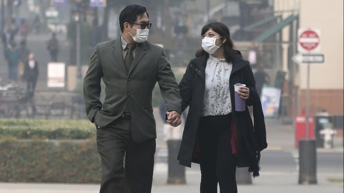
Smoke from the Camp fire — California’s deadliest wildfire — has poured into areas hundreds of miles away, including the Sacramento Valley, Chico and the Bay Area, filling the sky with dangerous particles, grayish hues and a bitter odor, and dropping temperatures as much as 10 degrees because the haze is blotting out the sun.
It also has led to dangerous and unhealthy air quality.
Since the blaze broke out last week, communities in the Sacramento Valley and the Bay Area — including Chico, Oroville and Sacramento — have had some of the dirtiest air in the world, according to Purple Air, an air-quality monitoring network. That means the air in those areas is considered unhealthy for everyone.
Dozens of schools have canceled classes, and public health officials are warning people to avoid the outdoors, especially those with heart or lung diseases and older adults and children.
Evacuation orders for the Topanga area have been lifted
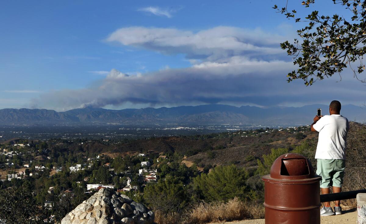
Topanga residents who fled the Woolsey fire can return to their homes, officials announced Friday.
Evacuation orders were lifted for the Topanga area from Pacific Coast Highway to Mulholland Drive and all areas north of the Malibu city limits, the Los Angeles County Sheriff’s Department said.
Las Virgenes Road will remain closed at Mulholland Highway, and no access will be given to areas south of Mulholland Highway to the Hindu Temple or the Las Virgenes Canyon Road neighborhood, the Sheriff’s Department said.
Residents of the Piuma Canyon area will be required to go through Cold Canyon Road or to the eastern entrance of Piuma Canyon Road, instead of Malibu Canyon Road. Vehicles won’t be allowed to exit westbound Piuma Road to Malibu Canyon Road, officials said.
For California fire victims, it will be a long, tough road to rebuild
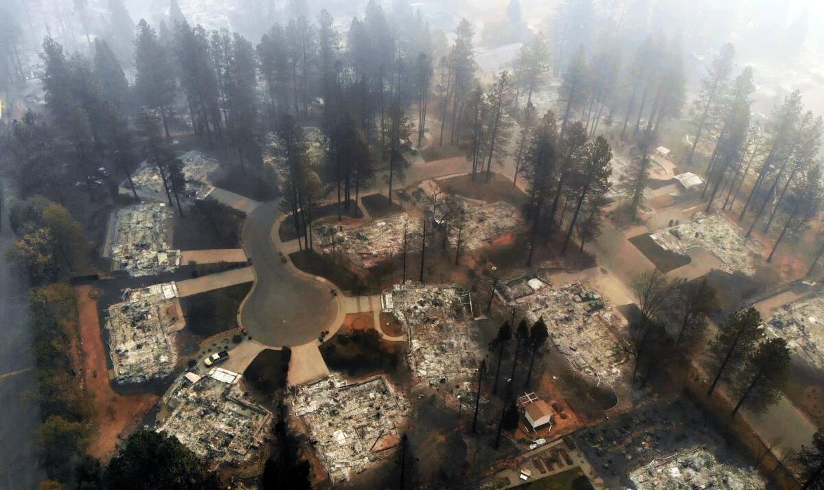
The fires that tore through California in the last week have reduced homes to ash, upending lives and leaving thousands in sudden need of shelter. But beyond the immediate challenges of finding a place to live in a state with a perpetual shortage of housing, property owners could face a number of challenges in trying to rebuild.
Construction workers are in short supply. The costs of some materials are rising, thanks in part to President Trump’s trade war.
“The individual homeowner just has a nightmare ahead,” said John Mulville, Southern California regional director for real estate research firm Metrostudy.
In all, the still-burning fires in Northern and Southern California have destroyed more than 12,800 structures, swelling shelters and raising questions about whether it’s smart to rebuild in areas prone to wildfires.
Any loss of housing is a hit in a state that’s seen the cost of living soar. By some estimates, developers need to double the amount of homes they build each year just to stabilize housing costs.
California fire: Camp fire evacuees line up for hours to get mail, paychecks
The morning fog hadn’t yet burned away in downtown Chico when Paradise resident Kathleen Reed got in line outside the post office along with her fellow displaced residents.
Only a few dozen locals were there that early, around 9 a.m. Friday, but everyone said the line was going to get longer as the day stretched on.
“I drove by on my lunch hour yesterday, thought I’d have time and saw hundreds in line and was like, ‘Nuh-uh,’” said Reed, 56, who was there to collect a package for her mother and a week’s worth of mail that had accumulated since the Camp fire destroyed her home Nov. 8.
“I don’t know how they’re going to have P.O. boxes for everyone,” she said.
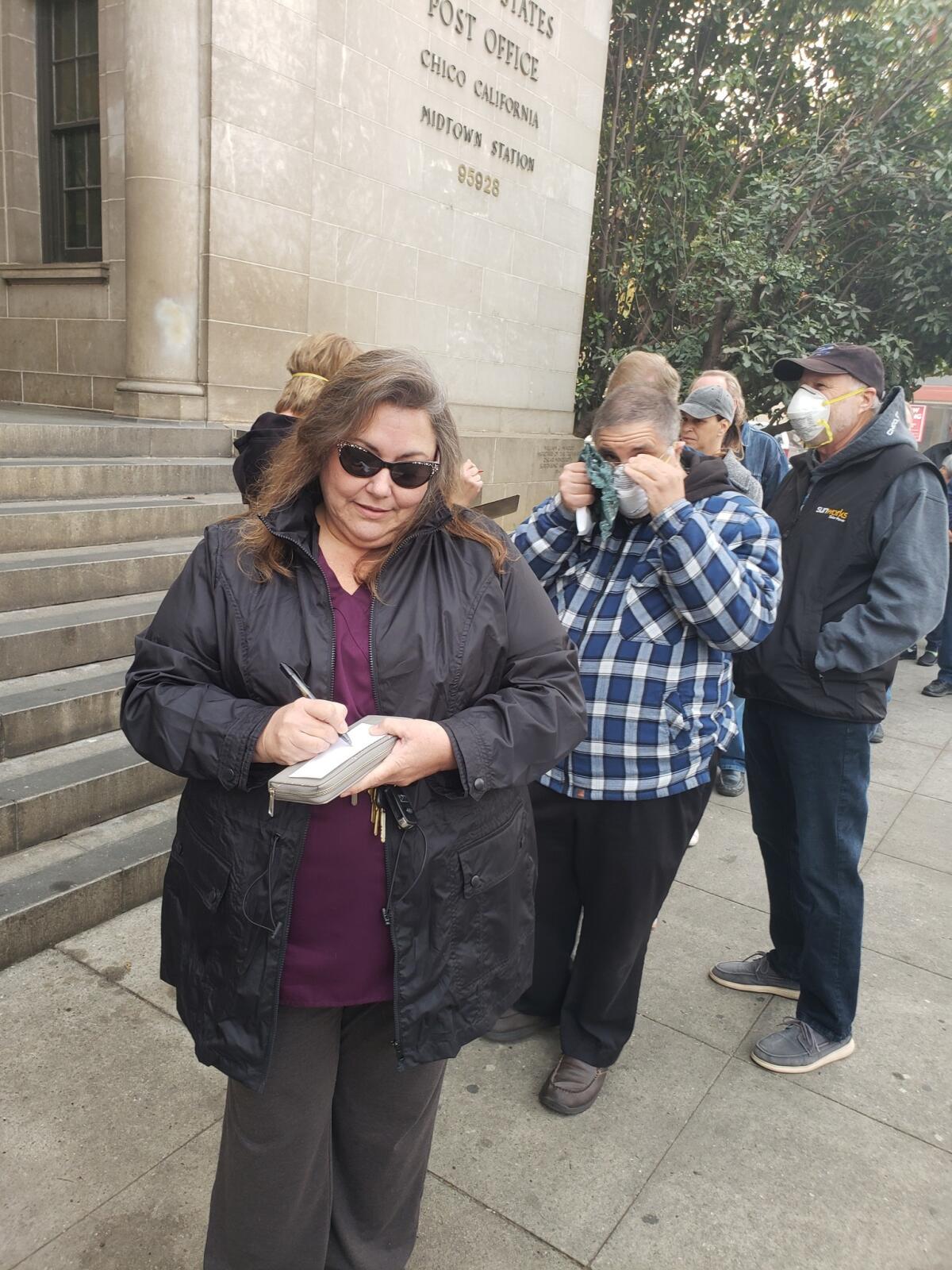
Reed’s home was one of at least 9,700 destroyed in the first hours of the blaze. She lost pretty much everything but her family. No photo albums made it; a cookbook of family recipes is gone forever.
Despite it all, she’s trying to keep a positive outlook, she said. She had fire insurance, which many residents in the foothill community say puts her in a much better position to recover than most.
“Every single day, I seem to be getting happier. It’s just stuff. Yes, it’s wedding photos and recipes. But it’s just photos and recipes. I’m alive,” she said.
Reed’s adult daughter and her kids survived too — but barely, Reed said. They were trying to run from their burning neighborhood when a fire truck towing a bulldozer that was driving by picked them up as flames wrapped around the road.
“The firefighters told her to put her kids in the bulldozer and then lie on top of them. If a tree fell on them, the bulldozer would protect them,” Reed recalled.
Since the fire, she’s been holed up with 10 other relatives nearby.
“It’s 11 people. Seven dogs. Four reptiles. All I need is a partridge, and I’ll have a Christmas song,” she joked.
Since the fire, companies expecting bill payments have been accommodating, residents said. But there’s a greater sense of urgency for the other side of that coin — paychecks for those who lost everything.
That’s why Tim Bolin, 59, and his wife were in line. As executive pastor for Paradise Alliance Church, he’s responsible for the payroll. Sixteen of his 21 employees lost their homes and are “scattered all over, from 100 miles north to 100 miles south,” he said. Another employee’s home was looted.
“There’s checks that have come in. There’s some bills that have to get paid. I hope people are patient,” he said.
Earlier this week, a sheriff’s deputy escorted Bolin to the church so he could recover computers, servers and documents. He was relieved to find the building standing after seeing photos of a wall of fire approaching and hearing residents say they saw it on fire. The front plants were charred, but the property survived, Bolin said.
Investigators say they’ve ruled out all possible causes for Hill fire except human activity
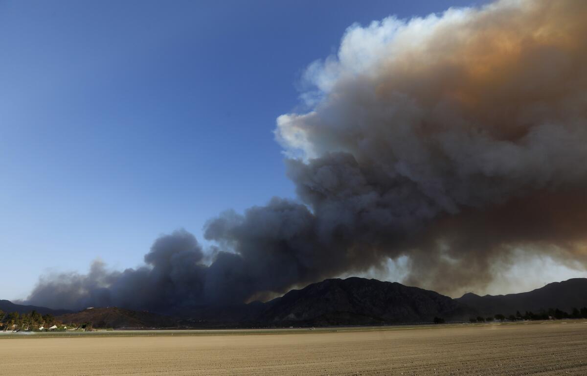
Officials investigating the Hill fire said Friday morning they’ve ruled out all potential causes other than human activity.
The blaze burned 4,531 acres before being 100% contained Friday, according to the California Department of Forestry and Fire Protection.
Officials are asking people who were in the area of Hill Canyon Trail between 10 a.m. and 3 p.m. on Nov. 8 and may have information about the fire to call Cal Fire’s tip line at (800) 468-4408.
”A reward of $10,000 is available for information leading to a possible responsible party,” Cal Fire said.
Here are resources for California fire victims and the best ways to contribute
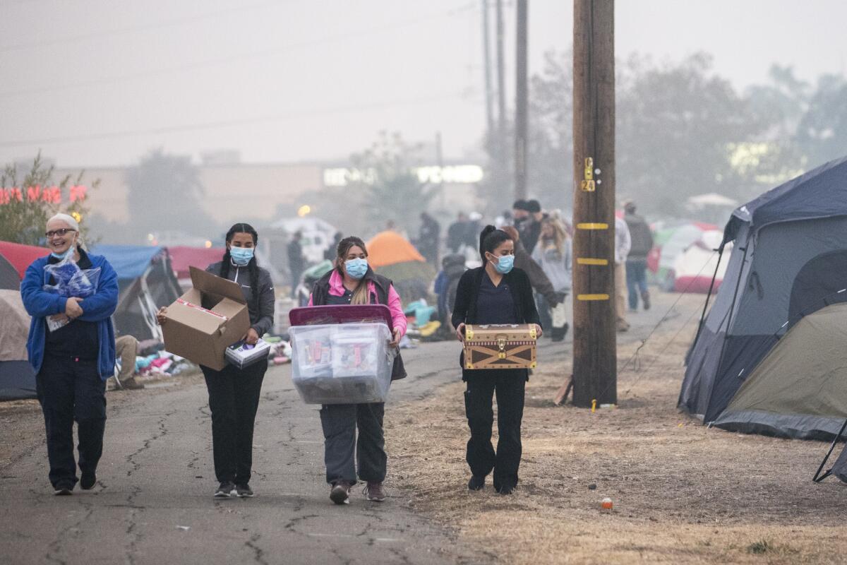
With hundreds of people still missing, and hundreds of thousands displaced across California because of the recent fires, many outside the burn zones may be looking to donate time, money or space. Here are some options:
Officials in Butte County, where the Camp fire swept through last week and claimed at least 63 lives, is asking that people donate money rather than goods. The county is directing people to United Way of Northern California, both to donate and to apply for emergency funds.
For shelter: People can offer and seek “free, temporary housing” on Airbnb’s disaster relief page.
Local assistance centers: Butte County has opened an assistance center for Camp fire victims at Chico Mall and Ventura County set up a local assistance center at the Thousand Oaks Grant R. Brimhall Library.
Ventura County has a recovery website for the Hill and Woolsey fires. It also asks people to donate to the Ventura County Community Foundation.
A number of Southern California businesses are offering free dental, pet bathing and salong services and clothing to Woolsey fire victims and first responders.
Mental health: Anyone who needs immediate mental health counseling is urged to call or text the Disaster Distress Helpline, a federal hotline maintained by the Department of Health and Human Services.
There are also local, in-person mental health resources in Butte County
Animal care: Those who need help with animals in Butte County can contact the North Valley Animal Disaster Group. The organization also is accepting donations.
Those affected by the fires also can apply for federal disaster assistance through FEMA.
Firefighters extinguish flames in Hollywood Hills

California fire: Hollywood Hills brush fire
Firefighters extinguished a brush fire near a home in the Hollywood Hills, officials said Friday morning.
The fire broke out just before 7 a.m. on 1449 North Crescent Heights Boulevard and grew to be a quarter of an acre, said Amy Bastman, a spokeswoman with the Los Angeles Fire Department.
A crew of 75 firefighters and water dropping helicopters were deployed to protect the threatened structure. The flames were extinguished in less than an hour.
No Evacuations were ordered and no injuries were reported, LAFD said.
------
8:20 a.m.: This article was updated with the fire being extinguished.
This article was originally published at 7:34 a.m.
Worsening air quality in the Bay Area prompts local schools to close
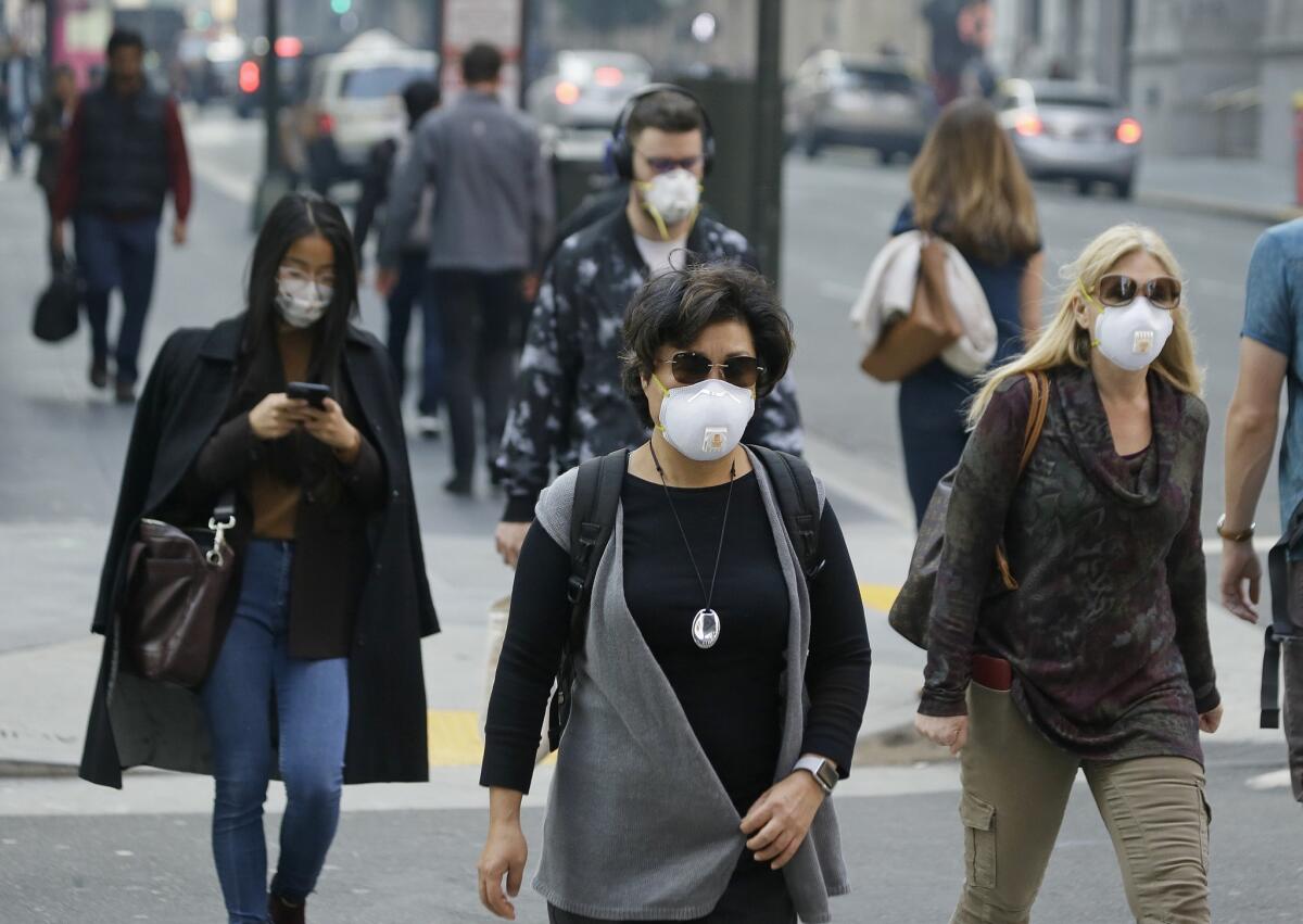
Several Bay Area school districts and colleges canceled classes Friday amid worsening air quality caused by fires burning in the region.
UC Berkeley, Mills College, Stanford University, the University of the Pacific and the Berkeley and Oakland unified school districts all canceled classes on Friday.
The largest of the blazes in the area — the Camp fire — has charred 142,000 acres in Butte County in just over a week. The deadly fire has poured smoke into the region, pushing the air quality in San Francisco and San Rafael into the very unhealthy zone on the Environmental Protection Agency’s index.
This means people with heart or lung disease, older adults and children should avoid all physical activity outdoors. Everyone else should avoid prolonged or heavy exertion.
Air quality in Santa Rosa, Oakland and San Jose is listed as unhealthy on the index, meaning people with heart or lung disease, older adults and children should avoid heavy exertion while others should reduce their activity.
Horrible air quality expected to continue through weekend in Northern California
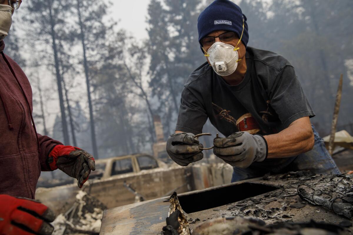
The National Weather Service said Northern California can expect more horrible air days this weekend due to smoke from the Paradise fire.
Dangerous air quality has afflicted the Sacramento Valley and the Bay Area all week, causing widespread misery as dozens of schools canceled classes and public health officials urged residents to stay inside.
“Strong inversions and relatively light winds will allow wildfire smoke to continue to impact interior Norcal this weekend. Many locations especially in the Sacramento and northern San Joaquin valley will see unhealthy air through the weekend,” the NWS said Friday.
Since the blaze broke out last week, about 100 miles north of the capital, smoke has been pouring into the region, pushing the air quality into the unhealthy zone on the Environmental Protection Agency’s index. That means people with heart or lung diseases, older adults and children should avoid prolonged or heavy exertion outside, while everyone else should reduce outdoor activities.
More on the bad air here.
Dramatic interactive mapping shows growth, destruction of Paradise fire
The Camp fire swept into Paradise and destroyed thousands of buildings, wiping out much of the town.
Here are some maps that show the dramatic level of destruction.
The maps show the progression of the fire, the homes that burned and other data.
Paradise vows to rebuild even as death toll and number of missing rises
The death toll from the devastating Camp fire in Northern California rose to 63 Thursday, while the number of people reported missing jumped dramatically to 631, authorities said.
Butte County Sheriff Kory Honea told reporters that search crews recovered seven more bodies in the burn area: three in Magalia, three in Paradise and one in Concow.
More than 9,800 homes destroyed in devastating Camp fire as firefighters slowly boost containment
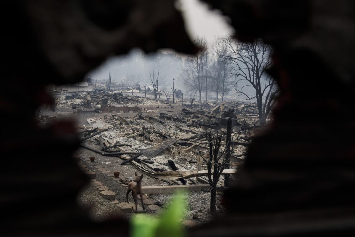
Firefighters battling the Camp fire in Northern California boosted containment of the massive blaze overnight to 45%, though the inferno continued to expand its footprint.
The blaze has charred 142,000 acres in Butte County as of Friday morning, according to California Department of Forestry and Fire Protection officials.
The blaze, which is the deadliest and most destructive in California history, has killed at least 63 people and destroyed more than 9,800 homes in more than a week. The number of people missing in the fire jumped Thursday to 631.
Firefighters worked overnight to continue to suppress the blaze and improve containment lines. However, portions of the fire are burning in steep and rugged terrain that can be difficult for fire crews to access.
Woolsey fire 69% contained as tally of lost structures continues to climb; Hill fire 100% contained
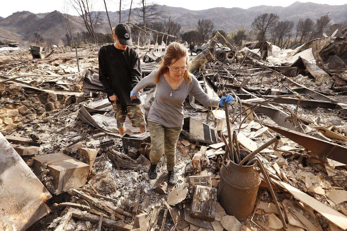
The number of structures destroyed in the massive Woolsey fire climbed to 616 on Friday as firefighters continued to make progress in controlling the blaze overnight.
The fire’s footprint, which has not grown since late Wednesday, is at 98,362 acres and firefighters increased containment to 69% overnight, California Department of Forestry and Fire Protection officials said Friday.
Calmer conditions Thursday after strong winds battered the region and fanned the flames for three consecutive days gave crews a welcome opening. Officials said Thursday would be a turning point in the fight.
The remains of three people have been found among the fire’s ruins of the fire.
Meanwhile, the Hill fire, which has burned 4,531 acres of Ventura County, was 100% contained as of Friday.
Photos from the Camp fire’s devastation in Paradise
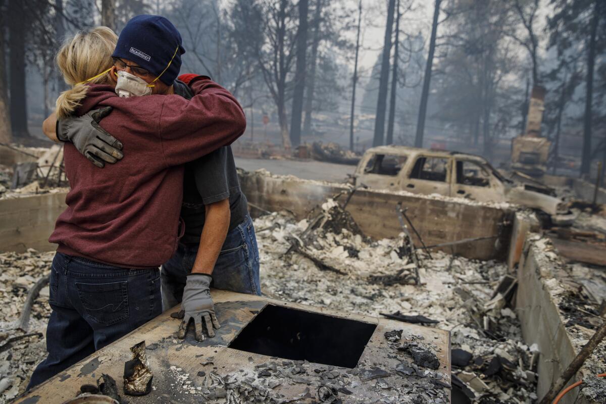
Camp fire death toll climbs to 63; number of missing jumps to 631
The death toll from the devastating Camp fire jumped to 63 on Thursday as search crews recovered seven more bodies in the burn area.
The number of people unaccounted for jumped dramatically to 631 people, up from 130 on Wednesday evening.
Butte County Sheriff Kory Honea told reporters that crews found three bodies in Magalia, three in Paradise and one in Concow. One body in Paradise was found in a car that had been flipped on its side.
The blaze has scorched 141,000 acres and destroyed 11,862 structures. It was 40% contained as of Wednesday evening.
The Camp fire is now by far the worst in California history, destroying an entire town in a matter of hours.
Officials said it could take weeks to complete the search for victims.
Thousands of survivors are without homes and living in shelters and tent cities.
The fire also is causing a major public health problem as smoke chokes huge swaths of Northern California, including Sacramento and the Bay Area.
It has pushed the region’s air quality into the unhealthy zone on the Environmental Protection Agency’s index. Many schools have been closed.
Nightmarish air quality in Sacramento as smoke from Camp fire brings misery
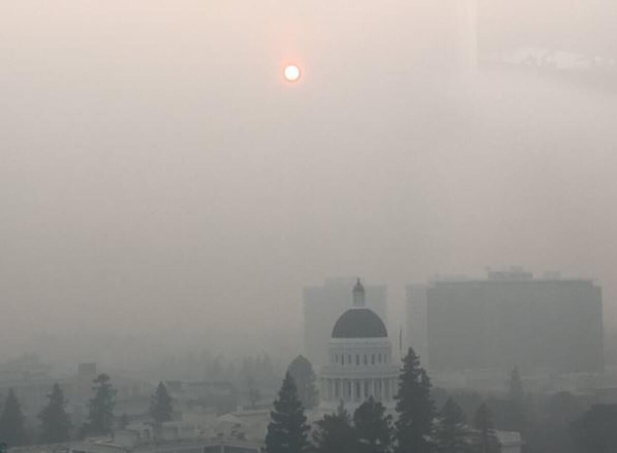
Air quality in the Sacramento Valley remained grim Thursday because of smoke from the massive Camp fire.
Smoke has been pouring into the Sacramento area since the blaze in Paradise, Calif., north of the capital, began. It has pushed the region’s air quality into the unhealthy zone on the Environmental Protection Agency’s index.
That means people with heart or lung disease, older adults and children should avoid prolonged or heavy exertion outside, while everyone else should reduce outdoor activities.
Son struggles to get supplies to his family stuck in Malibu evacuation zone
Residents waited along the road, their trucks and SUVs parked in the dirt near the hillside. The faint smell of smoke lingered in the air.
Ali Reza Ahmadian, 34, was trying to get supplies to his father and sister, who live across the street from Zuma Beach. The downtown Los Angeles resident had been able to get food and water to his dad this week, but he couldn’t get through Thursday.
“They were letting people with local driver’s licenses in,” he said. “Then they had escorts. Now it’s a hard shutdown.”
His father’s house was in a mandatory evacuation area, but the family stayed because they though its proximity to the beach made it safe.
Among the supplies Ahmadian purchased were an extension cord, water and “an exorbitant amount of bananas” that his father wanted to hand out to neighbors. The generator that had kept power on at the house recently failed, Ahmadian added. He bought tools to fix that as well.
As he spoke, a disgruntled resident walked up and handed him a pamphlet.
“RESIDENTS!” it read. “Make calls to get evacuations lifted.”
The flier listed talking points for people to take up with elected officials, including the governor’s office and the Malibu mayor’s office.
After Trump eruption, bipartisanship reigns as Brown and Zinke emphasize cooperation on fire recovery
Bipartisanship reigned Thursday as Gov. Jerry Brown and Trump administration officials toured the devastation in the Woolsey fire zone and officials prepared for President Trump’s visit to Paradise, Calif., on Saturday.
A few days ago, the president was criticized for a recent tweet that incorrectly stated the fires were the result of poor forest management. The tweet also threatened to cut off funding to California. Trump since has spoken to Brown, saying he was “completely behind California.”
Brown met with U.S. Interior Secretary Ryan Zinke and state fire officials in Camarillo.
Zinke and Brown had toured the scene of the Camp fire that devastated Paradise in Northern California on Wednesday.
At a news conference, Zinke and Brown pledged to work together to help those recovering from the state’s fire siege.
“This is my fourth time to California, all of which have been fires,” Zinke said. “And every time I come back, I say this is the worst fire I’ve seen. Yesterday is the worst fire I’ve seen.
“Paradise unfortunately likely will not be the same city.”
In light of the large-scale fires that have devastated California communities in recent years, Brown emphasized the importance of designing safer cities to mitigate the effects of climate change.
“There are fires and there are going to be more fires,” Brown said. “California is a rich state, but we have to take intelligent precautions with how we design our cities.”
Zinke suggested the importance of prescribed burns and removing dead trees in order to make sure fuel supplies are reduced.
Zinke introduced Brown on Thursday: “Despite the rumors, we get along. We talk a lot. We talked a lot before this incident. We talk on water. We talk on fires. We talk on forest management. We even talk about his dog Colusa.”
Brown added, “We are truly working together to serve our people.”
“President Trump told me that they will do everything possible to help California in its time of need,” Brown said. “I think we are on the right path right now and we are all going to work together.”
Thunder, Luke and Gidget – the animals in L.A. Times photo at Zuma Beach – are doing just fine
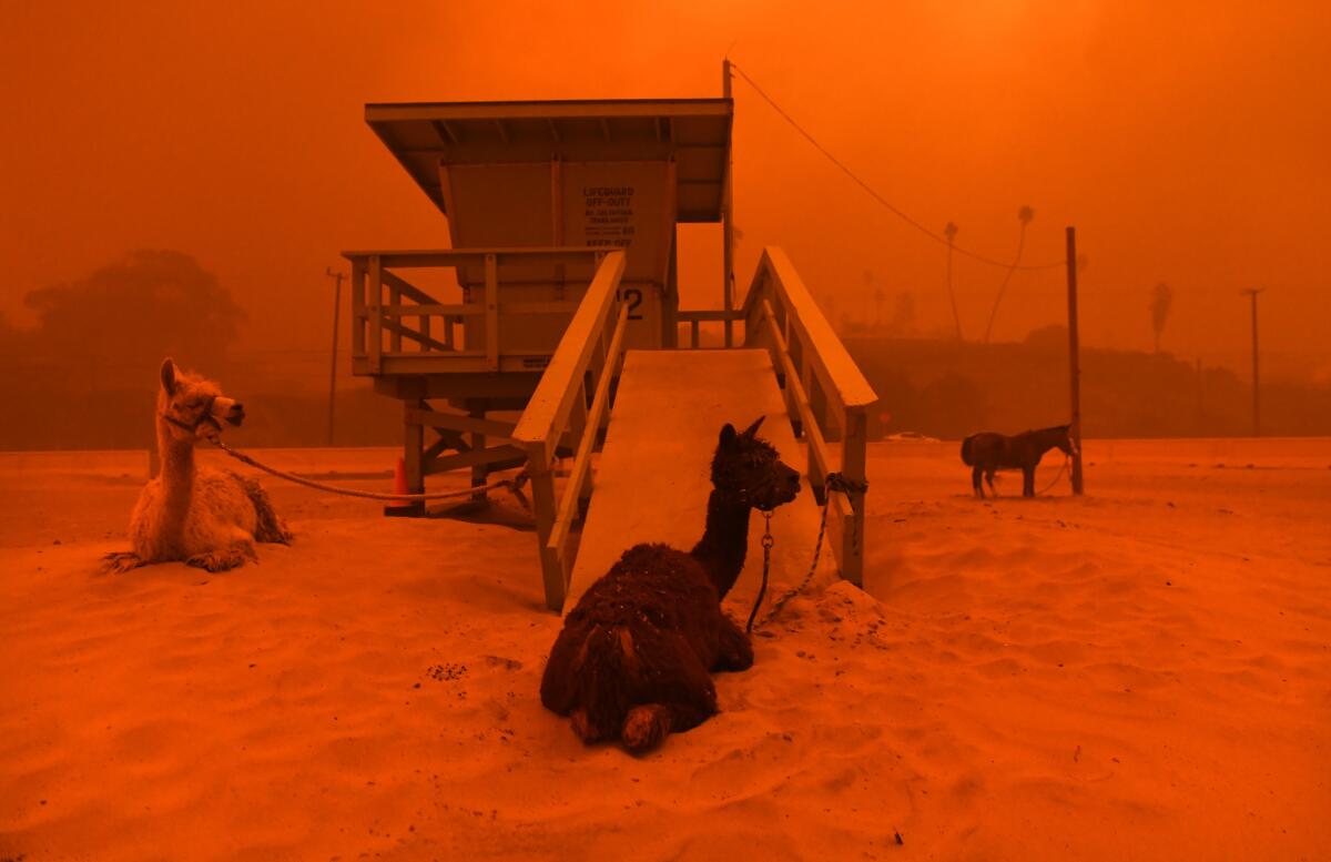
When Phoebe Scott saw Thunder, Luke and Gidget in a Los Angeles Times photograph last week, she was alarmed by the image’s apocalyptic and bleak appearance.
It didn’t look like that, she said, when she left the two alpacas and horse at Zuma Beach to find shelter for other animals, including five goats waiting for her in her Mini Cooper.
Scott, a board member for the nonprofit Big Heart Ranch, immediately began thinking about how she could use the photo to locate the alpacas and horse, just three of the 66 therapy animals evacuated Friday from the Malibu property.
She thought the photo couldn’t have been snapped much longer after she had left because she had taken a photograph on her phone of a distressed owl on the sandy beach. It appeared to be the same owl that Los Angeles Times photographer Wally Skalij snapped just an hour before finding the alpacas tied to the lifeguard stand.
Skalij said he was drawn to the area when he saw horses on the beach, and then the unusual sight of the owl.
“It was surreal,” he said. “It looked like a scene from Noah’s ark.”
Thunder, Luke and Gidget were meant to be on a trailer headed to a safe location, but they ended up at the animal evacuation zone on Zuma Beach because the trailers were blocked from entering Big Heart Ranch, Scott said. She walked along the beach, asking anyone with a trailer to help her transport the animals.
“It felt like a really long time we were trying to locate them, but it was actually only a matter of hours,” she said.

She found someone with a trailer and left the animals with a caretaker while she drove the other animals to a safe haven.
The alpacas and the horse were never left alone, she said. But after she left, she didn’t know where they ended up because poor cellphone reception made it impossible to get in touch with the caretaker and volunteers watching over the animal trio.
“It was chaos,” she said.
Scott would contact the photographer, she decided, and figure out when the photo was taken and who could have been at the beach at that time. Before long, friends, strangers and Big Heart Ranch donors saw Skalij’s haunting photo and beat her to it.
Her phone was flooded with text messages, voicemails and notifications as people shared the image in hopes of locating animals they thought were missing. The image was even being used by other animal rescue organizations for fundraising.
“People were so concerned,” she said. “People do share some things too quickly, and misinformation gets spread, but their hearts are good.”
Scott said she wanted people to know the animals are doing well but the ranch needs help.
“Thunder and Luke are on a lovely piece of property up in Ojai, and Gidget is in Glendale’s Silver Spur Stables,” she said.
Half of Big Heart Ranch’s property and the animals’ caretaker’s home were destroyed. It’s a miracle, she said, that all 66 animals — including the guinea pigs — are safe. Because the organization is supported entirely by donations, it will take time to raise the money to rebuild, Scott said.
Tent city evacuees told they must move on after Camp fire
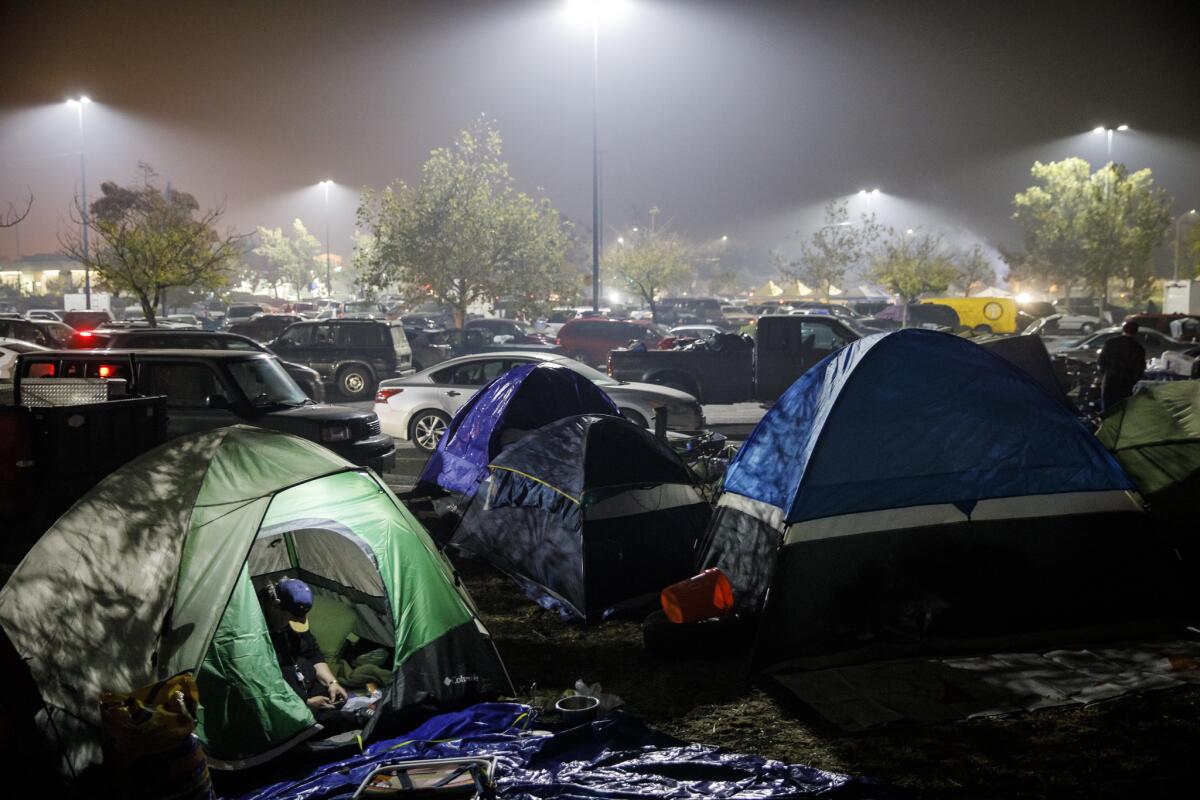
Debby Barbero of Chico is among the volunteers who have been coordinating donations and helping fire evacuees settle in in a tent city that has sprung up in a Walmart parking lot.
Barbero said there already was a homeless problem in Chico before so many displaced residents arrived, and it will only get worse.
“Rain is coming, and these people need a shelter over their heads,” she said.
As a group, the volunteers helping run the makeshift shelter decided it needed to shut down and said that everyone should move out by 1 p.m. Sunday. In the meantime, they are trying to help people find other places to stay.
“This is unsustainable right now,” Barbero said, adding that it has been difficult to find shelter space for evacuees.
“They have a business here,” she said, pointing to the Walmart. “The police are not happy.”
Out of 15 girls and two coaches, only one person on this Paradise High School basketball team still has a home

The Paradise High Bobcats began trickling into the Chico High School gym a little before 9 a.m. Thursday for their first basketball practice since the Camp fire razed their hometown.
Out of 15 girls and two coaches, only one had a house that was still standing.
Sheila Craft, the Bobcats varsity coach, was explaining the situation to Gina Snider, her Chico High counterpart. But first there was a very long hug, and some tears.
“We don’t know what it’s going to look like,” said Craft, whose house is gone. “We don’t know what school’s going to look like. But we’re sure going to try to have a season.”
Basketballs echoed in the cavernous gym, as the girls dribbled down the shiny wooden court. Well-aimed balls swished through the nets. There were happy cries and swinging ponytails and somehow the girls were able to ignore the swirling ash outside, the cement-colored sky, the salmon-colored disc of a smoke-tinged sun.
“We’re staying at a cousin’s house in Chico,” Tessa Lawrie told junior varsity coach Michaella Gonzales. Lawrie, who is 47, has lost her home in Paradise. Her 15-year-old daughter is running down the court. Gonzales, 28, teaches at Paradise Elementary School. Her campus and her Magalia home have burned to the ground.
“We’re staying there with my mom and stepdad,” Lawrie continued. “They lost their house as well. One big happy family having a slumber party. We’ve had 10 every night for the last week. Along with three cats, two dogs, a hamster, a rabbit.”
The fish tank didn’t make it out.
“We have to keep smiling and going through the motions,” Lawrie said. “We’re thankful we’re alive. Thankful that we got out and we have our kids. They need some sort of normalcy right now. Their whole world has been turned upside down. Most of them couldn’t grab anything. They were at school. They have the clothes on their backs.”
Anne Stearns, PHS’s athletic director, arrived. She was one of the lucky ones. She lives in Chico and still has a house. She talked about survivor guilt and about the haven she can offer the athletes who have no place to stay. Most nights there are at least 10, an ever-changing cast of couch-surfing high schoolers.
“I have 200 athletes [at PHS]” Stearns said. “I know of five who have houses standing. Of those five, you think about it, do they really have homes? Homes in a landscape of just barren...” She paused. “Ash. What kind of a house is that?”
Stearns talked about a volleyball player who’s been wearing the same clothes for the past six days, laundering them occasionally in Stearns’ washing machine. The girl has a house. And feels terrible about it.
“She’s wearing flip flops,” Stearns said. Sure, she has a house, but she can’t get to it or any of her belongings because authorities are still looking for remains and putting out spot fires. “We’re giving shoes [to] everyone. She says, ‘I don’t need anything.’”
The overnight low is in the 30s in Chico. And all she has on her feet are flip-flops.
By 9:30 a.m., Craft called a team meeting before practice could begin in earnest. The girls sat at the edge of the court, faces raised, expectant. A clutch of parents stood at the edges of the group. The good news: Of the three women’s basketball teams at Paradise High — varsity, junior varsity and freshman — all the players have been accounted for. No one knows when they’ll be in class together again. There’s been a Paradise diaspora.
Still.
“We will have a basketball team,” Craft said. “We will have games as long as everybody is wanting to stay and play. Parents, don’t worry about transportation. We have so many teachers who don’t have work. They’ll drive you.”
She talked about logistics, when there will be practices, how to get information and transportation and clothes. When the first game will be, Nov. 27 against Lassen High in Susanville.
Every game this season will be an away game. Even if it’s supposed to be a home game. Paradise High is still standing. But there’s not much else left in the town of 26,000 or so.
Still.
“The season is not about winning anything, doing anything great,” Craft said. “It’s about us staying together. We can’t lose a whole season of learning.”
She teared up.
“Our goal for basketball is to love basketball. If you love basketball, you’re really going to love it. For right now, this is about what we have.”
Nino Pinocchio, former football coach at Paradise High and Butte College, echoed Craft’s sentiment. His daughter, Jasmine, 15, is at practice with a broken toe. It doesn’t matter. She’s still there.
“You are bringing smiles to people’s faces,” he said. “Go out there. Work hard. Get better. That’s what the community needs us to do.”
And then there’s a kind of Cinderella moment in the midst of all the devastation.
Rheann Colwell, a 16-year-old junior, came to practice in black jeans, a black T-shirt and sandals. Her home in Paradise is a pile of ash. What clothes she could grab before evacuating were in Weaverville, at her grandparents’ house.
She raised her hand at the end of the meeting. She needed shoes.
Craft kicked off her black slip-ons. They were size 9.5, too big. Snider handed over her red Chuck Taylor All Stars. Size 7.5, too small. Kylee Weinbarger, 15, ran to her bag and returned with another pair of well-worn Chucks.
These were white, well, sort of white, size 8.5, a perfect fit.
Practice began.
Trump plans to visit California fire devastation
President Trump plans to visit California on Saturday “to meet with individuals impacted by the wildfires,” a White House spokeswoman said Thursday.
His visit will come a week after he was roundly criticized for erroneous comments he made about the causes of the California fires and for threatening to cut off funding.
‘Nobody knows what’s happening:’ Residents wait for power, information as they make their way back home
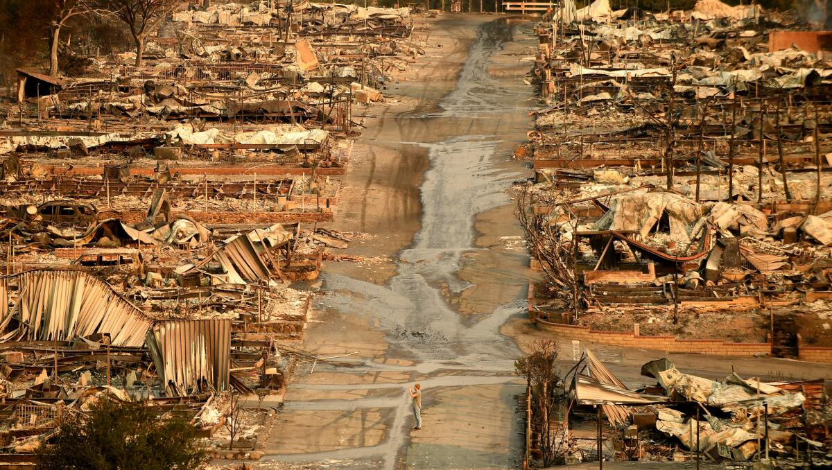
Randy Couch stood on the side of Kanan Road on Thursday morning, his cellphone on speaker mode as he waited. He had been on hold with Southern California Edison for 20 minutes, trying to get information about when power would return to his home.
Couch, who has been a resident of the Seminole Springs Mobile Home Park in Agoura Hills since 1981, lives along a creek that cuts through the park in a private cul-de-sac. The homes on his side of the creek — the one closer to Mulholland Highway — were spared by the Woolsey fire, he said. His brother’s home survived too.
But most of the houses on the other side burned, the electrical contractor said, adding that 101 of his 215 neighbors had lost everything.
Couch’s home has been powered by a generator since the electricity went out. He’s been able to cook and do laundry. But the area has no cellphone reception, so he has to leave to make any calls.
Couch and his wife evacuated at 3 a.m. Friday and hopped from park to park in his RV until landing in the parking lot of a Home Depot in West Hills.
He sneaked back into his neighborhood Tuesday, intent on making a meeting with housing officials. Now he and his wife are waiting for a roadblock to be moved so they can go back down the hill and get their cat, which is still in their RV and needs to be fed.
Still on hold with Edison, Couch said he’s frustrated by the lack of communication.
“The Highway Patrol doesn’t know anything, other than Edison doesn’t want people in,” he said as a large truck drove by with a downed power pole in tow. “Nobody knows what’s happening. Every day we’re waiting for news. … [Edison] should have a representative here.”
Couch said his house smells like smoke, but otherwise sustained no damage. The flames came within 10 feet of his deck.
“It’s a miracle,” he said. “Ours is a survival story.”
Bay Area colleges close because of smoke from the Camp fire
Santa Clara University and Cal State East Bay canceled classes Thursday because of smoke from the Camp fire, officials said.
Air quality around the universities has been classified as “unhealthy,” according to the Bay Area Air Quality Management District. As a result, the universities have stopped most operations, officials said.
At Cal State East Bay’s three campuses in Hayward, Oakland and Concord, all classes, work and events were canceled. Only dining halls, residence halls and the campuses’ student health centers remained open, university officials said.
“These conditions change and are unpredictable and we are continually monitoring pollution levels,” university officials said in a statement. “In any case, we should take precautions for the health and welfare of students, staff and faculty. These include checking air quality reports and curtailing or canceling outdoor activities and events as appropriate. Building HVAC systems have been set to recirculate and not draw in outside air.”
The university said it is monitoring air quality daily and will decide whether classes will resume Friday.
At Santa Clara University, classes, events and most operations will remain closed through the weekend. Residence halls, the campus health center and a library will remain open. The men’s basketball game Thursday evening and women’s volleyball game Friday will continue as planned.
“We continue to pray for all those impacted by the devastation of the fire,” university President Michael Engh in a statement. “While the fire is nearly 200 miles away from campus, the air quality in our region is impacted. The health and safety of our students is our highest priority.”
Sacramento State University and UC Davis canceled classes Tuesday, and on Thursday the campuses remained closed.
Jenny Tan, a spokeswoman for the Yolo-Solano Air Quality Management District, said the “unhealthy” category in the air quality index means that people can experience health problems regardless of age or fitness level.
“Most people may experience symptoms like a runny nose, watery eyes, headaches and difficulty breathing,” she said. The symptoms are more serious for vulnerable groups, like children, the elderly and people with asthma and other health conditions.
The air quality can change quickly because winds and weather conditions can shift smoke. Although the Sacramento and Bay areas are more than 200 miles away from the Camp fire in Butte County, officials are recommending that people stay indoors.
“We’re recommending for people to really not be outside,” Tan said. “Limit the amount of time you are out there.”
---------
11:15 a.m.: This article was updated to include information about Santa Clara University.
This article was originally published at 9:24 a.m.
California universities extend application deadline for students affected by wildfires
The University of California and California State University systems are extending the deadline for students applying to the 2019 undergraduate class and offering application fee waivers to those affected by fires ravaging the state.
“We know this is a tremendously difficult time for prospective students and their families who have been impacted by the devastating wildfires,” UC President Janet Napolitano said in a statement. “This is one small way the university can offer support.”
To request an extension for a UC application, students should:
- Create a UC application account for admission to the fall 2019 class.
- Email ucinfo@applyucsupport.net using the same address associated with their UC application and the following subject line: “Extension Request – Weather/Fire Event.”
- Include in that extension request the email address used for the online application, the first and last name of the applicant as it appears on the application, and the reason for the request.
To request an extension to a CSU application, students should:
- Create an application profile on the Cal State Apply website.
- Email calstateapply@calstate.edu with the subject line “Extension Request— Fire Event.” The email should include the student’s full name and unique ID number.
10:50 a.m.: This article was updated with information about Cal State extending its application deadlines.
This article was originally published at 10:15 a.m.
Dental care, haircuts, pet washes and clothes: Businesses offer free services to fire victims, firefighters
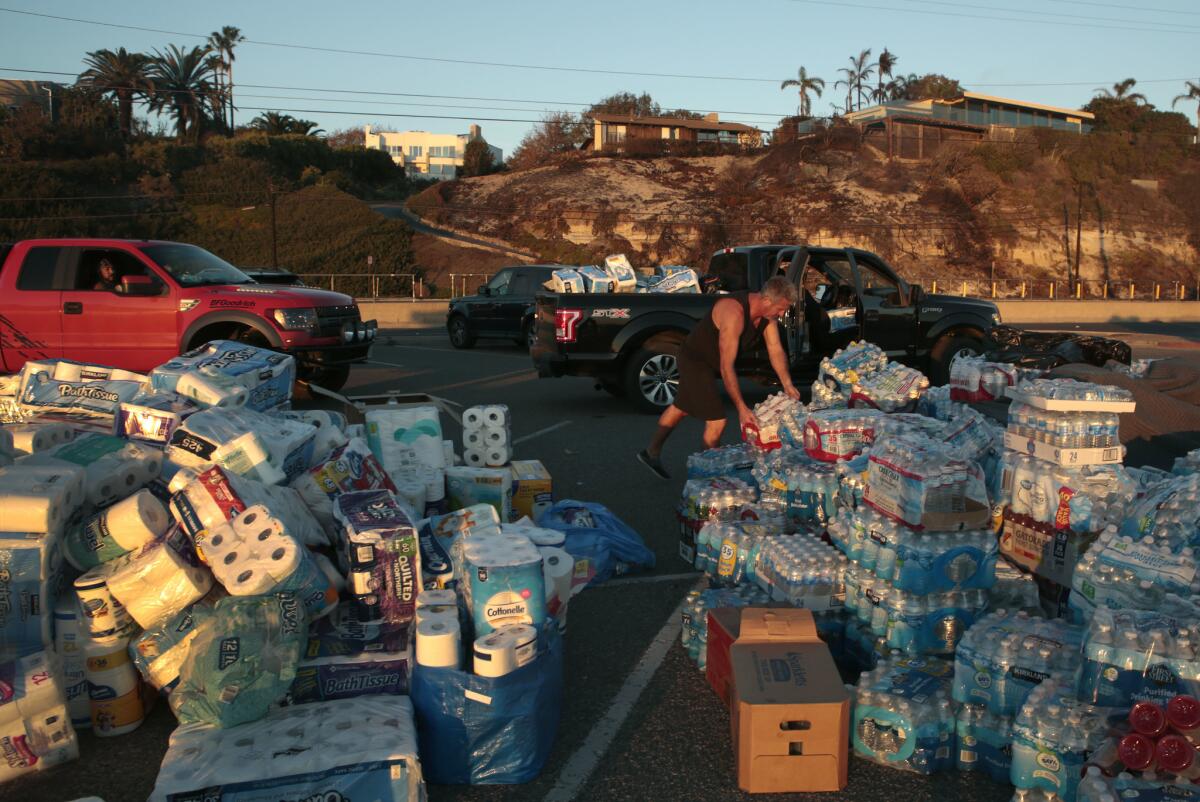
Donations have been pouring in from people eager to help firefighters and residents whose lives have been upended by the Woolsey fire.
A handful of businesses also have stepped up to help people affected by the blaze.
Below is a partial list of places where Woolsey fire victims and first responders can get essential services at no charge:
Agoura Dental Group
- Dr. Aaron Choormi is offering firefighters free dental service until the end of November. No appointment is needed. Firefighters are able to walk in during normal business hours and see a doctor at no charge. Choormi, whose practice has been in Agoura Hills for 11 years, wanted to give back to firefighters who helped save his house from the blaze. So far, he’s seen four firefighters in the last two days.
- Address: 5809 Kanan Road, Agoura Hills
Salon Rouge
- Hairstylists at Salon Rouge are offering free hair washes and haircuts to firefighters and families who have had to evacuate because of the Woolsey fire. The business intends to offer the service as long as there is a need.
- Address: 1341 E. Thousand Oaks Blvd., Suite 106, Thousand Oaks
Pet Food Express
- The owners at Pet Food Express, an independent pet food and supply shop, are offering people a place to wash their furry friends for free. Pet owners can go to any of the three stores in Thousand Oaks, Woodland Hills or Tarzana. Mike Murray, director of community outreach, estimates that hundreds of pet owners have brought in dogs and cats for a bath over the last week.
- Address: 1330 N. Moorpark Road, Thousand Oaks
- 23381 Mulholland Drive, Woodland Hills
- 18419 Ventura Blvd., Tarzana
Eva Varro Clothing and Apparel
- Eva Varro Clothing and Apparel is giving away clothing at a pop-up shop in Santa Monica on Saturday. Anyone affected by the Woolsey fire who is in need of clothes can stop by between 10 a.m. and 4 p.m.
- Address: 2823 Main St., Santa Monica
New fire erupts near Santa Paula, burning 50 acres in several hours
A brush fire that erupted in the Santa Paula area of Ventura County early Thursday has burned about 50 acres, authorities said.
The blaze, dubbed the Briggs fire, started near Highway 126 and Briggs Road beside the Santa Clara River about 1:40 a.m., according to the Ventura County Fire Department. Though authorities first estimated it to be 75 acres, by 9:30 a.m. firefighters had stopped the blaze from growing and downgraded the acreage estimate.
Crews on the ground were being aided by helicopters making water drops, said Ventura County firefighter Andy Van Sciver.
Wind, which has been a challenge for firefighters battling the nearby Woolsey fire, has not been an issue so far for the Briggs fire. The blaze was being driven by fuel and terrain, Van Sciver said.
The fire is not threatening any homes. Officials have not determined what sparked the fire.
9:30 a.m.: This post was updated to reflect the acreage and status of the fire. It was first published at 7:14 a.m.
Firefighters expect to increase containment of Woolsey fire as winds calm
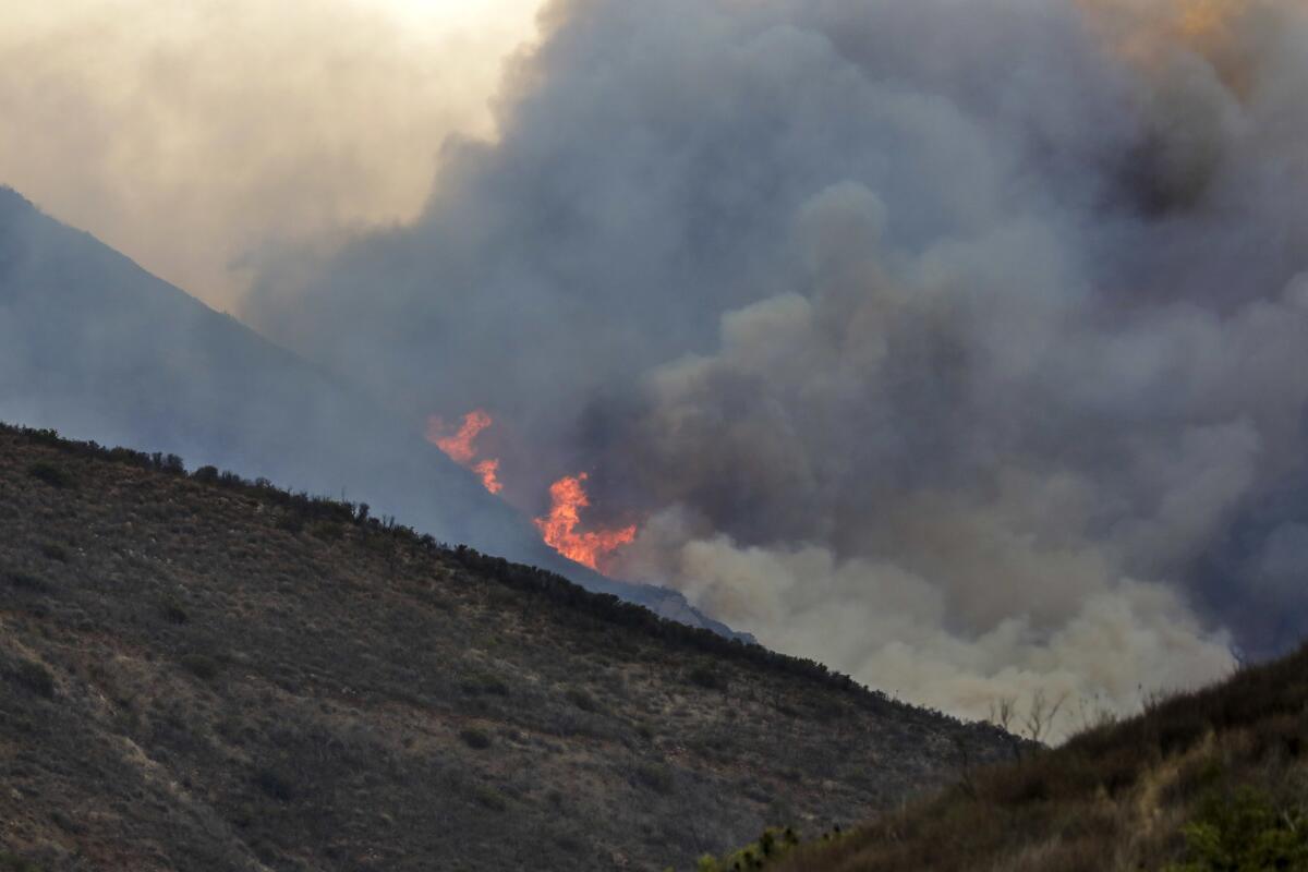
Firefighters managing the massive Woolsey fire in Ventura and Los Angeles counties will get a break in winds Thursday, which they expect will help them increase the fire’s containment, officials said.
Northeast winds are expected to drop to between 15 and 25 mph in the morning and then shift around noon, meteorologist Rich Thompson said. A sea breeze will blow off the ocean and up the coastal canyons through the evening until a light round of northeast winds returns overnight, he said.
“Definitely a lot less wind out there today than we have seen the last several days, but it’s still very dry out there,” he said.
Wind fueled the Woolsey fire, which has killed at least three people and consumed more than 98,000 acres. But with relative humidity still in the single digits, danger remains for firefighters.
Shrubs, trees and other potential fuels are as dry as 2-by-4s sold at hardware stores, officials have said. Relative humidity should increase near the coast overnight.
Couple who survived fire spent five days sleeping in their truck at a Burger King parking lot
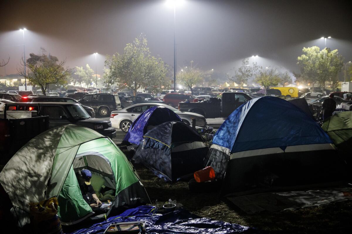
Maggie Missere, 61, and her partner, Michael Crowder, 64, spent five days sleeping in their truck in a Burger King parking lot in Chico with their dog, Coco.
Missere has heart problems and had difficulty living out of the truck. So earlier this week, they headed to Walmart for a tent and met a pastor who set them up with donated supplies.
On Wednesday afternoon, the couple sat outside their red tent, clutching mugs of coffee while Coco slept on a new bed beside them. By the afternoon the camp had swelled with more than 100 people. Many had pets with them.
“You can’t go hungry here,” Missere said.
The couple’s home in Magalia is still standing, but they haven’t been allowed back.
“I feel relieved that we have a home,” Crowder said. Many of their friends weren’t so lucky.
Crowder said she has been overwhelmed by the support at the camp. The couple spent most of what little money they had on hand before the fire on fast food when they were sleeping in their vehicle. On Wednesday, a man walked up and gave Crowder $60 in cash, bringing him to tears.
Soon after, two middle-school-aged girls walked up to the couple, one with a tray of burgers and the other with the fixings including mustard and pickles.
“See? They just come to you,” Missere said. “It’s like being at a restaurant.”
Chico newspaper rises to the biggest story in its history
It’s been a surreal time for the Chico Enterprise-Record and its longtime editor, David Little.
The last week has been like nothing else the 40-year newspaper veteran has experienced. Like the community they’re trying to keep informed, members of Little’s staff have been displaced and are worried about missing friends and lost loved ones.
For several days after the fire started, two employees were missing. Both were found alive and well. Throughout it all, Little’s staff continued to perform at the highest of levels. Informing the community in times of crisis is why many of them got into the business, after all.
“We have had a lot of help from a lot of people,” Little said in an interview, his tired voice hoarse from the smoke.
“Everyone has been dealing with evacuations, sheltering family and friends, and yet they’re down here working hard all the time. That’s why people are doing this, because they know people depend on it. It gives you hope that people appreciate newspapers in a time like this.”
Camp fire grows to 140,000 acres with 40% containment
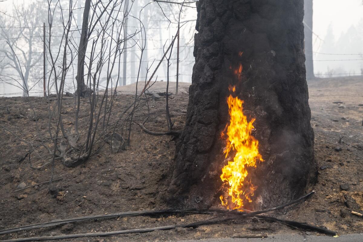
Firefighters battling the Camp fire in Northern California boosted containment of the massive blaze overnight to 40%, though the fire continued to expand its footprint.
The blaze has charred 140,000 acres in Butte County as of Thursday morning, according to California Department of Forestry and Fire Protection officials.
Officials said the blaze, which is the deadliest and most destructive in California history, remained active overnight. Crews will use ground and air resources through the day to get a handle on the fire’s growth.
The inferno has ravaged the region for a week, killing at least 56 people and destroying more than 8,650 homes. Officials anticipate that it could take two weeks for them to fully contain the fire.
Firefighters boost Woolsey blaze’s containment to 57% overnight
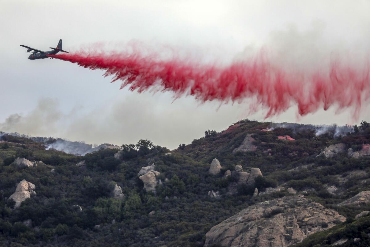
Firefighters stopped the Woolsey fire’s expansion and boosted containment of the devastating blaze to 57% overnight, California Department of Forestry and Fire Protection officials said Thursday.
The fire’s footprint as of Thursday morning was 98,362 acres.
The boost in containment comes as strong winds that had battered the region for three consecutive days finally diminished. This means the fire will transition from being wind-driven to terrain and fuel-driven, said Cal Fire spokesman Chris Anthony.
“I think we’re all hoping today will be a turning point for us in this fight,” Anthony said. “But, we’re not ramping down. This is a huge fire and there’s still a lot of containment that needs to be done.”
Cal Fire officials estimate about 504 structures have been destroyed in the blaze. At least three people have died.
Washington firefighter battling Woolsey blaze hospitalized after being hit by car
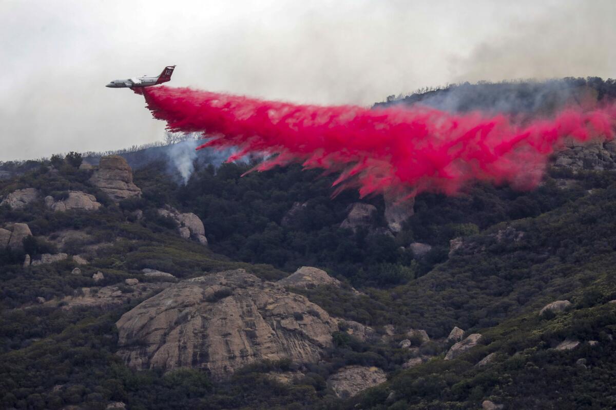
A Washington state firefighter was injured after being struck by a car while battling the Woolsey fire in Ventura County early Thursday, officials said.
The firefighter, who works for South Kitsap Fire and Rescue, was hit around 12:30 a.m. near Deer Creek Road and Pacific Coast Highway, officials said.
He was airlifted to a hospital with injuries that did not appear to be life-threatening, fire officials said. The car that struck him belonged to a private citizen, they said.
South Kitsap Fire and Rescue wrote in a Facebook post on Tuesday that the crew assigned to the Woolsey fire was doing well but was tired from a 30-hour shift. They were on a 24-hour break and started back on the fire at 6 a.m. Wednesday.
‘We’ve become a bit of experts on how to recover from fires’: Ventura County town hall starts residents on road back to normal

About 50 people gathered for a town hall meeting in Thousand Oaks on Wednesday night for people who lost homes or belongings in the Woolsey and Hill fires.
Ventura County Fire Chief Mark Lorenzen asked the crowd how many of them had lost homes. A third of the hands went up. How many knew someone who had lost a home? More than half raised their hands.
Lorenzen said he had increased staffing 70% in anticipation of the winds last Thursday, but that extra staffing was no match for how fast the fires grew.
The Hill fire crossed the 101 Freeway in 12 minutes, he said. Thirty minutes after it began, the Woolsey fire broke out between Thousand Oaks and Simi Valley. It was just 1,000 acres at first, he said.
“Then the wind hit, and we all know what happens after that,” he said.
In Ventura County, 95 structures were lost to fire, he said. He emphasized that though some people lost their homes, many other properties had been saved.
“We legitimately had everybody that was available out there protecting your families and your homes,” he said. “I’m deeply sorry for your loss. I am so thankful that you’re all here to join us and that we can share in this process and help you on the road to recovery.”
Ventura County Supervisor Linda Parks told the crowd a story about local off-duty firefighter Mike Williams, who left his own home to help save a neighbor’s. While he was trying to put out the blaze, his house burned down.
“It’s just an example of the type of people we have in our community,” she said.
“Our county has a lot of experience, unfortunately, dealing with fires,” said Parks, referring to the Thomas fire last year, which at the time was the most destructive in California history. “We’ve become a bit of experts on how to recover from fires.”
Ventura County Sheriff Bill Ayub said that evacuations began half an hour after the Hill fire broke out.
“Even though we were heavily impacted by the Borderline incident, we did not skip a beat when the time came to assess for evacuations,” he said, referring to the mass shooting last week at the Borderline Bar and Grill in Thousand Oaks.
He said they evacuated nearly 95,000 people, with no injuries. “I’m not even aware of any traffic collisions,” he said. “That’s pretty impressive.”
Ayub said 2,400 people are still under mandatory evacuation orders, mostly south of Lake Sherwood.
Ventura County officials urged people to apply for Federal Emergency Management Agency assistance and other benefits. The county will offer financial assistance to renters who lost homes in the fires. A family of three that makes $109,000 a year or less would qualify. Thousand Oaks is opening an assistance center Thursday at the city library.
“It has been a tough week for our community, with first the Borderline shooting incident and then followed less than 24 hours afterward by the firestorms,” Thousand Oaks Mayor Andrew Fox said. “Tonight’s meeting, however, is about the process of recovery.”
Ventura County health officer Robert Levin warned about poor air quality and other health hazards because of the fires. The county declared a public health emergency Wednesday because of the “potential of widespread toxic exposures and threats.”
“The best protection from poor air quality ... is leaving the area,” Levin said. “The next best protection is going indoors, with windows and doors closed.”
He said that N95 masks help, but it’s better to stay indoors. He also warned people not touch ash, as it could contain toxic chemicals, and recommended that professionals be hired to clean their homes after they return from a mandatory evacuation.
Levin also pointed people to the county’s website, wellnesseveryday.org, for resources on coping with emotional trauma from the fires.
“After a disaster people can feel stress, grief, guilt, anger or depression,” he said. “You do not need to deal with difficult times by yourself.”
Officials in Paradise limited evacuation alerts as fire moved in
When the Camp fire barreled toward this Sierra foothill town last Thursday morning, officials had a crucial choice to make right way: How much of Paradise should be evacuated?
The decision was complicated by history and topography. Paradise sits on a hilltop and is hemmed in by canyons, with only four narrow winding routes to flee to safety. During its last major fire in 2008, authorities evacuated so many people that roads became dangerously clogged.
So this time, they decided not to immediately undergo a full-scale evacuation, hoping to get residents out of neighborhoods closest to the fires first before the roads became gridlocked.
Norovirus confirmed at Chico evacuation center
Public health officials were responding to a norovirus outbreak at an evacuation center for fire victims in Chico, the main city near Paradise.
Lisa Almaguer, the public information officer for the Butte County Department of Public Health, said that norovirus was confirmed at Neighborhood Church, a Chico shelter where about 200 evacuees are staying.
Almaguer did not know how many people were ill but said that the sick have been separated from the healthy.
Such outbreaks are “not uncommon” in relatively small spaces where lots of people are living, she said.
She said the staff at the shelter is working to clean handles, counter tops and anywhere else the virus might be.
56 dead in Paradise fire; 10,300 structures lost
The grim search for victims of California’s deadliest fire continued Wednesday as firefighters made progress in containing the Camp fire that burned the town of Paradise.
The fire has killed at least 56 people, destroyed more than 10,300 structures and scorched 138,000 acres in Butte County. It was 35% contained as of Wednesday evening, according to California Department of Forestry and Fire Protection officials.
Malibu schools will remain closed until after Thanksgiving
Malibu schools will remain closed until after Thanksgiving, the school district announced Wednesday.
Officials said many areas remain under evacuation in the city, where numerous homes were lost in the Woolsey fire. Here is a statement from the Santa Monica-Malibu Unified School District:
Our hearts go out to all of the families and community members in Malibu, and in all the surrounding communities, who have lost homes, whose homes have sustained significant damage, and who are currently displaced. Most of the City of Malibu is still under evacuation order and we understand that many people are anxious to return to their properties to inspect loss, damage or at a minimum, very ashy and dusty conditions. All four of our schools are still in the current evacuation area. Malibu High School, Juan Cabrillo Elementary School, Point Dume Marine Science School and Webster Elementary School will remain closed until such time as we can safely reopen them. Right now, we know at a minimum that schools will be closed this week and the week of Thanksgiving.
Gov. Jerry Brown at a loss for words after touring the charred ruins of Paradise

After touring the site of the Camp fire in Paradise, Calif., on Wednesday, Gov. Jerry Brown said he was at a loss for words.
“This is so devastating that I don’t really have the words to describe it,” Brown said at a news conference afterward in Chico. “It looks like a war zone. It is.”
Brown was by joined by U.S. Interior Secretary Ryan Zinke, FEMA Administrator Brock Long and state fire officials to give an update on the Camp and Woolsey fires.
The governor said he issued an executive order Wednesday that would help “cut red” tape to help speed up Camp fire cleanup and recovery efforts.
“We’re in a different kind of world, we know that,” Brown said. “There are many elements to this, what causes these kind of catastrophes.”
Brown said that President Trump called him Wednesday. He said the president “pledged the full resources of the federal government.”
“I can tell you that California stands in the same position. We do have the funds. We will help out in every way we can, realizing that we have issues in Southern California and we will have problems in the years to come,” Brown said. “Now is the time for solidarity and understanding and let’s learn how to do this together in the best way we can.”
Cal Fire Chief Ken Pimlott said dry fire conditions continued to persist across California, which can produce “new and potentially damaging” fires going forward.
Zinke said officials were still in the recovery stage while continuing to fight the Camp and Woolsey fires. The next set of challenges, he said, will be protecting against mudslides when the rainy season arrives.
Zinke suggested that California should manage its forests better in the long term in order to prevent large-scale fires that have devastated California communities in recent years.
“Maybe we should manage our forests a little more,” he said.
Moments later, Zinke said: “There’s loss of life and now people are in shock because they lost their homes and lost their lives. This is unacceptable.”
Higher temperatures and longer seasons have led to drier brush, which fuels fires, Zinke said, adding that that’s led to less manpower to do prescribed burns in areas populated with dry brush.
“We have dead and dying timber in enormous amounts,” he said. “We don’t have the manpower to do prescribed burns.”
Last week, Trump was criticized by firefighters across California when he erroneously blamed deadly and destructive wildfires on poor “forest management.” He said that if the state did not do something about it, the federal government would deny unspecified “payments.”
Neither the Woolsey or Camp fires were forest fires, and experts said forest thinning would not have stopped the Camp or the Tubbs fire that last year devastated California’s wine country.
Director of the California Office of Emergency Services, Mark Ghilarducci, said the next phase of the recovery process will be getting people who lost their homes into interim housing.
Officials are working with Airbnb and are considering bringing in mobile homes since there’s a limited number of available rental properties. The goal, Ghilarducci said, is to house as many people in the area as possible.
But the future of Paradise and other small neighboring communities remains unclear.
Long warned that rebuilding will take years.
Authorities remain focused on identifying the remains of those who perished in the fire. Officials are unsure how long that will take. “There’s sensitivity around debris. We can’t remove it because we are still looking for missing people,” Long said.
Since the entire infrastructure of Paradise and neighboring communities was leveled by the Camp fire, residents will need to work alongside local and state officials to envision what the future of these places will look like.
“We are striving for a new normal. We need to figure out what is the goal and vision for the community as a result of going through this event,” Long said.
“We will not be able to rebuild Paradise the way it was.”
Her father ran back into the house during the Camp fire. Then she watched it burn to the ground.
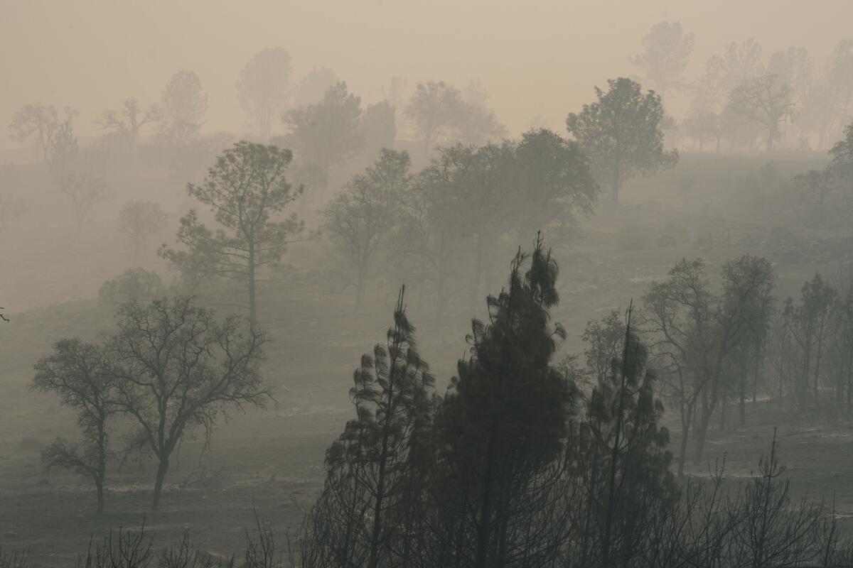
Anna Dise and her father, Gordon Dise, 66, watched news of the Camp fire approaching their home near Butte Creek for as long as they could Thursday until the power went out midday.
It’s hard for her to nail down times — the sky looked black even at 2 p.m. After that, it was up to Anna to keep an eye out for flames. About 7 or 8 p.m., she thinks, she saw them coming from the Skyway down the hill toward her and her father’s 2.5-acre property, in the 2700 block of Eskin Maidu Trail.
“I get why they turned off the power, to prevent more power lines from sparking and stuff, but it would have been nice to be able to watch the news and hear what was going on,” said Anna, 25.
Nobody drove by with evacuation orders, she said. She and her father didn’t have a landline, and they didn’t get cell service in the canyon. Anna and her father prepared to flee with their two dogs as quickly as possible, their house soon overtaken by flames. As they were ready to pull out, she said, he ran back in the house.
“I don’t know why he went back in the house. We had the dogs, we had everything … and he went back in for some reason, and I was yelling at him not to. I went to the car, honked the horn. He hadn’t came out so I … started the car to start to drive out but the tires had melted,” Anna said.
“The house was on fire, the kitchen collapsed and at that point I got the dogs out of the car,” Anna said.
Unable to drive away, she ran to a neighbor’s large gravel driveway and found a wet ditch that she used to wet her jacket and hair. She sat there all night with the two dogs, watching for flames and flying embers.
She watched the house she had lived in her entire life burn to the ground. She assumes her father was still inside.
“I was watching the fire from every direction,” she said. Sometimes, flames were just feet away.
“My face was peeling. It still is, because it was so hot. It feels like a really bad sunburn,” she said.
“I tried calling 911 once and … they said they’d send someone up to get me that night but no one made it up until the next day,” Anna said. She heard trees falling and didn’t have a flashlight, so she didn’t want to try to escape on foot when it was dark.
Once daylight returned, she said, “me and the dogs walked down to the road to meet Cal Fire where they were cutting down trees.”
Firefighters gave Anna and the dogs food and water, and drove them to the nearest Red Cross shelter, she said.
“It was incredible how much it looked like an inferno around us.”
She still feels like she’s in shock, and is coughing from being out in the fire all night. She hasn’t seen a doctor yet, Anna said.
Now Anna is staying with family friends in Durham, another town in Butte County, where she feels safe and loved. But most photos she has of her father burned in the fire, along with the books she normally would read to make herself feel less overwhelmed.
Authorities still have not confirmed that Gordon died in the fire, she said.
Even though she saw what happened, the confirmation would help “to know there isn’t a small percent chance” that her father is alive, she said.
Wednesday night will be especially hard, Anna said. Usually she and her dad would be at home watching their favorite show together — “Survivor.”
Malibu residents wait in line on Pacific Coast Highway to return home
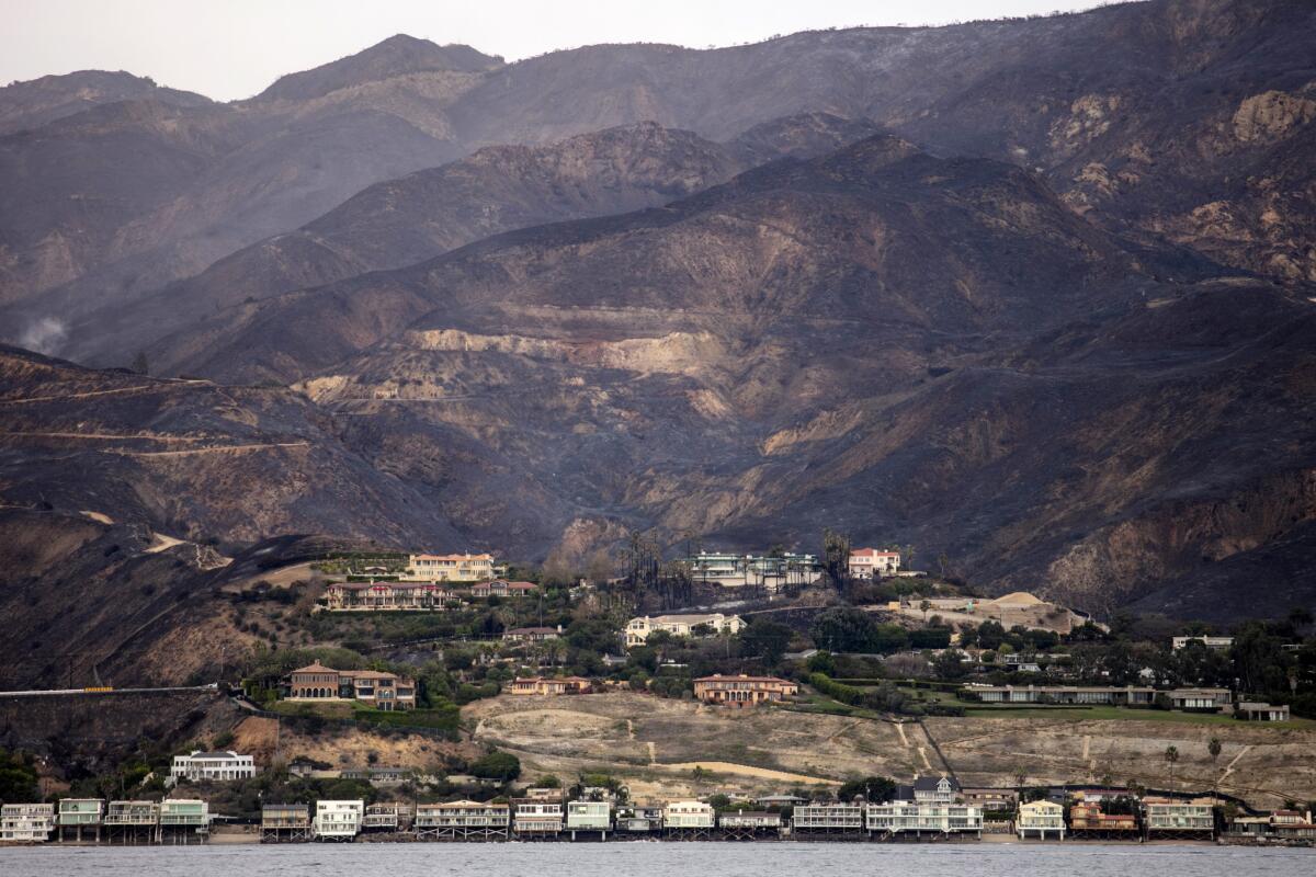
Justin Freer, 38, idled in his Chevy Volt by the Arco station at Topanga Canyon Boulevard and Pacific Coast Highway, waiting to see whether Los Angeles Sheriff’s Department deputies would let him back to a property of his near Big Rock Drive.
Officials had begun repopulation efforts Wednesday afternoon, setting up a checkpoint to screen residents coming through the area. Malibu residents who live between the ocean and the northern city limit and in the neighborhoods of Serra Retreat and Sweet Water Mesa were allowed back home starting at 2 p.m.
The Malibu Colony neighborhood and Civic Center area remained closed.
Freer, who also has a home in Thousand Oaks, had to flee the Woolsey fire on Thursday night and had not been able to get through to Malibu until Wednesday. His car was filled with luggage, Brawny paper towels and more.
He didn’t know what he would find when he reached his property.
“I feel for people who lost their homes,” he said. “I’m nervous about my own. Knock on wood.”
Deputies waved him through.
The Sheriff’s Department later moved the checkpoint to Carbon Canyon Road and Pacific Coast Highway, and emphasized that only residents would be allowed through.
Officials took that order seriously at the checkpoint, denying entry for Frank Milliren, 54, who had been staying with a friend in Malibu. Milliren watched the line of cars waiting to get into Malibu snake east on Pacific Coast Highway.
He had left his friend’s home in Point Dume to get food for his dog, Casanova. He had only a medical bill to tie him to his friend’s address. It wasn’t enough for the deputies.
“The rejection is hard,” he said.
Evacuees encounter fear and kindness at Chico’s unofficial tent city
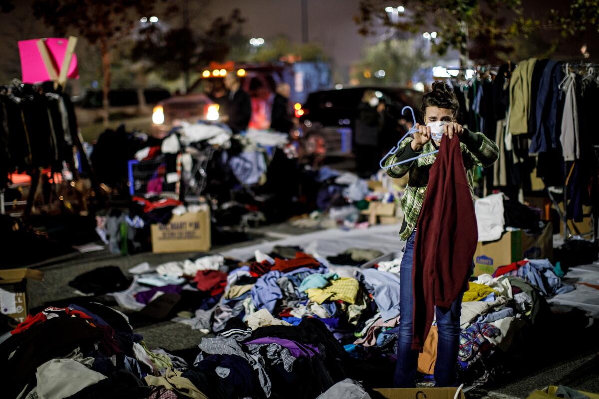
While Laura Whitaker’s daughter took her 8-year-old son for a donated haircut, Whitaker hung out with her dog Sadie outside her tent.
Whitaker couldn’t go to a shelter with her large dog, a rescued Rottweiler, so here she was, camping instead.
“I love her to death,” Whitaker said of her dog. “I’m not going to put her in a kennel.”
Whitaker has been through this before. When she was 5, a fire destroyed her home.
“This time, we just got out with the clothes on our back,” she said. She escaped, driving through flames on each side of the road. Burning trees created balls of fire around her.
“I kept thinking I was going to pass out,” Whitaker said. “I thought that was it.”
Whitaker had been at the impromptu tent city created by evacuees since Friday. It felt like family until Tuesday.
“Yesterday, it became scary,” she said.
Some people were selling drugs out of a car, she said, and others were complaining that items were going missing from their tents.
“I love Paradise,” she said. “If it were safe to be there, I’d be there, on the property, pitch on a tent right now.”
Just then, a man named Sean Wright walked up with a plastic bag full of items from Walmart. Wright bought about $30 worth of toiletries — and some toys — for the people staying at the tent city.
“Anybody got a couple boys?” he asked, then handed Whitaker a pack of Hot Wheels toy cars. “This is all I can do.”
“I’m hoping I can put a smile on your kids’ face,” Wright said. His daughter, who is 8 1/2 months pregnant, lost her home in the fire. Wright said she had just gotten a crib for the new baby.
Matthew Flanagan, 55, ran an antiques booth in Paradise. He set up camp with about five other tents in a half-moon shape. In the center were chairs set in a circle. A 45-gallon plastic bin was being used as a table. A puppy named Nell lay nearby, snug in a pink sweater.
A woman walked up to Flanagan and gave him a $25 gift card to Walmart.
“I might give it to someone else who needs it,” he said.
Flanagan and Daryl Merritt met at the camp and realized they lived a block away from each other in Paradise. On Tuesday night, the men tried to think of names for the tent city.
“This is Wal-E Hood right here,” Merritt said.
Denise Chester, 44, placed donated toys on a yellow blanket while children ran around, playing.
Chester, of Magalia, and her husband evacuated their home with their two children, ages 13 and 11. She reminded her children to keep checking in with her as they roamed the camp. Meanwhile, she organized a pile of crayons, markers, coloring books, playing cards, blankets and stuffed animals.
“I don’t know my situation yet,” she said. “I don’t want to know.”
In Paradise, some landmarks go untouched while Camp fire consumes others
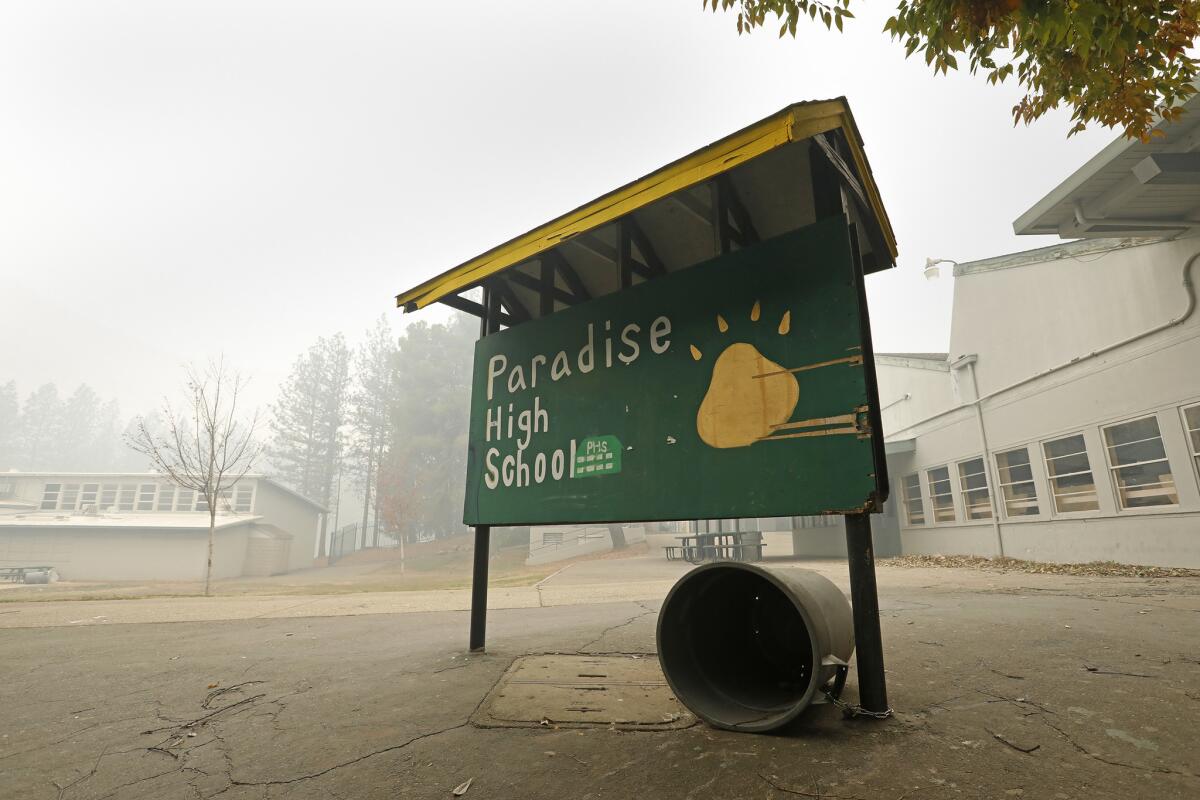
The Camp fire — the deadliest wildfire in California history, with at least 48 dead and hundreds missing — haphazardly visited the buildings in Paradise.
The low-slung campus, with its green-and-white buildings situated among the pine trees, was unscathed in the fire. Gray smoke filled the air around it Wednesday afternoon, and power lines dangled over sidewalks.
The trees on campus were just starting to turn red and yellow for autumn. A charred hillside and the slightly darkened exterior walls of a few buildings on the south side of campus show how close the flames got.
Just across Maxwell Drive next to the school, several single-family homes were reduced to ash. A brick fireplace stands sentry at one, hulking above twisted metal and piles of stone that used to be a house. In the driveway is the husk of a long-bed truck with hubcaps whose metal had melted into silver puddles.
The First Assembly of God church next to the school is now a brick shell. But across Elliot Road, Paradise Cemetery survived. One white marble headstone for a 70-year-old man who died in 1911 reads: “I’ll Wait for the Lord.” Other headstones date to the 19th century.
On Wednesday, a squirrel traipsed through the cemetery, crunching leaves, and the only other sound was chainsaws in the distance run by utility crews.
‘We have nothing’: Camp fire evacuees turn Chico vacant lot into a tent city
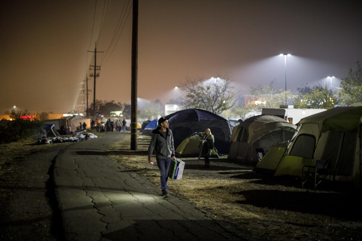
DeAnn “Dee” Miller, 57, was homeless on the streets of Chico for a year and a half until this May, when her uncle got her a 16-foot travel trailer and parked it in Magalia.
Miller took care of her uncle, who has health problems, and she lived in the trailer, parked in the Paradise Pines RV park, until the fire.
Now, Miller fears, she’s homeless again with only the clothing she was wearing when she evacuated from the area.
Miller, who doesn’t have any paperwork for her trailer and lives off $1,000 a month in Social Security income, has found temporary refuge at a makeshift tent city in a vacant lot next to a Walmart in Chico along with dozens of others who are relying on donated tents, chairs and sleeping bags for shelter.
“I’m just staying here until I can find out about my trailer,” she said. She also hasn’t heard from her uncle Joe, who also was displaced.
“We have nothing,” she said, standing in a parking lot Wednesday morning, sitting on a walker she uses to get around.
The chilly temperatures at night aggravate her arthritis, but she’s thankful for the many volunteers who have come by the tent city.
Tuesday night, someone brought her a cooler full of Gatorade. She fell asleep until she awoke to a commotion from a man saying he was having a heart attack.
“To just get a home again, and to lose it like this …” her voice trailed off before tears began falling down her face. “I don’t want to be homeless again.”
Nearby, a woman was walking around giving out warm, damp towels for people to wash their faces. Others were passing out homemade muffins and gift cards.
A few steps away, Karen Kaksonen, 33, was with her boyfriend, her mother and her mother’s fiance. The four of them shared a tent Tuesday night to keep warm.
Kaksonen, a Paradise resident since she was 12, said she didn’t have time to grab anything except half of a telephone. She forgot her grandfather’s ashes back at home in an oak urn.
Kaksonen, who teaches home-schooled children with special needs, said she’s not sure she will go back to Paradise.
All that was left of her 800-square-foot home was a brick chimney. She showed a picture on her phone of a burned-out home, her grandmother’s oxygen tank in the driveway. (Her grandmother was in the Bay Area at the time of the fire.)
Kaksonen, who was in Paradise for a major fire in 2008, said she’s used to evacuating, but it has never been like this.
Her home, perched high on the mountain, seemed to always be spared by the flames. She remembers telling her grandmother that the firefighters would “never let the fire get this high.”
After the fires, another threat looms: mud flows
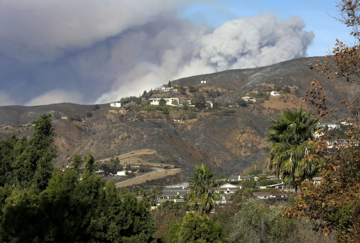
Some residents returning to their homes after evacuating from the Woolsey fire are being warned to prepare for potential mud flows, a deadly threat that will continue to loom over the region as the rainy season approaches.
Authorities told Malibu residents during a town hall meeting Tuesday that the California Department of Forestry and Fire Protection’s watershed emergency response team will try to determine what areas of the city are most at risk for mud flows in the event of a strong storm.
Officials begin repopulation efforts for residents displaced by Woolsey fire
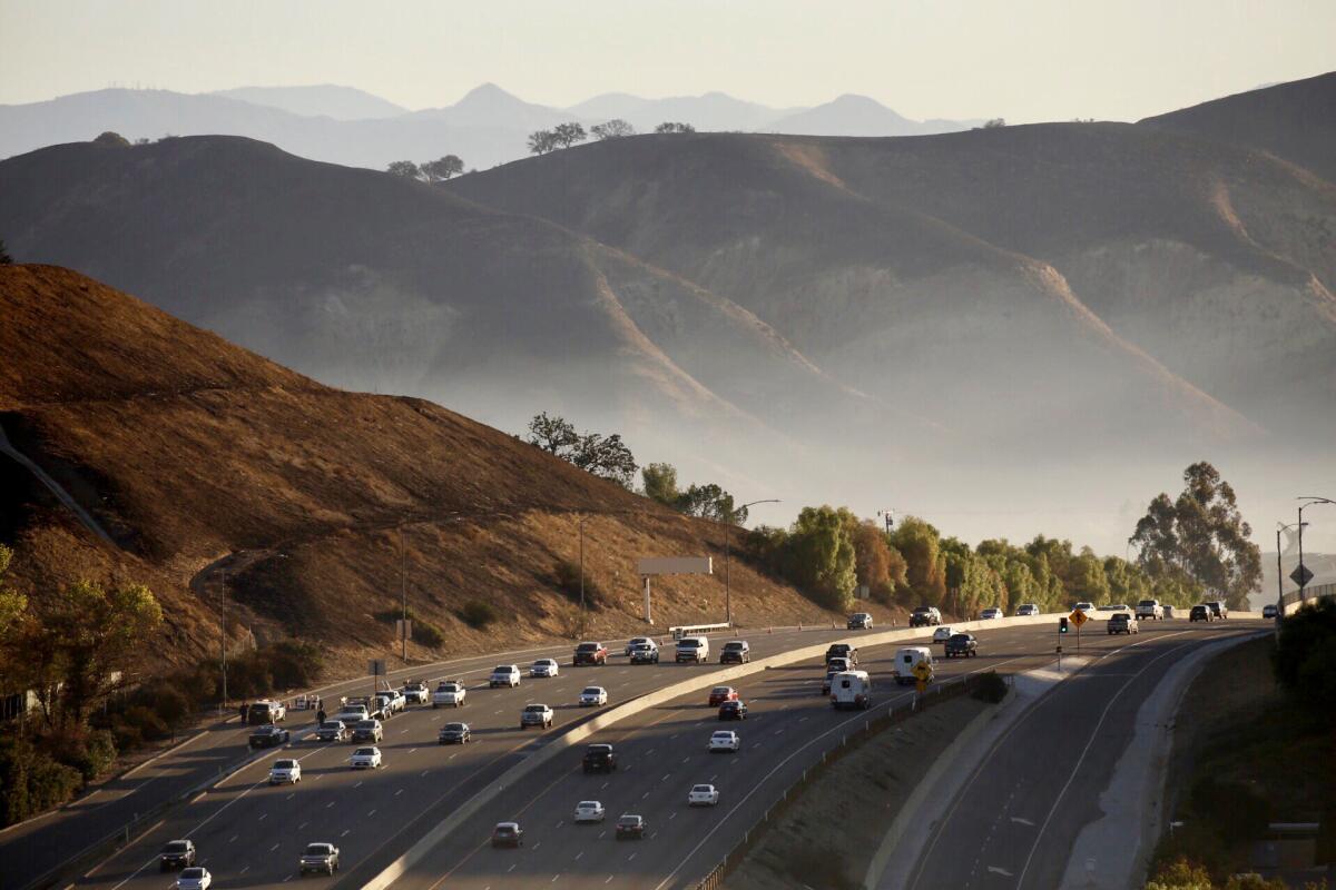
Officials announced Wednesday that several mandatory evacuation orders are lifted for those displaced by the Woolsey fire.
The City of Calabasas tweeted Wednesday morning that evacuation orders for the entire city had been lifted. Later, the Los Angeles County Sheriff’s Department said evacuation orders for several areas of Malibu would be lifted at 2 p.m. Wednesday.
In Malibu, only residents will be able to access the following areas:
- Pacific Coast Highway from Carbon Canyon Road (East) to Webb Way (West)
- From the ocean to the northern Malibu city limit
- Neighborhoods of Serra Retreat and Sweetwater Mesa
The Malibu Colony neighborhood and Civic Center area are still under evacuation, the Sheriff’s Department said.
Communities north of Lake Sherwood are also able to return to their homes, California Department of Forestry and Fire Protection officials said.
Mandatory evacuation orders were lifted for the communities south of Potrero Road, including homes on Lake Sherwood Drive, Stone Creek Court, Baybrook Court, David Lane, Ravensbury Street, Cricketfield Court and Trentham Road.
The remainder of Lake Sherwood, Hidden Valley and Carlisle Canyon Road are still under mandatory evacuation, Cal Fire said.
------------
12:20 p.m. : This article was updated to include information about Malibu evacuation orders.
1 p.m. : This article was updated to include information about Lake Sherwood evacuation orders.
The post was originally published at 11:58 a.m.
PG&E outlook ominous if utility found responsible for California’s worst wildfire
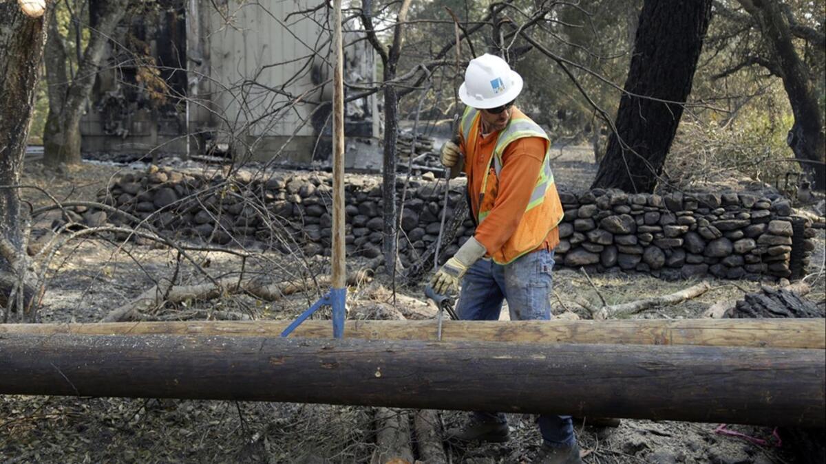
In a grim sign for the Northern California utility giant, Pacific Gas & Electric said Wednesday that if it is deemed responsible for the fire that destroyed much of Paradise, the liability would exceed its insurance coverage.
The cause of California’s most destructive and deadly wildfire has not yet been determined. But PG&E said a transmission line in the area went offline 15 minutes before the fire was first reported, and the company found a damaged transmission tower near where investigators said the fire began. Investigations are underway on the cause of the Camp fire, which has destroyed more than 7,000 homes and killed at least 48 people.
PG&E says 23,000 customers are without power because of the Camp fire
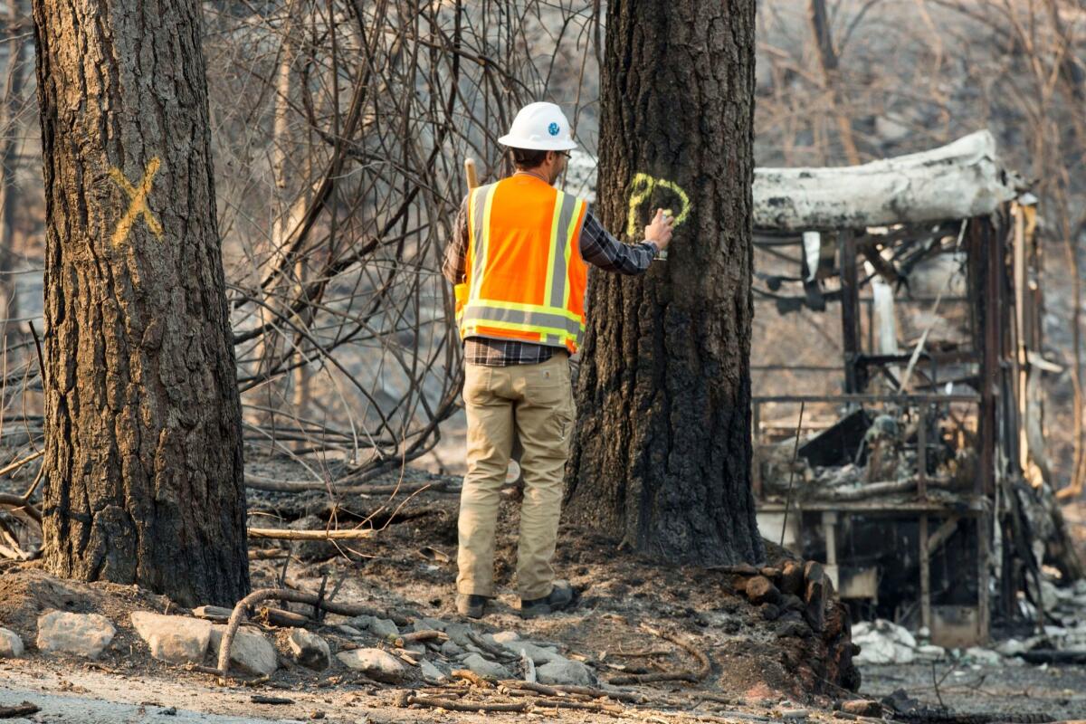
Tens of thousands of people in Northern California are without power and gas as a result of the deadly Camp fire, Pacific Gas & Electric Co. said Wednesday.
Since Monday, the utility has sent hundreds of crew members into the field and they have restored electricity to 2,200 homes. Still, 23,000 customers are without power and 12,000 others don’t have gas, the utility said.
“In many cases, immediate restoration may not be possible,” the utility said in a statement. “In those instances, PG&E is looking at a longer term rebuild of the system wherever and whenever customers rebuild their homes, and supporting our communities as they recover and rebuild.”
Rain could be on the way to Southern California burn areas
Weather conditions will improve for firefighters in the next few days, and the National Weather Service says rain could be on the way for burn areas in Southern California.
Jayme Laber, a hydrologist with the Oxnard branch of the weather service, said the wind direction is expected to shift 180 degree, which means the strong, dry winds from the desert that have fanned flames across the region will shift onshore, bringing more moisture.
“We’re going to see those offshore winds relaxing and tapering off, and we’re going to start seeing our typically afternoon sea breeze and that will last until tomorrow,” Laber said.
“That strong wind is going to stop. With the sea breeze, the humidity will start increasing again.”
He predicted top winds speeds of 15-20 mph, a steep drop from the 50-mph gusts that swept Southern California in recent days.
Laber said that, while forecasting models are conflicting right now, “there is some potential for rain next week.”
It would likely arrive around Thanksgiving in the days afterward.
“The models are hinting at something, but it’s pretty low-confidence at this time.”
Butte County releases names of more than 100 still missing in Camp fire
Butte County officials Wednesday released a list of the names of more than 100 people who have been reported missing in the Camp fire and asked the public’s help in identifying residents who are safe.
Between 8 a.m. and 8 p.m., people can call the missing persons task force at the following numbers: (530) 538-6570, (530) 538-7544 and (530) 538-7671.
The Sheriff’s Office is also accepting emails at infosheriff@buttecounty.net.
Here are the names of the missing released Wednesday morning:
Malibu Jewish camps destroyed in Woolsey fire
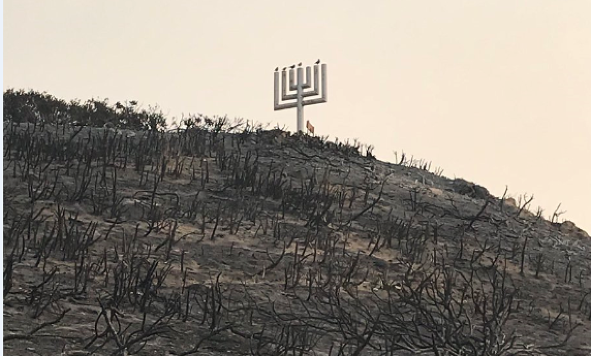
Nearly 70 years ago, Rabbi Alfred Wolf built two camps in Malibu: the beachside Hess Kramer and its sister camp Hilltop.
The camps weren’t only for Jewish children, but for others from Los Angeles’ burgeoning and increasingly diverse communities.
In the 1960s, they became another home for a group of young Latinos who helped launch the Chicano movement.
But this week, the camps’ director, Seth Toybes, confirmed that Camp Hilltop was destroyed by the Woolsey fire.
Malibu residents question emergency response during Woolsey fire
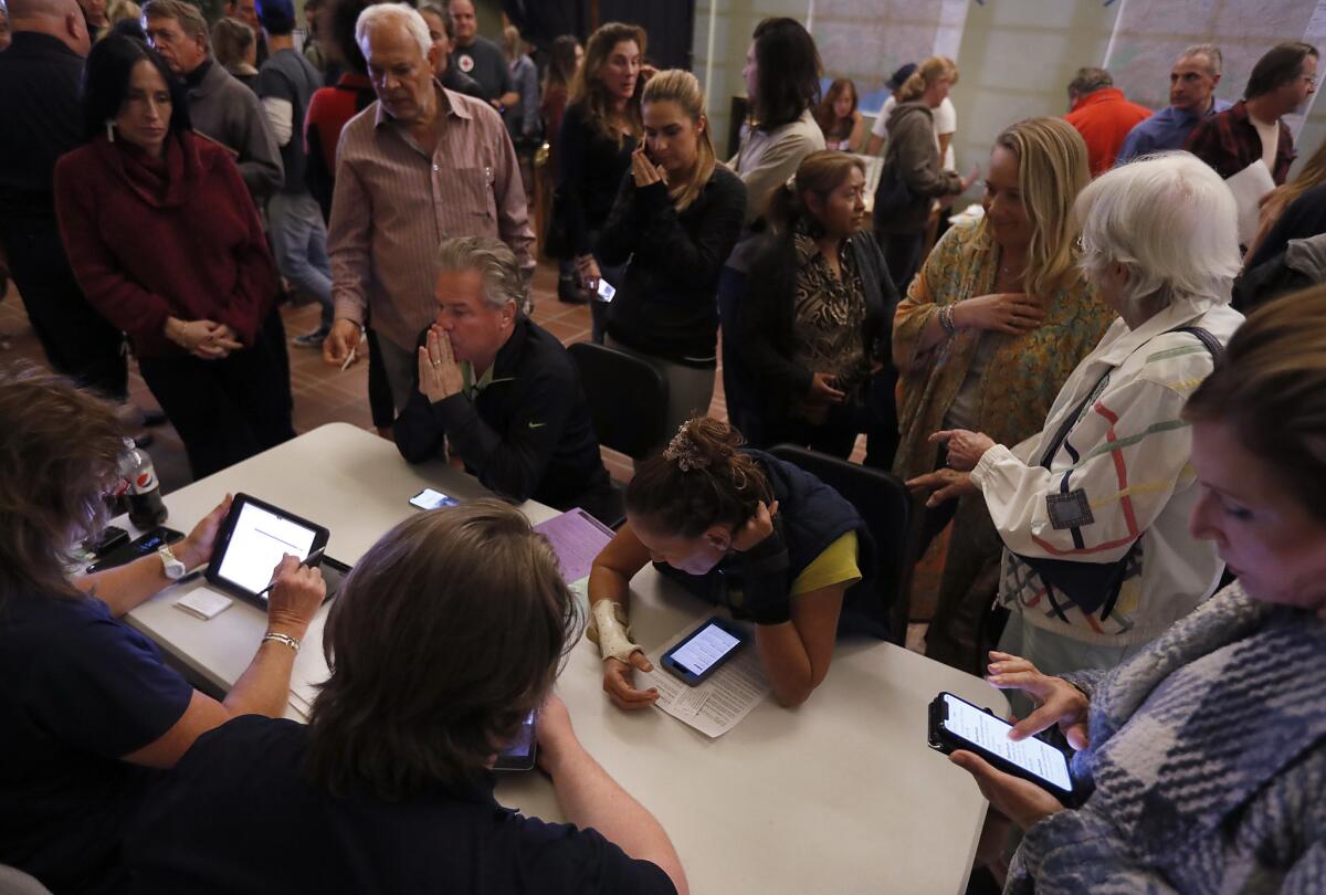
As authorities continue to assess widespread damage from the Woolsey fire’s devastating march through Malibu and other areas in Los Angeles and Ventura counties, fire officials this week found themselves at the center of scrutiny from residents who sought clarity about the blaze’s destruction in their coastal city.
Richard Bloom, a state assemblyman who represents Malibu and neighboring communities, said that in every major fire, questions arise about the deployment of resources.
“Why were they here and not here? These are important questions. They deserve answers. The responses are never quite perfect,” Bloom said. “What you’re looking for is coverage everywhere, which is virtually impossible given the limitations of resources.”
Billionaire with yacht, surfers and other volunteers help deliver supplies to fire-charred Malibu

Billionaire with yacht, surfers and other volunteers get supplies to Malibu
It was the kind of relief effort one might expect to see only on one of those sun-kissed reality TV shows about wealthy, tanned and really good-looking people in Southern California.
As the Woolsey fire continued to burn, Bill Kerbox got a call Monday night from his friend whose 143-foot yacht, the Leight Star, was ready to be deployed. It boasts a helipad and plenty of space. The mission needed only one thing: volunteers and supplies to deliver to victims of the roughly 97,000-acre fire who had stayed behind.
Woolsey fire grows slightly to 97,620 acres with 47% containment
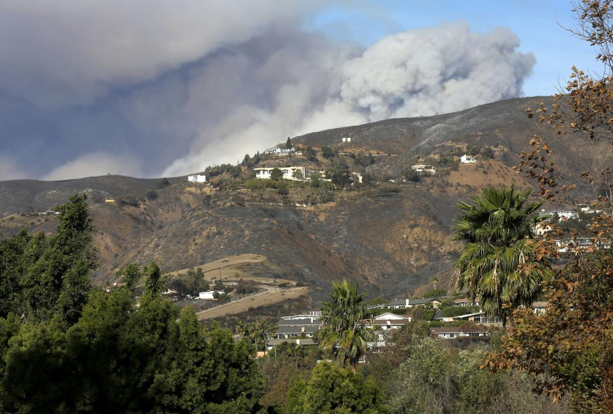
The Woolsey fire grew slightly overnight, burning about 500 acres and growing the fire’s footprint to 97,620 acres as of Wednesday morning, according to California Department of Forestry and Fire Protection officials.
The fire, which has torn through a swath of Ventura and Los Angeles counties since last week, was 47% contained early Wednesday, officials said.
The boost in containment comes as firefighters prepare for a third consecutive day of Santa Ana winds.
Firefighting efforts will be focused Wednesday on the eastern end of the fire, according to Cal Fire spokesman Chris Anthony.
Firefighters’ main priority will be stopping the fire from spreading east of Malibu Canyon Road. Crews are building containment lines by clearing areas along the road of fuels that could ignite if the fire creeps closer to the road.
One area of concern is a section of Malibu Canyon Road. Because the road goes through a tunnel, burned material can roll straight to the bottom of the canyon.
Firefighters in helicopters and fixed-wing aircraft are “constantly” dropping retardant on the hillside above the tunnel, Anthony said, and firefighters are expected to reach the area above the tunnel on foot to clear the hillside and build a containment line to prevent flammable material from rolling down the hill.
Winds are expected to be strong in the morning but should weaken by the evening, somewhat lessening fire-weather concerns, according to the National Weather Service.
A red-flag warning remains in effect for the area through 5 p.m. Wednesday with relative humidity in the single digits and lingering Santa Ana winds expected to gust around 35 mph through the morning and early afternoon, said Rich Thompson, a meteorologist with the weather service.
That means fire danger remains high but the outlook is improving.
As the Santa Ana winds die down in the afternoon, a weak sea breeze could blow wind up the canyons in lower elevations, meaning firefighters could face “battling winds” at some elevations, Thompson said.
Another round of weak northeast winds will return overnight into Thursday, gusting around 25 mph, he said.
The break in winds will help firefighters keep the blaze from spreading farther west beyond Big Sycamore Canyon Road, where the blaze grew overnight. That western end of the fire is slowly approaching an area that burned in the 2013 Springs fire, which will help firefighters contain the blaze, Ventura County Fire Chief Mark Lorenzen said.
Cal Fire officials estimate about 483 structures have been destroyed in the blaze. At least three people have died.
10:07 a.m.: This article was updated with information about the latest firefighting efforts.
8:34 a.m.: This article was updated with additional information about winds.
This article was originally published at 7:11 a.m.
Grim search for the dead continues in Paradise as firefighters make slow progress
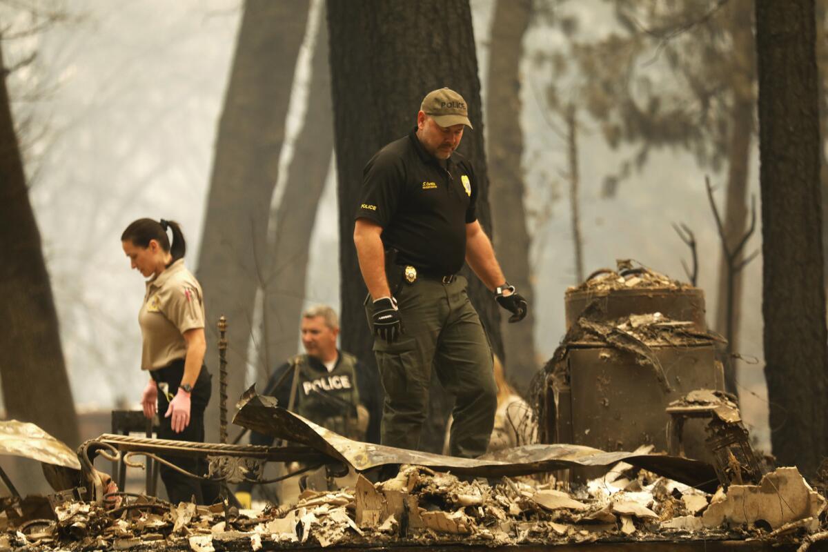
The grim search for victims of California’s deadliest fire continued Wednesday as firefighters made progress in containing the Camp fire that burned the town of Paradise.
The fire has killed at least 48 people, destroyed more than 8,000 structures and scorched 135,000 acres in Butte County. It was 35% contained as of Wednesday morning, according to California Department of Forestry and Fire Protection officials.
Six arrested on suspicion of looting homes in evacuated areas of Butte County
Six people have been arrested this week on suspicion of looting in areas of Butte County that had been evacuated for the Camp fire, officials said.
Those arrested are Jason Burns, 41, of Chico; Michael Salisbury, 48, of Reno; Teddy King, 27, of Paradise; John Brown, 38, of Oroville; Shayne Tinnel Jr., 22, of Magalia; and Tracy Sizer, 42, of Magalia, according to the Butte County Sheriff’s Office.
Burns and Salisbury were arrested Monday afternoon after a Pacific Gas & Electric Co. employee notified patrolling deputies he had seen two men who appeared to be looting in the area of Butte Creek Canyon. Deputies found the men hiding inside a home.
Deputies later determined the home belonged to one of Burns’ family members, who had evacuated and was not aware the two men were in the house.
Deputies found a .45-caliber handgun, methamphetamine, heroin, drug paraphernalia and loaded magazines for the weapon inside the house. Deputies also found an AR-15 rifle, several chainsaws and other tools they think were stolen.
Outside, an ATV vehicle that had been reported stolen was found.
The handgun was registered to the owner of another home that had been evacuated in Paradise.
Burns and Salisbury were booked into the Butte County Jail on suspicion of several crimes, including felony possession of a firearm, possession of a controlled substance while armed and possession of a stolen vehicle. Their bail is set at $89,000.
Authorities are still investigating the stolen property.
At 5:30 a.m. Tuesday, Butte County deputies stopped two men — King and Brown — on a bike path in an area under evacuation. The men had a laptop that didn’t belong to them, a ski mask, drugs and drug paraphernalia, the Sheriff’s Office said.
Both were booked into the Butte County Jail for possession of a controlled substance and drug paraphernalia.
Later that morning, sheriff’s deputies spotted a motor home that had been reported stolen from Magalia, an area under evacuation.
Tinnel and Sizer were arrested in a traffic stop on suspicion of vehicle theft and looting. Deputies said the RV didn’t have a key in the ignition, which was damaged.
Camp fire burns 135,000 acres with 35% containment
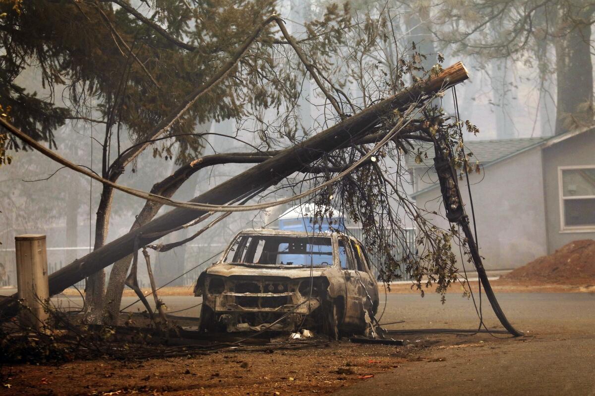
The Camp fire has scorched 135,000 acres in Butte County and was 35% contained as of Wednesday morning, according to California Department of Forestry and Fire Protection officials.
Firefighters will continue to strengthen containment lines throughout the day and keep an eye out for hot spots in those areas. Air tankers prepared to drop retardant in the fire’s path to impede its progress, officials said.
The inferno has ravaged the region for nearly a week, killing at least 48 people and destroying more than 7,600 homes. The fire is the deadliest and most destructive in California history.
Sierra fire grows to 147 acres overnight with 75% containment in Rialto amid gusty winds
A brush fire that erupted late Tuesday in Rialto near the Fontana city limits grew to 147 acres overnight amid relentless winds, fire officials said Wednesday.
Despite Santa Ana winds that brought gusts of up to 50 mph in the area, San Bernardino County firefighters said they made good progress getting a handle on the blaze overnight. The fire is 75% contained. Crews will remain in the area constructing and reinforcing containment lines and extinguishing hot spots.
Pepperdine University defends ‘shelter in place’ decision during Woolsey fire
Officials at Pepperdine University are taking heat for their decision to shelter more than a thousand students on campus last week, even as the Woolsey fire swept across Malibu and prompted authorities to order an all-out evacuation of the city.
At a community meeting on Sunday, some residents complained that the university’s action caused firefighting resources to be diverted from other parts of the city to defend the school against flames. The angry claims have already triggered calls for a reassessment of the university’s decades-old policy and — in the eyes of some — have damaged the institution’s longstanding reputation for goodwill.
“Why were they allowed to stay there at all?” one woman asked pointedly during the meeting. “They should have been evacuated like everyone else.”
Tense moments as Malibu’s addiction centers evacuate clients with flames approaching
From their perch atop Trancas Canyon, straddling the Ventura-Los Angeles county line, the staff at Creative Care addiction treatment center could see signs of the large fire building Thursday.
But by early Friday morning, the frantic warnings from neighbors and the thickening smoke made the threat clear: Their 35 clients, in the process of supervised addiction recovery, and their caregivers, would have to leave.
The group packed bags, gathered critical medicine and tended to horses used for equine therapy. And then they all made a slow journey past the smoke and fire engines and down a jammed Pacific Coast Highway, the poor cellphone service and closed gas stations making the exodus even more perilous.
Residents who lost homes in Camp fire sue PG&E
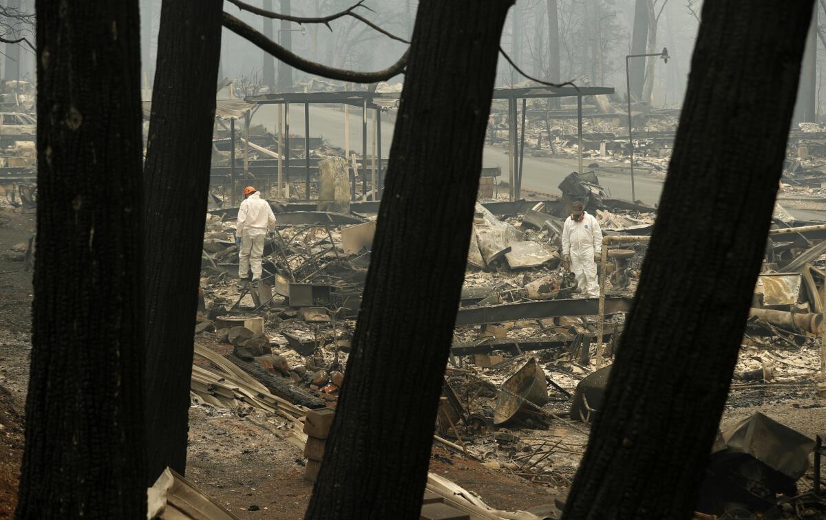
People who lost homes in California’s deadliest and most destructive wildfire sued Pacific Gas & Electric Co. on Tuesday, accusing the utility of negligence and blaming it for the fire.
PG&E did not maintain its infrastructure and failed to properly inspect and manage its power transmission lines, according to the lawsuit filed in state court by more than two dozen fire victims.
The fire, which has killed at least 48 people and devastated the Northern California town of Paradise, was a “direct and legal result of the negligence, carelessness, recklessness, and/or unlawfulness” of PG&E, the lawsuit said. The lawsuit seeks compensation for the plaintiffs’ losses and unspecified damages.
An email to PG&E was not immediately returned.
Officials have not determined the cause of the Camp fire.
PG&E told state regulators last week that it experienced a problem on a transmission line in the area of the fire just before the blaze erupted. In its filing Thursday with the state Public Utilities Commission, the utility said it had detected an outage on an electrical transmission line. It said a subsequent aerial inspection detected damage to a transmission tower on the line.
Betsy Ann Cowley, a landowner near where the blaze began, said PG&E notified her the day before the blaze that crews needed to come onto her property because the utility’s wires were sparking.
PG&E President Geisha Williams told the Chico Enterprise-Record on Tuesday that it was too soon to determine if sparks from a transmission line ignited the fire.
She said the sparks are one of several options investigators are reviewing.
The fire has charred about 200 square miles, but officials said crews were able to keep it from advancing toward Oroville, a town of about 19,000 people. It has destroyed about 7,700 homes.
Death toll rises to 48 in Paradise
The number of deaths from California’s worst fire rose to 48 Tuesday as authorities and family members mounted desperate searches for the hundreds still missing.
The Camp fire has scorched 130,000 acres since Thursday, ripping through mountain towns in Butte County. More than 8,800 structures — mostly homes in Paradise — were leveled as the blaze charred the region.
Thousand Oaks declares state of emergency amid fires
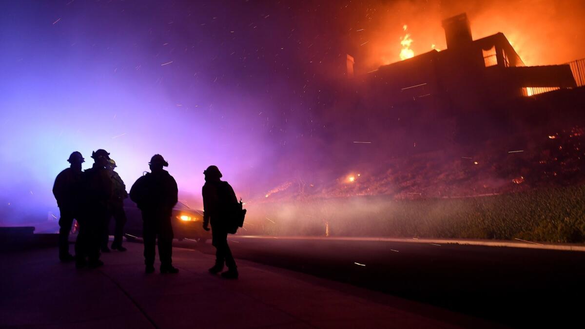
The Thousand Oaks City Council voted to declare a state of emergency Tuesday because of fires that burned hillsides and homes in the city last week.
Shortly after the Hill and Woolsey fires broke out Thursday, the city manager announced a state of emergency, which allows the city to seek state and federal financial assistance in dealing with the fires.
But the City Council must vote to approve the declaration for it to remain in effect. During a special meeting Tuesday evening, the council unanimously voted to approve the declaration and to return within 30 days to determine whether it needs to be continued.
“Given that the city is still experiencing fires within the jurisdiction and that we’re at the beginning of recovery, staff believes the emergency still exists,” City Atty. Tracy Noonan said at the meeting.
The Woolsey fire began in the Simi Hills northeast of Thousand Oaks, but fierce winds spread it to various parts of the city and eventually far beyond to Malibu.
At one point last week, 75% of Thousand Oaks residents were evacuated. Though all evacuation orders in the city have since been lifted, the Woolsey fire continues to spread and is only 35% contained as of Tuesday.
People filtering into the meeting asked one another about evacuations and where they slept after they fled from fires. They traded news about fires still popping up amid the dry conditions. One man said four houses on his street burned down, but his home was safe.
At the beginning of the meeting, Mayor Andrew Fox also asked that every one take a moment to remember the the victims of the Borderline shooting, in which 12 people were gunned down in a bar in the city last week. His city had been hit with “unspeakable tragedies” in one week, he said.
“There’s never been a more personal moment of silence for me,” Fox said.
Malibu lifts some mandatory evacuation orders
Malibu has lifted some of its mandatory evacuation orders as firefighters make progress with the Woolsey fire.
Residents who live between Coastline and Carbon Mesa Road and from the ocean to the northern city limits (with some exceptions) will be allowed entry with proper I.D.
According to the city, residents in the following neighborhoods will be granted access with valid I.D.:
• West of Coastline Drive
• East of Carbon Mesa Road
• From the ocean to the northern Malibu city limits (between Coastline and Carbon Mesa Road) with the following exceptions:
o Full closure at Tuna Canyon Road and Pacific Coast Highway
o Full closure on Rambla Pacifico Drive 400 meters north of Pacific Coast Highway (at the tennis courts)
Los Angeles County sheriff’s personnel will be maintaining a checkpoint at PCH just north of Coastline Drive in the unincorporated area of Los Angeles County. Only residents of the repopulated areas in the city of Malibu will be permitted to enter this area and they must provide proper I.D. Employees of Malibu businesses will not be allowed access.
Evacuation orders remain in effect for all other neighborhoods of Malibu.
Confusion marks the search for the missing in Paradise
The Camp fire displaced tens of thousands of people, some of whom headed to the region’s hotels. But complicating the search for family members and friends, the listed phone numbers for some hotels weren’t working.
The Red Cross shelter at Bidwell Junior High School in Chico had a sign on the wall listing three numbers for people to call to report missing persons. All three numbers went to voicemail when a reporter tried to call Tuesday.
Red Cross volunteers also handed out forms at its Chico shelters for people to fill out and declare that they were OK as part of the agency’s Safe and Well program.
In hundreds of handwritten notes, families look for Paradise residents still missing after fires
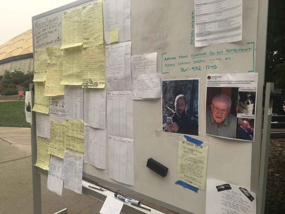
At Chico’s Neighborhood Church, hundreds of handwritten names are listed on a board, a makeshift information center for anxious relatives and friends to find one another.
The board, at a Red Cross shelter, is a throwback to the era before Facebook and Twitter. On white and yellow lined paper, friends and relatives write down the names of the missing, their relationship to the person, and a contact number. Photos and personal messages are also posted.
“I love you” was written next to the name “John Sedwick.” A man left a message for Mary Cory: “I’m OK, don’t worry about me.” He said he was headed to Yuba City and left a gmail address.
Paradise resident Jayne Keith lost her house in the blaze and came to the shelter Tuesday to get dog food, blankets and pajamas. She was staying with family members at a hotel in Red Bluff.
Keith peered at the board and wrote down the phone number of someone looking for a woman named Barbara Hayes. A woman with the last name “Hayes” was staying down the road from Keith’s hotel. Keith paused, fretting about the last name. “I think it’s spelled differently. I don’t know if it’s the same woman.”
Paradise resident Greg Gibson looked over the board to see if there was any news of his neighbors, whom he knew only by their last name, Machuga. The couple are in their 60s, he said, and lived in an A-frame house. “Very nice people.”
One man stared at the list, frustrated. He wanted to know who was staying at the Red Cross shelter at the church, but no one was able to tell him that information. He was accompanied by a woman looking for her brother; both declined to give their names.
“We’d like a list of who is here,” he said. This is ‘looking for.’ ”
About a dozen names were listed on a board at another Red Cross facility, at Bidwell Junior High School in Chico. There too were personal, urgent notes. A woman was looking for her mother, Joanne Caddy. “Needs heart medicine and a pacemaker,” her daughter wrote.
Desperately searching for his brother in Paradise, he tries to stay hopeful as the days pass
Over the last several days, Blake Bellairs, 36, has been searching for his younger brother, Josh.
Bellairs and his girlfriend drove down from Medford, Ore., on Monday night to pick up his mother and stepfather, residents of Paradise who lost everything in the fire. Finding Josh, 32, hasn’t been so easy.
Bellairs has tried calling the local jails and authorities as well as TV stations and has scoured social media for mentions of his brother. He has called his brother’s friends and former girlfriends. One friend heard that Josh got a ride through nearby Magalia, but who knows?
This morning, Bellairs bought glass chalk from Walmart and wrote “Missing Josh Bellairs” all over his black Ford pickup truck, along with his phone number.
Although Bellairs hasn’t spoken to his brother in years, he said his stepfather and mother keep in sporadic touch with Josh, who recently had fallen on rough times and was moving from place to place.
“I just want to know he’s alright,” Bellairs said, standing near his truck Tuesday afternoon with tears in his eyes. Bellairs’ stepfather and mother have lived in Paradise for 40 years and lost everything except for a single bag of belongings.
Bellairs, his stepfather, mother and girlfriend are staying at a local shelter, but won’t be in the area for much longer. His stepfather has health issues and they can’t stay in the cold much longer.
“We’re trying to hold out,” Bellairs said.
For now, Bellairs and his family are trying to avoid thinking the worst. Maybe, Josh got out in time and is camping out somewhere. Maybe, he simply doesn’t have cell service. As the days pass, there’s a creeping suspicion that Josh didn’t have enough warning to get out.
“That’s the fear,” said their stepfather, Charles Deaderick, 67. “That he didn’t find out in time.”
In the shadow of Paradise devastation, some small-town residents feel forgotten
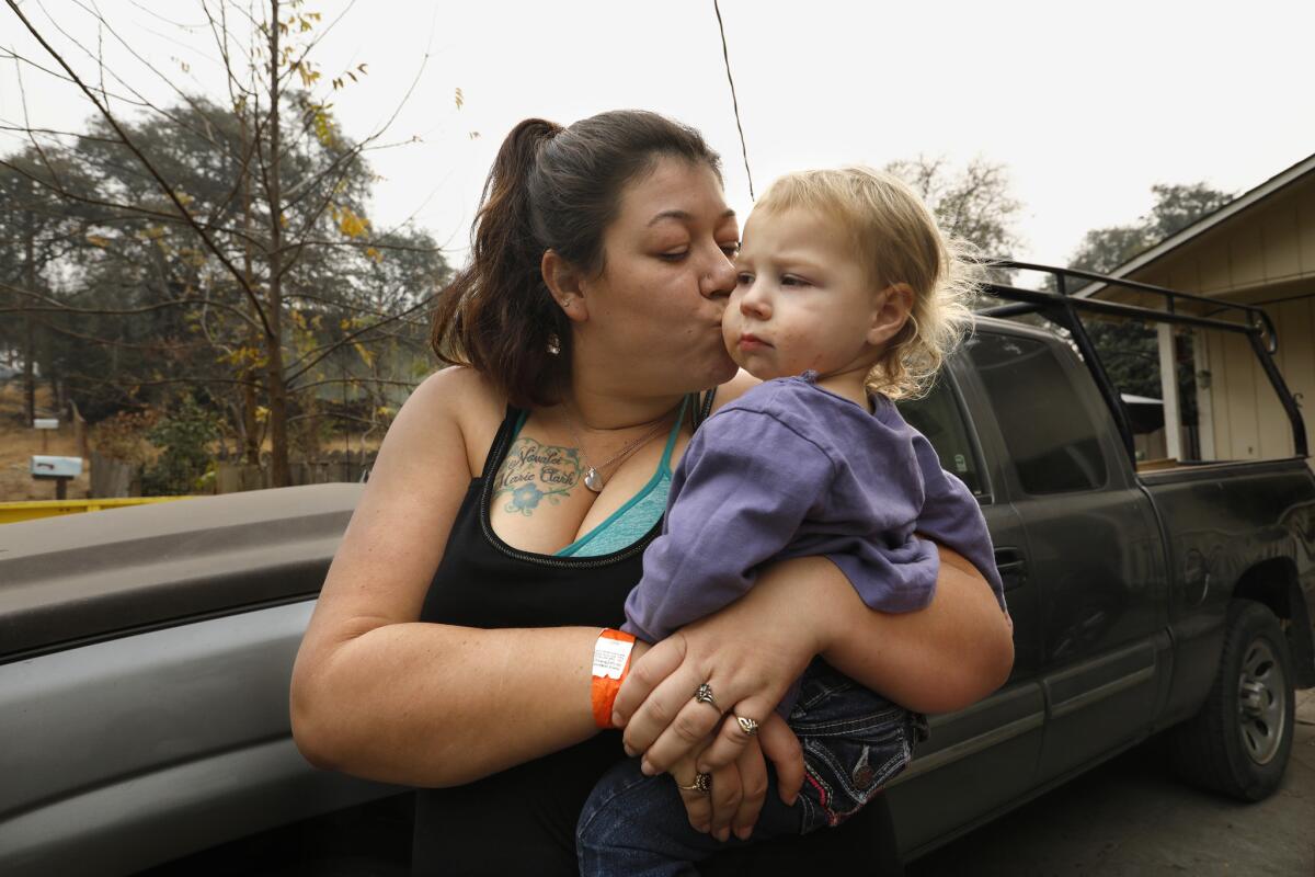
Megan Butler, 26, is the cousin of Chaz Gramps, whose estranged family is trying to find him. They don’t talk, but she did want to know he was OK.
She and other family members have been following Facebook posts on him.
Butler is from the tiny town of Concow, Calif., population 710, and was staying at her mom’s house in Oroville on Tuesday with her two young daughters, Novalei, 5, and Aurora, 2.
Butler and her husband and girls lived in a 2-bedroom modular house with a big wraparound deck and a beautiful yard on Big Bend Road, where they’d moved about a year ago. They had just built a huge chicken coop.
They were renting but planned to buy the house in March, she said.
On Thursday, when the Camp fire started, Megan took Novalei to Concow Elementary School, where she had just started Kindergarten. When they got there, the school had no power and staff told her it was being evacuated. Smoke filled the air.
From the school, she could tell that the Concow property where her uncle and grandmother lived on Jordan Hill Road was probably in the path of the fire.
“From the school, I could tell the fire was there at their house,” she said. “I know the mountain. So I was freaking out. I was like, I need to go over there, but I have my 5-year-old with me.”
She couldn’t get a hold of her grandma, and though she wanted to stop by, she knew she couldn’t with her daughter being with her. So, they went home and packed. Novalei grabbed clothes. Aurora started putting baby doll toys in trash bags. They drove out even though they hadn’t gotten evacuation orders.
On Friday afternoon, she went up with relatives in a four-wheel-drive vehicle to see her house.
It’s gone. Parts of it were still aflame.
Her grandmother’s house is gone, too.
Megan’s family has lived in Concow, an unincorporated mountain community, for generations. Both her mom and grandma went to Concow Elementary.
She grew up in her grandma’s house — the kind of place where she always felt welcome and had lived many times when she was trying to find places to rent.
“I don’t think I’m going to get to go back to Concow,” she said.
“There’s nothing up there for me right now.”
She paused, taking a breath.
“This is really starting to upset me. I was close to my grandma’s house more than mine. I hadn’t lived there that long. But my grandma’s has been there my entire life. Right there. All my dogs are buried there. It’s everything. My kids had rooms there. It just really sucks.”
Megan said she was sad and angry that the fate of the small towns in the area seems to have been forgotten amid the devastation in Paradise.
“It feels like we are being ignored. Completely ignored. Maybe it’s just a lot of confused people or maybe because we’re so close to Paradise they consider it all the same,” she said.
“But it’s Concow. It’s my home. It’s my community. When you’re in Concow, everybody smiles and waves whether you know them or not.”
On social media, she said, some residents are saying they’re going to rebuild. Others are frustrated they aren’t hearing more about the town in the news. Some think the worst — that firefighters let it burn because Paradise was the bigger concern.
Butler said she and her husband have disagreed about whether to rebuild. He wants to. She doesn’t. It wouldn’t be a good environment for the girls, she said, starting over from that kind of devastation.
Novalei, she said, has been crying for days. She wants to go home.
Destroyed Peter Strauss Ranch shows intensity of Woolsey fire
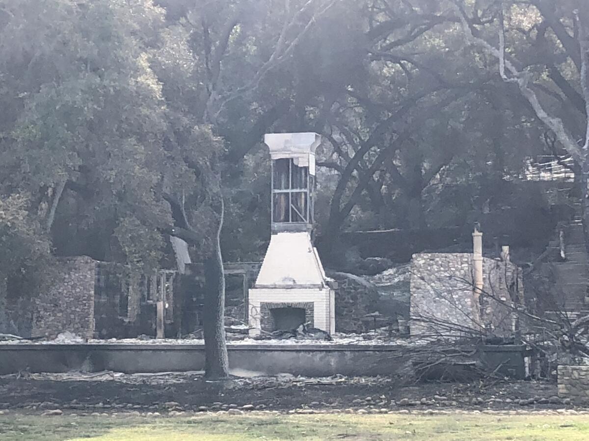
All that remains of the the Peter Strauss Ranch — once a magnificent symbol of the West — is charred remnants.
The ranch once had a swimming pool and amphitheater and featured performances by country stars Johnny Cash and Willie Nelson.
The Woolsey fire left behind a white central chimney and stone walls. Nearby, a white chair sits alone beneath a tree.
The destruction of the Mulholland Highway Bridge, which sits across from the Peter Strauss Ranch, reveals just how intense the flames were when they swept across the small community of Cornell, an unincorporated enclave in the Santa Monica Mountains.
Its tarmac is buckled and there are gaping holes in the wood support beams.
The fire was also indiscriminate.
The Old Place, a favorite bar and eatery made of wood, amazingly survived, though it was just yards from the fire-wrecked bridge.
Less than 12 hours after returning home, Lake Sherwood resident evacuates again
This billionaire’s yacht is helping victims of the Woolsey fire get supplies they need
It’s a quintessential Southern California rescue effort involving a yacht, a billionaire and surfers.
Howard Leight, a winery owner, has lent his yacht to volunteers who are delivering donated supplies to victims of the Woolsey fire.
On Tuesday morning, several people loaded the 150-foot Leight Star with water bottles, snacks, dog food, gas and other necessities before making their way to Paradise Cove.
Smaller boats were tied behind the yacht to help offload supplies. When the Leight Star neared the Paradise Cove coast, surfers swam toward the boat to help deliver the supplies.
Leight is an entrepreneur who owns the Malibu Rocky Oaks winery that sits in the Santa Monica Mountains. The Woolsey fire has destroyed much of his vineyard. He spent Friday night trying to save it and two of his homes. When he was done, he felt it was time to give back.
“There’s been so much confusion,” said Bill Kerbox, a friend of Leight’s, to the group of volunteers as they began their journey. “We need to get out on social media that supplies are going to start be unloaded in a little over an hour at Paradise Cove.”
The group is using the hashtag #malibuhope to notify people of their efforts.
When the yacht arrived at Paradise Cove, authorities on a sheriff’s boat warned the volunteers not to go on shore.
“If we’re not letting people in by land, we’re not letting them in by sea,” the deputy told the frustrated boaters.
Surfers lingered nearby and before long started loading supplies onto their boards.
Several others used smaller boats to get around road closures and hazards and transport donations to Malibu communities in need.
Officials say flare-up from Woolsey fire not an imminent threat
Fire officials say a flare-up from the Woolsey fire that broke out Tuesday morning does not pose an imminent threat.
The new fire, which sent thick plumes of smoke into the air, occurred in the overall fire perimeter in Boney Mountain, according to Ventura County Fire Capt. Stan Ziegler. The spot fire measures several hundred acres and is burning north and west of Malibu Canyon.
Residents of Hidden Valley and Lake Sherwood already had been evacuated, and the blaze was far from any homes.
“It looks scary, but it’s not an imminent threat,” Ziegler said.
The flare-up was burning into the scar of the 2013 Springs fire and also hitting patches of rocks in the mountains.
A caravan of helicopters was dumping water from Lake Sherwood onto the blaze, and tankers were painting the mountain ridges purple with fire retardant.
Still, the flames were seizing on dry fuel that had not burned in 50 to 60 years, Ziegler said. The blaze sent up periodic columns of smoke that were visible for miles.
Such flare-ups are expected within the wider Woolsey fire burn area because untouched pockets of brush are scattered across the fire’s boundary.
Las Virgenes water district declares state of emergency, reduces bills in Woolsey fire area
Las Virgenes Municipal Water District declared a state of emergency after several of its facilities were damaged by the Woolsey fire, officials said Tuesday.
Several of the district’s major facilities were damaged, including the Rancho Las Virgenes composting facility and the Westlake filtration plant, the district said in a statement.
Las Virgenes Municipal Water District serves more than 65,000 residents in the cities of Agoura Hills, Calabasas, Hidden Hills, Westlake Village and unincorporated areas of western Los Angeles County.
The entire service area experienced power outages, and emergency generators were used to keep critical pumps running, the water district said.
“Our water system performed exceptionally well under tremendous demand, while supporting the aggressive firefighting efforts throughout the service area,” said David Lippman, director of facilities and operations. “However, we did experience some localized water outages and low pressure due to water main breaks and leaks from homes that were destroyed by the fire.”
Over the weekend, 500 customers were instructed to boil their water before drinking it or using it to cook, or to use bottled water because firefighting efforts caused a significant loss of pressure within the water systems. That could lead to increased bacteria in the water, officials said.
The emergency declaration approved Tuesday will allow staff to obtain necessary equipment and hire contractors to repair critical water and wastewater facilities damaged by the fire.
The district is also waiving water and wastewater charges for the billing period during which a home was destroyed or rendered uninhabitable because of the fire, and it reduced bills for customers who used more water to protect their properties.
Woolsey fire temporarily shuts down many Ventura County schools
Thanksgiving break came early for thousands of students in California, but the days off were no cause for celebration. Three school districts in Ventura County have closed to make repairs and clean up after the Woolsey fire swept through the area.
No public school campus was directly hit, but a deluge of ashes and smoke raised health concerns — and caused a mess.
Ilan Ramon Day School, a private Jewish school in Agoura Hills, in the path of the fire, lost part of its campus.
Firefighters confident residents are safe from flare-up in Carlisle Canyon – but that could change
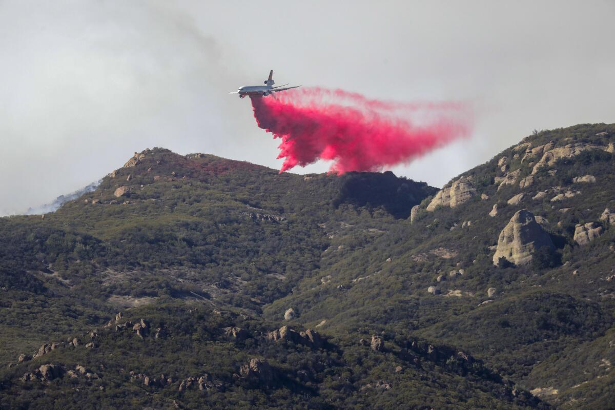
Officials said Tuesday they are continuing to get an upper hand on the Woolsey fire but warned that high winds will persist overnight.
Strong winds ignited a spot fire in the steep geography in Carlisle Canyon on Tuesday morning. The blaze spread upward toward Boney Peak, producing a large smoke plume that could be seen for miles.
Ventura County Fire Chief Mark Lorenzen said he was confident that residents near the newly burned area near Lake Sherwood are safe.
“The wind is currently pushing the fire up and away from the populated areas,” he said.
But he said that with high winds expected through the night, residents need to stay vigilant.
“We are not out of the woods yet. We still have some incredibly tough conditions ahead of us,” he said.
The flare-up that sparked Tuesday is burning west toward an area that was scorched in the 2013 Springs fire. That will help firefighters, Lorenzen said, because the new growth will be younger and easier to control.
Daryl Osby, the Los Angeles County Fire Department’s chief, said rainfall is expected next week, which also could help the firefight. But firefighters are simultaneously preparing for potentially disastrous mudflows that could come with the rain falling on recently burned areas.
‘This street just got annihilated’: Residents return to Westlake Village to find homes in charred ruins
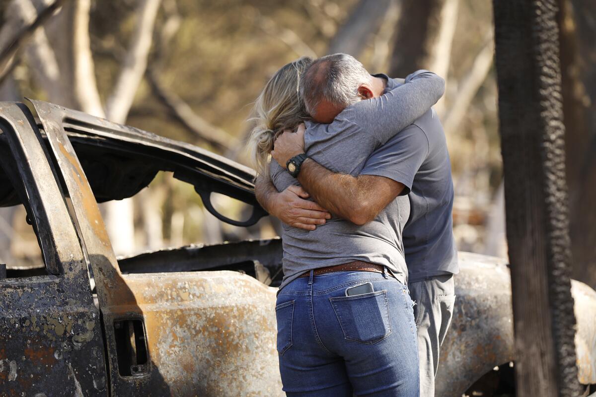
“We lost everything,” said Rachel Bailey after she stepped out of her Volvo SUV and saw what was left of her family’s four-bedroom home.
Bailey and her partner, David Carr, were vacationing in Mexico when the Woolsey fire broke out. They flew back Monday to see what was left of their street in the Oak Forest Mobile Estates in Westlake Village.
Home after home in Bailey’s pocket in the canyon was leveled.
“This street just got annihilated,” Bailey said.
Bailey and Carr’s home was a pile of rubble, with charred appliances, some mattresses and the blackened metal frames of a couch and patio chair.
“Well, the yard’s bigger now,” Carr joked, standing above the exposed steel beams of the soot-covered foundation.
Bailey rummaged through the remnants and found an ashy metal case that once held colored pencils, along with a ceramic piggy bank. Burned pages of a “Harry Potter” book were scattered about.
But so much more had been lost.
Carr, a lifeguard, lost his collection of vintage surfboards, which were melted into a pile of fiberglass. His truck was a burned-out husk of metal. Six bikes and his scuba gear were all gone.
For Bailey, it was the love letters to Carr, a man she has known since she was 13 and with whom she reconnected later in life. The letters were now gone, along with the rest of the house.
It was a neighborhood with young families in their first homes. In a region populated by celebrities and business titans, this pocket of mobile homes was middle class.
Bailey said she has been humbled these last few days. The bartender at their hotel last night recounted how his partner recently had a heart attack. In Mexico, people spoke of the hurricane’s devastation.
“It’s humbling to take a step back. This pain is real, but other people experience pain too — it’s part of life,” she said.
While in Mexico, the couple waited anxiously for updates on the fire. Bailey checked her Nest camera, but the service dropped before any fire was visible. She watched TV helicopter cameras showing the ridge of homes above her neighborhood. Finally she found a video on Twitter showing her house in flames, the truck burning in the carport.
On Tuesday, she and Carr saw the destruction in person for the first time.
They moved into the home in February and initially struggled to get fire insurance. They loved the neighborhood, a secluded cluster of homes in a canyon ensconced by dozens of oak trees, giving shade and privacy.
“It was the most magical street — so much shade. The treehouse was right here,” Bailey said, pointing to a charred oak.
“I’m sorry,” Carr said, apologizing for having not been there to save the house. “I loved this house.”
Bailey comforted him, telling him: “There’s nothing you could have done.”
“We’ll rebuild,” she said. “We’ll do it again.”
In Malibu, supplies arrive by boat as the Woolsey fire continues to burn

As the Woolsey fire continues to burn, supplies are arriving by boat in Malibu.
Watch as crews fight the Woolsey fire from above Westlake Village

Tanker aircraft fight the Woolsey fire from above in Westlake Village.
Woolsey fire is among largest on record in Los Angeles County
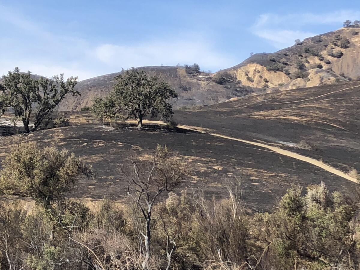
Los Angeles County Fire Chief Daryl Osby said the Woolsey fire is among the largest blazes on record in the county dating back 100 years. The fire has torn through almost 150 square miles of the county land, from Bell Canyon to the Pacific Ocean in Malibu.
The devastation in Malibu Creek State Park is extensive.
Much of the landscape is charred black, although the campground and parking lots remain intact. The fire swept through the area at tremendous speed, turning much in its path into ash.
On Tuesday, fire crews continued to battle the burn area just southwest of the park. Smoke billowed over the hills southwest of the junction at Malibu Canyon Road and Piuma Road.
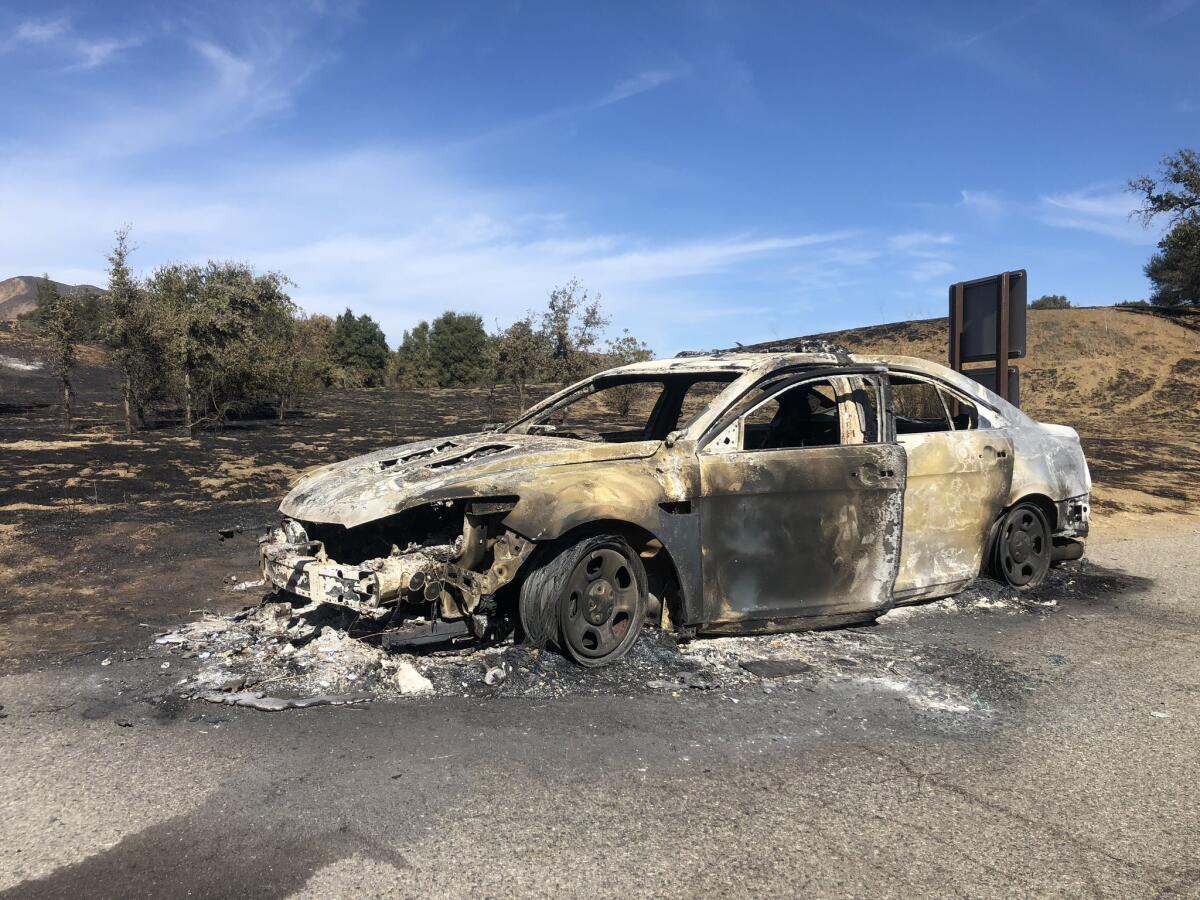
California attorney general asks public to report price gouging in fire areas
In stunning loss, 83% of Santa Monica Mountains federal parkland burned in Woolsey fire
The Woolsey fire burned about 83% of national park land in the Santa Monica Mountains National Recreation Area, a stunning loss of a cherished open space area for Southern California.
The Santa Monica Mountains, which stretch from Hollywood Hills to Point Mugu in Ventura County, have long offered Southern Californians a respite from the city below with the range’s array of hiking trails, waterfalls and rock pools. And its sprawling ranch land has given Hollywood real-world ties to the frontier life it exhaustively depicted on screen.
The Woolsey fire destroyed more than 400 structures but also took a deep toll on landmark areas of the mountain areas.
Wildfires decimated the historic park tucked inside the Santa Monica Mountains a day earlier — taking with it markers of its proud past as a backdrop for television shows and movies such as “Planet of the Apes.”
Flames consumed the set of the long-running TV series “MASH.” The same went for the Reagan Ranch, named after the former president and actor who used to own one of three parcels that comprise the 44-year-old park’s footprint along with Bob Hope and 20th Century Fox. About two miles west saw the destruction of the Peter Strauss Ranch, named after an Emmy Award-winning actor. The ranch featured a swimming pool and amphitheater and was the site of art exhibits and performances by country stars Johnny Cash and Willie Nelson. All that remained of the ranch house was a few stone walls and a chimney.
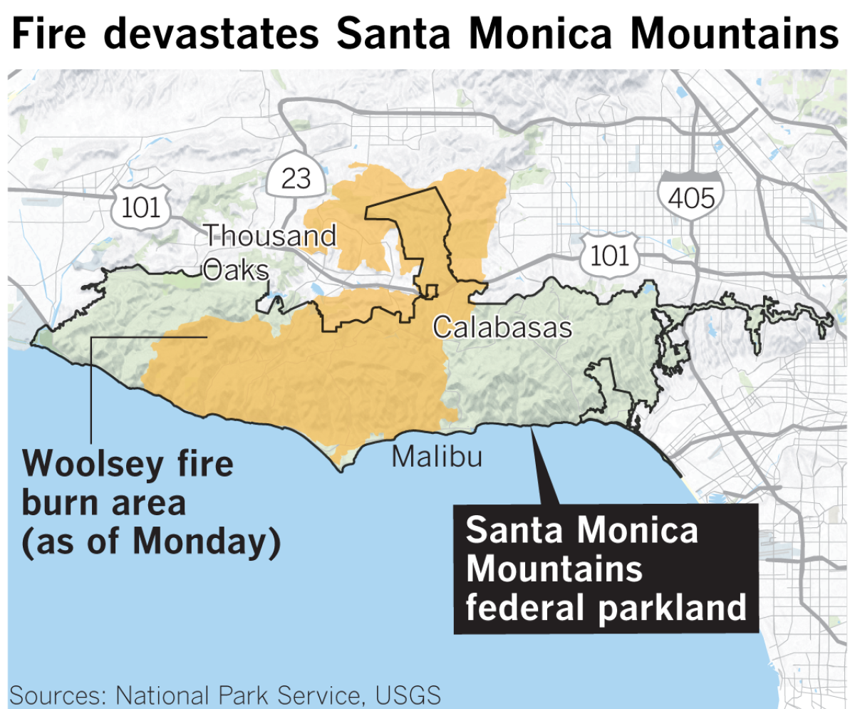
Public access to the mountain range has been hard fought. It was propelled by the establishment of the Santa Monica Mountains Conservancy in 1980 by the state. Funded with bond measures and led by an ambitious executive director, Joe Edmiston, the agency has preserved tens of thousands of acres of land along the range.
The powerful group has also advocated against too much residential development. Last year, Edmiston called for the limiting of recovery funds for rebuilding homes in fire-prone areas. (Anyone who thinks it’s easy to build a new house in the mountains should consider the plight of U2 guitarist David Evans, a.k.a. the Edge, who has been trying since 2005 to erect his dream home on a barren vista called Seawater Mesa.)
Read more about the losses here
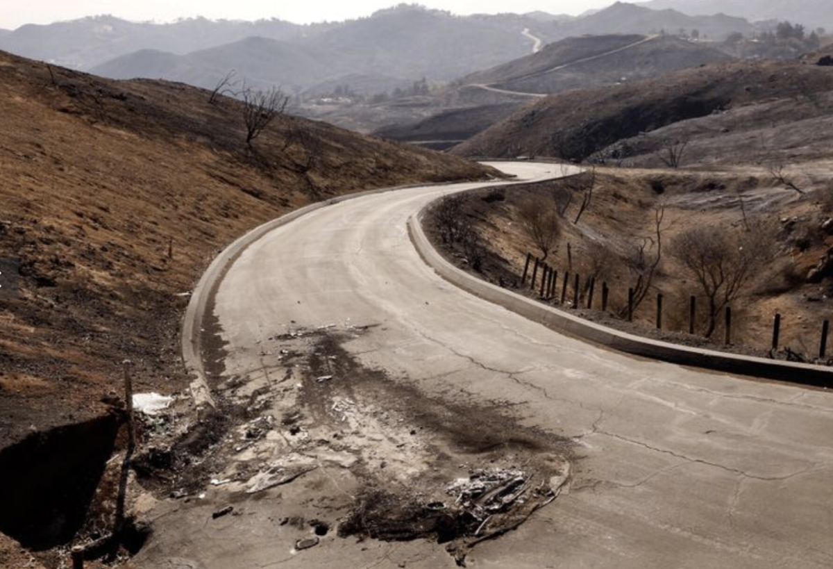
Here’s how to find an evacuation center near you
Trump approves major disaster declaration for California wildfires
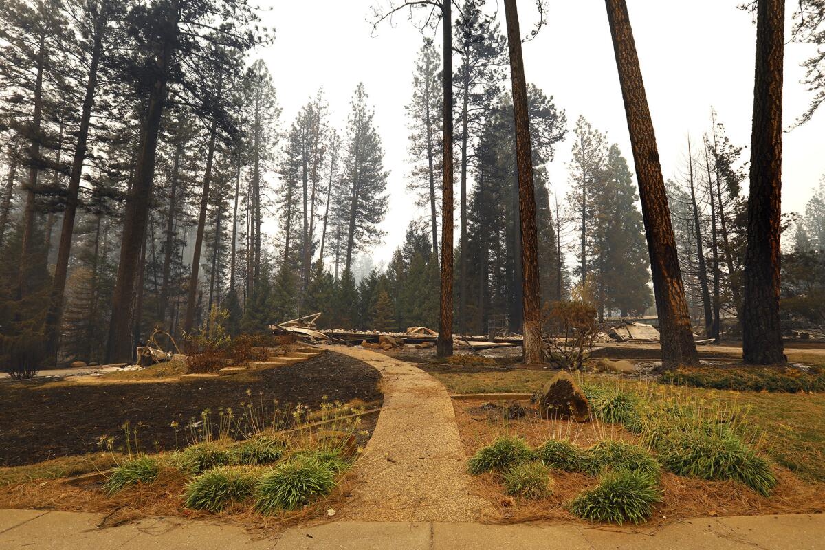
President Trump approved a disaster declaration for California, making federal funding available for the recovery efforts of Butte, Los Angeles and Ventura counties after the disastrous Camp and Woolsey fires scorched hundreds of homes.
The Camp fire destroyed the town of Paradise in Butte County, burning through 125,000 acres and more than 6,500 homes, according to Cal Fire. In Southern California, the Woolsey fire has grown to 96, 314 acres and destroyed 435 structures.
Federal Emergency Management Agency said in a statement Tuesday that federal funding can include grants for temporary housing and home repairs and low-cost loans to cover uninsured property losses.
“Federal funding is also available to the state, tribal, local governments and certain private nonprofit organizations on a cost-sharing basis for emergency work in Butte, Los Angeles, and Ventura counties,” FEMA said.
Business and home owners can apply for assistance by registering online at www.DisasterAssistance.gov or calling 1-800-621- 3362 between 7 a.m. and 10 p.m.
Hill fire near full containment
The Hill fire, the smaller of two blazes burning in Ventura County, is nearly under control at 90% containment, officials with the California Department of Forestry and Fire Protection said Tuesday.
Burning through 4,531 acres, the Hill fire has been far less destructive, destroying two structures compared to the more than 400 structures the Woolsey fire has scorched.
Wife frantically searches for disabled husband missing in Camp fire
Teresa Moniz’s hand shook Monday as she added her husband’s name — “Albert Moniz, aka Pete” — to a list of missing persons taped to a board at the Neighborhood Church in Chico.
She was in nearby Magalia on Thursday when her husband called from home, saying, “There’s a fire; I have to get out,” she recalled, her eyes filling with tears.
He called again from a friend’s house, but that was the last time she heard from him.
Woolsey fire chars 96,314 acres with 35% containment
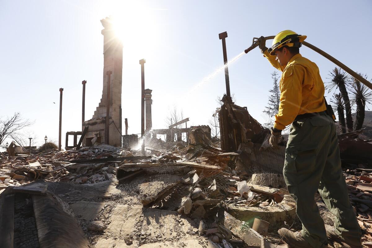
The Woolsey fire has scorched 96,314 acres in Los Angeles and Ventura counties and was 35% contained as of Tuesday morning, according to California Department of Forestry and Fire Protection officials.
The boost in containment overnight comes as firefighters prepare for the second consecutive day of Santa Ana winds.
Northeast winds are expected to blow 20 to 30 mph with gusts up to 55 mph in Los Angeles, according to the National Weather Service.
Cal Fire officials estimate about 435 structures have been destroyed in the blaze. Two people have been killed.
Camp fire burns 125,000 acres with 30% containment
The Camp fire has scorched 125,000 aces in Butte County and was 30% contained as of Tuesday morning, according to California Department of Forestry and Fire Protection officials.
Milder winds on Monday allowed firefighters to hold established containment lines and advance against the blaze, according to fire officials.
The inferno has ravaged the region since Thursday, killing at least 42 people and destroying more than 6,500 homes. The blaze is now the deadliest and most destructive fire in California history.
Officials said they recovered the remains of additional victims Monday as teams continued to search the burned-out ruins of thousands of homes. Ten of those victims were found in Paradise and three in the Concow area.
Paradise requests mobile morgues, 150 more searchers and a rapid DNA ID system, as deaths mount from fire
Anthropologists from Cal State Chico and the University of Nevada, Reno with expertise in identifying human remains were helping in the grim search effort into mass casualties in Paradise, where at least 42 have died in California’s worst fire.
In addition, the Butte County Sheriff’s Department has requested 150 additional search and recovery workers, two military mobile morgues and a rapid DNA identification system.
One search crew checking addresses of people reported missing found a body on the front steps of a burned-out trailer in the Ridgewood Mobile Home Park. Team members spent the rest of the day picking their way through debris, turning over metal frames and shattered furniture.
By the time the hearse arrived, the body was in a blue bag. Victims’ remains were found in cars and homes, in Paradise and surrounding communities, authorities said.
“If you’ve been up there you understand the magnitude of the scene we’re dealing with,” Butte County Sheriff Kory Honea said at a news conference Monday night.
Other teams brought cadaver dogs to search neighborhoods with no particular addresses or individuals in mind. At a home on Fawndale Road, a crew collected the remains of a family pet in sandwich-sized blue bags.
Mandatory evacuations lifted in Bell Canyon area of Ventura County
Mandatory evacuations in connection with the Woolsey fire have been lifted in Bell Canyon, the Ventura County Sheriff’s Office said Tuesday morning.
There are extensive power outages in the area, and officials are asking residents to use caution when returning to their residences.
For updates on other mandatory evacuations, visit www.vcemergency.com.
UC Davis and Sacramento State cancel classes because of poor air quality
Classes at UC Davis and Sacramento State University were canceled Tuesday because of poor air quality caused by the Camp fire, which has burned 117,000 acres in Butte County.
UC Davis officials wrote on Twitter that the campus will remain open, but classes will not be in session. Sacramento State’s campus will be closed.
The Camp fire, which has killed 42 people, is the deadliest fire in California history.
Smoke from the blaze, which has been pouring into the Sacramento area since it began on Thursday, has pushed the region’s air quality into the unhealthy zone on the Environmental Protection Agency’s index.
This means that people with heart or lung disease, older adults and children should avoid prolonged or heavy exertion outside, while everyone else should reduce outdoor activities.
All evacuations lifted in city of Los Angeles
‘It was like a monster was coming’: 70-year-old man saves his house on his own as fire races in
With three hoses, a few bandanas, a bottle of eye drops, and pure grit, Ali Zadeh single-handedly defended his wood-paneled home near Malibu from the Woolsey fire.
From about 7:30 Friday morning through that afternoon, Zadeh, 70, limped around his property, triaging the encroaching spot fires in a fight for his life.
He soaked the garage. He sprayed the bushes 20, sometimes 30 times. He used the hoses to drench the grove of eggplants, the barn and the shed that had hundreds of thousands of dollars in power tools. He sprayed down the rows of pine and oak trees in his corner of paradise, the fruits of a career as an engineer with Los Angeles County’s public works department.
His five-bedroom home sits at the top of a hill, so Zadeh knew it was key to soak the hillsides, the pine trees and the holly trees around his 10-acre property, not wanting to give the embers any fuel to sustain their burn.
“The wind was carrying and embers were flying everywhere,” Zadeh said. Every few minutes, he drenched his head, face and clothes with water, so as not to get burned by a stray ember.
At one point, the smoke was so bad that he could see only 2 feet in front of him. The heat was stronger than a sauna, pushing 140 degrees. Propane tanks began exploding on the farm, like small bombs shaking the compound.
“The heat was so enormous, so smoky, it was like a monster was coming,” he said.
In all of this, he was alone. His wife fled with their pets. His son was stuck along the shore in Malibu, blocked from returning home.
“The Fire Department — they saw me, looked at me and just kept through,” he said. He guessed that firetrucks drove by about 50 times while he mounted his defense. “Close to six hours I was here. Those guys … nothing.
“I’m not saying they could stop all the flames,” he said. “But they could help.”
The exact tactics of the firefighters was unclear. But officials have said the Woolsey fire was so powerful that firefighters had to make tough choices about how to use their limited resources.
“We can’t put a fire engine in every driveway,” Rich Macklin, a spokesman for Ventura County Fire Department, said when asked about how resources were generally allocated. “But we saved a lot of houses and got a lot of people out.”
An hour into the firefight, with the thick smoke and roaring flames encircling his property, Zadeh’s fear peaked.
“I thought, I’m going to die,” he said. He kept spraying his hose. At one point, he ran in the house to wash his face. He looked in the mirror and couldn’t see the whites of his eyes.
The only person who ever stopped to talk to him, he said, was an Italian news reporter passing through later in the afternoon. Zadeh asked the reporter for a favor. “Please tell my wife: I’m alive and I saved the house.”
On Monday, the slopes of his lawn were singed black. The barn was burned out. Trees charred and all but dead.
And he and his son have begun to survey the damage.
The hay room is destroyed. His 1999 Lexus sedan partly melted. The lawn mower, the wood chipper and the new tiller — gone
On their 28-acre organic farm next door, the damage is greater: Three thousand pots of vegetables gone. Seven hundred fig trees burned. Hundreds of pomegranate trees gone. Tons of berries — raspberries, blackberries — that were destined for stores, all gone. Their 38 beehives are now down to 10, and Zadeh isn’t sure whether there are any bees left.
The automated irrigation system and the roughly 20 miles of irrigation lines that go with it are destroyed.
Between his farm and his outbuildings, he puts the damage at about $1.6 million.
“It’s not easy to insure a mom-and-pop farm,” he said. “Now, we have to start from zero.”
On Tuesday, he and his son planned on salvaging the cuttings from some fruit plants.
Updated at 7 p.m. to include comments from firefighters.
Updated at 8:56 p.m. with additional editing.
After the flames, fears of looters in Woolsey fire area
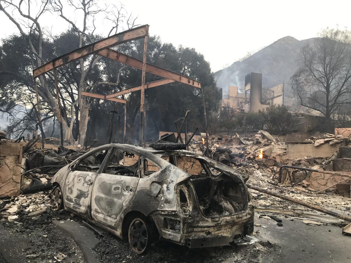
Even as the Woolsey fire continues to burn, residents in evacuated areas are starting to worry about looters.
A resident at the Malibu Bay Club said he saw a man Sunday morning on a dirt bike with a backpack driving through the Ventura County complex where about 20 condos sustained fire or water damage. A man matching that description was also seen driving south on Trancas Canyon Road that afternoon.
Bud Robison, property manager at Malibu Bay Club, saw three men on dual sport motorcycles wearing bandannas who were trespassing on the property Sunday afternoon. There were no license plates on the bikes. He said he asked the men for identification and they ignored him.
Robison said a door to one of the units was kicked in. Several other condos were already open because firefighters had forced their way in Friday to battle the blaze. The men jumped on their bikes and drove to the other side of the complex and when confronted, Robison said one of them had a pistol.
“They weren’t pursuing me and they weren’t aggressive,” he said, “but I felt that if I had followed them they would come after me. I wanted to get an authority right away.”
He walked across Pacific Coast Highway and told the police officers stationed at the Ventura County fire station and officers immediately responded. An armed security guard is now at the complex.
Robison said about 20 condos have fire or water damage out of about 130 units in the complex.
The Los Angeles County Sheriff’s Department has deployed about 500 deputies to patrol evacuated homes in the Woolsey fire burn area to help prevent looting.
Suspicious activity should be immediately reported to the Sheriff’s Department, department spokeswoman Nicole Nishida said.
The department has not made any arrests in connection with looting. But Sheriff’s Chief John Benedict said there is a zero-tolerance approach and suspected looters will be arrested.
Death toll from Paradise fire jumps to 42, making it the worst fire in California history
The death toll from the Camp fire in Paradise jumped to 42 on Monday, making it the deadliest fire in California history. Officials said they recovered the remains of 13 additional victims Monday as teams continued search the burned-out ruins of thousands of homes. Scores remain missing.
Empire State Building lights up in support of California during wildfire losses
The Golden State got some moral support tonight from the Big Apple.
The operators of the Empire State Building illuminated the iconic skyscraper in the colors of California, blue and gold, to show support for the state during the wildfire losses.
The top spire of the tower was lit to resemble an EMS siren.
Camp Hess Kramer and Camp Hilltop helped give life to the Chicano movement of the ‘60s. They were destroyed in fire
One of the first things Rabbi Alfred Wolf did after joining the Wilshire Boulevard Temple in 1949 was start a camping program for children.
Wolf envisioned a place that would be the antithesis of the Nazi Germany he escaped.
And it would be not only for Jewish children but for other children from Los Angeles’ burgeoning, and increasingly diverse communities. There they could organize and try to improve their lot and those of others, said his son Dan Wolf, 68.
The rabbi built two camps in Malibu: the beach side Hess Kramer and its sister camp Hilltop. In the 1960s, they became another home for a group of young Latinos who helped launch the Chicano movement.
On Monday, the camps’ director, Seth Toybes, confirmed that Camp Hilltop was destroyed by the Woolsey fire.
At Camp Hess Kramer only a dining hall and a building that housed an infirmary and offices are standing — as well as a wooden Menorah and the plaque that commemorated its founder. Out of 28 cabins, only one survived the fire.
The lonely Menorah that sits atop Inspiration Hill serves as a literal and figurative sign that the camp will be rebuilt, and that its spirit of empowerment for young people will live on, said Dan Wolf.
Camp Kramer was the place that planted the seed for many Chicano leaders, including Vickie Castro, who attended the first Latino youth conference there in 1963. Castro would later become the second Latino ever elected to the Los Angeles Board of Education.
“Camp Kramer gave me a voice,” she said Monday. “It gave me organizational skills, and it exposed me to a much larger world than my own little neighborhood.”
It was at camp, she said, that she met young people from all over L.A. County who experienced the same problems in trying to get a good education that she did at Roosevelt High School in Boyle Heights. She played a part in forming the Young Chicanos for Community Action, which would later become the Brown Berets.
At the 1967 retreat, Lincoln High School social science teacher Sal Castro began to form the idea for a boycott — the East Los Angeles Blowouts of 1968. At least 10,000 high school students, including Castro, boycotted their schools in protest of widespread racism and inadequate education standards.
Castro said the destruction of the camps deeply saddened her.
“So many good memories,” she said. “It was a life-changing experience for me.”
Dan Wolf said his father wanted the camps to be a beacon for positive change.
“My father was directly involved in saying come use our facility to make your plans to make change,” he said. “I’m sure back in those days there were places they couldn’t go.”
Since it was built in 1952, the camp has been a haven for generations of children, some coming from abroad and out of state.
“There’s this connection that develops with that place...and I believe when its rebuilt that connection will continue. That won’t be lost.”
Toybes and Wolf said they are already planning to rebuild the structures and will host camp in a rented space until construction is complete.
“We’re going to have camp this summer, no matter what,” said Toybes.
Air quality improves in Southern California, still bad in Northern California
The air quality has improved in Southern California as the Woolsey fire has slowed.
But the Bay Area and Sacramento Valley continue to be hammered by smoke from the massive Camp Fire in Butte County.
The National Weather Service in Sacramento explained why that region in still being hit so hard. “An inversion cap is acting like a lid, keeping the wildfire smoke from rising, while the mountains prevent it from moving horizontally, trapping it in the area,” the weather service said.
37 homes lost in Bell Canyon
The Woolsey fire destroyed about 37 houses in Bell Canyon while up to 12 are thought to have sustained some level of damage, said Eric Wolf, president of the Bell Canyon Homeowners Assn.
Wolf said he has stayed in the 2,400-acre community since the fire started, putting out spot fires with a team of about nine volunteers.
The Woolsey fire moved unpredictably in Bell Canyon, which has 13 miles of roads. This is the first time that homes were lost to a brush fire in Bell Canyon, a community that has seen fires multiple times before, but that wasn’t the fault of the firefighters, he said.
“The fire was jumping all over the place, and they were chasing it,” Wolf said. “They just couldn’t have anticipated, in my opinion, how the fire would go.”
At least 8 mountain lions survived fires in Santa Monica Mountains
Officials with the Santa Monica Mountains National Recreation Area say eight mountain lions are alive and moving based on GPS collars, apparently surviving the wildfires.
But the fate of five others — P-22, P-42, P-47, P-54 and P-74 — remains unclear, park officials said in a tweet Monday.
Officials say it’s too early to be alarmed. They note that their GPS collars have not yet transmitted their locations. Officials say this is not unusual. There are other means of tracking the big cats, such as the use of telemetry. But the fires make that difficult.
Park officials have also been unable to locate four bobcats they have been tracking. The areas the four cats roam have all been burned. The Woolsey fire has made it difficult for park officials to get better movement data.
“It’s possible they’ve managed to survive, but only time will tell,” they wrote in a tweet. “We will keep you posted!”
A new fire burning in Malibu Canyon
A new spot fire has been reported Monday afternoon in Malibu Canyon.
Several people shared photos on social media of smoke billowing from the canyon.
What to do when dealing with an insurer after your home catches fire
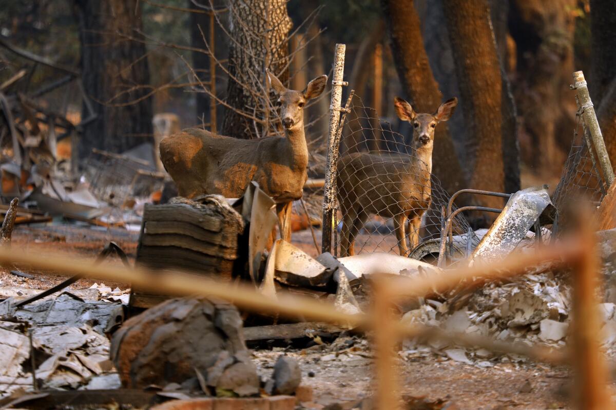
The vast majority of California homeowners have insurance that covers fire damage. But that doesn’t mean you can breathe easy.
Property insurance lawyers say it’s not uncommon for insurers to do everything possible to minimize payouts, especially after catastrophic blazes such as the ones now raging in Northern and Southern California.
Some policies may require homeowners to report any such damage within 90 days to qualify for coverage. Others may cap coverage at a certain level, frequently $5,000.
Such provisions often are inserted into policies during routine renewals. Although all changes must be disclosed, many homeowners may not pay attention or may not read the fine print.
Then there’s the matter of whether the coverage you’ve purchased is sufficient to accommodate increases in material and labor costs. Experts say underinsurance is one of the most common issues as homeowners try to recover and rebuild after a huge fire.
Amy Bach, executive director of the advocacy group United Policyholders, said her organization estimates that as many as two-thirds of California homeowners may not have enough coverage for a catastrophic fire.
“Chances are, you’ll be short,” she said.
Bach advised all homeowners to contact their insurance company and arrange for a policy review based on the latest information about fire risk.
‘Luna is back and she’s my everything:’ A lucky reunion of a Paradise man and his lost dog
The husky in the online photo had burned ears and a brown spot on her forehead where the fire had singed her fur. But one look at the expression on her face, and Wade Lovett knew he had found his dog.
“She had this pout, and that’s her face. As soon as I saw that, I said, ‘That’s Luna,’ ” Lovett said. “She’s a beautiful dog, but when she pouts, she pouts.”
He had last seen her two days earlier, as he packed his neighbor’s truck and prepared to leave Paradise, the town he’s lived in his whole life, as the Camp fire barreled toward him. Luna was perched in the front seat and after somehow rolling the window down with her paw, she bolted. Lovett followed her by truck and by foot for nearly an hour, until the flames got too close.
Lovett, 44, traveled to Chico, picking up nine others along the way during the three-hour drive for a distance that usually takes around 20 minutes. He and his father, another Paradise resident, put up at his aunt and uncle’s house and waited word on the fate of the town his family helped settle in the 19th century.
Luna had made her way to Chico as well. Nicole Clift, who had been volunteering at the Elk’s Lodge, found the dog standing with three young men who explained the animal had run onto the bus that was transporting evacuees from Paradise. Clift, herself a dog owner, decided her family would foster the pup until her owner could be found.
The dog had a collar, but no tags and no chip to identify to whom she belonged. And the tales of devastation coming out of Paradise made the prospect of finding Luna’s owner even more remote. When Clift told a veterinary tech who helped treat Luna’s burned ears and cut paw about the search, the tech teared up.
“She said, ‘You do understand she may not have an owner to come back to?’ ” Clift recalled. “I told her, ‘Yes I understand.’ ”
Clift, who works at Chico State, said her family was prepared to keep Luna if no one claimed her. But first, her family mounted a social media campaign. Her post about Luna was shared 2,700 times. Others, including a Times reporter and actor James Woods, shared the photo on Twitter, garnering thousands of retweets.
Aided by his more tech-savvy aunt, Lovett found Clift’s post by Saturday night. Over the phone, Clift quizzed him on one detail she had deliberately omitted from her post: What was written on Luna’s red collar. “Service animal,” Lovett said correctly. Clift brought his dog over that night.
“We were ecstatic,” Clift said. “I was anticipating a lot of different endings, but this one was the best.”
Lovett plans on staying in Chico for the time being. His home was destroyed, as was his father’s and a number of other family members’ houses. But he said he feels remarkably calm, all things considered, a serenity he attributes to Luna instilling “a sense of normalcy.”
“She’s with me now. We’ll do things like housing and all that as time comes,” Lovett said. “I feel complete now that my family is safe and Luna, who’s also part of my family, is also safe.”
A family watched their homes burn on TV, one after another
An untold number of homeowners have had their lives upended by the Woolsey fire. Few, however, may have felt the fire’s destructive power more than Mark Bakalor.
On Thursday night, not long after the fire first roared to life, Bakalor and his family fled their Oak Park house as the flames approached.
Bakalor then turned his attention to his parents, who had lived for years in a house on Lobo Canyon Road in Agoura Hills, and to his in-laws, who lived in Bell Canyon. For Bakalor, both houses were too close to the fire, which was spreading quickly and in several directions at once.
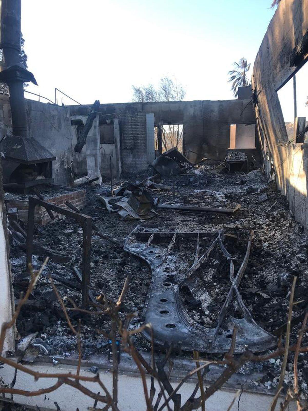
“I called my parents and said, ‘Look, it’s about to jump the freeway and heading your way. I need you to pack your photo albums and leave.’”
His in-laws had already left their house, but told Bakalor on the phone that they were intent on returning. It was more than just a house to the couple: Bakalor’s father-in-law is Mike Garson, a pianist who had played for decades with David Bowie as well as many other famous musicians. Instruments, equipment, memorabilia and decades of memories were in a recording studio on the property.
Bakalor urged Garson and his wife to stay away. The couple reluctantly agreed.
The following night, Bakalor was in the car, returning from a shopping run for toothbrushes, clothes for his child, and other necessities they had fled without packing, when his phone rang.
“It’s gone,” his mother said. “The house is gone.”
“How do you know?” he asked.
“We’re watching it burn on TV.”
It had been the couple’s dream house — an 11,300-square-foot modern mansion built nearly 20 years earlier on more than 20 acres nestled in the Santa Monica Mountains. There was an 18-seat movie theater and a library.
But the Woolsey fire wasn’t done with Bakalor’s family yet.
Less than an hour later, a news helicopter trained its camera on Bell Canyon. It zoomed in on Hitching Post Lane. His in-laws’ street.
A creeping disbelief settled in as he watched with his brother-in-law. The camera panned to the smoldering remains of a house with a pool and hot tub. Only the chimney remained. Bakalor knew that chimney. He knew that pool.
It looked as if the walls of the studio were still standing, but flames were everywhere. When a Los Angeles Times reporter visited the house Sunday, those walls were gone. The charred, flattened husk of a piano was visible from the driveway. A blackened mess of tangled piano wires marked the floor, near what appeared to have been a speaker.
------------
FOR THE RECORD
3:40 p.m.: An earlier version of this article misspelled Mark Bakalor’s last name as Bankalor and Banklor.
------------
Breathtaking time-lapse videos show scope and strength of the Woolsey fire
The Woolsey fire produced some dramatic images, from homes lost to the surreal specter of an owl as well as horses and llamas on Zuma Beach.
But it also has resulted in some breathtaking time-lapse videos.
Here is a sampling.
Plus: Do you have a photo of the fire? Submit it to the Los Angeles Times.
Two new fires break out in Ventura County
Firefighters were battling two new fires in Ventura County on Monday.
Aerial video by NBC Los Angeles showed flames licking the edges of the 118 Freeway near Simi Valley as the Peak fire forced drivers to turn their cars around and drive the wrong way on the freeway.
By 12:45 p.m., the Peak fire had grown to 105 acres, but firefighters had stopped its growth and were beginning to extinguish and remove burning material. Authorities ordered immediate evacuations for residents in the areas of Box Canyon and Lake Manor, south of the 118 in an unincorporated area of Los Angeles County.
The Ventura County Fire Department sent strike teams and aircraft to the Peak fire as Metrolink traffic was stopped in the area, said Capt. Stan Ziegler. Officials initially closed the 118 in both directions between Yosemite Avenue to Topanga Canyon Boulevard, but reopened the 118 west by 12:30 p.m.
The California Highway Patrol said Box Canyon Road was closed at the Los Angeles County line, and Santa Susana Pass Road was closed between Topanga Canyon Boulevard and Simi Valley.
Ziegler said those in the area of the fire had been asked to shelter in place on Kuehner Drive in Simi Valley.
Meanwhile, authorities said the threat to nearby homes caused by the Lynn fire, which broke out in the Lynn Ranch area of Thousand Oaks, was gone late Monday morning as firefighters tackled it from the air and the ground. Ziegler said the fire was holding at less than 5 acres.
Ziegler said it’s undetermined whether that fire is connected to the nearby Hill or Woolsey fires. He encouraged residents to stay aware of their surroundings. High winds and red flag warnings are in effect through Tuesday afternoon in Southern California.
“As you can see, the very slightest spark can start another fire,” he said in a video posted to Twitter.
The video showed Ziegler moving through charred ground under a hazy and smoke-filled sky. High winds made the video difficult to understand at times. Fire crews could be seen stomping through the brush in the distance. Air tankers had just dropped retardant, and he said helicopters were on the way to drop water on the area.
Ziegler said the Fire Department keeps additional resources at the ready during red flag warnings to respond to flare-ups and knock down fires quickly.
“The timing was perfect to slow this fire down,” he said.
12:55 p.m.: This article was updated with new acreage and the reopening of parts of the freeway.
12:31 p.m.: This article was updated with acreage numbers and evacuations for the Peak fire.
This article was originally published at 12:02 p.m.
Video: In Butte County, an eerie aftermath settles over areas scorched by the Camp fire

An eerie aftermath settles over areas scorched by the Camp fire in Butte County.
PG&E and Edison stocks plummet as California wildfires burn
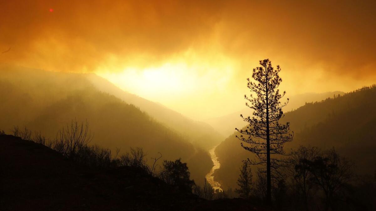
Stocks of California’s two largest utility owners, PG&E Corp. and Edison International, plummeted again Monday as investors feared that the deadly wildfires raging in the state could leave the utilities with massive liabilities.
It was the stocks’ worst drubbing since the California power crisis more than 15 years ago.
Three firefighters suffer burn injuries during Camp fire
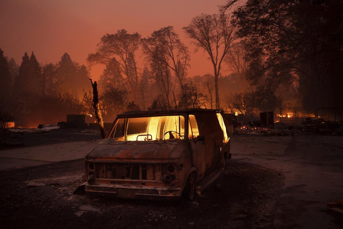
Three firefighters were transported to burn centers for treatment after suffering injuries during the first day of the Camp fire in Butte County, authorities said Monday.
Erica Bain, a spokeswoman for Cal Fire, said two of the firefighters were prison inmates. No other information was immediately available.
Along Mulholland Highway, where two burned bodies were found Friday, a moonscape of downed power lines and debris
The long, twisting roadways of Malibu looked like a moonscape Monday. The streets through the Santa Monica Mountains, damaged in places, were framed by scorched speed limit signs and drooping power lines.
The fire had burned unevenly, leaving some swaths of land barren and gray. In other areas, unscathed trees and vineyards swam into view in vivid technicolor. Solar panels glinted from scorched hillsides.
The silence was punctuated by the beep-beep-beep of utility trucks, the whir of helicopters dropping water and the roar of the wind blowing ash and dust across the hills.
Piles of white ash mixed with blackened earth and made the soil appear silver in places.
The shoulder of Mulholland Highway was filled with trash, burned palm fronds and the remnants of people’s homes: a New Yorker subscription card, a page from a 1977 yearbook, a half-melted parking ticket for going 101 mph in a 60-mph zone.
Along the 33000 block of Mulholland Highway, the area where two bodies were found Friday afternoon “severely burned inside of a stopped vehicle,” one home’s long, winding driveway led past an outbuilding and a BMW that looked untouched, but ended at a crumpled garage with two cars that had incinerated inside.
One car’s blue paint was barely visible through the ash.
At a sprawling property down the road, a metal eagle perched atop a call box that had been partially destroyed. Wiring spilled from it like spaghetti. Past the gates, a crude wood sign directed visitors to a bunk house, a ranch house and a “sweat lodge.”
In the parking area, a lone car stood destroyed and crumbling beside two burned-out golf carts. The car’s rims had melted into shining puddles on the earth.
Nearby, along a path of wood chips that crumbled when touched, a white yurt stood intact and pristine, surveying a valley of scorched earth and twisted trees. Stone letters on a ridge nearby spelled out: “L-O-V-E.”
Donations pour in from across the country to help 600 displaced animals
Donations from people across the country have been pouring in to help animals displaced by the Woolsey fire.
About 600 animals, including horses, pigs, sheep, dogs and cats, are being looked after by volunteers and veterinarians at six locations across Los Angeles County, according to Maria Solacito, veterinarian chief of staff with Los Angeles County Department of Animal Care and Control.
During the first few days of the Woolsey fire, Solacito sent out a plea across social media asking for extra hands to care for the animals, some of which had been injured.
On Monday, she said she’s been inundated with donations and people offering help.
“I’m getting an overwhelming response from people across the country,” she said.
The Los Angeles County Department of Animal Care and Control is offering free veterinarian care at the six locations across the county, including Pierce College, an evacuation center for evacuees and their pets.
Solacito said the volunteers and veterinarians were caring for 474 horses, 30 dogs, 30 cats, 20 goats, and 145 other animals, such as pigs, sheep and tortoises.
The shelters also work hard to keep pets and their people together, said Solacito, who treated a dog belonging to a 96-year-old evacuee at Pierce College who had lost her home in the fire.
After caring for the dog, which was experiencing breathing problems, Solacito heard that the owner and her beloved pet might get separated.
With the help of a social worker and the Red Cross, Solacito was able to make sure they could stay together.
“The bond between animals and humans is really strong. We knew how detrimental it would be if they were both separated,” she said.
Miley Cyrus, Neil Young, Gerard Butler among those who lost homes in California wildfires
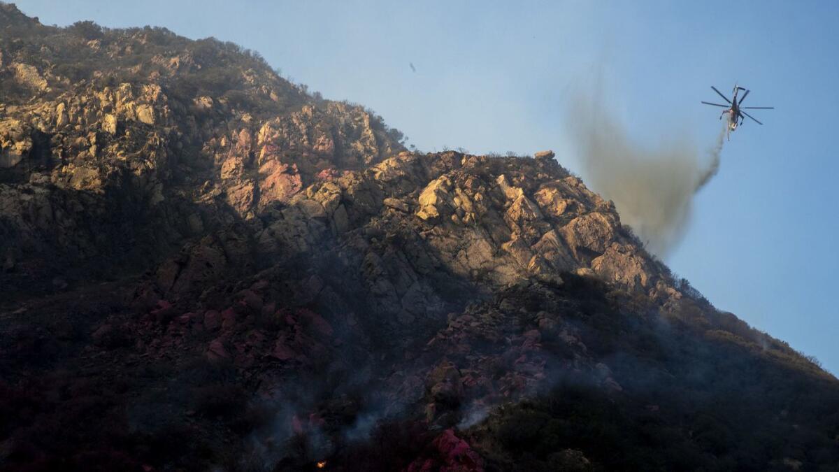
As the deadly Woolsey fire continued to blaze in and around Malibu on Monday, fire officials carried on with aggressive air attacks to quench the burning flames that did not discriminate among properties.
The fire burned 91,572 acres and charred 370 structures in Los Angeles and Ventura counties and was 20% contained as of Monday morning, according to California Department of Forestry and Fire Protection officials.
By Sunday, the destructive fire had already claimed two lives and forced 250,000 people to flee their homes from Malibu to Thousand Oaks. Thousands of residents remained under mandatory evacuation orders on Monday.
While firefighters protected some homes, others were not as lucky, including some celebrities’ million-dollar properties that were consumed by the flames. The Western Town movie set at Paramount Ranch was also among the properties burnt, along with the set of the formerly long-running TV series “MASH,” the Reagan Ranch and other historic ranches.
Journalists covering the Camp fire take a moment to help lost pets
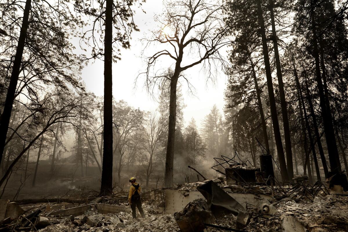
Journalists covering California fires face a difficult task, working long hours in sometimes dangerous conditions to get the stories of loss and devastation to readers.
But along the way, they sometimes find furry friends they can’t walk away from. While working in Paradise, Los Angeles Times photojournalist Carolyn Cole posted on Twitter a photograph of a lost cat, crouching among the ruins of a burned home.
“If you know this cat, contact me for information,” she wrote.
Ryan Sabalow, a reporter for the Sacramento Bee, posted on Twitter on Sunday a similar call for help for a frightened cat sitting in the back of a pickup truck.
“I’ll get you home,” he said in the video attached to his post. “I’ll get you to a shelter. Come on.”
By Sunday evening, the cat, whose name is London, had been reunited with its owner with Sabalow’s help.
Red-flag warning expiring in Butte County as containment grows in deadly Camp fire
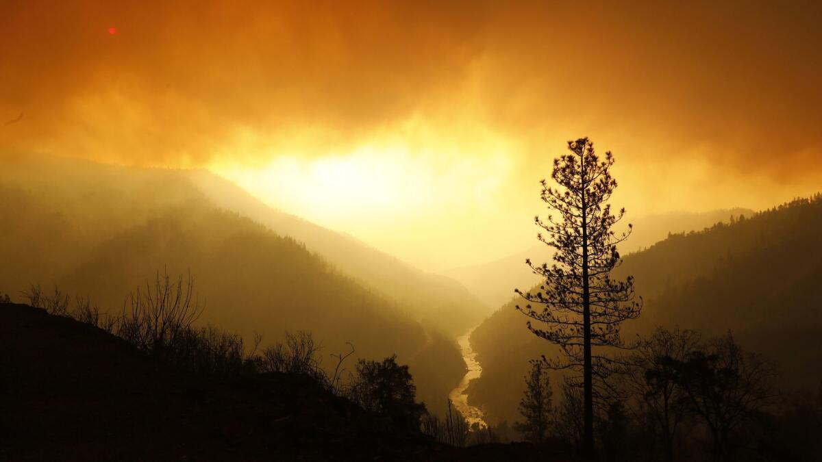
Firefighters facing the state’s deadliest and most destructive blaze on record will get a slight reprieve Monday from the winds that have been complicating the battle since the disaster first ripped through Butte County last week, authorities said.
A red-flag warning that has been in effect for days — signifying a potent mix of heat, dry air and winds that could explode a small fire into a deadly conflagration — was set to expire Monday morning, the National Weather Service said.
But as commanders warned fire crews during their morning briefing at the Silver Dollar Fairgrounds in Chico on Monday, that doesn’t mean the fight against the Camp fire is anywhere near won.
The fire is expected to transition from being wind-driven to topography- and fuel-driven, making it more predictable but still potentially explosive as it approaches overgrown, tinder-dry landscape, officials said.
On Sunday night, the fire’s northeastern flank pushed toward Stirling City, another isolated mountain town with few exits and entrances and surrounded by forest.
“Very heavy jackpots of fuel out there. There are some areas with some thinned-out forests, however, most of it is really heavy,” said Jonathan Pangburn, a fire behavior analyst with the California Department of Forestry and Fire Protection.
The landscape’s susceptibility to fire can’t be understated, officials said.
Three times Sunday night the blaze “jumped” a 300-foot lake thanks to red-hot embers that landed on some parched grass and triggered another fire, Pangburn said.
“Areas where you’d expect the fire to not necessarily continue forward in previous years, the fuels are just too dry,” he said.
The fire grew overnight, with officials saying it had burned 113,000 acres and was 25% contained as of Monday morning. Most of that spread was on the blaze’s northeastern flank toward Sterling City and deeper into the Sierra Nevada and to the southeast, where it jumped the Feather River.
The fire has killed at least 29 people and destroyed 6,700 homes and businesses. The search for additional victims in the the ruins of the Sierra foothills town of Paradise continues.
How to talk to kids about the fires
There are two major destructive fires still largely uncontained and raging in California. Classes have been canceled in affected areas, and thousands of families have been displaced.
It’s important to know how to talk to children about that trauma. Here is some advice from experts collected in the wake of the fires that hit Northern California last fall:
Answer their questions and validate their feelings
Kids might ask questions that parents don’t want to answer. But parents shouldn’t ignore or dismiss those questions. Saying everything is fine when it’s clearly not invalidates children’s feelings and can affect them negatively, said Jennifer MacLeamy, who at the time was the director of behavioral health at the Petaluma Health Center.
“The thing that children want the most is to know that their parents are in control and taking care of them,” MacLeamy said. “What happens in a natural disaster is exactly the opposite … so they’re feeling that fear and that uncertainty. So we have to validate that feeling.”
Try different approaches to figure out what they’re feeling
There are different ways to figure out how kids are feeling and what they’re experiencing, if doing so directly isn’t working. Parents can ask them what they’ve heard or try art-based therapy, said Marian Pena, the behavioral health director at West County Health Centers in Sonoma County, where more than 20 people were killed in fires last year. Sometimes children don’t have the words but stress come out in what they draw.
MacLeamy suggests asking what they are dreaming about, or what they and their friends are telling them.
Keep routines in place, but add hugs
During the Northern California fires, parents often asked “how to be with their children so much when they’re not at school and experiencing all this trauma and distress,” MacLeamy said.
Schools may be closed for days or weeks during fires or after a massive earthquake. Children (and adults) feel safer doing what they usually do, so it’s important to maintain some elements of their daily routine, like eating and sleeping at normal times, mental health experts said.
“Rituals and routines and boundaries are how children really know for sure that they’re safe,” MacLeamy said. That’s how “kids know that, even though a lot of things in their world have changed, not everything has changed.”
But it’s also good to add some extra affection to those routines — hugs, a bedtime snuggle, assurances that kids are out of harm’s way.
“‘I love you and you’re safe.’ Just keep saying it, over and over again,” MacLeamy said. “A hug is really powerful.”
Try to find some hope
It’s important to acknowledge the bad things that have happened, but parents should try to answer their children’s questions with some hope, MacLeamy said.
If children ask about deaths, she said, it’s important to acknowledge the losses but also point out that most people found safety.
If an older child is afraid and asks about the deaths, she said, it might help to look at a map together and point out all the places where people were safely rescued or evacuated.
It’s also important to let children be part of the community healing process, MacLeamy said.
“Children will always remember when they were in a natural disaster. So if we can make that memory … a story of overcoming, rather than just — ‘and then we were depressed and miserable for the next two months,’ it can help shape children’s memories and recovery,” she said. “Kids don’t have a lot of agency in their lives and they really want to help. They want to contribute in some way.”
Woolsey fire burns 91,572 acres with 20% containment
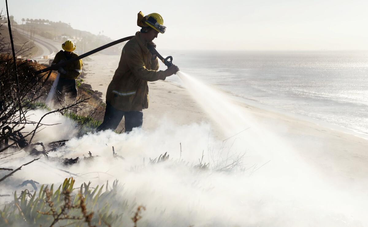
The Woolsey fire has charred 91,572 acres in Los Angeles and Ventura counties and was 20% contained as of Monday morning, according to California Department of Forestry and Fire Protection officials.
A lack of wind over the weekend allowed firefighters to gain significant ground and put containment lines into place. However, officials are expecting Santa Ana winds to kick up Monday and gain strength through Tuesday, which could lead to extreme fire behavior, said Cal Fire Division Chief Chris Anthony.
Northeast winds are expected to blow 20 to 30 mph with gusts up to 55 mph in Los Angeles, according to the National Weather Service.
Anthony said the main push for firefighters through the day will be preventing the blaze from jumping outside the containment lines to Topanga Canyon.
“We didn’t see any spread of fire outside the containment lines on Sunday, but as we’ve clearly seen over the last couple of days it only takes one ember and one new spark to see rapid rates of fire spread,” he said.
Cal Fire officials estimate about 370 structures have been destroyed in the blaze.
Camp fire has burned 113,000 acres as of Monday morning
As of Monday morning, the Camp fire in Northern California had burned 113,000 acres and was 25% contained.
At least 29 people were dead and more than 6,000 structures lost.
Cal Fire said strong winds are expected to ease Monday morning.
“Firefighters worked through the night to hold perimeter lines and provide structure defense in areas where the fire was impacting structures,” the agency said.
‘There are enough people out here with cameras.’ Photographer becomes fire spotter atop Point Dume
The 29-year-old Marine-turned-photographer Robert Spangle climbed Point Dume with binoculars, a small notebook, some coffee and an American flag.
From the top of the iconic rock that marks the end of Santa Monica Bay, he watched for signs of fire and radioed friends, who helped fight the blaze.
He stayed atop the rock for nearly three days.
“There are enough people out here with cameras,” he said. “I have some helpful background and experience. I know this place.”
Images of destruction and survival from Paradise
Los Angeles Times photographer Carolyn Cole has been on the front lines of the Camp fire that swept through Paradise, Calif., for days.
Here are some of the images she has shared.
228 people still missing in Paradise as grim search for victims continues
The grim search for more victims of the fire that swept through Paradise, Calif., will continue today.
The fire has already claimed 29 lives. But the number could continue to grow. On Sunday, authorities said, there were 228 people whose whereabouts were unknown.
The search has been hampered by the active fire still burning in the area. Through much of the weekend, the ground remained too hot for cadaver dogs to tread, said Butte County Sheriff-Coroner Kory Honea
Authorities have struggled to keep up with the sheer number of calls about missing people, Honea said Sunday. The Sheriff’s Department has fielded some 500 calls and found more than 100 people, many of whom were in shelters but had not yet been in touch with loved ones, he said. Over the coming days, he said, deputies will be working to sort through the confusion.
By Sunday evening, the Camp fire — named because it began near Camp Creek Road in Butte County — had charred 111,000 acres and was 25% contained, fire authorities said.
Alex Hoon, a meteorologist with the National Weather Service, said at an evening news conference that the powerful winds that have plagued the fire fight are expected to die down after Monday.
Residents in portion of fire evacuation zone told to boil tap water
Residents in portions of the Woolsey fire evacuation area have been advised to boil their tap water before drinking it or using it to cook.
The boil-water notice was issued Sunday night for Los Angeles County Waterworks District No. 29’s Point Dume and Encinal Canyon service areas and Las Virgenes Municipal Water District customers south of Westlake Village, east of the Ventura County line, north of Malibu and west of Corral Canyon.
Officials said customers within the affected areas should either use bottled water or boil tap water for one minute prior to its use for drinking, brushing teeth and cooking.
Firefighting efforts caused a significant loss of pressure within the water systems, which could result in increased bacteria in the water, officials said. Boiling water kills bacteria and other organisms, they said.
SoCal Edison and PG&E reported outages near Woolsey and Camp fires minutes before the blazes began
Both of the state’s major utility companies have submitted incident reports detailing equipment problems moments before two deadly fires started Thursday.
Southern California Edison and Pacific Gas & Electric Company told the California Public Utilities Commission they experienced power outages in areas near the origins of the Woolsey and Camp fires minutes before the blazes began.
The utilities commission said it is including both reports in its investigation “to assess the compliance of electric facilities with applicable rules and regulations in fire-impacted areas,” spokeswoman Terrie Prosper said in a statement.
Edison said in its report that a circuit in the utility’s Chatsworth substation “relayed’ at 2:22 p.m. on East Street and Alfa Road, the same area where the Woolsey fire broke out. It was reported “out of an abundance of caution,” the report said.
Steve Conroy, an Edison spokesman, said the utility is required to submit a report to the CPUC “any time there’s any kind of incident that may or may not have anything to do with the event.”
“The report is preliminary,” he said. “We have no other information other than a line went out of service and we don’t know why.”
A relay occurs when a disturbance is detected in an area and circuits become de-energized, Edison says on its website.
“This means an outage remains until it is safe to manually re-energize the circuit. This is not a Public Safety Power Shutoff; it is simply a safety feature to help mitigate wildfire risk.”
The same day, PG&E said in an incident report that the utility experienced an outage on a transmission line in Butte County 15 minutes before the Camp fire broke out.
“PG&E observed by aerial patrol damage to a transmission tower on the Caribou-Palermo 115 kV Transmission line … in the area of the Camp fire,” the utility said in a report.
The Mercury News reported the line outage was in the same area where firefighters discovered downed power lines while responding to the fire.
“We’ve got eyes on the vegetation fire. It’s going to be very difficult to access. Camp Creek Road is nearly inaccessible,” one firefighter told dispatch in a radio transmission. “It is on the west side of the river underneath the transmission lines.”
Paul Doherty, a spokesman for PG&E, said the report is preliminary and the utility will cooperate with any related investigations.
The utility had warned 70,000 of its customers that it may shut off power proactively, but weather conditions did not meet the criteria for a proactive power shutoff, he said.
Southern California Edison warned customers Sunday night that it could shut off power between Malibu and La Verne on Monday. Edison previously had notified 74,000 customers in high fire-risk areas of possible shutoffs. Shortly before noon on Monday, Edison shut off power for 50 customers in Moorpark.
More than 9,000 Edison customers are without power because of damage the Woolsey fire has done to infrastructure and equipment, according to Lois Pitter Bruce, a spokeswoman for the utility.
“Crews are trying to gain access, but due to treacherous conditions, our restoration is not going to be as expedited as we’d like it to be,” she said.
According to Edison’s incident report, the utility also has been unable to access its facilities in the area where the fire began.
“At this point, we have no indication from fire agency personnel that SCE utility facilities may have been involved in the start of the fire,” the report said. “The investigation into the matter is ongoing.”
California wildfires have put pressure on utilities across the state. Shares for Pacific Gas & Electric Corp. and Edison International, the state’s largest utility owners, fell significantly after the fires broke out.
------------
1:50: This article was updated to include information about PG&E’s incident report.
This article was originally published at 11:49 a.m.
101 Freeway reopened between Valley Circle and Reyes Adobe Road in Woolsey fire
All lanes of the 101 Freeway were reopened late Sunday between Valley Circle and Reyes Adobe Road, officials said.
However, offramps from Valley Circle to Liberty Canyon Road will remain closed until further notice.
The 1933 Griffith Park fire was California’s deadliest. Until now
At 29 dead and counting, the Camp fire in Butte County matched the deadliest fire on state record — a 47-acre scorcher that killed 29 people in Griffith Park in Los Angeles in 1933, according to the California Department of Forestry and Fire Protection.
Officials expect the death toll to rise in Butte, noting that 200 people are still reported missing.
Here’s some background on the earlier fire from the pages of The Times:
The 1933 Griffith Park blaze broke out Oct. 3, while thousands of civilians were clearing trails and maintaining roads in Griffith Park as part of a Depression-era jobs program.
The first smoke was reported around 2 p.m., as temperatures soared toward 100 degrees with little wind. The workers turned their attention to fight the blaze.
Around 3 p.m., the wind shifted, trapping the doomed laborers on a hillside of Mineral Wells Canyon, with the fire raging toward them from below, according to an account on the Conference of California Historical Societies website.
“You could tell the progress of the fire by the screams,” one man said. “The flames would catch a man and his screams would reach an awful pitch. Then there would be an awful silence — then you would hear another scream. It was all over inside of seven minutes.”
A month after the disaster, a plaque honoring the victims was placed by the Los Feliz Women’s Club near the park’s Vermont Avenue entrance. It eventually disappeared.
A bronze sculpture commissioned by the Works Progress Administration to honor Conservation Corps workers was dedicated in 1935 by President Franklin D. Roosevelt. It was destroyed in a flood three years later.
Finally, in 2007, the city honored the victims again with a tree planting that included a survivor from that day.
All of Calabasas now under mandatory evacuation
All of Calabasas is now under mandatory evacuation due to the Woolsey fire, the city announced Sunday evening.
Death toll jumps to 29 in Camp fire
The death toll from the Camp fire in Butte County rose to 29, with six new bodies recovered Sunday, officials said.
With the ruins of the town of Paradise still smoldering, search teams have barely had a chance to begin sifting through the blaze’s footprint in the Sierra foothills, where in a matter of hours on Nov. 8 wind-driven flames sprinted downhill and burned more than 6,700 homes and businesses.
The first bodies found after the fire passed were in a car on the road. Some survivors said they had only minutes to escape.
Five of the bodies found Sunday were in homes. One was in a vehicle. Much of the area has still not been searched, and scores of people remain missing.
“What I will say is we are very early in our efforts,” Butte County Sheriff Kory Honea said. “There is still a great deal of work to do.”
With the additional casualties, the Camp fire matched the deadliest fire on state record — a 47-acre scorcher that killed 29 people in Griffith Park in Los Angeles in 1933, according to the California Department of Forestry and Fire Protection. It had already eclipsed last year’s Tubbs fire to become the most destructive.
And yet the fire pushes on.
As of Sunday night, the fire was 111,000 acres and 25% contained. Persistent winds have created spot fires that are sucking up resources that could be spent defending the larger blaze, including a 2,000-acre spot fire on the opposite side of the Feather River, said Joshua Bischof, a battalion chief with Cal Fire.
Red flag conditions will last through Monday morning, creating a recipe of gusty winds and tinder-dry fuel that could spark another out-of-control fire or challenge defensive positions that crews have already set up, officials said.
There are currently more than 200 people unaccounted for, Butte County sheriff’s officials said. Authorities are looking for them. Some of those reported missing were located at shelters, officials said.
Residents who were able to outrun the fire said they still cannot fathom how much of their town was lost or imagine how many of their neighbors might be gone.
“We not only lost our home,” said resident Sue Brown, “we lost a whole community. It’s gone. Paradise is gone.”
The wind-swept fire exploded out of the mountains northeast of Paradise around dawn Thursday and started pelting the town’s rooftops with embers just before the full-scale firestorm came raging through the streets.
Residents who scrambled to escape down the main highway were terrified by towering flames licking at their vehicles from both sides.
Traumatized Paradise survivors were among 52,000 people chased out of their homes by the Camp fire. Many spent Saturday at evacuation centers in nearby Chico and Oroville.
Homeowners used sprinklers to fight fire. When water was shut off, they started draining the pool
Greg and Alma Cwik didn’t evacuate their Bell Canyon home on Dapplegray Road when the order came out this week.
Instead, the couple used the tools they could find to fight the flames that threatened their home Friday and Saturday. With the power knocked out Thursday night, they managed with LED lights. They used hoses and sprinklers, and when the water was shut off they grabbed buckets filled with pool water to fight the flames.
The couple, who have lived in their home for seven years, pulled the cushions off their outdoor furniture and brought them into the kitchen so they wouldn’t catch fire.
“Firefighters were here, but they were very few,” Alma Cwik, 63, said. “They were here, but when the fire went to Malibu and Hidden Hills, they went there.”
Around noon Friday, she said, the canyon beneath their deck caught fire. She and her husband began fighting the flames — in one photo she took of herself, she is holding a hose while a fire burns along the hill.
“They were very short-handed Friday,” she said.
“It’s been an interesting few days,” Greg Cwik added, standing in the living room. “Seeing neighbors’ houses going up is crazy. You couldn’t even see the sun, it was like night almost.”
Greg, 54, spent Friday night in their home, while Alma slept at a friend’s house with their three small dogs. She came back the next morning.
Their daughter, Kendall, 20, drove up from San Diego on Saturday because she was worried. Sunday, she roamed the neighborhood and tallied how many houses burned. By her count, 38 houses in the neighborhood were charred.
Firefighters told the family that it could be a week or two before power is restored. A downed power line currently sits at the entrance to Bell Canyon.
“They said they might not let people in until Tuesday or Wednesday,” Alma said.
She said that they were one of only a few people who stayed behind.
“I would say 90-95% of people left,” she said.
Gov. Brown: Mega-fires ‘the new abnormal’ for California
State officials said firefighters from Oregon, Washington, Utah, Idaho and Montana have responded or on their way to battle the California blazes. Gov. Jerry Brown said he’s requesting funding from the federal government.
“This is not the new normal, this is the new abnormal. And this new abnormal will continue certainly in the next 10 to 15 to 20 years. Unfortunately, the best science is telling us that dryness, warmth, drought, all those things, they’re going to intensify,” Brown said. “We have a real challenge here threatening our whole way of life, so we’ve got to pull together.”
“We’re dealing with existential conditions that, once they take off, the certain amount of dryness in the vegetation and the soil and the air, then the winds get up 50, 60 miles an hour, this is what happens,” Brown said. “We’re in a new abnormal. Things like this will be a part of our future.”
Zuma Beach becomes way station for Malibu fire evacuees
By Sunday afternoon, Zuma Beach in Malibu had become something of a way station for Malibu residents who had been forced to evacuate their homes but didn’t want to stray too far in the hopes that an evacuation order might be lifted.
Around 8 a.m., Pam Whitman was walking her dog Trapper along the sands with a mask covering her face and a wooden walking stick in her right hand.
“We wanted to be close to home. We have evacuated to Zuma before,” said Whitman, a Realtor who has lived in Malibu for 40 years.
Whitman said she was worried about the dozens of parakeets her husband has raised that live in their home. The recreational vehicle she has been staying in was running low on gas, but Whitman said she doesn’t want to drive out of the area as authorities will deny reentry to anyone in an evacuation zone.
The area had become a dead zone for cellphone service, and most people were without power as of Sunday morning. Nearby, the charred husks of several homes and cars could be seen along Merritt Drive above Malibu High School. One of the few things that remained intact was a metal sign reading “Welcome.”
Malibu councilman suffers serious injuries trying to protect his home from fire
Malibu City Councilman Jefferson “Zuma Jay” Wagner suffered serious injuries while trying to protect his home from the fire, according to another city councilman, Skylar Peak.
Wagner was hospitalized with injuries related to smoke inhalation sometime Friday after he ignored an evacuation order and tried to fend off flames at a house he owned on Old Chimney Road in Latigo Canyon, Peak said.
Peak said Wagner’s wife told him late Saturday night that the well-known surf shop owner was placed in an intensive care unit at a local hospital, but he is expected to survive. Wagner’s house was destroyed, Peak said.
He’s spent 35 hours at a Malibu gas station on PCH as fire raged all around him
Brad Delaney stood out outside the Arco station on Pacific Coast Highway with a yellow bandanna around his neck and pajama bottoms under his brown shorts.
He had been holed up at the gas station since Friday and excitedly reported that he was in his 35th hour of overtime for Arco.
His car felt like a safer haven than the store because he could actually see if the blaze was close.
On Friday, spot fires surrounded the store, and the nearby Pavilions parking lot was a “carpet of embers. I can’t believe the grocery store didn’t go,” he said.
“It’s been really bad everywhere. All I’m thinking about is surviving,” he said.
‘What day is it?’ one exhausted firefighter says in Malibu area devastated by fire
More than a dozen blackened husks of homes lined the streets above Malibu High School near Zuma Canyon. Power lines were down and and Southern California Edison crews were out fixing lines.
One the few things that remained of one home on Merritt Road was a metal sign saying welcome. The cars were charred.
A fire crew from Long Beach lay in the grass of the driveway of a home that had been engulfed in flames only hours ago. They were about to move on but then got a flat tire.
“What day is it even?” one exhausted firefighter said.
A San Gabriel fire captain who asked that his name not be used said the the home in front of him had been burning since 2 am.
“It was the third large house that our company lost,” he said. “There were so many places I don’t even know where the houses were.”
‘Game of Thrones’ fan loses home to fire, but recovers a sword and other beloved memorabilia from wreckage
Shane Clark walked through the wreckage of his Bell Canyon home on Hitching Post Lane on Sunday afternoon and sifted through the ash to salvage what he could.
His mom, Joline Clark, who also lives in Bell Canyon, stood and watched from the driveway as he scoured where the house used to stand below.
“Are you going down there?” she scolded him.
Clark turned around, triumphant. He found a large sword in the rubble with “winter is coming” engraved on the hilt. A “Game of Thrones” fan, he was happy to find a couple of pieces of memorabilia he’d collected.
“I feel gratitude that the firefighters saved as much as they could,” he said. “I knew the house was gone. It’s certainly sad, but we will be able to rebuild.”
Clark said he had hoped an intricate quilt his mother had given for him as a wedding gift may have made it, but looking at the damage he didn’t think it did.
“Oh, look, our dragons made it,” he said, pointing to a shelf that was still standing.
“Do you want me to to grab em?” his father replied.
“Yeah,” Clark said.
Firefighters are also able to save about three truckloads’ worth of things in the house, Joline Clark said. Among them were the ultrasound photos that had been posted on the fridge. Shane’s wife is pregnant, she said.
“It brought them so much comfort,” she said of the things the firefighters saved. Shane’s wife “was so thrilled to open up those memory boxes.”
Clark said about 10% of her home — the house Shane was raised in — was damaged by the fire.
“At least we got some of our stuff you know,” she said. “I am astounded by the devastation.”
Nailed it! Watch the precision water drops making big difference in Woolsey fire air war
Around 12:30 p.m. firefighters from the Vernon Fire department looked on as tankers and helicopters bombarded the peaks and slopes of Malibu Canyon with flame retardants and water to put out spot fires that kept coming up.
There were at least two large tankers, one small tanker and four helicopters in the last hour.
This air bombardment helped push the flames back as Los Angeles County Fire Department Engineer Scott Pishe and his team looked on outside of several multimillion dollar homes.
“If it had gotten into that chute, we would’ve been in trouble,” Pishe said as the flames were pushed back. “All of that is because of the birds. the aircraft assault has been nonstop.”
It reflected the air war that firefighters hoped would help them get the upper hand against the Woolsey fire.
Dozens of planes and helicopters were in the air Sunday, trying to stop new spot fires before they could hit neighborhoods.
In Bell Canyon, people clapped, cheering the helicopter that had dropped water on a ridge that had caught on fire, threatening the gated community.
No cell service, phones or electricity leaves Malibu residents cut off: ‘No communication at all’
A cool breeze floated over Zuma Beach on Sunday morning around 8 a.m. It had become a way station for stranded Malibu residents and their pets and vintage sports cars.
The parking lot was far less crowded than it had been.
Pam Whitman, a Realtor and 40-year resident of Malibu walked her dog Trapper while wearing a mask over her face and holding a wooden walking stick in her right hand.
She came down to the beach Friday from her home on Dume Drive.
“We wanted to be close to home. We have evacuated to Zuma before,” she said.
Her husband raises parakeets and has about 100 in their home. The motor home she’s been staying in is running low on gas and she doesn’t want to leave the area because authorities won’t let residents back in.
“We don’t have any electricity. No communication at all. No phones are working.”
Officials have said the fire destroyed some communications equipment as well as power and phone poles.
Claps and cheers as helicopter drops water on fire threatening homes in Bell Canyon
Fire crews raced down the intersection of Bell Canyon Road and Valley Circle late Sunday morning, en route to battle multiple hot spots that flared up at the base of the road.
A crowd of about 30 people stood at the corner, their cellphones out recording video and taking photos as firefighters hiked up the hillside beneath a cloud of thick smoke.
The crews, shouting instructions above the roar of a helicopter and sirens, grabbed hoses and sprayed as a palm tree erupted in flames and dry brush quickly caught fire like tinder, inching toward a home at the top of a ridge.
With each spot they put out, it seemed, another would crop up.
Richard Levy, 62, president of the Bell Canyon community services district, mingled with other residents observing the battle.
On Saturday and early Sunday morning, he said, he and others shuttled people into Bell Canyon to get their medication.
“We can’t do that right now,” said Levy, who lives about three miles up the road.
He estimated that about 35 houses burned down in his neighborhood.
“I took a couple who had just moved in in June to see their house,” he said. “A 5,600 square foot house, and there was nothing left. It’s traumatic for them. The wife cried.”
He said the hill behind his home hadn’t burned yet, but nearly everything else around it had in the Woolsey fire. Levy, who has lived in Bell Canyon for eight years, said the area had never lost a house to a brush fire until this week.
Earlier this week, he and the president of the local homeowners association drove around the neighborhood and tried to put out fires on their own. Driving down the local streets, they would grab garden hoses and whatever else was available to douse the flames.
At one point, Levy said, he put out a fire in someone’s backyard.
They were unable to save another home, where two jet skis on the side had caught fire and eventually ignited the entire house.
As he recounted his story, people clapped, cheering the helicopter that had dropped water on the ridge.
Irene Shaffa, who lives across the street from Levy, said she checked on her five-bedroom home Saturday and it had been spared. After evacuating on Friday, she stayed at her warehouse in Chatsworth along with some neighbors.
But with the current flare-up and the heavy winds, she said she’s worried her house may not make it. She had been standing with the crowd at the intersection since about 8 a.m.
“We come back every day,” she said. “We have nowhere to go.”
Everyone who had gathered, she said, was hoping to get down the road to check on their home.
“But it doesn’t look like we’re going to get in at all,” she said.
101 Freeway may soon reopen in fire zone
The California Highway Patrol said it might soon reopen the 101 Freeway, which has been closed for days due to the Woolsey fire.
“Currently working to re-open the 101 Fwy in both directions, however ramps will be closed in the section between Valley Circle/Mulholland and Reyes Adobe. With return of Santa Ana winds, residents of Topanga are urged to take evacuations seriously,” the CHP said on Twitter.
It was unclear exactly when the freeway will reopen.
L.A. imposes red-flag parking resrictions due to fire danger
The city of Los Angeles has imposed parking restrictions on many hillside roads to help firefighters reach burn areas quickly.
A map of restricted streets can be found here.
Here are details from the city:
At 8 a.m. Sunday the Red Flag Parking Restriction Program will go into effect for 24 hours.
In an attempt to increase public safety, the Los Angeles Fire and Transportation Departments created the program to remove illegally parked vehicles in posted locations within the Very High Fire Hazard Severity Zones.
The parking restrictions are planned for a 24-hour period and will be reevaluated based on the weather.
Winds picking up and embers are flying
As predicted, winds are picking up and bringing the Woolsey fire back to life.
In the last two hours, firefighters have been dealing with several spot fires as the wind picks up embers.
Wind gusts could top 50 mph in some parts of the fire zone.
Gov. Jerry Brown seeks major disaster declaration from Trump
Gov. Jerry Brown has requested a Presidential Major Disaster Declaration, citing the devastating fires burning in Northern and Southern California.
At least 24 people have died and more than 6,000 structures have been lost in the Camp and Woolsey fires.
Brown’s requests come a day after President Trump criticized California’s handling of forest and fire issues and threatened to cut off funding to the state.
“There is no reason for these massive, deadly and costly forest fires in California except that forest management is so poor. Billions of dollars are given each year, with so many lives lost, all because of gross mismanagement of the forests. Remedy now, or no more Fed payments!” Trump wrote.
Trump said poor forest management policies caused the fires plaguing the state, even though the massive Woolsey fire didn’t occur in a forest.
The Woolsey fire started near Simi Valley in a hillside area next to the old Santa Susana Field Lab and quickly spread into nearby suburban communities. Experts also noted the Camp fire was not a forest fire.
From Brown’s request:
If granted, a Presidential Major Disaster Declaration would make individuals in the impacted counties eligible for a number of programs and support, including crisis counseling, housing and unemployment assistance and legal services. The declaration would also help state, tribal and local governments with ongoing emergency response and recovery, including the repair and replacement of disaster-damaged facilities and infrastructure, including roads, bridges and utilities.
Major fires burning in Northern and Southern California have claimed lives and caused extensive damage to residences and infrastructure. The Camp Fire in Butte County, which has burned more than 100,000 acres and decimated the Town of Paradise, already appears to be the most destructive fire in modern California history. The Hill and Woolsey fires in Southern California have burned more than 85,000 acres. More than 5,000 firefighters are working the front lines of wildfires statewide.
A state of emergency has been declared in Los Angeles, Ventura and Butte counties due to multiple fires and late last week, California secured direct federal assistance to further support the impacted communities – within 24 hours of making the request. The Governor’s Office of Emergency Services has activated the State Operations Center in Mather, Calif., to its highest level and is coordinating with other local, state and federal emergency response officials to address emergency management needs.
Brown’s request for a Presidential Major Disaster Declaration can be found here. More information on state and federal emergency declarations can be found here.
Homes threatened as fire approaches West Hills; Santa Ana winds picking up
The Woolsey fire roared back to life on Sunday, threatening homes in West Hills.
Flames came close to a subdivision near Roscoe and Valley Circle boulevards, and firefighters were attacking them on the ground and in the air.
The action is on the eastern flank of the fire in the San Fernando Valley.
The fire has burned more than 80,000 acres and destroyed at least 177 structures.
Heavy Santa Ana winds are heightening the dangers on the fire lines today.
At least 177 structures lost in Woolsey fire as damage assessment continues
With winds again picking up, it’s going to be a challenging day on the fire lines in Ventura County and the Malibu area.
As of Sunday morning, 177 structures had been lost, but officials stressed that they were still doing damage assessments.
A break in the winds allowed firefighters to increase containment to 10%. About 83,000 acres have burned.
Two people have died and three firefighters were injured.
Total fire personnel: 3,242
Total fire engines: 418
Total fire crews: 63
Total helicopters: 19
Total bulldozers: 56
Total Water tenders: 40
Source: CalFire
With more than 100 people still missing, grim search for more fire victims in Paradise continues Sunday
With scores still missing, officials on Sunday will continue searching burned-out homes for victims of the horrific Camp fire in Paradise, Calif.
Dangerous conditions have slowed the search, but officials hope to make progress Sunday.
The bodies of an additional 14 people were discovered Saturday, bringing the blaze’s death toll to 23. More than 100 people are still unaccounted for.
The remains of 10 people were found in Paradise, seven of them in homes. Four more were in surrounding areas of Butte County, two of them in cars. Family members of missing persons were submitting DNA at a lab truck to help identify remains.
As of Saturday night, the fire had consumed 105,000 acres and was just 20% contained.
A red flag warning through Monday morning for winds gusting up to 50 mph left people on edge across the smoke-choked region, 130 miles north of Sacramento.
“These very strong winds are going to create those critical conditions for firefighters working over the next 24 to 36 hours,” said Alex Hoon, a meteorologist at the National Oceanic and Atmospheric Administration.
‘Fire tornadoes’ possible as Santa Ana winds return with a vengeance in Woolsey fire
Santa Ana winds began to pick up Sunday morning, and with it the Woolsey fire.
Winds could gust as high as 60 mph in the mountains and 50 mph in coastal and valley areas, and are expected to peak between 10 a.m. and 4 p.m Sunday and continue through Tuesday evening, said David Gomberg, a meteorologist with the National Weather Service in Oxnard.
The upcoming three-day span of strong winds, low humidity and parched vegetation portends another round of danger, he said.
“The potential dangers would be very rapid fire spread and extreme fire behavior,” including possible fire tornadoes, he said.
The wind are expected to fan wildfires that have claimed two lives, scorched 83,000 acres and forced a quarter-million people to evacuate their homes across Ventura and Los Angeles counties.
A lull in the winds Saturday gave firefighters a chance to stamp out hot spots, drop fire retardant and build fire lines around the Woolsey and Hill fires. Since Friday, the blazes torched more than 170 homes in Malibu, Westlake Village, Oak Park, Thousand Oaks, Bell Canyon and other communities in Ventura and Los Angeles counties.
More about the “fire tornado” that hit Redding earlier this year here.
Whole communities still under mandatory evacuation. Here’s the full list
Large swaths of Ventura and Los Angeles counties are still under evacuation orders due to the fires.
Officials stress people should stay away even if they believe the danger has passed.
- Bell Canyon – Entire community
- Oak Park – Entire community
- Thousand Oaks – Thousand Oaks Boulevard north to Sunset Hills, from Oak Park west to Highway 23
- West of Highway 23 – south of East Olsen Road, north of Pederson Road
- South of Bard Lake, east of Highway 23
- South of 101 Freeway, east of Reino Road, north of Potrero Road, east to the L.A.-Ventura County line
Road closures
- Westlake Boulevard at Potrero Road
- Westlake at Carlisle Road
- 101 Freeway in both directions between Valley Circle Boulevard and Reyes Adobe Road
- Pacific Coast Highway closed at Las Posas Road
- Bell Canyon Road at Valley Circle
- Borchard Road at Los Vientos Drive
- Lynn Road at Reino
- Potrero is closed between Rancho Dos Vientos and South Lewis Road.
- Kanan Road between Westlake and Lindero Canyon Road
- Falling Star Avenue at Kanan
- Erbes Road at Sapra Street
Another smoky day of unhealthful air in Southern California
The Woolsey fire is bringing another day of unhealthy air and smoke to Southern California.
In Los Angeles County, the areas with the worst air quality Saturday were the west San Fernando Valley and northwest coastal Los Angeles County, according to Dr. Muntu Davis, Los Angeles County health officer. The air in these regions is considered unhealthy for everyone, not just people who are sensitive to pollution.
This site shows real-time air quality conditions for locations statewide.
As of Sunday morning, a large swath of western and central Los Angeles County had unhealthy air.
Read more on California’s bad air here.
‘It’s gone. Paradise is gone.’ Fire destroys a town, taking so many lives with it
Two days after walls of flames devoured the entire Sierra foothills town of Paradise in minutes, three firefighters set about surveying the damage Saturday so they could report back to evacuees they’d grown up with on what they’d seen.
Capt. Alejandro Saise, firefighter A.J. Mount and engineer Phil Rose had little good news to share.
Saise, 45, shook his head in sadness as he took in the scorched, smoking landscape. It was a vast patchwork of ash piles, mangled metal and skeletal pines more than 100 feet tall in a once thriving neighborhood of retirees and young families.
Some neighbors fled, others stayed to fight as fire swept through Bell Canyon
It was early Friday morning, the sun was just coming up in the Simi Hills and 60-year-old Bell Canyon resident Laurita Gallagher was screaming to her family that it was time to leave.
Gallagher and her husband had woken up every two hours to check the Woolsey fire’s progress. Her son, Payson, 24, didn’t sleep, instead watching the fire. They had packed their belongings and were ready to evacuate.
The Gallagher family knew that if the fire crossed over a ridgeline near their Tudor-style five-bedroom home, they would need to leave. They didn’t realize how quickly that would happen.
From Malibu to Oak Park, wildfire devastation comes into focus
Perilous winds were poised to roar back early Sunday, threatening to fan wildfires that have claimed two lives, scorched 83,000 acres and forced a quarter-million people to evacuate their homes across Ventura and Los Angeles counties.
A lull in the winds Saturday gave firefighters a chance to stamp out hotspots, drop fire retardant and build fire lines around the Woolsey and Hill fires. Since Friday, the blazes torched more than 170 homes in Malibu, Westlake Village, Oak Park, Thousand Oaks, Bell Canyon, and other Ventura and Los Angeles communities.
In Westlake Village, residents choked back sobs as they returned Saturday to Oak Forest Estates, a mobile home community that lost 14 homes. The winds had died down, but the air still smelled of soot and burning plastic. Ash, twisted metal and charred pieces of wood lay in piles where homes once stood. Blackened juniper trees dotted barren landscape.
Evacuation orders lifted in these areas of Ventura County
The following areas are no longer under an evacuation order:
- Camarillo Springs – All areas (Hill fire)
- California State University Channel Islands – All areas (Hill fire)
- Dos Vientos – All areas (Hill fire)
- Simi Valley – Long Canyon, Bridal Path, Wood Ranch (Woolsey fire)
- Thousand Oaks – Reino Road to Lynn Road to Highway 101 (Woolsey fire)
- Thousand Oaks – Highway 23 east to Erbes Road and Thousand Oaks Boulevard north to Sunset Hills Boulevard (Woolsey fire)
- Thousand Oaks – Highway 23 west to East Olsen Road to Sunset Hills Boulevard (Woolsey fire)
- Vallecito Trailer Park – All areas (Hill fire)
- Wood Ranch and Long Canyon – All areas outlined on map above (Woolsey fire)
Officials stress all other evacuation orders remain in effect and that people should avoid those areas.
Source: Ventura County Emergency Operations Center
Death toll from Camp fire in Paradise jumps to 23; many still missing
The death toll from the most destructive fire in California history surged to 23 people on Saturday night, with more than 100 still missing in Butte County, officials said.
The 14 more bodies were discovered Saturday, and fire crews are still searching through the burn area for more victims.
More than 6,700 homes and commercial buildings have been lost in Butte County, making it the most destructive fire to property in state history. Huge swaths of the town of Paradise were lost.
The two bodies found in Malibu Friday were severely burned, officials say
Two bodies found in Malibu Friday night were severely burned, officials said Saturday evening.
The Los Angeles County coroner’s office received reports Friday night of the bodies found on Mulholland Highway, but officials said at the time that they could not yet determine whether the deaths were connected to the Woolsey fire that burned through the area hours before.
At a Saturday news conference, officials said the two bodies were found burned inside a stopped vehicle in a long driveway.
John Benedict, chief of the Sheriff’s Department North Patrol Division, said an investigation will try to determine the exact causes of death.
In Malibou Lake, one woman’s simple answer for why she didn’t evacuate: ‘My house. It’s all I got.’
Marcia Tysseling drove around her Malibou Lake neighborhood, checking in on neighbors and carrying out short conversations.
The drive had also become a way for her to charge her phone.
Actors, judges, retired firemen and realtors are among the people who live in this neighborhood around a small reservoir between Malibu Beach and Conejo Valley. The homes and a clubhouse are located in a remote area surrounded by rugged mountain terrain.
Tysseling said about three homes were destroyed along her street on South Lake Shore Drive. Across the reservoir, Malibu Lake, she said the home of Robert Hays, the actor who starred in “Airplane,” burned down.
Along Malibu Rancho Drive, near Lake Vista Drive, at least five homes were destroyed. Stone walls were still standing along with chimneys. Appliances were left charred amid the mangled rubble that was once the home of a neighbor.
Tysseling said the fire began to make its way into the area around 7:30 a.m., and by 8 a.m. fires began to break out in Malibou Lake. A few neighbors who stayed behind began pouring water on their rooftops and around their property and that of their neighbors.
Others decided to listen to authorities and left. She said some neighbors drove to Malibu only to be told to evacuate again.
Tysseling threw her journals and the prison wardrobe used in the movie “Shawshank Redemption” by Tim Robbins and Morgan Freeman, of which she is the proud owner, in her car.
She said she did her best to inform residents who had evacuated about their homes. She said some of the roads were blocked by trees and power lines.
Her neighbors were relieved to see she was OK. But most didn’t agree with her decision to stay.
At the end of South Lake Shore Drive, she came across one such neighbor.
“Are you OK?” he asked.
“Yeah, I stayed.”
He gasped.
“Why would you do that?”
“My house. It’s all I got.”
“But that’s kind of irresponsible. You could have died.”
“But I saved my house,” she said.
They chuckled.
When the fire had made its way into the community, Tysseling said helicopters made some water drops but had to abandon the area to save other homes. At times, she and other neighbors felt they were left abandoned. But as bad as things got, the destruction seemed to fall short of how awful it could have been.
At the clubhouse, Tysseling spoke to a neighbor and psychologist, who declined to give her name because of her profession.
“The wind was fierce and raging,” she said, recalling the fire siege. “It was like Armageddon.”
The woman said she and her husband drove to Malibu after they evacuated but again were forced to evacuate their Tivoli Cove home. She said they eventually drove to their daughter’s home in Eagle Rock.
She said she’s happy her home was saved.
Tysseling told her the fire was burning above her home at one point.
“It was an act of providence that our house was spared between two houses that totally burned to the ground,” she said.
After fire sweeps through, life returns to a strange normal in one Westlake Village neighborhood
Police officers put yellow tape across the driveways of several grand estates in the North Ranch neighborhood of Westlake Village on Saturday afternoon.
The Woolsey fire tore through this wealthy hillside neighborhood, destroying several homes, residents said.
A peach-colored, eight-bedroom home on Collingswood Court was destroyed. The Mediterranean-style estate has two lion statues at the entrance, and palm trees dot the rolling grounds.
The residence belongs to Sean Cassar, said his brother Mark Cassar, who came Saturday to look at the damage. The 13,000-square-foot home was built in 1990 by their father, Hugh Cassar, who later sold it to Sean Cassar.
Sean Cassar was in Santa Barbara with family when the house burned, Mark Cassar said.
Standing on broken terracotta roof shingles and charred wood, Mark Cassar said the home was the family gathering place during the holiday season when his father owned it. “A lot of memories,” he said.
He described the estate’s grandeur, which includes a basketball court, a pool, and a walkway over the pool that led to the master bedroom. A large cupola had fallen into the house’s main foyer. The home was furnished with items from around the world, Mark Cassar said.
Sean Cassar left for a family reunion in Santa Barbara, believing the home would survive the fire, Mark Cassar said. “They didn’t think this was going to be a problem,” Mark Cassar said.
Collingswood Court is lined with estates. On Saturday, life resumed at residences untouched by the fire. Gardeners mowed lawns, and fountains gurgled behind the gated driveways.
Dramatic images show California covered in smog from massive fires
Massive fires in both Northern California and Southern California are causing a smoky weekend across the state.
Because of the Woolsey fire, the areas with the worst air quality Saturday were west San Fernando Valley and northwest coastal Los Angeles County. The air in these regions is considered unhealthy for everyone, not just people who are sensitive to pollution.
This site shows real-time air quality conditions for locations statewide.
The Camp fire in Butte County north of Sacramento has made the Bay Area and the surrounding region home to some of the worst air quality in the state.
‘There’s no word in the English dictionary to describe the fear we’ve felt’
On Saturday morning, Maxwell Korrodi was the last person standing at his family’s Malibu mansion, which sits on a ridge overlooking the Pacific Coast Highway.
The place is jokingly called “the hotel” because his parents adopted 16 children, himself included.
“If this was going to happen, I didn’t want to just sit in a hotel worrying,” Korrodi, 26, said as he stood outside his garage, a soot-stained handkerchief covering his mouth. “It gives me peace of mind knowing I’m in control and can at least try to save my home.”
His home remained unharmed. But on Friday, things had looked bad. Korrodi helped put out a spreading blaze at his brother-in-law’s townhome complex in Malibu Gardens, just a quarter mile down the road.
“Our backyard was on fire and we decided we might as well do something about it,” said Korrodi’s brother-in-law, Jason Biheller.
They jumped into their neighbors’ backyards and hooked up as many hoses as possible, smashed glass and grabbed fire extinguishers. Then they sprayed like mad.
Korrodi, a personal trainer, said he’d like to think the worst is behind him. He was grateful to have a pantry full of food and a tank full of gas. But just as he was showing a reporter his view of the fire’s path the night before, a propane tank exploded a few hundred feet across the ridgeway, setting the side of a house ablaze.
“Crap, I thought that fire was out,” he said, wiping sweat from his forehead. “If the wind picks up, that could be bad for us.”
Jillian and Jim Williams also opted to stay and defend their home in Malibu Park.
On Saturday morning, Jillian and her 16-year-old daughter, Ashleigh, had been camping out in the silver Hummer in the Zuma Beach parking lot for nearly 24 hours.
They played cards and walked their Great Pyrenees, Sophie, to pass the time as they waited for Jim to return. Helpless.
The day before, the patriarch had saved their home by pumping water from their backyard pool and onto the burning structure. Meanwhile, Ashleigh and Jillian worried about Jim, watching massive black clouds roll over the ocean and fire overtake the hillsides.
Jim returned to the Zuma lot around midnight after several hours of firefighting. Barely able to hold his body upright and struggling to breathe, he collapsed inside his Mercedes and tried to fall asleep.
He drove back up the hill soon after to make sure their home didn’t ignite again. At 10 a.m. on Saturday, Jillian said they hoped to return to their neighborhood – where the majority of homes had burned – later that day.
“There’s no word in the English dictionary to describe the fear we’ve felt. My life is up there,” Jillian Williams said, pointing across the desolate PCH. “At the same time, I feel selfish because I’m standing here and my neighbors don’t have houses anymore.”
Lost in Paradise, dog survived devastating fire. Now people are searching for her owners
Paradise resident finds shelter in Oroville evacuation center after Camp fire destroys his home
Thick, dense smoke blanketed the sky in Oroville, where hundreds filled the Church of the Nazarene, an evacuation center 25 miles from the fire-ravaged town of Paradise.
Evacuees gathered Saturday afternoon around a television that was showing a college football game. Post-it notes and torn notebook paper were thumb-tacked to a message board with names and contact information of people searching for loved ones.
“People have been subdued,” said Steve Walsh, a regional spokesman for the American Red Cross, which was operating the shelter. “They seem numb to what’s happening.”
Standing next to his white truck in the church parking lot, Markham Odell recalled escaping from his property along the Feather River Canyon in Paradise Thursday morning.
The sky, Odell said, became as black as midnight at 9:30 a.m. and as he was preparing to leave, a dead bird fell out of the sky and hit him in the shoulder . He felt overwhelming heat from the fire.
“I’m 61,” Odell said. “I’ve never panicked at any time in my life. But I felt it start to come.”
Odell, a prospector who works in Nevada, has lived on his property since 1987. A friend of the family sent him a photo after the fire came through. His home, greenhouse, barn and shed where he kept his tools were gone.
“We’re homeless,” he said. “Most of our friends are homeless. Our family also.”
One of the last things he grabbed before he left was a copy of his home insurance policy, which he said he recently updated.
“This is a long haul,” Odell said. “This isn’t just one year. This is a whole town, a whole infrastructure to rebuild.”
Animal lovers rally to save Stanley the giraffe from the Woolsey fire. But does he need saving?
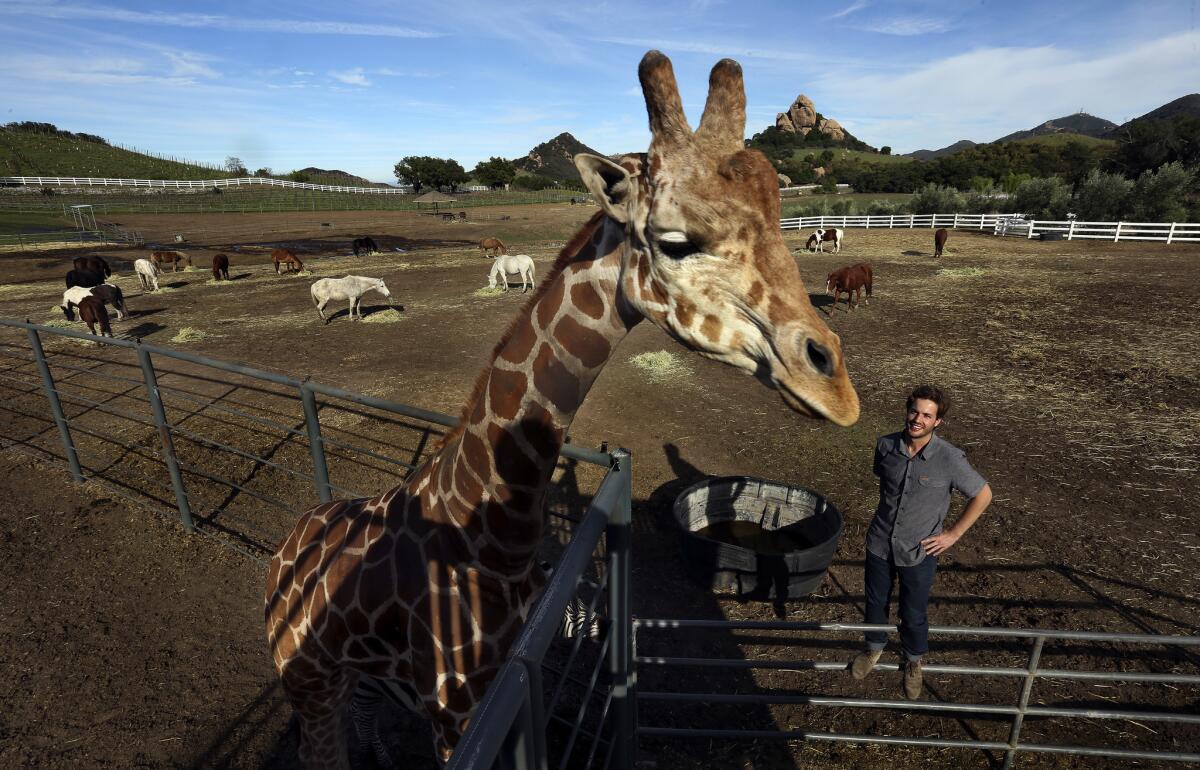
Does Stanley the giraffe need rescuing?
It depends who you ask.
The owners of Malibu Wines, which suffered damage from the Woolsey fire, say the giraffe is OK.
“Stanley is doing fine,“ said Bob Dunn, a close family friend who has helped care for the giraffe since its birth. “He’s completely safe. He’s healthy.”
On Friday, Malibu Wines, which has safari animals, had been evacuated and the animals were not in danger.
But people on social media didn’t buy that after seeing a photograph of the giraffe with flames in the distance. On Twitter, some people insisted Stanley and other animals, including llamas and a zebra, had been left behind with only sprinklers to protect them.
Donation offers and pleas for help poured in, including from celebrities like “Modern Family” actress Ariel Winter and former ‘Nsync member Lance Bass. Khloe Kardashian also posted a series of tweets about Stanley and the devastation the Woolsey fire caused.
Rehana Lodge, who lives in the Beverly Hills area, said some had been in touch with the San Diego Zoo and other animal rescue organizations to possibly remove the animals. The San Diego Zoo could not confirm the reports.
A spokeswoman for PETA said the organization received calls about Stanley.
“Although the fire approached extremely rapidly, it is unacceptable and unconscionable for a facility that keeps animals under lock and key not to have an emergency plan that allows for their immediate evacuation when one is called for—or to give those animals who don’t pose a risk to anyone a fighting chance to escape,” Brittany Peet, PETA’s foundation director of captive animal law enforcement, said in a statement.
The owners of Malibu Wines said repeatedly on Friday that the animals were OK and pleaded for people to stop interfering.
“While we have lost a considerable portion of our barns and facilities, our primary concern is the lives our animal and human families,” the owners said in a post to Malibu Wine Safaris Instagram account. “We have a small number of number of animals unaccounted for but the search is continuing through the night.”
The unaccounted for animals were a couple of horses that ran off the neighbors property, Dunn said. No animals were in the barn that burned down, he said.
The fire burned not far from the two dozen animals in the Malibu Wines safari, Dunn said. But they were protected, he said, because they were in a dirt field with a body of water and plenty of food nearby. The fire would have had no fuel to burn through to reach the animals, Dunn said.
A veterinarian visited the animals Friday night and determined they were healthy despite the smoke.
A portrait of devastation from one Bell Canyon road
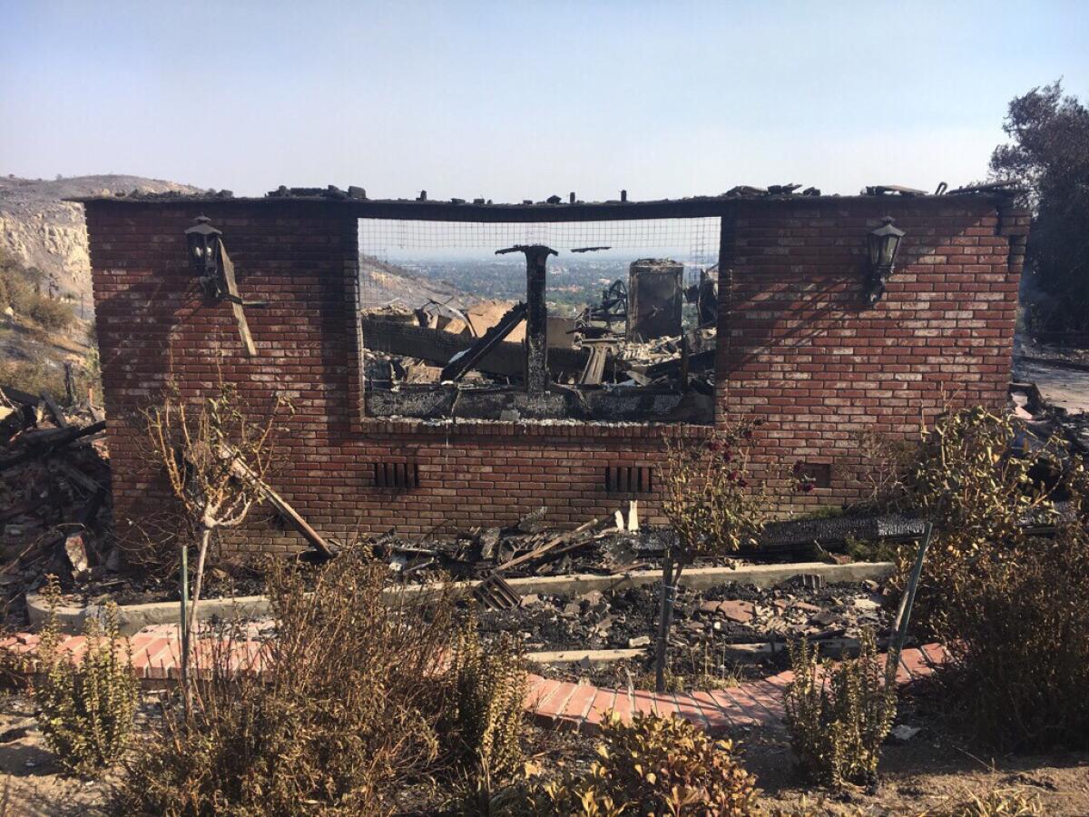
The hardest hit part of Bell Canyon, neighbors say, is Dappelgray Road.
At one home, black railing and inviting steps lead down to mostly rubble. A flower bed sprinkled with small purple and yellow roses remains.
Blackened wood and red brick sit in a crumpled heap at least four feet high. The only thing left standing is a brick wall facing the street, black sconces attached on either side of a missing bay window that frames disaster.
In the driveway, a wooden beam sizzles in the driveway, its center burned out.
At the next-door neighbor’s home, a gas line hisses, sending a steady, bright orange flame into the air. This driveway holds a burned-out pickup truck, its windows blown out, hood and tires melted off.
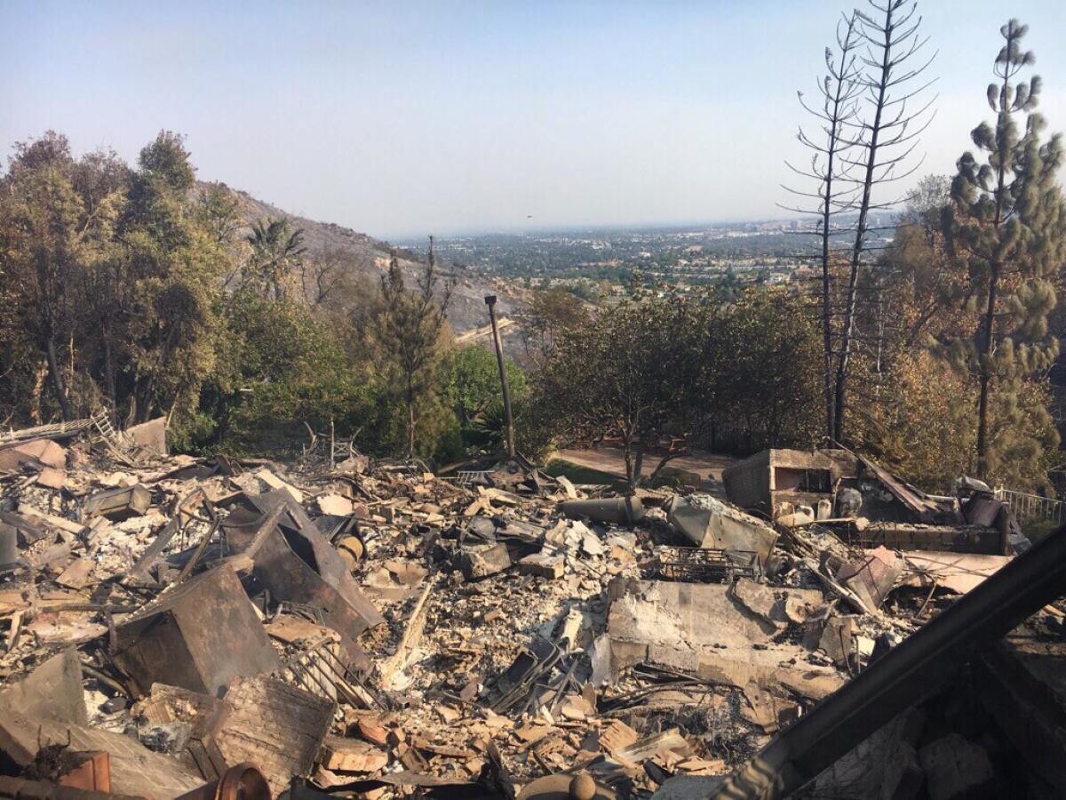
The home exists now only in bits and pieces — chunks of brick that once made a wall, clay pots upended and appliances now just blackened metal hulls.
A small patio in the back retains four wooden chairs, an unscathed patch of grass and breathtaking view of the valley below.
Across the street, another house lost.
Walk past another burning fuel line and through the gate and you’ll find a swimming pool and patio furniture, untouched by flame.
A short distance away, a small gray angel statue watches over the walkway littered with charred logs and crumpled Sheetrock, its crown tinged in black.
Times staff writer Christine Mai-Duc contributed to this report.
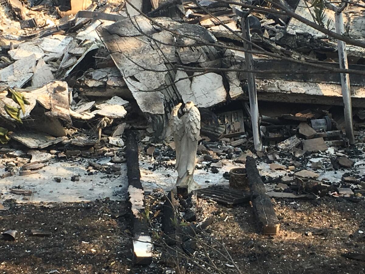
Alpacas and a pony evacuate to Zuma Beach
Bell Canyon residents take measures into their own hands to save their homes
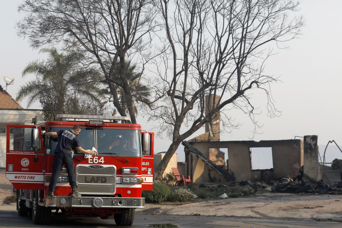
Dr. Eugene Karpus doesn’t remember feeling the heat while trying to rescue his home.
On Friday, as firefighters scrambled to get hold of the fast-moving Woolsey fire, the 59-year-old and a handful of others worked as a team to defend their corner of Bell Canyon in eastern Ventura County.
Karpus, a psychiatrist, worked with fellow neighbors — including a medical courier, a neighbor who recently had brain surgery and a financial officer who works at a local university — to protect their homes, using shovels, axes and water hoses usually used for gardening.
They had no fire training, but they were armed with ferocious determination. Karpus’ logic for staying was simple: “Obviously all big fires start with a small [one],” he said.
The team focused on stamping out hot spots and creating barriers around their homes.
With the Woolsey fire exploding to 70,000 acres over Friday night, firefighters are spread thin.
“There definitely wasn’t enough manpower,” Karpus said. “They cannot be everywhere.”
Bill and D’Marcel Napier took a proactive approach in their attempt to protect their home from the flames. Residents are required to have 100 feet of defensible space around their home. They decided on 200 feet instead.
On Friday, they were grateful for that decision, as the Woolsey fire bore down on their neighborhood.
Though the wind blew directly toward the Napiers’ home, when the fire reached their neighborhood late Thursday night, the flames spared it. The area around their home burned with less intensity because it had less fuel, they said.
They were grateful to the firefighters for their swift efforts. At least four helicopters were in the area when the fire reached their home, they said.
“[Because of] the fact this is where it started, we had great support,” D’Marcel Napier said.
This is the third time their home has been threatened by fire. The first time was in 2004, when they were just building their home.
In Westlake Village, prized possessions and family mementos turned to ashes and dirt
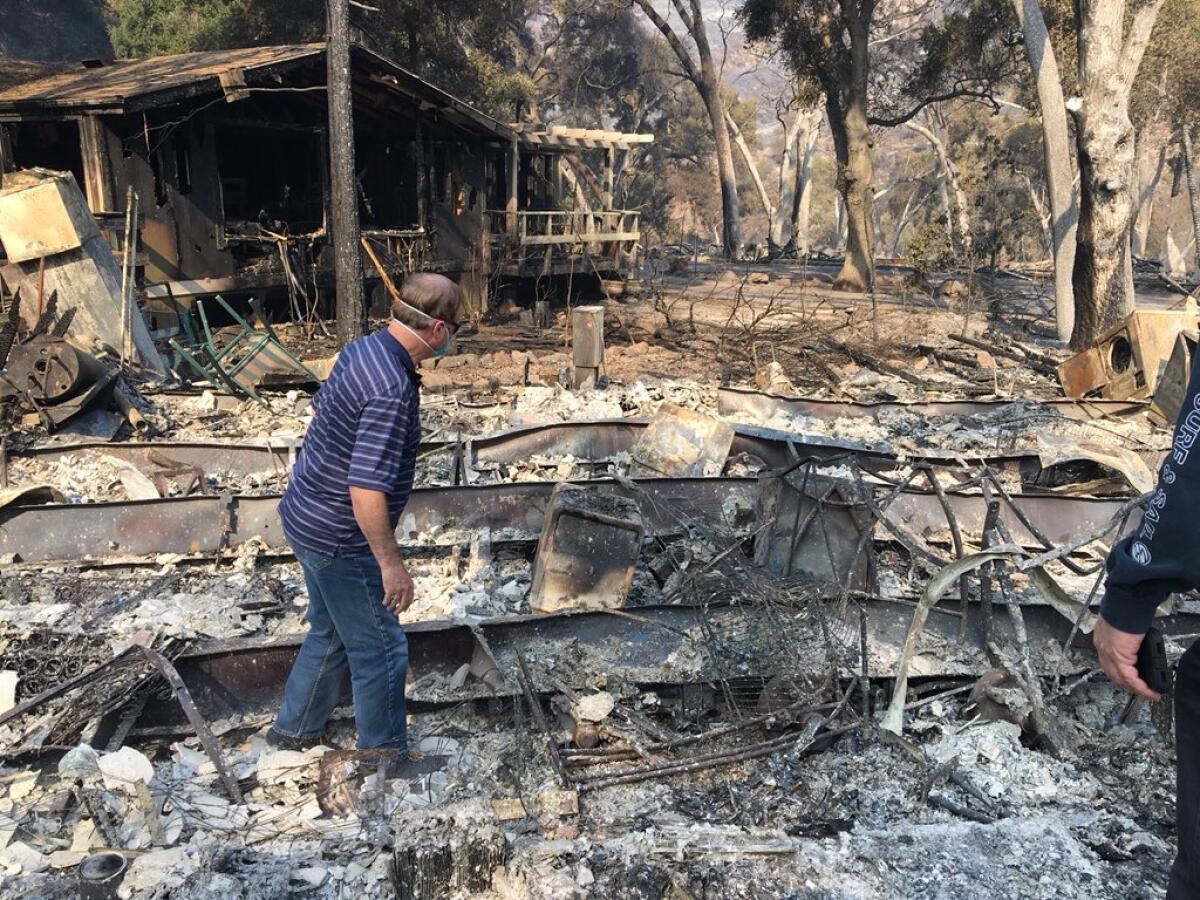
Residents choked back sobs Saturday as they returned to Oak Forest Estates, a mobile home park nestled between the two hillsides in Westlake Village. Hit hard by the Woolsey fire, the community lost about 14 homes, residents said. By Saturday morning, the wind had died down and the air smelled of soot and burning plastic. Ash, twisted metal and charred pieces of wood lay in piles where homes once stood. Blackened juniper trees dotted the barren landscape.
Resident David Spence walked through the wreckage on Saturday. He’d lived in this tight-knit community for 20 years. His home had burned to the ground.
“You want to know a funny story, it was in escrow,” he said. “I was selling it.” Neighbors walked by, offering words of condolences to Spence and holding handkerchiefs to their mouths to guard against the smoky air.
Spence walked around the ruins and found his safe, which stored a gun and important papers, he said.
He pointed to his Triumph TR6, a vintage British sports car that was now a hulking skeleton. “I loved that car, it was a beauty.” He also lost a Lexus and a motorcycle.
Residents in the community are used to fires encroaching on nearby areas, but nothing ever this close, Spence said.
“It was amazing how fast it went,” said Tim Jackson, another Oak Forest resident who lost a home he’d lived in for five years.
Jackson and his family poked through the area where his house burned. “All of the photos of the kids are sitting right there,” Jackson said, pointing to a pile of ashes and dirt.
He said he was frustrated that he hadn’t packed up more of their belongings before the mandatory evacuation order came through around 3 a.m. Friday. Jackson expected the blaze --- at that time in Oak Park — to bypass this community so he didn’t grab much.
“We left thinking we would be OK,” he said.
Malibu resident contemplates a new future after losing his home
Usually swarmed by tourists on weekends, Malibu beaches were desolate Saturday morning. Pacific Coast Highway was also uncharacteristically empty, save for fire engines and police cars screeching down the oceanside thoroughfare.
There were also the holdouts, the residents who hadn’t evacuated and instead slept in their cars in the beach parking lots. Some were still waiting to find out whether they lost their homes. Others already knew they had.
Around noon at the Zuma Beach parking lot, John Ridgway poured water into a collapsible bowl for his Australian shepherd, Rosalynn.
The 66-year-old leaned against his Chevy Tahoe as ash fell onto the navy blue blazer he wore over his soiled white shirt and jeans. His friend had just told him the bad news: Ridgway’s home of 25 years in Malibu Park had burned, along with scores of other houses west of Busch Street.
Ridgway, the chief executive of Novocom, a video design and music branding firm, had been at the parking lot since 8 a.m. Friday. He spent the day anxiously watching the fire grow across the highway.
When the winds changed direction midday, a thick, purplish-black smoke illuminated by an orange glow swept over the parking lot, bearing down on everyone there.
“It was like the gates of hell,” Ridgway said.
It was at that point he first became concerned for his life. He worried that all those cars crowded in the lot might catch fire. He had hardly thought about his house, until he learned that it was gone.
Ridgway, still numb and running out of food, was considering his options Saturday morning. He would probably stay with friends in Los Angeles or Santa Monica tonight, he said.
But now that his home was gone, the future stretched before him like the sand and the ocean — hazy by the smoke, but full of possibilities.
He always wanted to teach journalism, a field he worked in for many years, at Arizona State University. Or he might move to Washington State, which his ancestors helped settle in the 1800s, he said.
Ridgway has lived alone for many years and had a hard time finding a partner, he said, because he was always traveling for work.
“I had just started to think, now would be the time to settle down,” said Ridgway, who is semi-retired. “I thought, wouldn’t it be nice to stay home with the dog and get to know someone?”
Firefighters slam Trump for ‘shameful attack’ about California fires
California firefighters are slamming President Trump for a tweet Saturday in which he incorrectly asserted that this week’s devastating fires were the result of poor forest management.
“There is no reason for these massive, deadly and costly forest fires in California except that forest management is so poor,” Trump wrote. “Billions of dollars are given each year, with so many lives lost, all because of gross mismanagement of the forests. Remedy now, or no more Fed payments!”
California Professional Firefighters President Brian Rice said Trump was out of line.
“The president’s message attacking California and threatening to withhold aid to the victims of the cataclysmic fires is ill-informed, ill-timed and demeaning to those who are suffering as well as the men and women on the front lines,” Rice said in a statement.
“At this moment, thousands of our brother and sister firefighters are putting their lives on the line to protect the lives and property of thousands. Some of them are doing so even as their own homes lay in ruins. In my view, this shameful attack on California is an attack on all our courageous men and women on the front lines.”
The Woolsey fire started near Simi Valley in a hillside area next to the old Santa Susana Field Lab and quickly spread into nearby suburban communities.
Some firefighters took to social media to point out the distinction.
“Mr. President, with all due respect, you are wrong. The fires in So. Cal are urban interface fires and have NOTHING to do with forest management. Come to SoCal and learn the facts & help the victims,” the Pasadena Firefighters Assn. said on Twitter.
Experts have also said forest management was not a factor in California’s two most destructive fires: the Camp fire, which has burned more than 6,000 structures this week in Paradise, and the Tubbs fire last year in wine country.
Forest thinning would not have stopped the Camp fire or Tubbs fire. Fueled by dry grass growing amid scattered pine and oak trees, the Camp fire tore across land thinned by flames just 10 years ago. The Tubbs fire burned grassy oak woodlands, not timberland.
Malibu homes are charred near a desolate Pacific Coast Highway
To save dozens of Malibu condos, firefighters cut an escape hatch for flames in the roof of a home

After high winds caused the Woolsey fire to leap over the Pacific Coast Highway and barrel toward a seaside condominium complex Friday afternoon, firefighters knew they had to act fast to save the Malibu Bay Club community.
Palm trees were catching fire in the complex’s northeast corner and one of the units quickly became engulfed in flames.
“The wind was pushing through here, just making it damn near impossible to put this fire out,” said Santa Barbara County Fire Capt. Bryan Fernandez. Firefighters dumped about 5,000 gallons of water on the flames to no avail.
So one of the firefighters climbed on the roof and used a chainsaw to cut a 4-foot-wide trench through the ceiling. Fernandez said the move helped direct the flames upward and prevent them from spreading to the rest of the building.
“That is probably what saved this whole place from burning,” said Fernandez.
In the end, at least a half dozen condo units were affected. Fernandez expressed regret that they were unable to save all the homes.
But residents were grateful.
“I thought half this place was going to burn down. I thought I was going to be looking for a new home,” said Sean Andrew, 42, who had jet-skied from Channel Islands Harbor in Oxnard — some 18 miles away — to get around road closures.
“There is no doubt in my mind that they saved us,” said Malibu Bay Club resident Ron Grossblatt, 61. He’d watched a condo just above him catch fire on Ebbtide Lane on Friday. “It’s amazing what they did.”
Epic fires send bad air across California
The fires burning across California are not only destroying homes and sending people fleeing from flames, but are creating dangerously poor air quality even for those not directly affected by the blazes.
Many Californians, some as many as a hundred miles from a fire, report thick, gray air in their neighborhoods. School was canceled in some areas because of the smoke, as the danger is worse in places where smoke is visible.
‘The Bachelor’ producers trying to see if iconic mansion used on show survived fire
The Woolsey fire has destroyed some iconic pieces of Hollywood, including the Paramount Ranch, and has threatened celebrity homes.
Now, the producers of “The Bachelor” say they are trying to determine if the house where the show was once filmed survived.
From their statement: “The ‘Bachelor Mansion’ is a private home in one of the current burn areas of Los Angeles. The area has been closed to traffic so we do not know the current status of the home. It is primarily a private residence, and our main concern is with the family who has been displaced, their neighbors, and all the communities impacted by this tragic fire. We thank the tireless efforts of the first responders here in Los Angeles County and across the state.”
Family wakes to terror as flames approach their Bell Canyon home

Surreal scenes unfold as a fire ‘like Armageddon’ barrels toward West Hills
Laurita Gallagher and her family felt prepared for the fire.
They packed their belongings and woke up every two hours Thursday night into Friday morning to check the Woolsey fire’s progress in Bell Canyon. The family knew that if the fire crossed over a ridgeline near their Tudor-style five-bedroom home, they would have to leave.
They didn’t realize how quickly that would happen.
At 5:30 a.m. Friday, the Gallaghers got a warning from their homeowners association that the fire was spreading fast. Soon after, Gallagher was screaming as she and her family rushed into action.
Tall, deep orange flames chewed timber near their home. Before they could scramble into their cars and leave, the fire had already crept to their driveway.
Gallagher’s niece was last in the caravan, and as she left, burning branches landed on her car hood, Gallagher said.
“It happened so quickly,” Gallagher said. “There were embers flying everywhere — our eyes were burning, and we couldn’t keep them open. We tried to put our shirts up against our faces, mostly fearing some embers were going to fall on us.”
The wind was strong and the heat felt like it was blistering their skin as they ran to their cars, Gallagher said.
Before making their escape, the family had sprayed down their house and yard with water, but they wanted to do more,. Since moving to Bell Canyon two years ago, they’ve fallen in love with the serenity of living in the lush wilderness.
Bell Canyon is a safe community with low crime rates, Gallagher said. The fire is the first danger they’ve encountered since moving there.
Their home is already full of memories, she said. Gallagher has an “open house” policy to their friends and family. She’s a caterer, and they know when they visit her, she’ll always have great food for them to try.
Her home is where their family gathers during the holidays. During Christmas, there are at least 60 people in their home. That’s why she and so many other residents felt they had to try to make a stand, she said.
“We all just have to stick together as a community and try to rebuild it and support each other,” Gallagher said.
Gallagher has survived floods and earthquakes, but the Woolsey fire shook her in a way she had never experienced.
“You can’t even explain how you feel and how your nerves get shot, and [in the moment] you really can’t think of anything other than just to save your life,” she said.
Cable, internet and phone equipment damaged by fires
When a mass killing and harrowing wildfire converged on my hometown
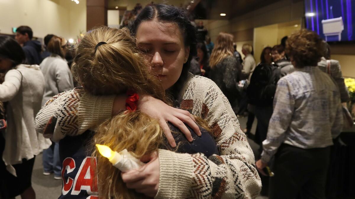
A vigil Thursday night for the victims of the mass shooting in Thousand Oaks was so packed that ushers barred people from entering the auditorium.
Those left outside pressed their faces against the glass doors, trying to watch the service on the TV in the overflow room. As the winds picked up, they zipped up their jackets and hugged their arms to their chests, but they didn’t leave — a show of solidarity with a city touched by tragedy.
Nearby, a group of mourners linked hands and sang “Amazing Grace” under oak trees strung with lights. Inside the auditorium, people gripped battery-powered candles and wiped away tears as they remembered the 12 people who had been killed the night before at Borderline Bar and Grill.
It was the kind of quiet moment we have come to expect after something horrible happens, a respite after the worst is over. But in Thousand Oaks, another disaster loomed.
California’s most destructive wildfire should not have come as a surprise
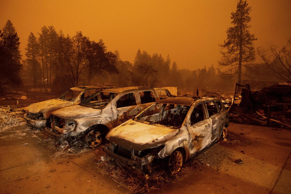
The Camp fire raging in Butte County and the Tubbs fire that torched Northern California’s wine country are a year and 100 miles apart. But they have much in common.
Flames and embers, pushed by strong dry winds out of the north and northeast, setting a town ablaze. Thousands of buildings destroyed. Fleeing residents burned to death.
Both burned their way into the record books by searing areas that have burned before — and will undoubtedly burn again.
By Friday night, the Camp had destroyed more than 6,700 buildings as it leaped across land scorched a mere decade ago in a siege of Northern California lightning fires.
The Tubbs erased entire neighborhoods in Santa Rosa, sprinting across the same oak-studded grasslands blackened a half-century earlier by the wind-driven Hanley, when there were far fewer homes to burn in the region.
California’s wildfire narrative is one of repetition.
Suspected looters arrested in wealthy area burned by fire, two after pursuit
Ventura County sheriff’s Sgt. Eric Buschow said Saturday that three people have been arrested for suspicious activity in North Ranch, an upscale area near Westlake Boulevard and Kanan Road that was evacuated under threat of fire.
Residents reported a man walking around the neighborhood. He was arrested on suspicion of prowling and being in an evacuated area. In the second incident, officers spotted a car driving around. That began a short pursuit after the driver ignored orders to pull over.
“During the pursuit they were throwing out drugs,” Buschow said.
Two men were arrested.
In both incidents, he said there was an intent to loot.
These are the most destructive fires in California history
A day after the worst news event they’ve covered, these journalists faced a relentless inferno
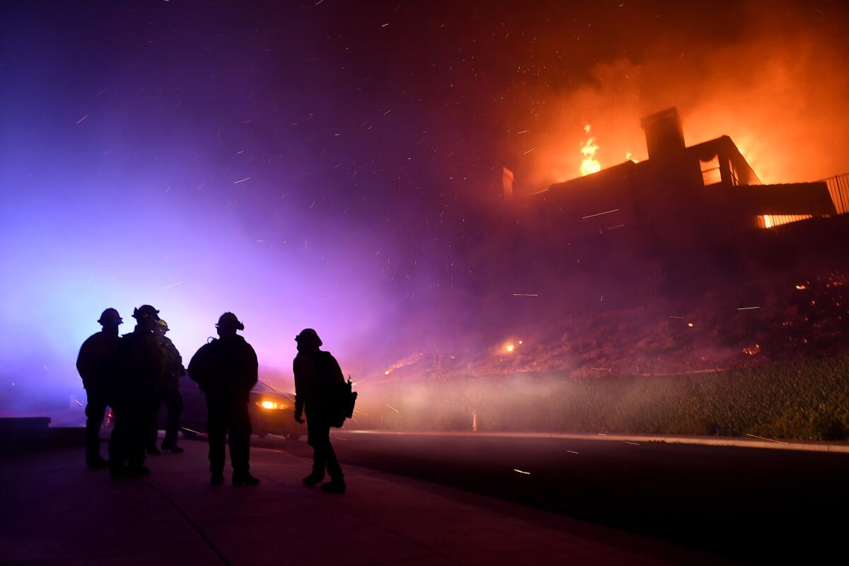
On Wednesday night, Kyle Jorrey looked over the final version of the newspaper and decided it was ready for print. It had been a long day of reporting after the local elections, and he told his staff he might take Thursday off.
Jorrey is the editor of the Thousand Oaks Acorn, a weekly paper that comes out every Thursday. The paper is part of a family of publications that covers nearby communities, including Simi Valley, Camarillo and Agoura Hills.
But after Jorrey got home, he heard about the Borderline shooting. He rushed to the scene and worked till 4 a.m. to get a story up on the paper’s website. He then texted his two reporters: “When you wake up tomorrow, you’re going to be facing the biggest story you’ve ever faced.”
His reporters worked overtime to cover what was undoubtedly the worst news event in Thousand Oaks in decades. And then the next day, they stayed up late into the night while fires raged in the region and led to hundreds of evacuations. Some of his staff were evacuated. The collision of these news events is unbelievable, especially as evacuations create more problems for his staff to deal with, he said.
“There’s just nothing to compare it to,” said Jorrey.
Jorrey’s home wasn’t evacuated, but he only managed to get a few hours of sleep on Thursday night. He was glued to the TV, but not for work this time. He wanted to make sure the fire wasn’t barreling toward his neighborhood.
As the fires moved unpredictably on Thursday night, many locals tweeted Jorrey, asking him if their homes were currently burning. He and his reporters tend to provide more granular coverage of evacuation zones, street closures and damaged neighborhoods than other media outlets, something many have thanked him for on social media.
Jorrey chuckled thinking about how he reacted when he first got the news of the fire. He didn’t want to cover it. He only has two reporters and they were exhausted. But eventually he came around.
“When a story like that happens, you just can’t turn away from it, “ he said. “You’ve got to do it.”
Woolsey fire doubles in size to 70,000 acres
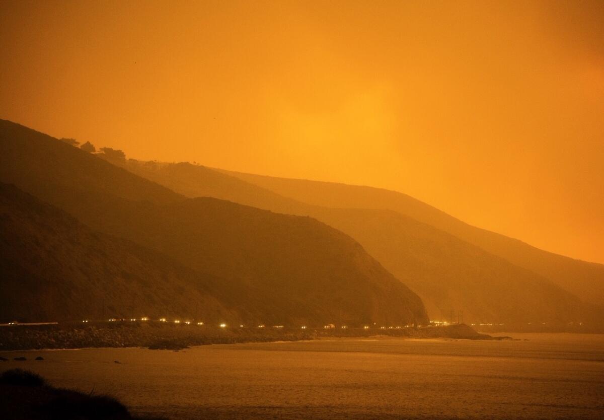
Firefighters battled through the night into Saturday morning to save communities from the raging Woolsey fire, which has exploded to 70,000 acres, destroyed scores of homes and forced 250,000 people to evacuate across a wide swath of Los Angeles and Ventura counties.
The fire spread in several directions, burning homes in Malibu, Westlake Village and Thousand Oaks while threatening parts of Simi Valley, West Hills and numerous Ventura County communities. The fire doubled in size since Friday afternoon.
Trump’s erroneous claims about cause of California fires don’t add up

President Trump on Saturday once again attacked California during destructive wildfires, using erroneous claims.
He said poor forest management policies caused the fires plaguing the state, even though the massive Woolsey fire didn’t occur in a forest.
“There is no reason for these massive, deadly and costly forest fires in California except that forest management is so poor. Billions of dollars are given each year, with so many lives lost, all because of gross mismanagement of the forests. Remedy now, or no more Fed payments!” Trump wrote.
The Woolsey fire started near Simi Valley in a hillside area next to the old Santa Susana Field Lab and quickly spread into nearby suburban communities.
Some firefighters took to social media to point out the distinction.
“Mr. President, with all due respect, you are wrong. The fires in So. Cal are urban interface fires and have NOTHING to do with forest management. Come to SoCal and learn the facts & help the victims,” the Pasadena Firefighters Assn. said on Twitter.
Experts have also said forest management was not a factor in California’s two most destructive fires: the Camp, which burned more than 6,000 structures this week in Paradise, and the Tubbs fire last year in wine country.
Forest thinning would not have stopped the Camp or the Tubbs. Fueled by dry grass growing amid scattered pine and oak trees, the Camp tore across land thinned by flames just 10 years ago. The Tubbs burned grassy oak woodlands, not timber land.
Trump has threatened to cut off funding over fire policy before, but has never been specific. California officials have rejected his criticism and said he’s playing politics.
Environmentalists believe Trump is trying to use fire prevention as an excuse to raid California’s forests.
Some condemned Trump’s tweet.
“The president’s message attacking California and threatening to withhold aid to the victims of the cataclysmic fires is Ill-informed, ill-timed and demeaning to those who are suffering as well as the men and women on the front lines,” Caifornia Profressional Firefighter Assn. President Brian Rice said in a statement.
“At this moment, thousands of our brother and sister firefighters are putting their lives on the line to protect the lives and property of thousands. Some of them are doing so even as their own homes lay in ruins. In my view, this shameful attack on California is an attack on all our courageous men and women on the front lines,” he added.
Several celebrities also spoke out.
“This is an absolutely heartless response. There aren’t even politics involved. Just good American families losing their homes as you tweet, evacuating into shelters,” wrote entertainer Katy Perry.
All-out effort to save Pepperdine University from Woolsey fire
Firefighters staged an all-out fight overnight to save Pepperdine University in Malibu, where hundreds of students and staff were sheltering in place.
The all-out attack by air and on the ground appears to have prevented any major damage. While some outbuildings may have been damaged, the university said no permanent structures were lost. It was a tense night, with those on campus sheltering in several buildings, including the library, as the firefight occurred.
Update from Pepperdine: ‘Flames creep onto campus’
Surreal scenes unfold as Woolsey fire barrels toward West Hills
At Zuma Beach, the Pacific Ocean was obscured by smoke. Horses, dogs and Southern Californians displaced by raging wildfires Friday sought refuge on the sand. The dress code called for protective face masks, not wetsuits.
In Thousand Oaks, many of those still reeling from Wednesday’s mass shooting at Borderline Bar and Grill fled their homes with whatever they could grab on their way to safety.
Crowded shelters turned away panicky evacuees for lack of space. Freeways were closed. Pepperdine University students awoke to texts ordering them to shelter in place.
People like Shirley Hertel turned on television sets in horror and watched the homes they’d fled catch fire.
The raging Woolsey fire roared toward the ocean, with Malibu in its path
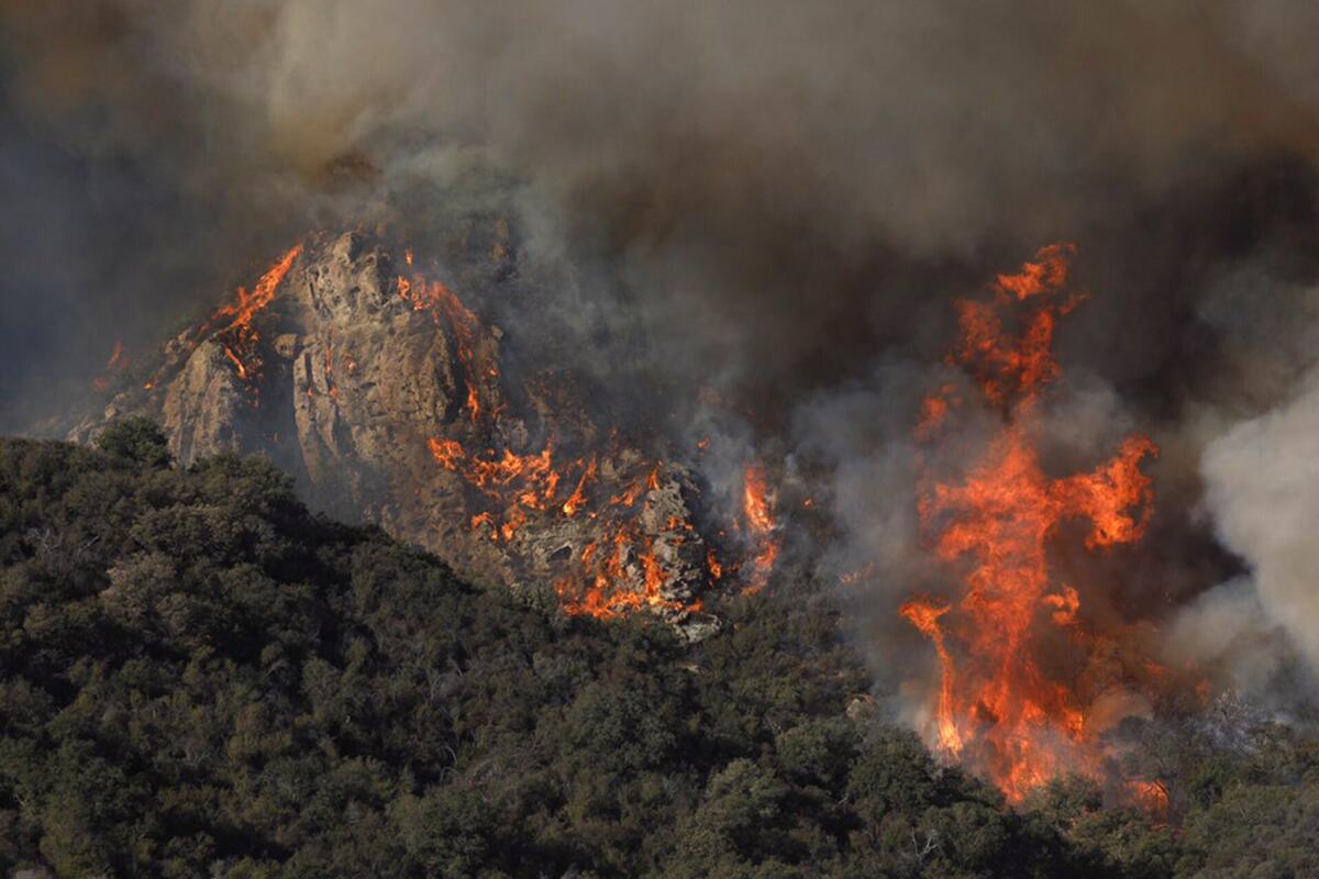
As it roared out of the hills above Thousand Oaks and jumped the 101 Freeway, the Woolsey fire began a relentless march to the sea.
Between the raging front of flames and the water was Malibu.
The order from authorities to evacuate came suddenly about midday Friday, with all of the roughly 13,000 residents of the bucolic, wealthy town told they needed to leave before the fire cut off the remaining escape routes.
People flooded onto Pacific Coast Highway — a narrow, winding road that becomes easily jammed with traffic on a normal day. Officials struggled to manage the gridlock, reversing the direction of the northbound lanes to allow people to flee south away from the fire. Cars inched along, slowed even more by several traffic signals that went dark because of power outages.
Trump’s take: ‘Forest management is so poor’
From Pepperdine: All safe on campus
Mapping the California wildfires
Where to find help if you’ve been displaced by the fires
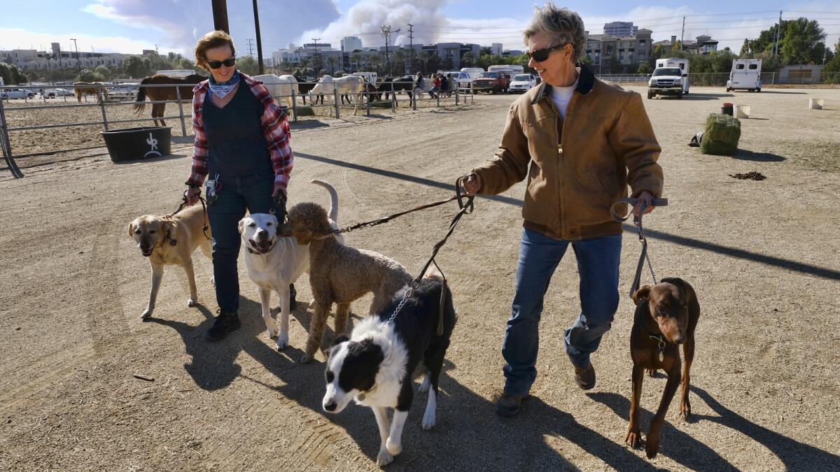
Two bodies are found in Malibu, but officials don’t know if there’s a link to the Woolsey fire
The Los Angeles County coroner’s office received reports Friday night of two bodies found in Malibu, but officials said they could not yet determine whether the deaths were connected to the Woolsey fire that burned through the area hours before.
Lt. Nani Cholakians said coroner’s officials would not go to the scene of the deaths until the Los Angeles County Sheriff’s Department summoned them, and officials did not know the location or condition of the bodies.
“We don’t know ourselves,” she said. “We don’t have any other information except for that.”
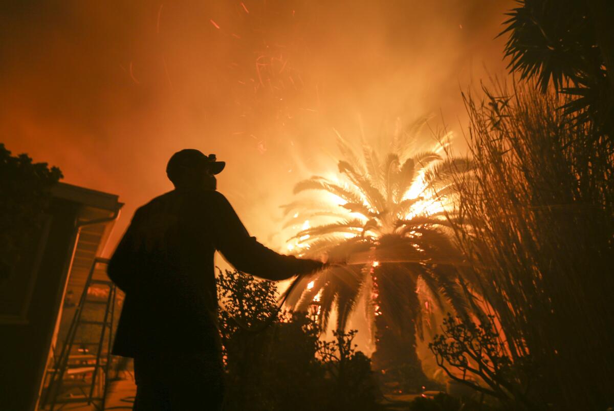
In Bell Canyon, a surreal scene as people escape with animals, then watch from corner as homes burn
At least 50 people stood on the corner of Elmsbury Lane and Bell Canyon Boulevard on Friday night, many with their cellphones out to record the destruction unfolding to the west in Bell Canyon.
Flames were visible from the popular post, burning hot and orange along where the road winds into the small community.
Fire engines were stationed along the road into the community, just in case the fire tried to jump the road and head into West Hills. Burning trees and brush crackled and popped throughout the hillside.
“This is the definitely the worst fire I’ve been through, and I’ve lived here almost 40 years,” Talley Hutcherson said. “If the fire makes it to PCH, what happens? Where do we go from there? Closer to the ocean? Just set the horses free? I don’t know what’s going to happen tonight.”
Kathleen and Eric Lee, who have lived in Bell Canyon for two years, stood on the corner in West Hills wondering whether their home would still be there when they were finally allowed to return.
At 4:30 a.m. Friday, they saw flames running down the hillside toward their backyard, more than 100 feet from their home.
Kathleen Lee rushed to her neighbors’ homes, knocking on their doors until they answered.
Almost no one had electricity or cellphone reception, limiting their access to emergency information, she said. Many in the community depend on devices that boost cell coverage, but they don’t work without electricity.
The Lees tried to hose down their house until a sheriff’s deputy told them to leave at 11 a.m.
Their neighbors were busy trying to protect their livestock.
“It was surreal — we saw people walking their horses, their donkeys, their goats” to a nearby stable, Kathleen Lee said.
Like many Bell Canyon residents, the couple had remained at the intersection for hours, leaving only for dinner. Many residents have slept in their cars, unable to find a hotel, she said.
“There’s always hope they let you back in, but now, I don’t think so,” she said.
“Not with that scene,” Eric Lee added, pointing to the burning glow radiating from the community.
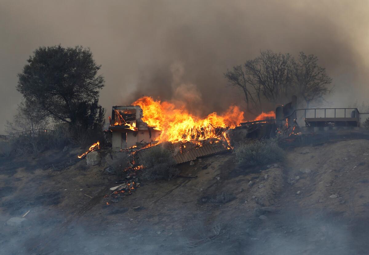
Charlie Sheen posts on Twitter in search for parents, but they are fine
Charlie Sheen put out a call to find his parents, who lived in the fire zone around Malibu.
But hours later, Martin Sheen was found safe with his wife at Zuma Beach by a Channel 11 crew. He said he and his wife planned to sleep in their car.
More than 200,000 residents evacuated as Woolsey fire rages out of control
As the Woolsey fire raged Friday, more than 200,000 residents in Ventura and Los Angeles counties were ordered to evacuate.
“This fire is moving quickly. Conditions are changing rapidly,” said Sgt. Eric Buschow of the Ventura County Sheriff’s Office during an afternoon news conference at the Thousand Oaks command center.
The blaze had grown to 35,000 acres by 4 p.m. Officials said that they did not know how many structures have been destroyed but that damage was extensive. No deaths were reported.
‘He’s lost everything:’ Fire burns into condo complex, and neighbors learn which units survived
Standing along Canyon Ridge Drive, Guy Cohen watched as his neighbor’s condo burned and firefighters battled the flames.
The fire torched the hillside off Ridgeford Drive early Friday, he said, and around 2 a.m. he noticed that the flames could reach his home.
“They came out with the evacuation order,” Cohen recalled. “I wasn’t going to leave, but around 5 or 6 they said the fire jumped the freeway.”
At 1 a.m., a frantic banging on their back patio door: ‘There’s a fire coming’
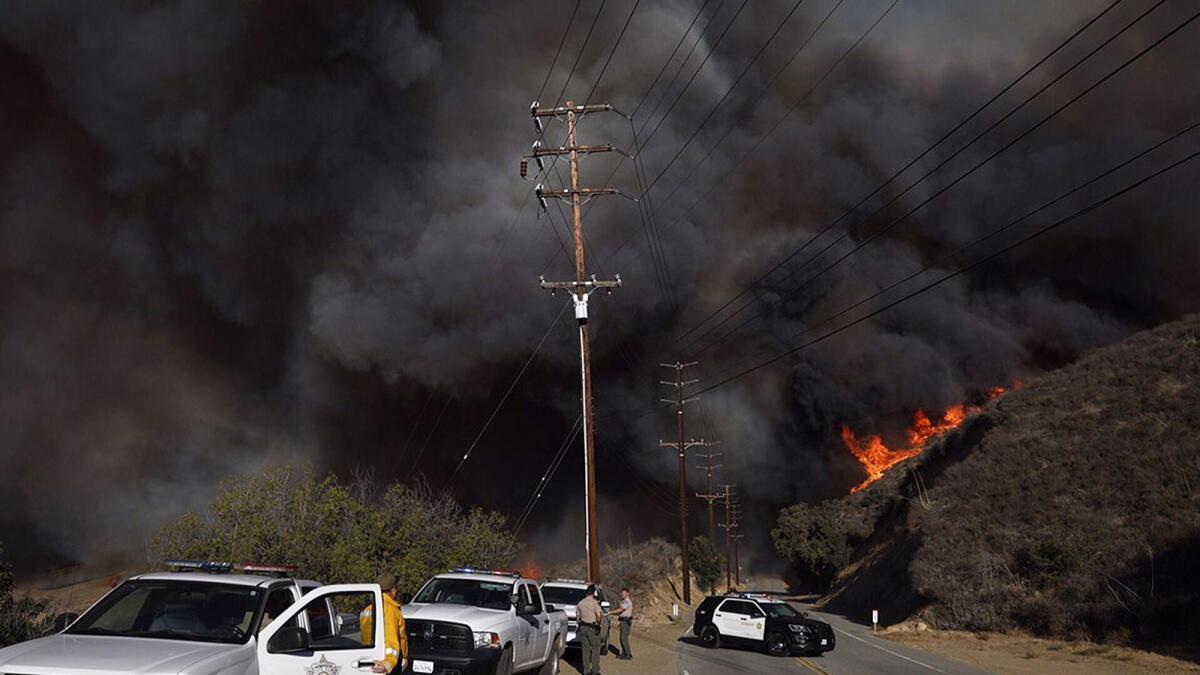
Joe Menz and his wife, Teresa, woke up around 1 a.m. to the sound of their neighbor pounding on their back patio door.
“There’s a fire coming and it’s mandatory evacuation. You better get out now,” he recalled the neighbor telling him.
Startled, Menz wasn’t left with much time to gather things from their home. He grabbed food, water and his medication — things he would need if they ended up having to sleep in the car.
When he and his wife stepped outside, they found their neighbors lined up on the street and trying to catch a glimpse of the fire.
“Every neighbor on both sides was out there,” he said. “We’re all looking at each other like: ‘Now where do we go? What do we do?’”
Menz, who has lived in Thousand Oaks for 35 years, said he could see the flames licking the ridge in front of his home.
“That’s how close it was,” he said.
He said the weather station at his home picked up 55 mph winds Friday morning.
“I thought my back fence was going to blow over,” he said, clutching his backpack.
By 2 a.m., they reached the Goebel Adult Community Center, next door to the Thousand Oaks Teen Center.
Since then, he’s been on the phone with his children to let them know he’s OK. His son, he said, worked for the Ventura County Fire Department as a firefighter before moving away.
“He said, I’m about to jump on a plane and start helping,” Menz said. “I told him that’s not necessary.”
Arita Kronska slept through news that her Westlake Village neighborhood had been placed under mandatory evacuation.
She found out only when her daughter called her Friday morning around 5 a.m., worried.
“I’ve lived here since 1998,” she said, standing on the lawn in front of the teen center in Thousand Oaks with her dog, Yoda. “This is the first time I’ve seen a fire like this.”
Kronska said her home was about 11 miles from the evacuation center. As she stood in her home before she left, she wondered what she should take. She decided on two things: her passport and her dog.
In the predawn hours, she said, her street was eerily quiet.
“Nobody was there anymore,” she said. “It was a very strange feeling...no people, no driving...like in those movies about the apocalypse.”
Santa Monica Mountains communities can’t escape the wrath of the Woolsey fire
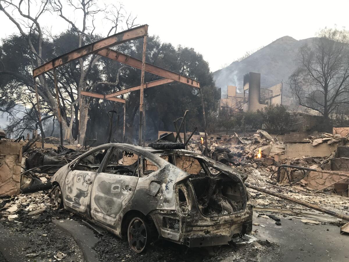
A diner, a bridge, a mansion, a mobile home and a ranch were among the many structures that were destroyed by the Woolsey fire that swept through the Santa Monica Mountains on Friday.
More than two dozen structures were visible from Kanan Road, a long meandering roadway dotted with multimillion-dollar homes that connects Agoura Hills to the Pacific Ocean.
The total number of structures destroyed in the mountain communities is not known. At Kanan and Sierra Creek roads, a mailbox, two pillars, clay roof tiles and mangled kitchen appliances were left as charred rubble.
A business sign with the name Kristy’s stood alone at the corner of the street. Resident Steve Karlovich said he used to go to the diner to play dominoes. He said a 1993 wildfire nearly wiped out the restaurant, but it was spared.
Karlovich said he decided not to leave so he could to try to protect his home. His house survived.
He said the fire was intense. “You look to your right, you look to your left ...” he said, before ending the sentence with an expletive.
Next door, metal beams stood next to a burned white Prius with no trunk, its rims and windows melted by the intense heat. Nearby, a gas meter hissed as it flared.
Less than half a mile away, a small bridge was destroyed at Troutdale Drive and Mulholland Highway. It had broken apart from the road and appeared ready to fall at any moment.
Just before the bridge was the Peter Strauss Ranch, a regional park. The stone walls and chimney of the house were few of the things left standing, everything else was destroyed. The ranch was named after the Emmy-award winning actor.
The ranch had an Italian terrazzo tile concert area where country music legends Johnny Cash and Willie Nelson performed in the 1950s.
At least one truck was left in the middle of the road. Power lines had fallen around every bend, and boulders had come loose from the mountain. Some horses had been left at one ranch but were unharmed.
The fire had warped guardrails and taken down light poles. Several homes along the meandering road were still in flames, others charred and stripped down to skeletons.
Despite losses, some residents are grateful they survived the flames unscathed
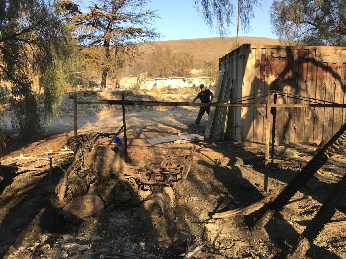
Eric Samways was walking his dog along East Hillcrest Drive in Thousand Oaks Friday afternoon when he saw smoke rising from a small hill on a property nearby.
The house next to the smoke had burned down, and he wanted to make sure the fire wouldn’t spread. The 40-year-old tied his dog to a pole on the street and walked over to where two small logs had caught fire.
Samways knocked on someone’s door, borrowed buckets, filled them with water and got to work. After he put out the flames, he turned his attention to several larger logs that were smoldering, but not on fire.
All around him were the remnants of the front of someone’s home — a large dumpster, the remains of a truck and the skeleton of a motorcycle.
The house that sat on the property about 50 feet away had also burned down, though the home behind it was untouched. “All it takes is for something to fly up in the sky to spread,” he said as he finished tending the logs. “The property next door had paper everywhere.”
Other residents barely escaped total loss.
At around 11 a.m. Friday, Craig Lester grabbed his daughter and wife and started running. The family, who live on Ridgeford Drive in Westlake Village, were surrounded by flames, but miraculously, their home was fine.
“We didn’t think we needed to evacuate. The flames just started to come,” he said.
Lester said that he didn’t receive any evacuation orders. He stood on the edge of the hill near home Friday afternoon and pointed to the ground that was still smoldering.
“I’m concerned the fire could start back up. If it doesn’t get better we will leave tonight,” he said.
Mark Fasano left Westlake at around 5 a.m. Friday. He returned seven hours later to see his townhouse engulfed in flames. He placed his hands on his head. A firefighter walked next to him. “Thank you,” Fasano told the firefighter, who was covered in black ash.
Despite the loss, Fasano is counting his blessings. “It could have been worse,” he said looking at the flames. Fasano is thankful his children are safe and said that he feels lucky he has another house that he can live in. “I’m more upset for the parents who lost their children at the Borderline Bar & Grill shooting,” he said. “Material things can be replaced.”
Groups of people walked along the parking lot of the Goebel adult center Friday morning, some with masks over their noses and others still in their pajamas from their early morning escapes.
Joe Zimmermann and his wife caravanned with their family and friends from their home in Newbury Park around 6:30 a.m. Around four hours later, they stood next to their Ford F-150 and listened to his ham radio.
“We were all a little anxious and wondering where we were going to go,” said Zimmermann, 57.
“And how we were going to get there,” Audrey, 56, added, a mask covering her mouth and nose to protect her from the smoke.
Some friends came over last night, they said, because they live in a trailer park that was threatened by the fire. Another friend, who lives in a mandatory evacuation area, decided to stay in his home.
As she recounted her morning, a stranger walked up and asked if the couple needed any food or water. She grabbed a few bottles, then continued.
“We were asleep when the alert went off,” she said. “It was for another area, so we went back to bed for an hour. Then another alert came, and after the third, we decided there wasn’t any going back to sleep.”
At the time, she said, they couldn’t see the smoke from their home. But they didn’t want to get stuck without a way out.
Before leaving, she went through the house, picking the things she found important enough to save.
“It was easier than I thought,” she said. “I took family heirlooms, photos, and medication. I resolved that this is what I have. And I’m good with that.”
Mapping the fires across California
Dogs and horses fill Zuma Beach as evacuees seek shelter
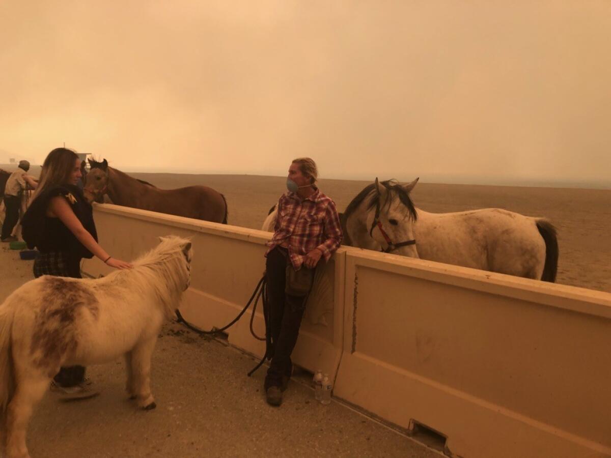
As the Woolsey fire marched closer and closer to Zuma Beach on Friday, evacuees gathered under a pall of smoke and ash. Their horses, dogs, ponies and other pets crowded the sand.
When Talley Hutcherson was ordered to evacuate her Old Agoura home earlier that morning, she didn’t have enough time to properly transport her horses.
“There was just no time to do anything,” said Hutcherson, 57, the owner of Connemara Ranch in Malibu. “Within hours we had to make the decision to come to the beach because the PCH was shut down.”
Hutcherson brought four of her horses down to beach, then drove to a second location to gather another six. She abandoned her car there and rode the horses to the beach with the help of a friend. When she went back to get her car, flames danced 100 yards away.
“This is definitely the worst fire I’ve been through and I’ve lived here almost 40 years,” she said. “It was pretty intense.”
As sirens blared nearby, people had set up chairs and waited. The water nearby was barely visible as a cloud of smoke settled over the waves.
“We spent the day at the beach. Got to look at it through a different perspective,” said Doug Randall, 57.
Carol McNamara, a resident of Malibu, waited to evacuate her home on Busch Drive until she saw flames Friday morning.
“This is heartbreaking — it doesn’t look good,” she said as she and her husband waited at the Zuma Beach evacuation center. The couple feared the worst for the redwood home they built 40 years ago.
“It’s so overwhelming,” McNamara said. “You have 40 years of stuff — photos, child memories. You have to start over. It gives you the feeling of despair and you have no control. There is no way I’m prepared if my house is burned to the ground. Are you resilient? This is a breakdown situation. We think we have control, but not over this beast,” she said.
McNamara coughed as ash rained down on the beach.
“We have had fires before but never like this,” she said.
Here’s how you can help victims of the Camp fire
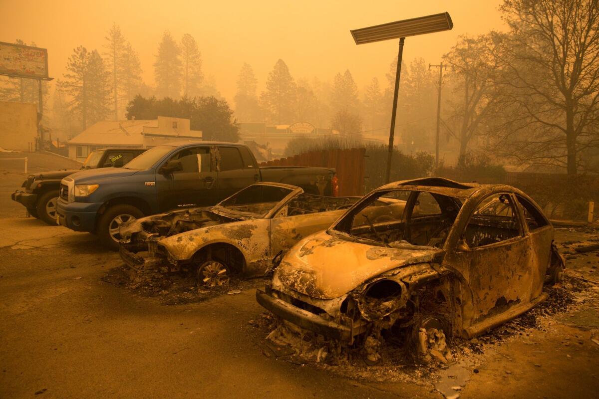
The Camp fire exploded to 70,000 acres in a little over 24 hours and has destroyed as many as 2,000 homes across Butte County, officials said. Thousands of residents in Paradise and nearby Northern California communities have been forced to evacuate their homes.
As the blaze continued to chew through the landscape Friday afternoon, an outpouring of support for victims had begun.
Several nonprofit organizations announced they were accepting donations — either monetary or in the form of supplies for evacuees.
A former Paradise resident, Grant Kerber, set up a GoFundMe account to raise $50,000 for the victims.
“Paradise is where I grew up and a place of immense importance to me,” he wrote. “I ensure every single cent raised (aside from GoFundMe fees) will be spent helping the victims of the Camp fire recover from this tragedy.”
In its first hour, the campaign had raised almost $1,500.
GoFundMe spokeswoman Katherine Cichy said the company ensures the money from all their campaign accounts is distributed to the right people.
The Salvation Army and the Enloe Medical Center are encouraging community members to donate toward relief efforts.
The North Valley Community Foundation has a Camp fire relief fund page on its website. By 11 a.m. Friday, the organization tweeted it was at capacity for donations and was actively deploying resources.
“We are truly heartbroken for our neighbors, families and friends,” the organization’s president, Alex Benson-Valavanis, said in a statement. “Email nvcf@nvcf.org if you are an emergency shelter in need.”
Here’s what California’s fires look like 440 miles above Earth’s surface
Several California fires erupted over the span of 24 hours during a red-flag fire warning that encompassed the entire state. With fierce, gusting winds, the fires grew quickly, exploding thousands of acres in only a few hours.
In Butte County, the Camp fire erupted to more than 70,000 acres overnight after starting just after dawn Thursday. In Ventura and Los Angeles counties, the Hill and Woolsey fires, which began Thursday afternoon, collectively consumed more 20,000 acres.
The smoke from all of the fires were monitored from the skies — 440 miles above Earth’s surface. The National Weather Service released satellite images in a tweet Friday afternoon.
Thick plumes from the Woolsey and Hill fires could be seen drifting over the Pacific Ocean, blanketing the coast’s islands. In Northern California, the Camp fire’s smoke had covered Sacramento and the Bay Area.
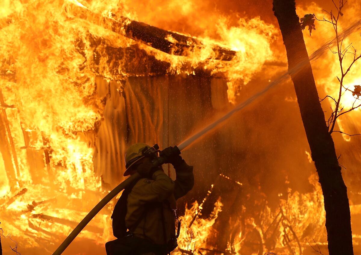
In Chico, people who fled the fire in Paradise gather at emergency shelter, wondering what’s next
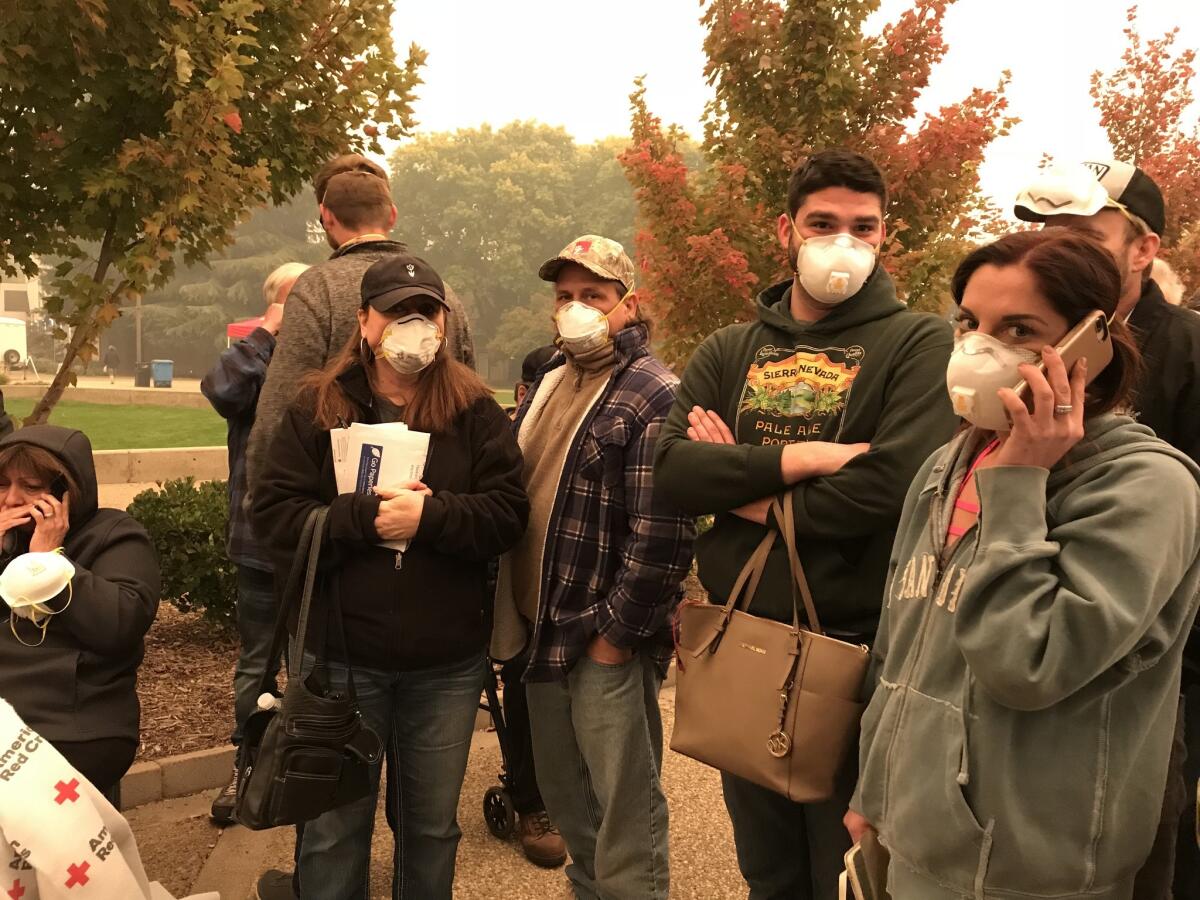
Inside Neighborhood Church, an evacuation center in Chico, blankets were bunched up on green cots. Residents, many from Paradise, sat next to the few things they were able to bring with them in the rush to flee their homes: prescriptions, purses, papers and pets.
In the hallway, people registered with Red Cross workers to help reassure friends and family members they were safe.
Outside, people wandered in the chilly air, masks covering their faces, as bits of ash fell like snowflakes from a red sky. Some watched news coverage of the Camp fire on a television near the entrance of the church, or walked their dogs around the parking lot. Others stood in lines for food or to speak with insurance companies, which had set up mobile booths.
Billie and Scott Salsbury relived a horrifying morning while waiting in line to speak with a Farmers Insurance agent. Like most other Paradise residents, they awoke Thursday to flames threatening their home. A house on their street had begun to burn.
“I called 911 and they said we have 400 calls before you,” said Billie Salsbury, 55.
The Salsburys and their son gathered their things quickly and drove to the end of the road, where they met bumper-to-bumper traffic.
Not long after, the slow-moving line of cars turned into a small valley with heavy brush along the side of the road. Traffic stopped. Officials closed the road ahead and behind them because of approaching flames.
“All we could hear is explosions around us,” said Scott Salsbury, 56, describing the panic and anxiety as the couple sat in the car, unable to go anywhere.
Police reopened the road ahead after 30 minutes, and the two drove to Chico to stay with their daughter.
“Where are we going to live?” Billie asked, tears welling in her eyes. “That’s my thing.”
In front of them in line, Marty Nelson, 60, stood with his son.
A retired nursing supervisor for the state, Nelson said he moved to Paradise from Hidden Valley Lake, a fire-ravaged community in Lake County. The 2015 Valley fire scorched his property and burned six houses on his block, he said.
“One of the reasons we wanted to move was to get away from the fires,” he said. “Now there’s a strong possibility that my house was lost. I don’t even have a suitcase.”
Comcast opens free hot spots in Butte and Yuba counties for Camp fire communications
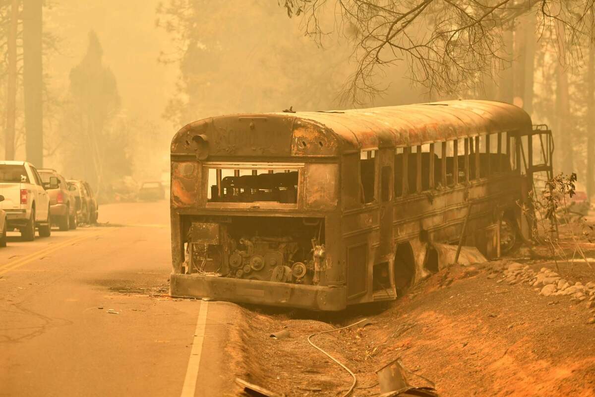
Comcast has opened 3,200 Xfinity Wi-Fi hot spots throughout Yuba and Butte counties in Northern California to help residents and emergency personnel stay connected during the Camp fire, the company announced Friday.
The hot spots are free and are available to anyone, regardless of whether they are Xfinity customers. They are located indoors and out in places such as shopping districts, parks and businesses. For a map of locations, click here.
Images from space shows California fires
High winds and dry conditions have exacerbated fires in Northern and Southern California causing deaths, destruction and evacuations. This NASA photo shows the massive smoke moving west as the fires rage.
Thousand Oaks resident sees her house burning on TV
Shirley Hertel returned to her Thousand Oaks home Friday morning after watching it catch fire on TV just hours before.
The sight left her in tears.
Clutching her phone and singed newspaper clippings, she stood in her driveway and wept. Her daughter’s car, parked in the driveway, was reduced to its metal frame. The garage door and her daughter’s bedroom above it were burned too, the frame and windows now an ash black.
Text alerts and a message from her cable provider left on her TV screen urged Hertel, 68, to leave her house in the wee hours of the morning. She left around 1 a.m.
Before getting into the car, she stopped at the front door. She gave it a kiss and prayed to God that her house would still be there when she returned.
“I left thinking everything would be OK,” she said through tears. “You don’t think your house will burn down.”
Hertel recalled the feeling of the heat of the flames across the street when she left. The home directly across from hers was spared, but another across the street was reduced to a single brick chimney.
She returned around 5 a.m., when police were still there. An officer let her inside for about five minutes — enough time to grab a few of the memories of her mother she had left behind, including an old painting of the Santa Monica pier. She initially took photos of her daughter’s, important documents and a large photo of her mother, who died two years ago.
“It’s like that saying, you don’t think it would happen to you,” she said. “I’m just lost for words.”
Hertel learned that her home had been burned after a friend told her she saw it on TV. She immediately went to her niece’s house, frantically knocking on the door. She needed to watch the news, Hertel told her.
“It was so surreal.”
Walking though the home late Friday morning, Hertel stopped at her daughter’s room at the top of the stairs. The window had blown out, and the bed and dressers were covered in ash. The ceiling fan and walls were left with scorch marks and peeling paint.
“This is unbelievable,” she said of her daughter’s room. “This is her safe haven, her room. It’s no longer habitable.”
She paused, tears streaming down her cheeks.
“How a fire can change your life in a few days,” she sobbed.
As she surveyed the home, her husband, her niece and some friends tended to the damage. They hoisted wooden boards and drilled them into where the windows once were.
Hertel stepped into a room and came back out with a ceramic rabbit.
“Look what made it,” she mused. “My good luck charm.”
In the backyard, much of her furniture was strewn across the patio; burned magazines littered the floor. The fence separating her yard from her neighbor’s was wrecked.
“I don’t even know that I even understand what happened here,” she said.
She took the fire — and the water damage she had just fixed in her home last month — as a sign that she should leave the city she’s lived in her entire life, she said. Her other daughters and granddaughter live in Kentucky, she said, and she wants to watch the little girl grow up.
“This will always be my home, but Kentucky is where I’ll live,” she said.
Evacuees displaced by both Hill and Woolsey fires
Taft High School Principal Daniel Steiner, a Newbury Park resident, headed back to school with his family early Friday morning.
His wife, two young children and dog camped out in his office as he tried to get his school — now an evacuation center— up and running. The fires and the mass shooting Wednesday night at Borderline Bar and Grill had led to some jangled nerves for both his family and his students.
“We feel safe, but no community is safe from these type of events,” Steiner said.
His family relocated to his mother’s home in Eagle Rock, but he’s still trying to keep in touch with the families of students who may have been evacuated.
Staying busy is key. He already had logged 11,000 steps by 11 a.m.
“Being calm at this time of stress and disaster is key,” he said. “I’m trying to keep it inside. Sometimes I need to close my door for a minute.”
For the dozens of evacuees taking shelter in the high school, it has been a stressful couple of days.
Chimo Casanova, 69, had been displaced twice.
Thursday afternoon, as the Hill fire’s flames were nearing his home of 16 years, the Dos Vientos resident got word that he needed to get out. He and his wife decided to go to his daughter’s home in Oak Park, but the next morning, the flames from the Woolsey fire caught them. Casanova, his wife, son-in-law and two grandchildren headed to the Taft High School evacuation center.
“The kids think this is the best thing ever,” Casanova said.
His 7-year-old grandson jumped from bed to bed in the gymnasium.
The Taft High center, which holds about 150 beds, has been at capacity all morning, and some were unable to enter.
Tracey Moechel wasn’t allowed in because she brought her pug, Mugsy, who is 11 1/2 years old. So she sat on a folding table in the gym’s atrium as Mugsy sat in his stroller.
After sleeping for just an hour, Moechel woke about 3 a.m. to find a Los Angeles police officer knocking on the door of her Agoura Hills home. It was time to go, and she called an Uber, which took 17 minutes to arrive.
“I got lucky someone came,” Moechel said.
Both Moechel and Casanova wondered about the state of their homes. They still haven’t heard anything and aren’t sure where they’ll spend the night.
Residents scramble to gather belongings and find shelter in Thousand Oaks evacuation centers
Arita Kronska slept through news that her Westlake Village neighborhood had been placed under mandatory evacuation as the Woolsey fire showed no signs of slowing.
The 62-year-old only found out when her daughter called her Friday morning around 5 a.m., worried.
“I’ve lived here since 1998,” she said, standing on the lawn in front of the Thousand Oaks Teen Center with her dog, Yoda. “This is the first time I’ve seen a fire like this.”
Kronska said her home was about 11 miles from the evacuation center. As she stood in her home before she left, she wondered what she should take. She decided on two things: her passport and her dog.
In the predawn hours, she said, her street was eerily quiet.
Joe Menz and his wife, Teresa, also had an early morning. They woke up around 1 a.m. to the sound of their neighbor pounding on their back patio door.
“There’s a fire coming and it’s mandatory evacuation. You better get out now,” he recalled the neighbor telling him.
Startled, Menz wasn’t left with much time to gather things from their home. He grabbed food, water and his medication — things he would need if they ended up having to sleep in the car.
When he and his wife stepped outside, they found their neighbors lined up on the street and trying to catch a glimpse of the fire
“Every neighbor on both sides was out there,” he said. “We’re all looking at each other like, ‘Now where do we go? What do we do?’”
Menz, who has lived in Thousand Oaks for 35 years, said he could see the flames licking the ridge in front of his home.
“That’s how close it was,” he said.
He said the weather station at his home picked up 55 mph winds Friday morning.
“I thought my back fence was going to blow over,” he said, clutching his backpack.
By 2 a.m., they reached the Goebel Adult Community Center, next door to the Teen Center.
Since then, he’s been on the phone with his children to let them know he’s OK. His son, he said, worked for the Ventura County Fire Department as a firefighter before moving away.
“He said, I’m about to jump on a plane and start helping,” Menz said. “I told him that’s not necessary.”
Ventura and L.A. County residents crowd evacuation centers, fleeing from Woolsey fire
Debbie Sneed-Barnett and her husband, Mike Barnett, slept in their minivan in the Pierce College evacuation center’s parking lot with their three boys — ages 4, 5 and 11 — two dogs and a cat.
“It was chaos in there,” said Sneed-Barnett, 37.
About 900 evacuees fleeing the Woolsey fire had checked into the evacuation center by 8:30 a.m. Friday, and a second gym would soon open to meet increasing demand, said Rolf Schleicher, vice president of administrative services at the college.
All still wearing pajamas, the Barnett family had left their home in Thousand Oaks at 3:30 a.m. and grabbed breakfast at Denny’s. It was the family’s first evacuation, and everyone was fighting a cold. Before leaving, Sneed-Barnett grabbed her son’s breathing machine and her parents’ wedding photos.
Sneed-Barnett said she still hasn’t processed the fact that she may lose her home near the Borderline Bar and Grill, where a mass shooting had occurred just the day before.
“I kind of haven’t thought of what comes next,” she said, her hand resting on 5-year-old Kaden’s shoulder. “If I do that, I’ll cry, and I have to stay strong for them.”
Outside Pierce College’s main gymnasium, antsy dogs and crying babies were being comforted by their guardians. Inside, evacuated weary residents of Los Angeles and Ventura counties sat on cots and nibbled on pastries.
This was the third evacuation center Isabele Navarro and her family had visited after fleeing their Thousand Oaks home at 2 a.m. They tried the Thousand Oaks Teen Center first, but it was full. So was Taft Charter High School in Woodland Hills.
A family friend had just called her with bad news. The flames had reached Navarro’s neighborhood and consumed a church across the street from her apartment complex. Navarro and her husband, Gilbert, do not have renter’s insurance.
“If we lose every little thing we have, it would be awful,” she said.
Navarro’s 19-year-old daughter, Liz Garcia, looked exhausted as she sat on a cot with her family, picking at a cinnamon roll. She said she was worried about her home, but also thinking about those affected by the Borderline shooting.
“In less than 24 hours, it’s just too much, she said. “I don’t know what to deal with first.”
Pepperdine University shelters in place as traffic inches along the Pacific Coast Highway
About 1,200 students were sheltering in place at Pepperdine University in Malibu Friday afternoon as evacuation traffic inched along the Pacific Coast Highway nearby.
Students were directed to either the Tyler Campus Center, a student life center that houses the cafeteria, or the Firestone Fieldhouse, the main athletic facility on campus.
Derek Swanson, an 18-year-old student, got a text message Friday at about 7 a.m. to shelter in the cafeteria.
“The entire school is in there,” he said as he waited for his mother to pick him up.
Connie Horton, the vice president of student affairs at the school said that the process went “surprisingly orderly,” and said students were hanging out in designated areas.
Dozens of cars crept along the Pacific Coast Highway as they tried to evacuate from the fire.
Siobhan De Clair and Layla Tipton-Ortiz, both 18, blasted Kesha as they waited in the slog of traffic on their way to Laguna Nigel in Orange County. The two Pepperdine students, who share a suite on campus, were awakened at 6 a.m. to news of canceled classes and evacuation orders.
The women packed a bag and went to the cafeteria by 7:30 a.m. as instructed by school officials. But Tipton-Ortiz’s father told her to come home, and to bring De Clair too.
“All the stuff that happened yesterday too, it’s just like everything happened all at once,” Tipton-Ortiz said. “It’s so strange. It’s sketching me out.”
In another car was Quinn Kuriger, 22, of Calabasas, who found refuge Thursday night at a friend’s Malibu home. But as the fire moved further south, he was forced to move again. This time, Kuriger gathered his belongings and headed to Santa Monica.
He’d been in the line of cars for at least two hours. The most he’s seen of the fire is the large cloud of smoke nearby.
“It’s kind of intimidating,” he said.
At the 76 gas station off PCH, power had been out since 9 a.m., leaving the station without functioning pumps. People paid cash for water and snacks inside the station.
Residents in the area faced a tough decision: brave the congested highway with little to no gas or wait for the power to be restored.
On the highway nearby, people began driving on the wrong lane and turning into a single-direction artery going south.
John Rodrigue of Malibu waited for the power to be restored. Rodrigue’s El Nido neighborhood in Corral Canyon was under mandatory evacuation. When he looked at his gas gauge and the traffic backed up for miles on the PCH he feared he might get stranded.
“We won’t want to run out of gas on the PCH,” he said as he walked his dog, Ellie. His fiancée sat inside their car parked near more than a dozen other vehicles waiting for gas.
Maribel Palencia, 45, of South L.A., had commuted to her housekeeping job on Broad Beach early Friday morning. She evacuated around 9 am and it took her 3 hours to get to Corral Canyon, only about seven miles away. By then, she had almost run out of gas.
“I feel very worried because I have no gas or phone reception and I know it is coming,” she said as she pointed to a smoke plume.
-- Times staff writer Ben Poston contributed to this report.
Westlake Village homeowner waters empty house to save his own
Rafael Garcia, 58, ran and grabbed a garden hose, tossed it through his home’s fence and hopped over.
He quickly began spraying water as portions of the home’s porch fell apart. The house had been vacant for more than two years, but Garcia wanted to make sure the flames didn’t spread to his own home.
“I don’t think they care if this house burns,” he said, rushing to pour water on the flames. “I’m trying to save our homes.”
Several minutes later, a firefighter showed up. Garcia quickly asked: “What else can I do?”
“This will keep smoldering. If it burns, it will stop here,” the firefighter said, pointing to the pool.
“Ah, OK,” Garcia said, marching over to the other side of the porch to put out flames.
“You want to just focus on the flames. Don’t let it get to the wood,” the fire official warned, pointing to a wooden rail that connects to the house.
Western Town movie set at Paramount Ranch in Agoura Hills used in ‘Westworld’ is destroyed by Woolsey fire
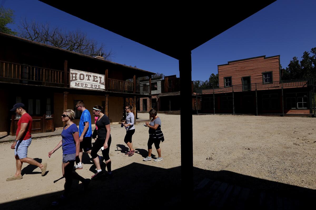
Western Town, an Old West film set at Paramount Ranch most recently used in the HBO show “Westworld” has been destroyed by the Woolsey fire, officials said.
Officials with the Santa Monica Mountains National Recreation Area tweeted Friday shortly before noon that the famous set in Agoura Hills was no more.
The set has been featured in several films since the 1940s, from 1941’s “Caught in the Draft” starring Bob Hope to 2006’s “The Lake House” starring Sandra Bullock.
Paramount Pictures leased the ranch property in 1927, and, although it was sold in 1955, it continued to be used as a film set and tourist attraction over the years, according to the National Park Service.
“The area is in an active part of the incident, and we cannot access it,” officials said in a tweet.
HBO officials said that Paramount Ranch was used as a filming location for seasons one and two of “Westworld,” in addition to the primary location at Melody Ranch in Santa Clarita.
“Westworld is not currently in production, and as the area has been evacuated, we do not yet know the extent of the damage to any structures remaining there,” the company said in a statement.
“Most importantly, our thoughts go out to all those affected by these horrible fires,” the company said.
-- Times staff writer Meg James contributed to this report.
This couple spent 3 years renovating their home in Paradise. Then the Camp fire broke out
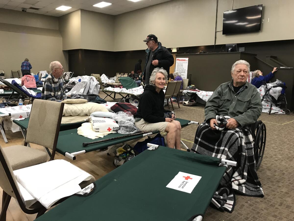
Mary and Richard McConnell began renovating their two-bedroom, two-bathroom home in the heart of Paradise in 2015. They spent the last two weeks living at the Best Western on Clark Road as workers stripped off the popcorn ceilings and retextured the walls in the last room.
Carpets were going in Thursday, and they had expected to move back in Friday.
“It’s just kind of ironic,” said Mary McConnell, 70. “You get the house finished, and a fire takes the whole thing.”
She woke up at the motel Thursday as large chunks of ash were falling from the sky. Concerned about losing important documents, she took off toward the house to round up insurance papers and her husband’s wheelchair.
After leaving the house, she got a call from the hotel manager. He told her he was with her husband, who suffers from dementia, and they were the last people there. McConnell drove back and picked up her husband and headed for Chico. It took them 5½ to drive 15 miles, she said.
“It’s pitch black because the sun hasn’t come through, and all you can see is flames,” she said.
The couple were among 370 people who slept at a Red Cross shelter at the Neighborhood Church in Chico on Thursday night. On Friday, the sky outside the shelter was red and smoke had blocked out the sunlight.
In just hours, notification center for families of Thousand Oaks shooting victims becomes a shelter for fire evacuees

The Thousand Oaks Teen Center was where, only a day ago, relatives sought information about loved ones after the Borderline Bar and Grill shooting. Some received the worst news of their lives.
Now, the same center is being used as a shelter for residents who have been ordered to leave their homes because of the raging Woolsey fire, which as of Friday morning, had scorched 14,000 acres in Los Angeles and Ventura counties.
Around 1 a.m. Friday, Judy Goodman, 70, heard a loud crash in her living room and found pieces of glass shattered all over her Westlake Hills home.
Stunned, she found that a tree had crashed through her roof, propelled by strong winds. Minutes later, she heard a pounding on her door. Police officers told her she had to leave, as the fire was nearing her home.
Goodman grabbed some socks, her dog Joey and a few pictures of her children and drove to the teen center.
“It’s just one thing after another. I was crying all day yesterday because of the shooting and now this happens,” she said.
Goodman said she was thankful she found a safe place to rest, but was distraught when she learned that the center was where people on Thursday heard grim news.
“I can’t believe it,” she said.
Victoria Frost, 55, stood outside her white BMW in the parking lot of the center in pajama bottoms and a long-sleeve shirt. Over the last 48 hours, Frost, of Thousand Oaks, said she hasn’t slept much.
Frost lives near the Borderline and heard the pops of gunfire, then spent the rest of the night in front of the TV, watching the news.
Less than a day later, Frost was where she had seen the news cameras filming grieving relatives.
“This is awful,” she said.
Ready for an evacuation? Here’s what to pack
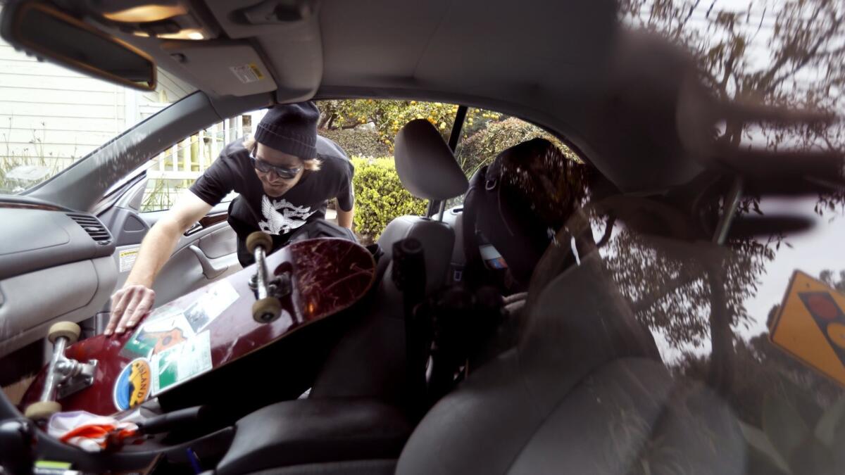
One key to getting through any emergency situation is preparation.
The first thing to pack should be your “go bag” of essentials. That, experts say, should include:
- Water and nonperishable food
- A flashlight
- A first aid kit
- Batteries and chargers for your devices
- Several days’ worth of clothing — including coats, pajamas, underwear and socks
- Moist towelettes, garbage bags and plastic ties for sanitation purposes
- A battery- or crank-operated radio
- A whistle to signal for help
- Local maps in case GPS isn’t working
Beyond that, there are six categories of things to pack if you need to evacuate.
Ex-soccer star Eric Wynalda loses home to massive Ventura fire
It’s bad enough when you’re evacuated at 3 a.m. because flames from a raging wildfire are just across the canyon. The experience becomes even rawer, even more visceral, when you see them engulf your house on television.
That’s what happened to former U.S. soccer star Eric Wynalda on Friday, as the massive fire in Ventura County claimed his house in Westlake Village.
“Gone,” Wynalda said in a text. “Brutal … Watched it burn on live TV.”
Five found dead in cars in Camp fire; officials expect death toll to increase
At least five people have been killed in the Camp fire in Butte County, officials said Friday morning.
The victims were found in vehicles that were overtaken by flames, and because of their burn injuries, they could not be immediately identified, the Butte County Sheriff’s Office said in a statement on its Facebook page.
The Sheriff’s Office has received multiple reports of other fatalities in the area and is working to confirm the deaths, but hazards and the active fire make it a difficult task, officials said.
Gunfire, smoke and flames weigh heavily on these Westlake Village residents
Romina Sandjan and Jim Young stood together, watching smoke rising behind a row of homes on a ridge in Westlake Village.
Sandjan, 56, a short woman with a soft voice, worried about the fire. The orange and dark gray skies reminded her of the homes she lost to wildfires in the Philippines.
“I’m fearful,” she said.
Young, 70, tall and with silver hair, said he was nervous.
“I’d like to see them put it out. I’m hoping for the best,” he said.
The shooting rampage at Borderline Bar and Grill that left 13 dead just over a day before gave Young flashbacks.
He had been in Las Vegas when a gunman opened fire on a crowd of people attending the Route 91 country music festival, leaving 58 dead. Young was on the Strip, but he had friends who were at the concert.
They weren’t injured, he said, but didn’t imagine that after moving to one of the safest cities in California, he would need to relive the same experience.
“It brought back memories,” he said.
Sandjan and Young looked up at the smoke again. The winds had calmed and the smoke nearly dissipated.
“Still nervous,” Young said.
Sandjan’s phone rang. It was her son calling from Pierce College, which was designated an evacuation center for those fleeing the Woolsey fire.
As firetrucks roared down street, curious neighbors drove up the hill to see the fire for themselves. Young stood quietly watching. It’s all he could do as the fire raged on somewhere up there, behind the hill.
A woman driving down the road stopped her car to check on the fire.
“Those hills are on fire. You should probably leave,” she said, getting in her car.
Young nodded and walked to the middle of the street to look.
Acting Gov. Gavin Newsom declares state of emergency
Rams cancel practice because of evacuations caused by area fires
Due to the relocation of some players, coaches and staff caused by area fires, the Rams canceled Friday’s practice and media availability, a team spokesman said.
The change in schedule comes a day after the Rams were coping with the mass shooting that occurred about four miles from their practice facility at Cal Lutheran University in Thousand Oaks.
Portions of Thousand Oaks, nearby Westlake Village and Calabasas were among the areas under mandatory evacuation orders Thursday night and Friday because of fires.
Camp fire in Northern California explodes to 20,000 acres
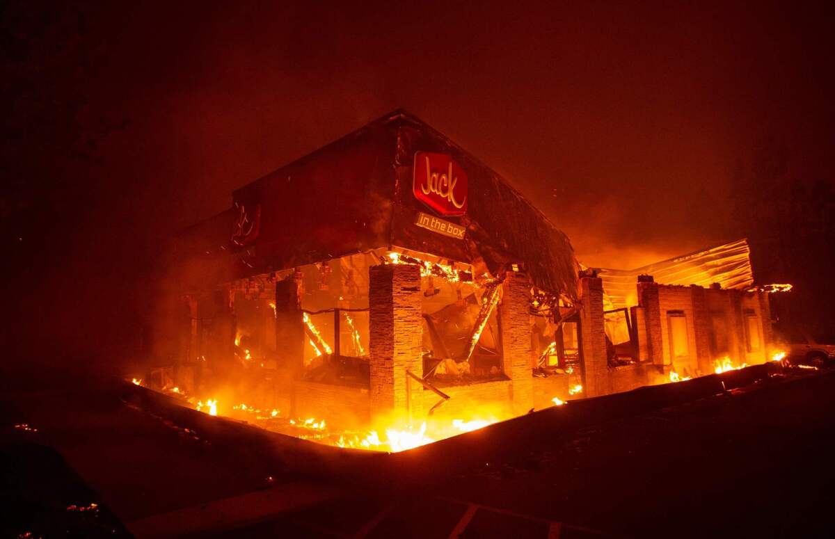
Firefighters on Friday continued to battle the Camp fire in Northern California, where at least 1,000 structures were destroyed and residents had to run for their lives as the fast-moving blaze swept across parts of Butte County.
The fire, which started about 6:30 a.m. Thursday, had grown to 20,000 acres overnight, according to the California Department of Forestry and Fire Protection.
Family evacuated from Thousand Oaks home after 24 hours of tragedies
It had been a hellish 24 hours for Thousand Oaks resident Melissa Snyder. A close family friend, Noel Sparks, 21, was killed in the mass shooting at the Borderline Bar and Grill on Wednesday night.
Snyder has known Sparks since she was a baby and could barely make sense of that tragedy, which unfolded minutes from her home in the Hillcrest neighborhood.
On Friday morning, Snyder stood in her robe outside a Manhattan Bagel shop in a Woodland Hills parking lot, surrounded by her husband and five of her kids.
They left their home overnight as the Woolsey fire crept closer and a mandatory evacuation order was issued.
Snyder said her teenage daughter Kaylee got a frantic call from a friend that they needed to get moving. Kaylee described the drive south on the 101 Freeway as “like you were leaving hell.” Her dad, Steve Snyder, said the highway was “crowded for 3 a.m. but it still was moving.”
Kaylee, 16, had attended a vigil at the Calvary Church on Thursday for victims of the Borderline shooting, and said “it started smelling like smoke during the service.”
“I’m confused and overwhelmed,” she said.
Son Austin, 8, ran around with a cinnamon bagel in his mouth and cream cheese smeared on his face while talking a mile a minute.
Melissa forced a smile and a laugh as she watched her kids play and contemplated when they might make their way home. They think their house survived.
“We didn’t get over the one tragedy until the next thing started,” Melissa said, a tired look on her face.
Steve Snyder said their nerves were somewhat frayed from the lack of sleep. As news of the Borderline tragedy broke, they weren’t sure whether the shooter had been apprehended. They thought he might be in their neighborhood and stood by the door just in case.
“It’s been two nights of no sleep,” he said standing next to his minivan.
“That would be awesome if we could get home today.”
L.A. Zoo evacuates animals as Griffith Park fire jumps to 30 acres
A small fire broke out behind the Los Angeles Zoo on Friday morning, drawing away more than 100 firefighters and water-carrying aircraft desperately needed to battle a more dangerous blaze to the west.
The fire was spotted just before 8 a.m. near fire roads, hiking trails and a landfill in a remote section of Griffith Park, presenting a challenge for crews trying to access the area, said Los Angeles Fire Department spokesman Peter Sanders.
Officials began evacuating some of the zoo’s animals about an hour later, starting with the lemurs. Outside the zoo, workers frantically carried out a dozen cages carrying parrots, condors and other exotic birds that were nearest the smoke and flames. The fire had broken out near the condor exhibit.
They were being set outside the zoo until a safe location in the park could be found, officials said.
Later, officials said the zoo would be closed for the day.
Within an hour of the fire first being spotted, several city, county and privately contracted water-dropping helicopters were orbiting the park trying to knock down the flames. The blaze had burned approximately three acres about an hour after it began, but that quickly jumped to 30 acres, Sanders said.
“There’s no wind here right now unlike in Ventura [County,]” Sanders said, referring to the conditions crews are facing with a fast-moving blaze threatening thousands of homes to the west. “Our priority right now is to protect the zoo property.”
While some crews were busy hiking through rugged terrain to reach remote areas to set up defensive lines, others were stationed in the zoo parking lot, waiting to be deployed. Sanders said firefighters were planning on setting up a defensive perimeter around the blaze to stop its forward progress and then would attack the fire directly.
The fire was producing a thick smoke plume visible across much of greater L.A., but it was not threatening any structures, Sanders said.
Officials: Woolsey fire has grown to 10,000 acres
Authorities on Friday morning said the Woolsey fire has expanded to 10,000 acres, prompting evacuations and street congestion as people flee their homes.
Strong winds and poor visibility due to thick smoke created a dangerous situation for thousands of firefighters battling the blaze late Thursday night into Friday morning, officials said. More than 88,000 homes have been evacuated across Los Angeles and Ventura counties.
“It’s been a long night,” said Corey Rose, assistant chief with L.A. City Fire Department. “But what makes this good is that we’ve done it together.”
Overnight, the blaze jumped the 101 Freeway and was marching toward the Pacific Ocean, prompting portions of cities from Calabasas to Thousand Oaks to Malibu to be evacuated.
Officials are focusing on preventing any fatalities, but for the 2,000 firefighters, the dangerous terrain and winds are putting them at risk.
“It’s tough, we don’t want anyone to get hurt. There’s so many pockets of roads in these communities,” Rose said.
David Richardson, chief deputy of the L.A. County Fire Department, said fire departments are competing for resources.
“There’s a multitude of fires happening and entire communities are being impacted,” he said.
At least 20 homes have burned so far, with no injuries or fatalities reported.
Los Angeles County Fire Capt. Tony Imbrenda said officials are rushing to evacuate people from neighborhoods in Malibu.
Evacuations jammed traffic on surface streets as people fled the city.
“We have too many people lingering,” Imbrenda said. “We need people to pack up and get out for their own safety.”
